







Andiast ↗️ Lag Pigniu

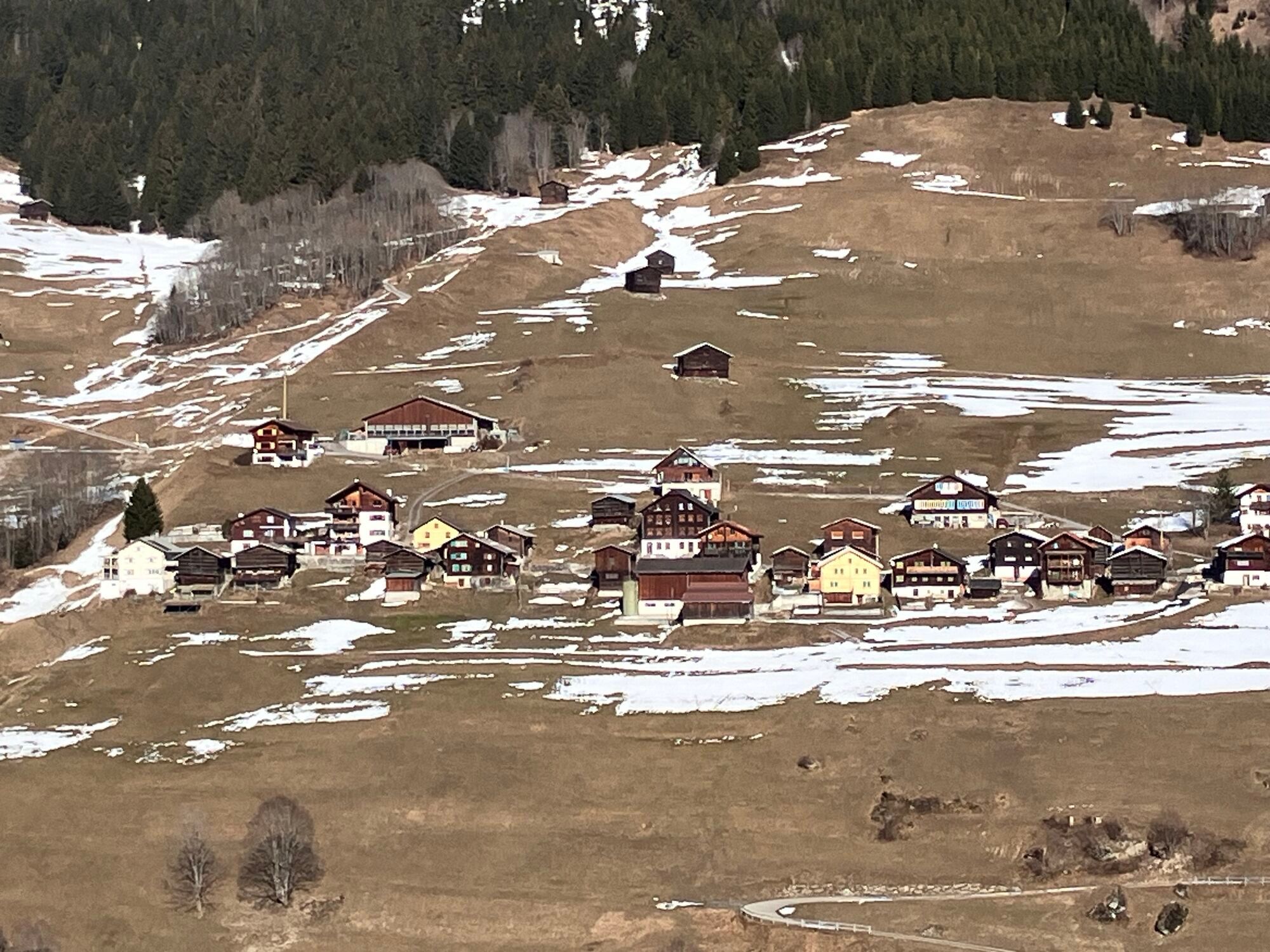
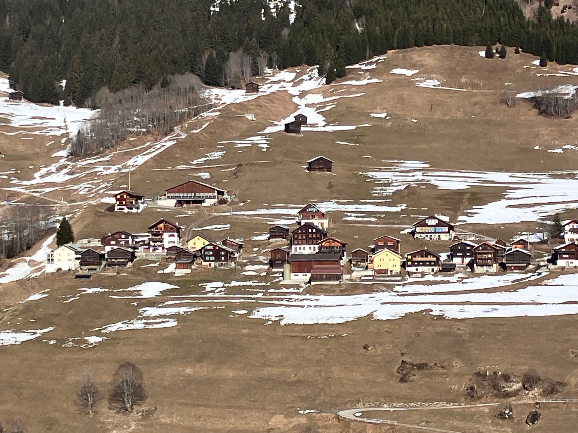
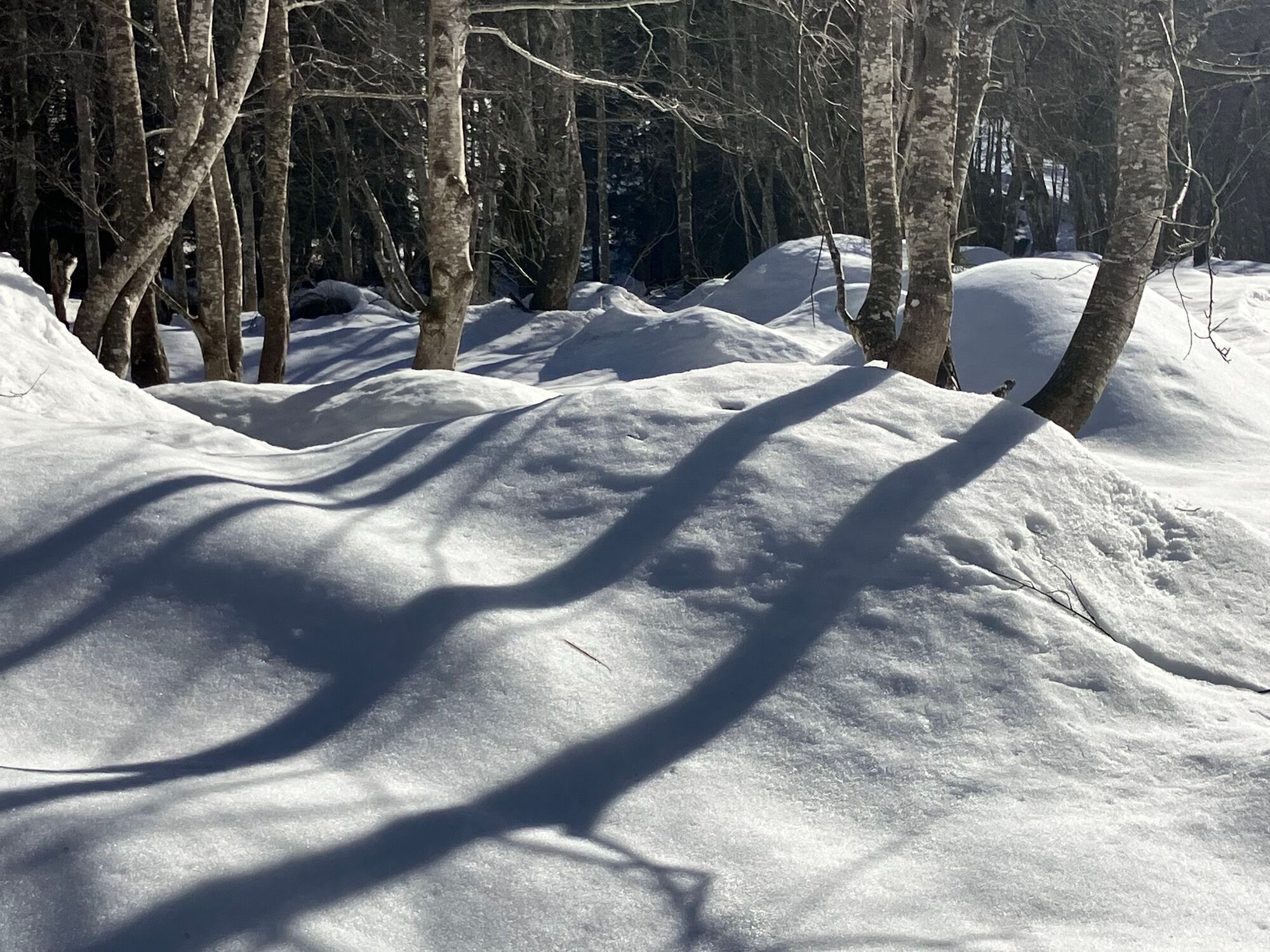
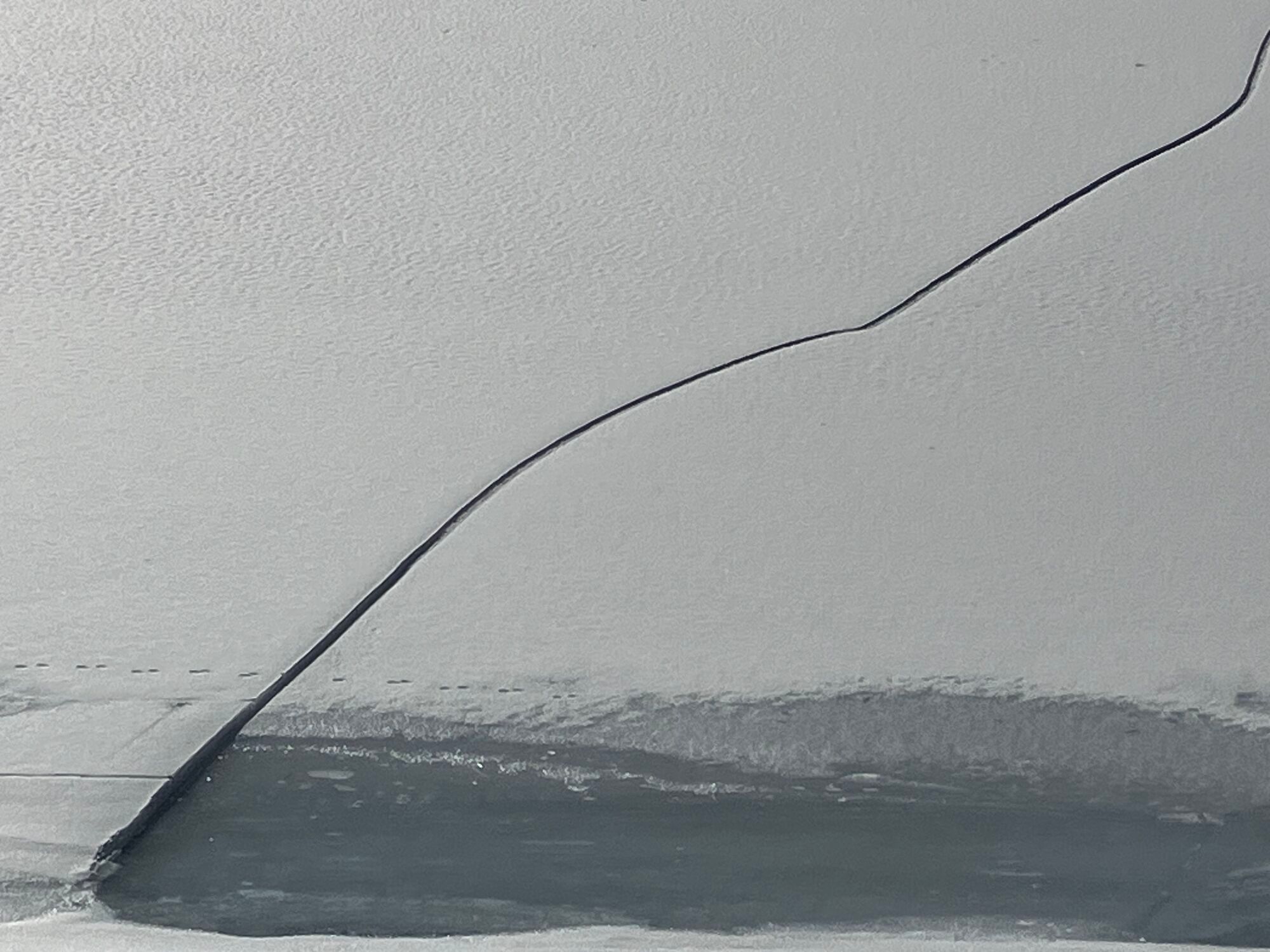
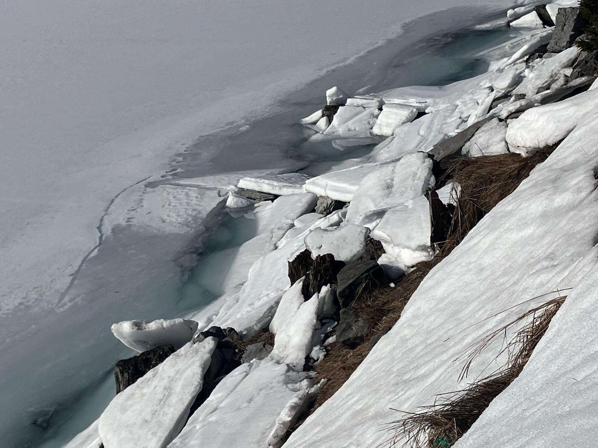
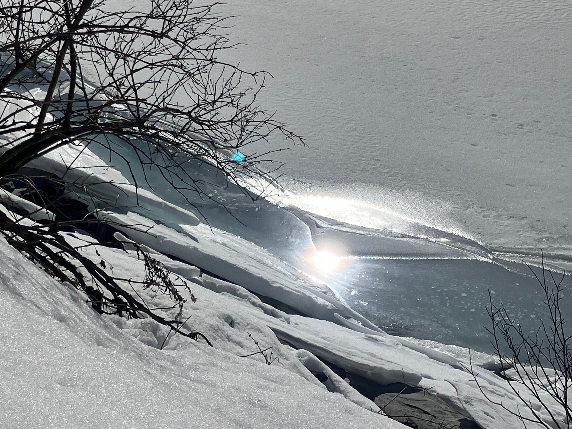
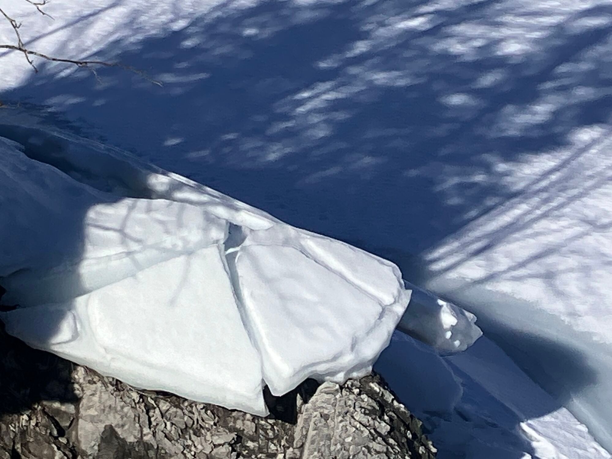
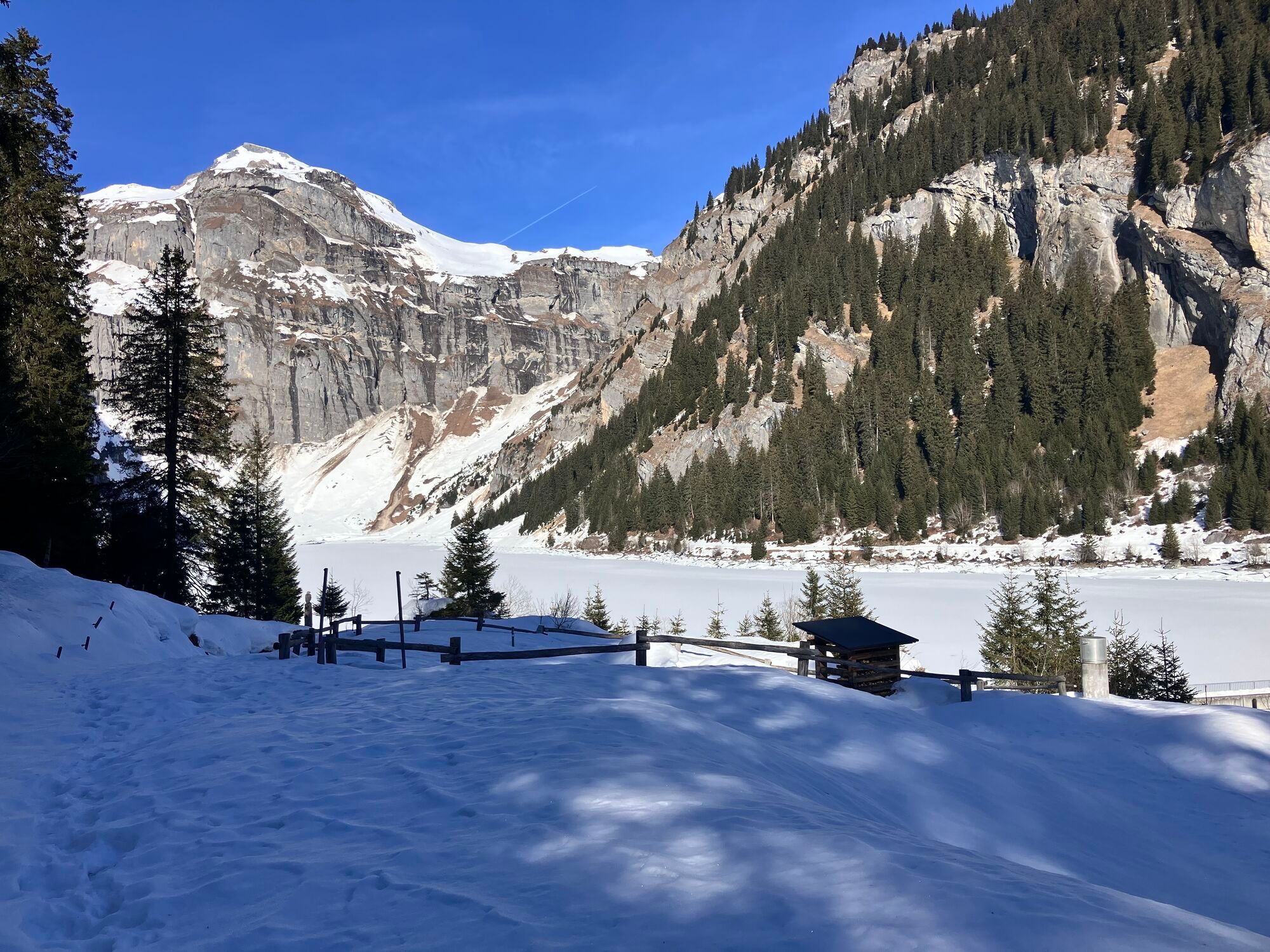
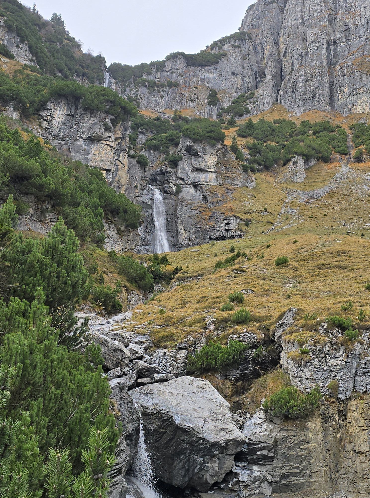
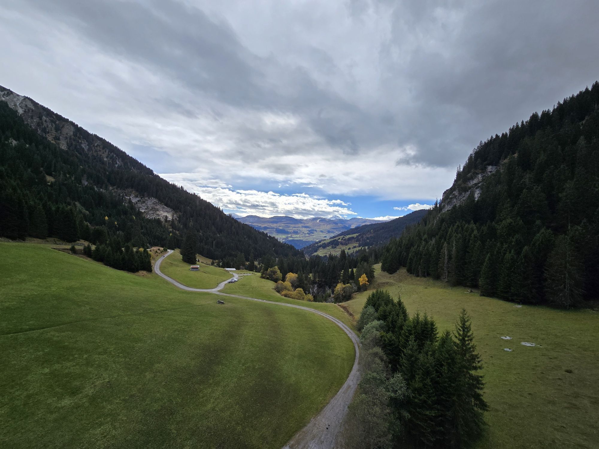
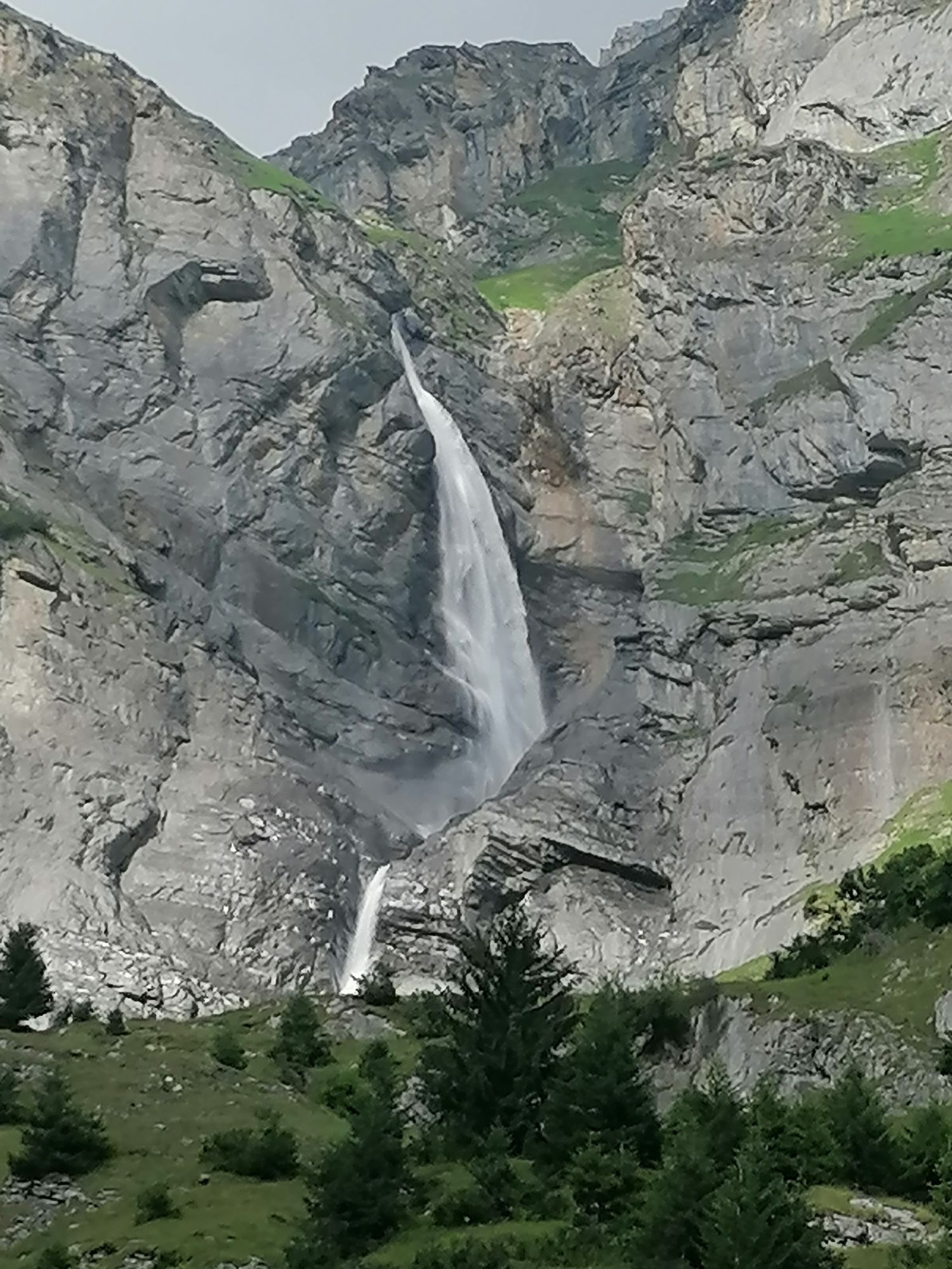
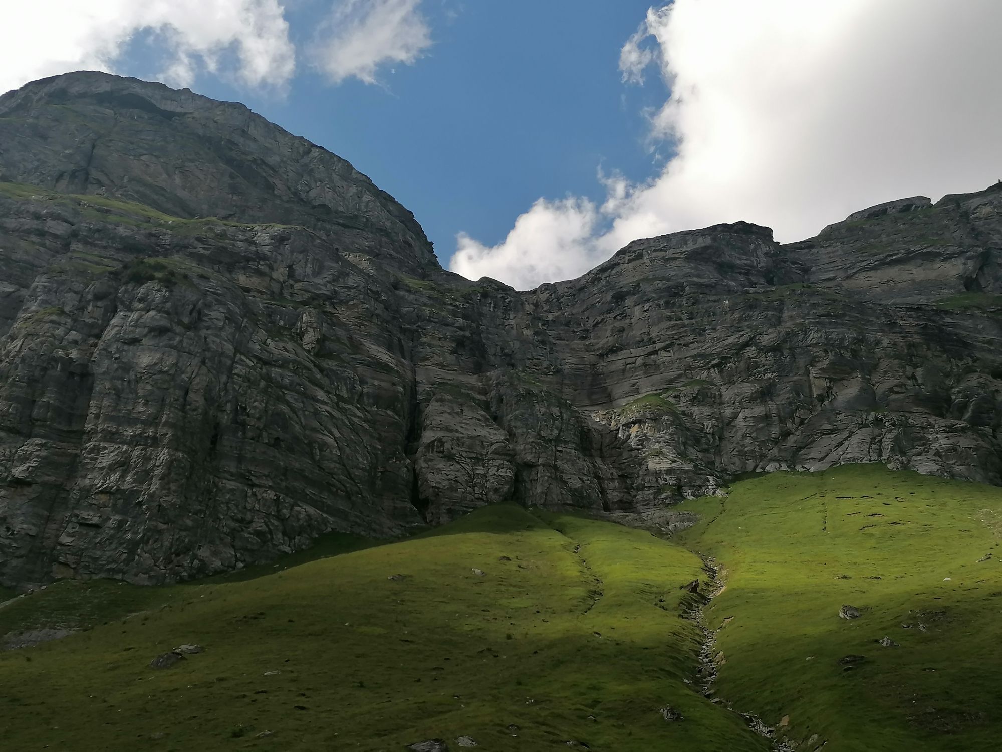

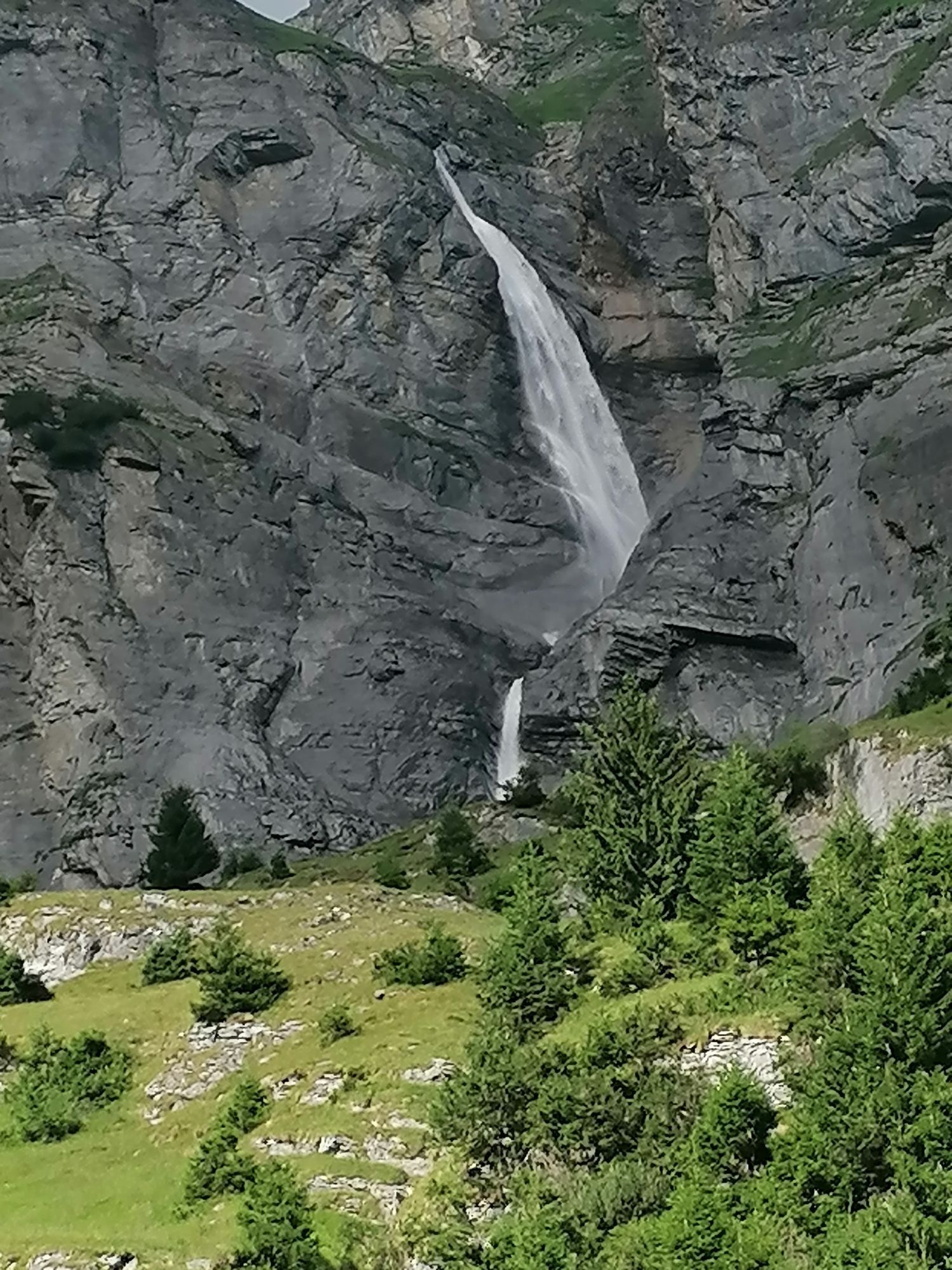
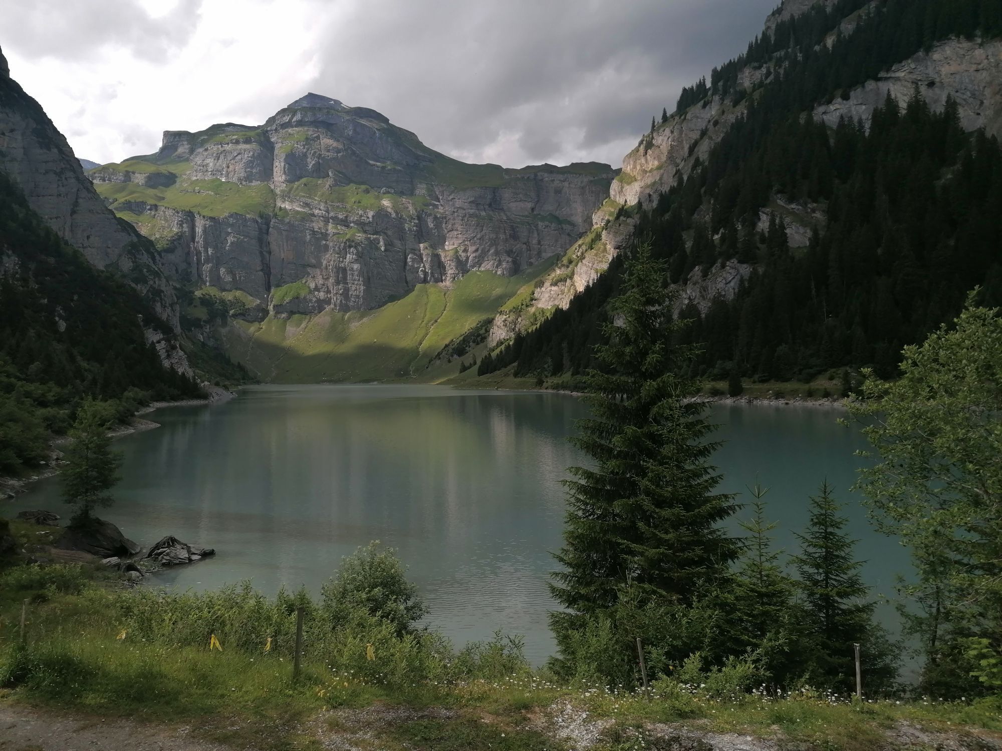
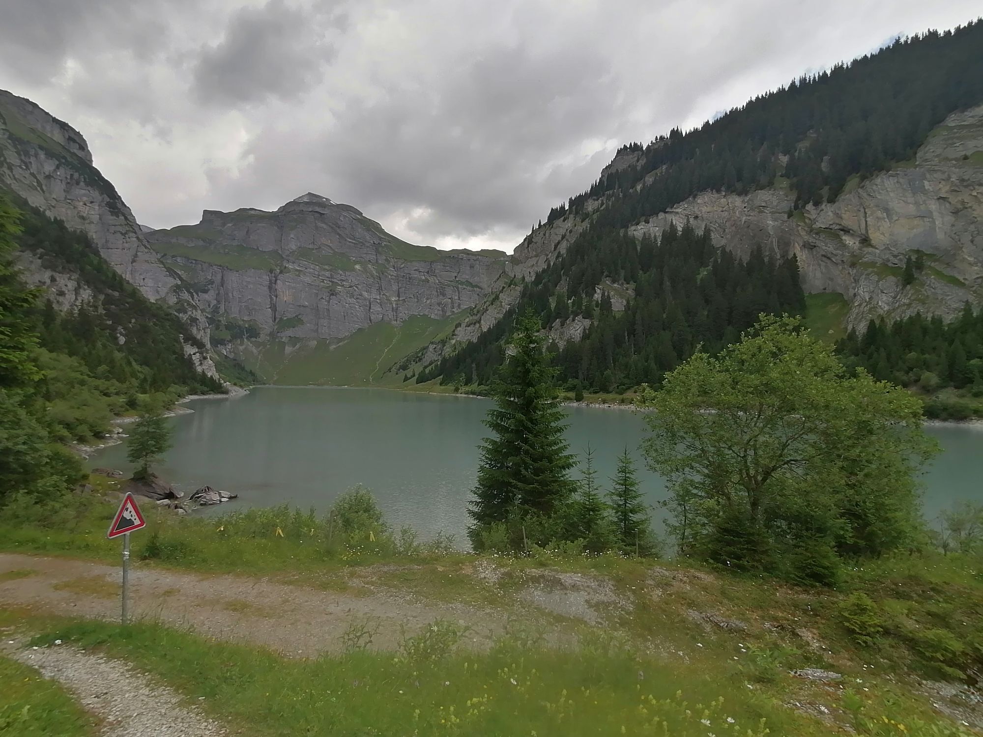
See photos - lovely hike. If you want to walk around the lake only, you can drive up to PANIX and find parking there . Probably just a 3 km level walk around the lake then but v beautiful. Perhaps for...
See photos - lovely hike.
If you want to walk around the lake only, you can drive up to PANIX and find parking there . Probably just a 3 km level walk around the lake then but v beautiful. Perhaps for elderly visitors.
Otherwise recommend full hike from ANDIAST.



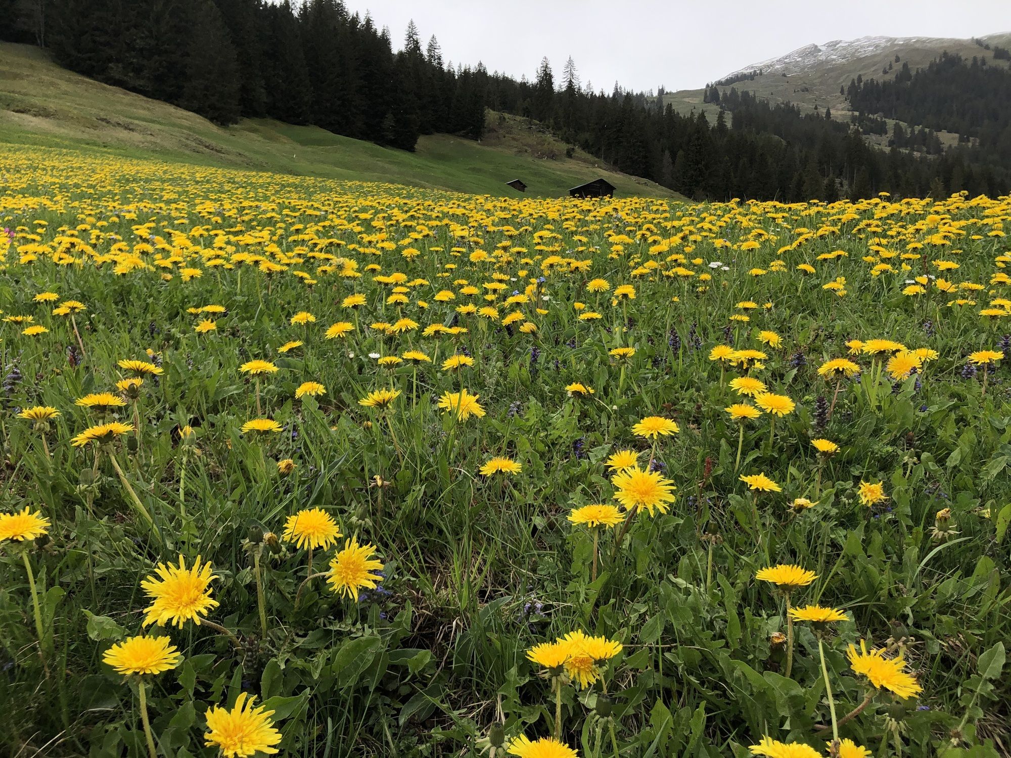


From Laax drive to Ilanz and beyond, take right hand turn up a small, steep mountain road to ANDIAST.
( through village of Vuorz)
Find parking right by the hiking trail, either at end of village or at mapped out start point of this hike.
Solid footwear, hiking poles an advantage
Car, Mountain bike, Bus to starting point
Bus from Ilanz
Ausgangspunkt hat ein paar Parkplätze
Picnic (two fire pits and picnic tables) and water
Rain jacket as weather turns fast around here

Beliebte Touren in der Nähe
-
4,9
Rheinschlucht: Von Ilanz nach Versam ins Herz der Rheinschlucht
mittelWanderung 11,4 km -
5,0
Kalktrittli - Nüschentäli - Muttsee - Obersee - Muttenchopf - Mörtel - Limmerensee - Kalktrittli (durch Stollen)
mittelWanderung 14,8 km -
4,7
Der Wasserweg: Trutg dil Flem 764
schwerThemenweg 8,56 km -
5,0
Hochtal Val Frisal
schwerWanderung 12,4 km -
5,0
Unterer Segnesboden: Nagens Sura - unterer Segensboden - Segneshütte -Alp Nagens
mittelWanderung 6,66 km -
3,5
Tour zum Martinsloch
schwerWanderung 3,82 km -
3,8
Rundwanderung: Falera-Curnius-Alp Dadens-Falera
mittelWanderung 11,4 km -
5,0
Von Tschinglen via Gandstock - Mittaghorn - Martinsmadhütte nach Elm Töniberg
schwerWanderung 9,70 km -
4,5
Panorama Höhenwanderung: Crap Sogn Gion - Fuorcla - Alp Nagens
mittelWanderung 9,44 km -
5,0
Leglerhütte
mittelWanderung 12,5 km

Wandern & Tracking


Verpasse keine Angebote und Inspirationen für deinen nächsten Urlaub
Deine E-Mail-Adresse wurde in den Verteiler eingetragen.





