


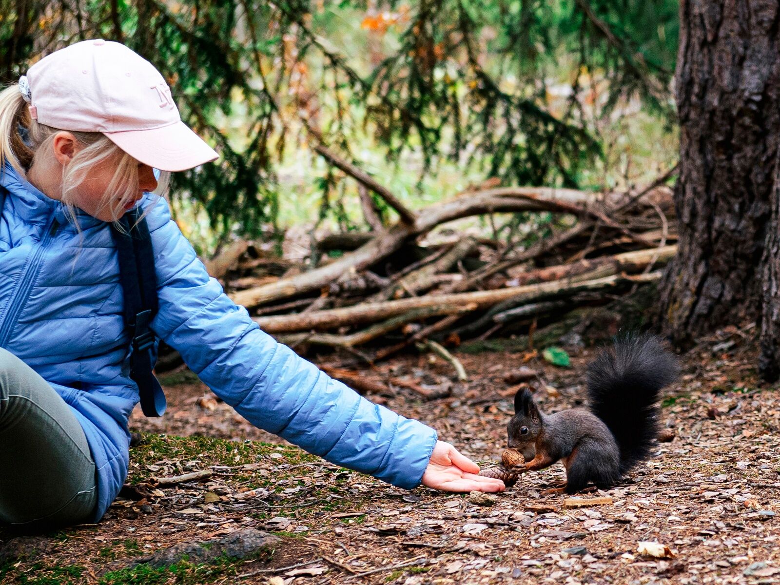
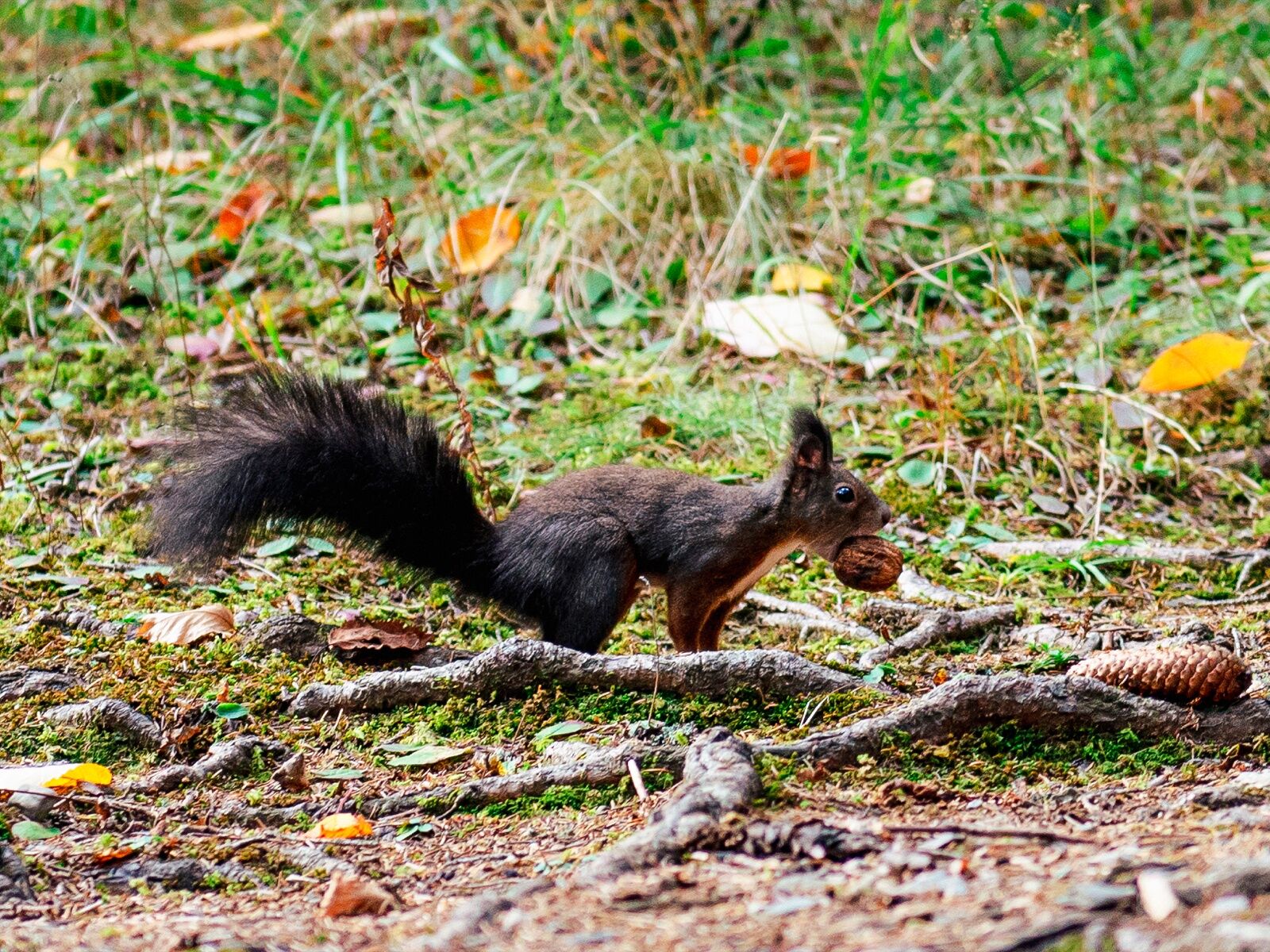
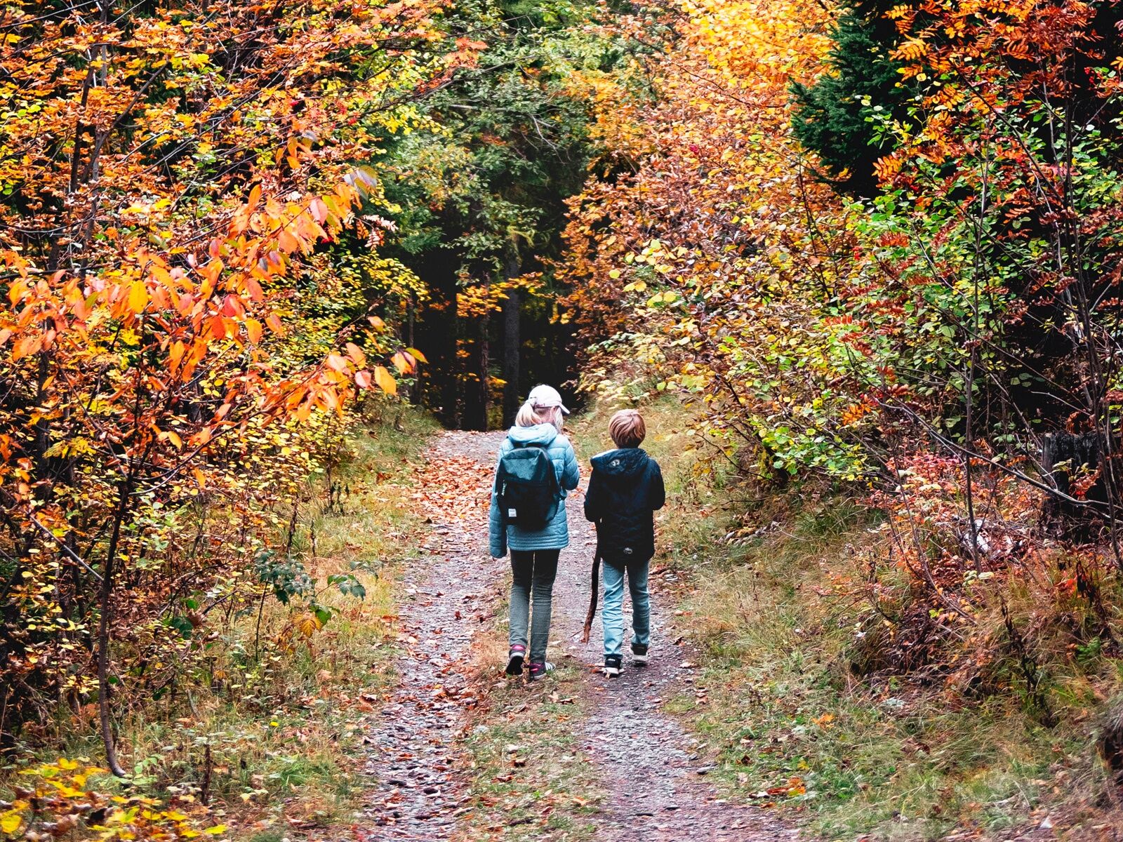
Promenade des Ecureuils


The start is from Ycoor square, in front of the casino. A sign indicates the direction to follow. You thus pass the Tourist Office and climb the stairs leading you in front of the church. You can now follow...
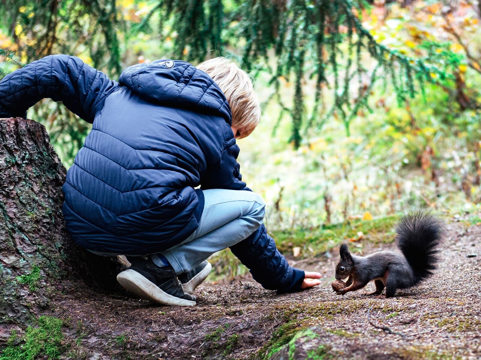
The start is from Ycoor square, in front of the casino. A sign indicates the direction to follow. You thus pass the Tourist Office and climb the stairs leading you in front of the church. You can now follow the road (Route des Arolles) until the next sign indicating to turn right towards the forest. Take some hazelnuts with you and you are there.
Start in Ycoor, opposite the casino - Route des Arolles - Route Cliva-Ratire - Promenade des Ecureuils - Arrival at Route de l'Astoria opposite the Clinique Lucernoise
Ja
Ja
Good walking shoes.
The weather changes rapidly at altitude; plan to bring something to dress accordingly.
Follow the marked trails. Please respect the fauna, flora: nature.
Check the weather conditions before your departure.
Crans-Montana Tourism & Congress declines all responsibility in case of accidents.
To reach Crans-Montana by car, take the exit from highway A9 (Rhône highway) called "Sierre west". At the highway exit, turn left and follow the signs indicating "Sierre". At the roundabout, turn right. Continue for 500 meters and then at the entrance of Sierre, turn left towards "Crans-Montana". Once arrived in Crans-Montana, follow the signs to reach Ycoor, then the Stephani, Victoria or Clovelli parkings. The travel time is about 25 minutes.
The Crans-Montana resort is accessible from Sierre train station with the SMC bus company as well as from Sion train station with the post buses.
The free shuttle buses of the SMC bus company serve the entire Crans-Montana resort. The closest stop to the hike departure is the SMC stop: "Ycoor".
Stephani Parking - Victoria Parking - Clovelli Parking
Paid indoor parking, 1 to 3 minutes on foot from the hike start.
For any other information: https://www.crans-montana.ch/fr/activites/rando?ete
This route is ideal for a family hike.
It is recommended not to give peanuts to the squirrels but rather hazelnuts or walnuts.
Beliebte Touren in der Nähe
- 5,0
Bisse du Ro
leichtWanderung11,2 km - 5,0
Bella-Tola
mittelHochtour6,72 km - 4,0
Rund um den Tseuzier Stausee
leichtWanderung4,58 km - 5,0
"Bisse du Tsittoret" mit der Familie
leichtWanderung7,14 km - 4,0
Klettersteig Belvédère
mittelKlettersteig1,81 km - 5,0
Klettersteig Daubenhorn
schwerKlettersteig5,34 km - 5,0
Wildstrubel Umrundung 4-Tage
mittelWanderung79,1 km - 4,0
Tripon - Brac – Ancien Bisse du Torrent Neuf – St. Marguerite – Torrent Neuf – Prafirmin - St. Germain
leichtWanderung12,9 km - 4,0
Gemmipass - Lämmerenhütte - Rote Totz Lücke - Daubensee - Gemmipass
mittelWanderung13,7 km - 4,0
Grand Bisse de Lens
leichtWanderung8,73 km
Wandern & Tracking


Verpasse keine Angebote und Inspirationen für deinen nächsten Urlaub
Deine E-Mail-Adresse wurde in den Verteiler eingetragen.