






Circular hike on the panorama trail Morschach
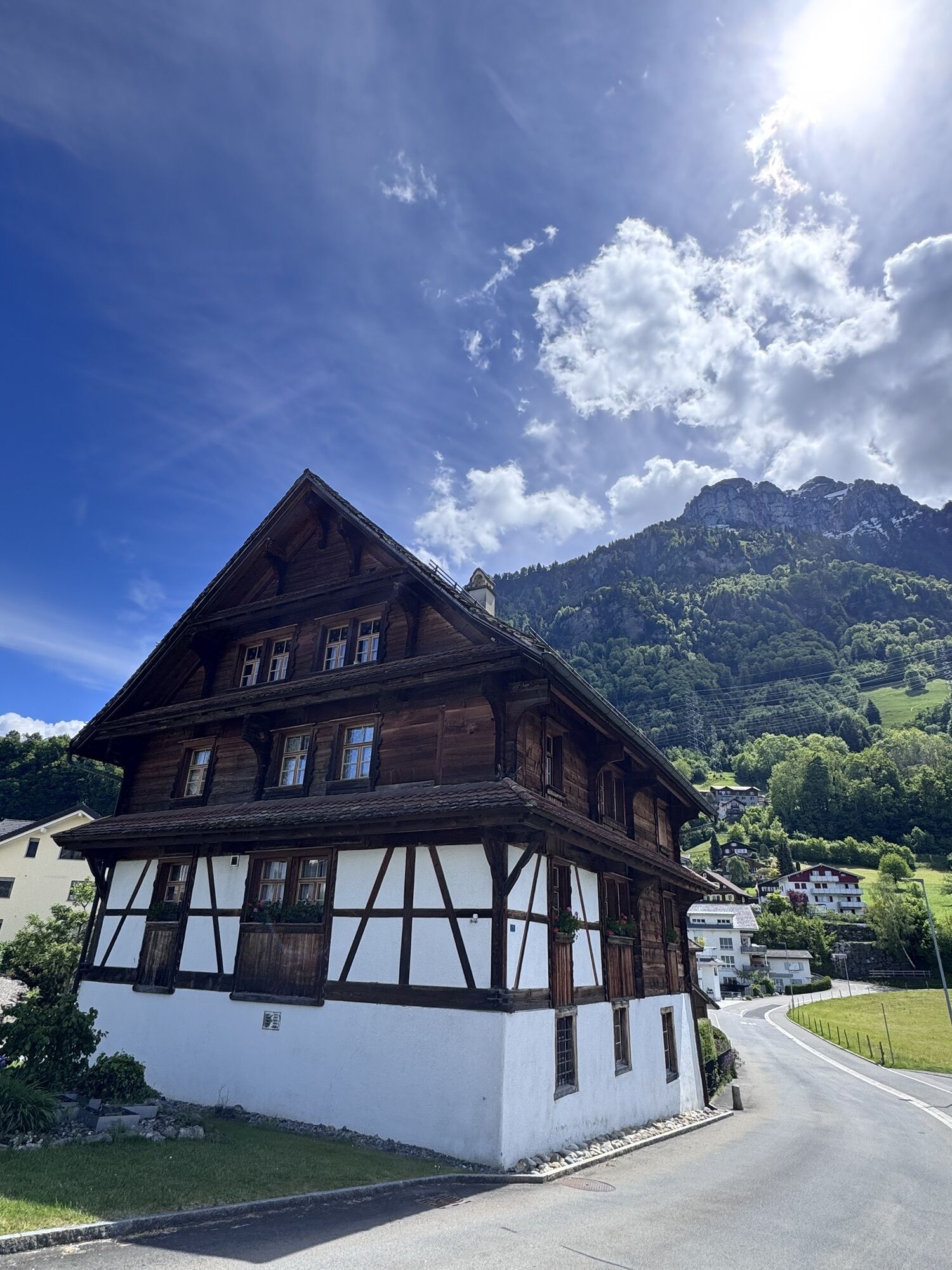
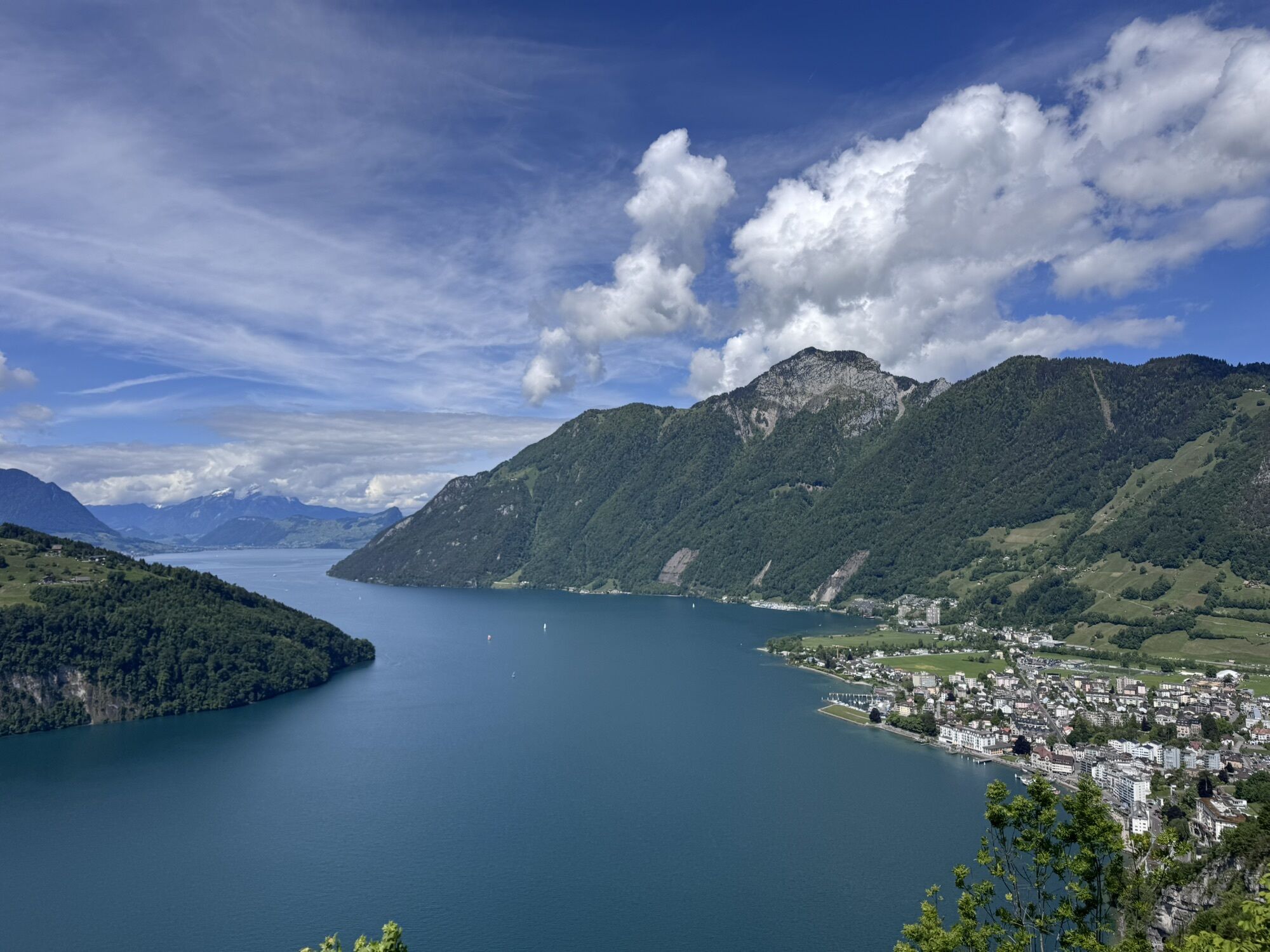
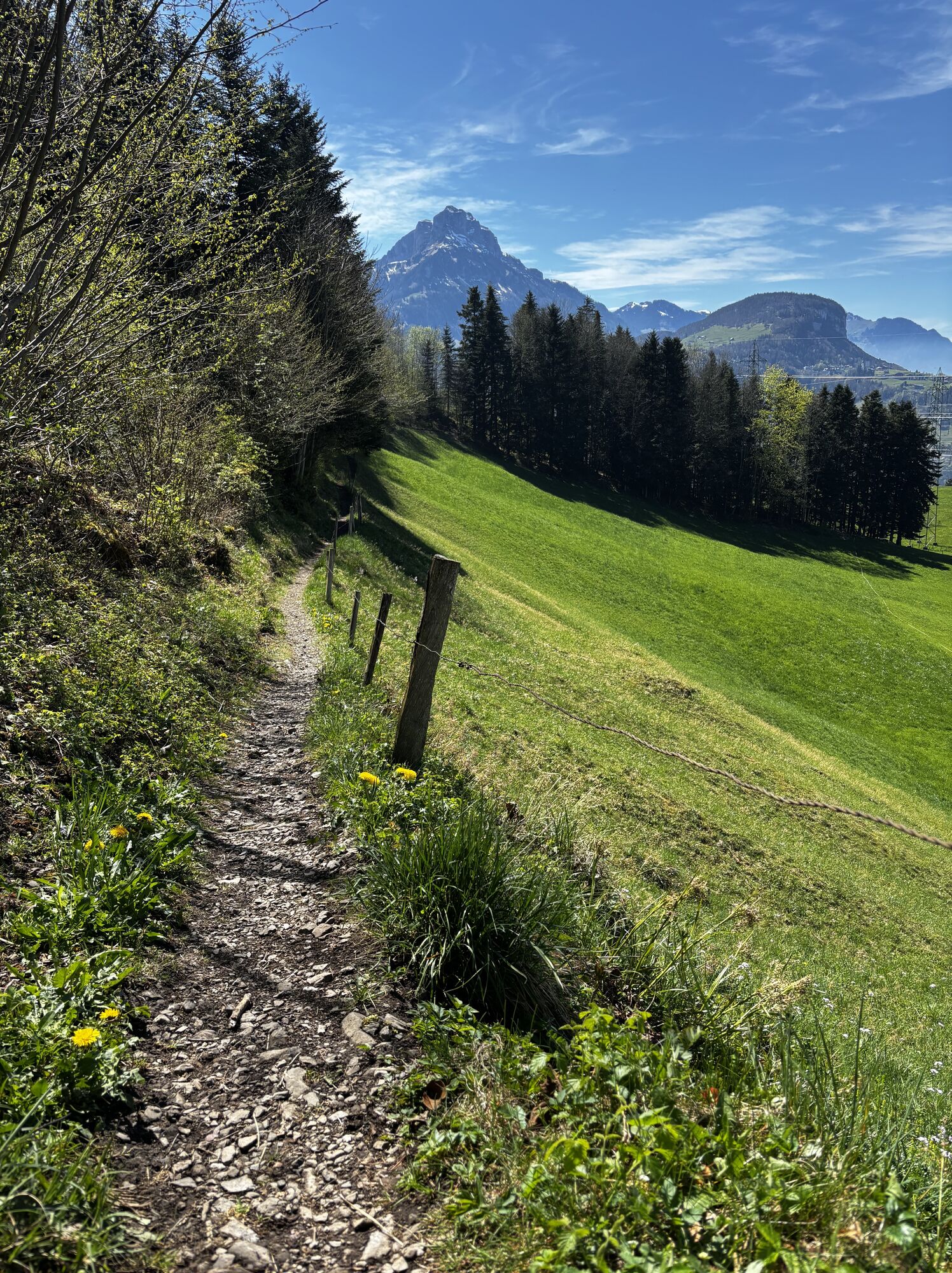
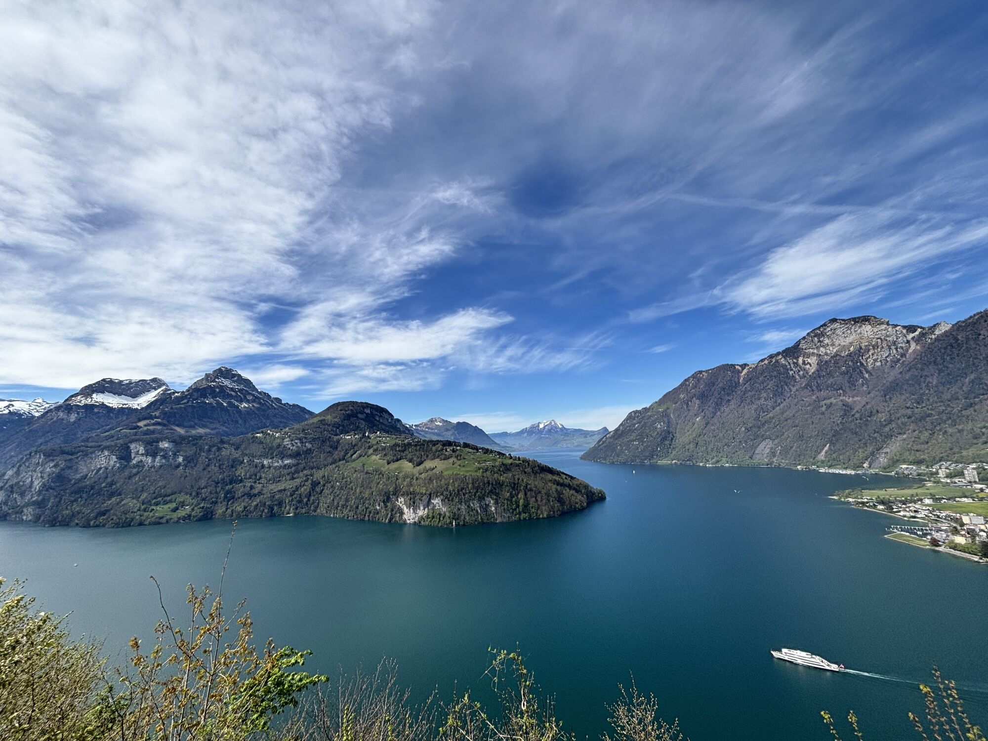

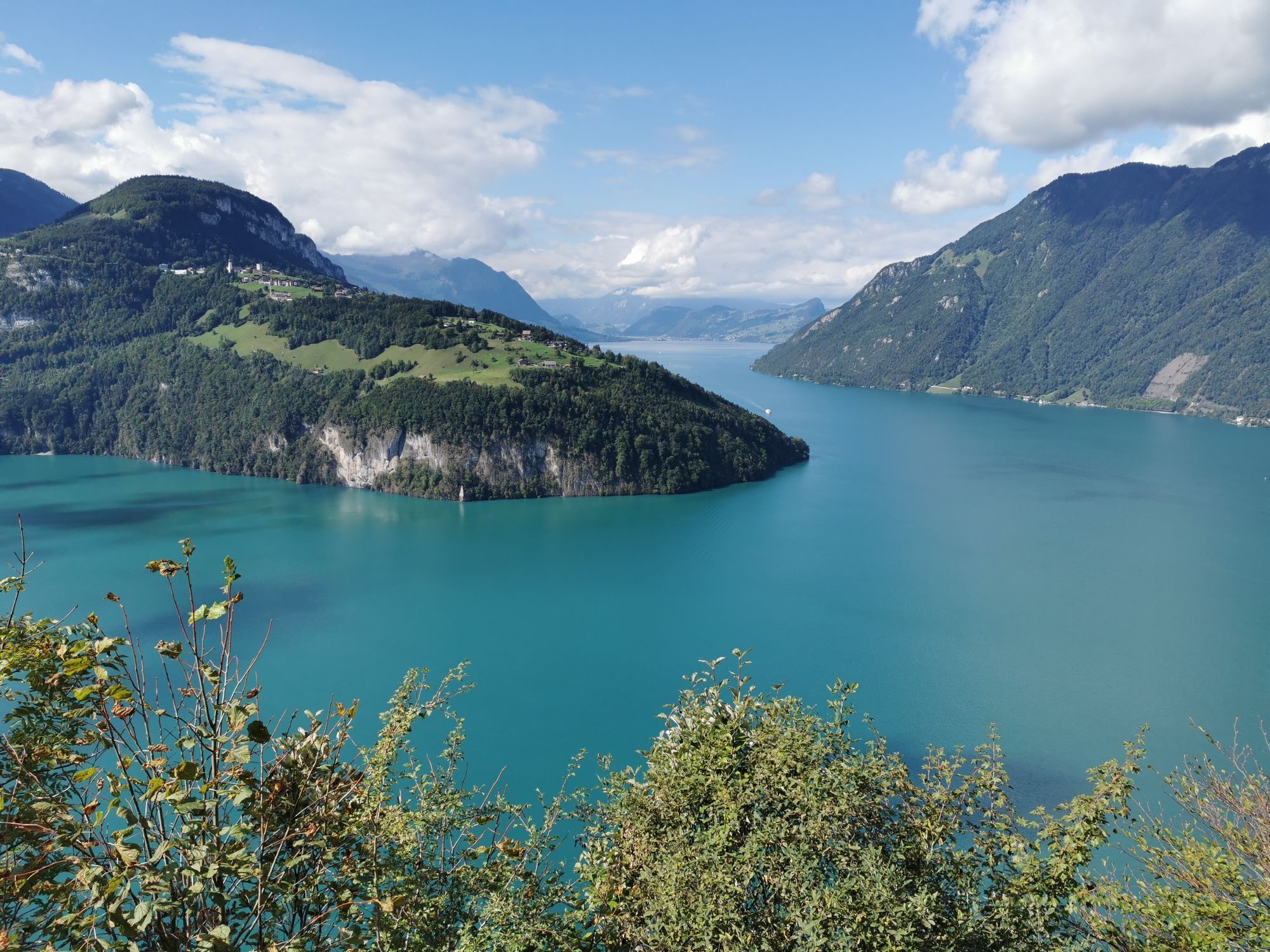
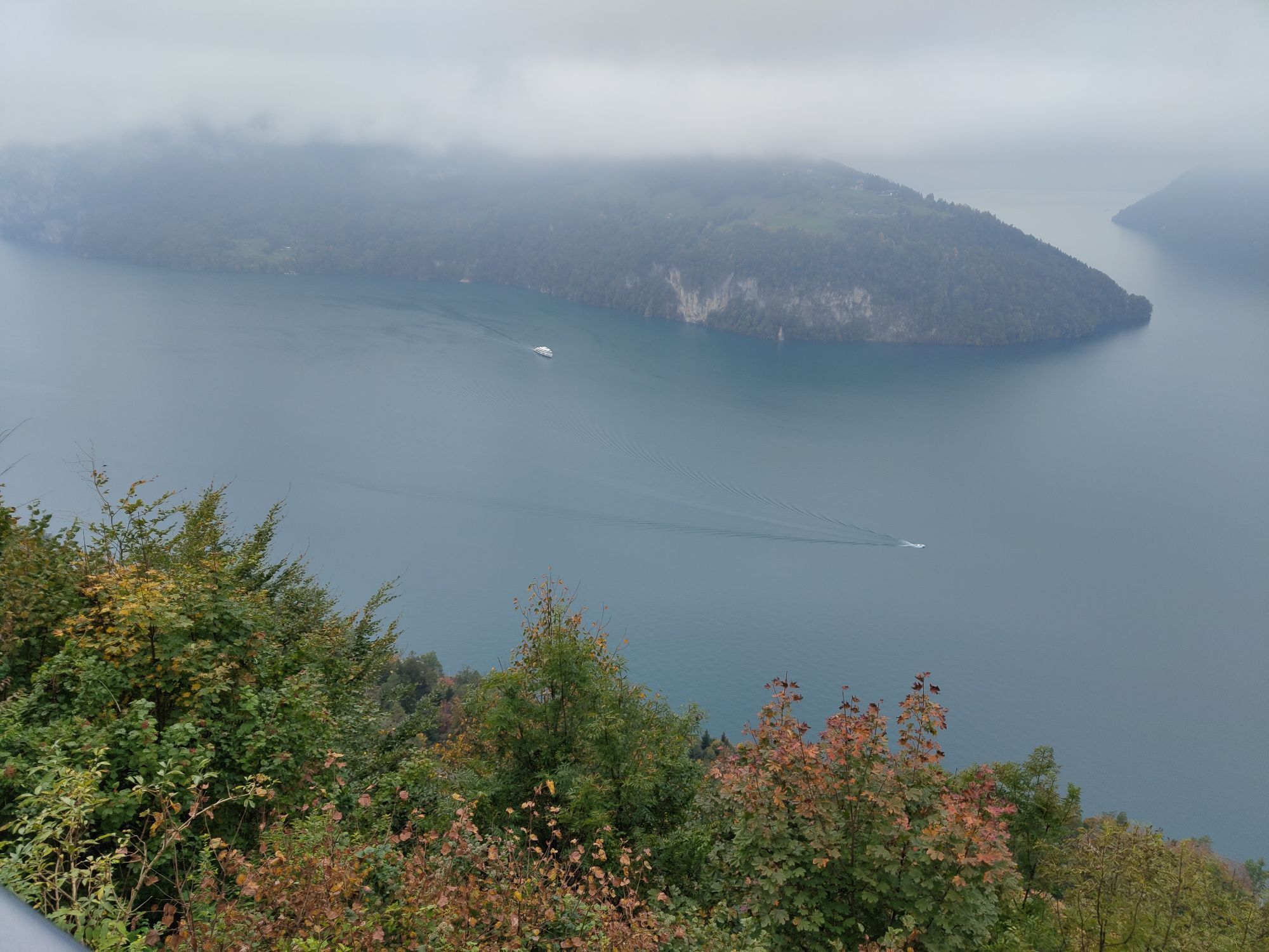
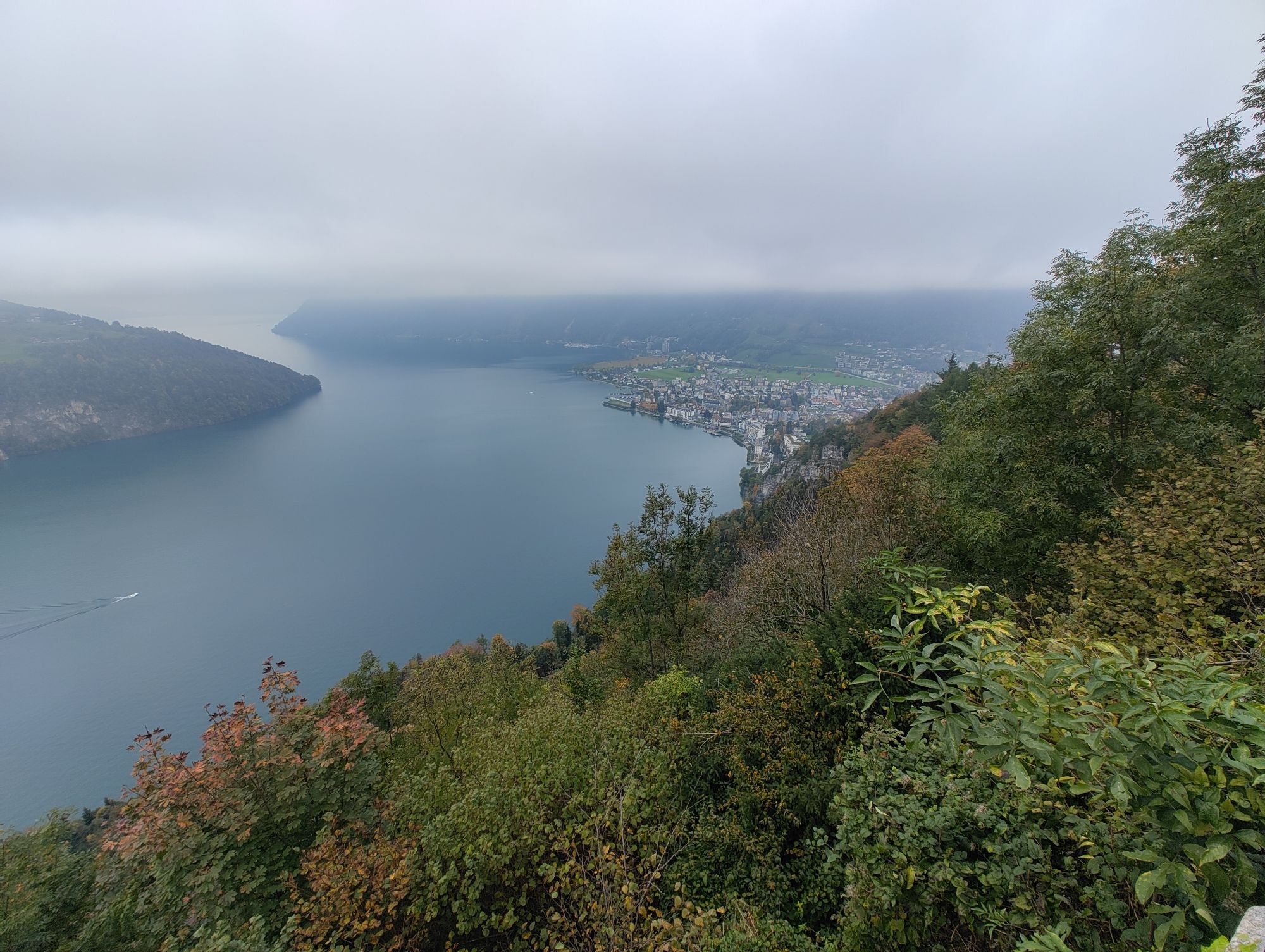
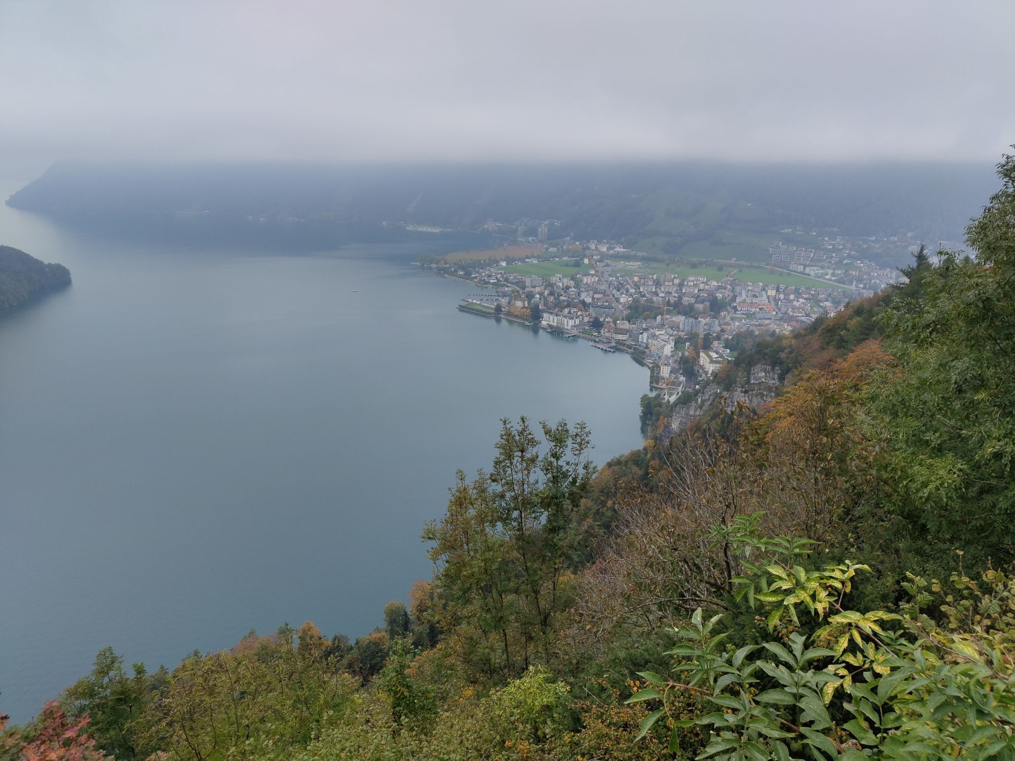
In the village centre of Morschach we begin the circular hike around the village of Morschach, which first takes us along the "Swiss Path" towards Axenstein. Passing the old track of the electric rack...
In the village centre of Morschach we begin the circular hike around the village of Morschach, which first takes us along the "Swiss Path" towards Axenstein. Passing the old track of the electric rack railway, which brought noble guests from Brunnen to the Morschach Grandhotels between 1905 and 1969, we reach the uniquely beautiful panoramic terrace at Axenstein. After an extensive view of Lake Lucerne, we walk along the golf course past the restaurant, which is open to everyone, and on the left, shortly before the Schwyzerhöchi, we see a unique Druidenstein, a so-called granite foundling, which was transported there in the last ice age. From the Schwyzerhöchi we hike on to the Ferienhof Rüti. Here the valley basin of Schwyz lies at our feet and we enjoy a clear view of the Schwyz landmark: the small and large Mythen, with its steep cliffs. Via the car park of the cable car Morschach-Stoos and past the Nägelisgärtli we reach the highest point of our 2- to 3-hour hike and walk on a narrow path along the edge of the forest towards Dägenbalm. On the way back we go directly over the steep Dägenbalm road down to Morschach or make a small detour to the Lourdes grotto. This quiet place invites you to linger and relax before we walk back to Morschach. In and around the village there are many possibilities to continue the hike.

From the village centre in the direction of Axenstein to Wilgis and Schwyzerhöhe. Continue towards Nägelisgärtli, Ried to Dägenbalm and from there back to the village centre.
Hiking boots with good profile or trekking boots, rain jacket, drink, food, possibly sticks.
Mit dem PW auf der A4 bis Ausfahrt Mositunnel, dann Abzweiger bis Morschach.
Mit den SBB bis Bahnhof Brunnen Fahrplan SBB
Auto AG Schwyz Linie 502 Schwyz-Brunnen mit Linie 504 von Brunnen nach Morschach Fahrplan AAGS
Parkmöglichkeiten im Dorf (gebührenpflichtig).
Visit of the Swiss Holiday Park.
Webcams der Tour
-
Stoos - Fronalpstock
-
Stoos - Fronalpstock
-
Stoos - Fronalpstock
-
Stoos - Fronalpstock
-
Stoos - Fronalpstock
-
Stoos - Fronalpstock
-
Stoos - Fronalpstock
-
Stoos Dorf
-
Stoos Dorf
-
Stoos Dorf
-
Stoos Dorf
-
Stoos Dorf
-
Stoos Dorf
-
Stoos - Fronalpstock
-
Stoos Dorf
-
Stoos Dorf
-
Brunnen am Vierwaldstättersee
-
Schwyz
-
Morschach
-
Muotathal
-
Rütliwiese
-
Sisikon Camping
Hol dir den Einblick
Immer live vor Ort mit über 9.500 Webcams. In der Touren App von bergfex siehst du als Pro-User jetzt zu vielen Touren die passenden Webcams. So kannst du dir direkt die aktuellen Bedingungen ansehen.
Beliebte Touren in der Nähe
-
4,9
Gratwanderung Klingenstock
leichtWanderung 9,36 km -
4,6
Rundwanderung
leichtBergwandern 12,9 km -
4,3
Mythenweg - Bergwanderung auf den Grossen Mythen
schwerWanderung 3,40 km -
4,3
Kleiner Mythen
mittelWanderung 6,31 km -
3,9
Rundweg Seebodenalp Küssnacht am Rigi, Schweiz
mittelWanderung 9,56 km -
4,5
Brunni-Feuerstellen-Rundwanderung
leichtWanderung 11,5 km -
4,7
Mythen via Ibergeregg
mittelWanderung 9,73 km -
3,9
Gnipen - ab Goldau - Rundwanderung
mittelWanderung 10,6 km -
5,0
Wanderung entlang der Mythen, Alp "Zwüschet-Mythen"
mittelWanderung 10,5 km -
4,8
Holzegg - Grosser Mythen - Restaurant Grosser Mythen - Alpwirtschaft Brunnialp
mittelWanderung 5,66 km
Wandern & Tracking


Verpasse keine Angebote und Inspirationen für deinen nächsten Urlaub
Deine E-Mail-Adresse wurde in den Verteiler eingetragen.





