






Circular route - "To Steinerberg
The circular trail "Nach Steinerberg" leads from the village of Steinen along the railway line to Blattiswald. Again and again you come across larches, which are rather rare at low altitudes and in the...
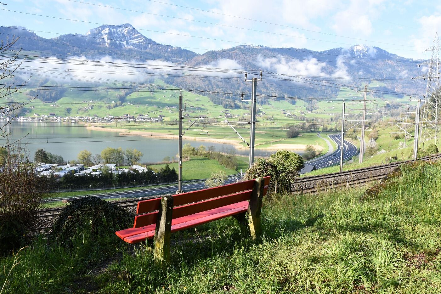
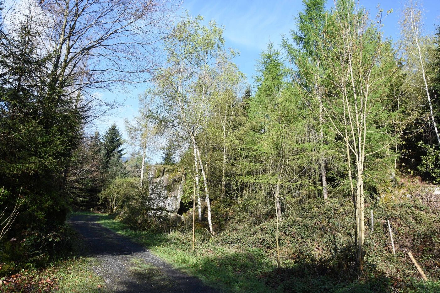
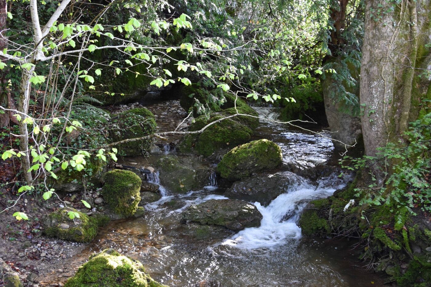
The circular trail "Nach Steinerberg" leads from the village of Steinen along the railway line to Blattiswald. Again and again you come across larches, which are rather rare at low altitudes and in the foothills of the Alps. The circular trail repeatedly offers views of the western shore of Lake Lauerz. In the depressions between the boulders of the landslide, pools form habitats for various amphibian species. In Blattiswald, the circular trail leads through structurally rich cultivated land with hedges, rows of trees and dry stone walls. Past the Steinerberg school and the railway station, the path leads back to the Steinen municipal area shortly after the Mulfisbach stream. The path continues in a varied manner on roads and meadow paths with steps along natural streams, meadows and pastures towards Steinen. The path leads to the publicly accessible playground of the speech therapy school of the canton of SZ and the special school, which invites you to linger. At the end, you can walk comfortably back to Steinen

Steinen railway station 467 m.ü.M - Blattiswald 500 m.ü.M - Schwandegg 577 m.ü.M - Schwandli 576 m.ü.M - Mattenweid 518 m.ü.M - Weidli 494 m.ü.M - Steinen railway station 467 m.ü.M
Hiking shoes or trainers, rain jacket, drink, food, possibly poles.
From Goldau, drive in the direction of Steinen (Goldauerstrasse) and from Schwyz on Schwyzerstrasse in the direction of Steinen. Pass the village square in the direction of Steinen railway station.
At Steinen station there is a car park where you can park for a fee.
"Take a break and have some fine food at the Hirschen Steinerberg restaurant".
Hol dir den Einblick
Immer live vor Ort mit über 9.500 Webcams. In der Touren App von bergfex siehst du als Pro-User jetzt zu vielen Touren die passenden Webcams. So kannst du dir direkt die aktuellen Bedingungen ansehen.
Beliebte Touren in der Nähe
-
4,9
Gratwanderung Klingenstock
leichtWanderung 9,36 km -
4,6
Rundwanderung
leichtBergwandern 12,9 km -
4,3
Mythenweg - Bergwanderung auf den Grossen Mythen
schwerWanderung 3,40 km -
4,3
Kleiner Mythen
mittelWanderung 6,31 km -
3,9
Rundweg Seebodenalp Küssnacht am Rigi, Schweiz
mittelWanderung 9,56 km -
4,5
Brunni-Feuerstellen-Rundwanderung
leichtWanderung 11,5 km -
4,7
Mythen via Ibergeregg
mittelWanderung 9,73 km -
4,4
Seebodenalp Panoramaweg
leichtWanderung 5,25 km -
3,9
Gnipen - ab Goldau - Rundwanderung
mittelWanderung 10,6 km -
5,0
Wanderung entlang der Mythen, Alp "Zwüschet-Mythen"
mittelWanderung 10,5 km
Wandern & Tracking


Verpasse keine Angebote und Inspirationen für deinen nächsten Urlaub
Deine E-Mail-Adresse wurde in den Verteiler eingetragen.





