


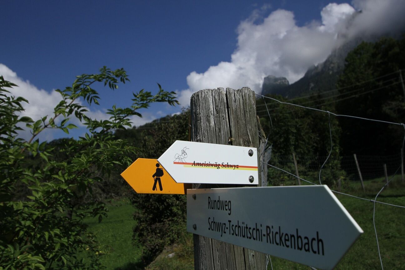
Ant Trail "Ameisiwäg"
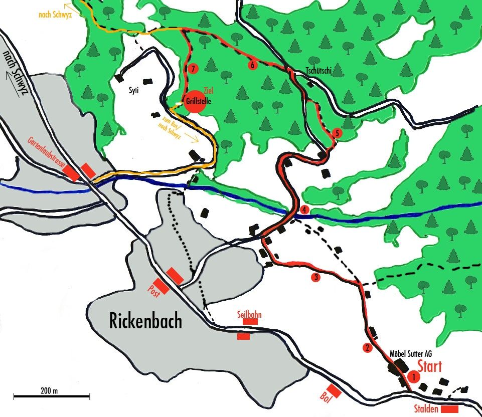
The approximately 2-kilometre-long Ameisiwäg starts at Möbel Sutter AG below the Stalden bus stop (terminus of bus 503) and ends in the Sytiwald above the Gartenlaubenstrasse bus stop. Slightly downhill,...
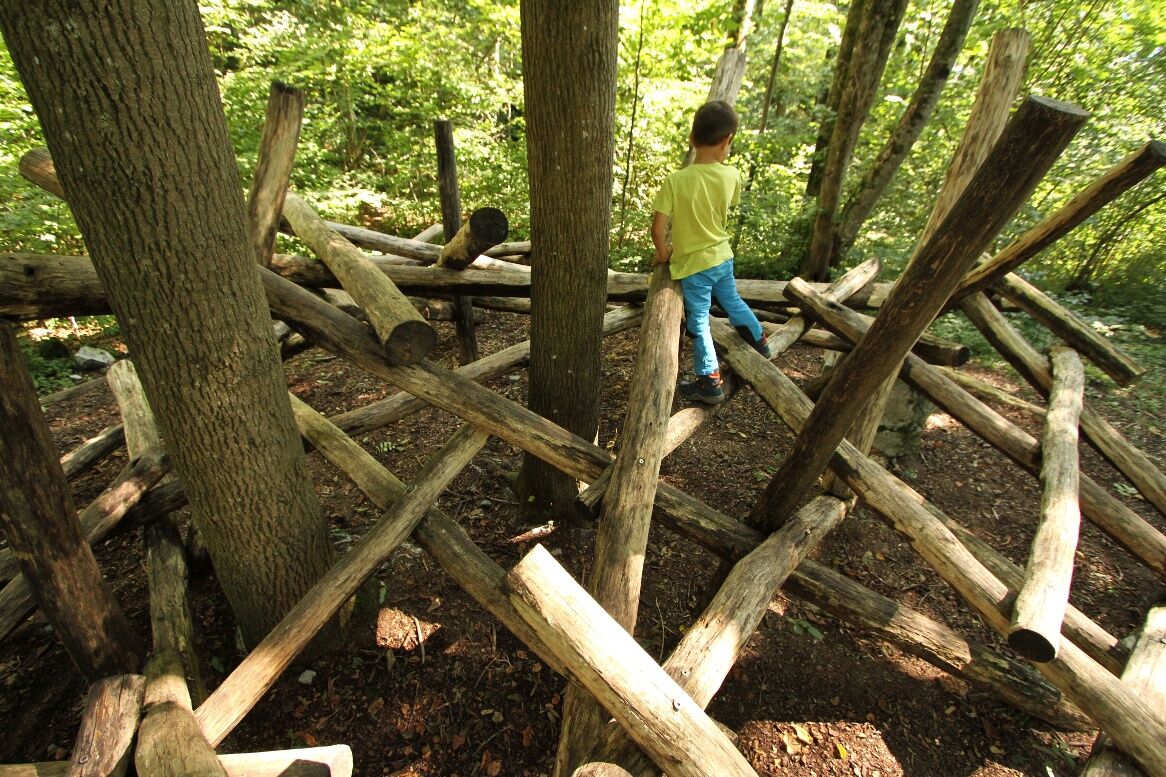
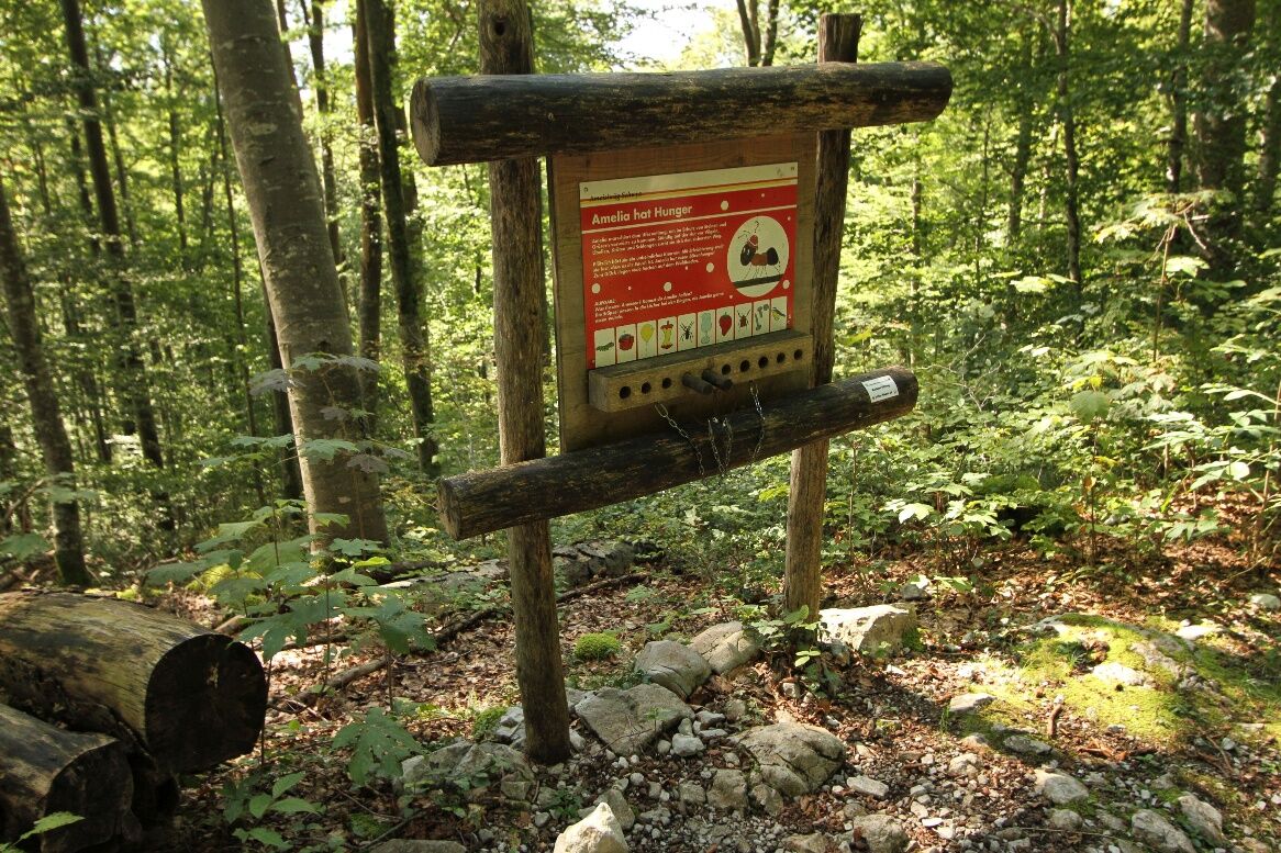
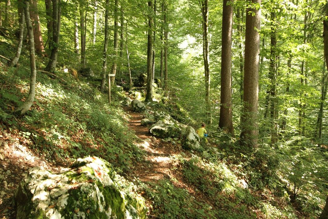
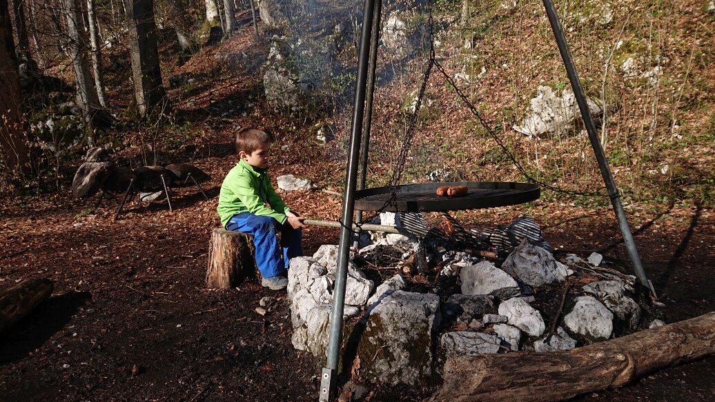
The approximately 2-kilometre-long Ameisiwäg starts at Möbel Sutter AG below the Stalden bus stop (terminus of bus 503) and ends in the Sytiwald above the Gartenlaubenstrasse bus stop. Slightly downhill, Amelia leads her guests through seven adventure stations to a barbecue area in the forest. There, anyone who wants to can climb around in an anthill made of logs while lunch or a snack sizzles on the fireplace.
The distance is about 2 km; pure running time with children about 45 minutes.
The trail is NOT accessible with prams, the Schwyzerweg is too narrow.
Further information about the trail: ameisiwaeg.ch
There are no public parking spaces at the start. We therefore recommend arriving by bus. For example from Schwyz centre or Schwyz train station.
Timetables can be found at www.sbb.ch
You will find paid parking at the Rotenfluebahn.
Webcams der Tour
Bergstation Brunni-Haggenegg
Bärenfang
Skilifte Brunni-Haggenegg, Alpthal
Handgruobi Talstation
Passhöhe Ibergeregg
Talstation Skilift Brunni
Passhöhe Ibergeregg
Bergstation Brünnelistock
Bergstation Stägleren/Rotenflue
Talstation Skilift Brunni
Mythenpark
Stoos Dorf
Stoos Dorf
Stoos Dorf
Stoos Dorf
Stoos Dorf
Stoos Dorf
Stoos Dorf
Stoos Dorf
Rotenflue
Schwyz
Muotathal
Holzegg Bergstation
Beliebte Touren in der Nähe
- 4,9
Gratwanderung Klingenstock
leichtWanderung 9,36 km - 4,5
Rundwanderung
leichtBergwandern 12,9 km - 4,3
Mythenweg - Bergwanderung auf den Grossen Mythen
schwerWanderung 3,40 km - 4,3
Kleiner Mythen
mittelWanderung 6,31 km - 4,5
Brunni-Feuerstellen-Rundwanderung
leichtWanderung 11,5 km - 4,7
Mythen via Ibergeregg
mittelWanderung 9,73 km - 3,9
Gnipen - ab Goldau - Rundwanderung
mittelWanderung 10,6 km - 5,0
Wanderung entlang der Mythen, Alp "Zwüschet-Mythen"
mittelWanderung 10,5 km - 4,8
Rigi Kulm von Vitznau aus
mittelWanderung 17,6 km - 4,8
Holzegg - Grosser Mythen - Restaurant Grosser Mythen - Alpwirtschaft Brunnialp
mittelWanderung 5,66 km
Wandern & Tracking


Verpasse keine Angebote und Inspirationen für deinen nächsten Urlaub
Deine E-Mail-Adresse wurde in den Verteiler eingetragen.