







2 Day Tour Chaiserstock
We start at Schachen in Muotathal, which lies in a plain flanked by high, rugged mountains and follow the signs to Riemenstalden and Lidernenhütte SAC. Via Flüelen and Hellweid, a primeval landslide area,...
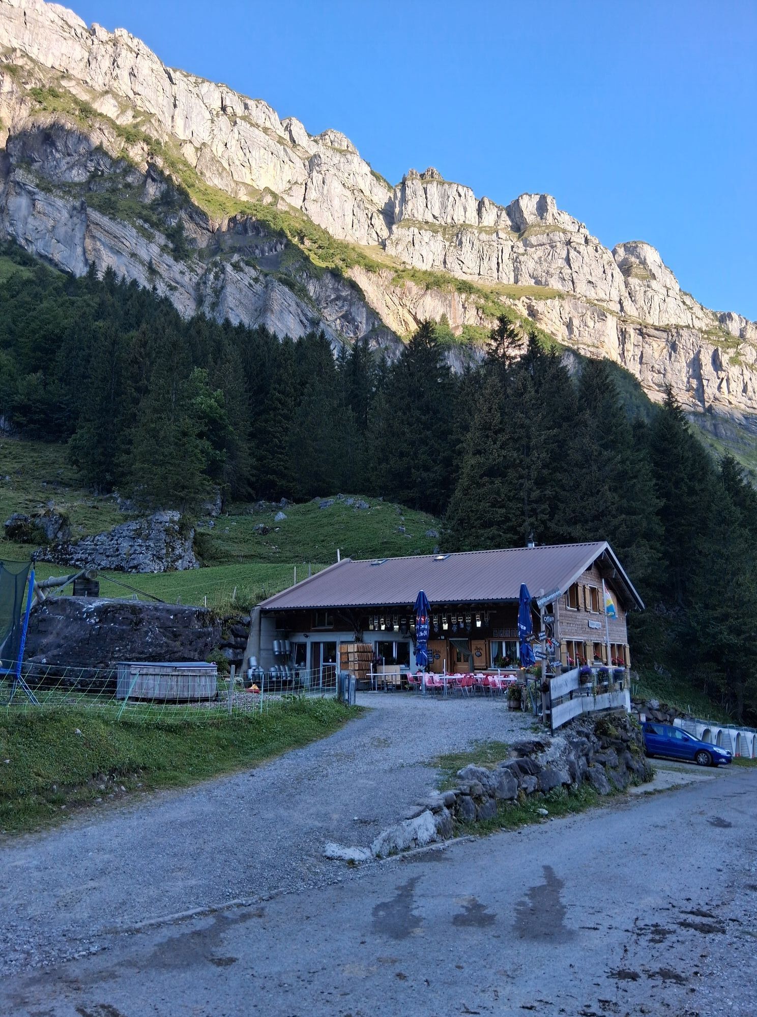
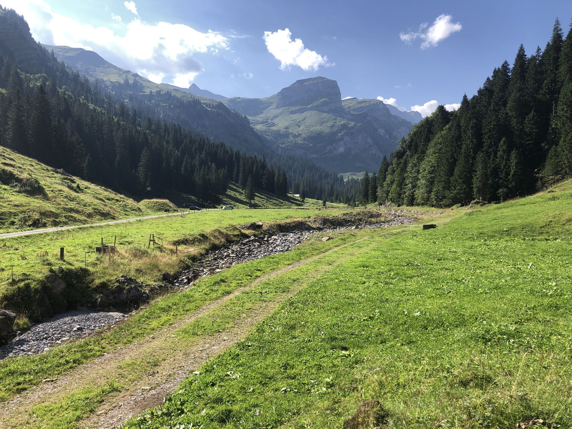
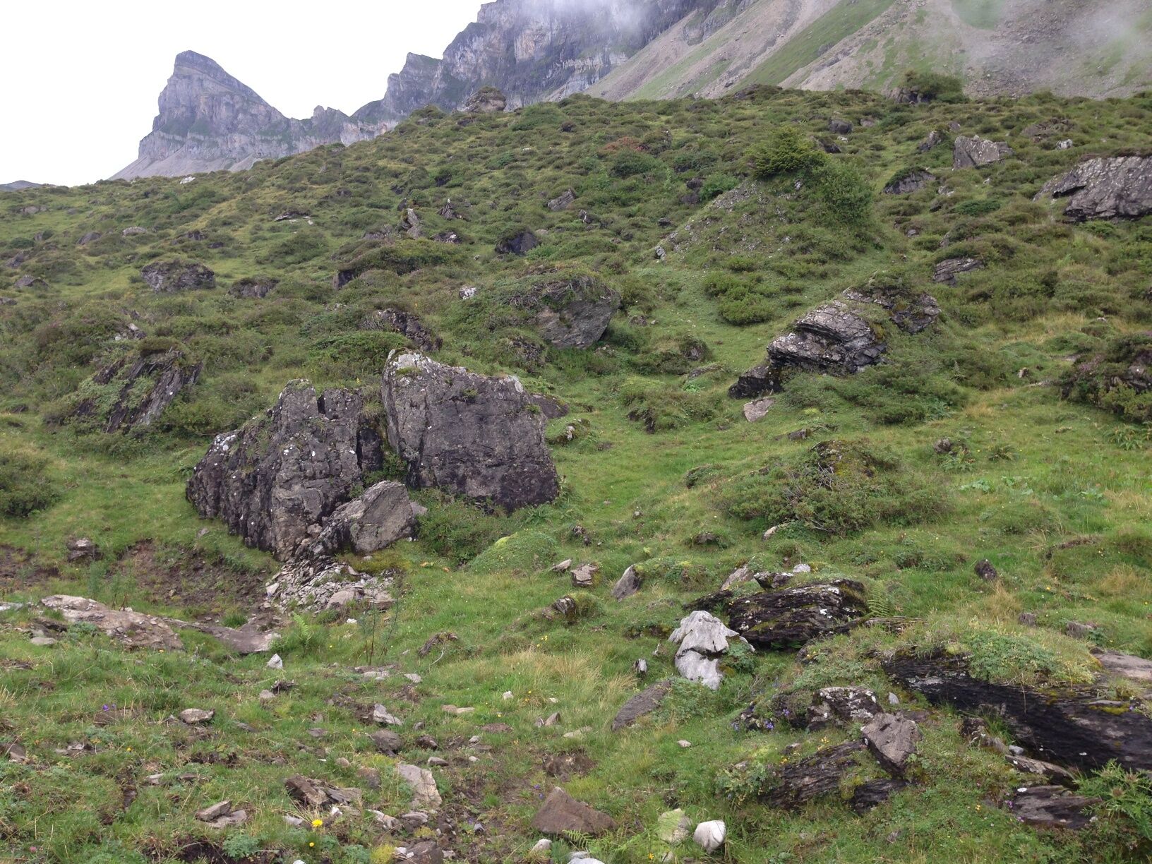
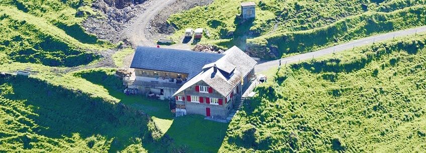
We start at Schachen in Muotathal, which lies in a plain flanked by high, rugged mountains and follow the signs to Riemenstalden and Lidernenhütte SAC. Via Flüelen and Hellweid, a primeval landslide area, we reach Frutt on an asphalt road. From the Flüelen there is also an attractive, only 10 minutes longer alternative on a mountain path through rock bands over the Lower and Upper Wissenwand to Frutt. Here we follow the alpine road to Höchi, the transition to the Riemenstaldner valley. Shortly after Höchi, the path to Lidernenhütte branches off south, first steeply uphill, then restlessly up and down. From a distance we can see our overnight accommodation, the Lidernenhütte SAC. The next morning we follow the signs to the Chaiserstock. Passing the impressive Schmalstöckli we first cross alpine pastures and ascend along several small lakes. The terrain becomes stonier and the rocky southwest face of the Chaiserstock gets closer and closer. The path leads under this high wall past to a steep channel up to the Chaisertor. Now follows the exciting and exposed ridge, secured at exposed points with wire ropes and chains. Above we enjoy the magnificent view in all directions, both into the mountain world and far out into the Mittelland. How many lakes are there?The descent is the same until shortly before the Lidernen Plänggeli; instead of heading northwest to the Lidernen we now choose the steep path through the Lidernen Plänggeli down to the Seenalp. Now a winding path leads us to Liplisbüel and then through the shady, wooded slopes of the Hürital down to Muotathal. Translated with www.DeepL.com/Translator

Schachen, Muotathal - Frutt - Höchi - Lidernenhütte SAC - Chaiserstock - Seenalper Seeli - Liplisbüel - Hinterthal, Muotathal
hiking boots with good profile or high trekking boots, rain jacket, drink, food, possibly sticks
By car first direction Schwyz, then direction Muotathal.
By train to Schwyz, railway station. Then take bus no. 501 in the direction of Muotathal to the bus stop Schachen.
There is a parking lot in Schachen (under the church).
Hol dir den Einblick
Immer live vor Ort mit über 9.500 Webcams. In der Touren App von bergfex siehst du als Pro-User jetzt zu vielen Touren die passenden Webcams. So kannst du dir direkt die aktuellen Bedingungen ansehen.
Beliebte Touren in der Nähe
-
4,8
Gratwanderung Klingenstock
leichtWanderung 9,36 km -
4,6
Rundwanderung
leichtBergwandern 12,9 km -
4,3
Mythenweg - Bergwanderung auf den Grossen Mythen
schwerWanderung 3,40 km -
4,5
Kleiner Mythen
mittelWanderung 6,31 km -
4,5
Brunni-Feuerstellen-Rundwanderung
leichtWanderung 11,5 km -
4,7
Mythen via Ibergeregg
mittelWanderung 9,73 km -
5,0
Wanderung entlang der Mythen, Alp "Zwüschet-Mythen"
mittelWanderung 10,5 km -
4,8
Holzegg - Grosser Mythen - Restaurant Grosser Mythen - Alpwirtschaft Brunnialp
mittelWanderung 5,66 km -
4,8
Rundwanderung: Alplersee - Rophaien - Spilauersee - Lidernenhütte
schwerWanderung 15,5 km -
5,0
Morschach-Fronalpstock-Stoss, Schweiz
mittelWanderung 16,6 km
Wandern & Tracking


Verpasse keine Angebote und Inspirationen für deinen nächsten Urlaub
Deine E-Mail-Adresse wurde in den Verteiler eingetragen.





