







Chur - Trimmis - Zizers - Haldenstein - Chur
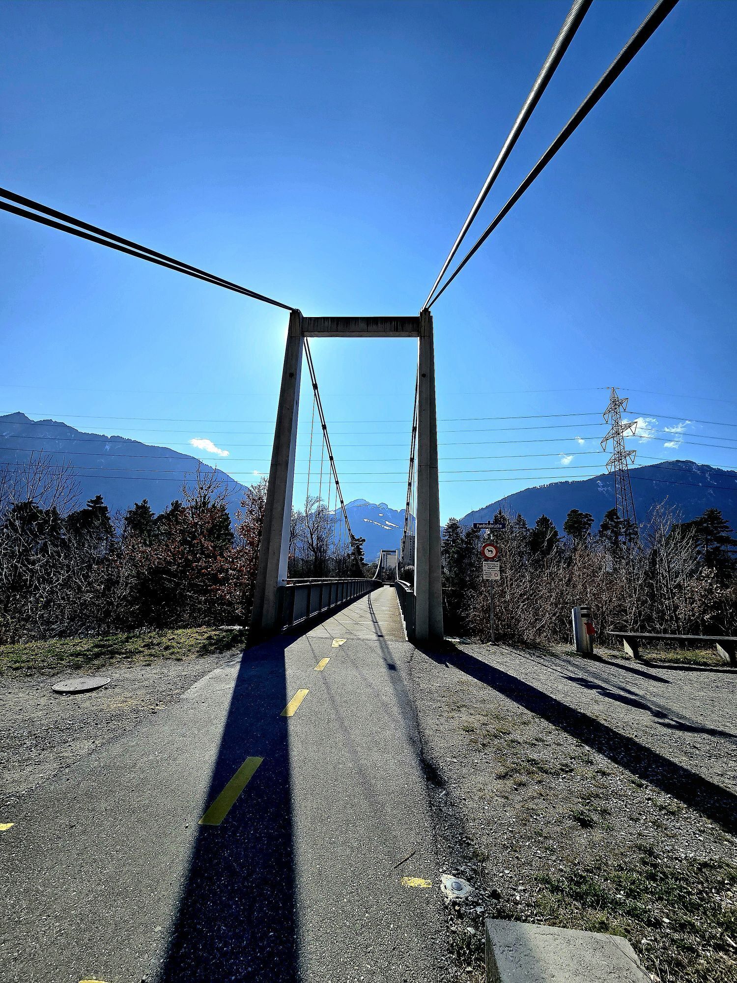
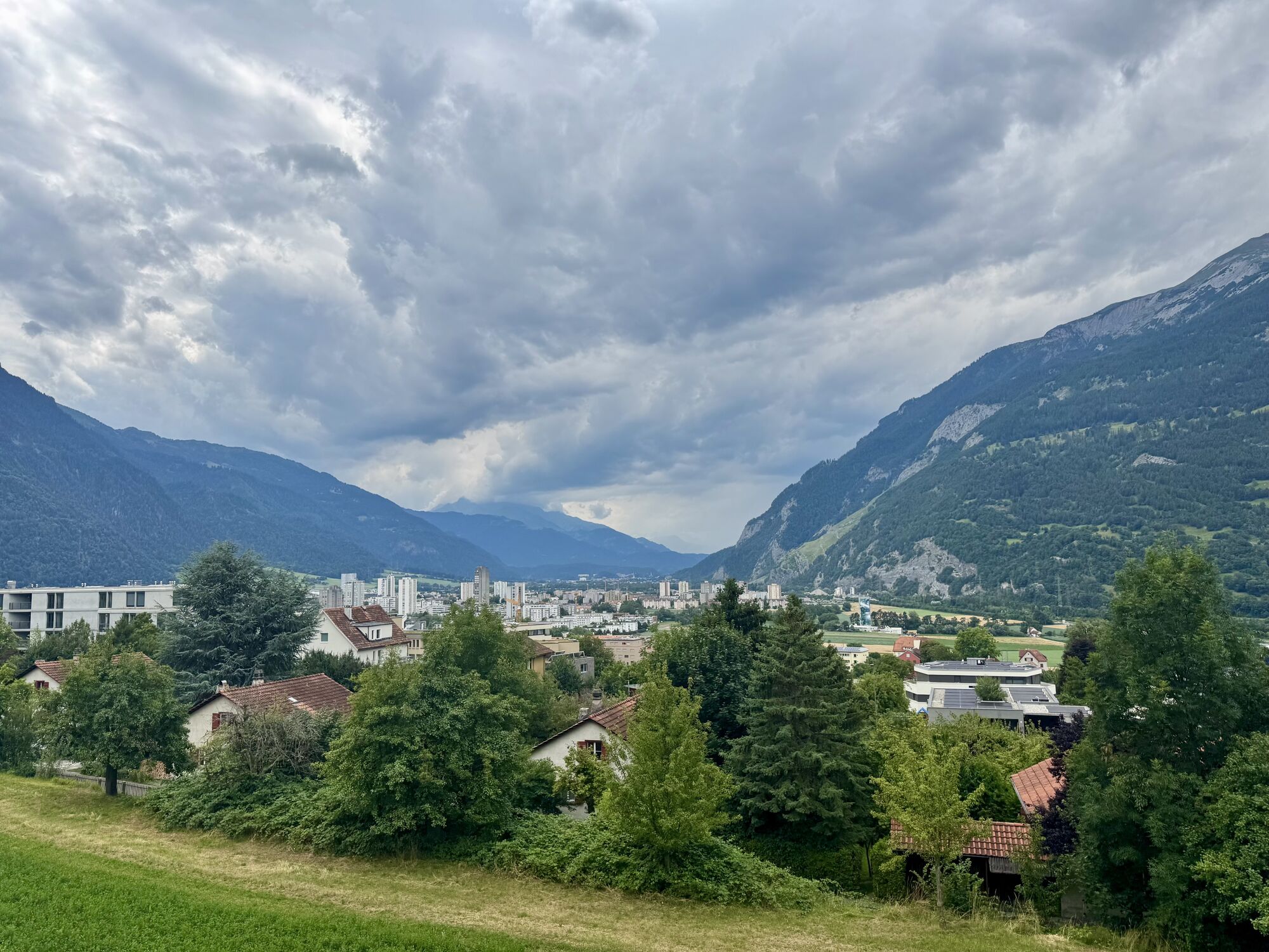
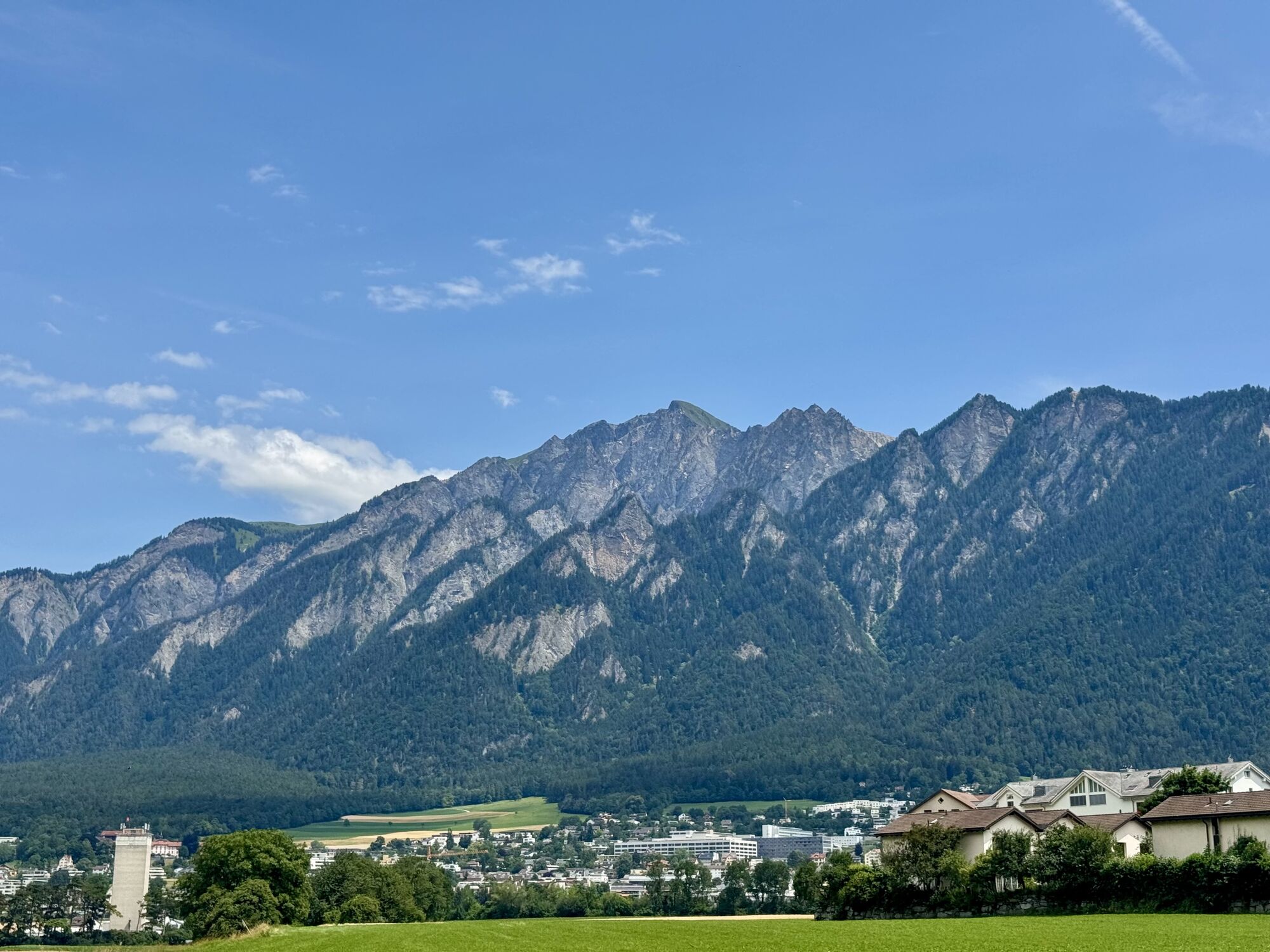
The Chur-Trimmis cycle path over the Trimmiser Mittelweg was opened on 27 November 2019. It leads from the end of the Cadonaustrasse in Chur to the Blutmarchweg in the Fürstenwald and over a new bridge...
The Chur-Trimmis cycle path over the Trimmiser Mittelweg was opened on 27 November 2019. It leads from the end of the Cadonaustrasse in Chur to the Blutmarchweg in the Fürstenwald and over a new bridge at the Maschänserrüfe and the Trimmiser Mittelweg to Trimmis. The Haldenstein-Chur cycle path was opened on 14 December 2018. It leads from Haldenstein along the Rhine to the Pardisla bridge, which was newly built and crosses the Rhine in the direction of Chur.
The two new cycle paths can be combined in a round tour from Chur via Zizers to a beautiful round tour. Provided there is no snow all the way down to the valley, this route can be used practically all year round and is also suitable in winter as a round route for cyclists, cross-country bikers, e-bikers or gravel bikers. Between Trimmis and Zizers, the tour leads through the vineyard landscape and on to Molinära Hof over a piece of unpaved ground (hiking trail). If you prefer to do the whole round on a paved surface, you can go in Trimmis directly down to the Deutsche Strasse and along it to Zizers - so the round is even suitable for racing cyclists (a short section through the Fürstenwald on the new cycle path Chur-Trimmis runs on a not asphalted but paved forest path).

Beliebte Touren in der Nähe
-
4,7
Taminaschlucht-Rundtour
mittelWanderung 14,0 km -
4,6
Pizalun-Rundtour
leichtWanderung 7,18 km -
4,8
Bergwanderung zu den Strudeltöpfen auf der Alp Mora: Bargis-Trin
schwerWanderung 18 km -
4,5
Pizol Gipfeltour
mittelWanderung 9,28 km -
5,0
Rundwanderung Bettlerweg & 2-Seen-Wanderung Pizol
mittelWanderung 11,4 km -
Arosa-Schwellisee-Älplisee-Parpaner Rothorn
Wanderung 12,3 km -
5,0
Weinrunde Malans-Jenins
leichtWanderung 10,3 km -
4,5
Drachenloch
schwerWanderung 9,72 km -
4,7
Arosa-Hörnli-Parpaner Rothorn-Lenzerheide
Wanderung 11,9 km -
5,0
Arosa-Hörnli-Urdenfürrgli-Alp Scharmoin-Lenzerheide
mittelWanderung 15,3 km
Wandern & Tracking


Verpasse keine Angebote und Inspirationen für deinen nächsten Urlaub
Deine E-Mail-Adresse wurde in den Verteiler eingetragen.





