


Dreibündenstein (Lady Patricia)
Fotos unserer User
-
 © Peter OlgiatiErstellt am 08.04.2026
 -
 © Peter OlgiatiErstellt am 15.02.2026
 -
 © Peter OlgiatiErstellt am 15.02.2026
 -
 © Peter OlgiatiErstellt am 28.12.2025
 -
 © Peter OlgiatiErstellt am 28.12.2025
 -
 © Rosmarie BrandnerErstellt am 29.11.2025
 -
 © Peter OlgiatiErstellt am 11.09.2025
 -
 © Peter OlgiatiErstellt am 11.09.2025
 -
 © Philipp ChrestaErstellt am 13.06.2025
 -
 © Philipp ChrestaErstellt am 13.06.2025


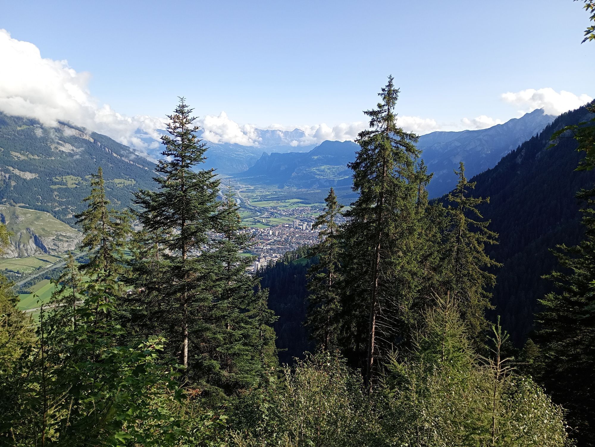
This challenging round tour starts at the northern side of the Chur railway station. Through the villages of Felsberg and Domat/Ems you reach the golf course in Domat/Ems. That's where the ascent starts....
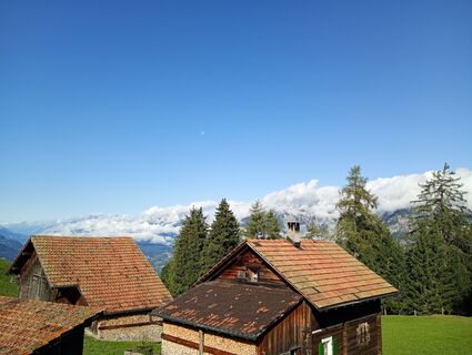
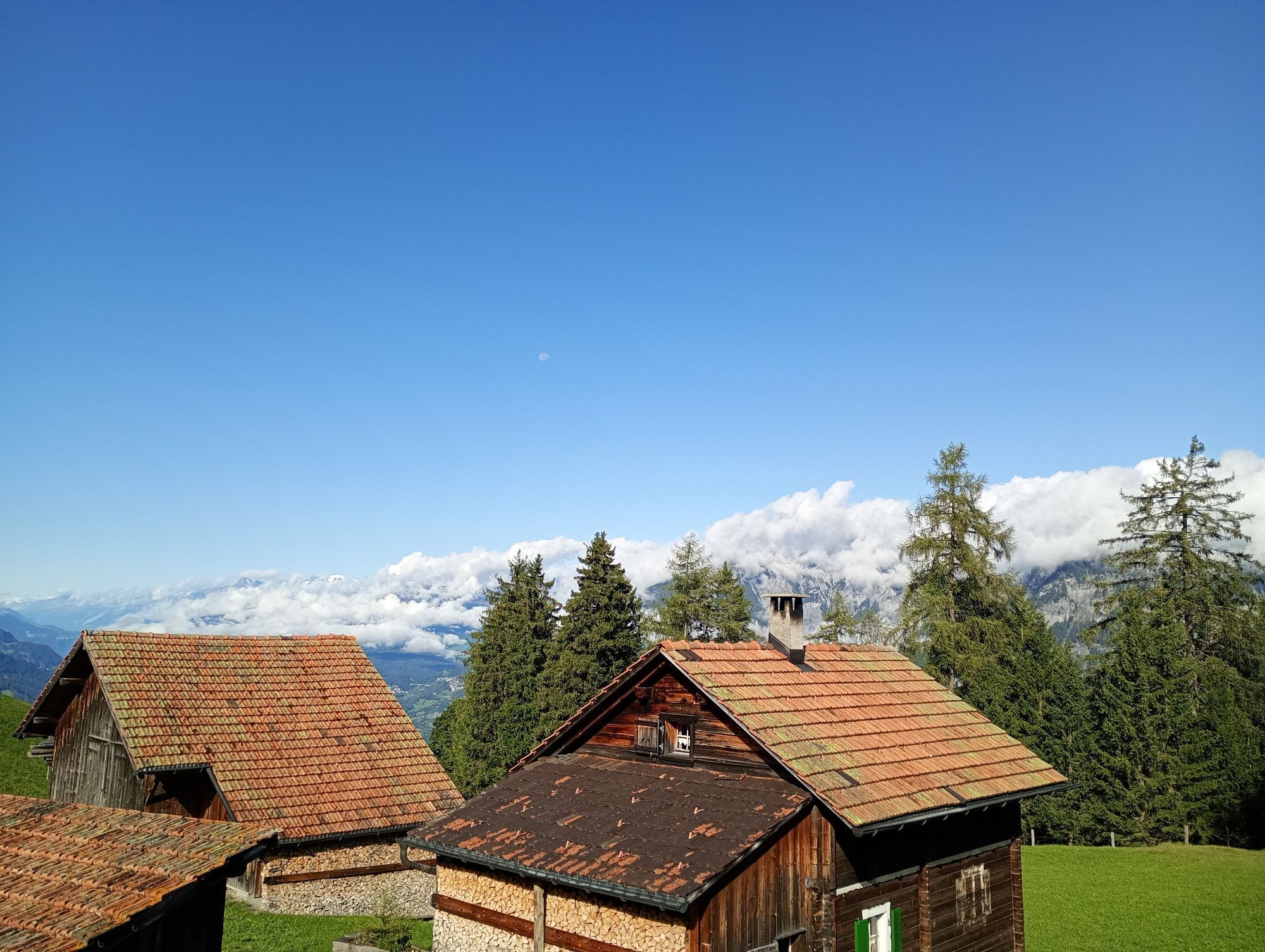
This challenging round tour starts at the northern side of the Chur railway station. Through the villages of Felsberg and Domat/Ems you reach the golf course in Domat/Ems. That's where the ascent starts. The mountain road is quite steep and it will take you some power to reach the mountain village of Feldis at 1'500 m. This is the perfect place to recharge your batteries in one of the restaurants.
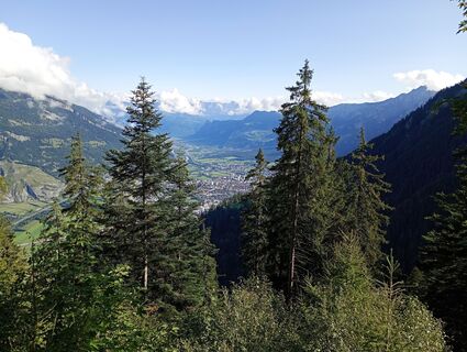
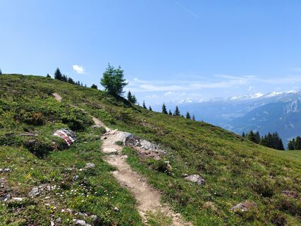
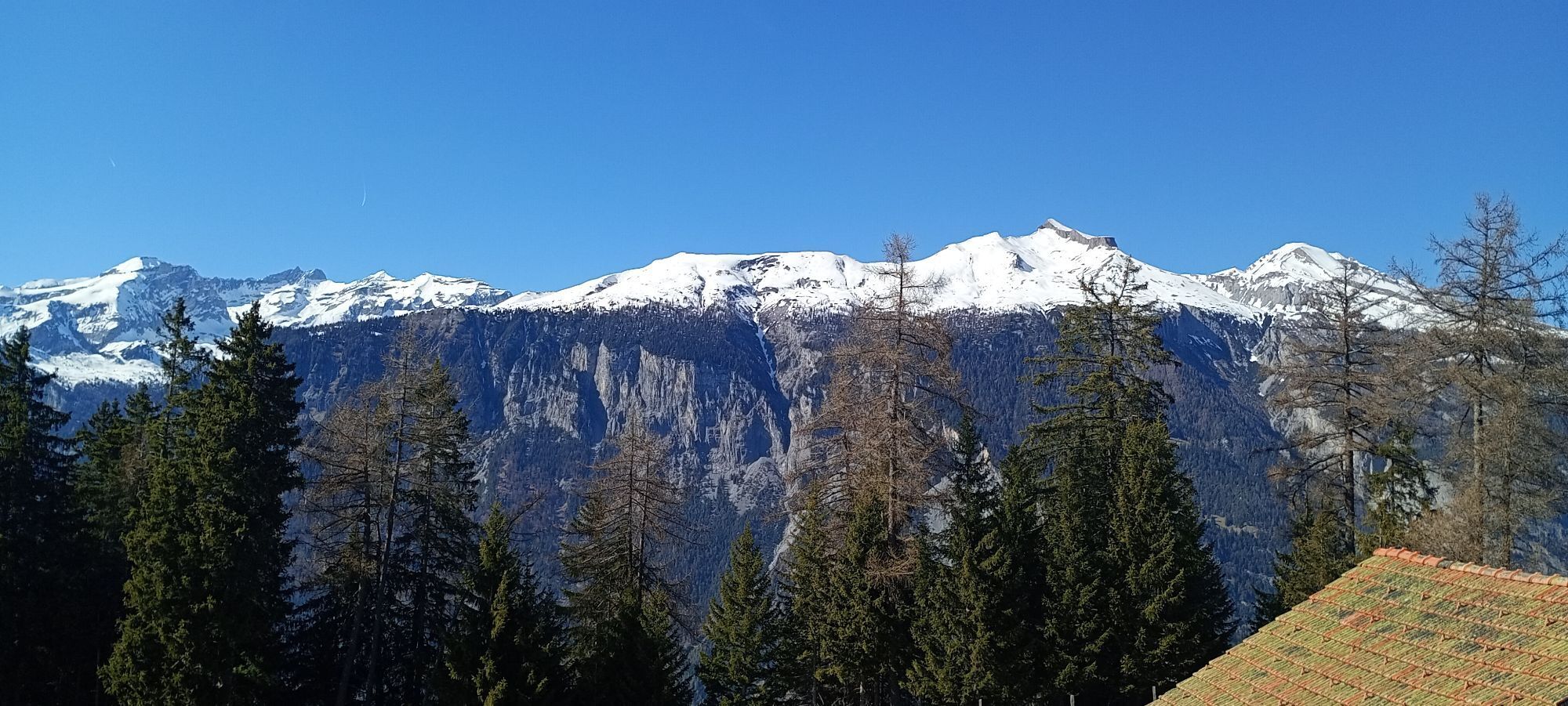
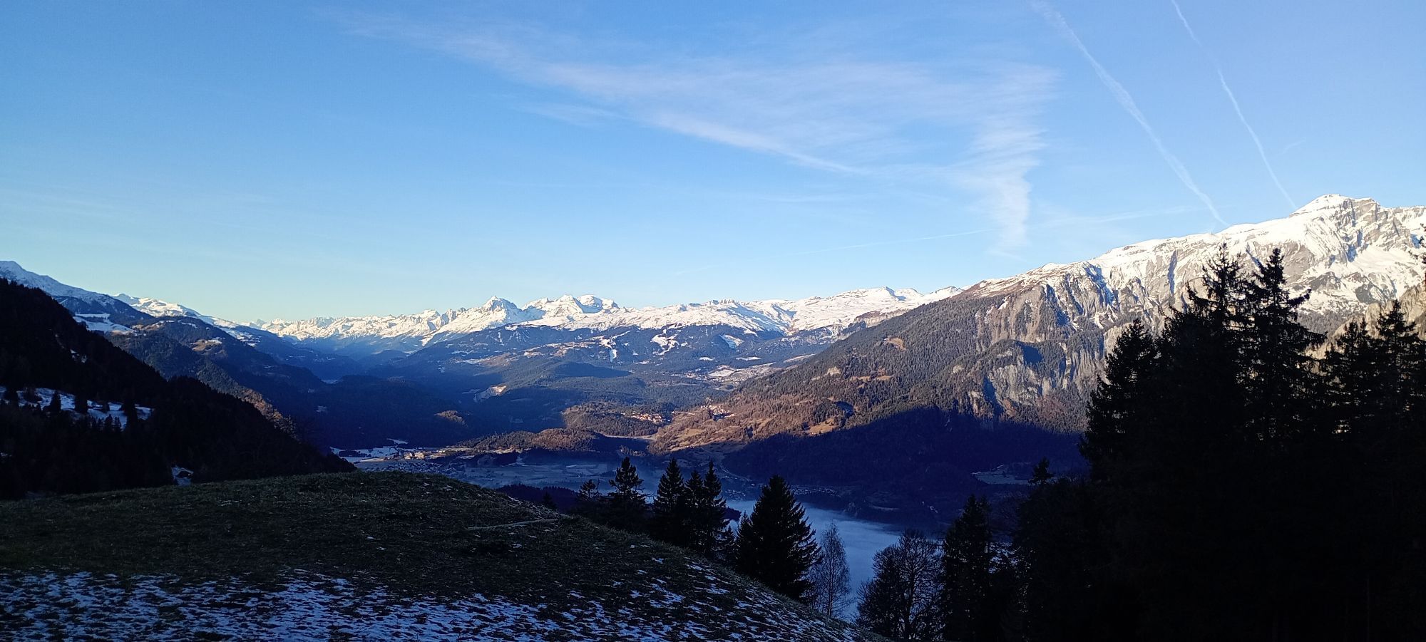
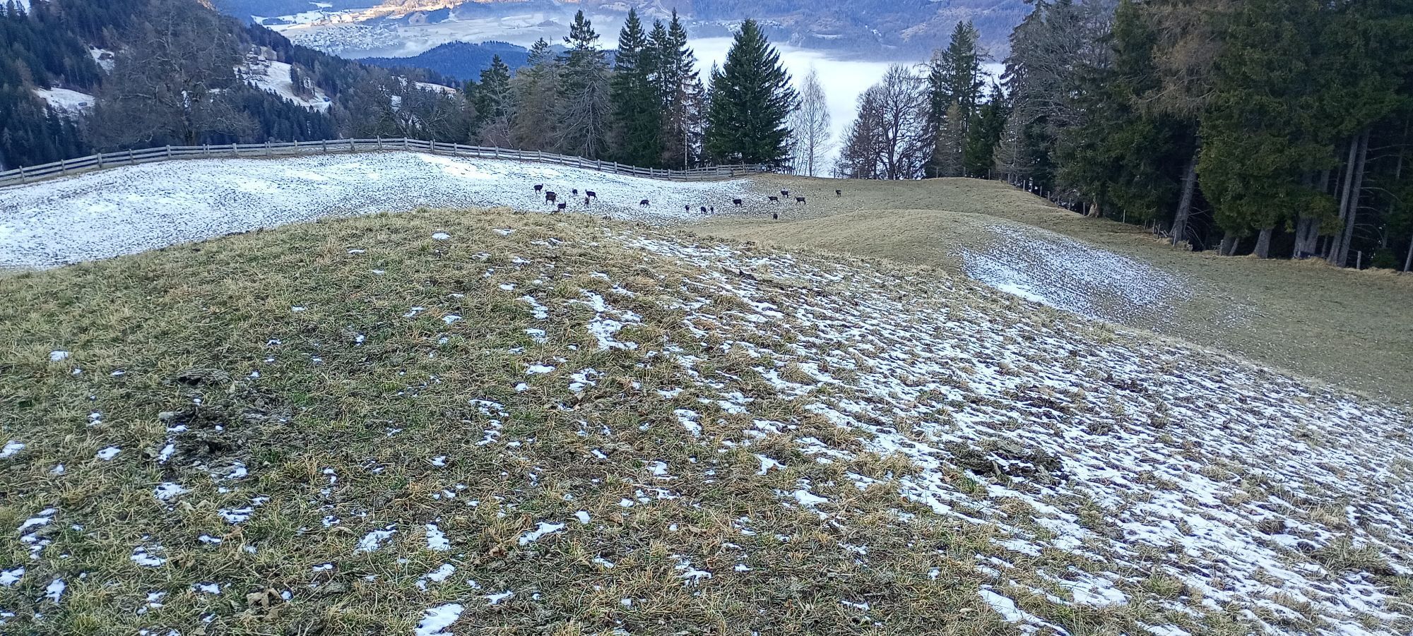
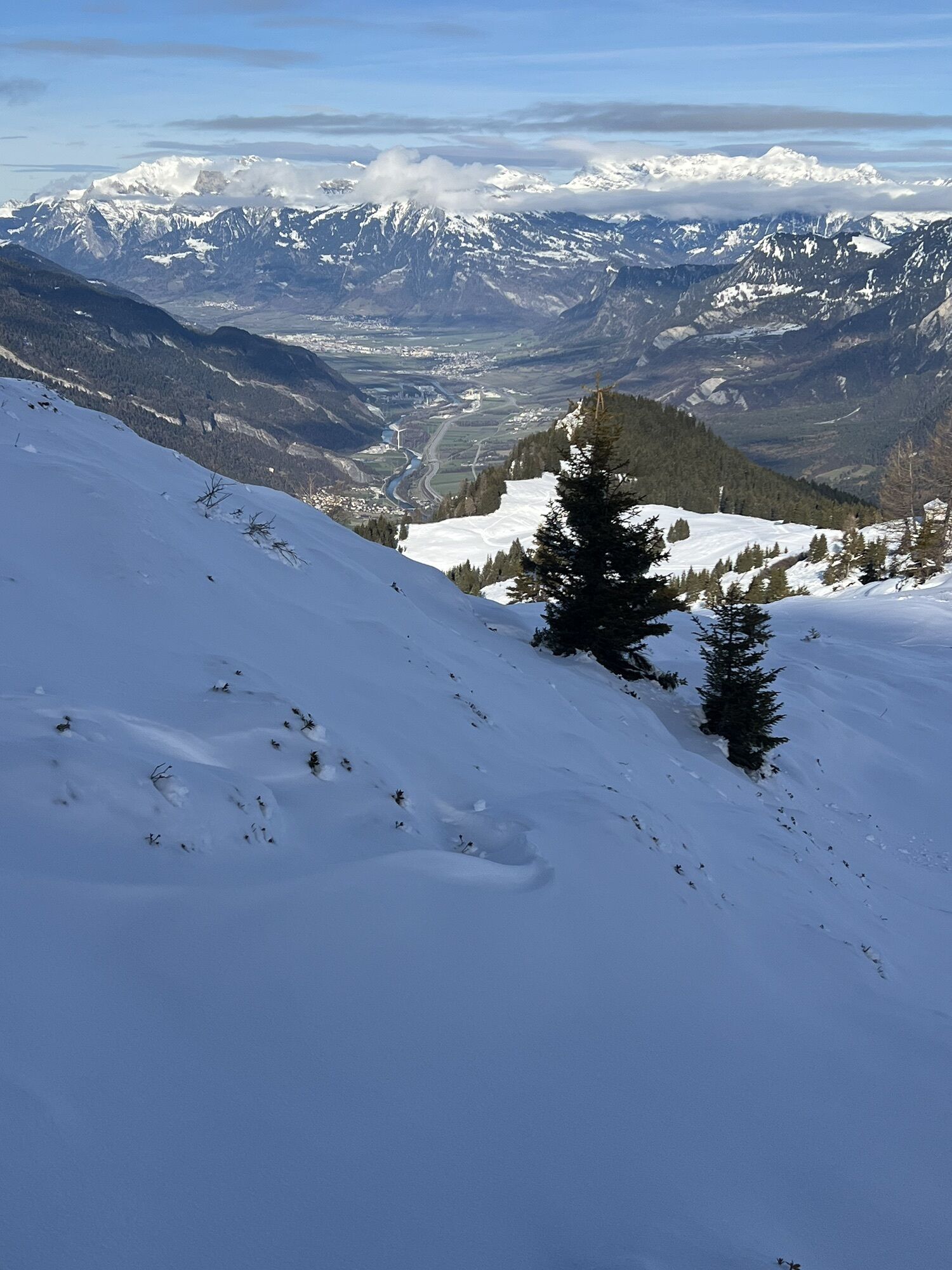
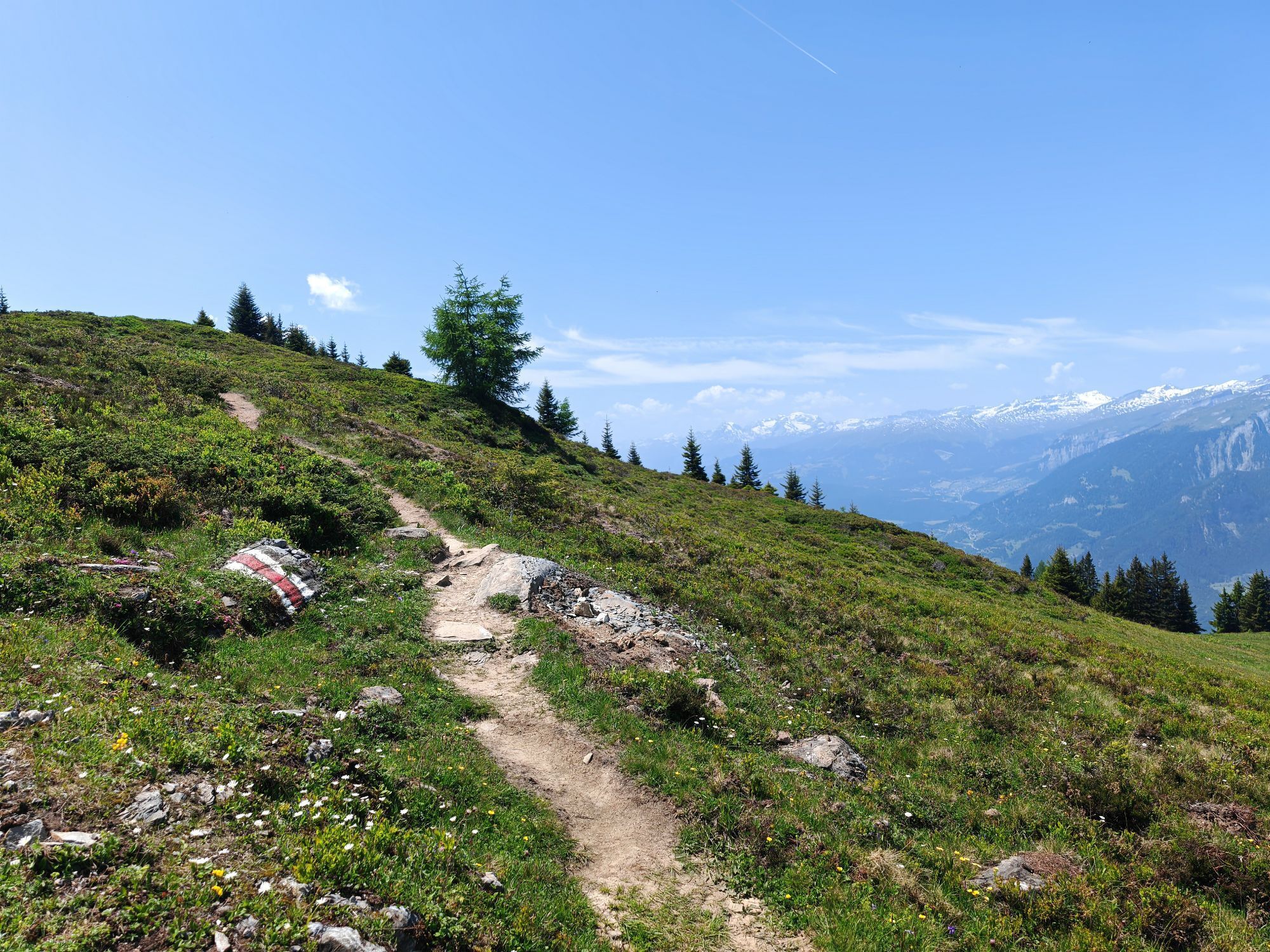
From Feldis, continue on the level street in direction of Scheid. At point 1498 the next as-cent begins. Follow the paved mountain road up to the Alp di Plaun on 1953 m. At this point you can decide, whether you want to continue on the «Lady Patricia Trail» to Brambrüesch, or branch off and ascent to the Dreibündenstein. To continue on the here suggested route, follow the hiking trail to the ski hut Term Bel, turn right there and after 200 meters the trail branches off to the left side (follow the signal «Lady Patricia»). Before you reach the high route, the ascent continues and in the end you have to push your bike for appr. 10-15 minutes. When you have finally reached the height, a very panoramic and quite technical single track lies before you.
In the middle of the high route, you will find a memorial stone, where 1944 a US bomber has crashed into the mountain. The narrow single track traverses below of the Dreibündenstein. After that part, you come to enjoy the flow on the descent to Spundis. There, the trail branches off to the left and runs fluently at first, later more technical, to the Alp Juchs. From there, the trail continues demanding and challenging, before the last part of the descent will take you with a lot of flow back into the Alpine City of Chur.
Beliebte Touren in der Nähe
-
4,5
4-Seen-Wanderung: Caumasee - Crestasee - Felsbachschlucht
mittelWanderung 12,8 km -
4,7
Rheinschlucht Wanderung: Senda Ruinaulta (659)
leichtWanderung 9,39 km -
5,0
Rundwanderung: Caumasee - Rheinschlucht "Swiss Grand Canyon"
mittelWanderung 19,8 km -
Arosa-Schwellisee-Älplisee-Parpaner Rothorn
Wanderung 12,3 km -
5,0
Rundwanderung Rheinschlucht
mittelWanderung 11,4 km -
Crestasee Rundwanderung
leichtWanderung 4,58 km -
Von Cassons über den Flimserstein nach Bargis
schwerWanderung 9,21 km -
5,0
Arosa-Hörnli-Urdenfürrgli-Alp Scharmoin-Lenzerheide
mittelWanderung 15,3 km -
4,7
Arosa-Hörnli-Parpaner Rothorn-Lenzerheide
Wanderung 11,9 km -
5,0
202 Höhenweg Tgantieni
schwerWinterwandern 12,3 km
Wandern & Tracking


Verpasse keine Angebote und Inspirationen für deinen nächsten Urlaub
Deine E-Mail-Adresse wurde in den Verteiler eingetragen.