



Mittenberg round trip

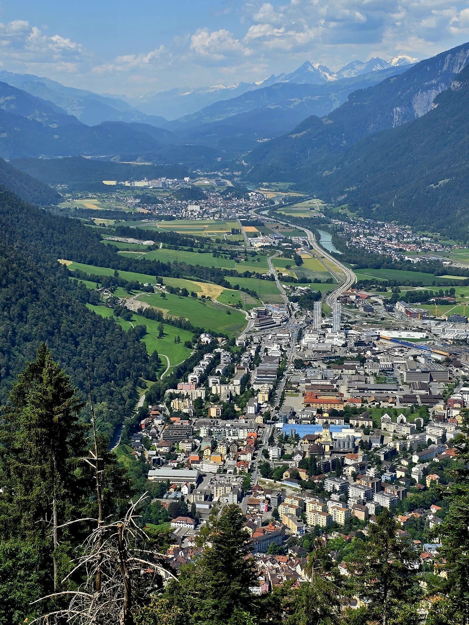
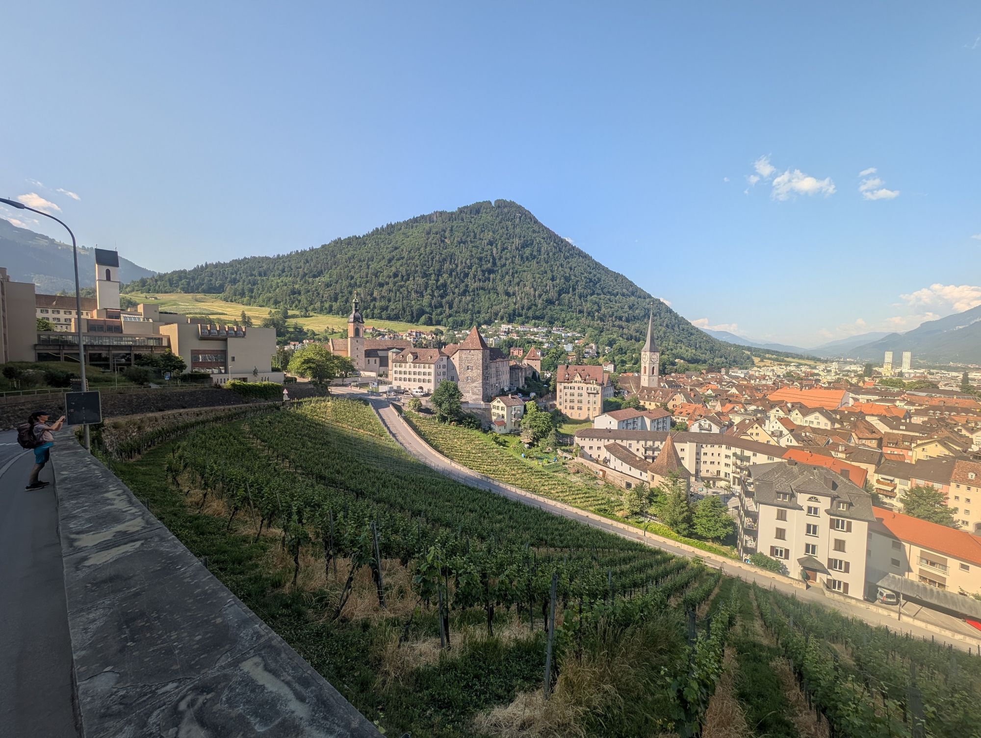
Start at the Chur train station and cycle out of the city in eastern direction. Follow the Loestrasse, pass by the hospital and branch off right to the Fürstenwald, a nearby recreational area of Chur....
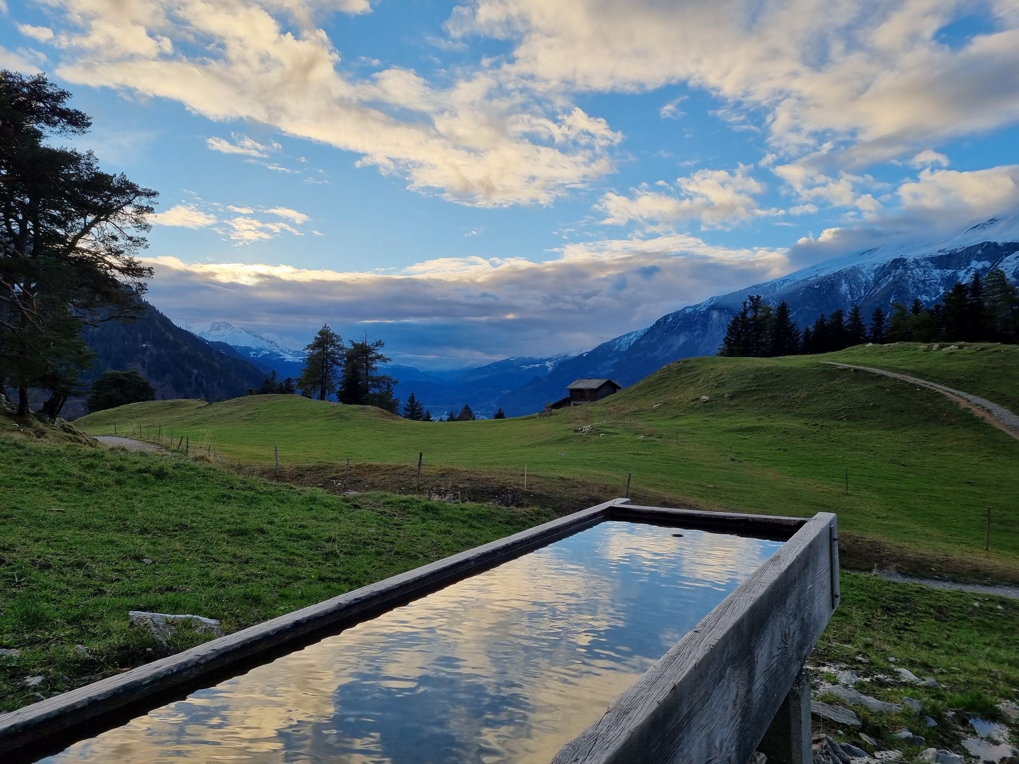
Start at the Chur train station and cycle out of the city in eastern direction. Follow the Loestrasse, pass by the hospital and branch off right to the Fürstenwald, a nearby recreational area of Chur. The Fürstenwald (parking area) is a popular meeting place for outdoor athletes with several biking and running trails. Follow the forest road all the way up to the Mittenberg. In the upper part of the ascent you will find a fireplace with fresh spring water.
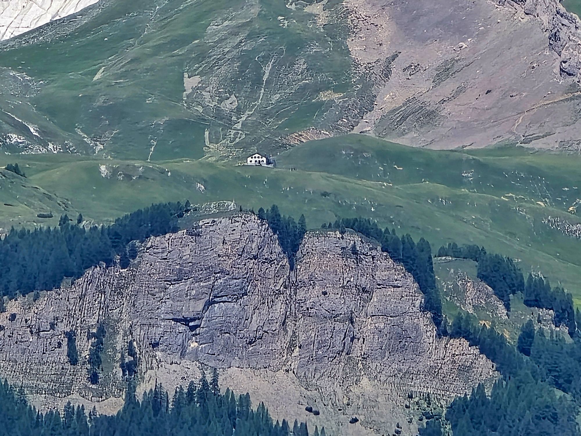
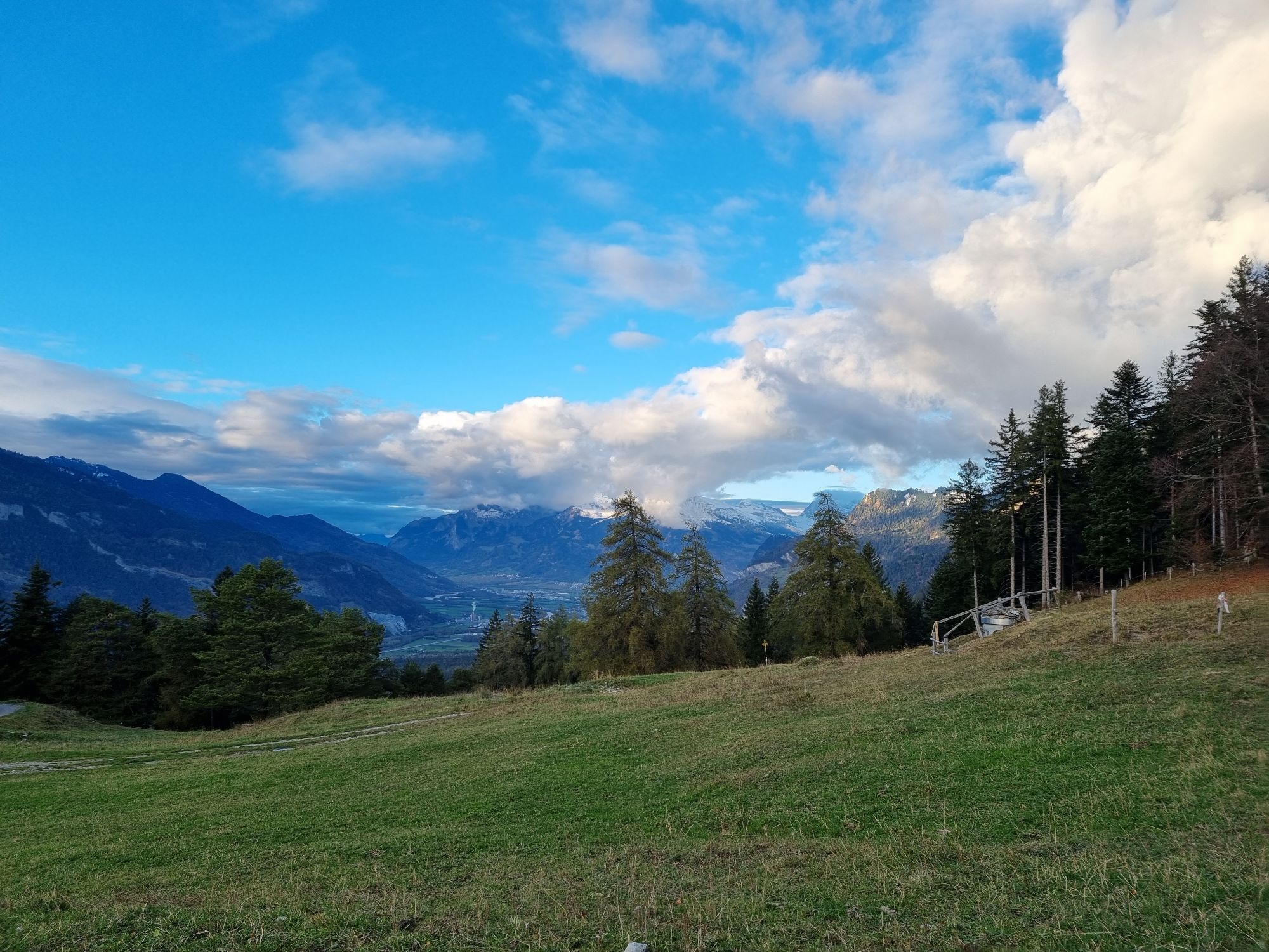
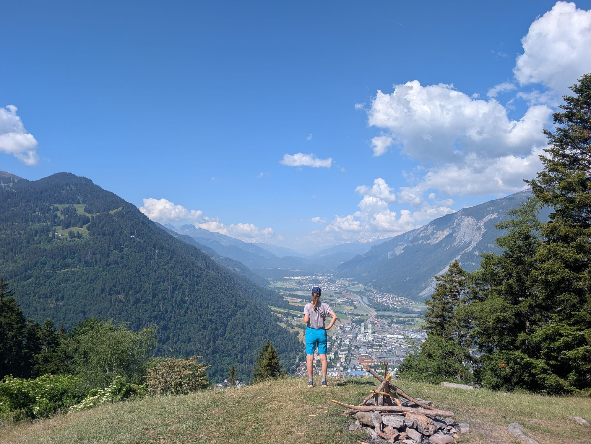
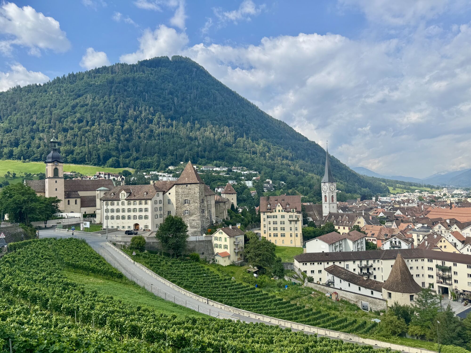
Up at Mittenberg, you have a wonderful panorama view into the Chur Rhine valley, on the opposite situated house mountain Brambrüesch and the mountains around Lenzerheide and the Bündner Oberland.
The descent route follows a smaller forest trail into direction of Vogelboden - Lürlibad - Lärchenboden - Chur city. Of course you can follow the easy route uf the uphill, as well. And if you prefer some technical trails, you will find some interesting options from the MIttenberg back to Chur.


Beliebte Touren in der Nähe
-
4,8
Taminaschlucht-Rundtour
mittelWanderung 14,0 km -
4,6
Pizalun-Rundtour
leichtWanderung 7,18 km -
4,8
Bergwanderung zu den Strudeltöpfen auf der Alp Mora: Bargis-Trin
schwerWanderung 18 km -
Arosa-Schwellisee-Älplisee-Parpaner Rothorn
Wanderung 12,3 km -
4,5
Drachenloch
schwerWanderung 9,72 km -
4,7
Arosa-Hörnli-Parpaner Rothorn-Lenzerheide
Wanderung 11,9 km -
5,0
Alp Sanaspans - Rothorn
schwerWanderung 13,6 km -
5,0
Eichhörnliweg Arosa
leichtThemenweg 1,72 km -
3,0
Von Vättis zur Walsersiedlung St.Martin
mittelWanderung 8,03 km -
5,0
Arosa-Hörnli-Urdenfürrgli-Alp Scharmoin-Lenzerheide
mittelWanderung 15,3 km
Wandern & Tracking


Verpasse keine Angebote und Inspirationen für deinen nächsten Urlaub
Deine E-Mail-Adresse wurde in den Verteiler eingetragen.


