







Dreibündenstein tobogganing (Brambrüesch-Pradaschier-Churwalden)
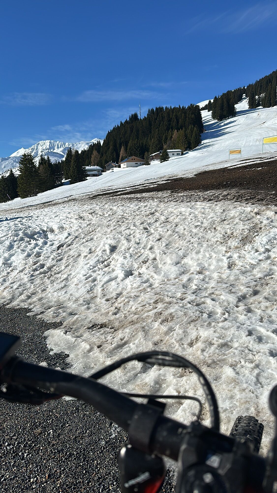
From the train station in Chur you get to the valley station of the aerial cableway either with the city bus no. 1 or by foot in appr. 15 walking minutes. The easy and panoramic hiking tour starts at the...
From the train station in Chur you get to the valley station of the aerial cableway either with the city bus no. 1 or by foot in appr. 15 walking minutes. The easy and panoramic hiking tour starts at the mountain station of the aerial cableway in Brambrüesch. First you walk through a forest to the Malixer Alp. The trail then meanders through relatively flat terrain through a splendid mountain flora and slowly climbs higher to the Galti-Alp. At the junction there, you continue on the upper path, which climbs slightly with a magnificent view far into the valley until you finally reach the highest point of the hike. A pleasant descent follows at the end and soon the destination of the tour is reached with the Pradaschier mountain station, where a cosy mountain restaurant with a large sun terrace invites you to visit. On the way down to Churwalden you can get some thrills with Switzerland's longest toboggan run! Alternatively you can also take the chairlift or walk to Churwalden. From Churwalden the Postbus takes you back to Chur in 20 minutes.

Autobahn-Ausfahrt Chur Süd
Stadteinwärts fahren (Kasernenstrasse)
Talstation und Parkplatz liegen vor dem Stadtzentrum auf der rechten Seite
Mit dem Zug bis zum Bahnhof Chur. Von dort fährt der Stadtbus (Linie 1) in 3 Minuten bis zur Talstation der Bergbahnen (Haltestelle Stadthalle/Brambrüeschbahn).
Gäste der Chur Bergbahnen parkieren auf dem Stadthallen-Parkplatz bei der Talsation gratis. Hierfür muss die Kontrollschild-Nummer bei der Kassa zwingend angeben werden!
Option for a longer hiking tour: Walk to the Dreibuendenstein high plateau and from there follow the hiking trail down to Pradaschier.
Hol dir den Einblick
Immer live vor Ort mit über 9.500 Webcams. In der Touren App von bergfex siehst du als Pro-User jetzt zu vielen Touren die passenden Webcams. So kannst du dir direkt die aktuellen Bedingungen ansehen.
Beliebte Touren in der Nähe
-
4,8
Rheinschlucht Wanderung: Senda Ruinaulta (659)
leichtWanderung 9,39 km -
4,8
Bergwanderung zu den Strudeltöpfen auf der Alp Mora: Bargis-Trin
schwerWanderung 18 km -
4,6
749 Hängebrückenweg Val Meltger
mittelWanderung 8,30 km -
5,0
Caumasee Rundwanderung: Flims - Caumasee - Conn - Flims
leichtWanderung 7,94 km -
5,0
Rundwanderung: Caumasee - Rheinschlucht "Swiss Grand Canyon"
mittelWanderung 19,8 km -
Arosa-Schwellisee-Älplisee-Parpaner Rothorn
Wanderung 12,3 km -
4,7
Arosa-Hörnli-Parpaner Rothorn-Lenzerheide
Wanderung 11,9 km -
Crestasee Rundwanderung
leichtWanderung 4,58 km -
5,0
Arosa-Hörnli-Urdenfürrgli-Alp Scharmoin-Lenzerheide
mittelWanderung 15,3 km -
3,0
Von Vättis zur Walsersiedlung St.Martin
mittelWanderung 8,03 km
Wandern & Tracking


Verpasse keine Angebote und Inspirationen für deinen nächsten Urlaub
Deine E-Mail-Adresse wurde in den Verteiler eingetragen.





