


Hike around the Görlitz Landeskrone
Walk around the Landeskrone discovering an exercise trail as well as a bee nature trail. The tour takes you through the forest and along the fields. You will have a great view of the surroundings. At the...
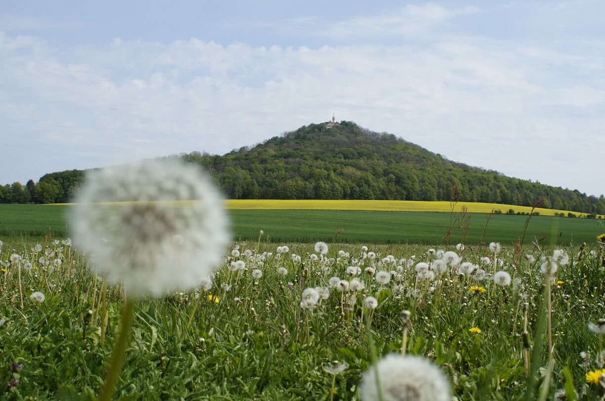
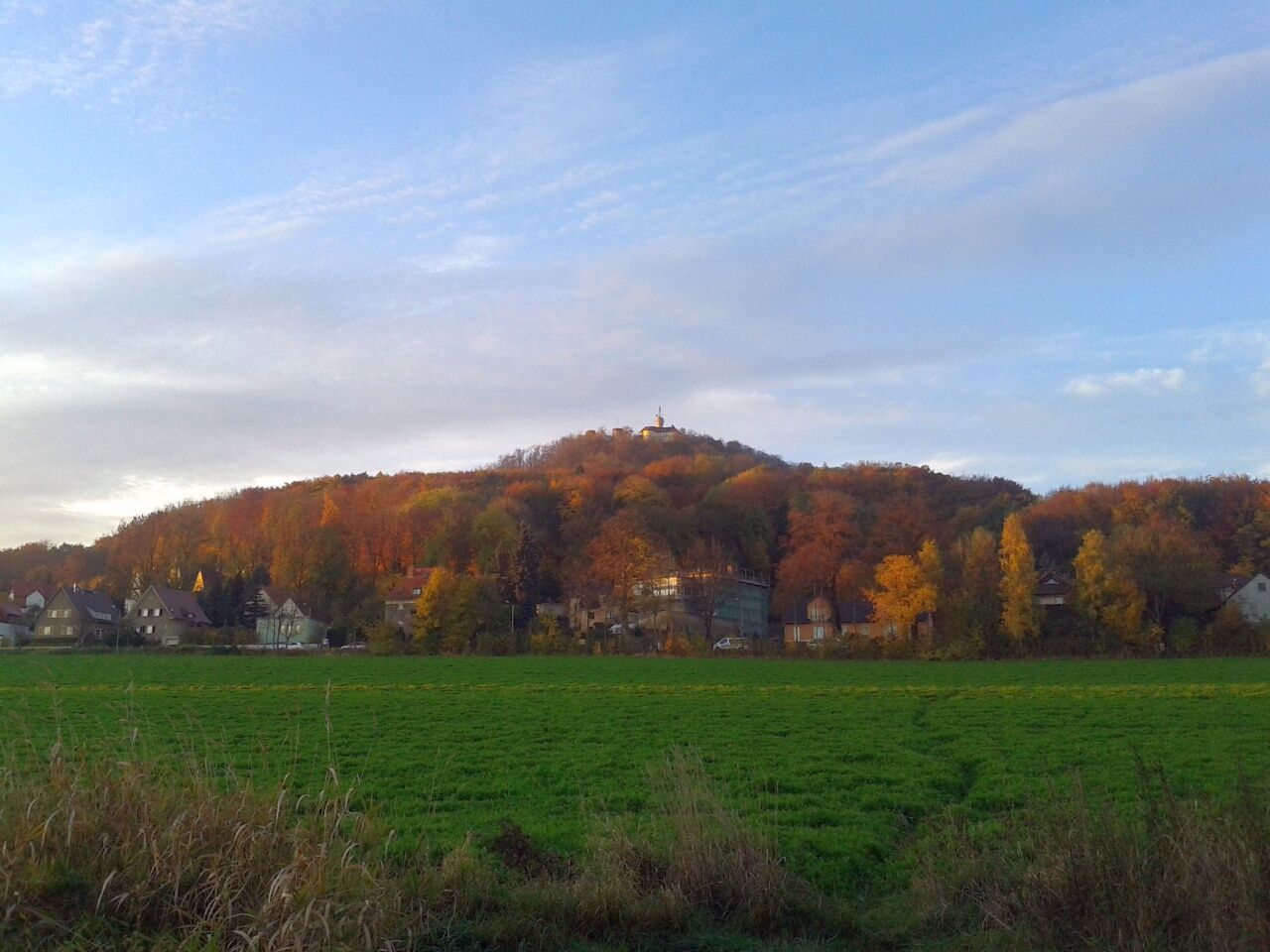
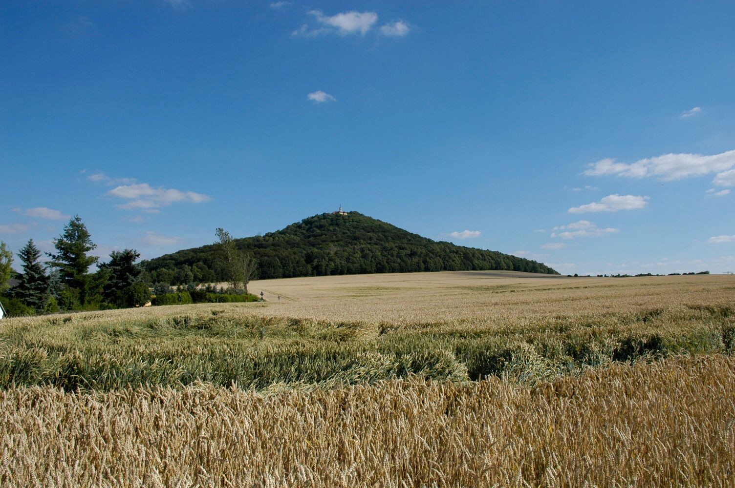
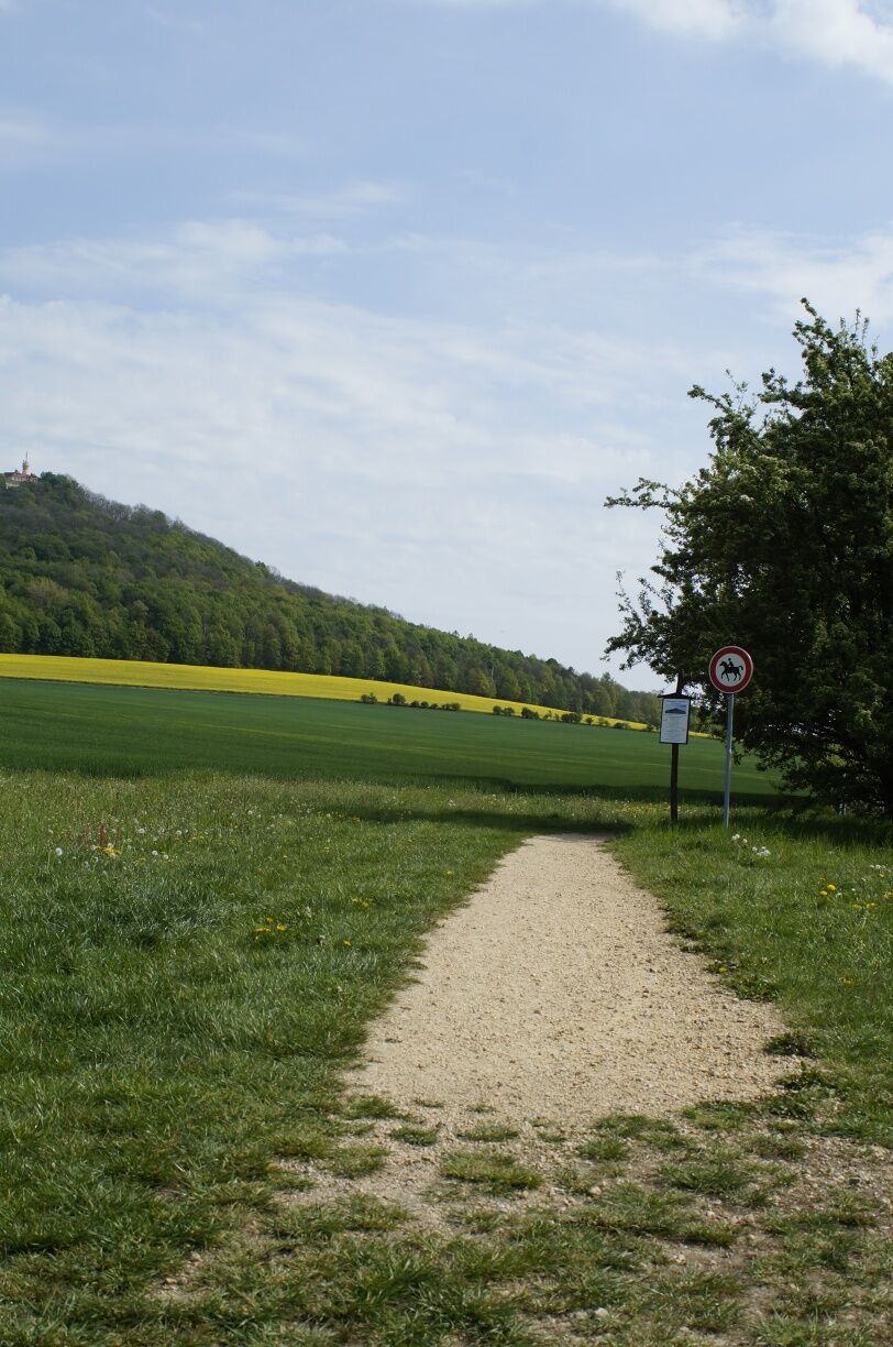
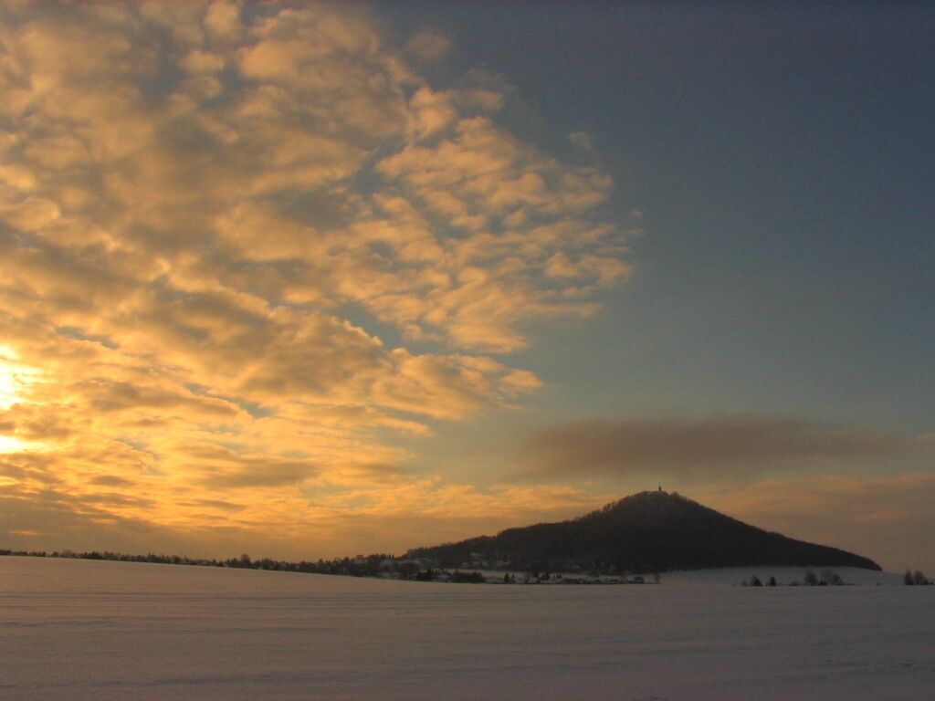
Walk around the Landeskrone discovering an exercise trail as well as a bee nature trail. The tour takes you through the forest and along the fields. You will have a great view of the surroundings. At the edge of the trail is the summit of the Landeskrone (420 metres above sea level) with a great panoramic view and the "Bismarckturm", a monument which was created in 1901 by the architect Wilhelm Kreis.
The Landeskrone was formed from a volcano about 34 million years ago. An avenue of linden trees planted in 1840 begins at the foot of the Landeskrone and leads to the Fahrstraße, 178 steps will take you upwards. The hiking trails are well signposted and at the summit the restaurant "Burghotel Landeskrone" and the lookout tower will invite you to take a break. The "Burghotel Landeskrone" has limited opening hours. For further information: https://www.burghotel-landeskrone.de/


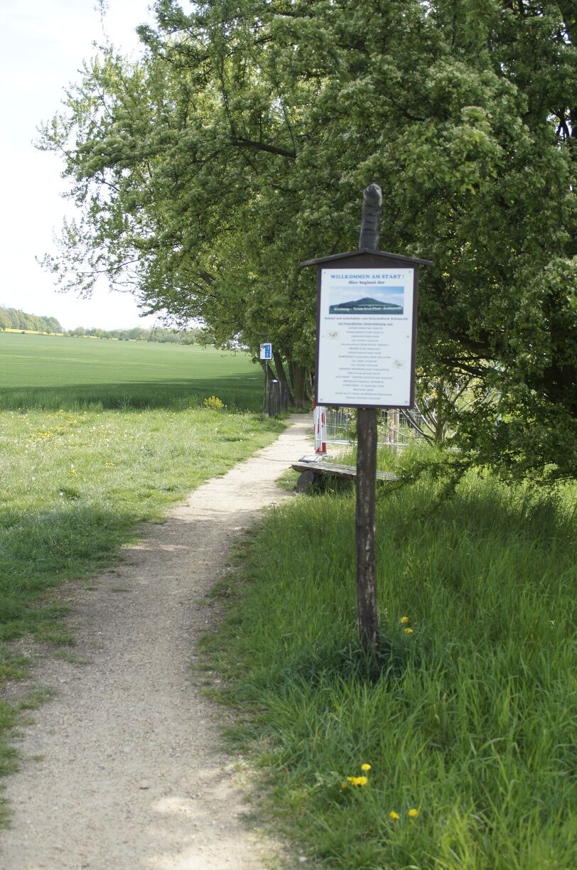
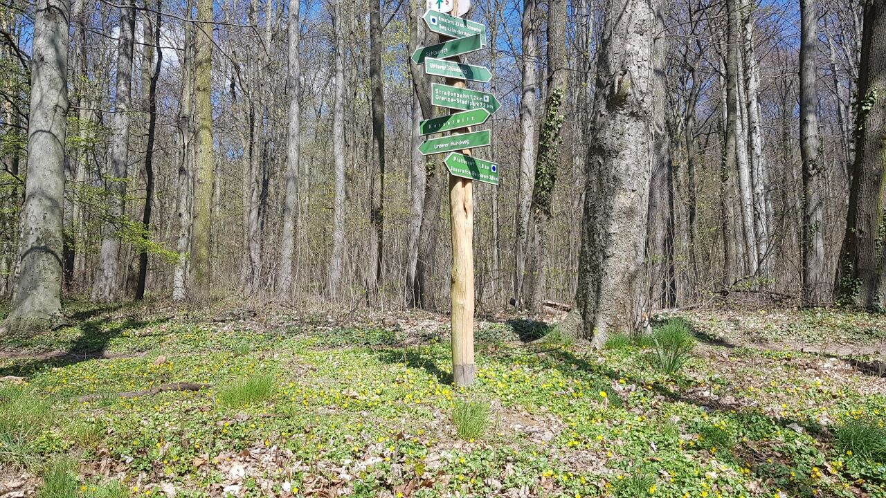
You start the tour at the terminus of tram line 2. Via Aufgangstraße you will reach the Landeskrone. The Pfaffendorfer Weg takes in a southwesterly direction at the foot of the mountain to a crossroad. Keep to the right and continue walking at the foot of the mountain.
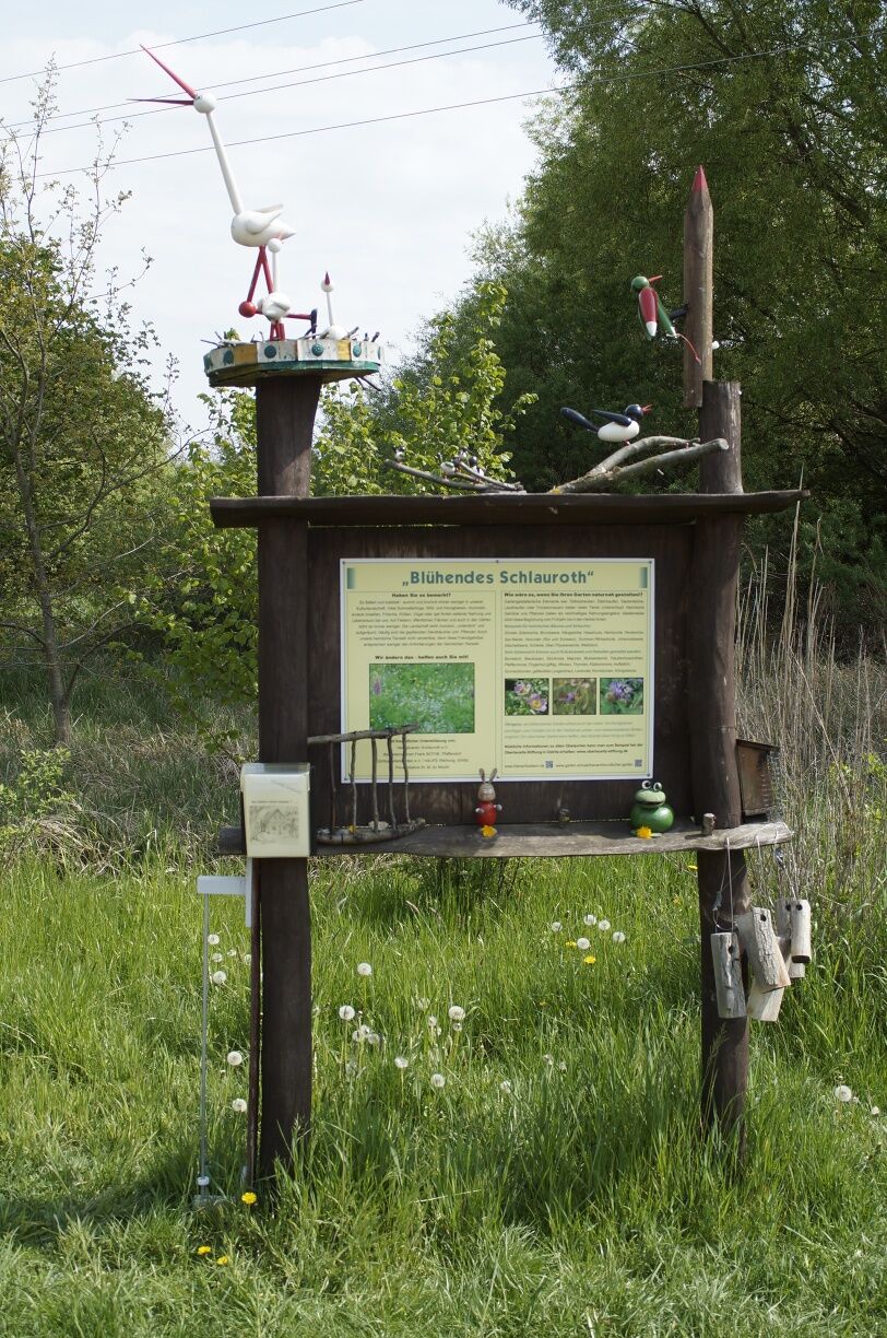
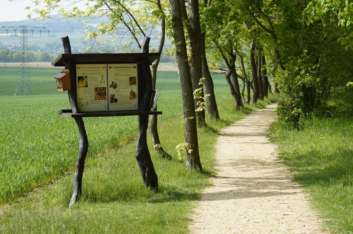
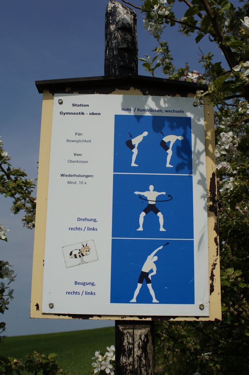
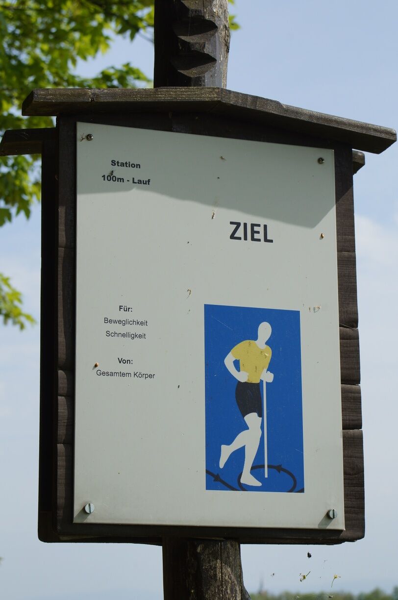
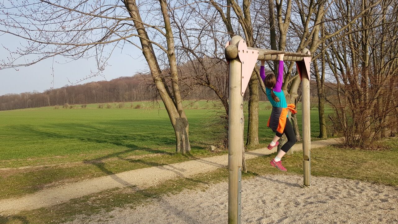
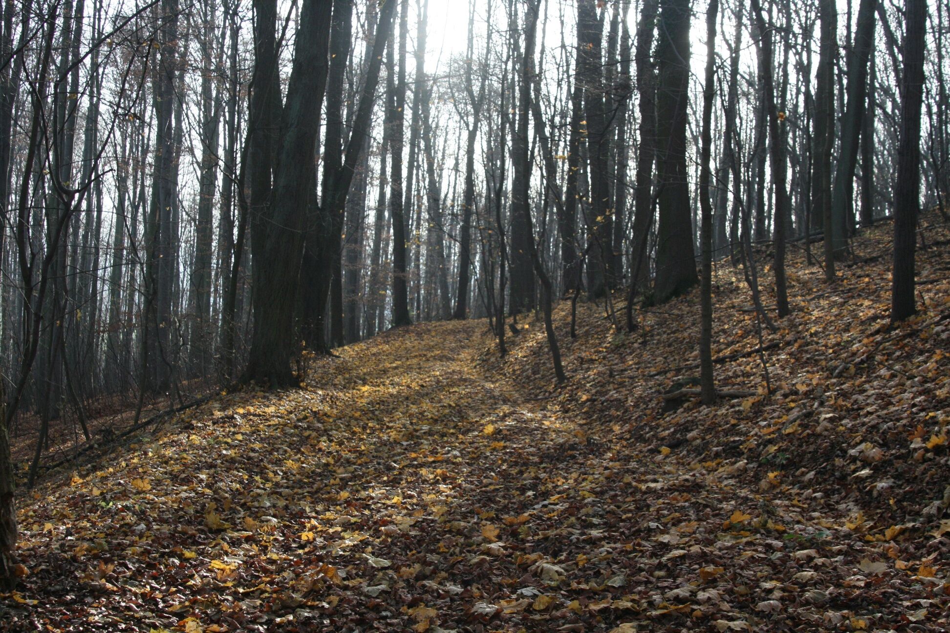
After 250 metres you will see the exercise trail as well as the bee nature trail. Both run along the Kirchsteig. There are many possibilties to do sport and also many information boards concerning the bee nature trail.
At the end of the Kirchsteig you have reached Schlauroth. Those who are exhausted can take the bus 146 back to Görlitz. Otherwise continue walking through the village, in Dorftstraße turn right to Schlaurother Straße and walk back to the Landeskrone. You will find information boards of the bee nature trail here, too.
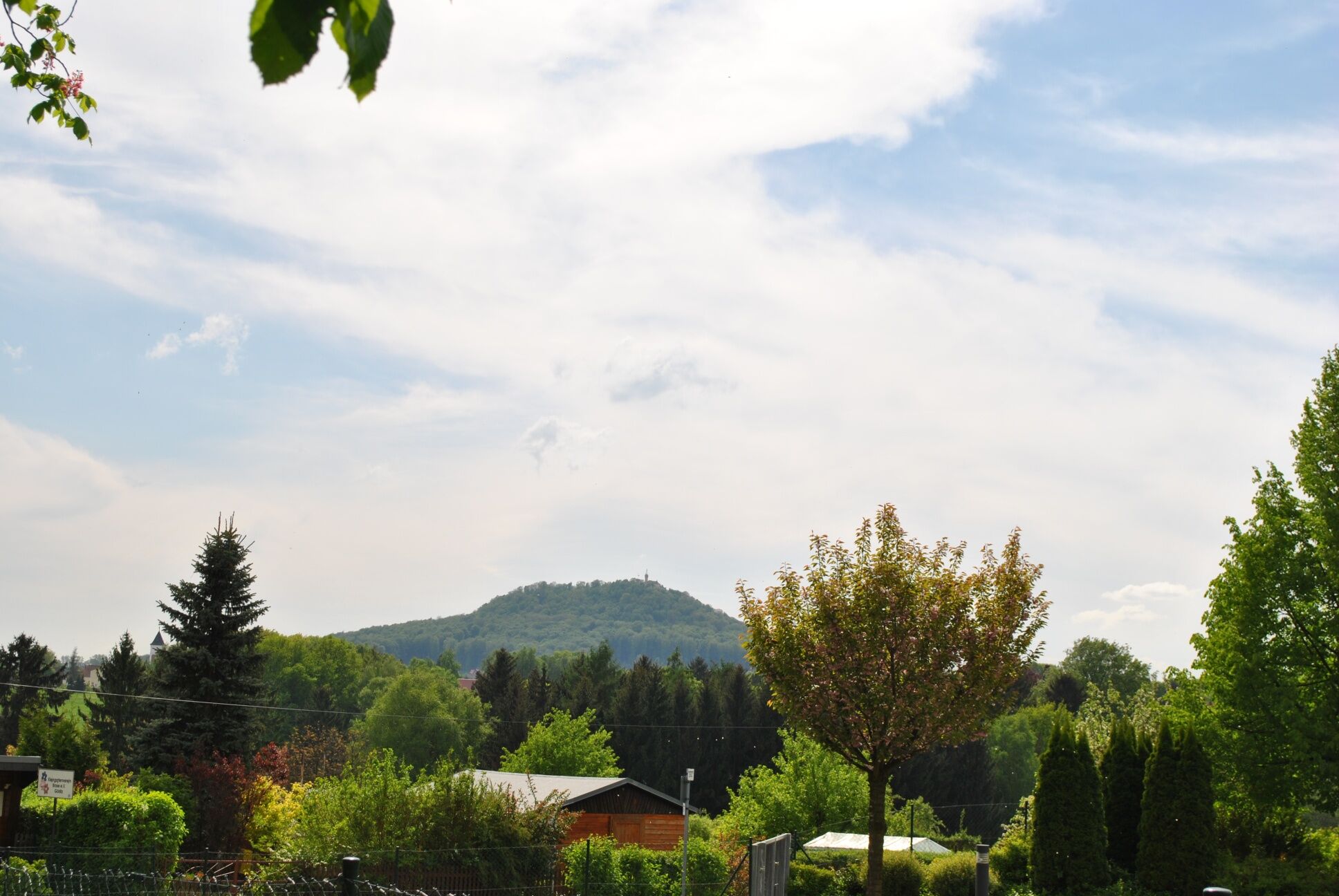
We leave the Schlaurother Straße and turn left to Siedlung. Follow the sandy path which takes you to an asphalted footpath towards the Caroluskrankenhaus. Keep straight on. Here you will have a beautiful view of the Landeskrone. Finally you will reach Landskronsiedlung and Nelkenweg where a bus stop is located. Take bus line A to get back to the city.
Daypack (approx. 20 litres) with rain cover, comfortable and sturdy shoes, weather-resistant and hard-wearing clothing, walking sticks if necessary, sun and rain protection, provisions and drinking water, first aid kit, pocket knife, mobile phone, headlamp if necessary, map material
Driving into the nature reserve with motor vehicles is not allowed. For an exception you need an approval from the nature conservation authority of Görlitz. Please stay on the paths in the nature reserve and observe the information on the nature reserve signs.
In winter there is only limited winter service.
For current information on how to get to Görlitz:
https://www.visit-goerlitz.com/Anreise.html
Take tram line 2 in the direction of Biesnitz to the terminus. The return journey is from the Landskronsiedlung bus stop via bus line A in the direction of Demianiplatz/Hochschule.
For further information: https://www.goerlitztakt.de/de/
Parking is possible in Biesnitz (at the terminus of tram line 2), in Christian-Heuck-Straße and in Schlauroth.
Beliebte Touren in der Nähe
- 4,3
Königshainer Berge
leichtWanderung 4,48 km Walking-tour around Berzdorf Lake
mittelWanderung 17,5 kmA bicycle tour for families at Berzdorf Lake
leichtRadfahren 15,6 kmBicycle tour along the Oder-Neisse cycle path and around Berzdorf Lake
leichtRadfahren 24,2 kmTour 16: Around Berzdorf Lake (Berzdorfer See)
leichtRadfahren 21,9 kmWalking tour to the Landeskrone near Görlitz
mittelWanderung 1,33 kmVia Sacra Radpilgerroute von Görlitz nach Zittau
mittelRadfahren 42,3 kmA tour through the old town of Görlitz
leichtSpazieren 2,04 kmCulinary discovery tour through the European City of Görlitz/Zgorzelec
leichtRadfahren 6,37 kmGreat Mill Tour along the Schöps and Neisse Rivers
schwerRadfahren 57,5 km
Wandern & Tracking


Verpasse keine Angebote und Inspirationen für deinen nächsten Urlaub
Deine E-Mail-Adresse wurde in den Verteiler eingetragen.