






Great Mill Tour along the Schöps and Neisse Rivers

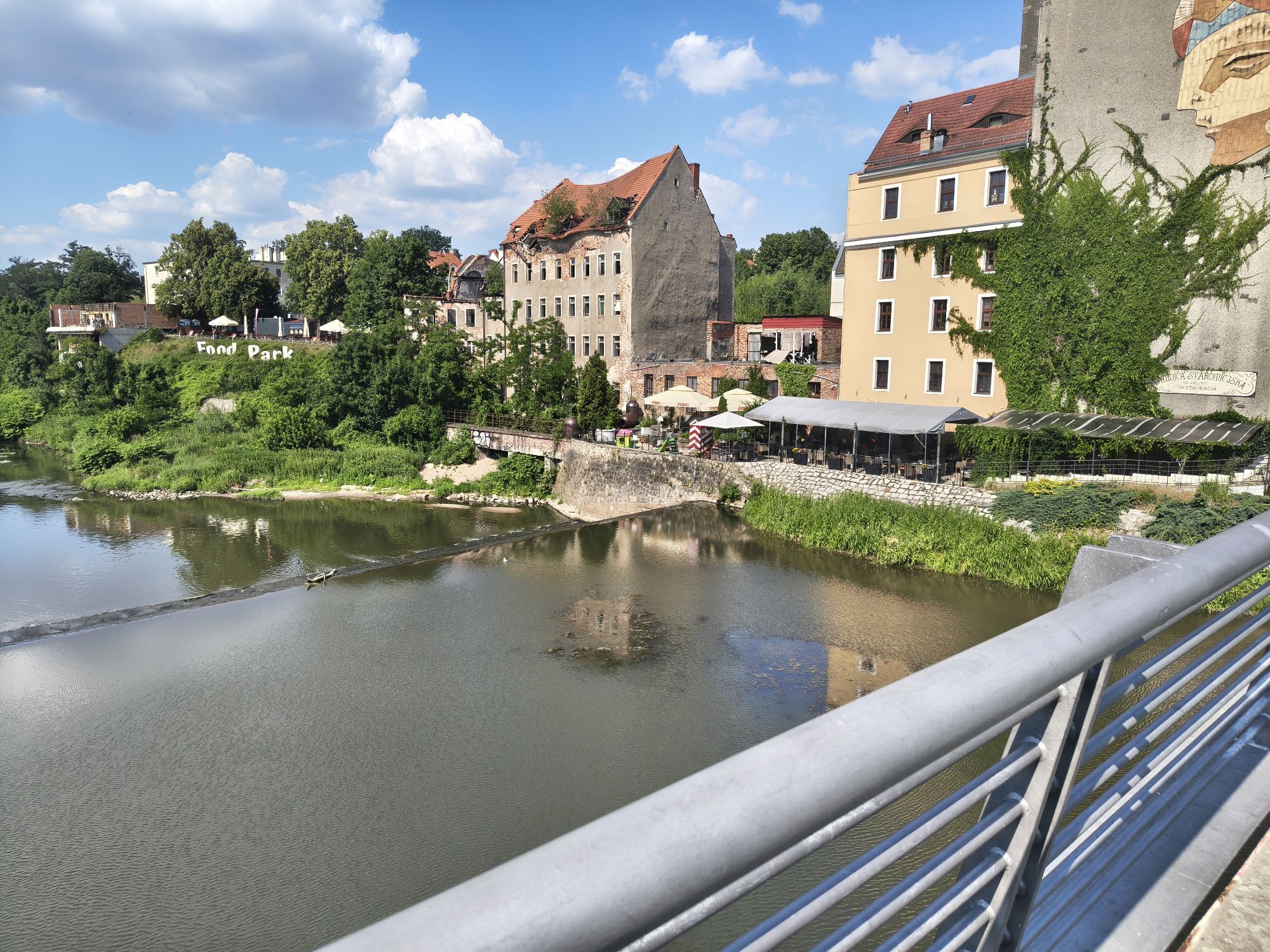
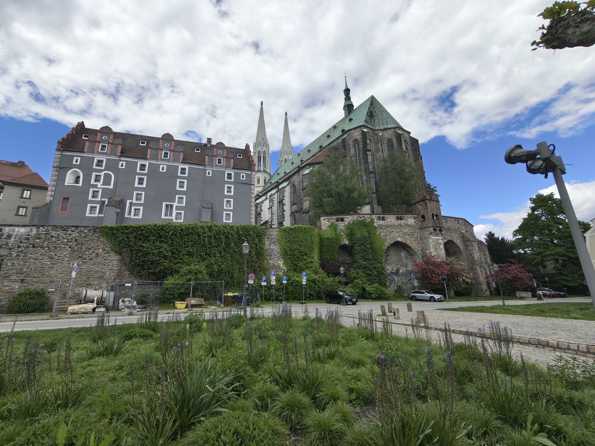
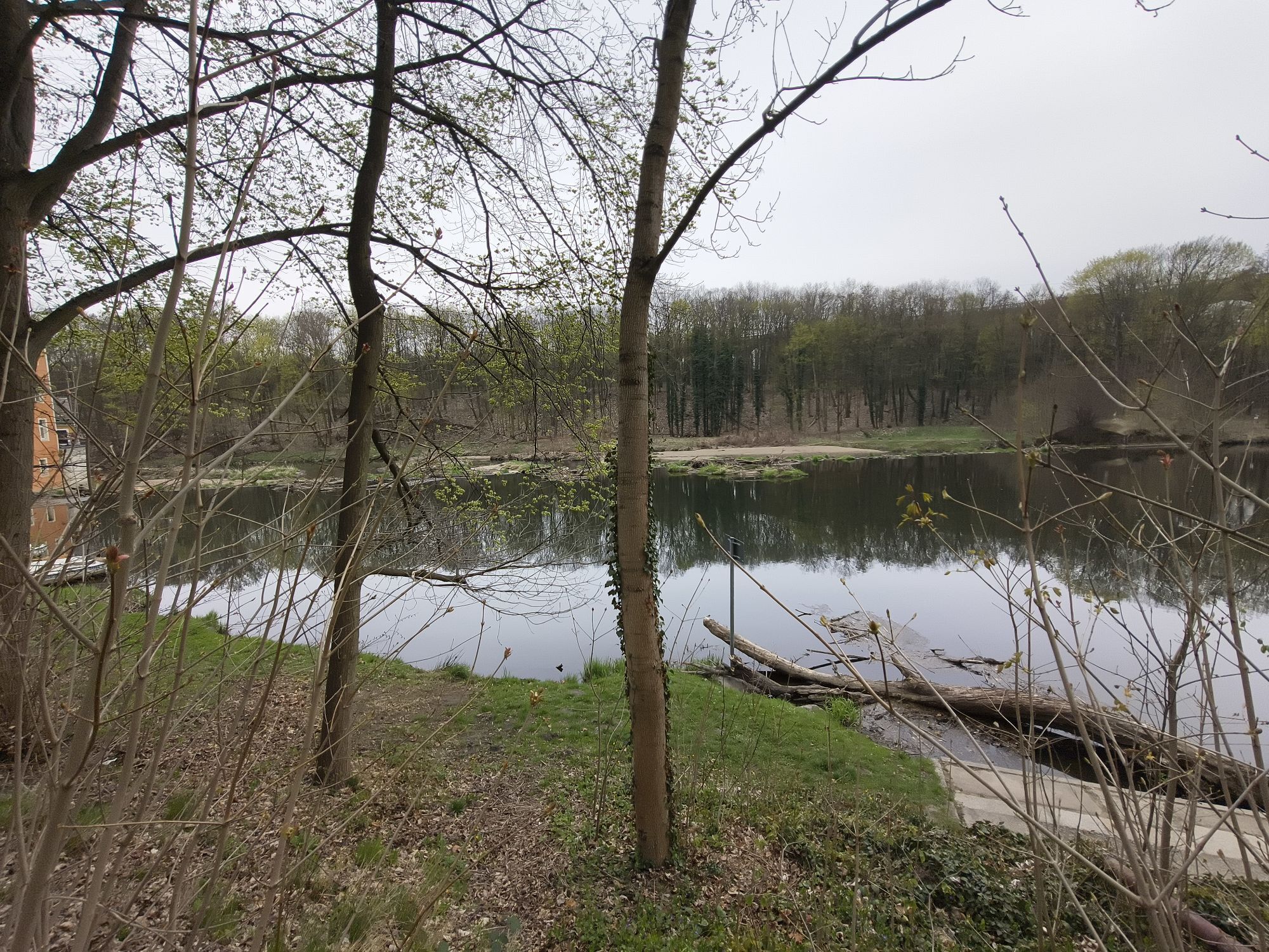
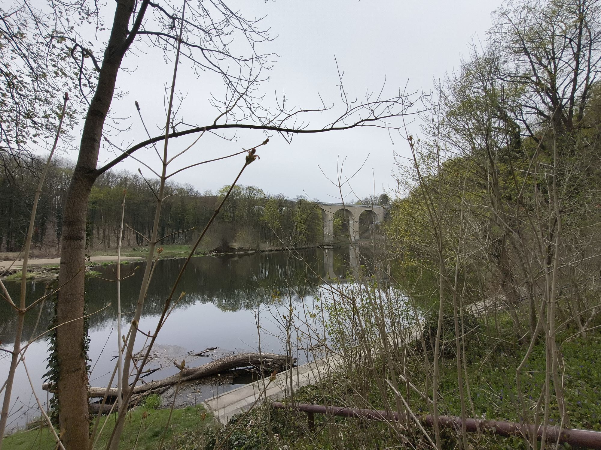
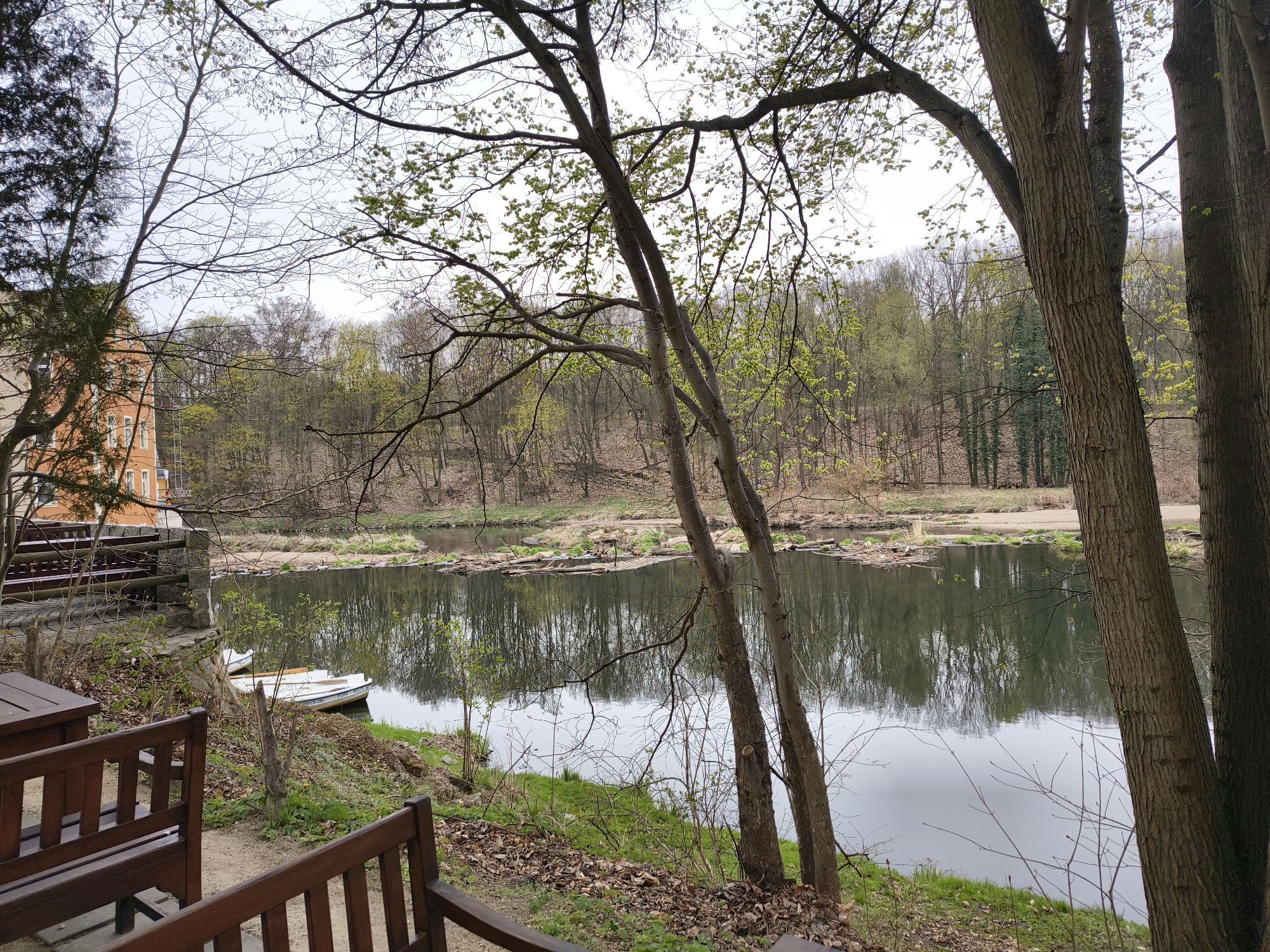
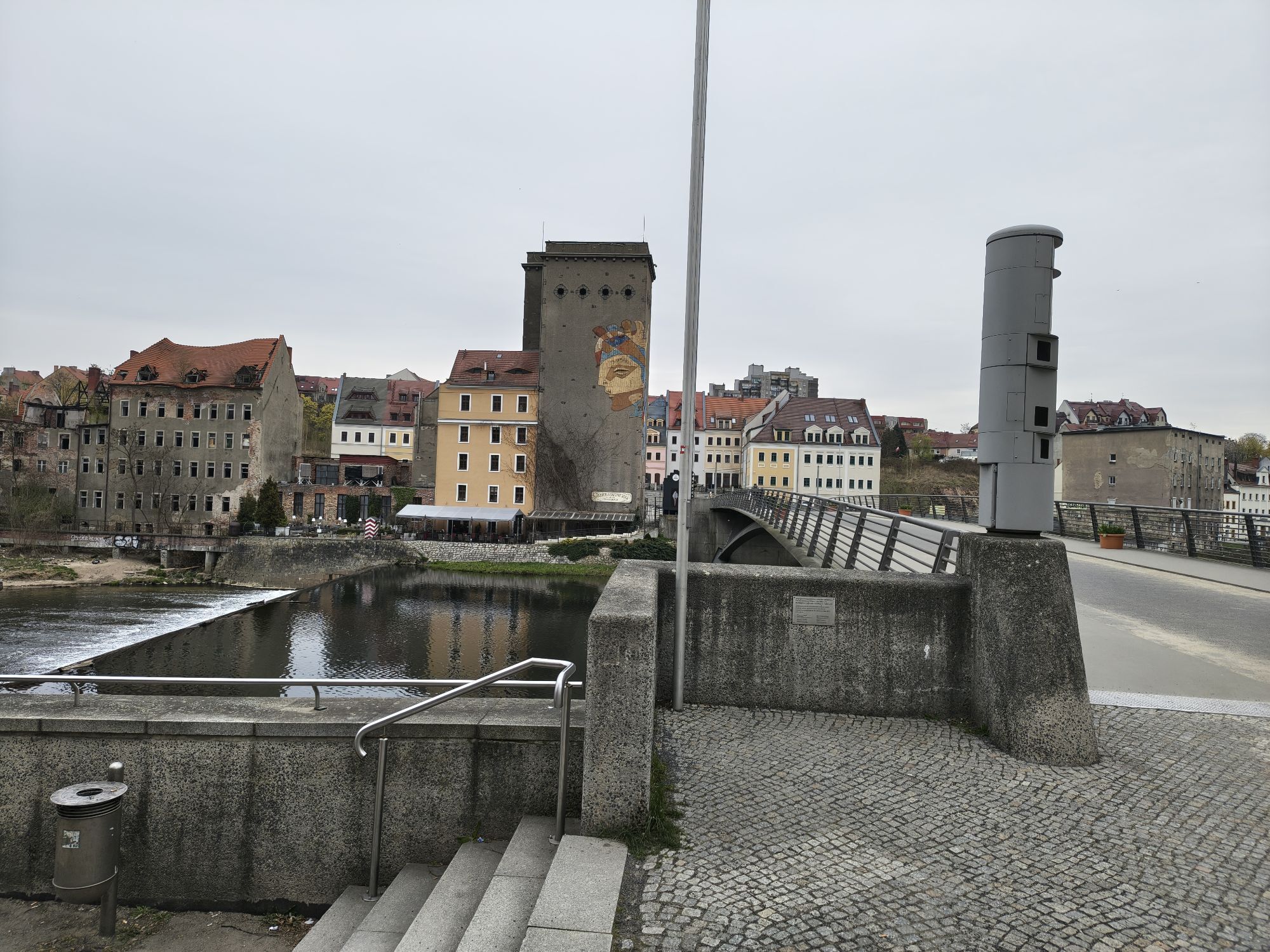
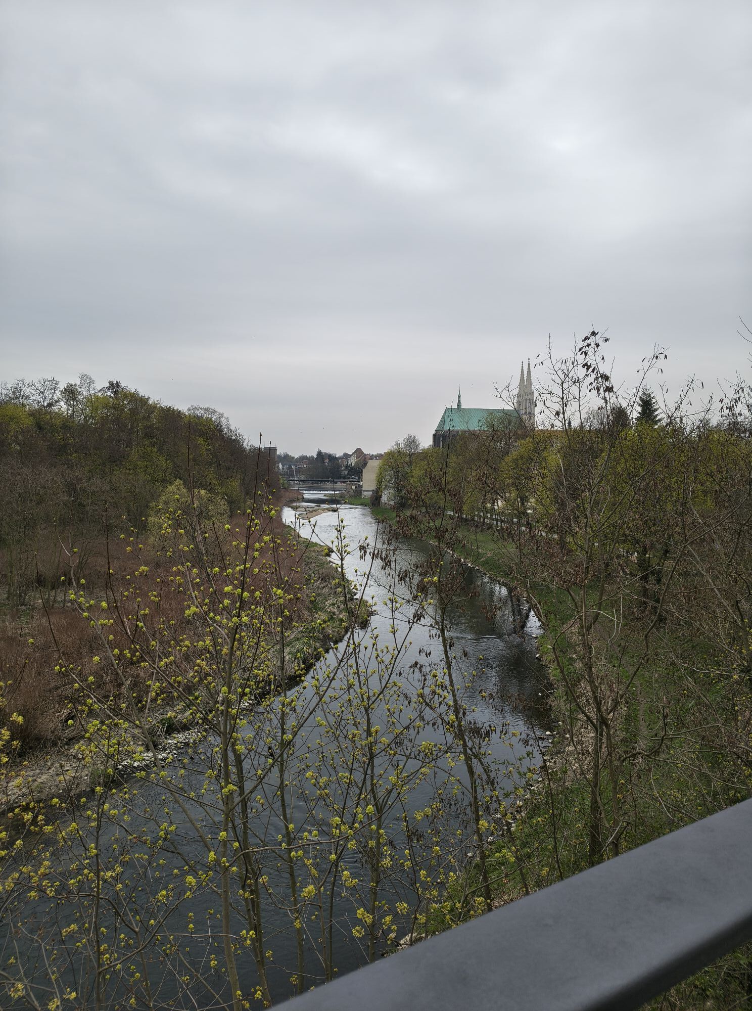
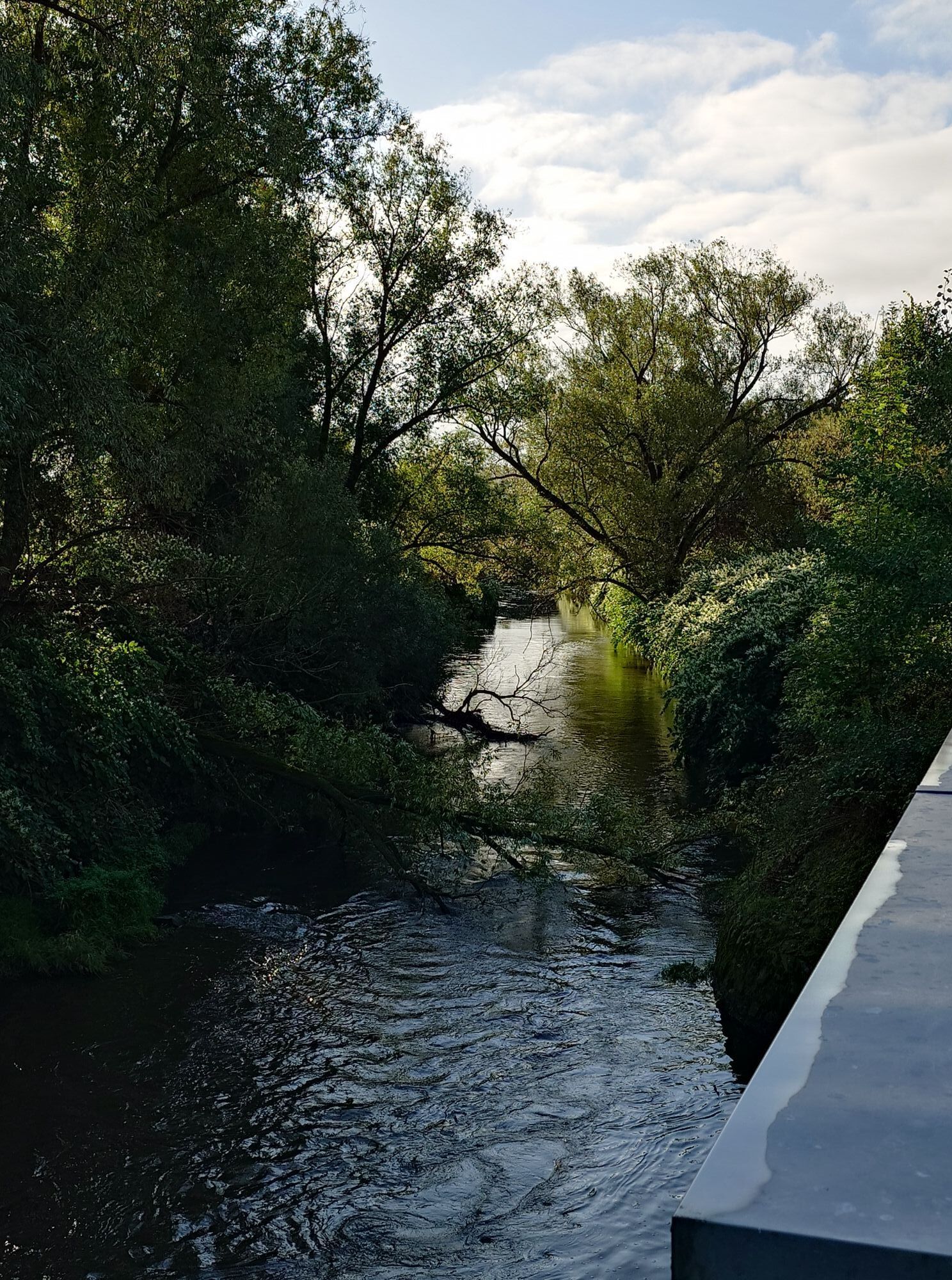
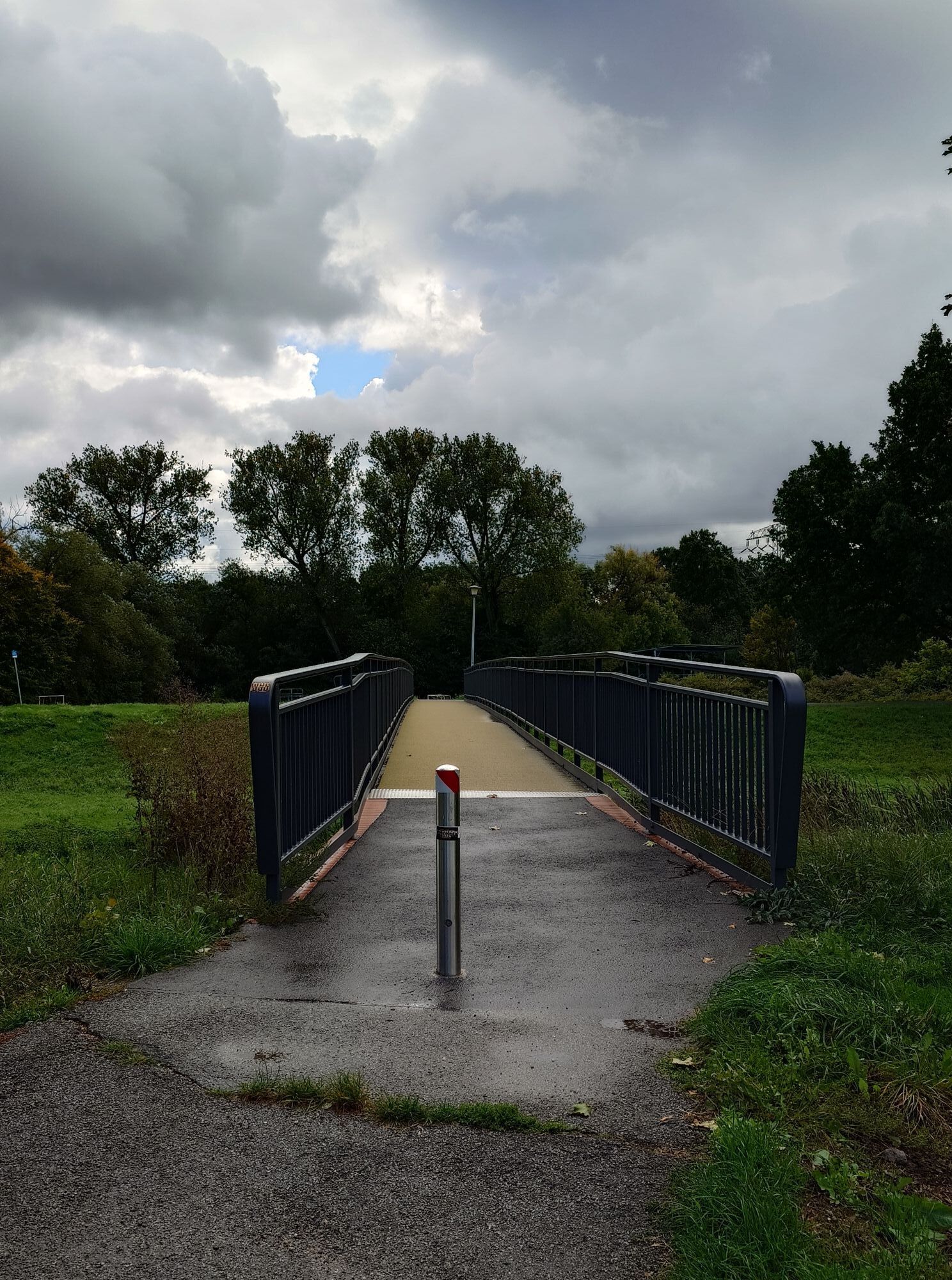
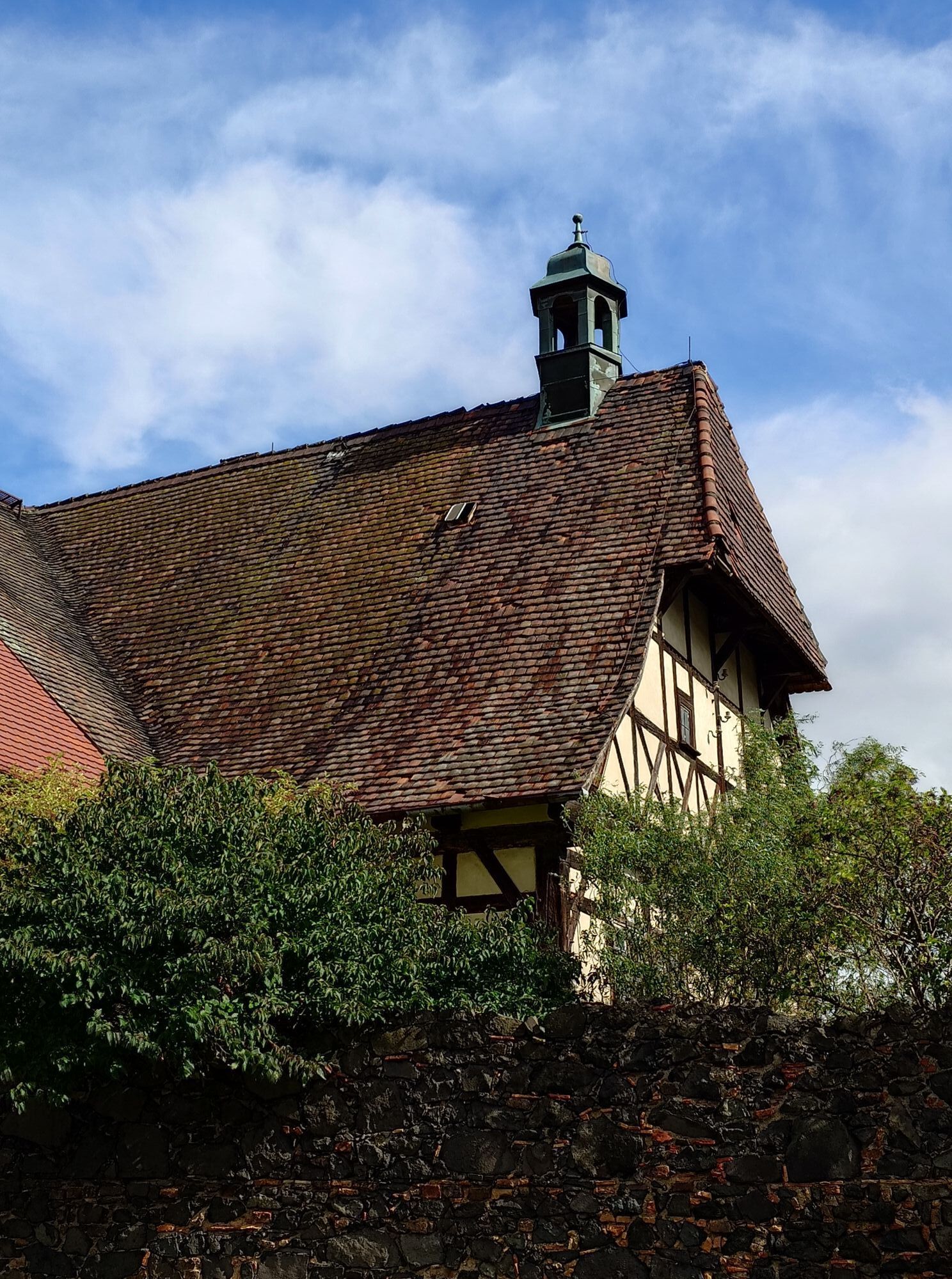
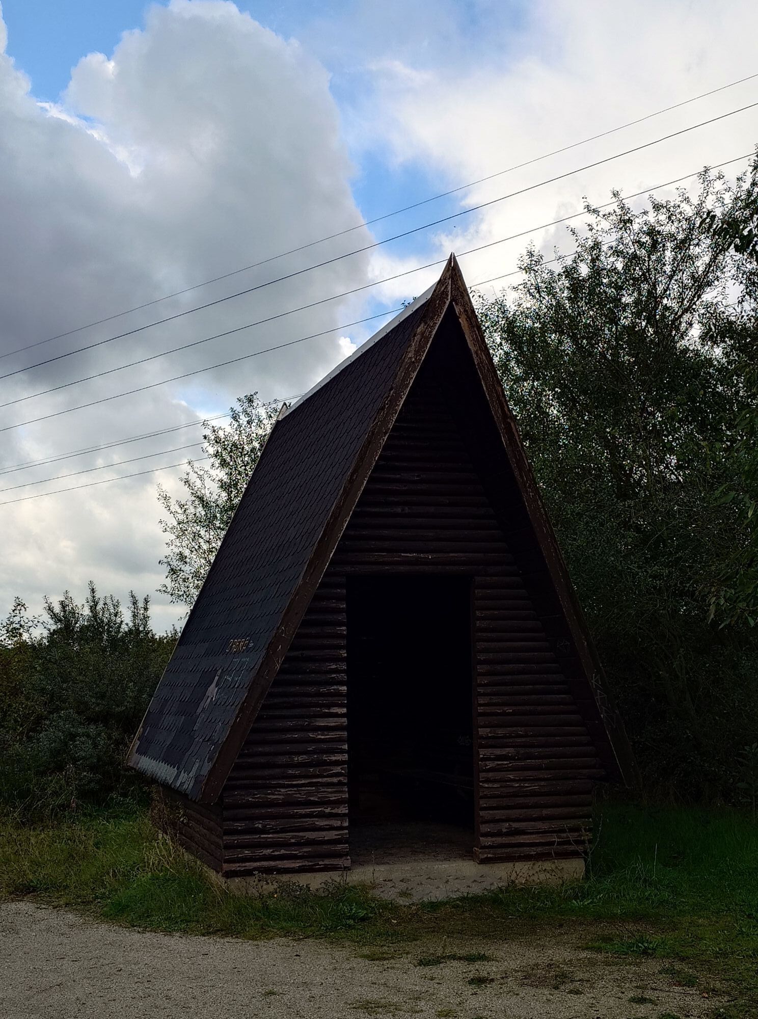
Mills were vital for the supply of flour. They existed in almost every village. Depending on the circumstances, water or wind power was used to operate the mill. It was only with the invention of the electric...
Mills were vital for the supply of flour. They existed in almost every village. Depending on the circumstances, water or wind power was used to operate the mill. It was only with the invention of the electric motor that the old mills became superfluous. Yet, like the railway, they bear witness to a long-gone romanticism of a profession that is still talked about and dreamed of today. Mills were not only distinguished according to their type of drive and construction, but also according to whether they belonged to a castle, monastery or council mill. There was a grinding obligation and a mill peace. Superstition, legends and mythical creatures are associated with mills.
The miller's job was very diverse. The miller repaired the mill himself if necessary, he took over hauling services, mostly with donkeys. There were not only grain mills, but also saw mills, paper mills, grinding mills, bone mills and several others. The great decline of the mills began with the increasing industrialization at the end of the 19th
Detailed information on the mill sites are available at the marked points along the route.
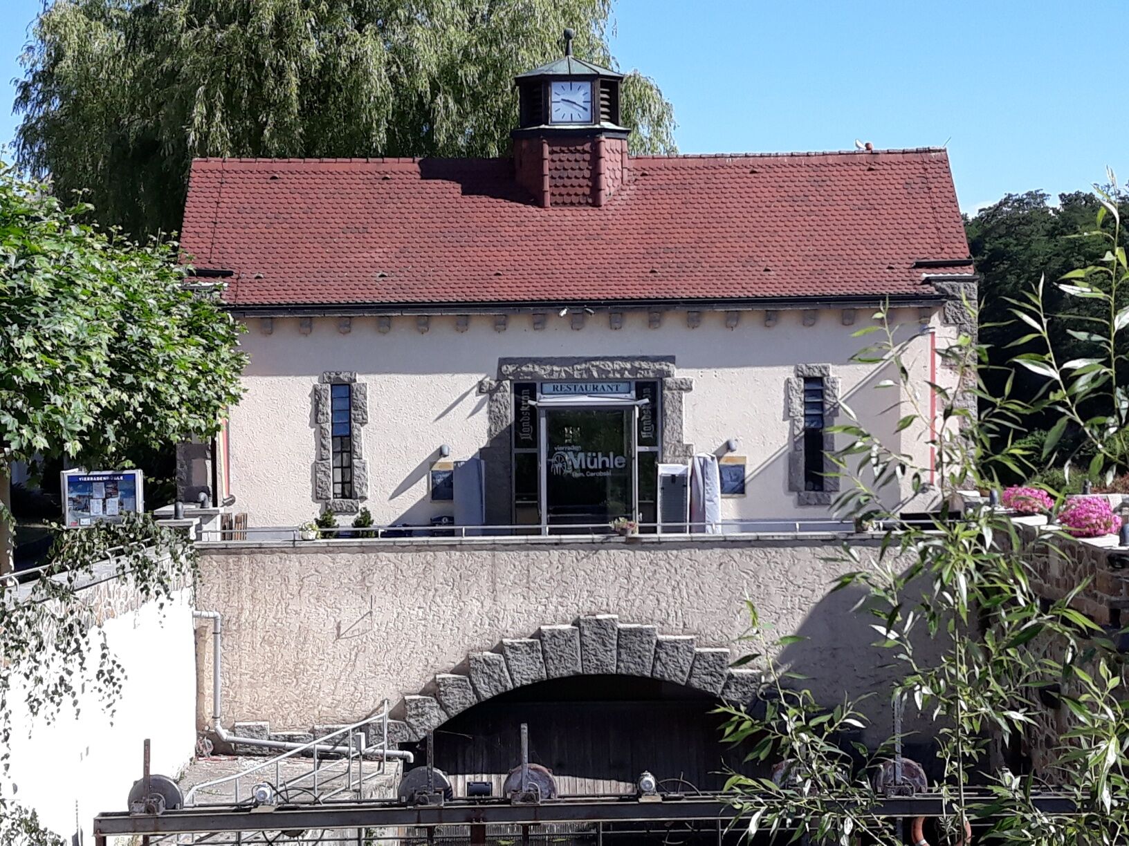
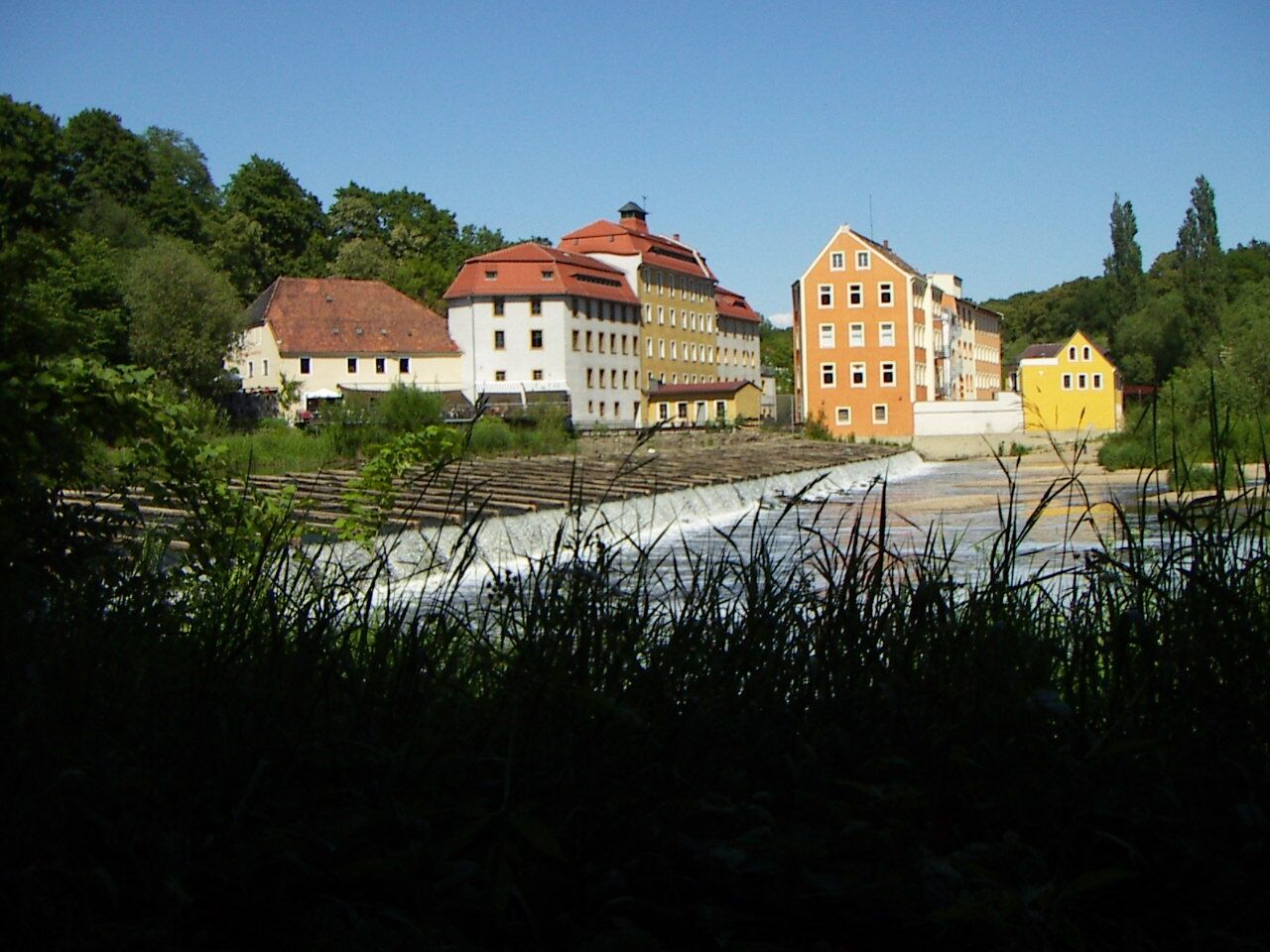
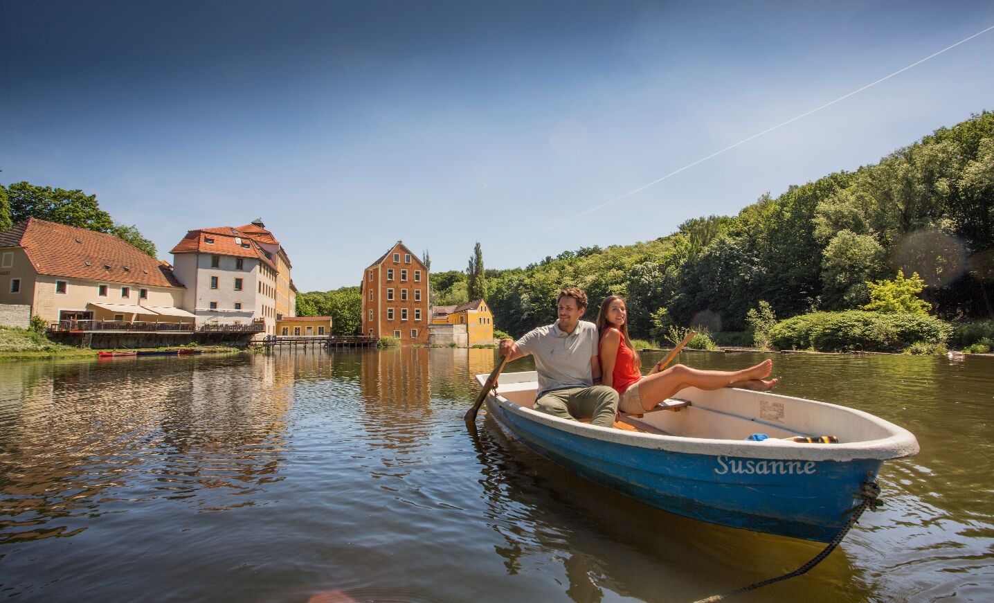
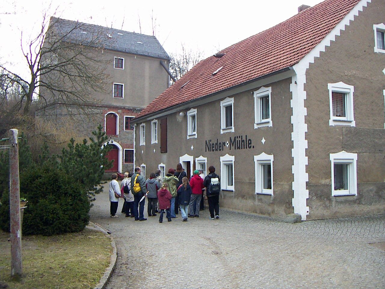

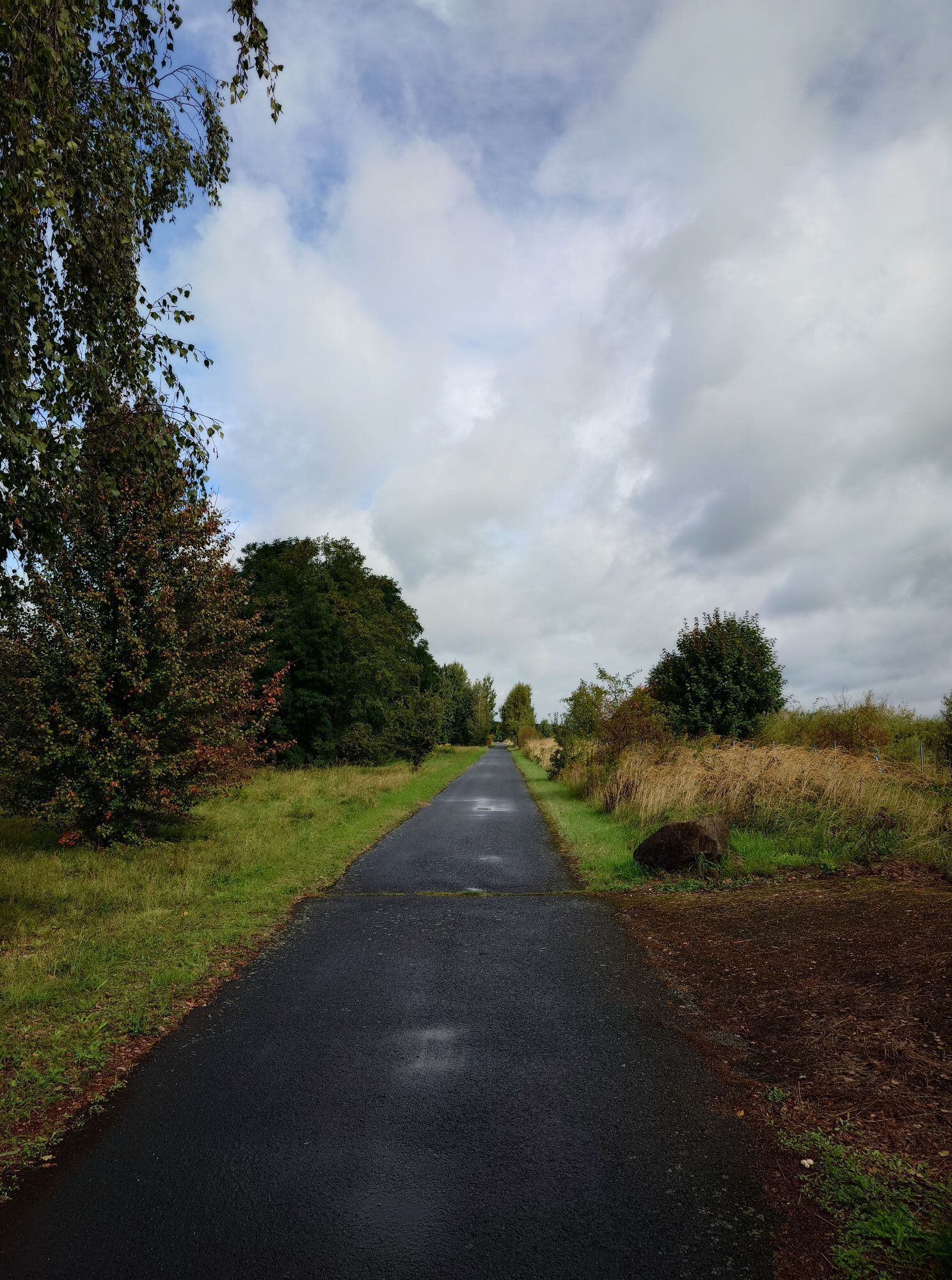
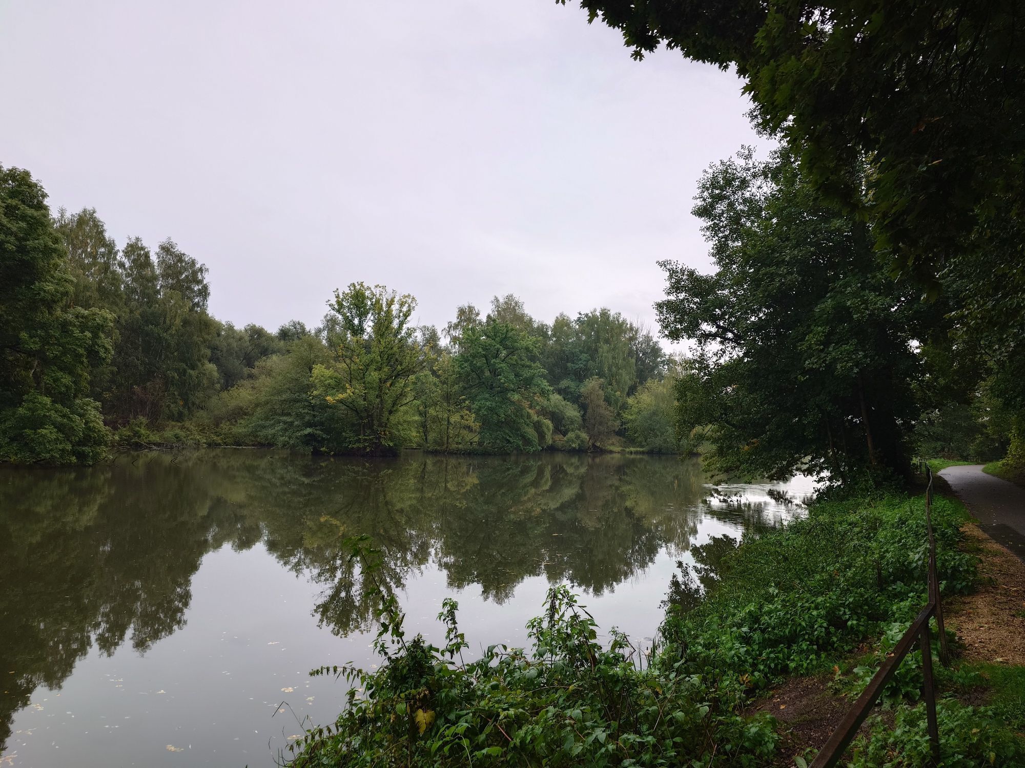
In Ebersbach, take a short detour downstream, heading north to the Niedermühle and then back again, always along the Weiße Schöps River. Follow the Schöpstal hiking trail marked "Grüner Strich" via Morgenseite and Kleine Seite. Unfortunately, the Girbirgsdorf Mühlenhotel is closed. But there are still several millstones on the yard. Follow the road Kleine Seite, cross Girbigsdorfer Straße and continue along the Schöps River. At the end of Girbigsdorf change to the Girbigsdorfer Straße S125 and do not cross the bridge at the entrance to Holtendorf, but stay on the Mittelstraße. Again upstream, always along the road Am Schöps, but now the route runs in a westerly direction to Markersdorf.
In Markersdorf, shortly behind the Durocstein, the Schöps River changes its direction to the south again. Right behind the junction, the Kirchmühle still stood until 2015. Here, only a millstone still bears witness to its former location. A bench invites you to take a break. The tour now continues in the direction of Friedersdorf.
If the tour is too long for you, you have the option of shortening it in Friedersdorf via the S111 in the direction of Kunnerwitz. In Kunnerwitz, the restaurant "Zur Windmühle" invites tired cyclists to take a break.
If you don't mind the kilometres in the saddle, follow the local road in Friedersdorf to the turn-off to Schönau-Berzdorf. Via Friedersdorfer Straße you will get directly to the Mittelmühle, where several millstones can still be found in the courtyard.
From here, the route follows the main road S128 past Hutberg to Kiesdorf to the former Jäckel-Mühle, which was located at Dorfstraße 59. The route climbs over an old concrete road between Quärgelberg and Knorrberg and crosses over into the Neisse valley to Leuba to the Apelt-Mühle. From here the route follows the Oder-Neisse cycle path back to Görlitz. In Hagenwerder you have the choice of a short detour to the former Wassermühle in Tauchritz or to the Alte Mühle in Radmeritz / Radomierzyce in Poland. If you feel thirsty for coffee, you can visit the Mühlencafé in Radmeritz. The alternative would be to end the excursion at the Obermühle with a home-brewed beer. From the Obermühle you cycle north along the Oder-Neisse cycle path back to the Vierradenmühle.
Görlitz, Löbau und Umgebung Königshainer Berge, Berzdorfer See von SACHSEN KARTOGRAPHIE GmbH Dresden ISBN: 978-3-86843-096-7
Görlitz, Löbau, Reichenbach/OL - Radwander- und Wanderkarte Dr. Barthel Verlag ISBN: 978-389591-142-2
roadworthy bicycle, bicycle helmet, rucksack (approx. 20 litres) with rain cover, comfortable sport shoes, weatherproof and hard-wearing clothing in multiple layers, bicycle tyre, cycle tools, sun and rain protection, provisions and drinking water, first aid kit, pocketknife, mobile phone, if necessary headlamp and reflectors, map
This route is not signposted.
You can find more information at: https://www.visit-goerlitz.com/Arrival.html
Parking is possible on the Obermarkt or in the Old Town car park.
During your tour, you should visit the Old Café in Radomierzyce on the Polish side of the Neisse River. At the end of the tour, a stop at the restaurant Obermühle is recommended.
Webcams der Tour

Beliebte Touren in der Nähe
- 4,3
Königshainer Berge
leichtWanderung 4,48 km Walking-tour around Berzdorf Lake
mittelWanderung 17,5 kmA bicycle tour for families at Berzdorf Lake
leichtRadfahren 15,6 km- 5,0
Löbau, Eisener Turm
mittelWanderung 7,17 km Via Sacra Radpilgerroute von Görlitz nach Zittau
mittelRadfahren 42,3 kmTour 16: Around Berzdorf Lake (Berzdorfer See)
leichtRadfahren 21,9 kmBicycle tour along the Oder-Neisse cycle path and around Berzdorf Lake
leichtRadfahren 24,2 kmWalking tour to the Landeskrone near Görlitz
mittelWanderung 1,33 kmBicycle tour from Görlitz to Königshain
mittelRadfahren 35,0 kmThe legendary city of Görlitz
leichtWanderung 1,80 km
Wandern & Tracking


Verpasse keine Angebote und Inspirationen für deinen nächsten Urlaub
Deine E-Mail-Adresse wurde in den Verteiler eingetragen.





