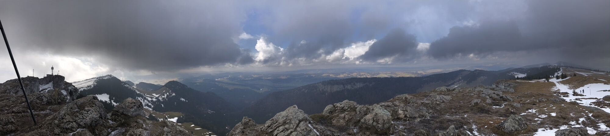
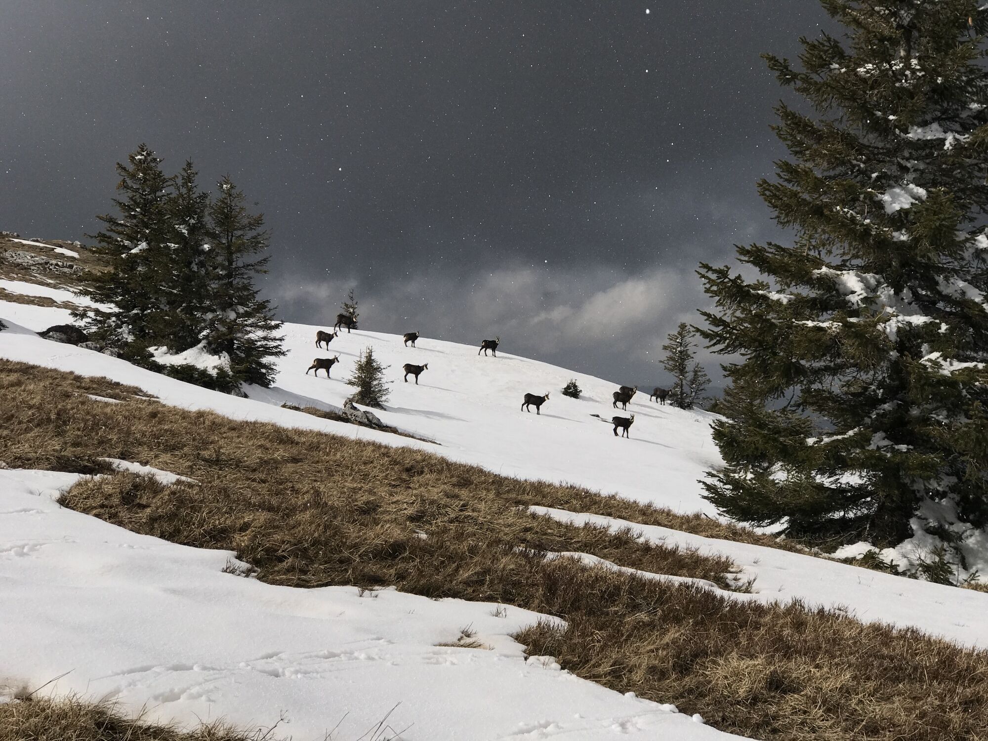
Hike Les Chasseron (Jura)
leicht
Hol diese Tour auf dein Handy
Hike Les Chasseron (Jura)
leicht
Wanderung
10,84
km
QR-Code scannen und Navigation in der bergfex App beginnen

Wandern & Tracking


Hike Les Chasseron (Jura)
leicht
Distanz
10,84
km
Dauer
03:20
h
Aufstieg
469
hm
Seehöhe
1.095 -
1.608
m
Track-Download
Hike Les Chasseron (Jura)
leicht
Wanderung
10,84
km
Wegverlauf
Les Cluds
(1.207 m)
Siedlung
0,1 km
Le Chasseron
(1.607 m)
Gipfel
5,0 km
Petites Roches
(1.583 m)
Gipfel
6,5 km
Mont-Cochet
(1.156 m)
Flur/Gelände
9,9 km
Cure protestante
(1.088 m)
Andachtsstätte
10,3 km
Sainte-Croix
(1.077 m)
Dorf
10,4 km
Wegverlauf
Hike Les Chasseron (Jura)
leicht
Wanderung
10,84
km
Café-Restaurant des Cluds
(1.207 m)
Restaurant
0,1 km
Les Cluds
(1.207 m)
Siedlung
0,1 km
Les Tempêteries
(1.502 m)
Flur/Gelände
3,6 km
Le Chasseron
(1.607 m)
Gipfel
5,0 km
Aussichtspunkt
(1.583 m)
Aussichtspunkt
5,2 km
Hôtel du Chasseron
(1.584 m)
Restaurant
5,2 km
Petites Roches
(1.583 m)
Gipfel
6,5 km
Les Avattes
(1.452 m)
Restaurant
7,3 km
Mont-Cochet
(1.156 m)
Flur/Gelände
9,9 km
Église de Sainte-Croix
(1.104 m)
Andachtsstätte
10,3 km
Cure protestante
(1.088 m)
Andachtsstätte
10,3 km
Sainte-Croix
(1.077 m)
Dorf
10,4 km
Sainte-Croix
(1.066 m)
Bahnhof
10,8 km


Weginformationen
Wegverlauf
I think the best is to take the train to Yverdon les bains. Then the train to Saint Croix and at the end a bus to the Camping place Les Cluds.
Ausrüstung
Good hiking shoes, a wind stopper, if you like take walking sticks with you, but not necessairy. Enough to tring and some food. And sun glasses don't forget.
Noch keine Bewertungen
Beliebte Touren in der Nähe
-
4,0
Le Chasseron
mittelWanderung 7,89 km -
1,0
gorges-de-covatannaz
leichtWanderung 10,1 km -
5,0
6. Etappe Sainte-Croix, Waadt/Schweiz
mittelWanderung 18,5 km -
St. Croix —> Baulmes via Aiguilles de Baulmes
mittelWanderung 15,0 km -
Les Bayards-La Brévine
leichtMountainbike 28,9 km -
Yverdon-les-Bains TRAVYS - Yverdon-les-Bains - Au four à Pain - Villars-Epeney
schwerWanderung 19,5 km -
Vallorbe - Temple de Vuiteboeuf - Église de Corcelles sur Chavornay - Ligne de partage des eaux Rhône/Rhin
schwerRennrad 91,2 km -
4,3
Môtiers - Saint-Pierre - Auberge des Six Communes - Môtiers NE
mittelWanderung 11,1 km -
Nogi kawa sushi - Cure protestante - Le Chasseron - Petites Roches
schwerMountainbike 14,0 km -
Six-Fontaines - Châlet La Mathoulaz - Le Suchet - Baulmes
schwerWanderung 11,6 km
Wandern & Tracking

Über 550.000 Tourenvorschläge, detailliertes Kartenmaterial und ein intuitiver Routenplaner machen die App zum Must-have für alle Naturbegeisterten.

Verpasse keine Angebote und Inspirationen für deinen nächsten Urlaub
Zum Newsletter anmelden
Fehler
Ein Fehler ist aufgetreten. Bitte versuche es erneut.
Vielen Dank für deine Anmeldung
Deine E-Mail-Adresse wurde in den Verteiler eingetragen.
Touren in ganz Europa
Österreich
Schweiz
Deutschland
Italien
Slowenien
Frankreich
Niederlande
Belgien
Polen
Liechtenstein
Tschechien
Slowakei
Spanien
Kroatien
Bosnien und Herzegowina
Luxemburg
Andorra
Portugal
Island
Vereinigtes Königreich
Irland
Griechenland
Albanien
Nordmazedonien
Malta
Norwegen
Montenegro
Moldau
Kosovo
Ungarn
San Marino
Rumänien
Estland
Lettland
Belarus
Zypern
Litauen
Serbien
Bulgarien
Monaco
Dänemark
Schweden
Finnland