


Between Vennbahn and Rur
The tour starts at the former Monschaus railway station, which is located outside the historic city centre. The tour takes us over the Vennbahn to Sourbrodt. Where once trains ran on coal and steel, today...
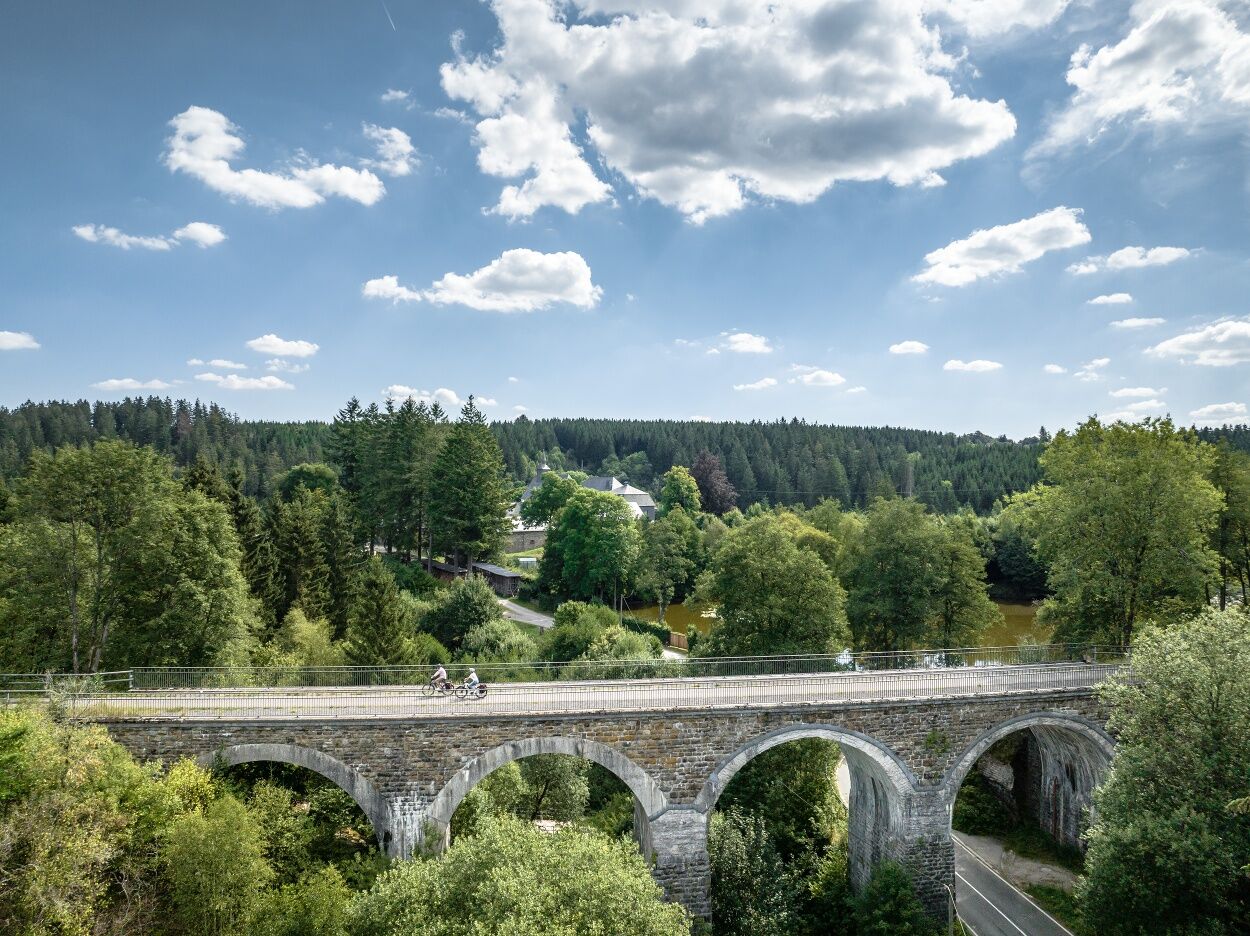
The tour starts at the former Monschaus railway station, which is located outside the historic city centre. The tour takes us over the Vennbahn to Sourbrodt. Where once trains ran on coal and steel, today cyclists can explore the unique low mountain range landscape of the Eifel/Ardennes comfortably and with little gradient. On our way we pass the former smugglerdor Mützenich and after only a few kilometres we reach the viaduct of Reichenstein, which offers a wonderful view of the surroundings and provides a breath of adventure. From Kalterherberg we leave Germany and the tour leads to Belgian territory.
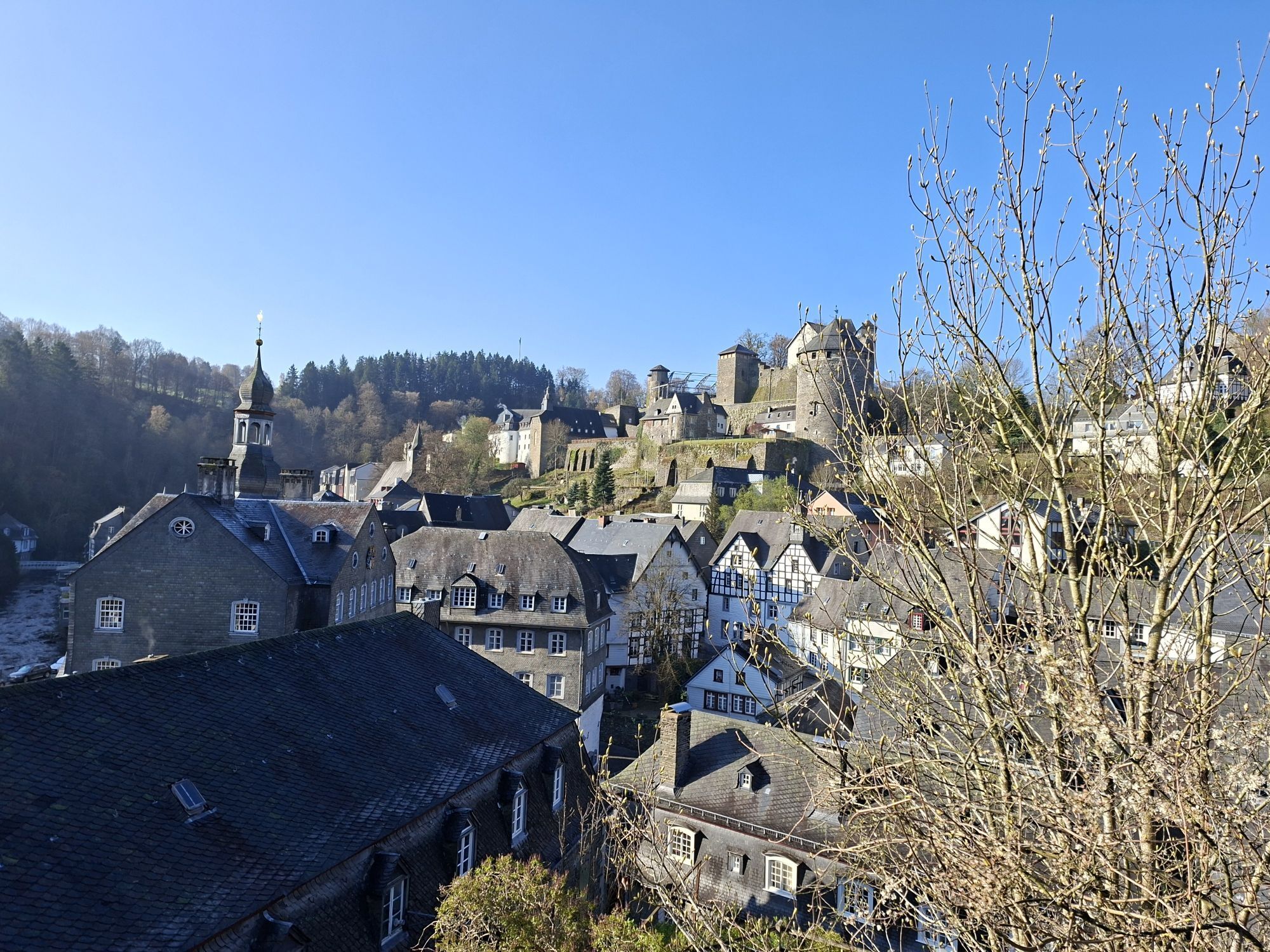
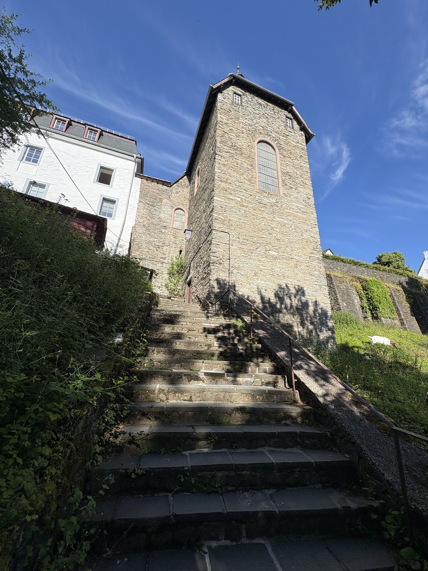
The unique heath landscape announces the Hohes Venn-Eifel Nature Park. As a gigantic water reservoir, this fascinating moorland area ensures that there are numerous streams and rivers to bridge. Behind the excellently preserved station building of Sourbrodt we leave the Vennbahn. A short time later, the Rur shore cycle path leads us back to Monschau. The splashing Rur accompanies us on our way past Reichenstein Monastery and Norbertus Chapel until we finally reach the centre of the former cloth making town of Monschau with its splendidly preserved idyll of half-timbered houses. Here we end the day with a leisurely stroll through the old town or in one of the cosy cafes before returning to the starting point.
Highlights along the route:
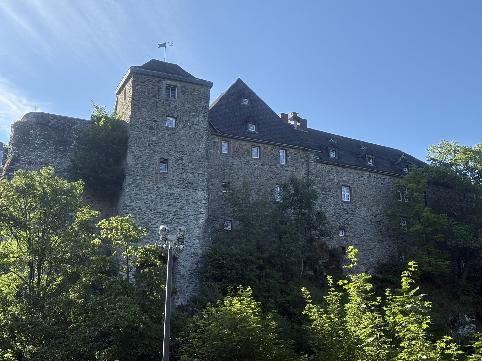
Reichenstein ViaductKalterherberg-Sourbrodt trolley routeSourbrodt station buildingHigh FagnesRur ValleyReichenstein MonasteryHistorical Old Town Monschau with Red House
Route character
The tour runs on very well developed paths through the Eifel landscape. The road surface is mostly asphalted, but especially on the Rur shore cycle path there are also water-bound sections, which are in good condition. Only between knots 33, 26 and 27 in Monschau and on the Belgian section far away from the Vennbahn are some crisp climbs to be found.
Unterwegs mit Pittchen Pedale, Radwandern in der Städteregion Aachen, Radwegekarte On the way with Pittchen Pedale, bicycle touring in StädteRegion Aachen, biking map 1:50.000 with accompanying booklet, Price: 7,50 €, ISBN 978-3-89899-529-0, Meyer & Meyer Verlag
With the weather adapted clothing, enough water and a little food you are well equipped for the tour.
Please stay on the marked routes.
Use our route planner for the individual planning of your journey by car and enter "Beerenburg, Monschau" as your destination.
Your personal connection information with fare information and conditions for travelling by public transport is available at: www.avv.de
Park your car in the parking areas at the former Monschau train station.
You will find restaurants in the centres of Monschau, Mützenich, Kalterherberg and Sourbrodt.
Beliebte Touren in der Nähe
- 4,5
Eifelsteig Etappe 3
mittelWanderung 24,5 km - 4,7
Der Jahundertweg
schwerWanderung 18,2 km Rundweg Baraque Michel
Wanderung 22,7 km- 4,7
Xhouffrais - Sourbrodt
leichtWanderung 18,3 km - 4,0
Bei Höfen auf den Eifelsteig
mittelWanderung 12,7 km - 2,8
Hautes Fagnes - Château Reinhardstein
leichtWanderung 16,3 km - 3,3
Wasser, Wolle, Schiefersteine
mittelWanderung 13,3 km - 5,0
Monschau Runde #LL2ROM V02
mittelWanderung 4,08 km - 4,0
Durch das Hohe Venn bei Mützenich
mittelWanderung 16,3 km - 4,5
Signal de Botrange - Baraque Michel - Chapelle Fischbach
leichtWanderung 8,60 km
Wandern & Tracking


Verpasse keine Angebote und Inspirationen für deinen nächsten Urlaub
Deine E-Mail-Adresse wurde in den Verteiler eingetragen.