


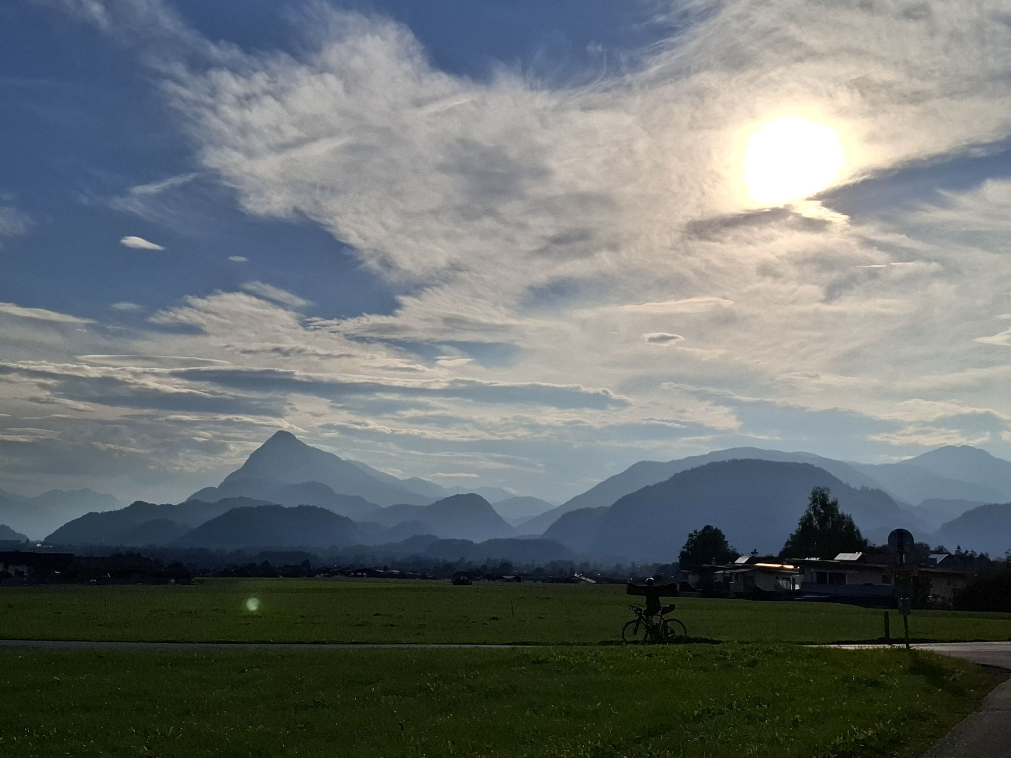
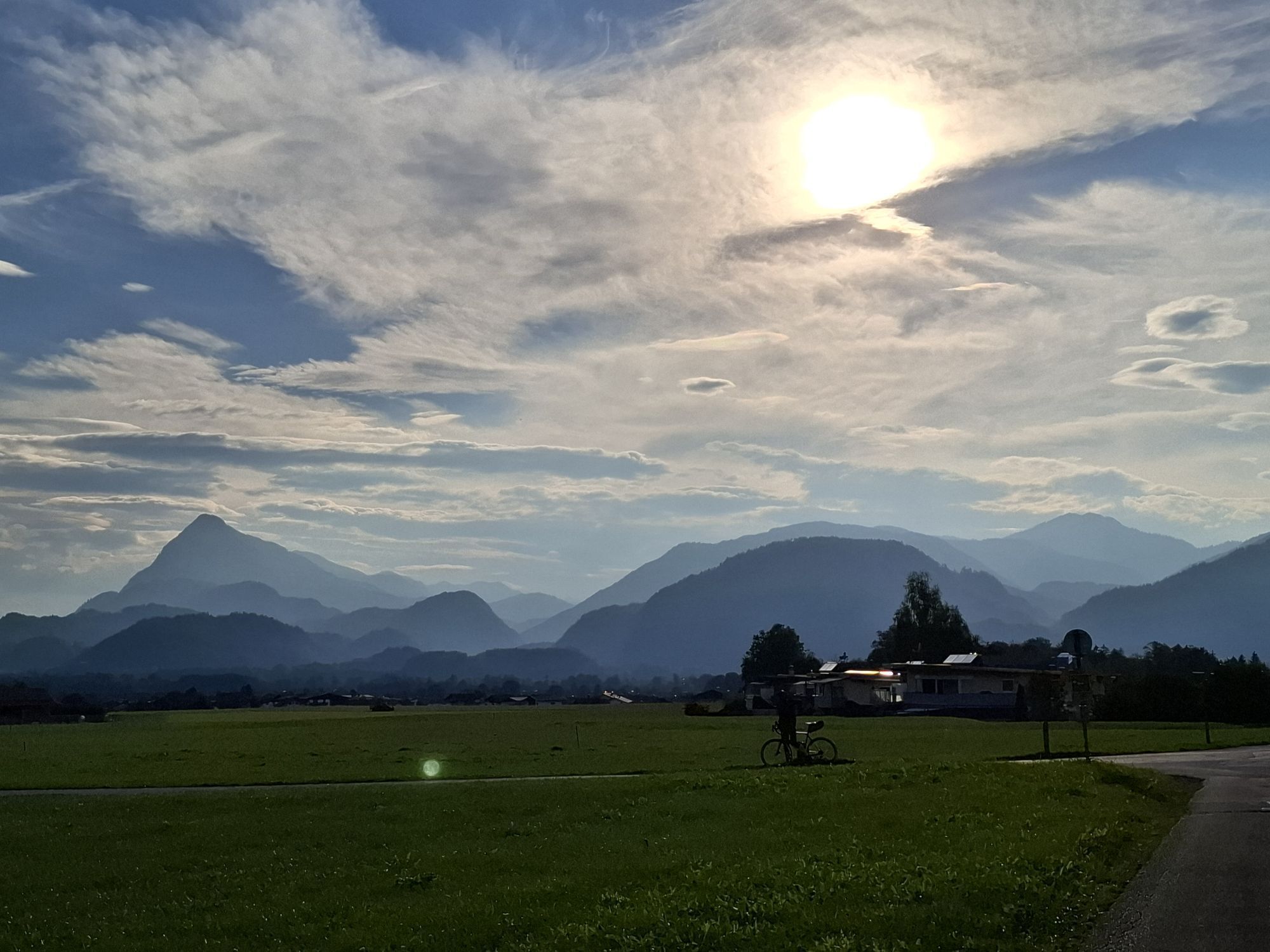
St. Nikolaus Round
We follow the Kaiserbergstraße between church and Oberwirt towards the Kaisergebirge. After about 1000 m the road rises steeply. At the following fork in the road we turn left (following the road further,...
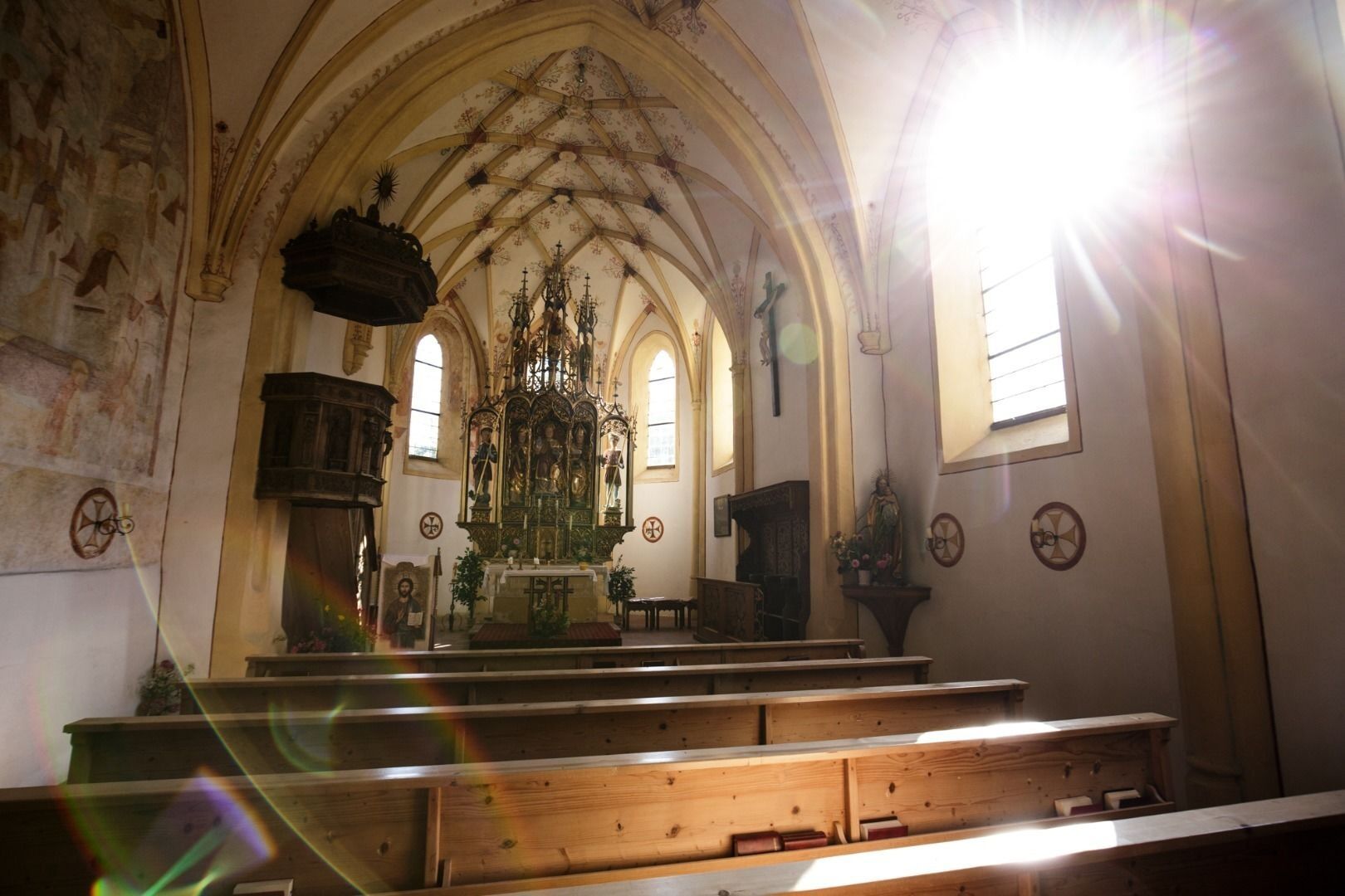
We follow the Kaiserbergstraße between church and Oberwirt towards the Kaisergebirge. After about 1000 m the road rises steeply. At the following fork in the road we turn left (following the road further, we reach a fork in the road to the Aschinger Alm after 200 m). At the edge of the forest the ascent to St. Nikolaus begins. After a few hairpin bends in the open country we can turn left to visit the chapel. Otherwise we keep straight on until we reach the fork in the road to Nußham after 1500 m. Here we keep going into the valley past the old schoolhouse. (If we continue straight on, after 500 m we reach the fork to the right to the Gasthaus Kölnberg and Aschinger Alm. Continue straight ahead for 300 m to the Ledererwirt inn). After a few meters we turn
turn left again. After 200 m we meet another fork in the road. Again we keep left and follow the path downhill through meadows and past farms. Then descend through a small wood
we reach a bridge. Again we keep left. About 250 m later we come to another fork at the Mühltal dairy. We turn left towards the village centre. After 250 m we meet another
Intersection. We're going straight up the field. We follow the road for about 1,000 m until the Kaiserbergstraße blocks our way. We keep right and follow the road towards the church to the starting point.
Snacks (e.g. fruit, muesli bars, wholemeal breads) and drinks (allow for sufficient liquid)
First aid equipment
Mobile phone with full battery
Hiking map and guide literature
Sun protection (sun cream and sunglasses, cap)
From the Inntal motorway take the exit Niederndorf/Oberaudorf.
With the KufsteinerlandCard within the region bus free of charge.
Church square, municipal office or Raiffeisenplatz, free of charge.
Beliebte Touren in der Nähe
- 5,0
Priener Hütte
mittelWanderung 7,99 km - 4,6
Geigelstein
mittelWanderung 14,5 km - 4,5
Über Hintersteinersee und Walleralm aufs Hochegg
leichtWanderung 12,2 km - 4,5
Wanderung: Spitzstein und Altkaseralm von Sachrang
mittelWanderung 4,03 km - 4,5
Wanderung um den Hintersteinersee
leichtWanderung 5,29 km - 4,7
Hintersteinersee
mittelWanderung 9,87 km - 4,4
Der Schmugglerweg von Kössen zum Klobenstein
leichtThemenweg 7,23 km - 4,5
Samerberg - Hochries
mittelWanderung 8,97 km - 4,7
Musikantensteig zur Naunspitze
mittelWanderung 8,96 km - 5,0
Kirchdorf: Stripsenjoch Klettersteige
schwerKlettersteig 3,76 km

Wandern & Tracking


Verpasse keine Angebote und Inspirationen für deinen nächsten Urlaub
Deine E-Mail-Adresse wurde in den Verteiler eingetragen.