


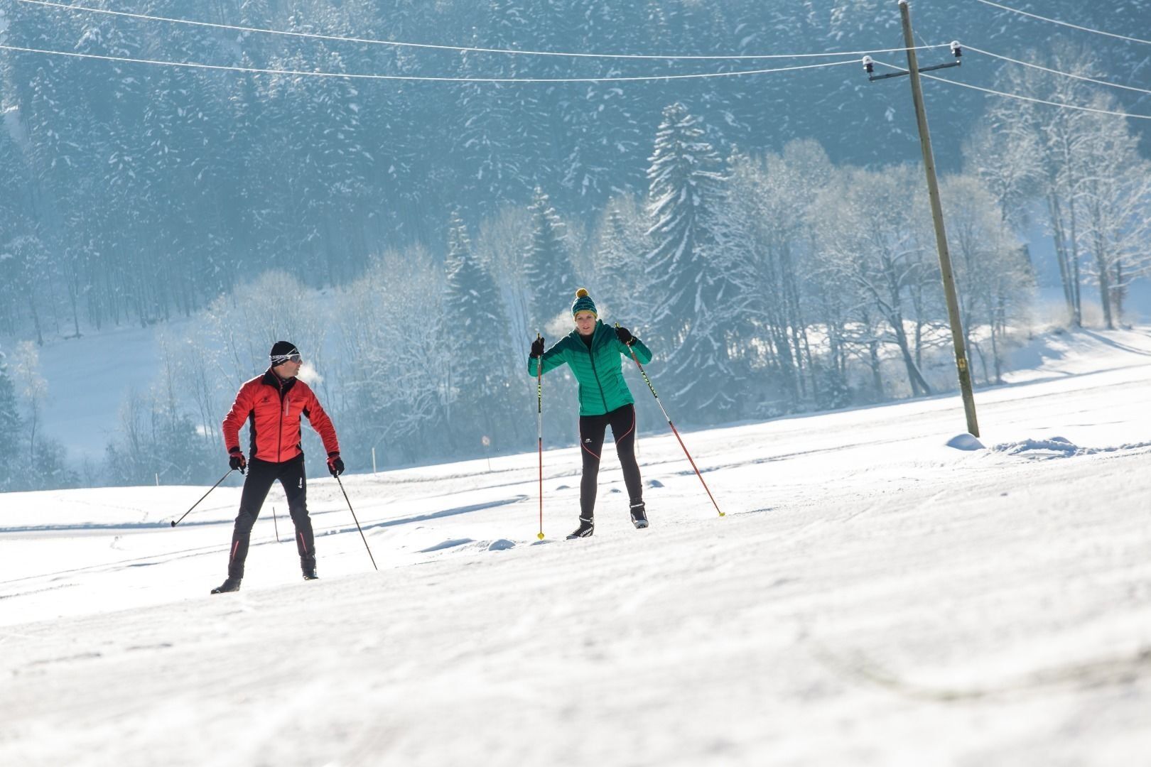
SC3 Ganzer cross-country ski run
This medium-difficulty trail starts south of the soccer field and crosses directly the state road. Afterwards you pass through the biathlon center, overcome a few meters of altitude towards the southern...
This medium-difficulty trail starts south of the soccer field and crosses directly the state road. Afterwards you pass through the biathlon center, overcome a few meters of altitude towards the southern edge of the forest, which you then slowly lose over 2 curves. After crossing the state road again, a loop leads back to the starting point.
On the way, the snow-covered trail and the floodlit trail branch off and both rejoin the full circuit.
By car via the L208 to the center of Schwoich.
With the Regiobus line 4026 to the Schwoich Schuster stop. With the KufsteinerlandCard within the region bus free of charge.
Parking lot soccer field, free of charge.
Webcams der Tour
Thiersee - Mitterland - Schneeberglifte
Thiersee - Mitterland - Schneeberglifte
Thiersee - Mitterland - Schneeberglifte
Thiersee - Mitterland - Schneeberglifte
Thiersee - Mitterland - Schneeberglifte
Pendlinghaus - Kufstein
Pendlinghaus - Kufstein
Thiersee - Mitterland - Schneeberglifte
Langlaufzentrum Schwoich
Festung Kufstein
Beliebte Touren in der Nähe
- 4,5
Über Hintersteinersee und Walleralm aufs Hochegg
leichtWanderung 12,2 km - 4,7
Musikantensteig zur Naunspitze
mittelWanderung 8,96 km - 4,2
Bergdoktor Wohnhaus "Gruberhof" (Köpfing Hof) Rundeweg-Söll
leichtWanderung 8,70 km - 4,5
Wanderung um den Hintersteinersee
leichtWanderung 5,29 km - 3,3
Kaisertal Rund-Wanderung
mittelWanderung 13,9 km - 4,7
Hintersteinersee
mittelWanderung 9,87 km - 4,9
Ellmauer Tor (22.07.2020)
mittelWanderung 9,32 km - 4,8
Rosskopf
leichtWanderung 7,02 km - 4,5
Jubiläumssteig Kaisergrbirge
leichtKlettersteig 6,29 km - 5,0
Gruttenhütte über Klammlweg
mittelWanderung 5,61 km

Wandern & Tracking


Verpasse keine Angebote und Inspirationen für deinen nächsten Urlaub
Deine E-Mail-Adresse wurde in den Verteiler eingetragen.