







KOASA Clasic Run


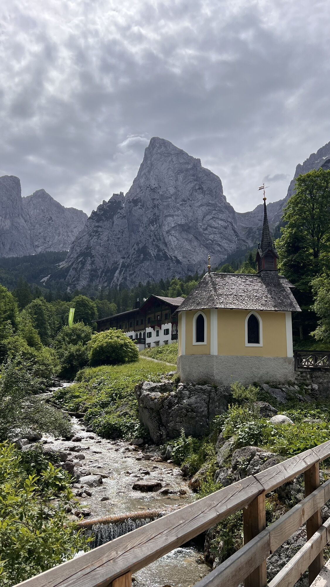
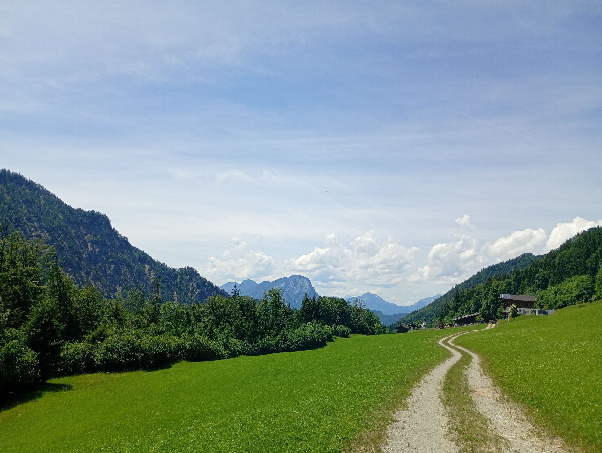
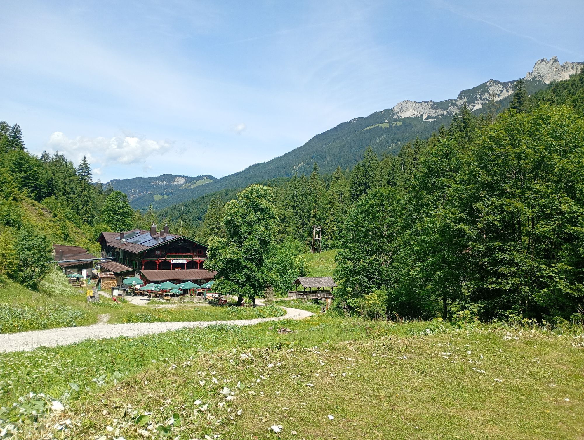
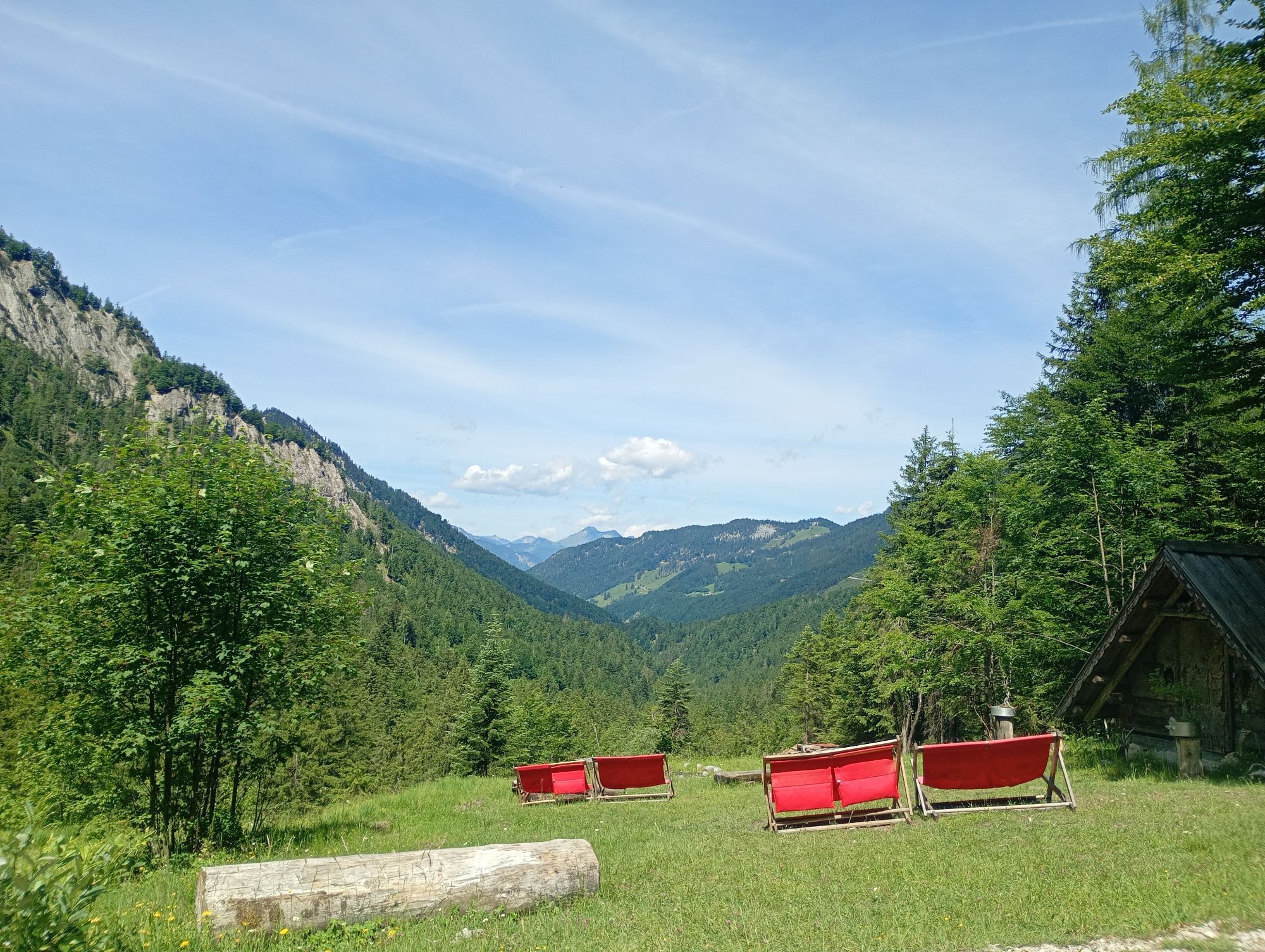
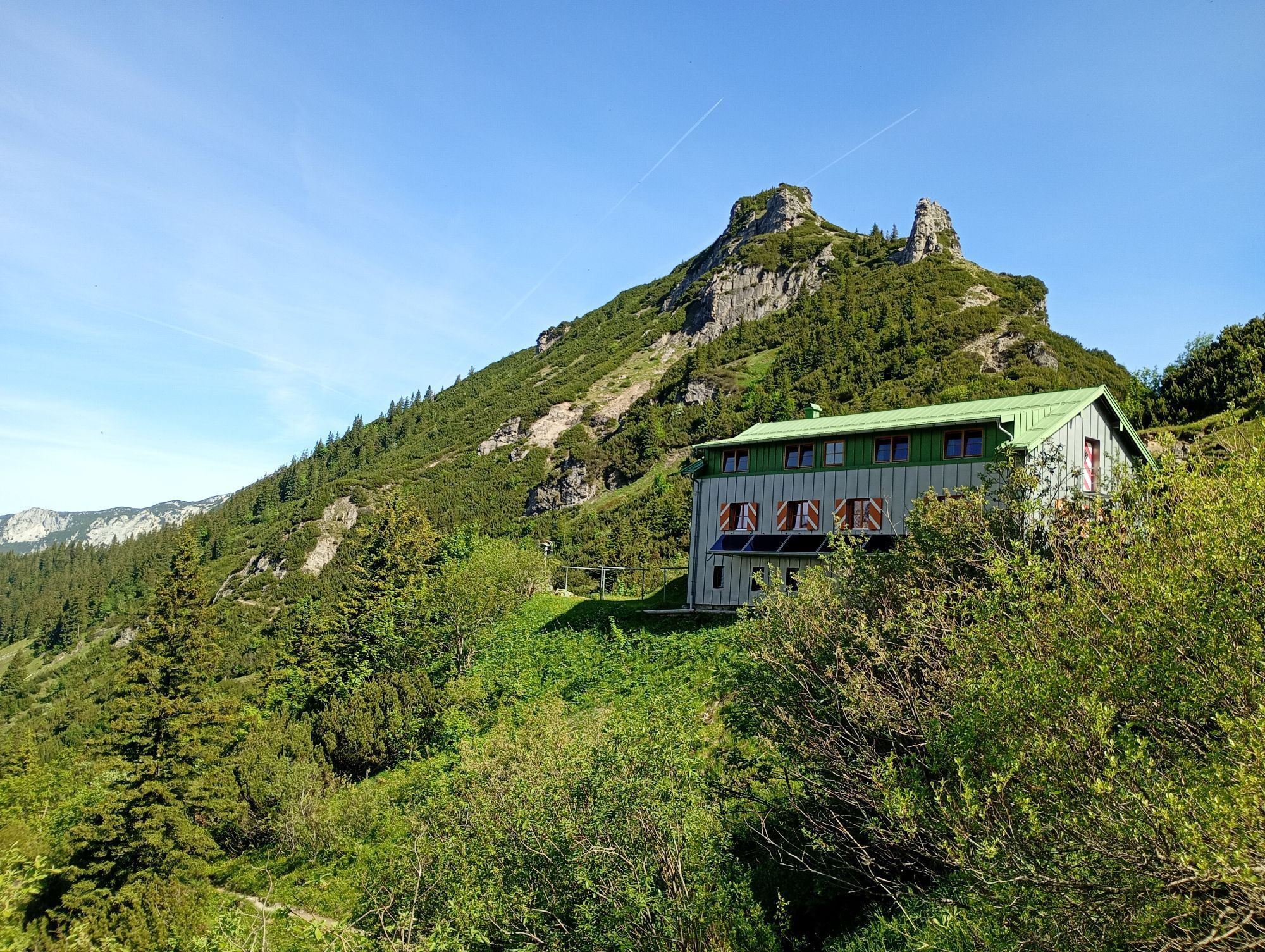
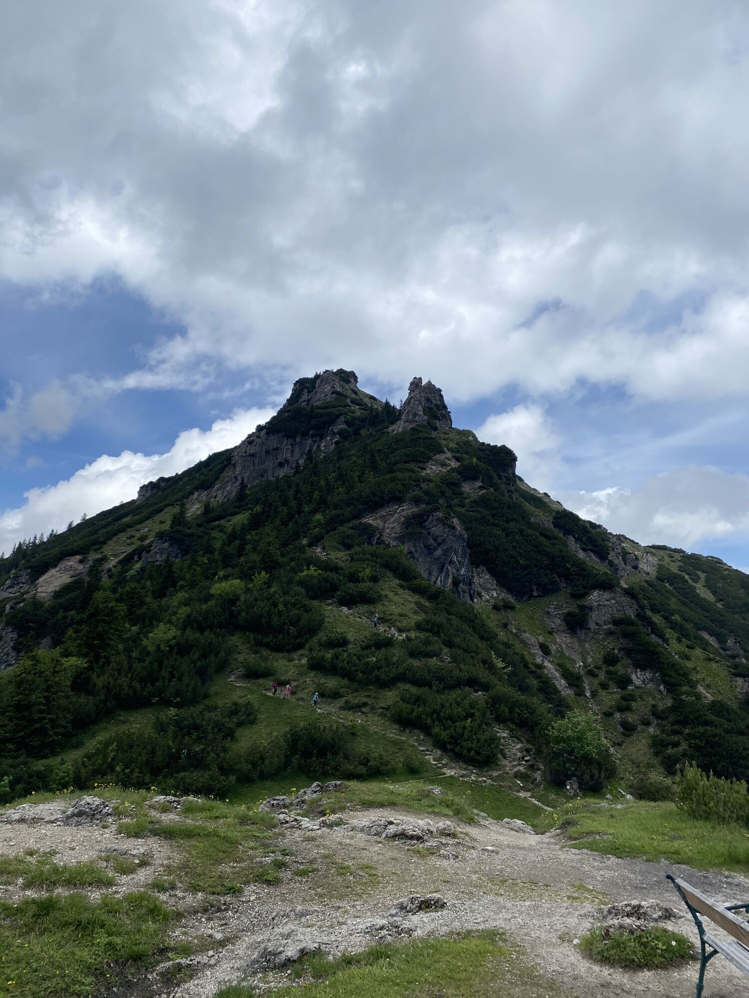
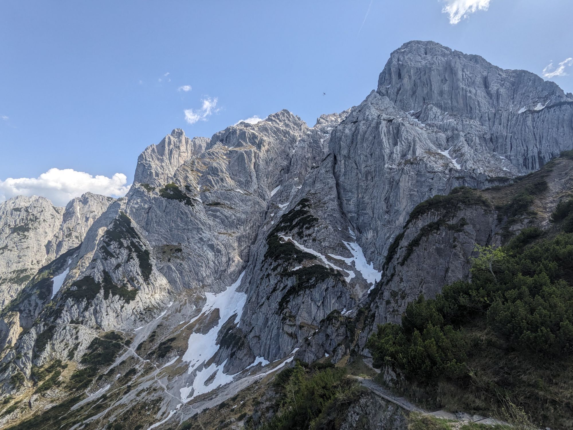
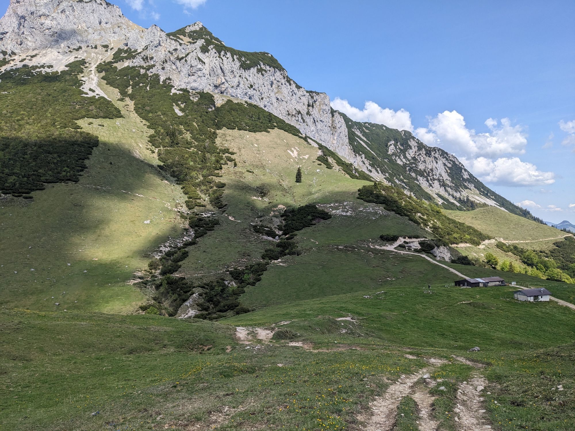
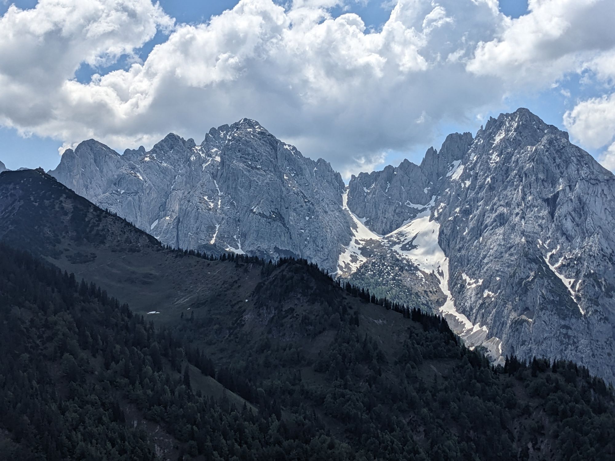
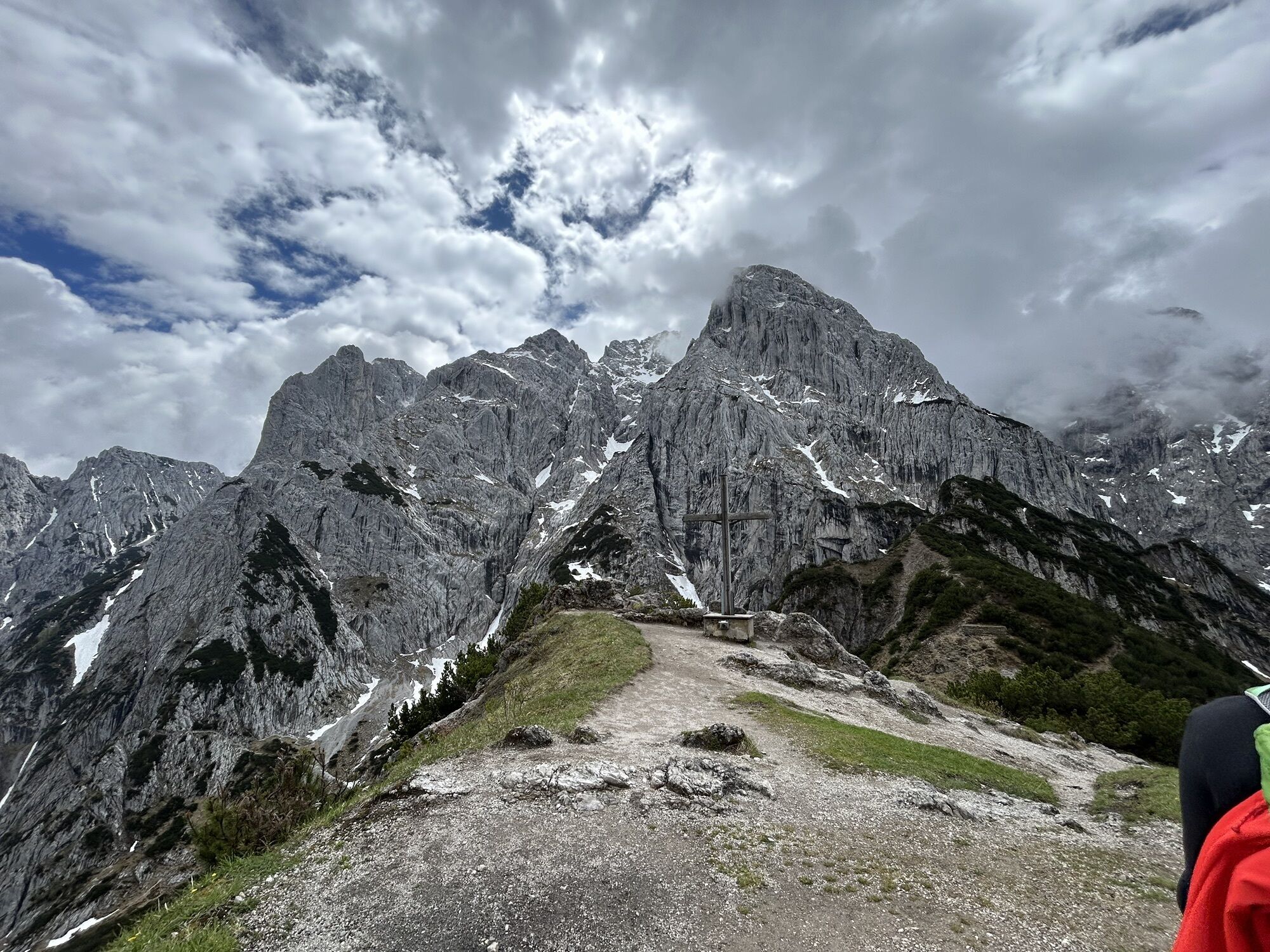
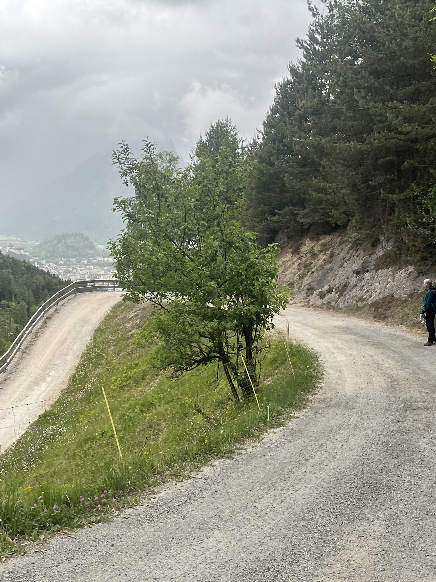
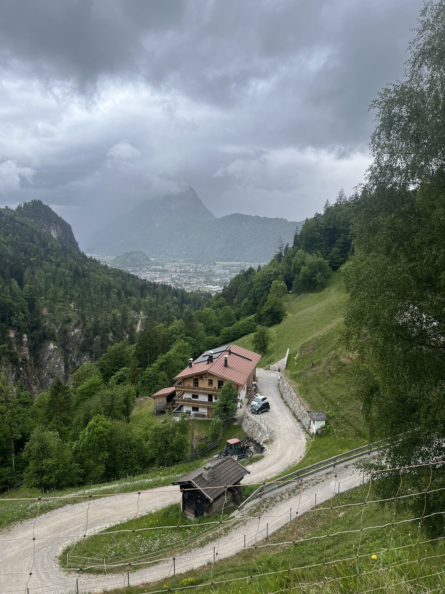
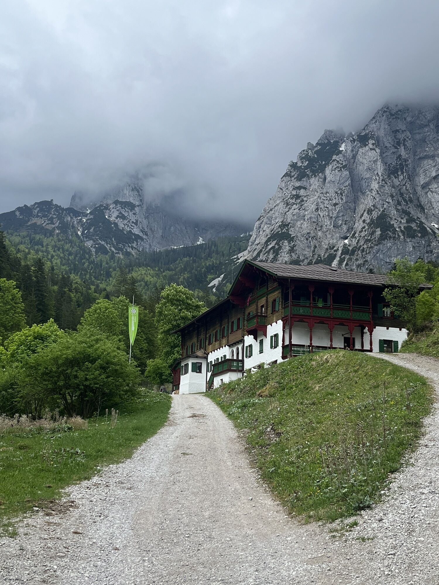
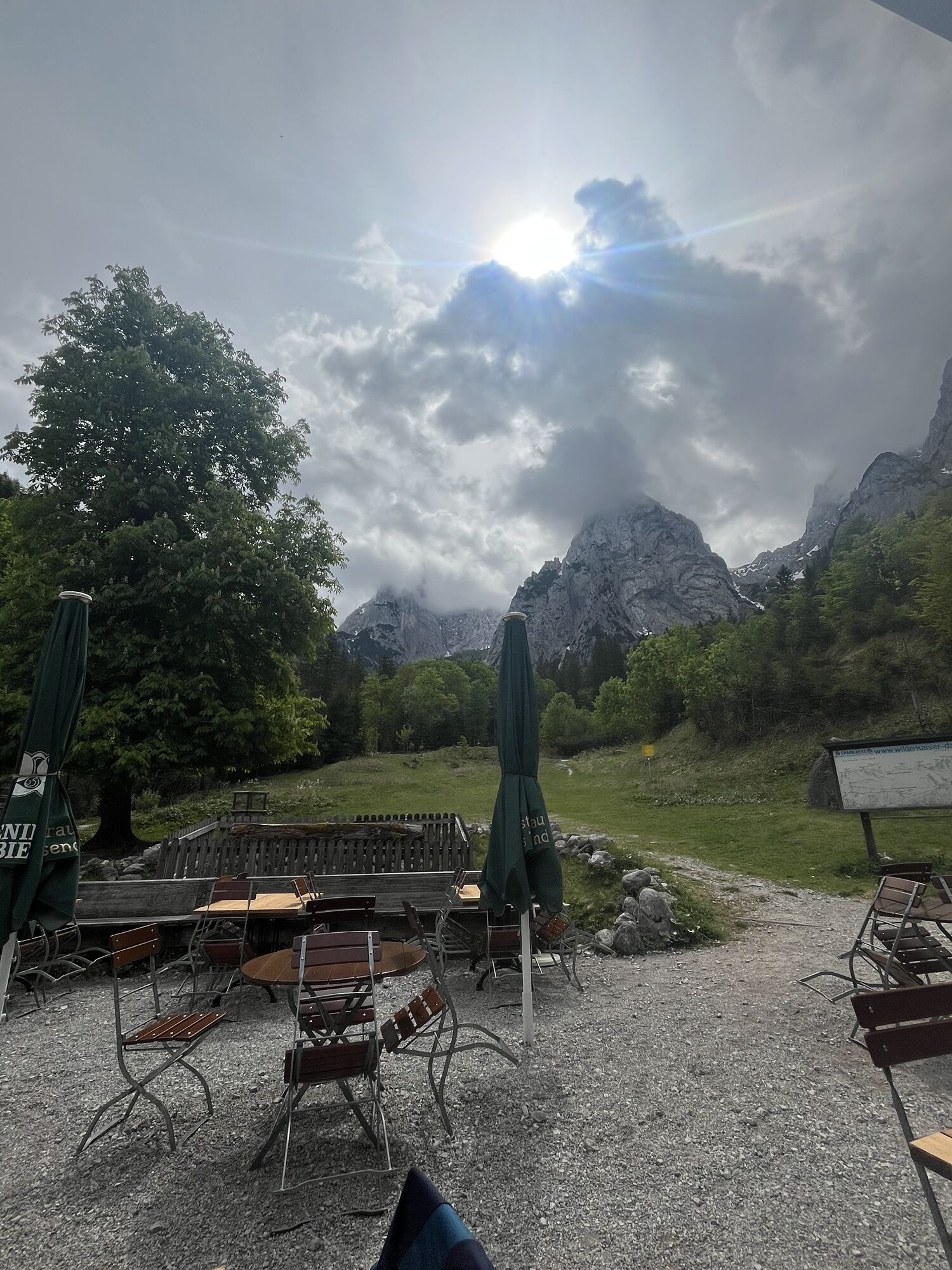
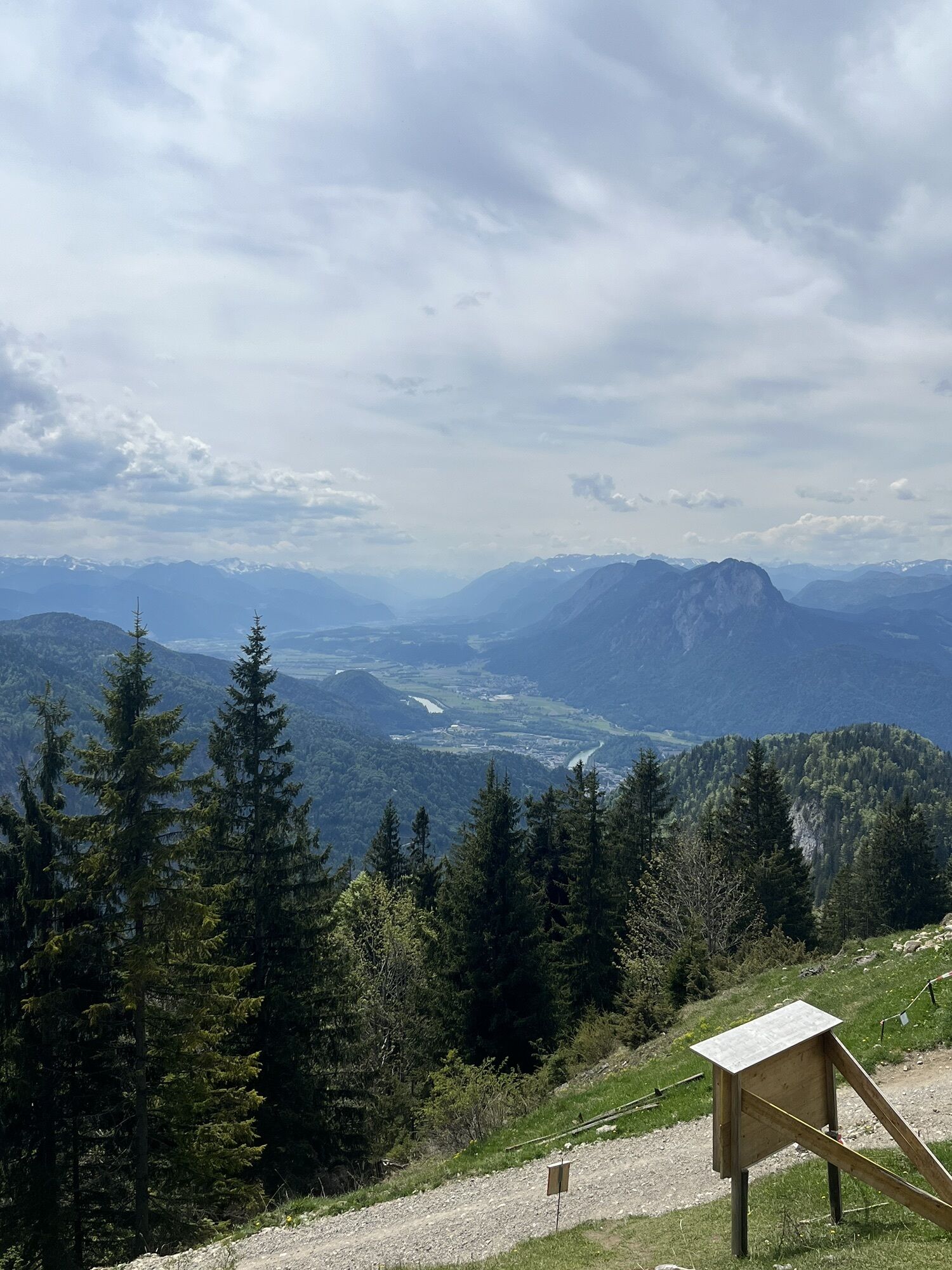
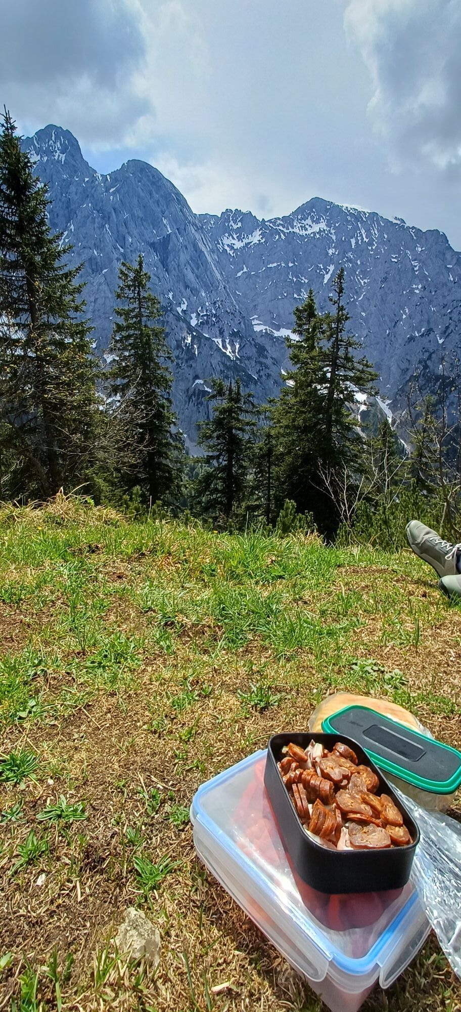
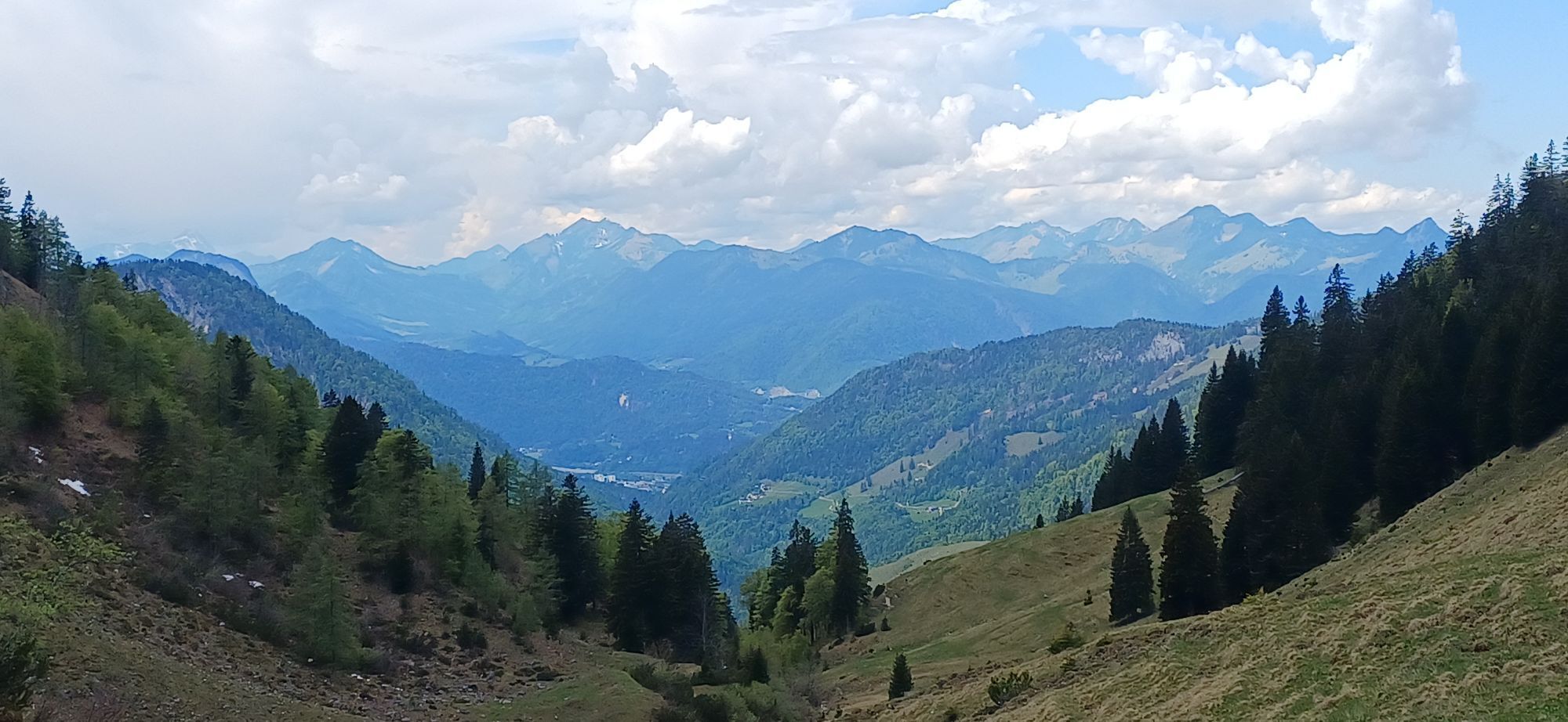
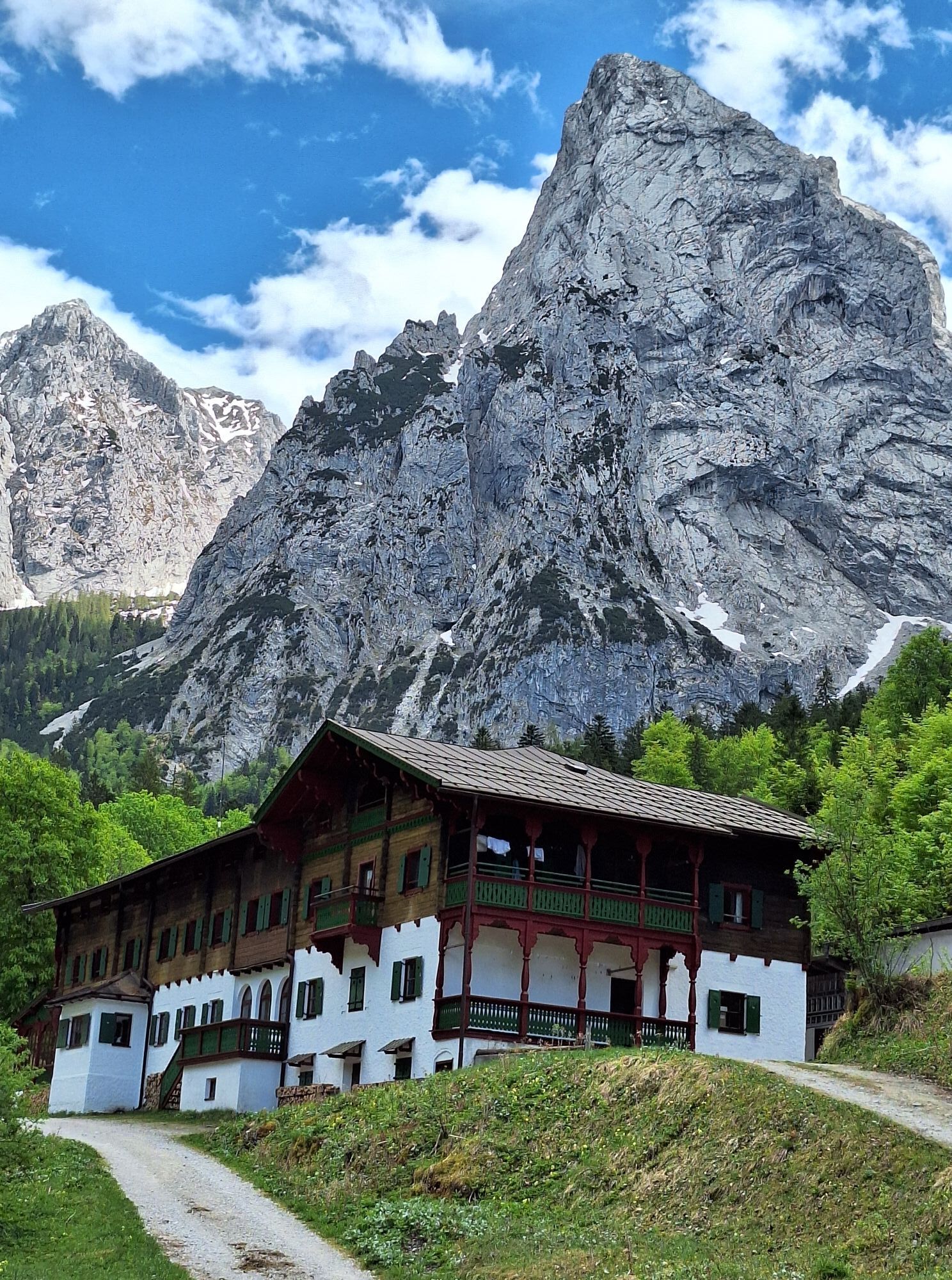
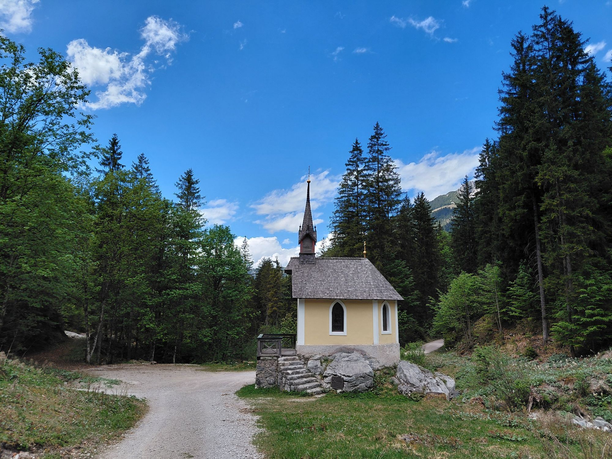
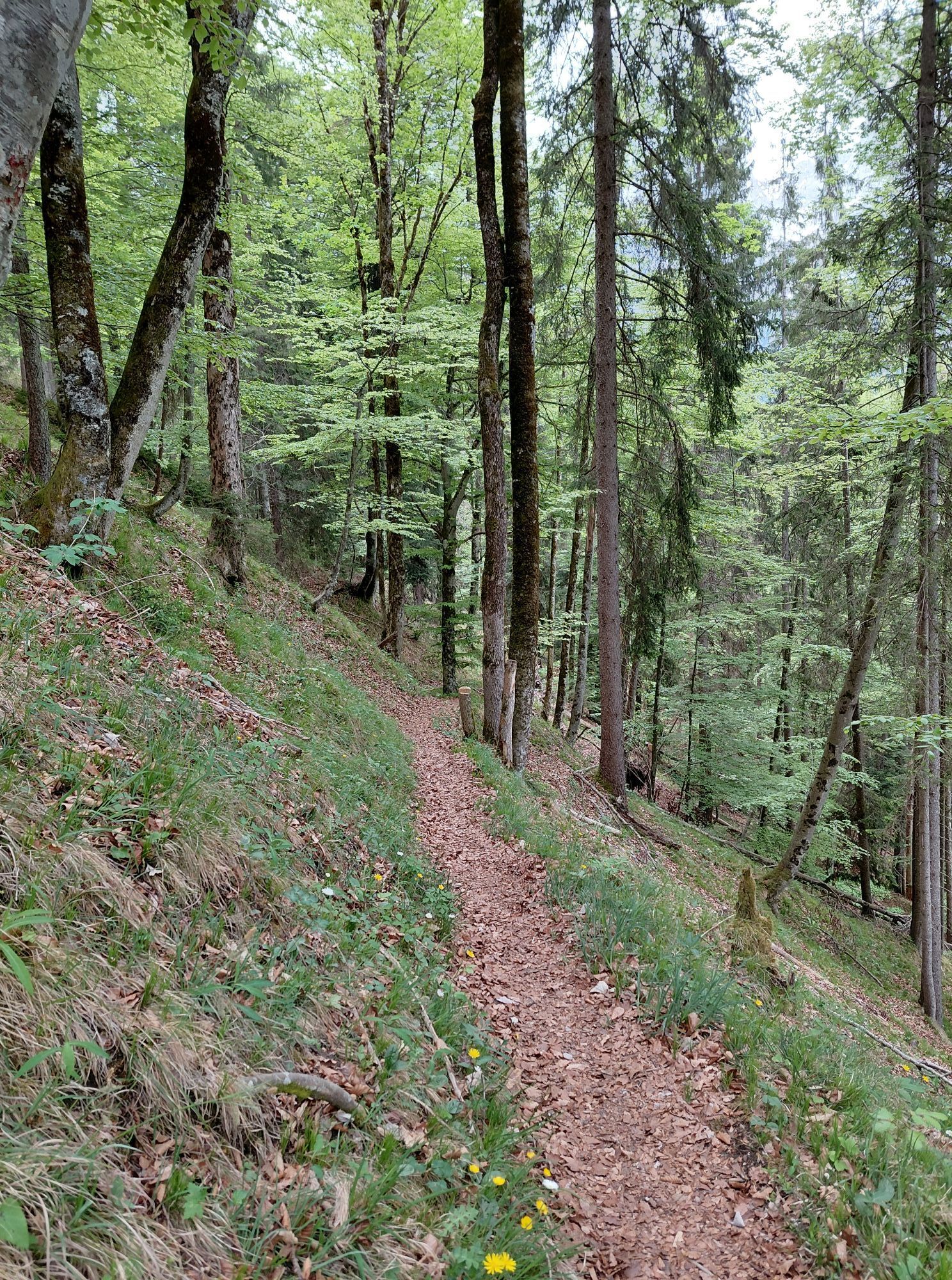
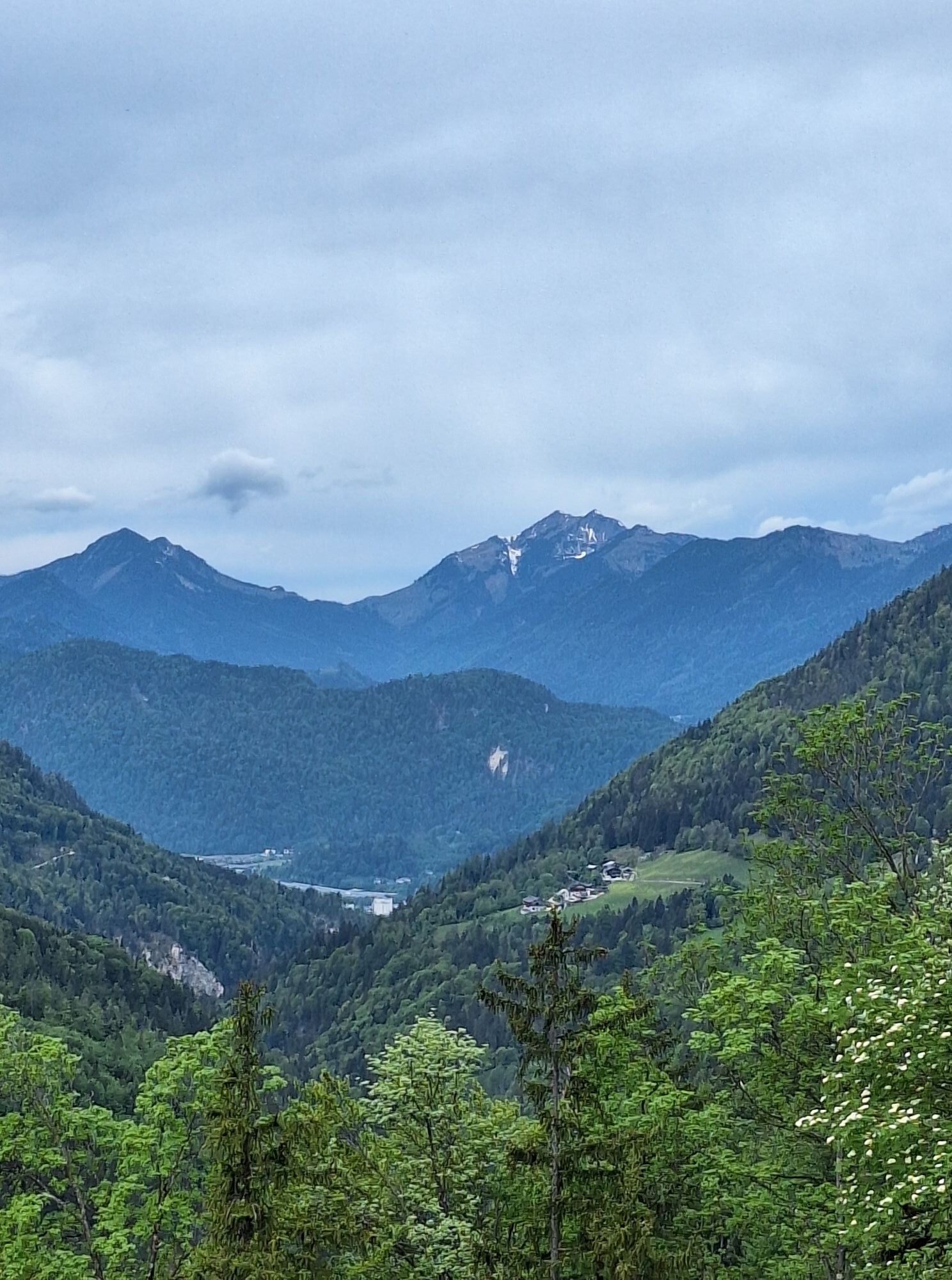
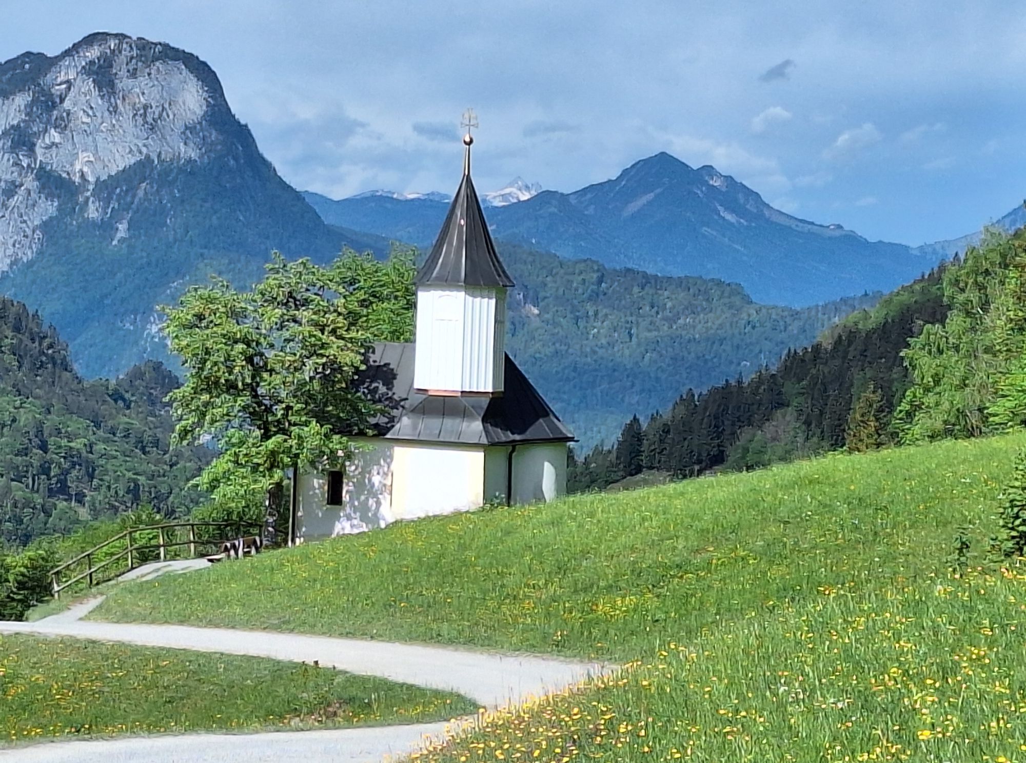
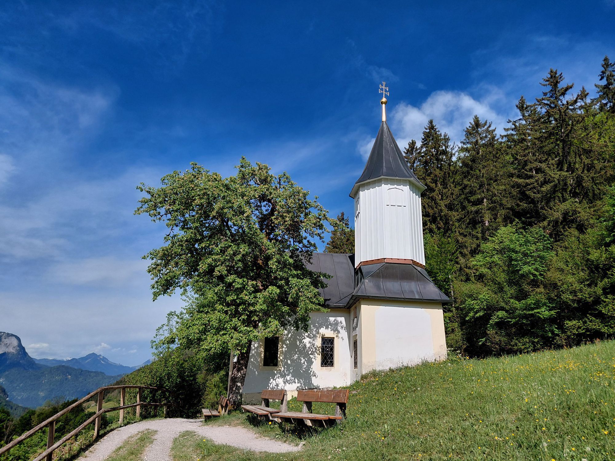
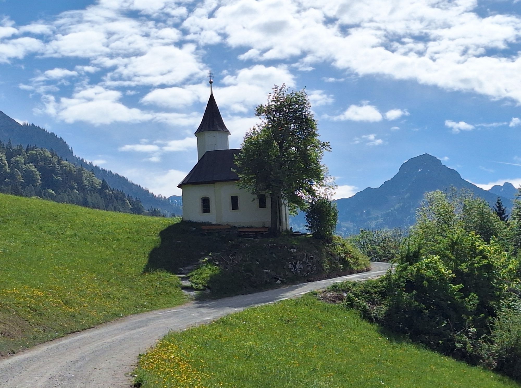
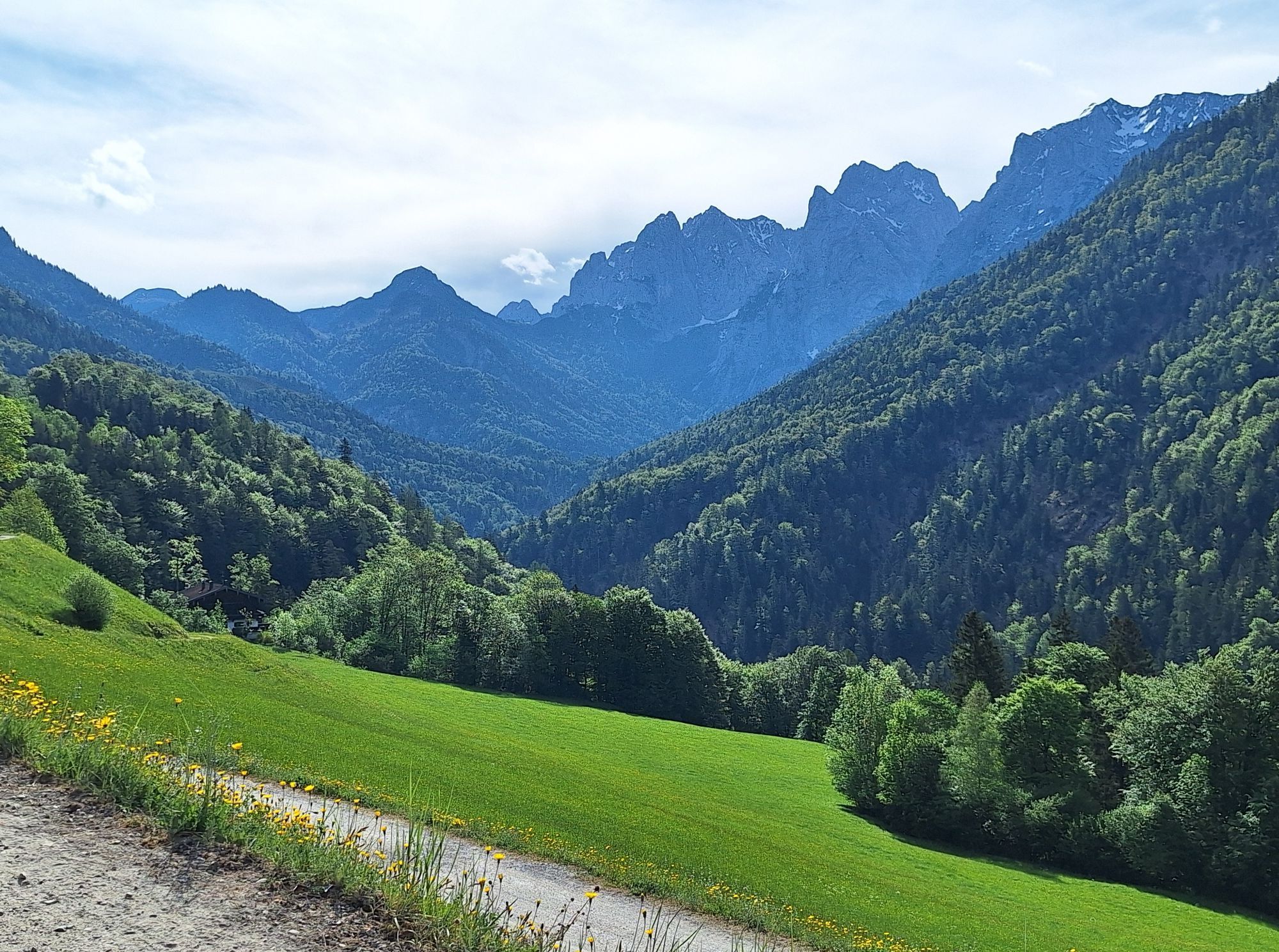
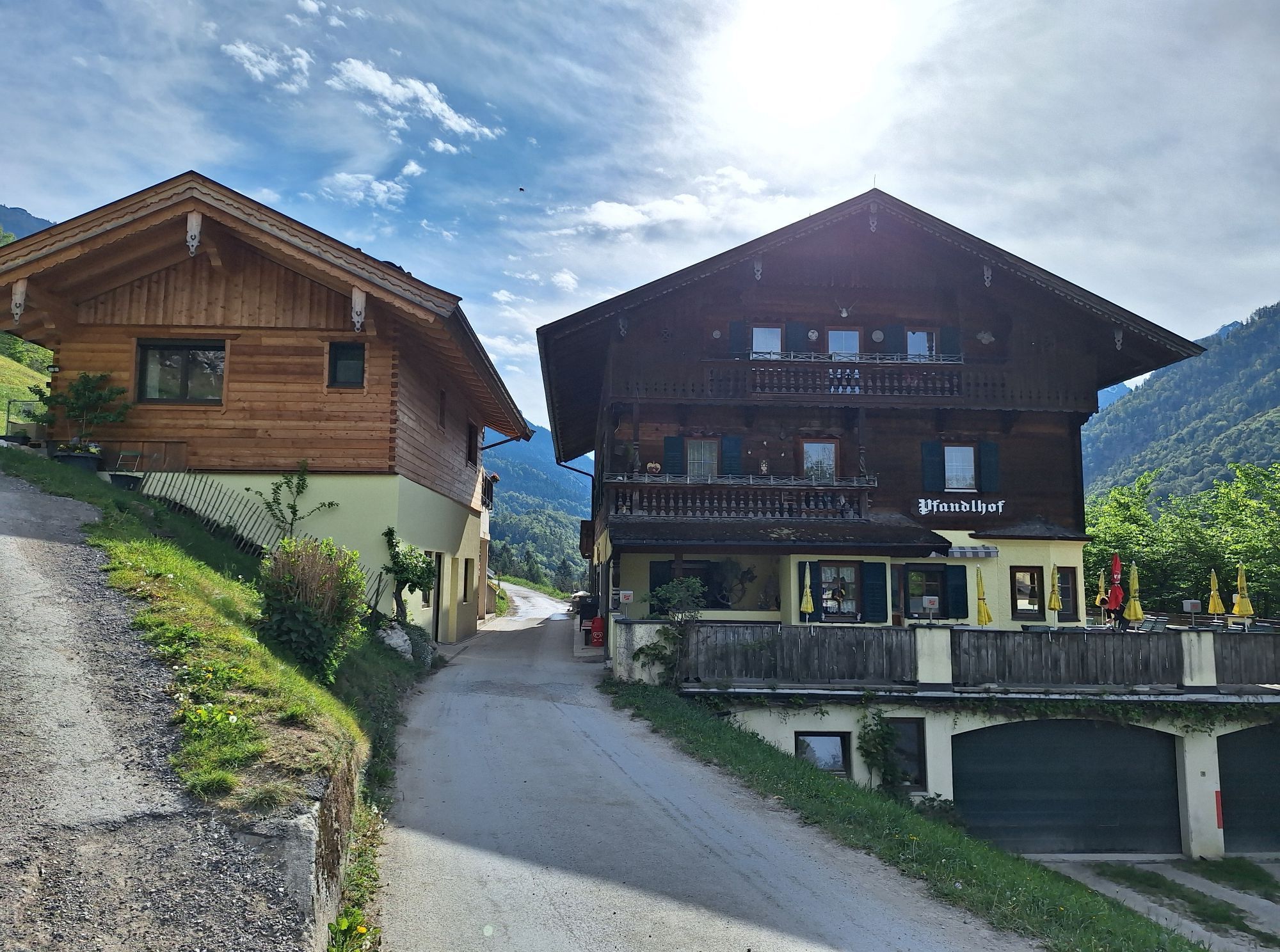
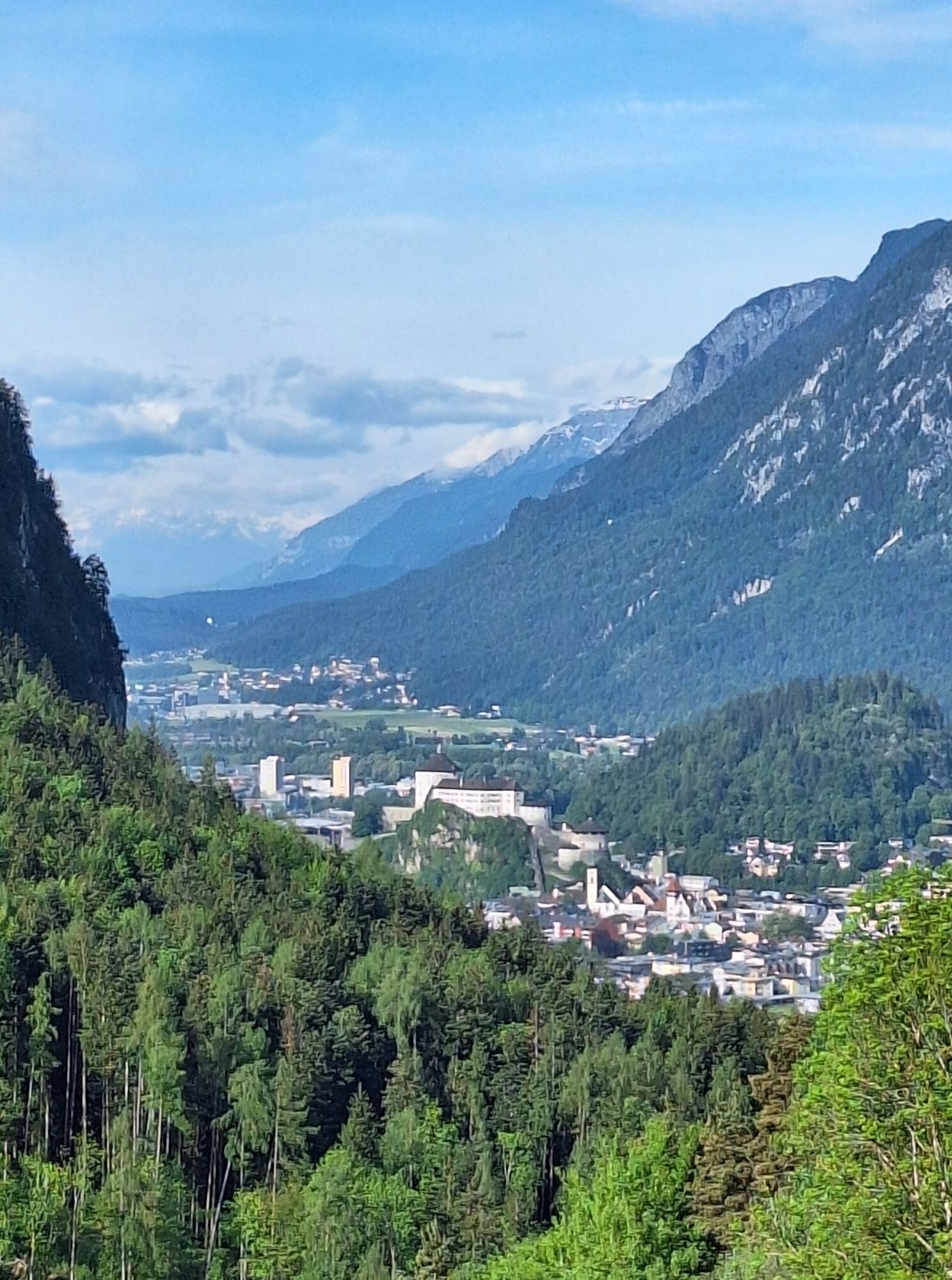
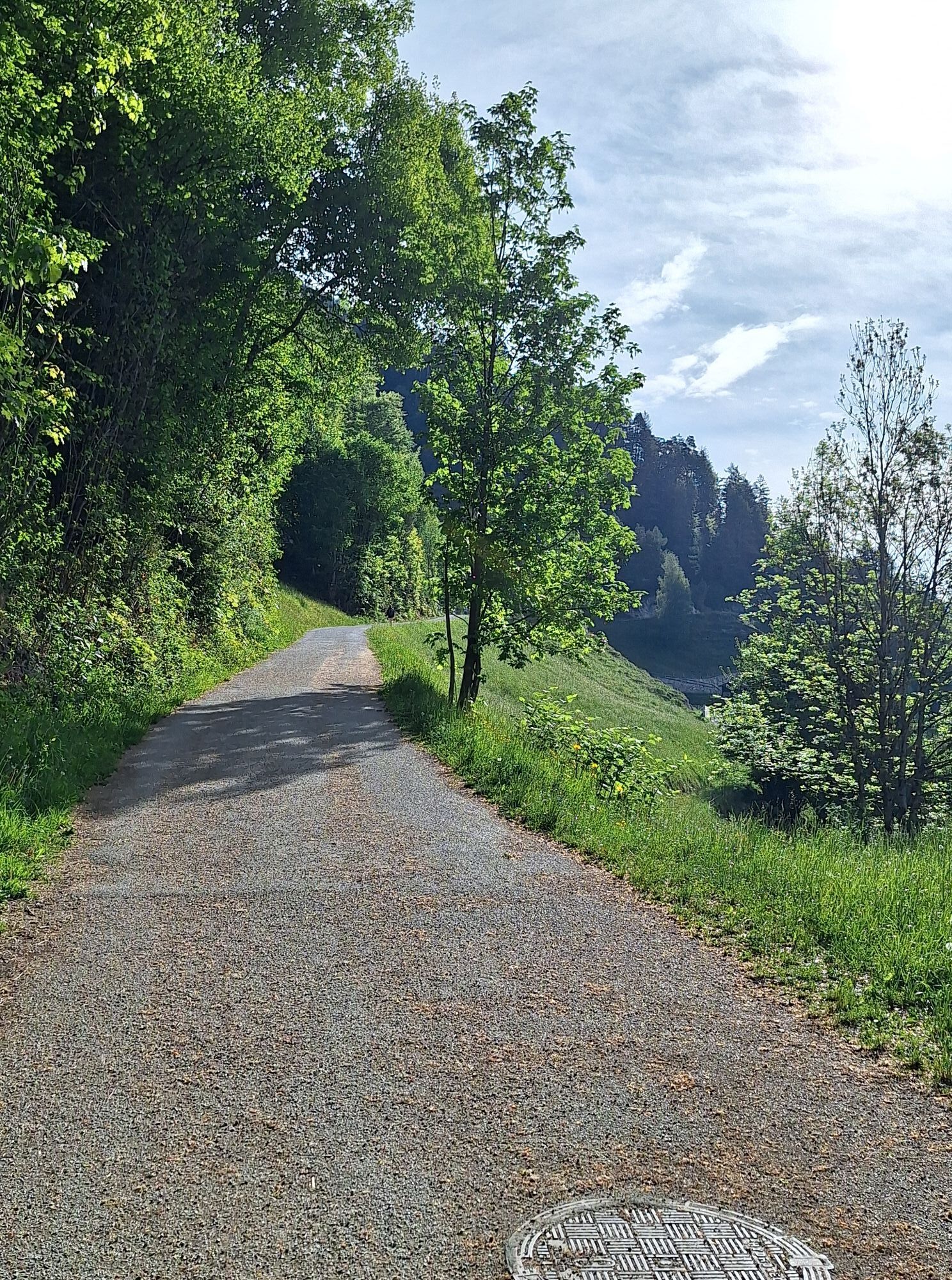
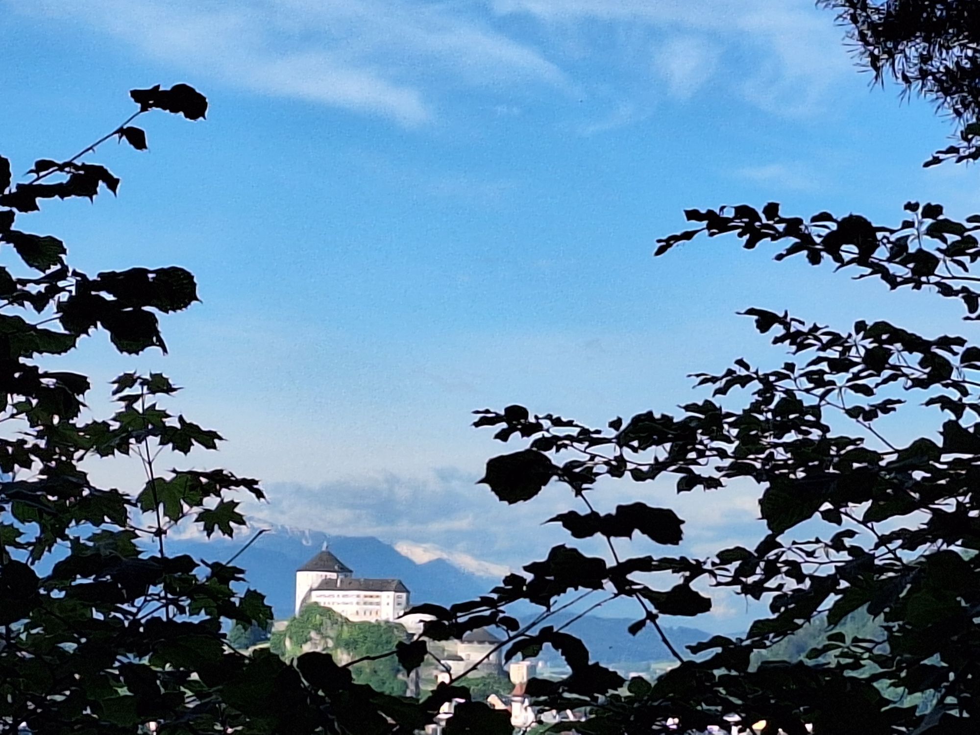
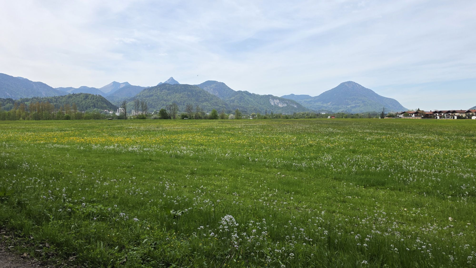
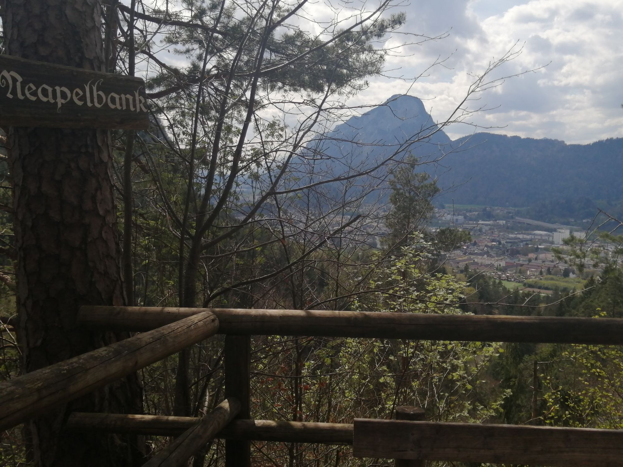
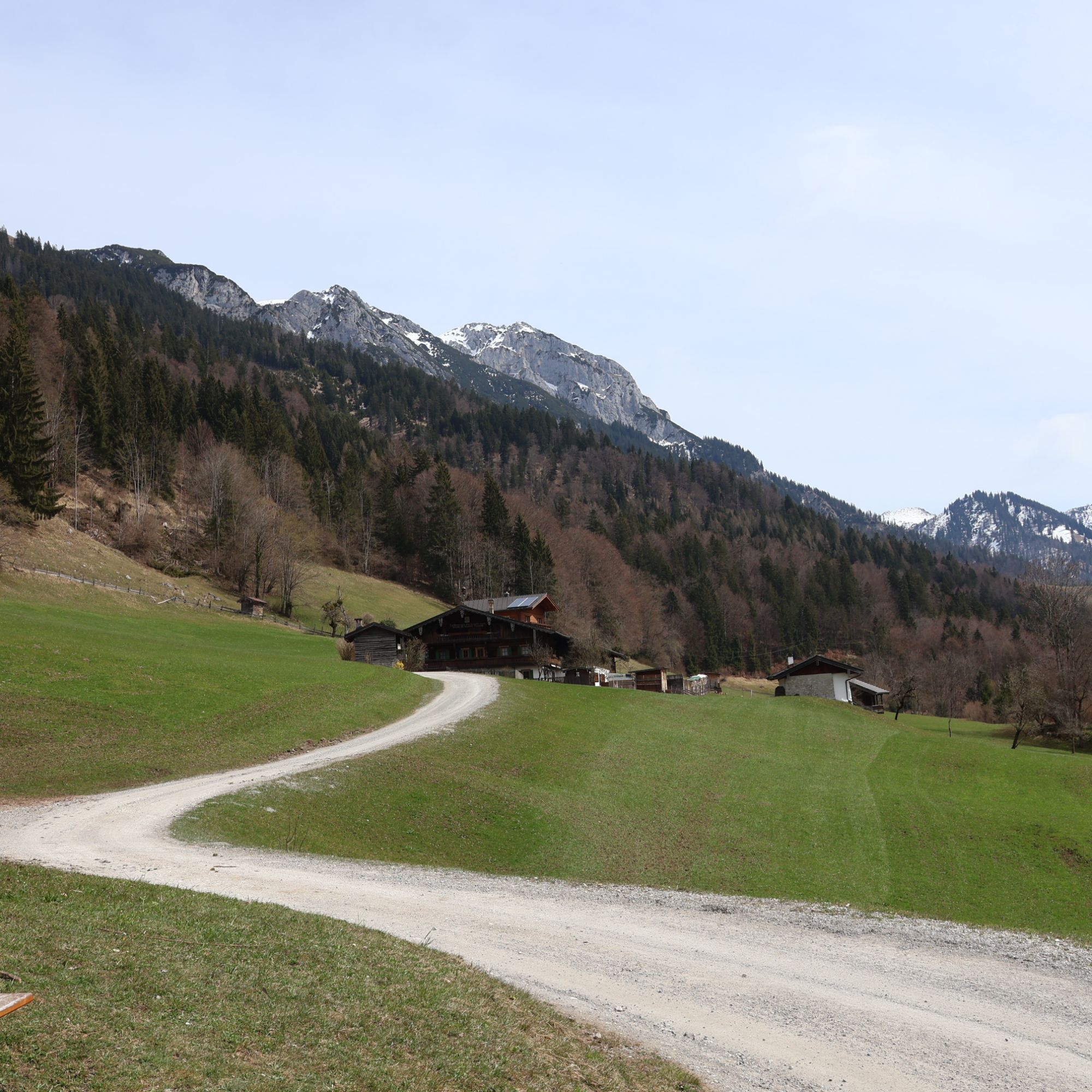
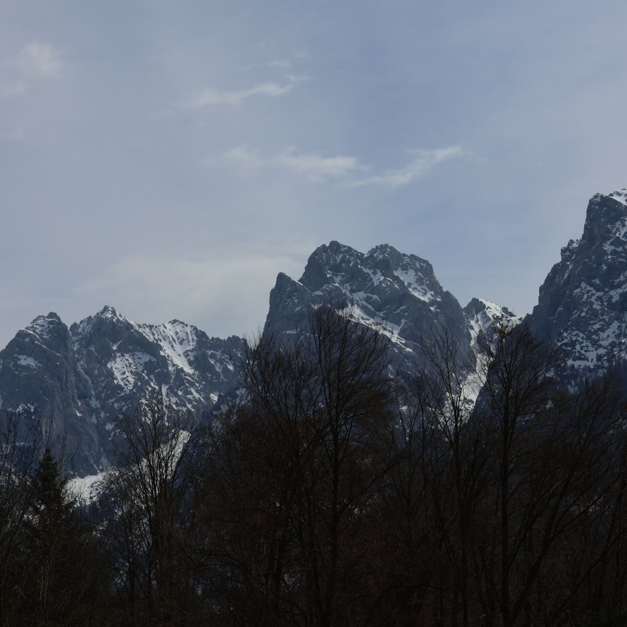
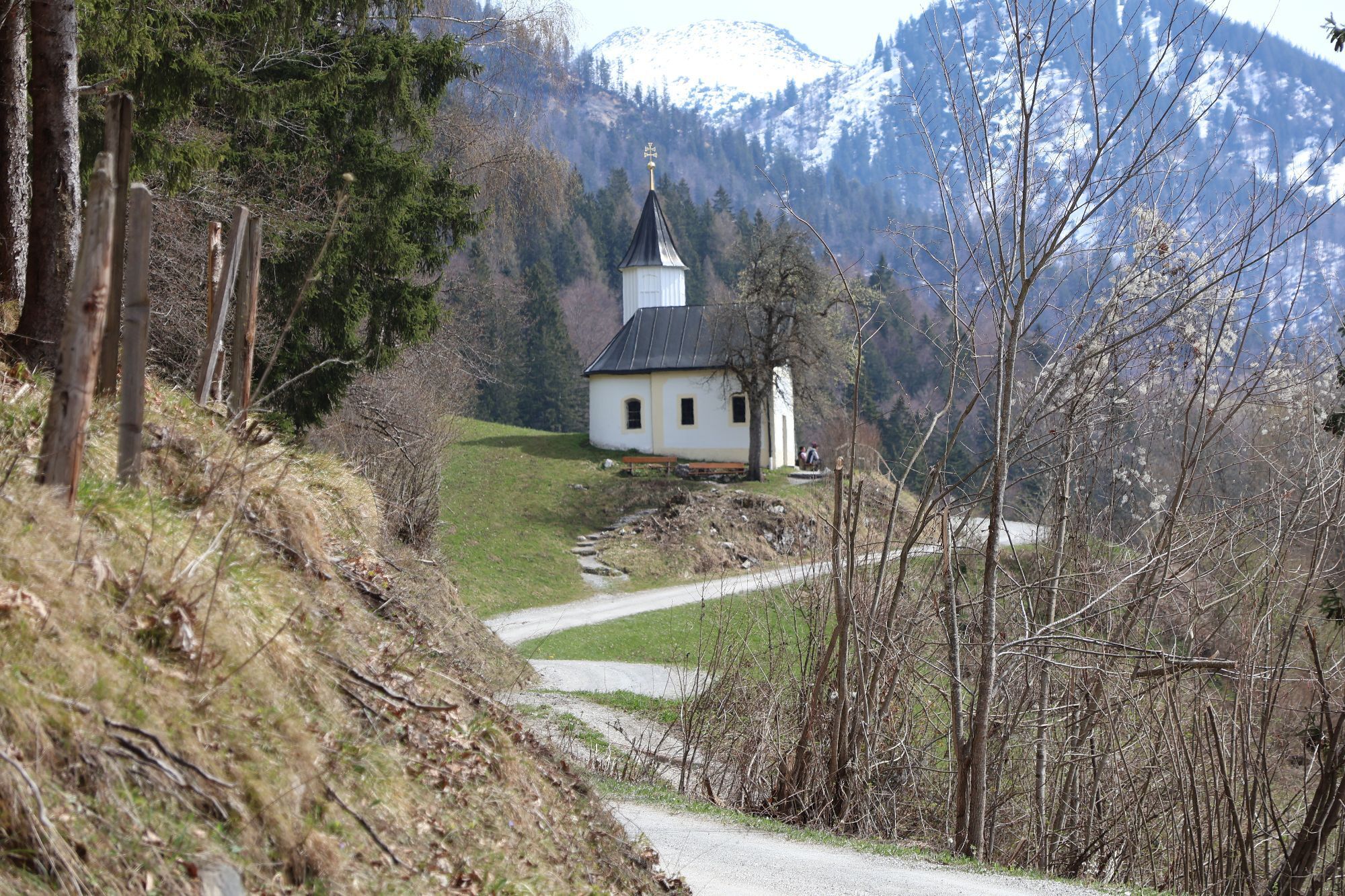

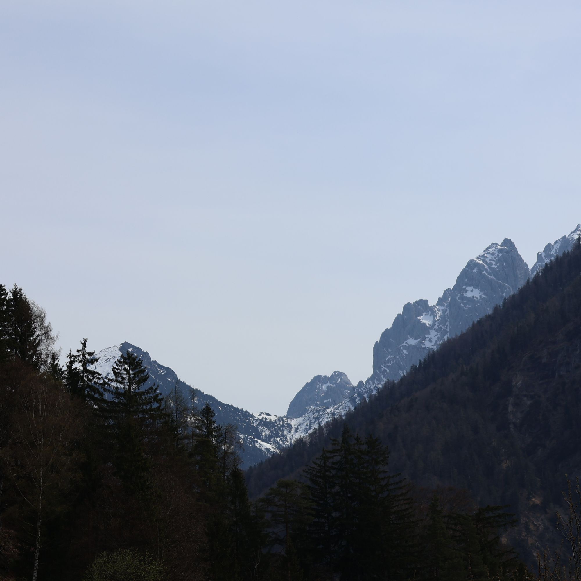
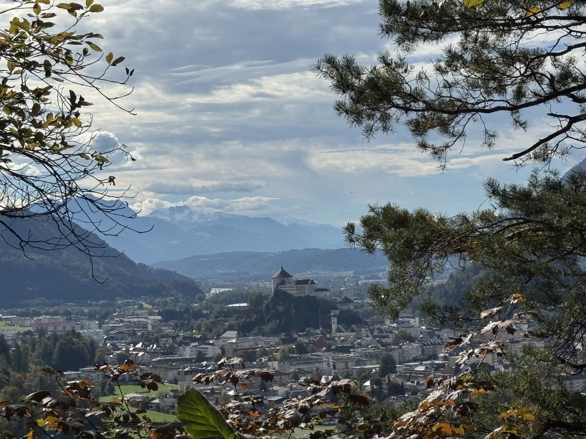
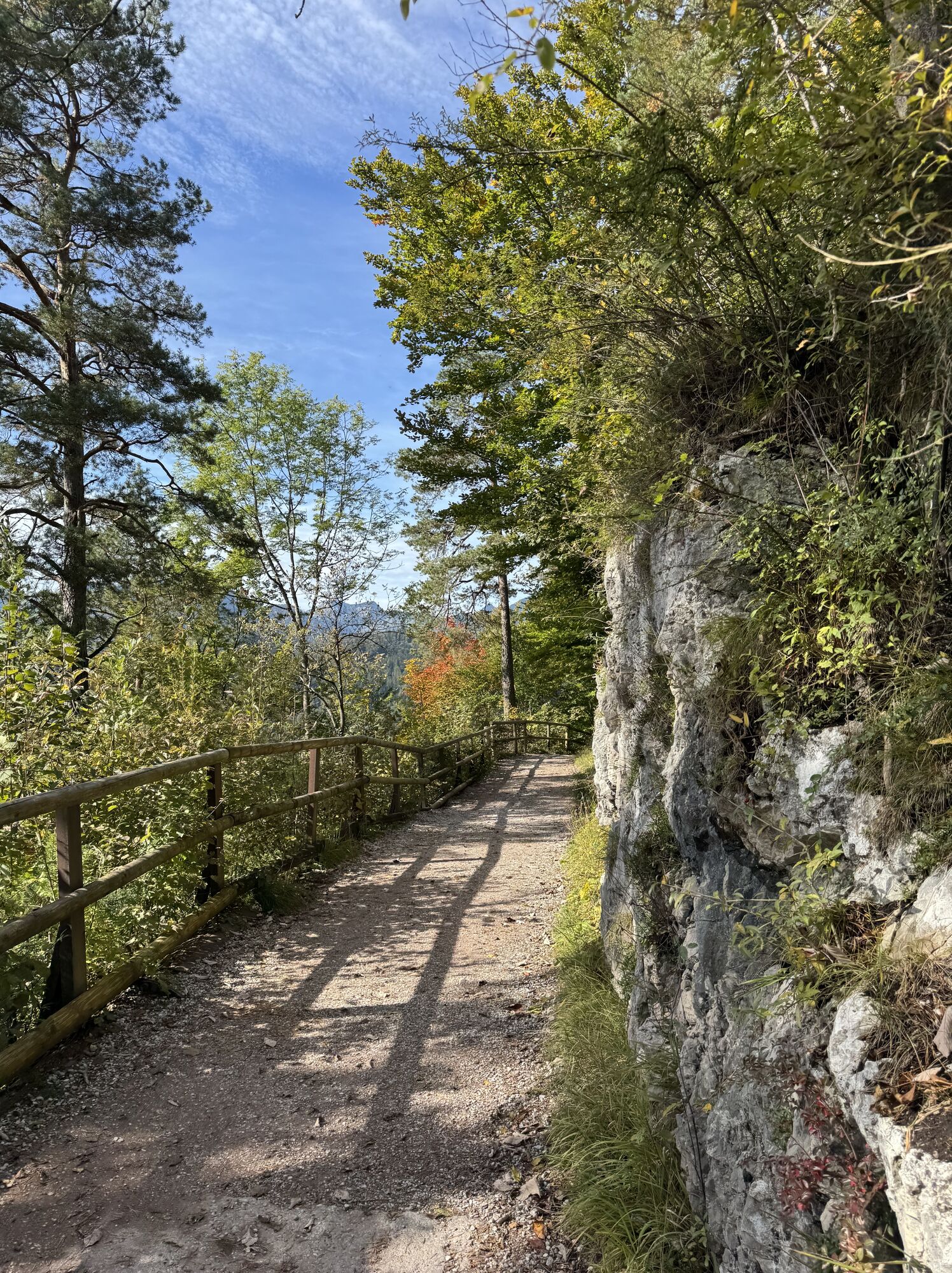
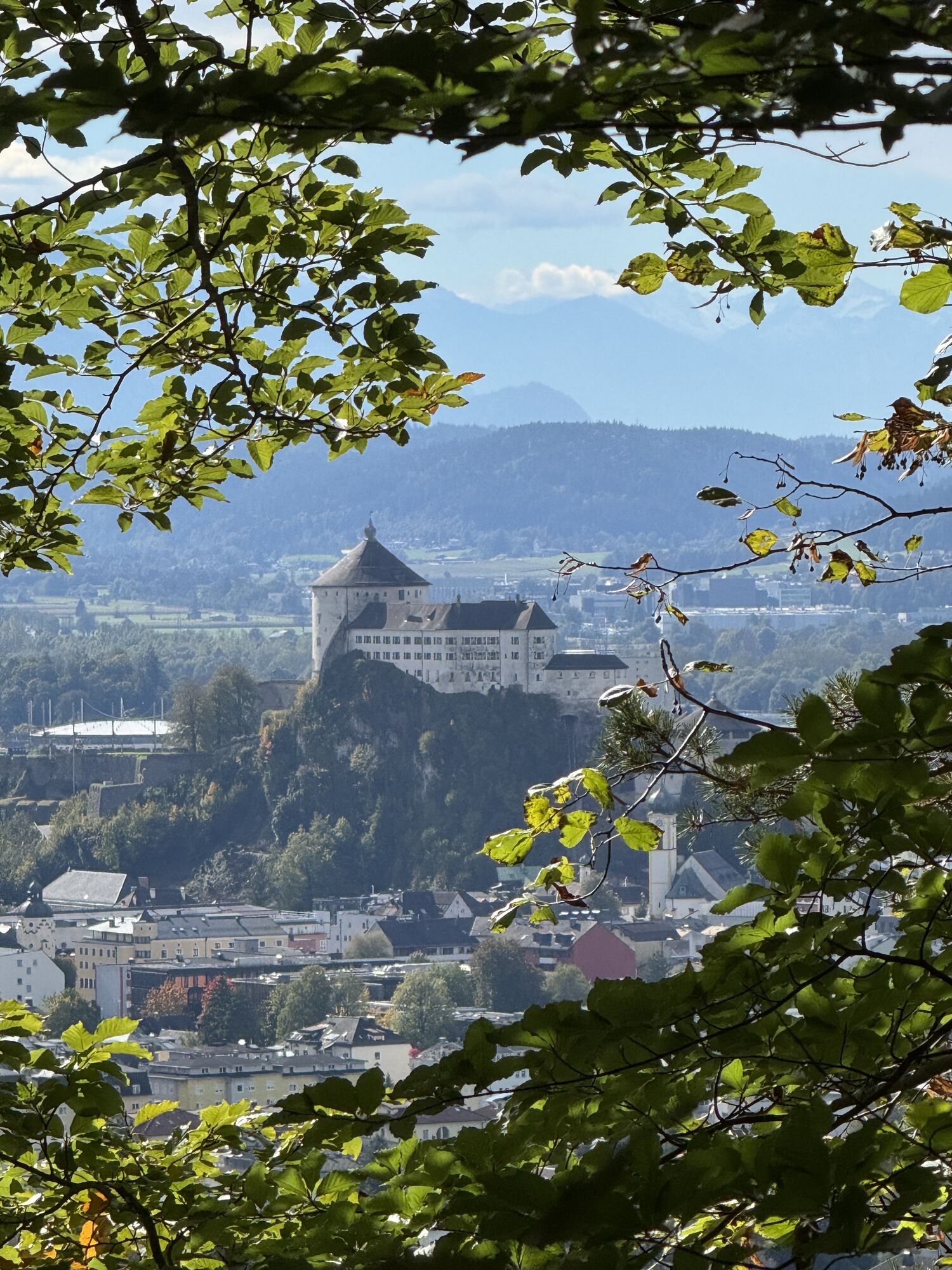
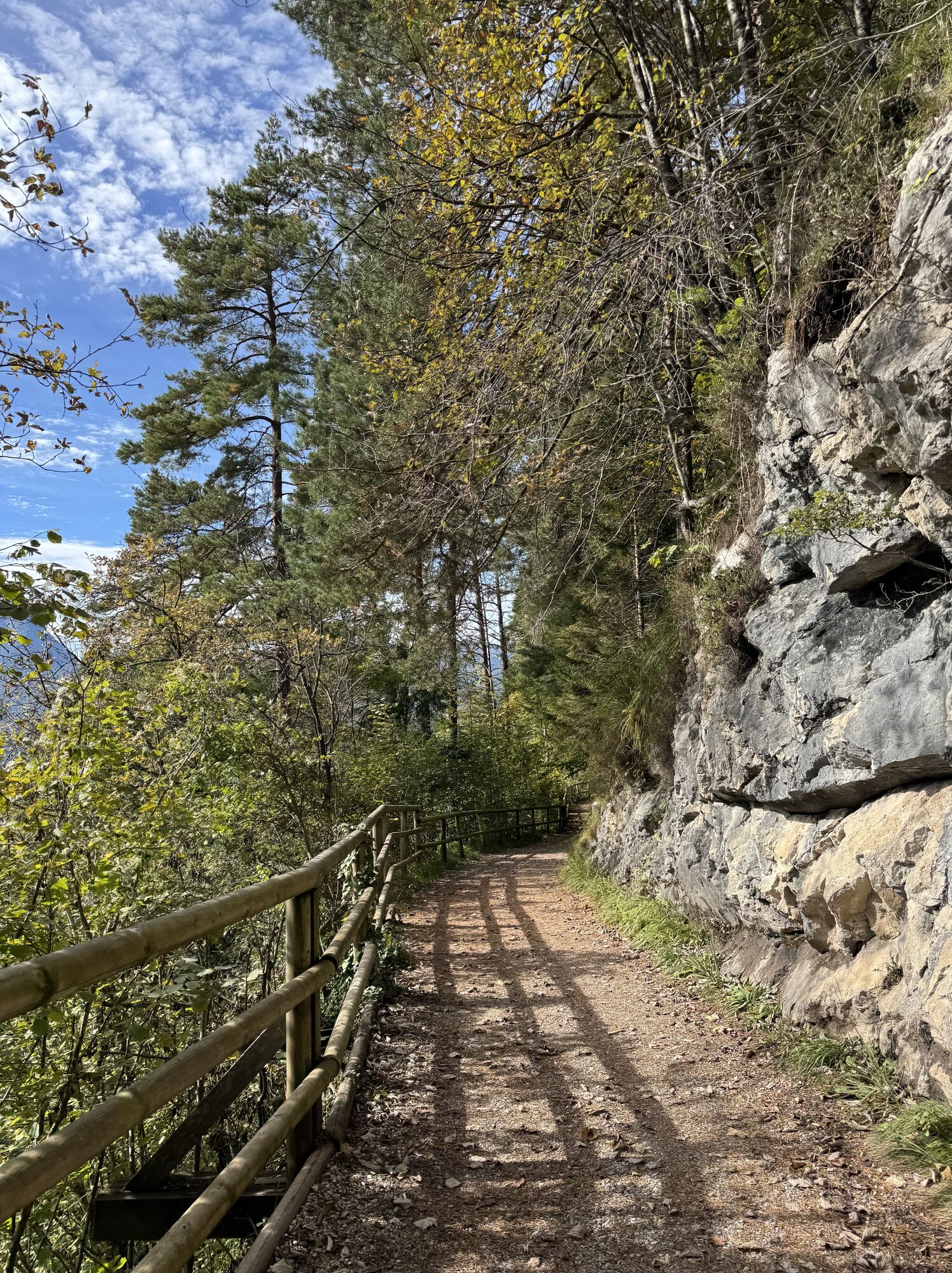
The course starts in the centre of Ebbs and takes you up the Musikantensteig (musician's climb) past the Ritzau Alm to the Vorderkaiserfeldenhütte. From here proceed via the (Höhenweg) alpine trail along...
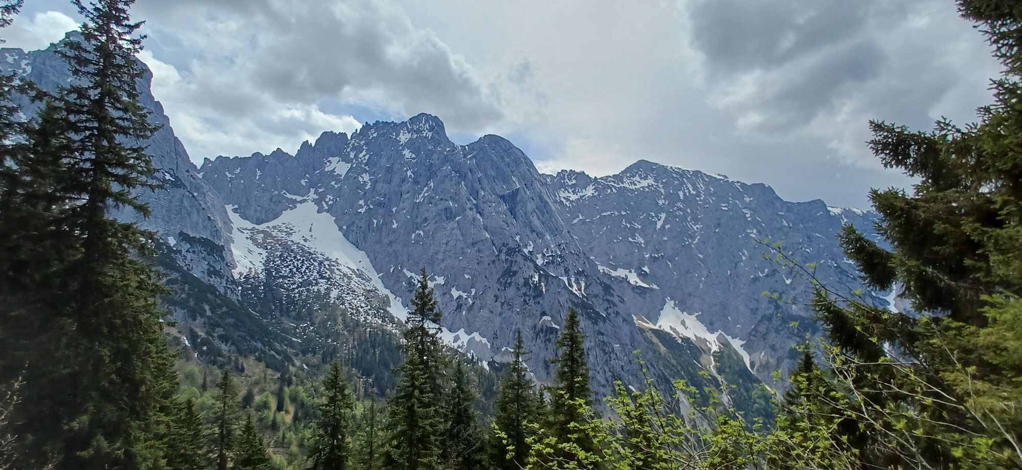
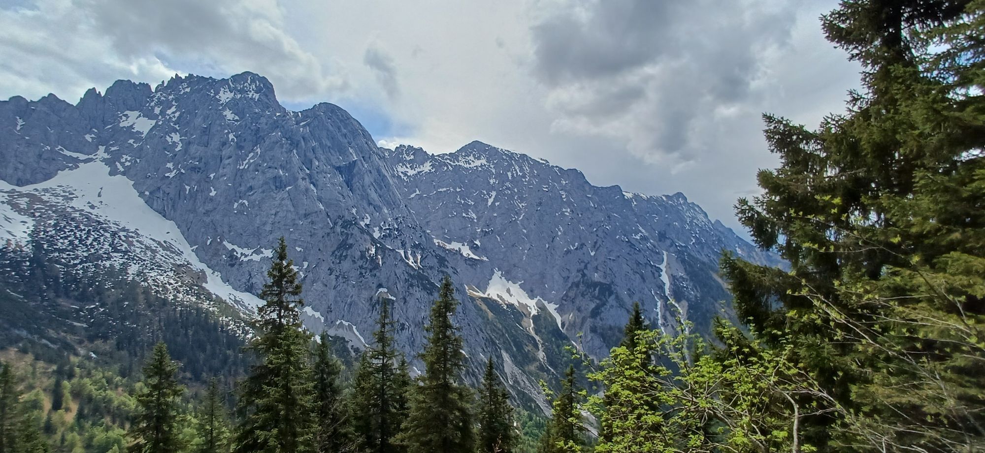
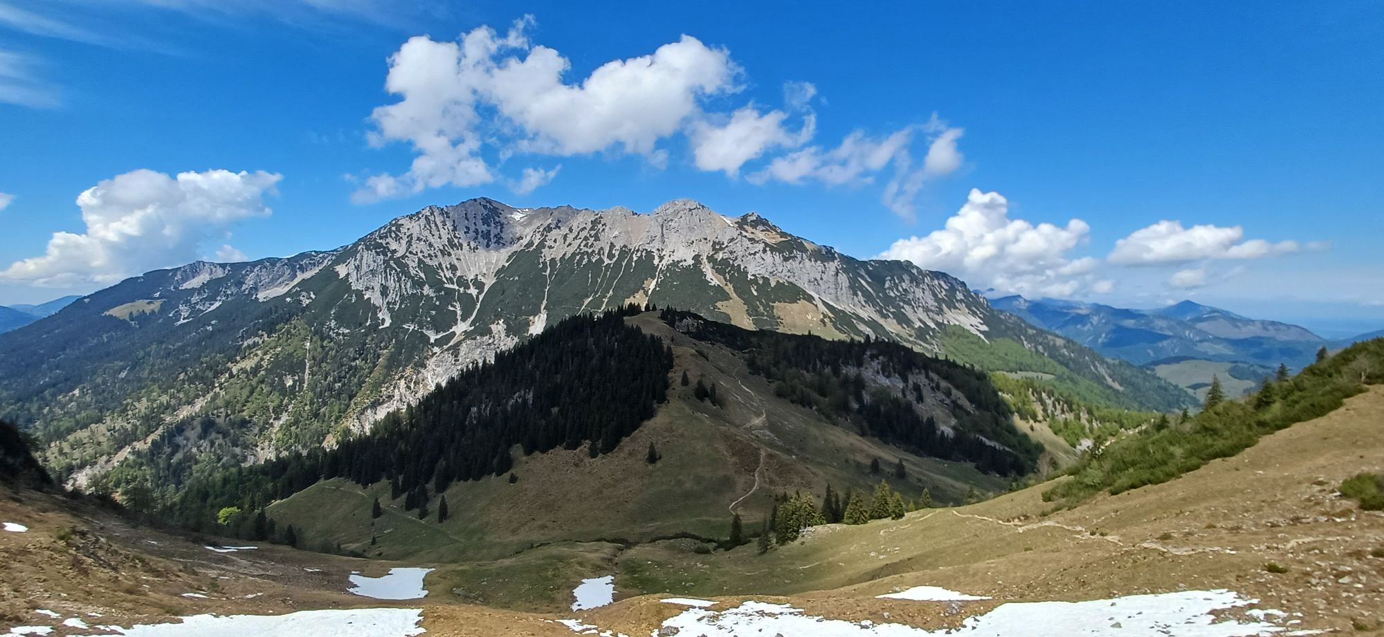
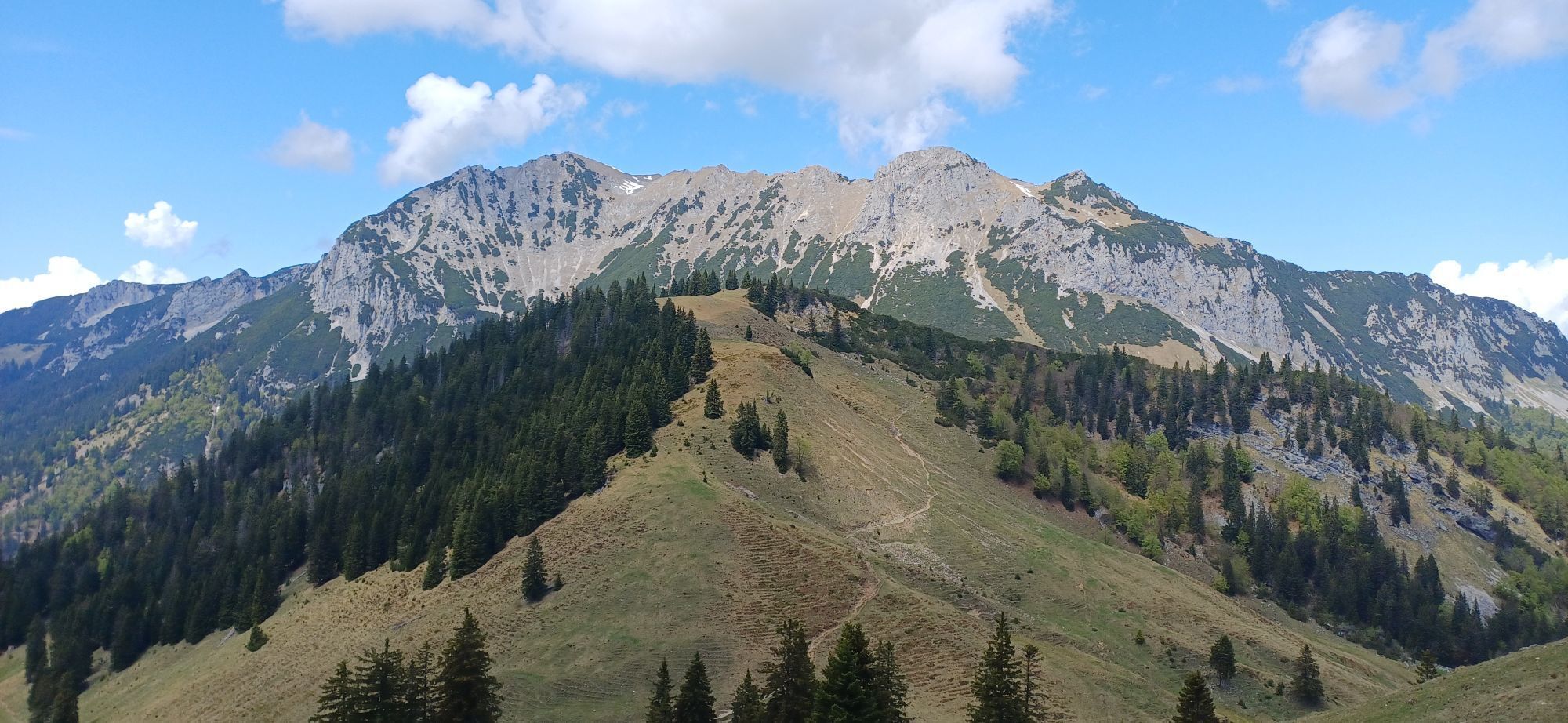
The course starts in the centre of Ebbs and takes you up the Musikantensteig (musician's climb) past the Ritzau Alm to the Vorderkaiserfeldenhütte. From here proceed via the (Höhenweg) alpine trail along the Zahmer Kaiser to the Hochalm (high apline pasture). Participants must be sure-footed as there are a number of scree fields to cross. From the Hochalm we continue to the Stripsenjochhaus (alpine club hut). From there it is only downhill. Follow the steep trail to the Hans Berger House and continue to Hinterbärenbad, also known as Anton Karg House. The rest of the route then runs through the Kaisertal valley, voted the most beautiful place in Austria in 2016, past numerous alpine pastures and inns. After the Sparchenstiege (Kaiseraufstieg), you will then run the last few kilometres at the foot of the Zahmer Kaiser back to Ebbs.

From the Inntal motorway A12 take the Niederndorf/Oberaudorf exit.
Community office or church square, free of charge.
Hol dir den Einblick Immer live vor Ort mit über 9.500 Webcams. In der Touren App von bergfex siehst du als Pro-User jetzt zu vielen Touren die passenden Webcams. So kannst du dir direkt die aktuellen Bedingungen ansehen.


Beliebte Touren in der Nähe
- 4,7
Kirchdorf: Zur geheimnisvollen Teufelsgasse
mittelWanderung 7,90 km - 5,0
Priener Hütte
mittelWanderung 7,99 km - 4,8
Gruttenhütte über Klammlweg
mittelWanderung 5,61 km - 4,8
Ellmauer Tor (22.07.2020)
mittelWanderung 9,32 km - 4,9
Schleierwasserfall Runde
mittelWanderung 5,63 km - 5,0
Stripsenjoch Klettersteige/ Rundwanderung von Griesener Alm über Stripsenjochhaus und Feldberg
mittelKlettersteig 10,2 km - 4,7
Musikantensteig zur Naunspitze
mittelWanderung 8,96 km - 4,6
Hintersteinersee
mittelWanderung 9,87 km - 4,6
Geigelstein
mittelWanderung 14,5 km - 4,5
Wanderung: Spitzstein und Altkaseralm von Sachrang
mittelWanderung 4,03 km
Wandern & Tracking


Verpasse keine Angebote und Inspirationen für deinen nächsten Urlaub
Deine E-Mail-Adresse wurde in den Verteiler eingetragen.





