





Across the meadow slopes of the Semmelkopf

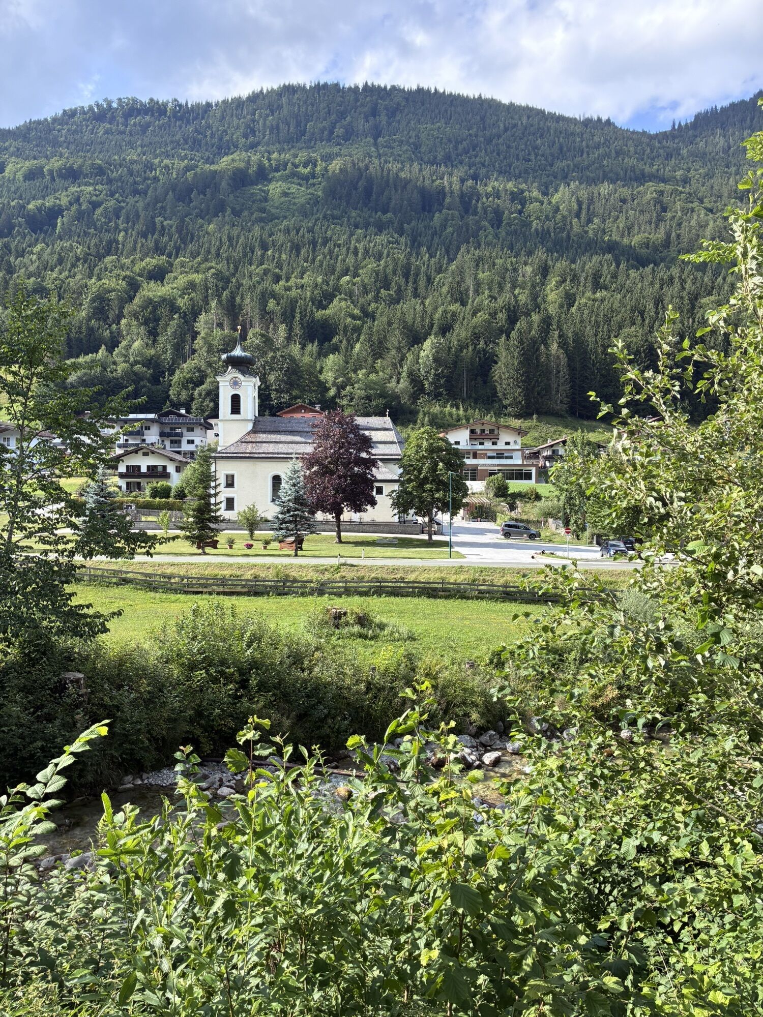
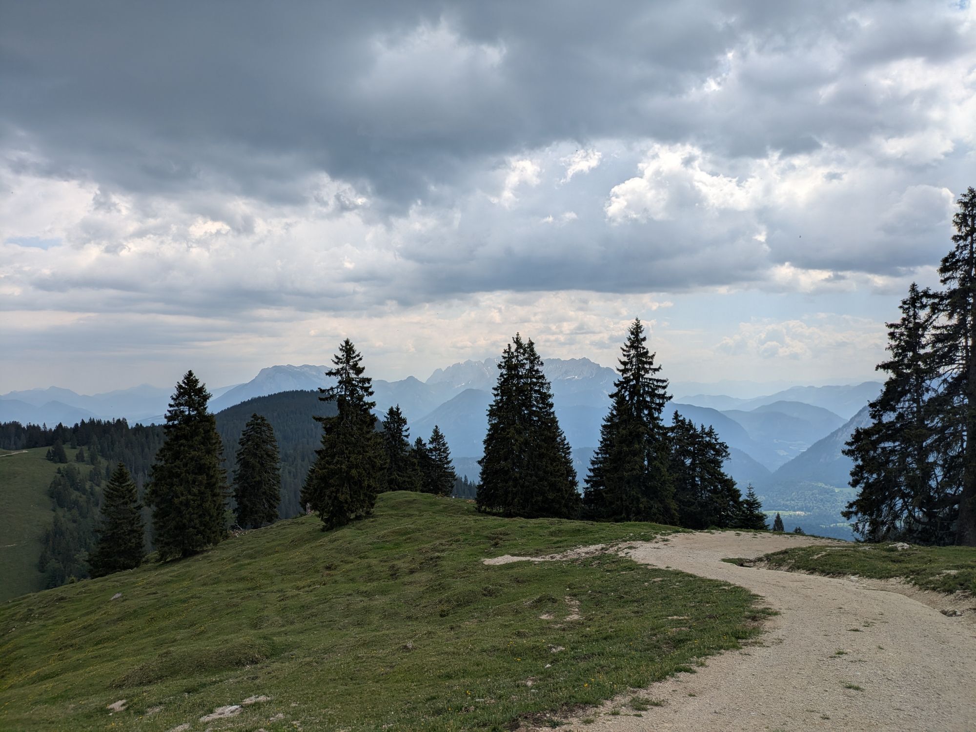
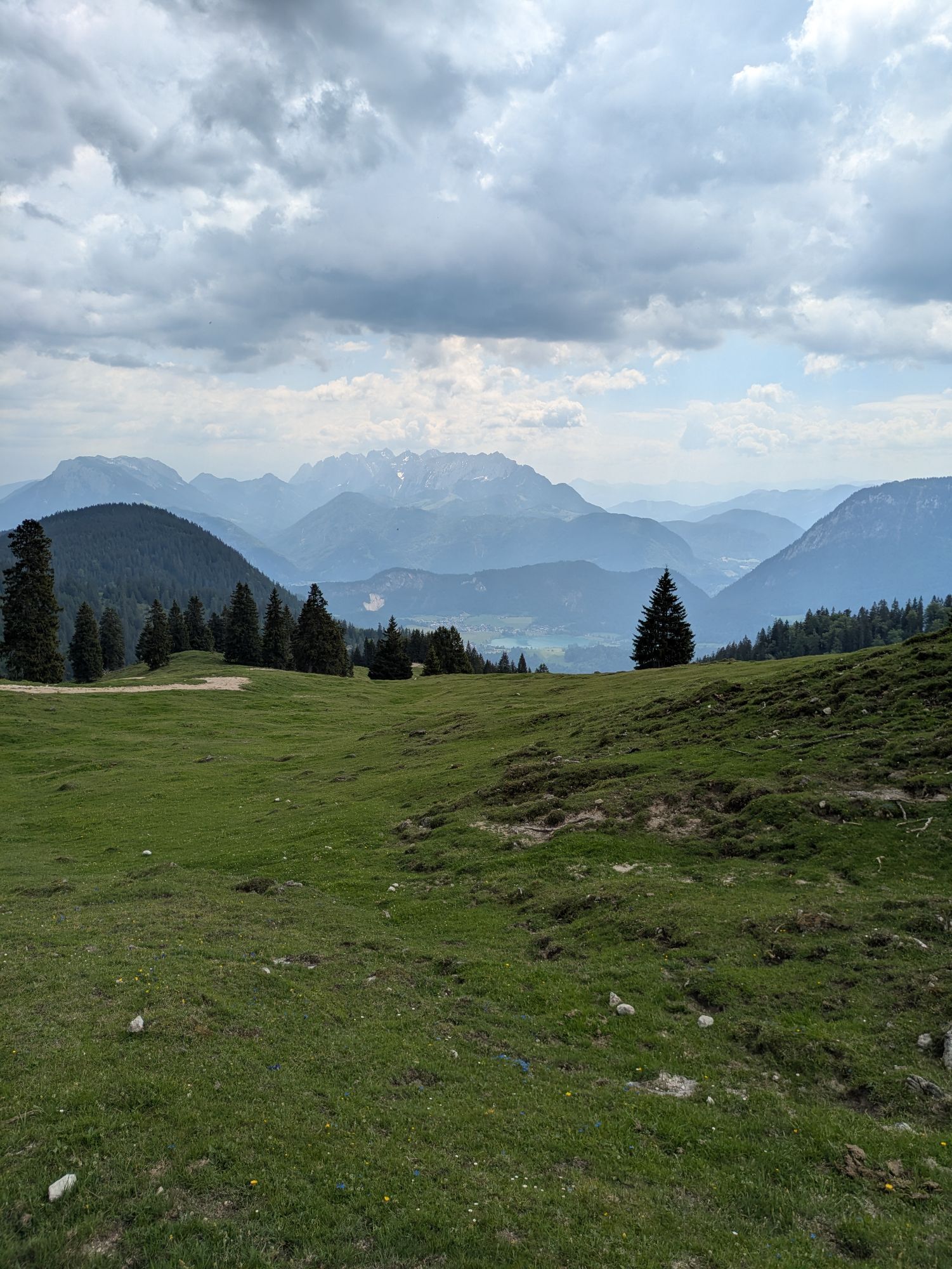
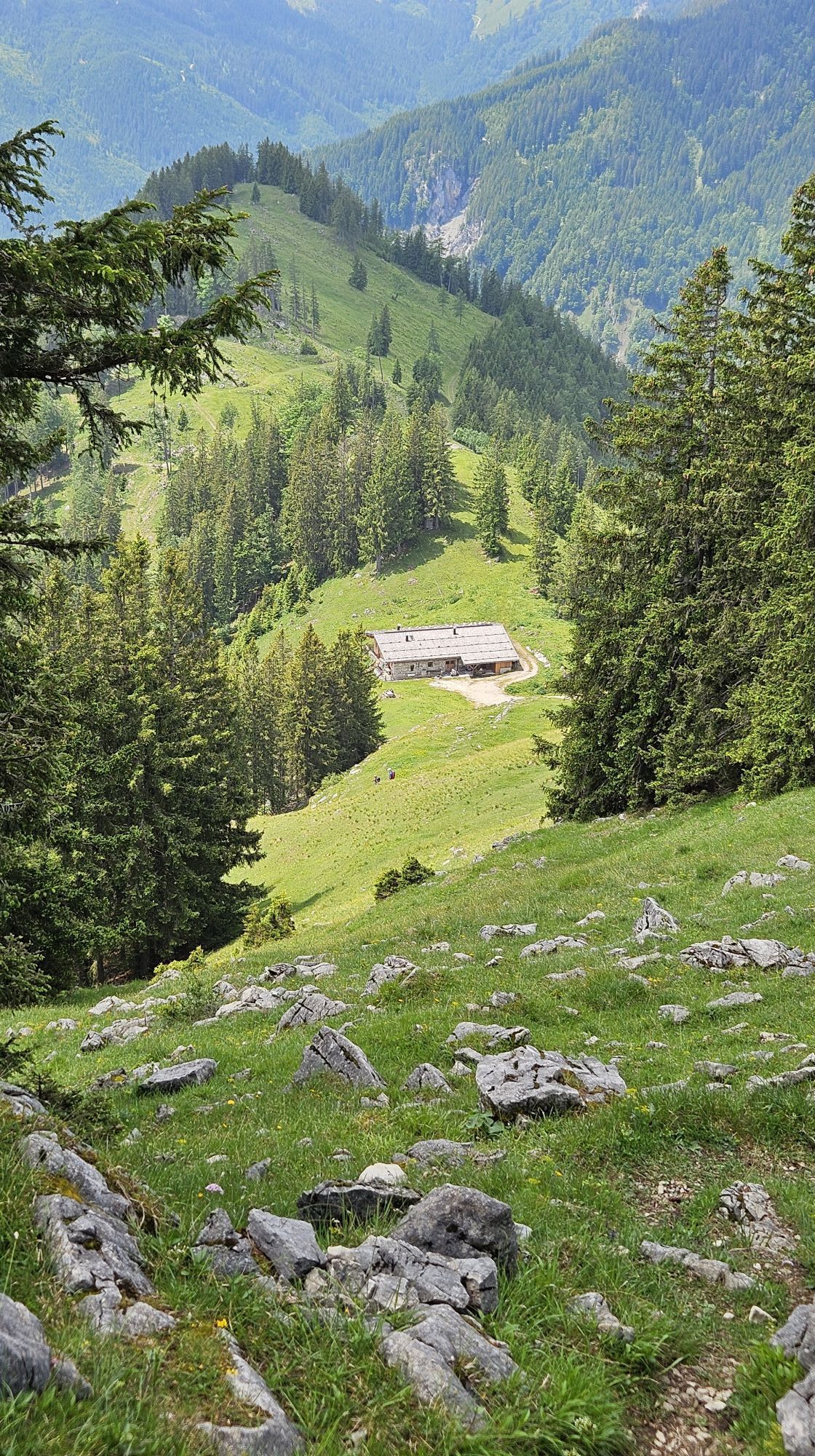
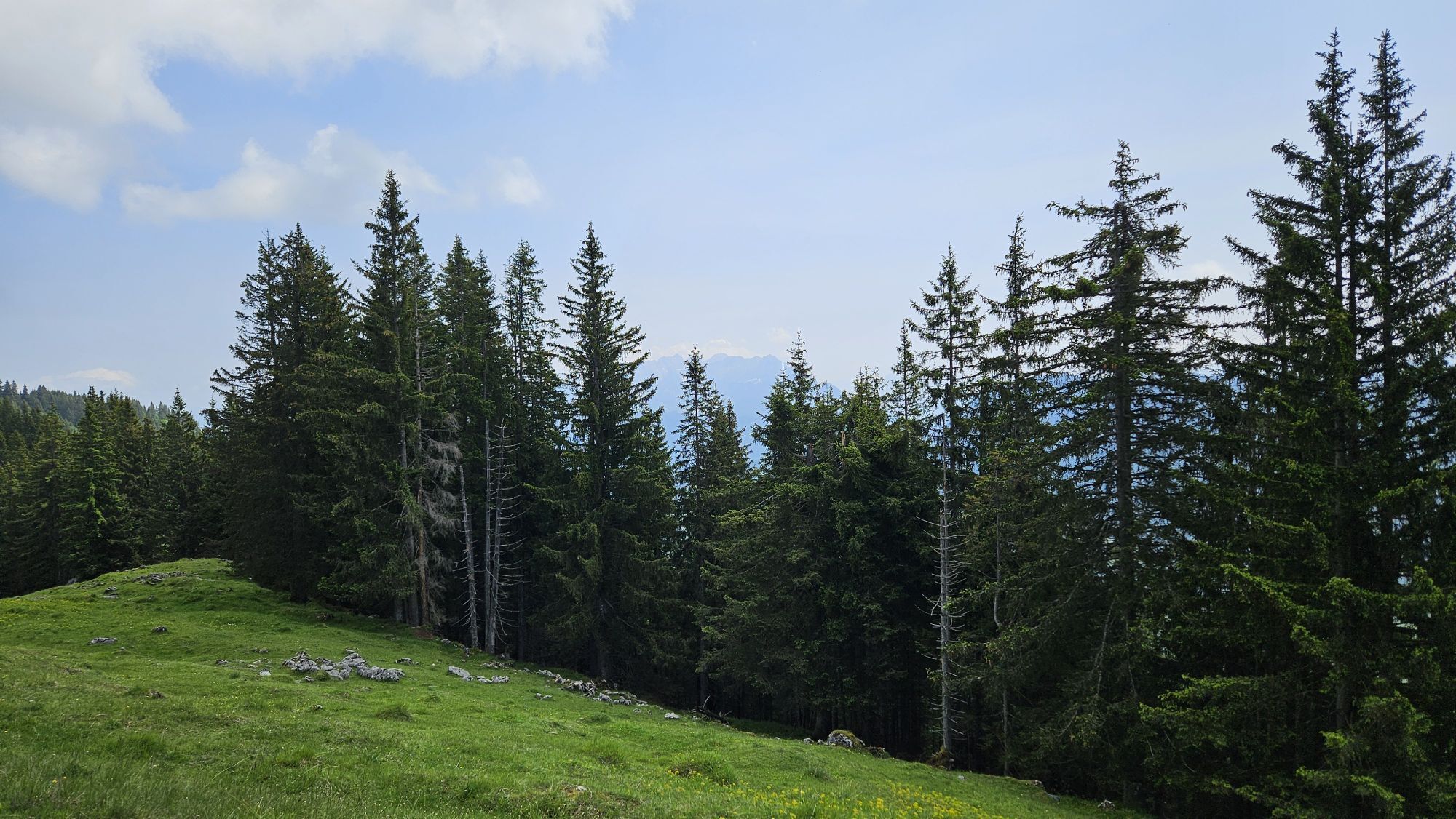
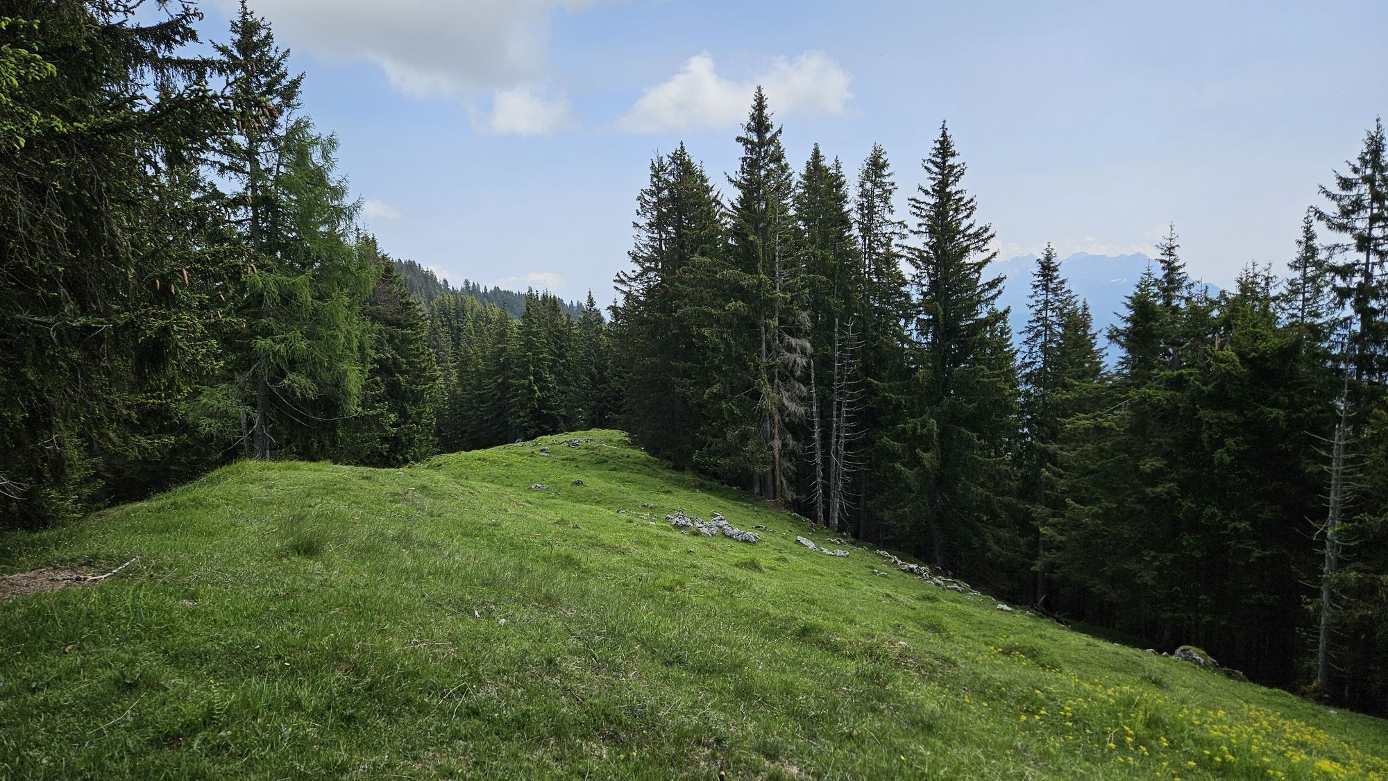
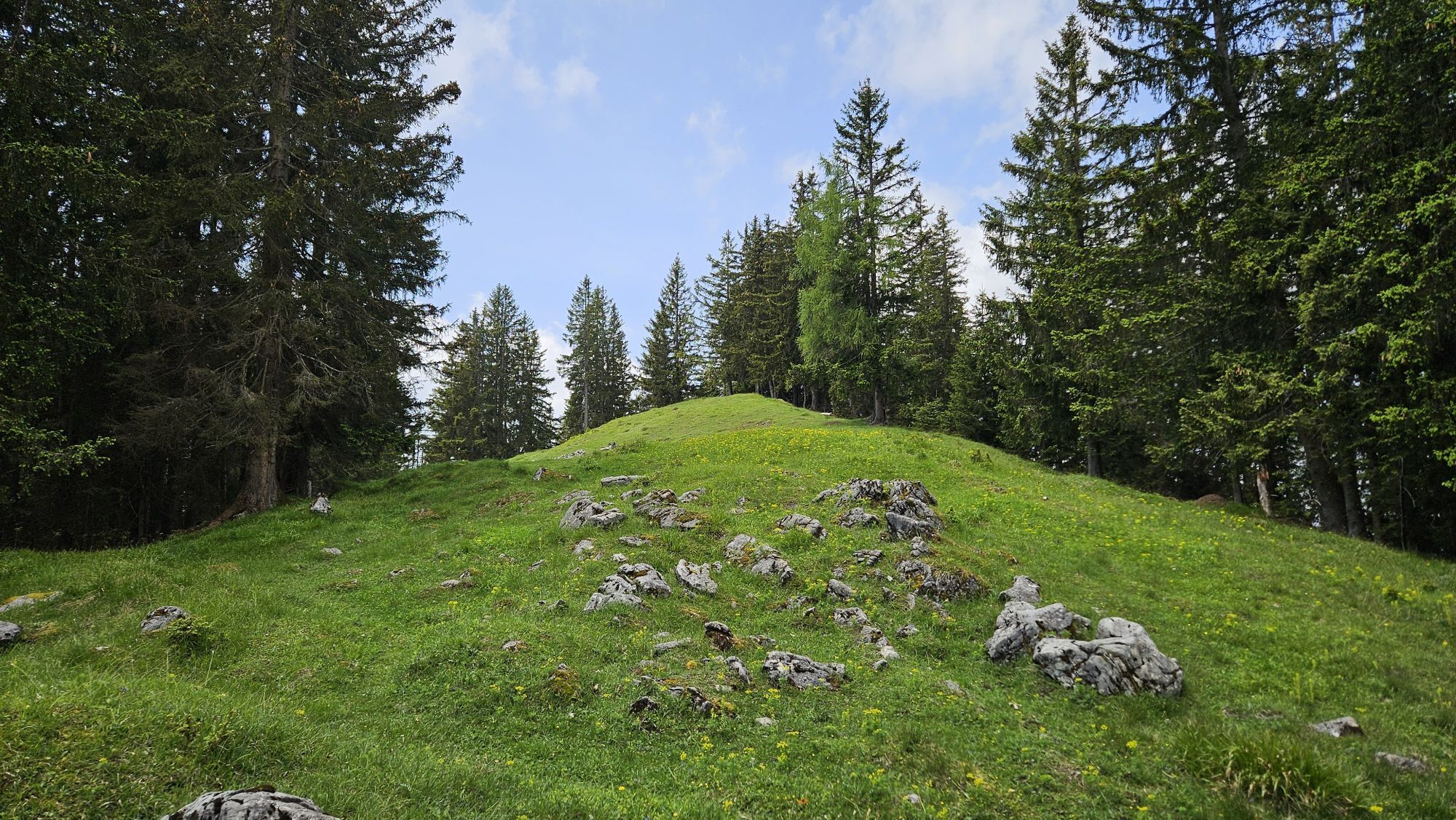
Those who would like to admire the Trainsjoch, which is nevertheless more frequently visited, from the lonelier, opposite ridge and at the same time enjoy Kaiser views, are in the right place here. A scenic,...
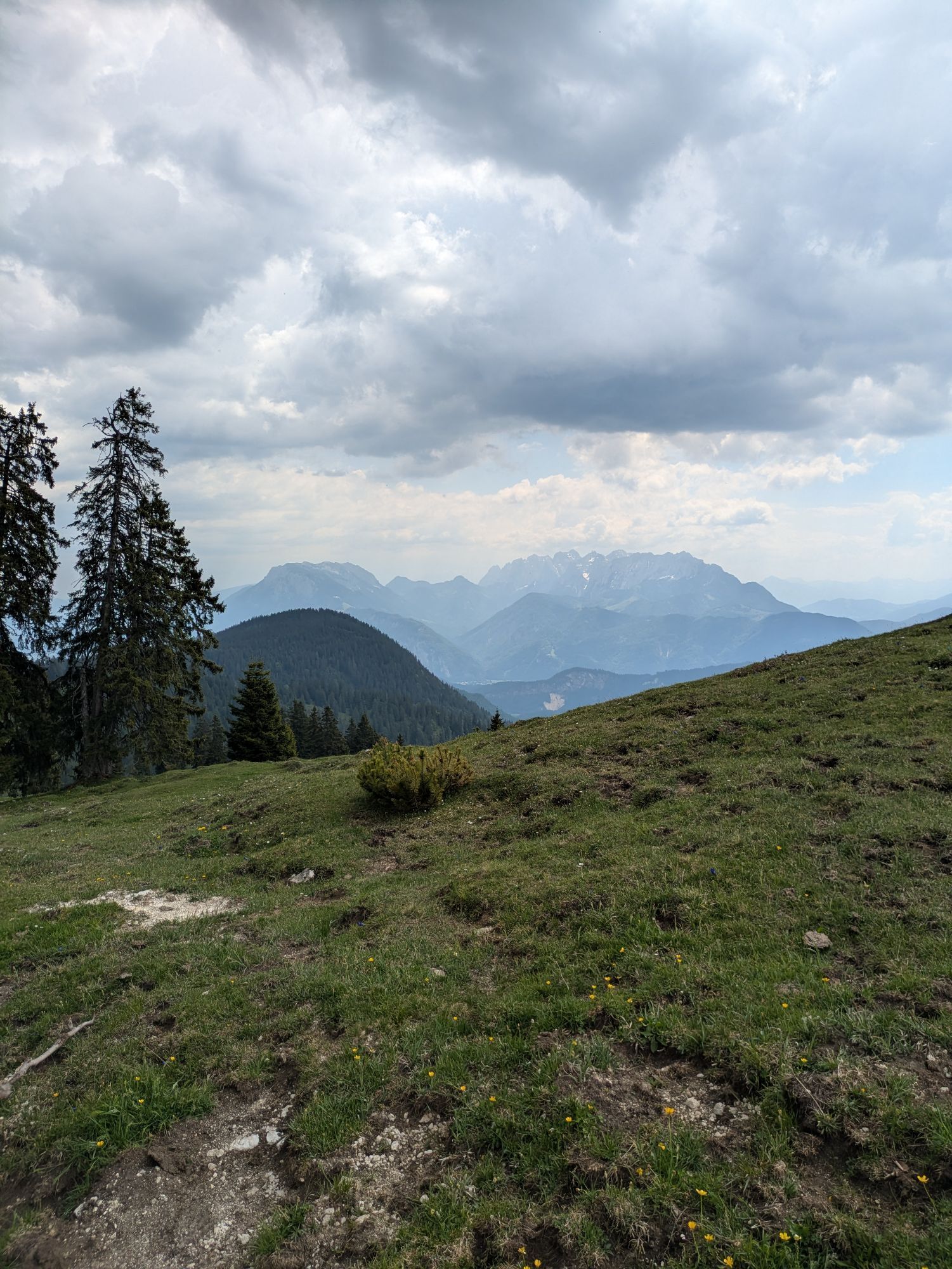
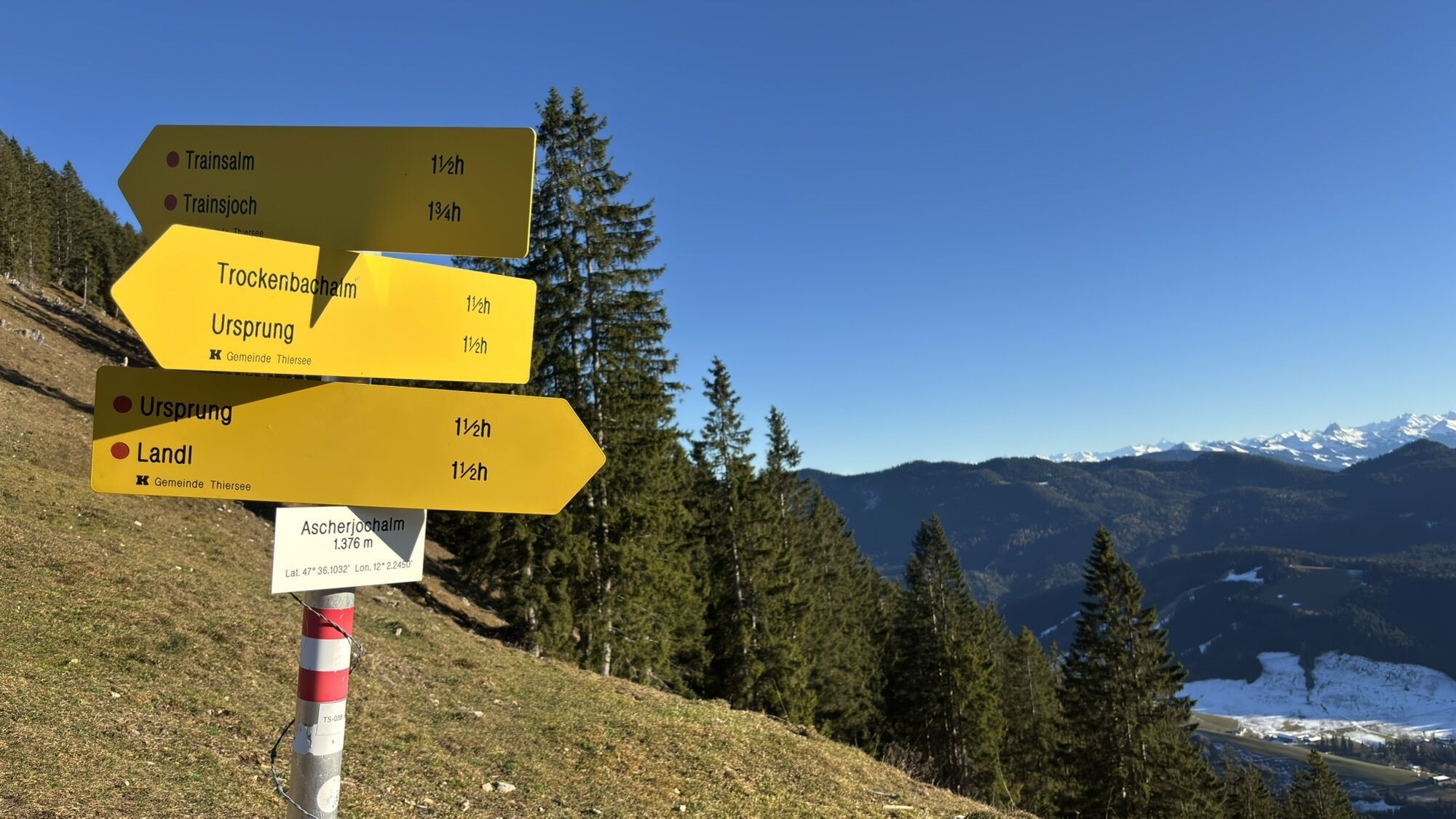
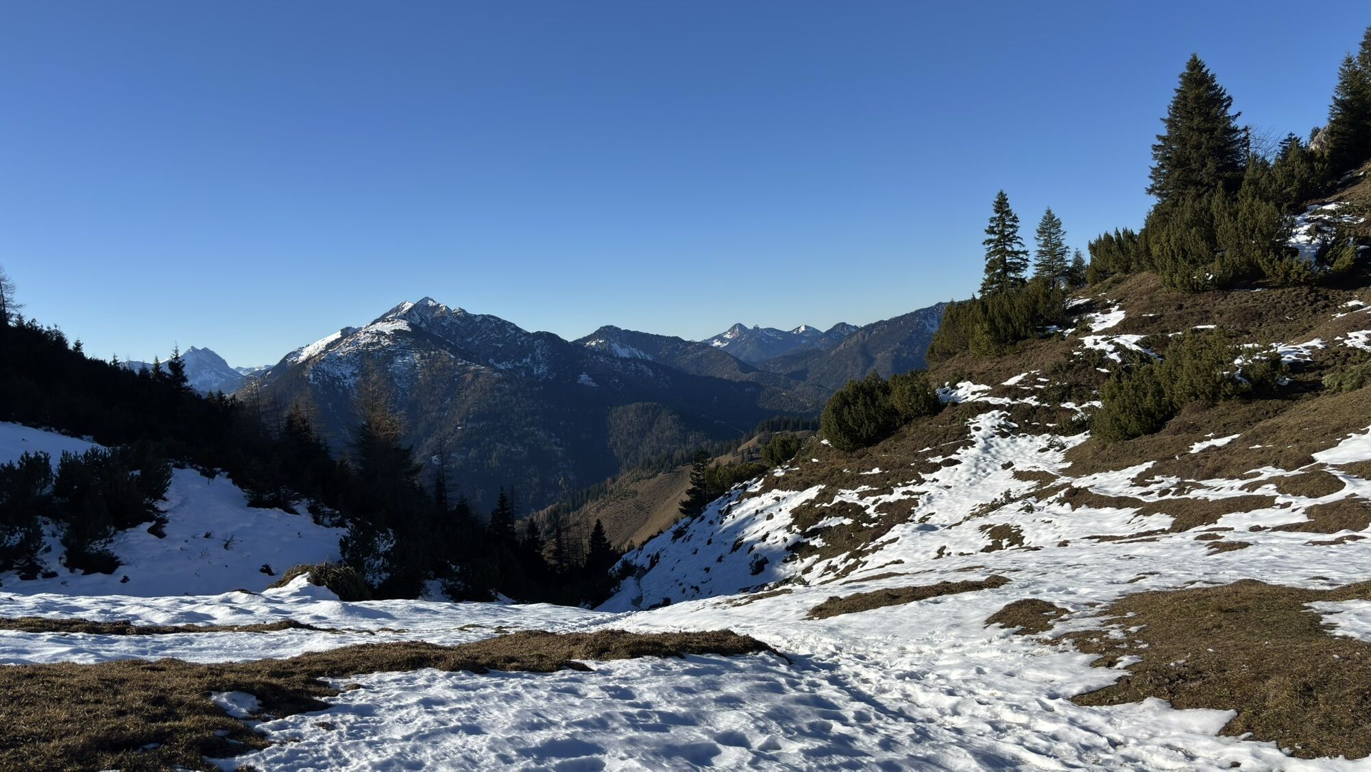
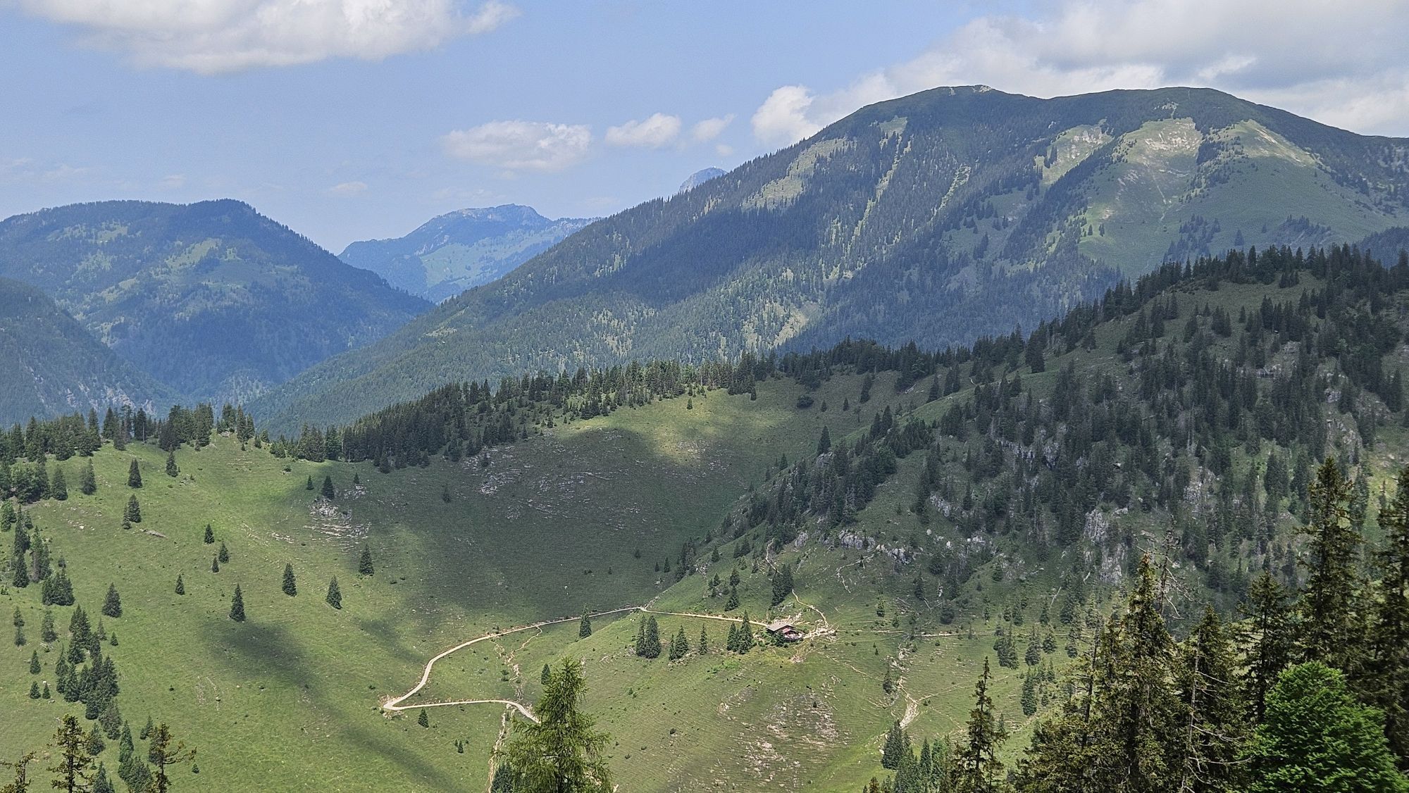
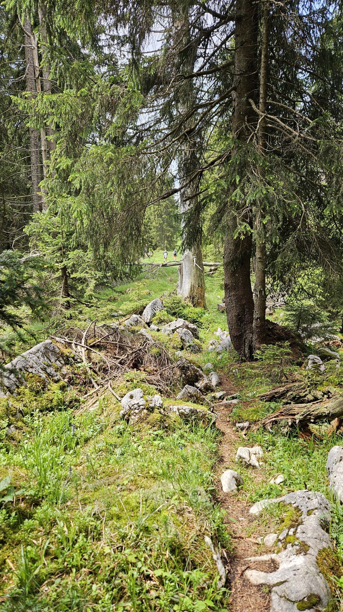
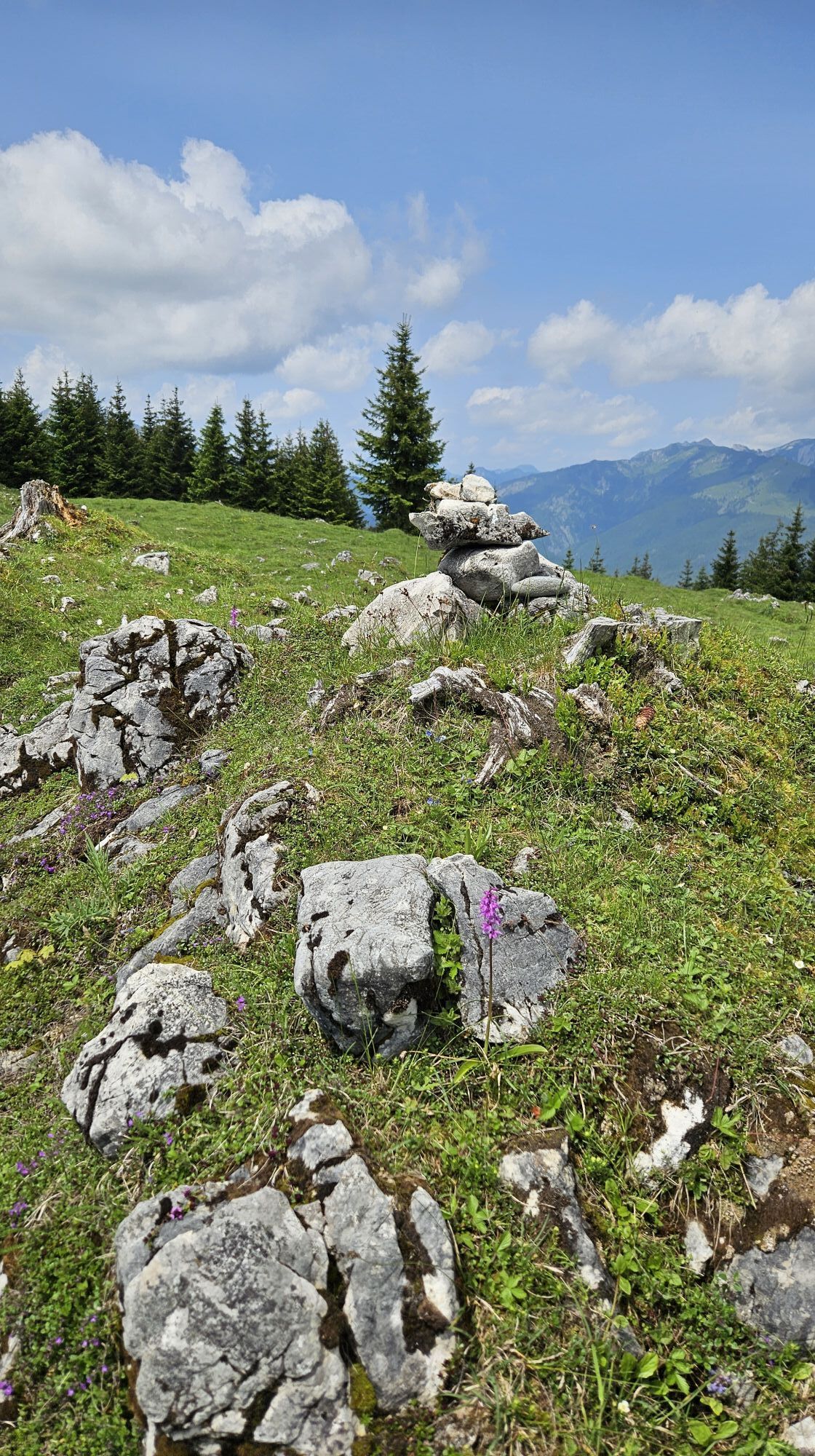
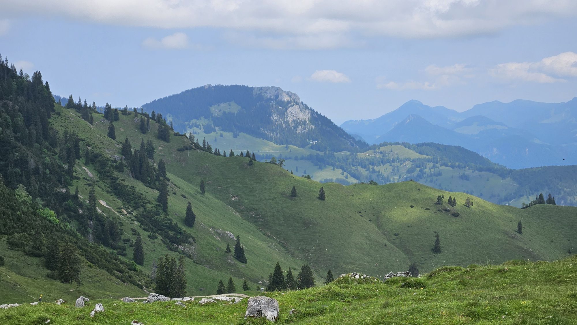
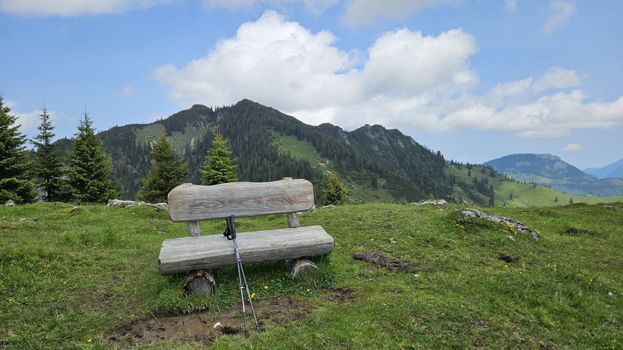
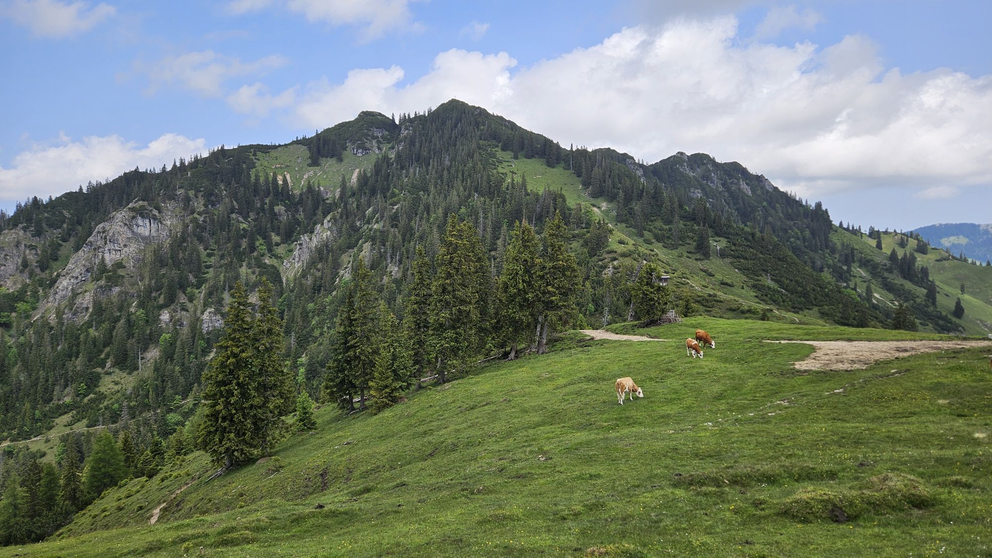
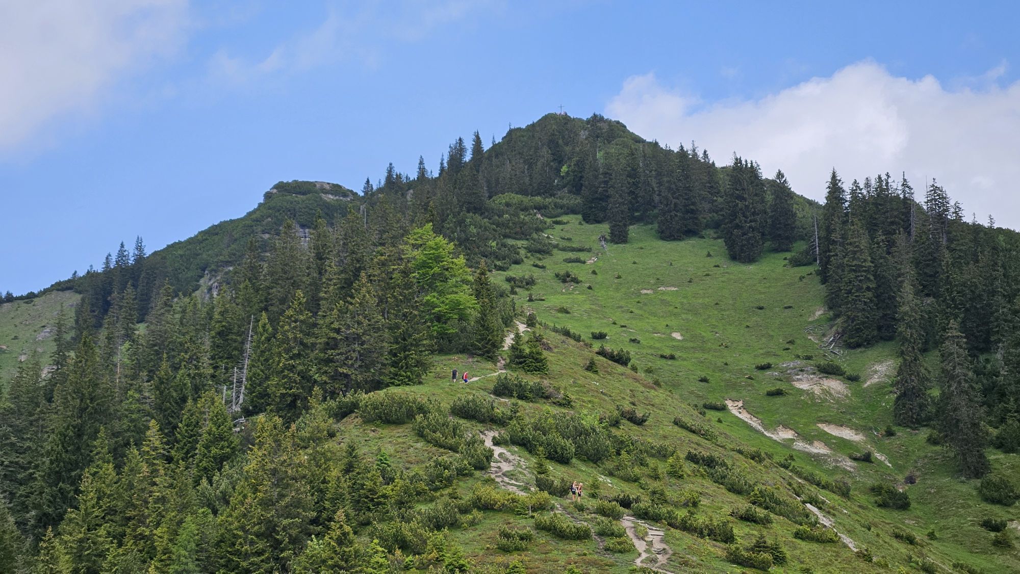
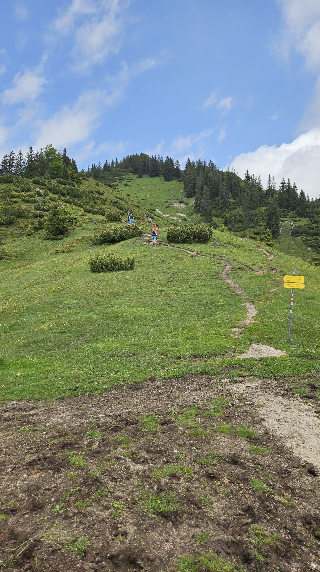
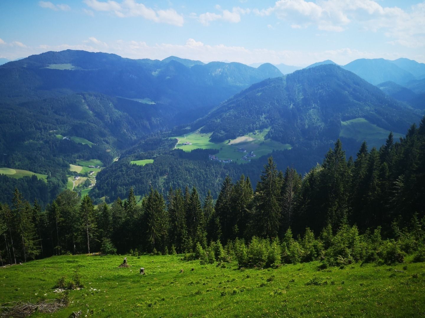
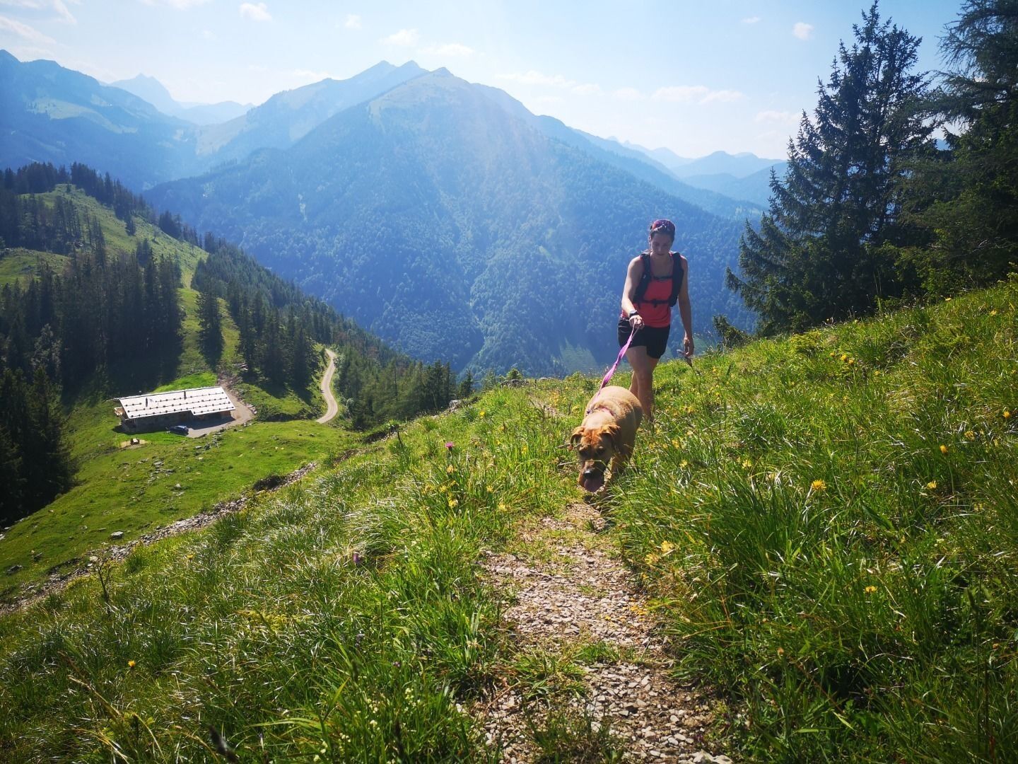
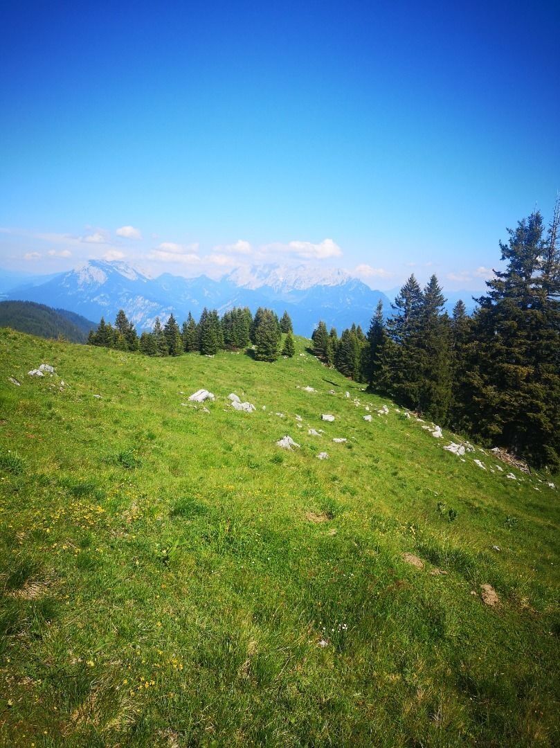
Those who would like to admire the Trainsjoch, which is nevertheless more frequently visited, from the lonelier, opposite ridge and at the same time enjoy Kaiser views, are in the right place here. A scenic, steep tour that entices with beautiful, flowing trails. From the start in Landl it goes directly to the point. Steeply uphill you run / walk on the trail up to the Ascherhjochalm and look from there directly into the Rofan. At Saurüssel you have overcome the altitude difference and can fully dedicate yourself to the flow over the meadows. At Semmelkopf (Ascherjoch), a bench invites you to take a break. The view of the Kaiser Mountains is very tempting! From there the trail starts downhill. In the downhill you have to accept a piece of forest road before you meet the climb of the ascent. With 12.5 km and just under 900hm an ideal half-day tour!

Via Thiersee or Bayrischzell on the L37 to Landl to the church in the village center.
With the regional bus line 4046 from Kufstein to Landl village. With the KufsteinerlandCard within the region bus free of charge.
Church Landl, free of charge.


Beliebte Touren in der Nähe
- 4,9
Breitenstein
mittelWanderung 8,64 km - 4,7
Musikantensteig zur Naunspitze
mittelWanderung 8,96 km - 4,7
Hintersteinersee
mittelWanderung 9,87 km - 4,7
Wendelstein
mittelWanderung 11,2 km - 4,6
Kaisersteig zur Rizaualm ,Ebbs in Tirol
mittelWanderung 12,7 km - 4,6
Wildalpjoch und Käserwand
mittelWanderung 7 km - 4,6
Rotwand über Schliersee, Deutschland
mittelWanderung 15,4 km - 4,6
Über Hintersteinersee und Walleralm aufs Hochegg
leichtWanderung 12,2 km - 4,5
Wanderung um den Hintersteinersee
leichtWanderung 5,29 km - 4,6
Miesing
mittelBergwandern 17,9 km
Wandern & Tracking


Verpasse keine Angebote und Inspirationen für deinen nächsten Urlaub
Deine E-Mail-Adresse wurde in den Verteiler eingetragen.





