


3-day mountain hut walk - alternative route to the summit of the Scheffauer


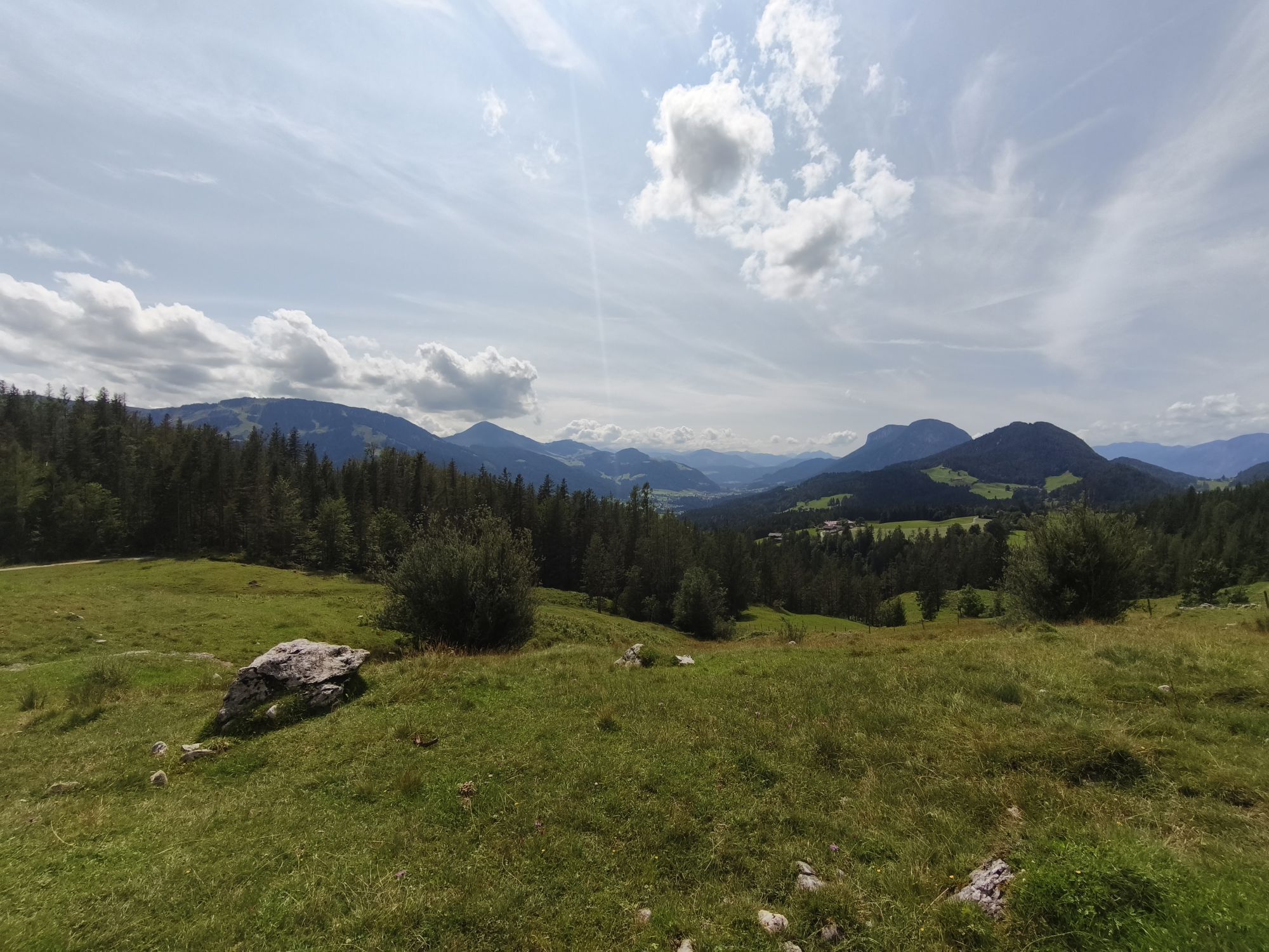

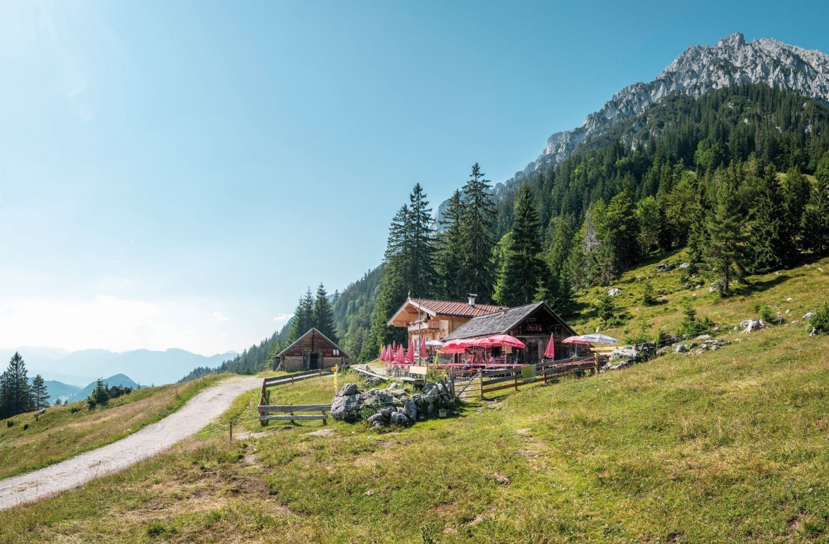
Behind the Pension Maier guesthouse, forest road 45 leads up a steep incline from the car park (pay & display) to the Walleralm, an Alpine hamlet at the foot of the Zettenkaiserkopf mountain. If you make...
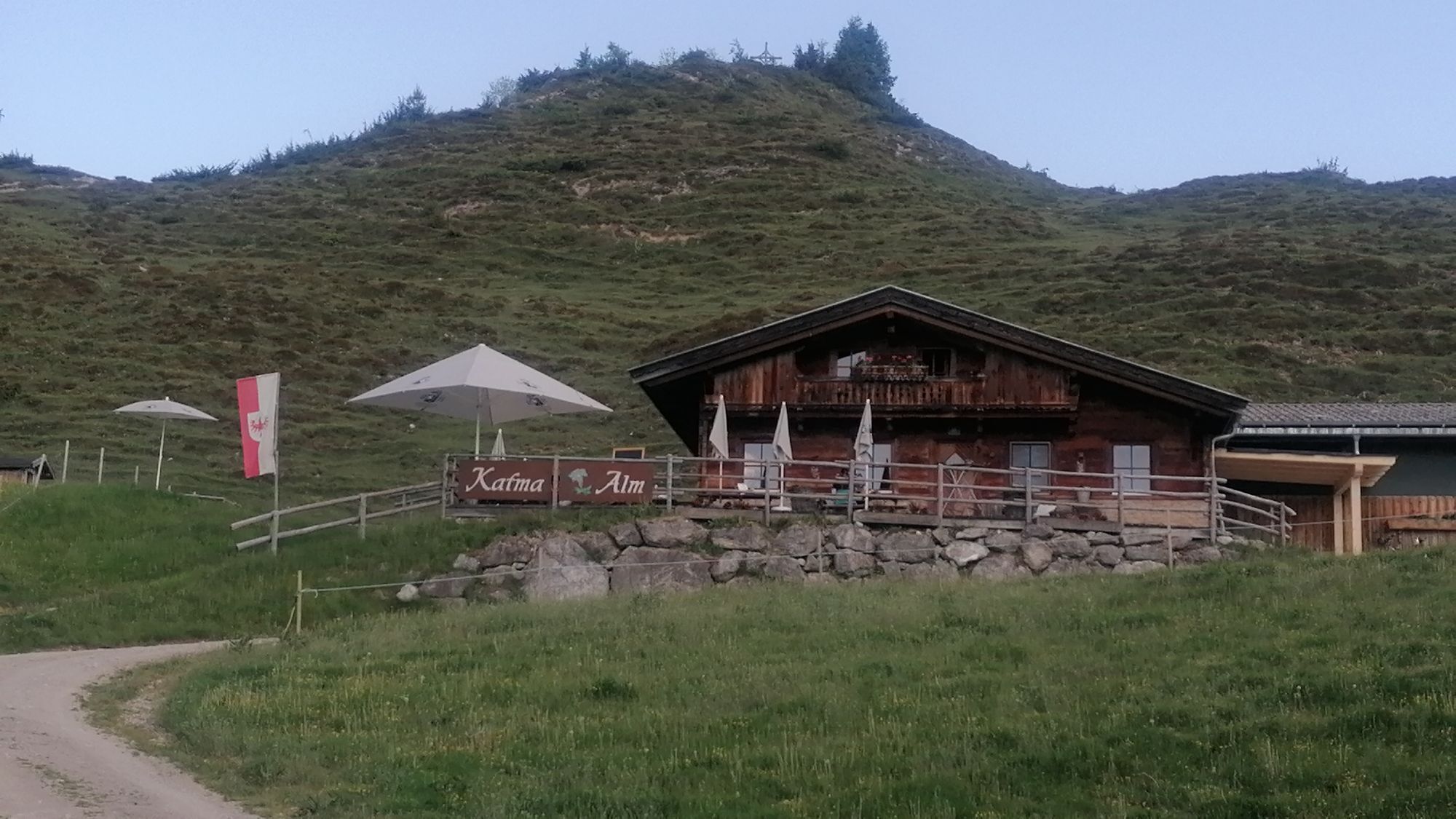
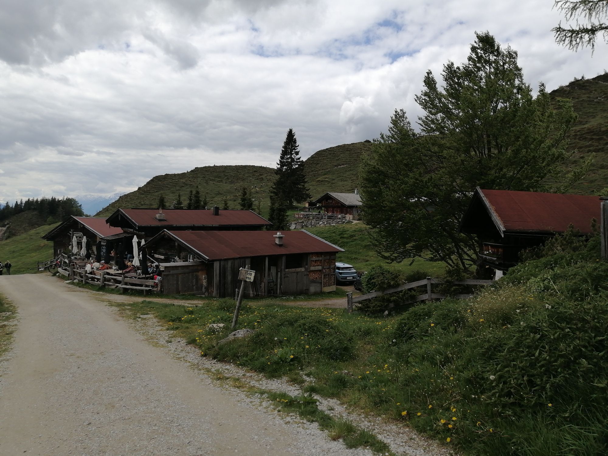
Behind the Pension Maier guesthouse, forest road 45 leads up a steep incline from the car park (pay & display) to the Walleralm, an Alpine hamlet at the foot of the Zettenkaiserkopf mountain. If you make the brief ascent to the Kreuzbichl summit, you will be rewarded with wonderful views. Alternatively, you can enjoy a refreshment stop at the Kafma Alm mountain hut, Stöfflhütte mountain hut or at the Walleralm mountain inn.
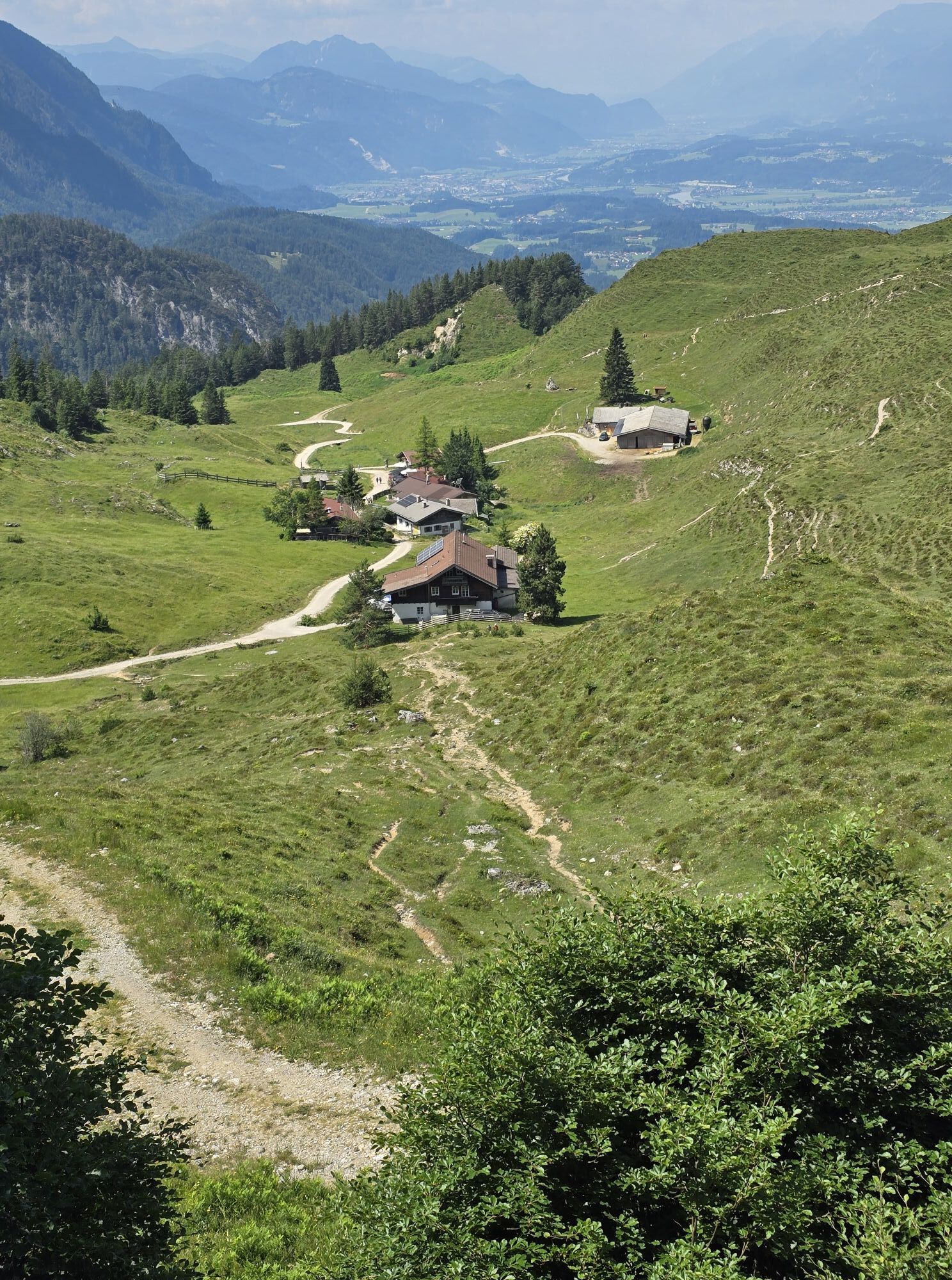
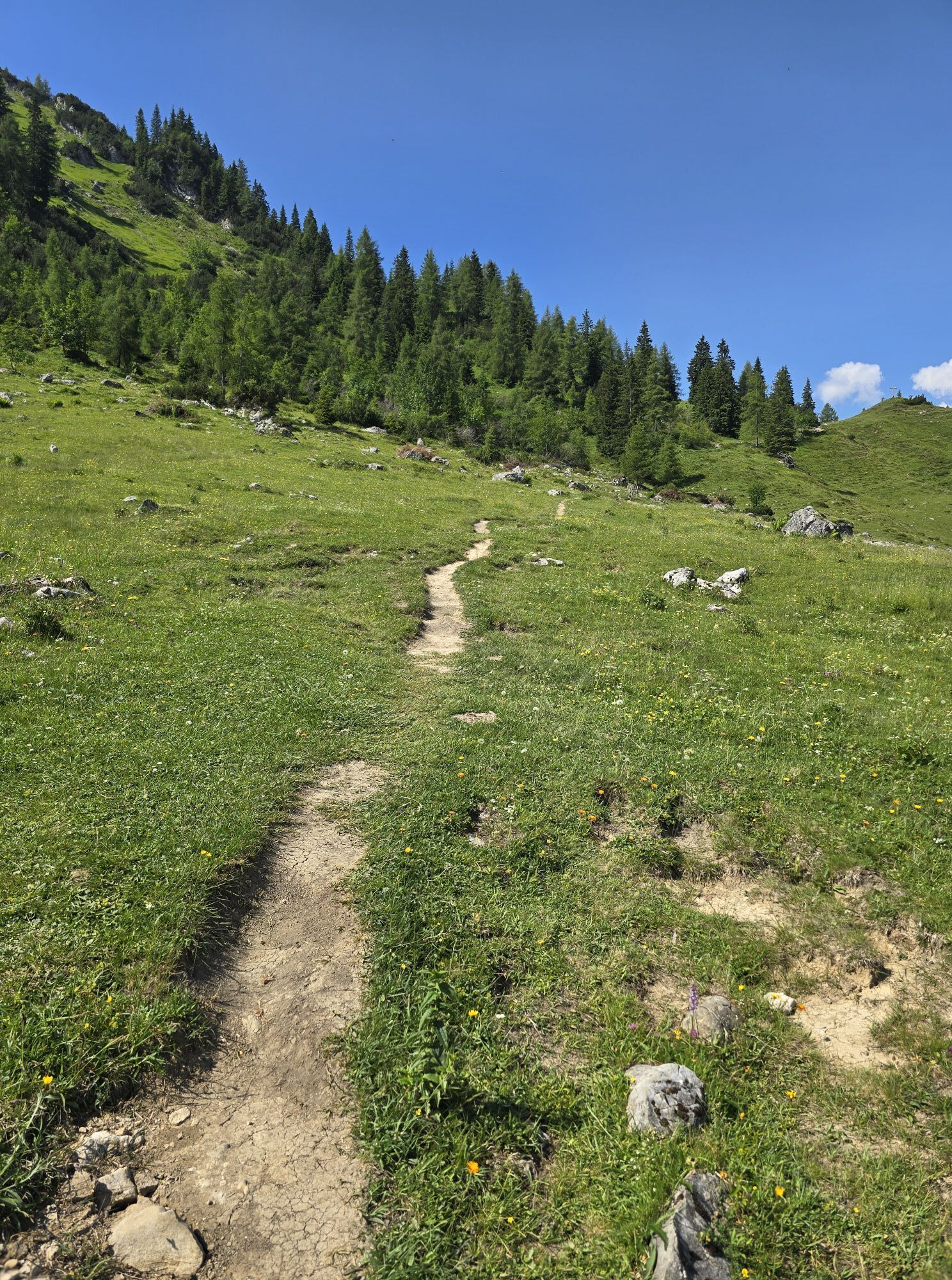
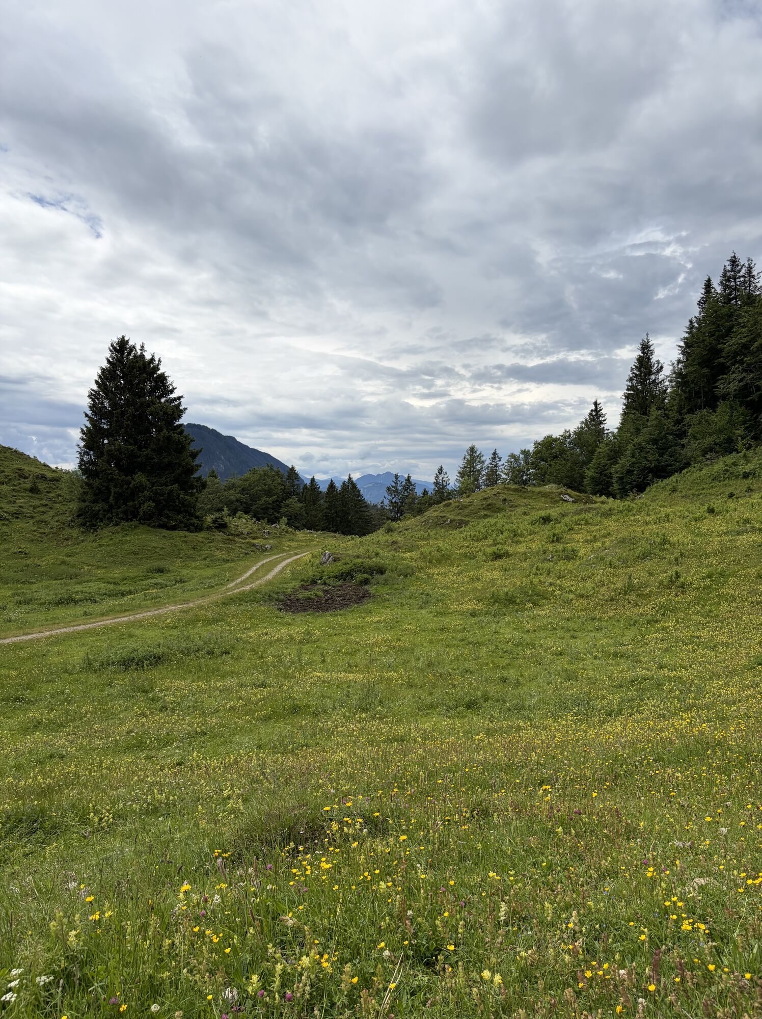
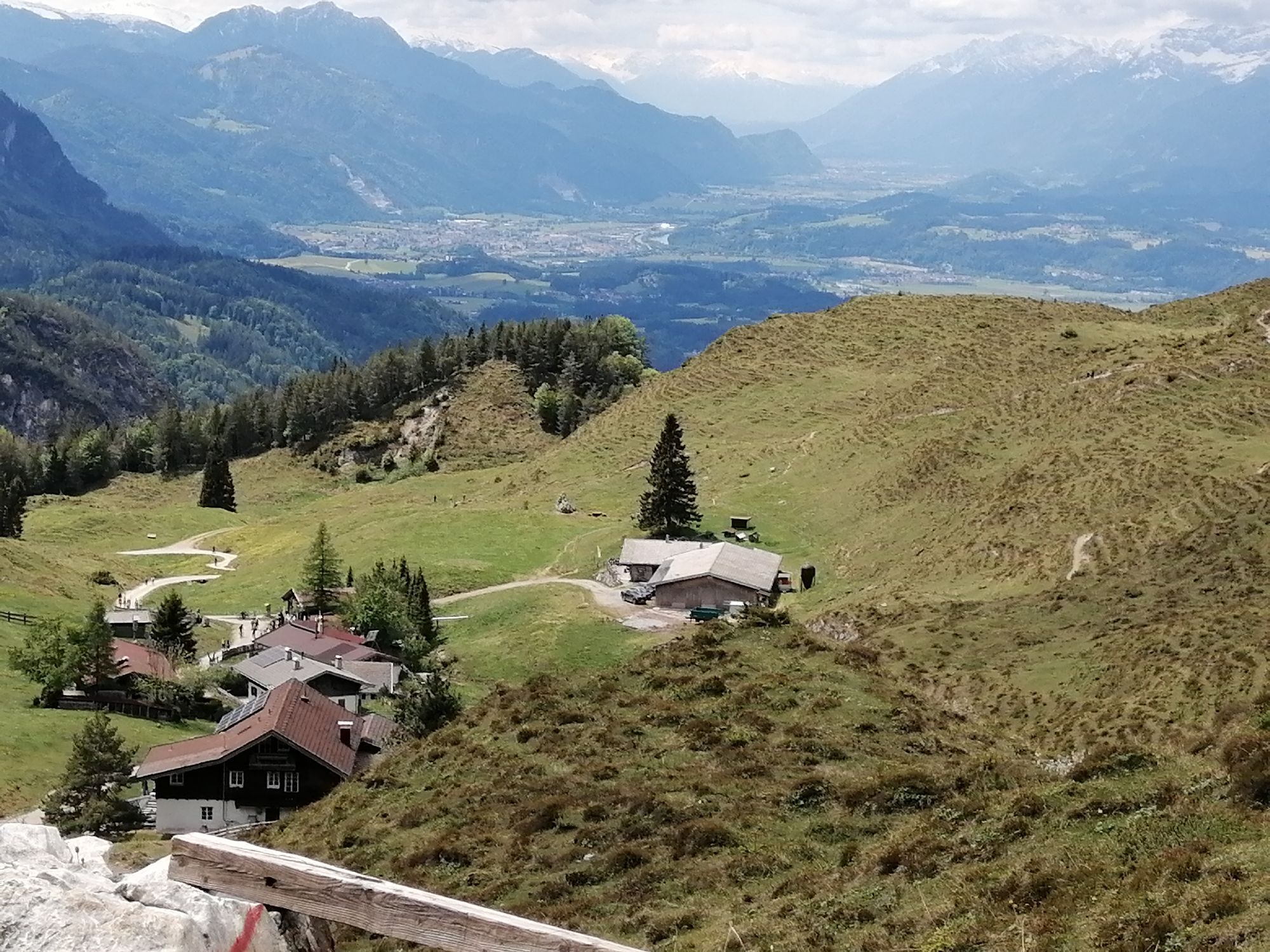
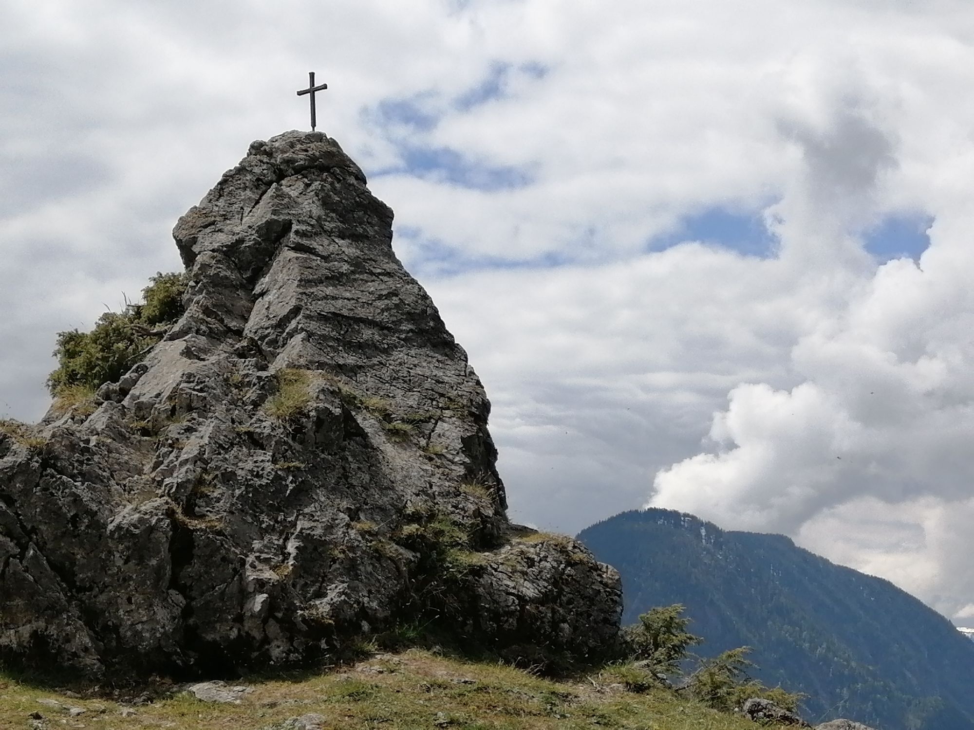
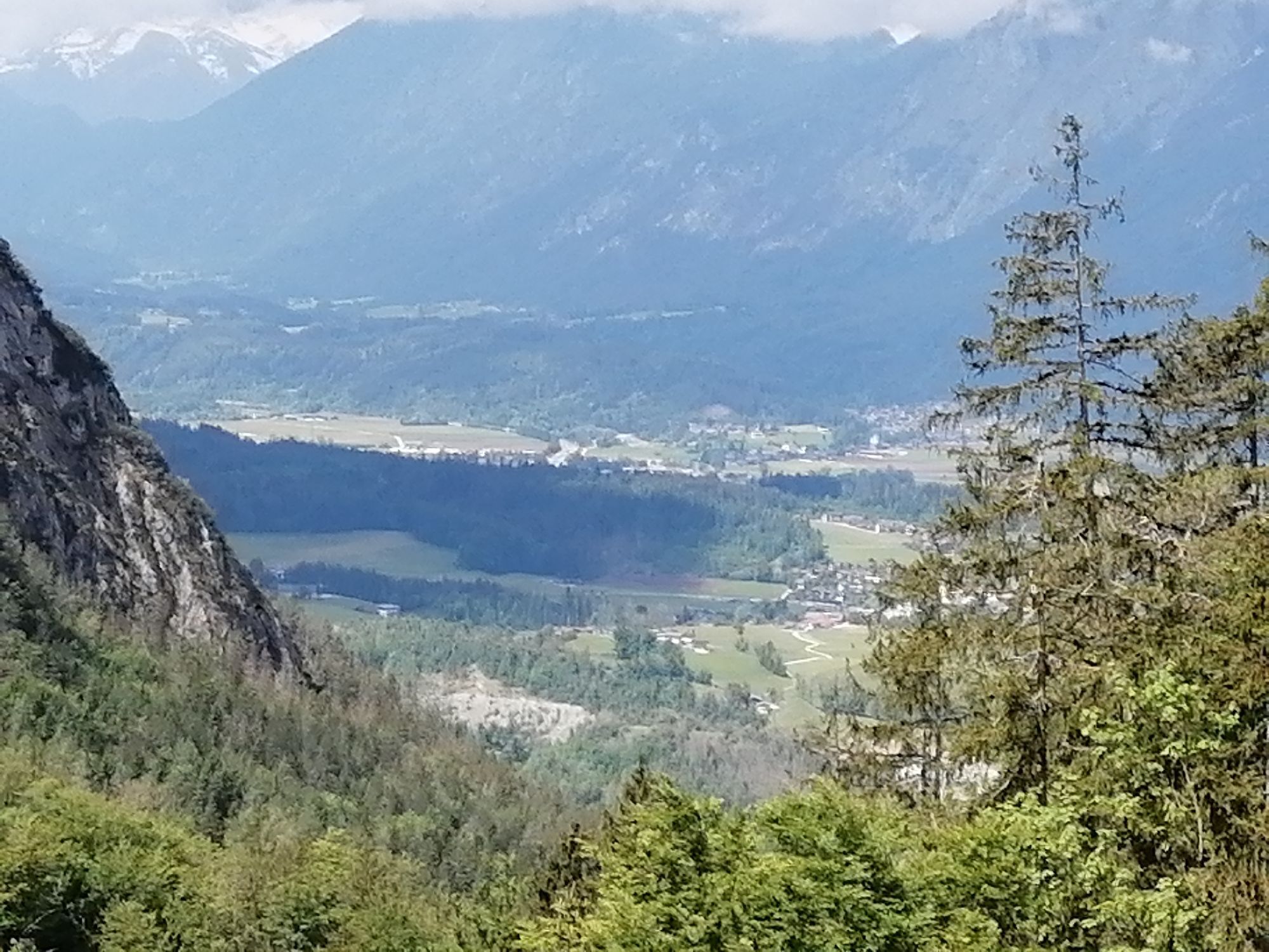
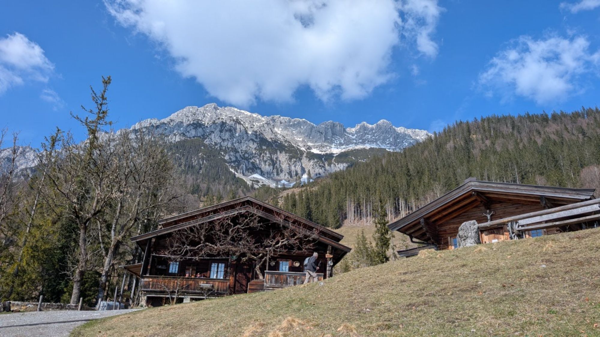
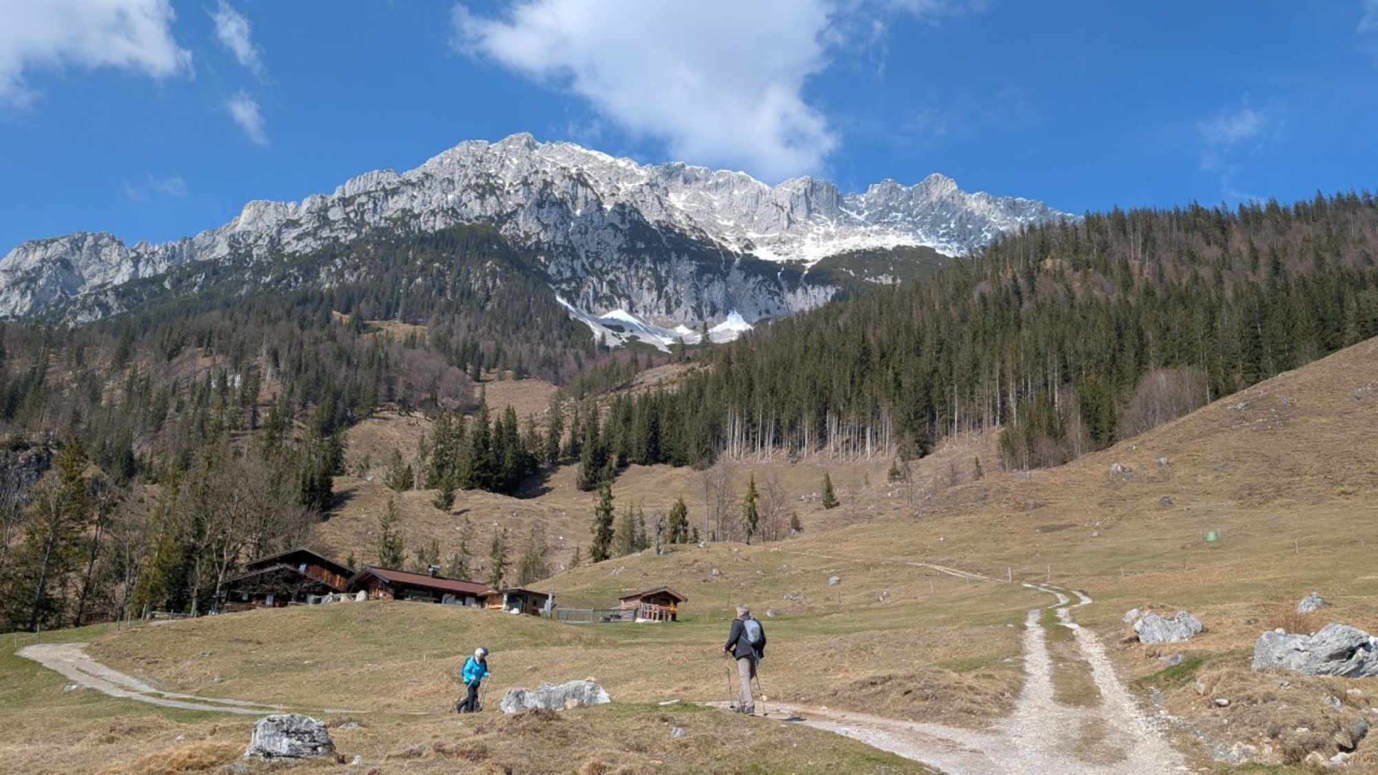
Continue on path 827 across Alpine meadows, past the Jägerbrünnl and through the forest to the cross on Hochegg mountain (1,470 m). The Adlerweg trail will guide you onward across gentle Alpine pastures to the cosy Kaindlhütte mountain hut (1,293 m) at the Steinbergalm, a beautiful high plateau above Kufstein.
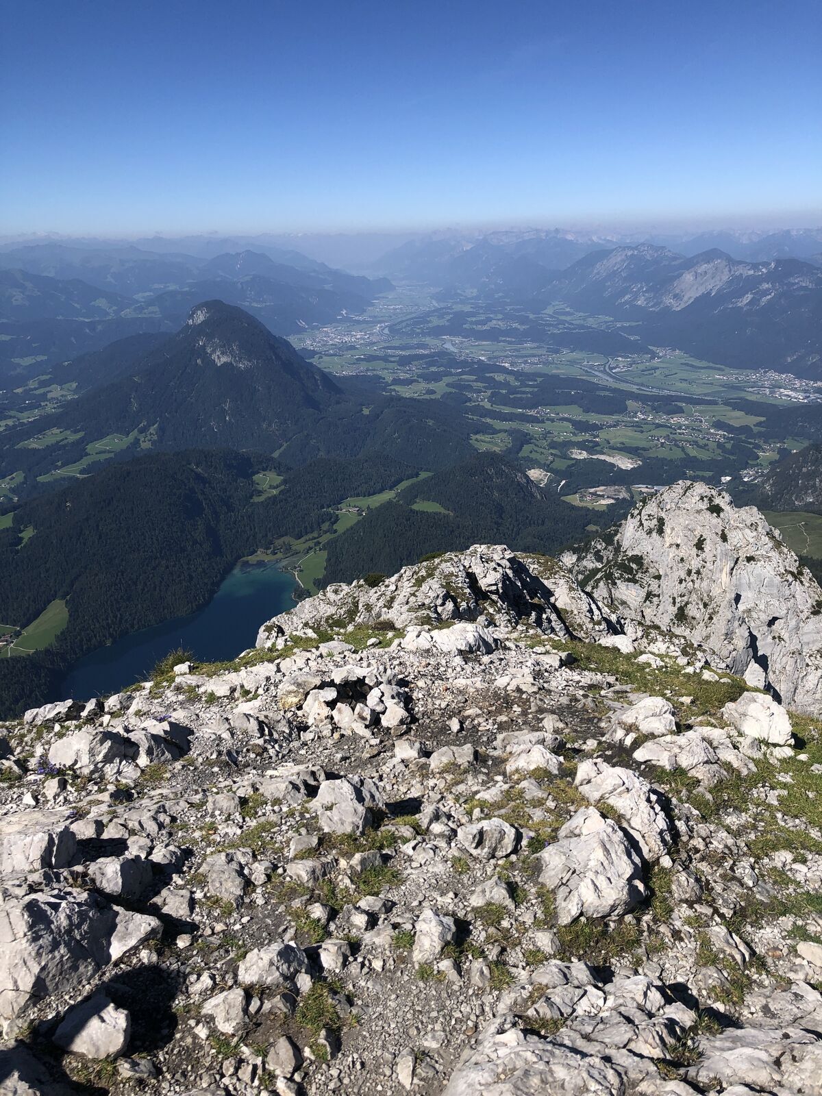
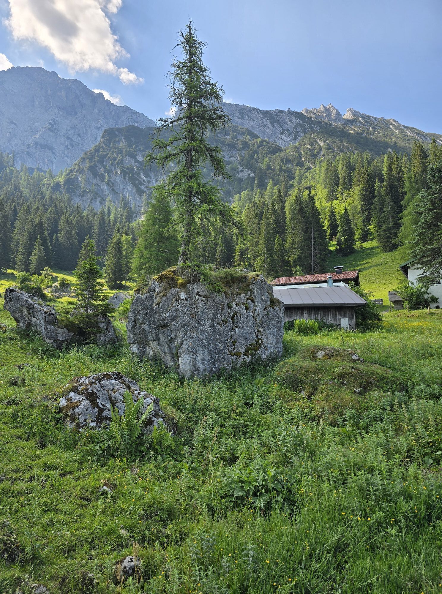
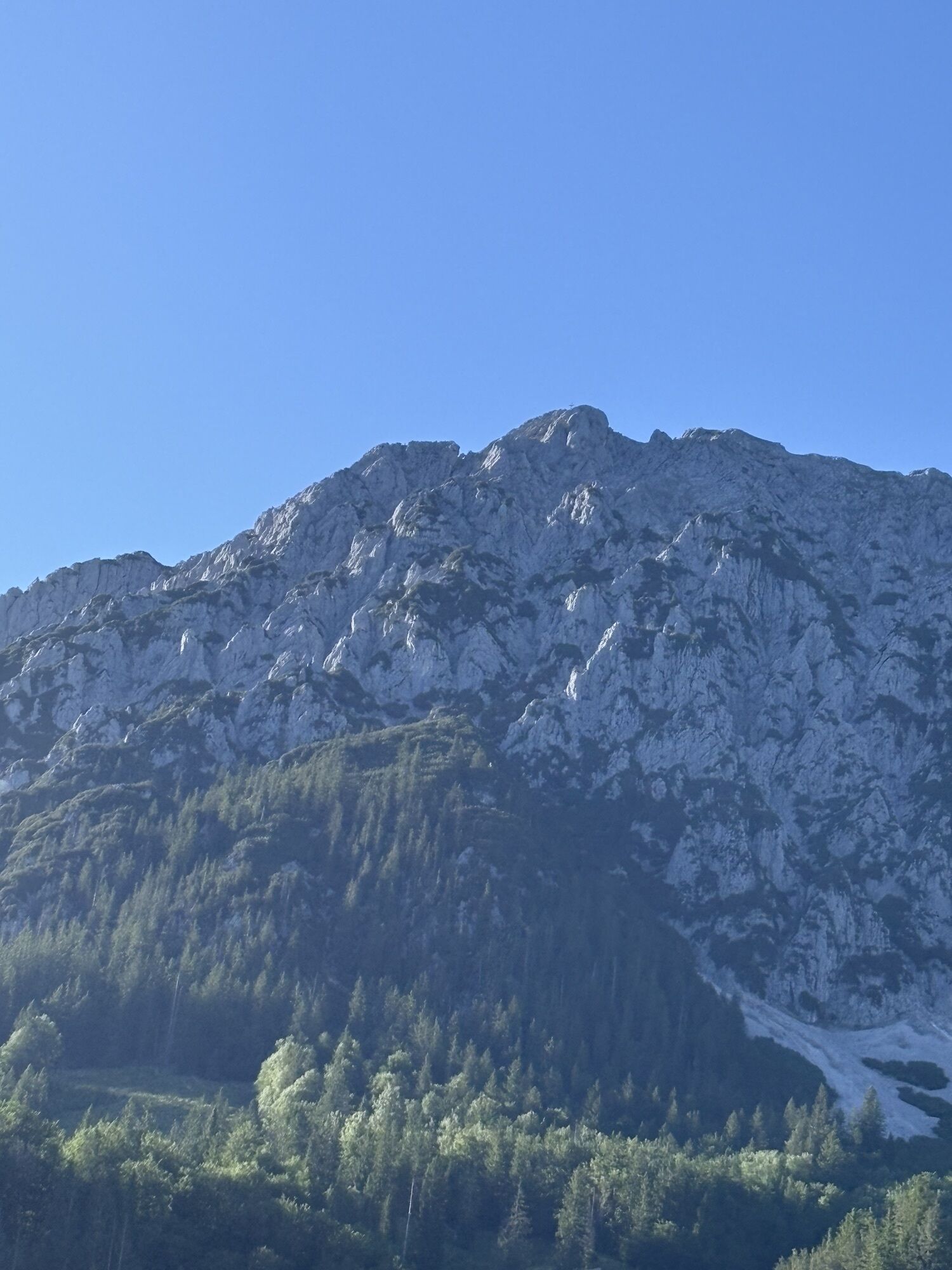
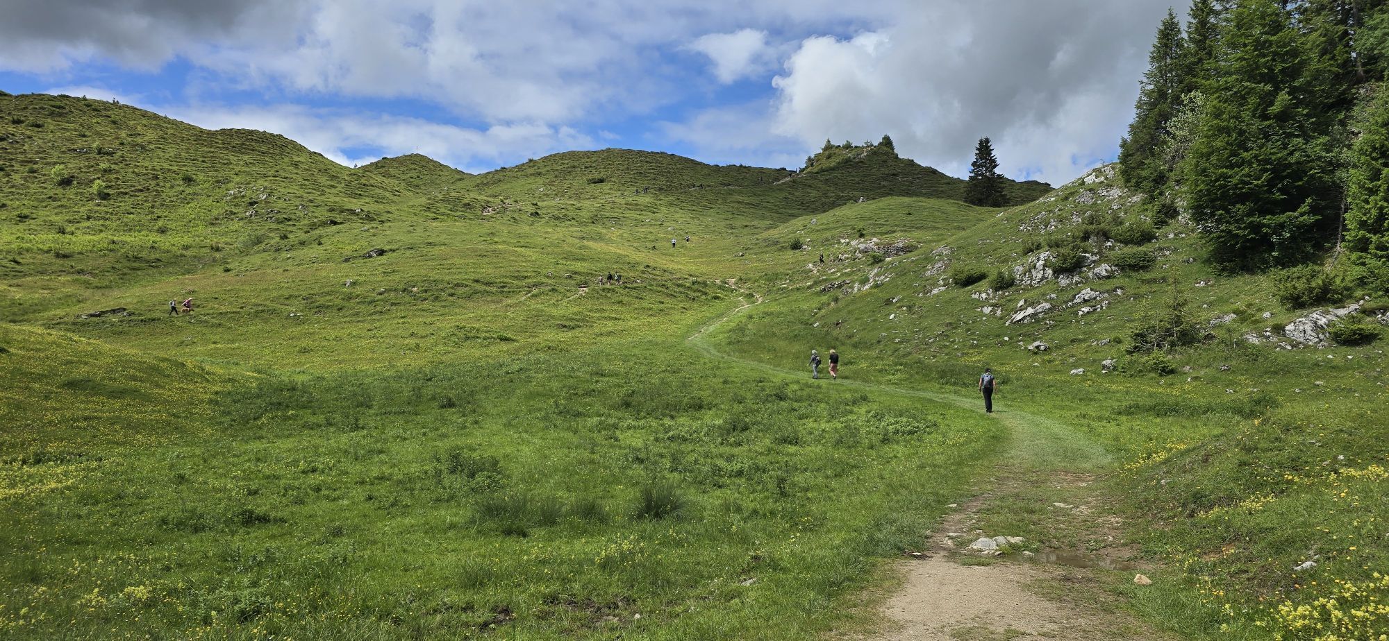
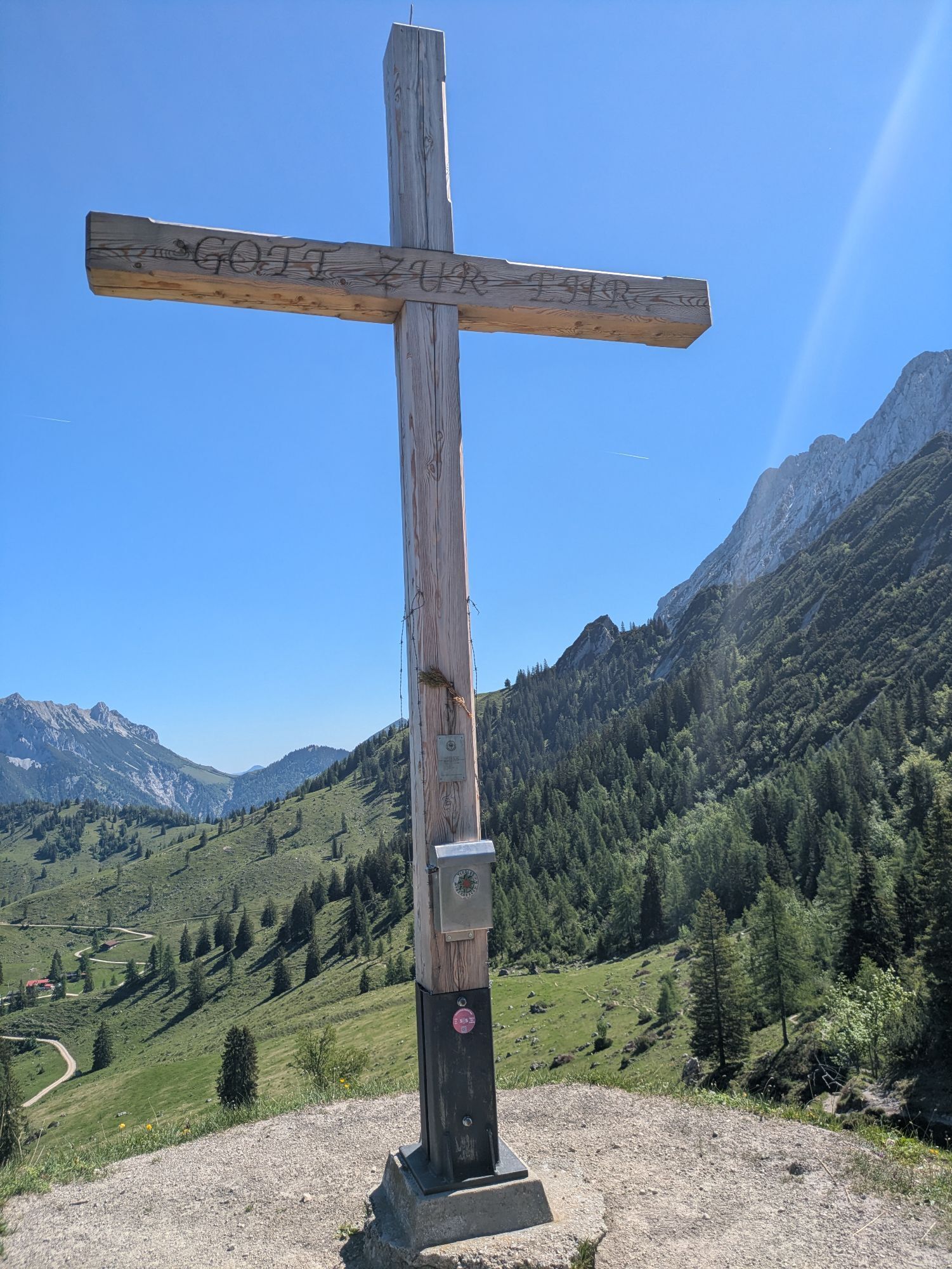
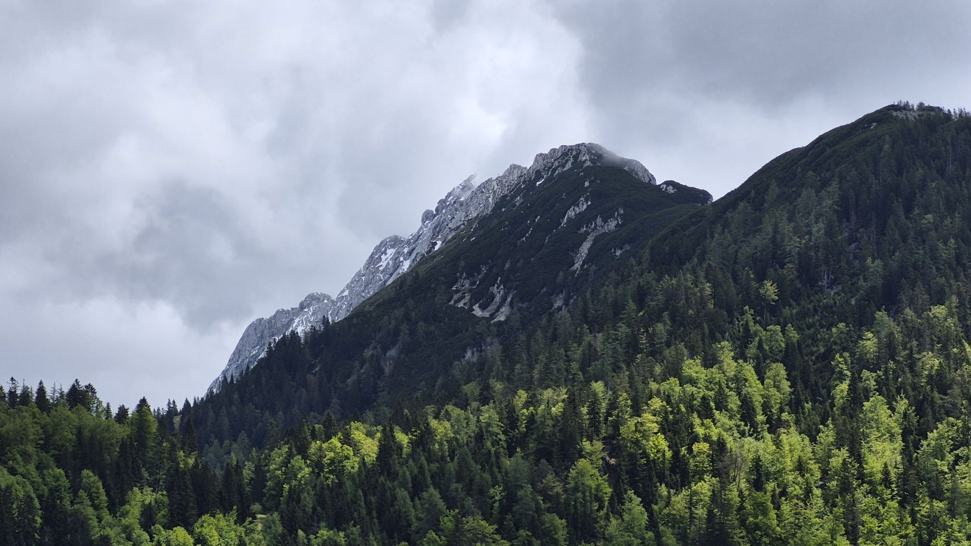
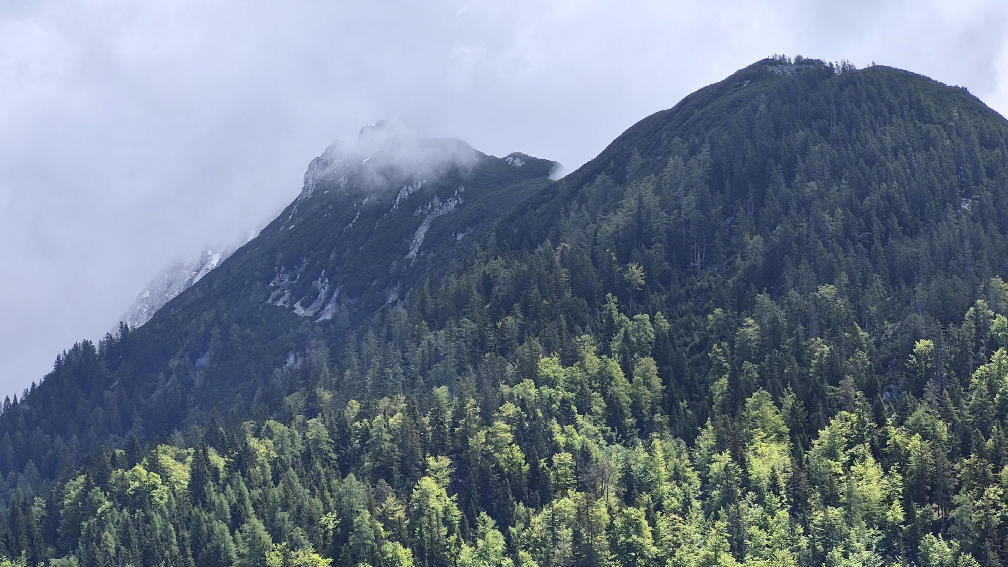
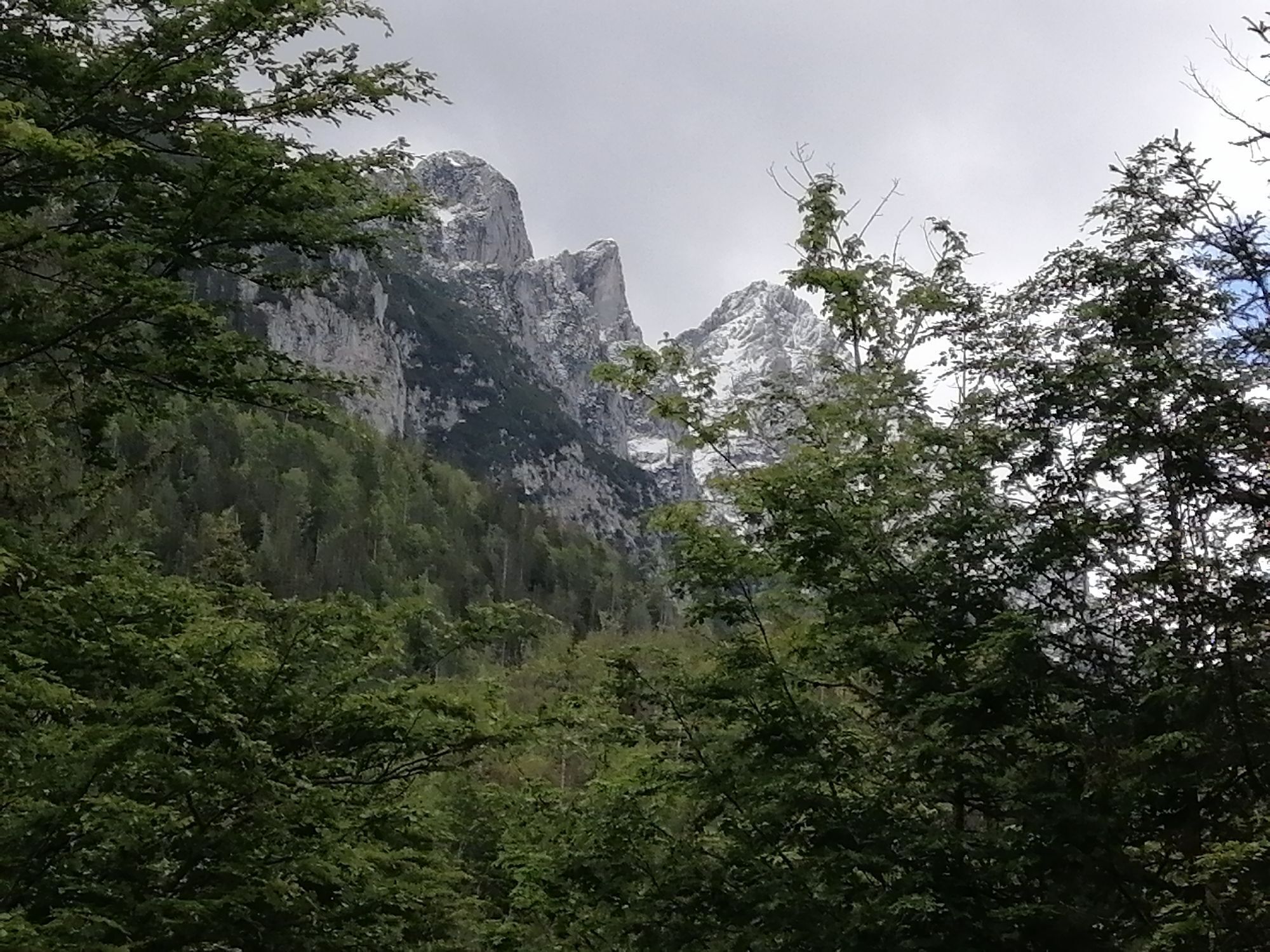
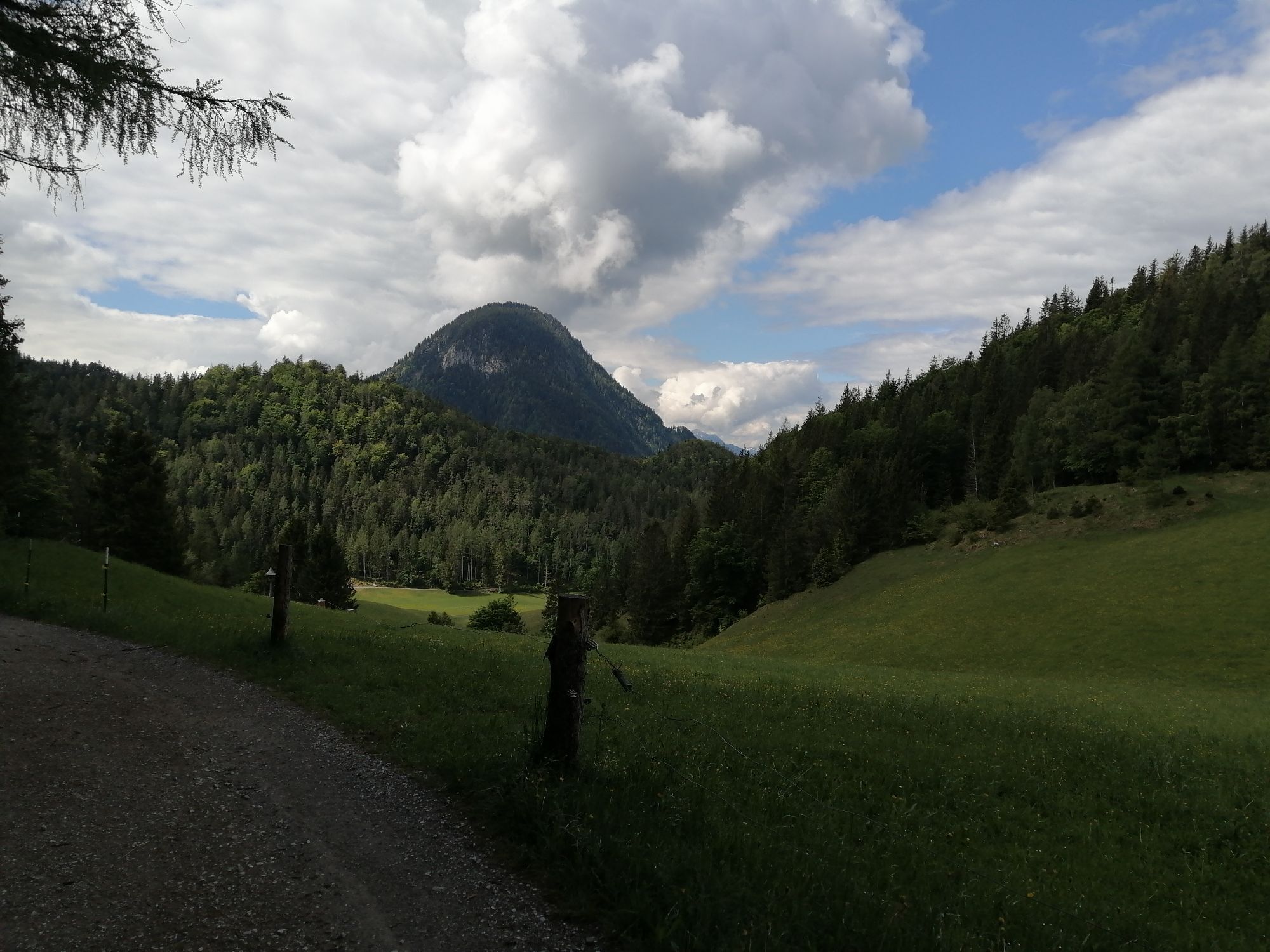
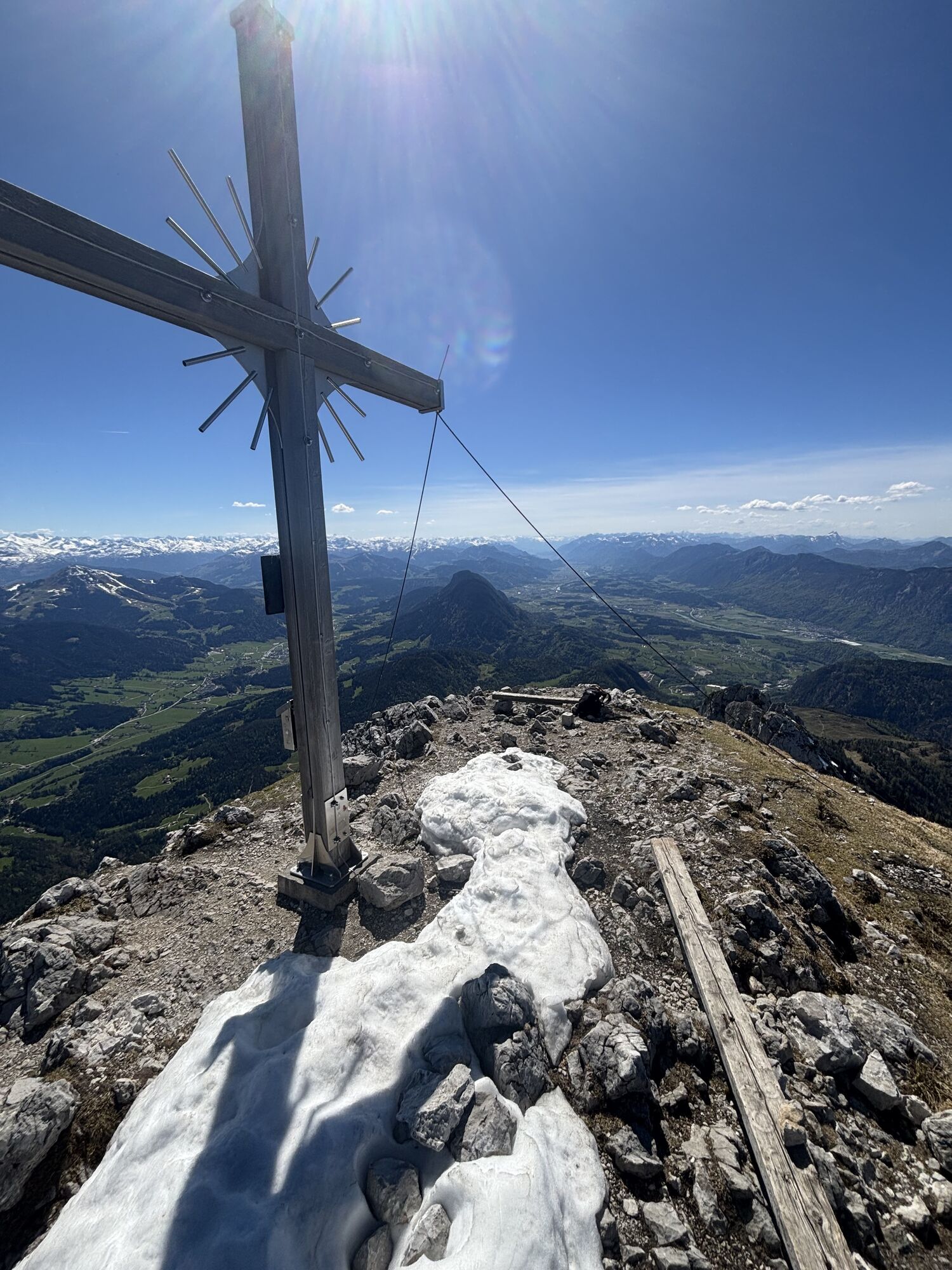
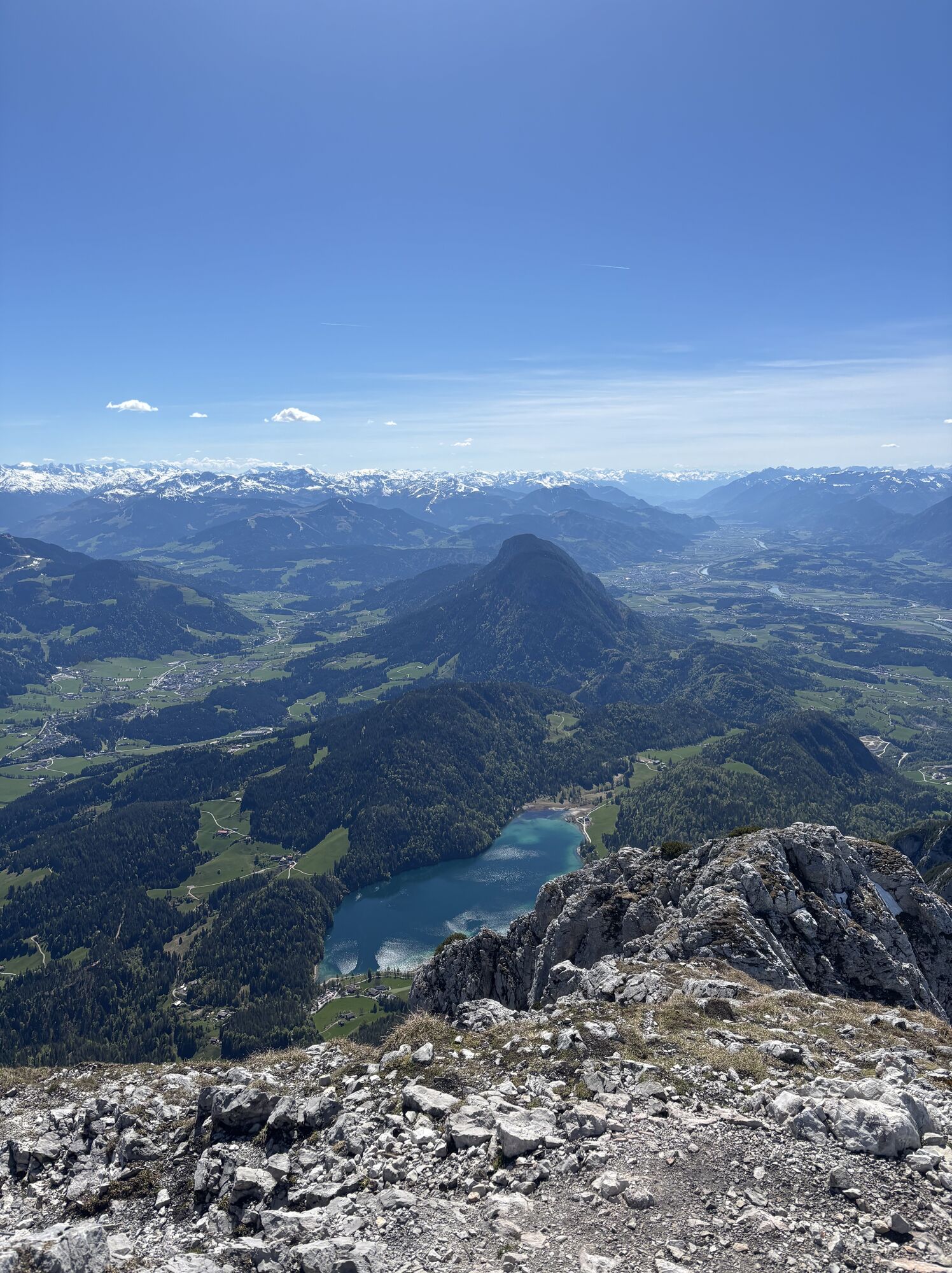
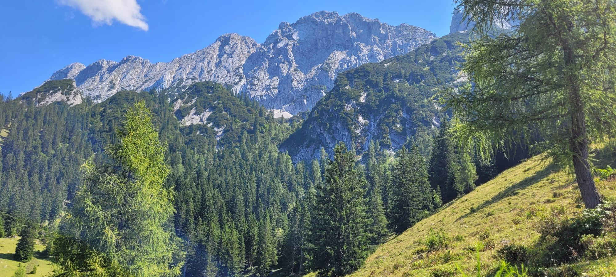
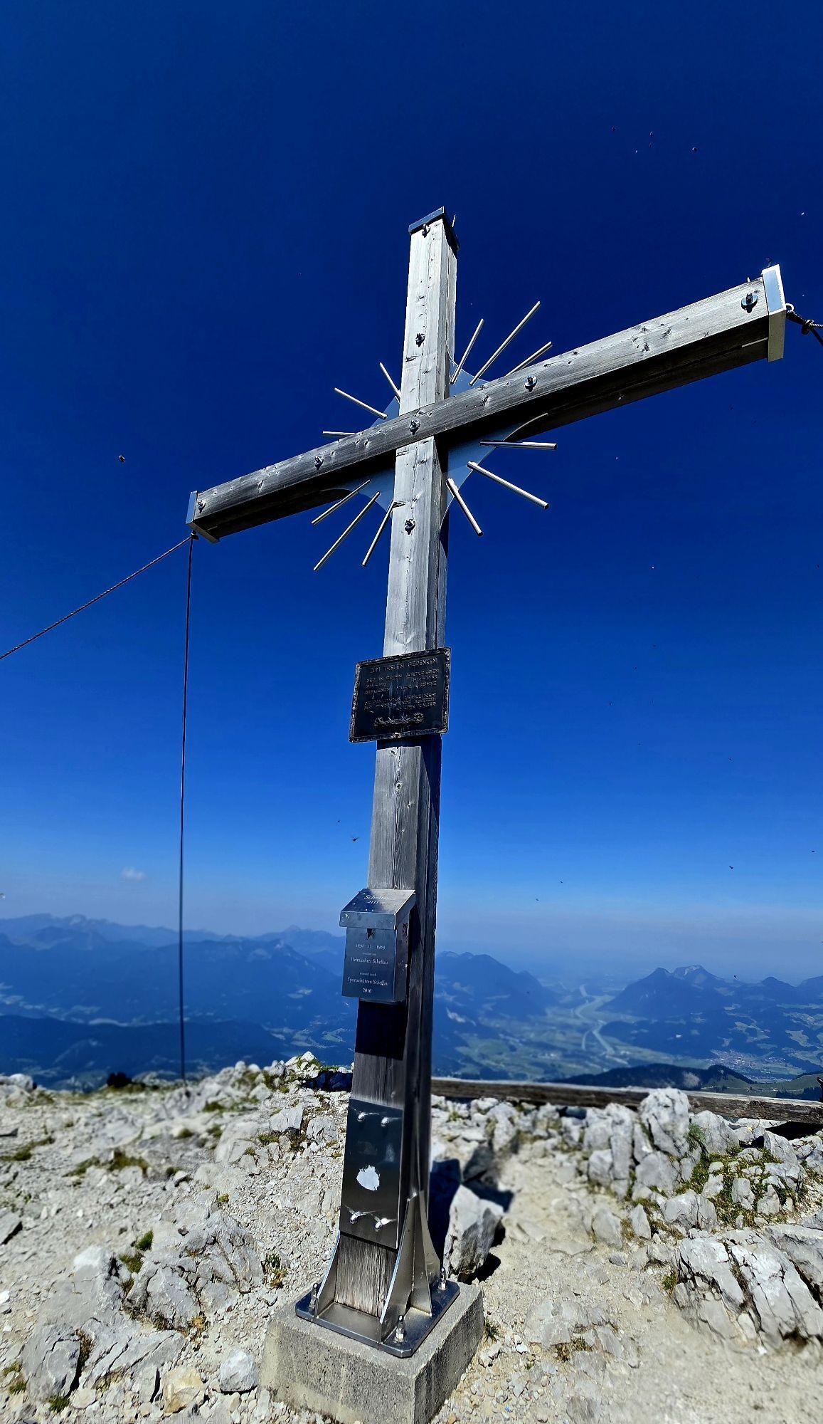
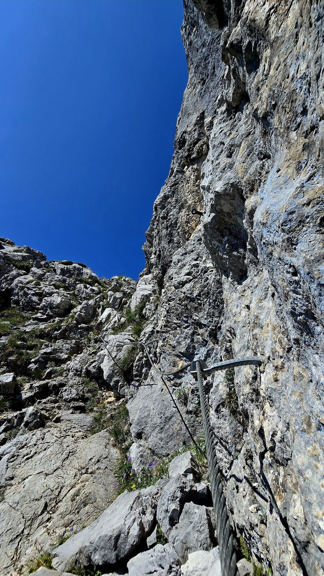
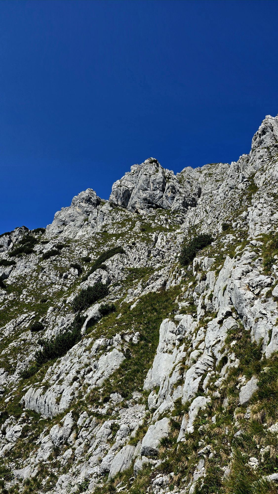
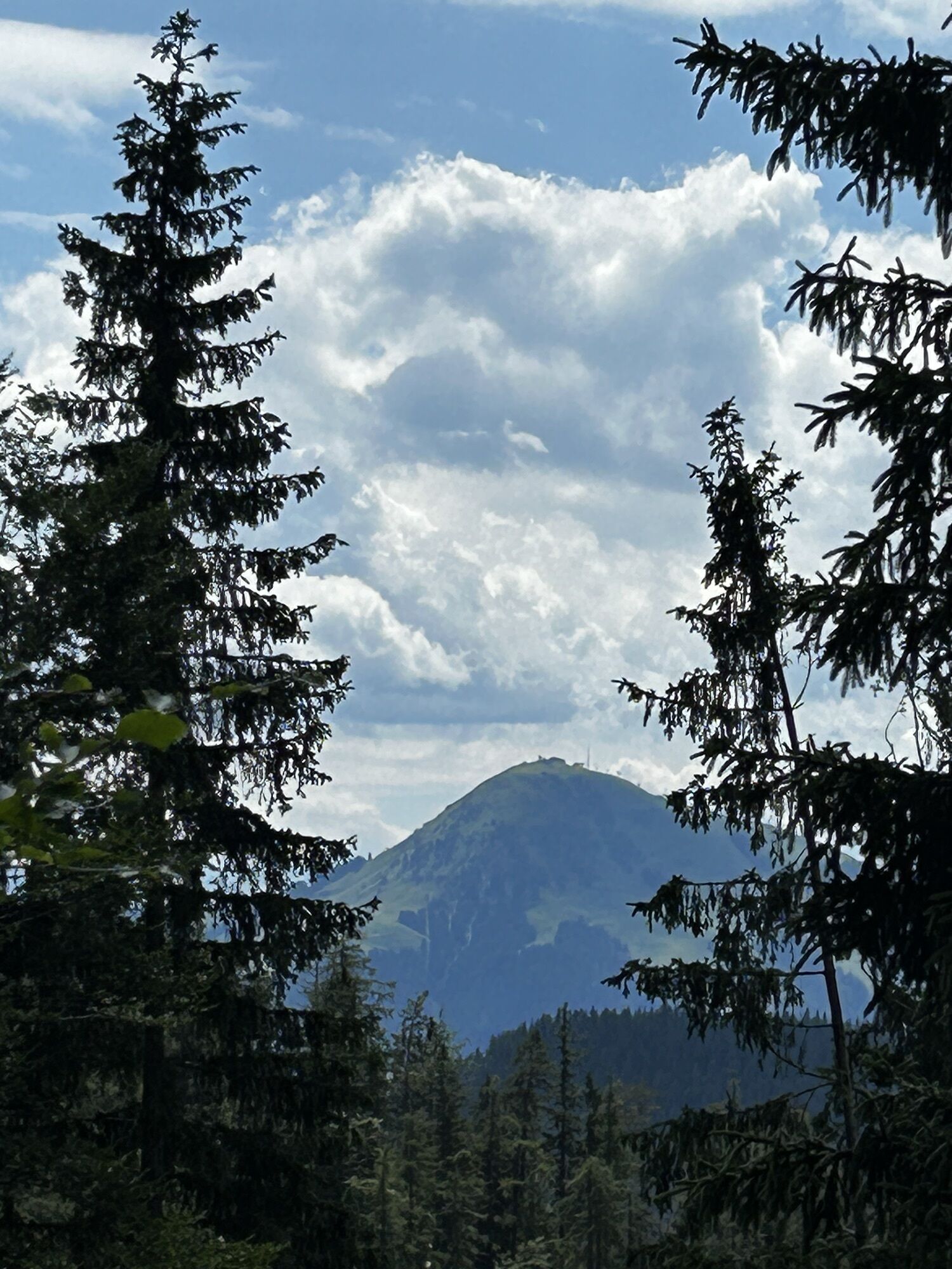
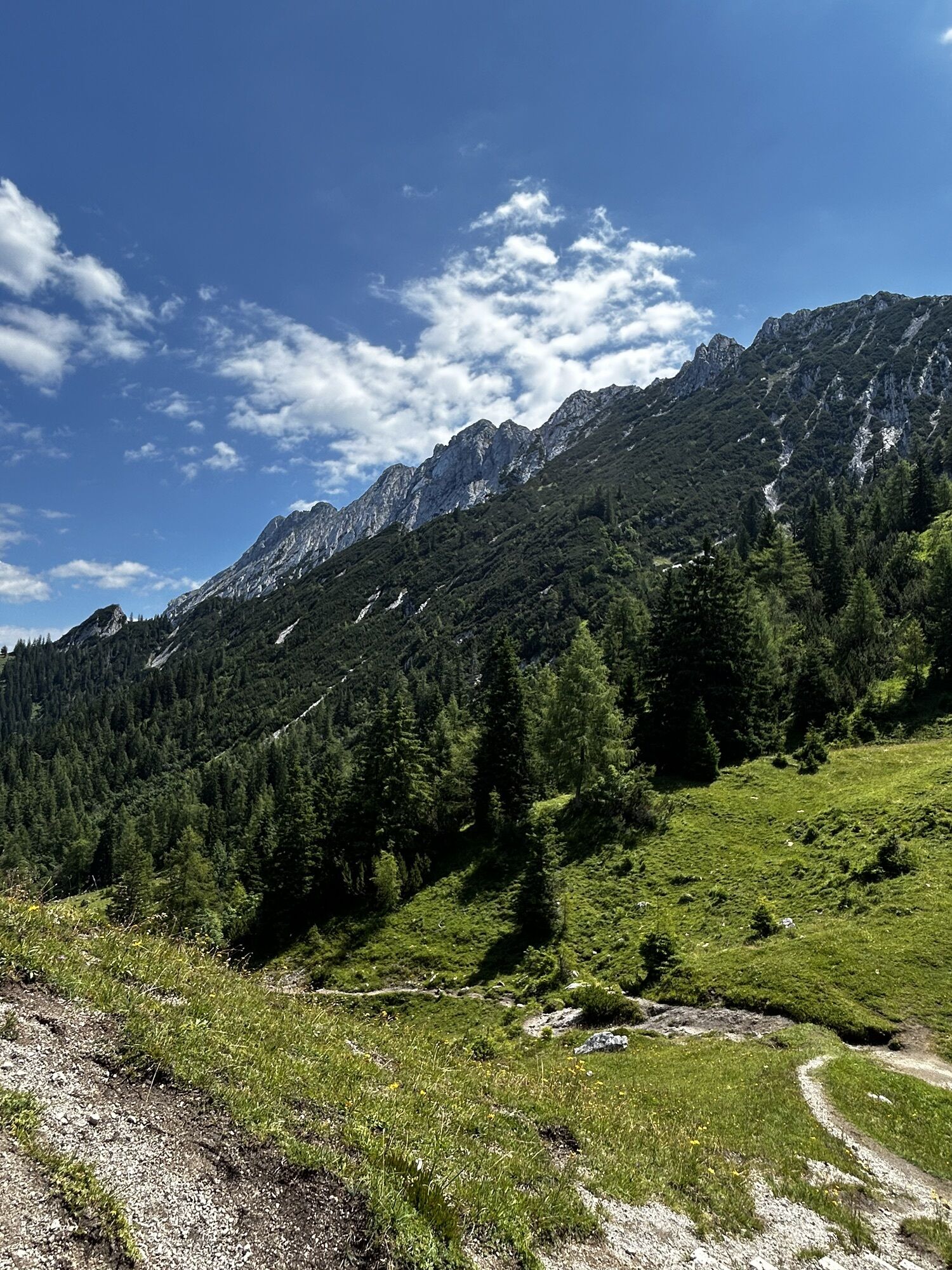
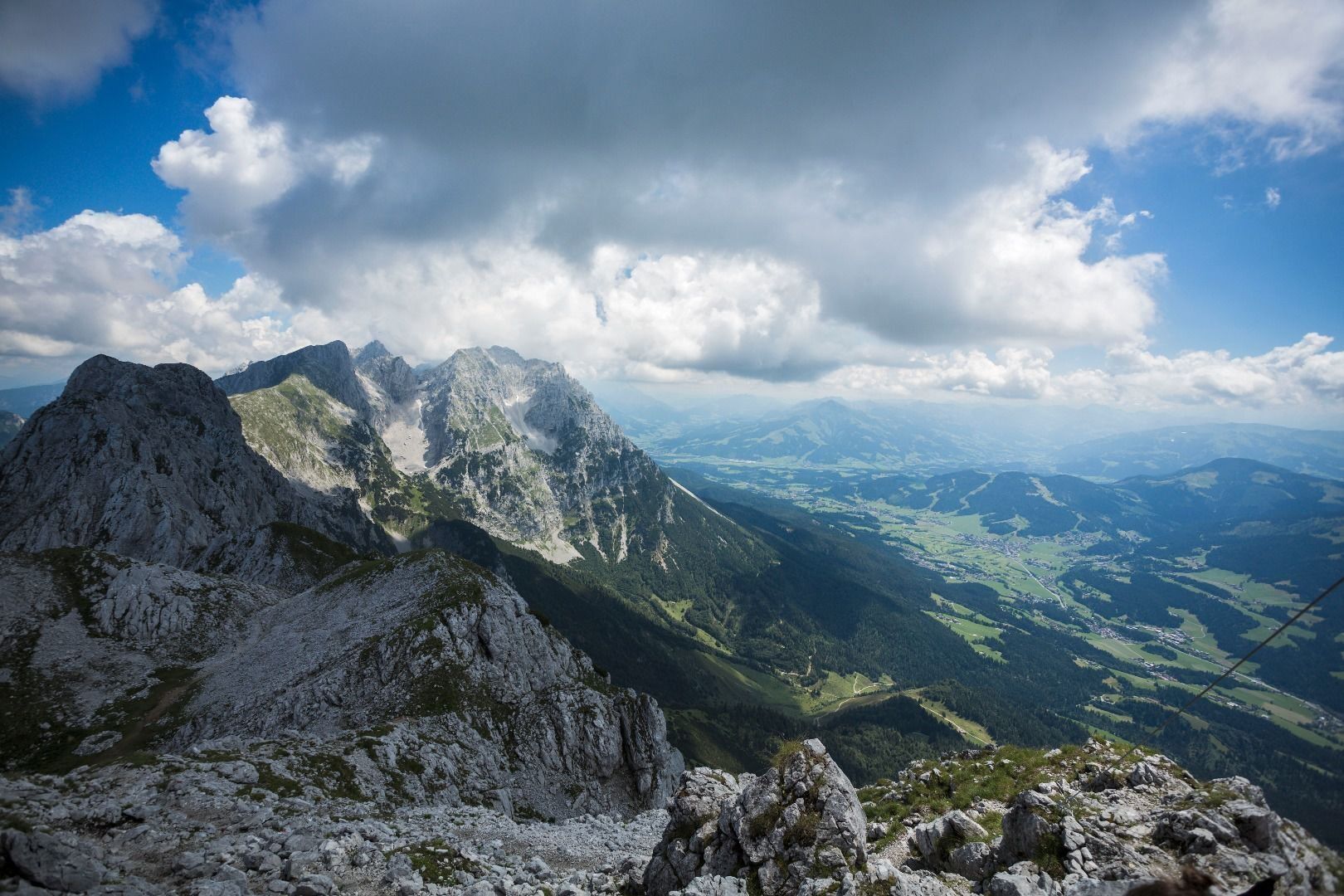
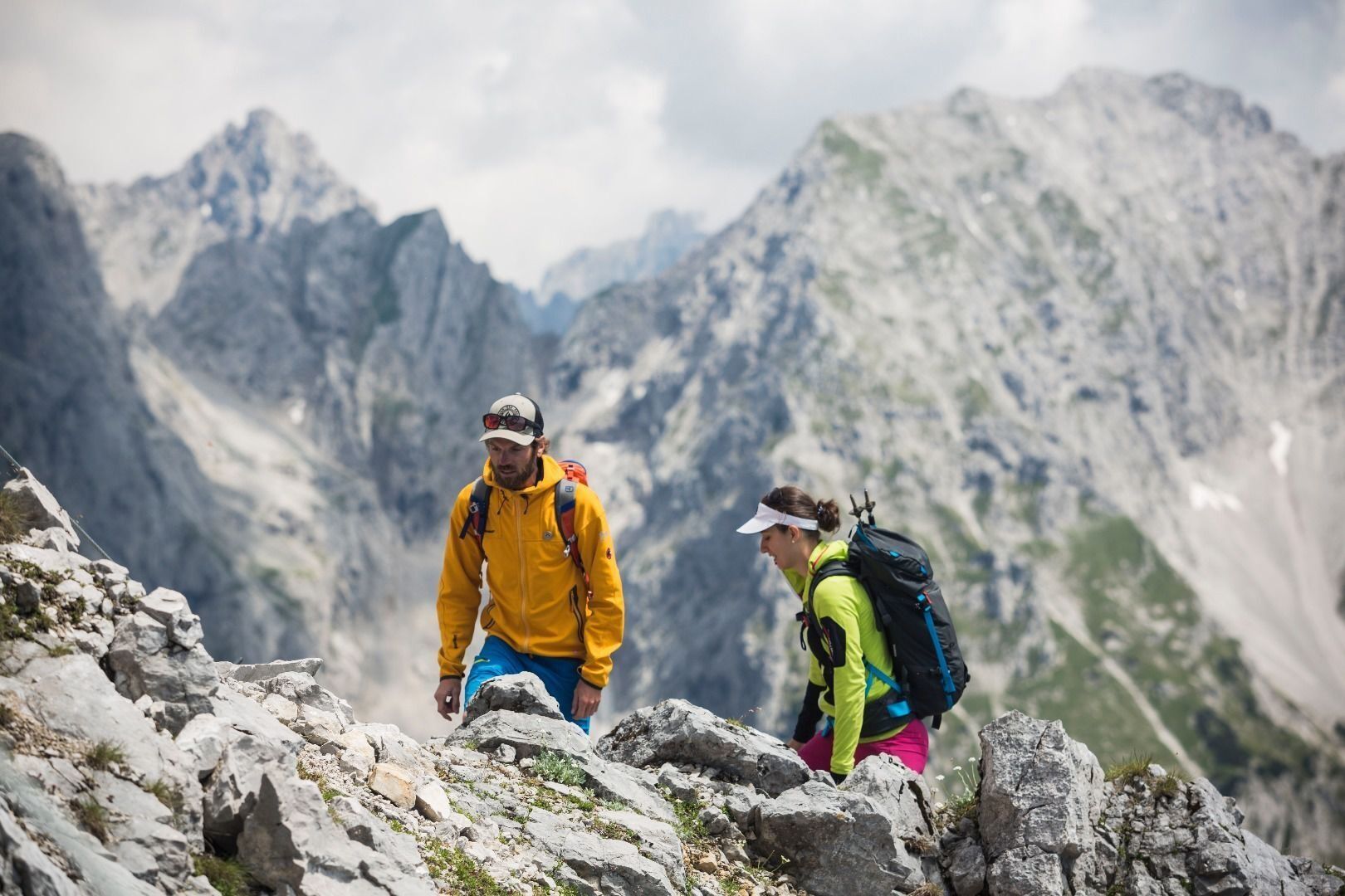
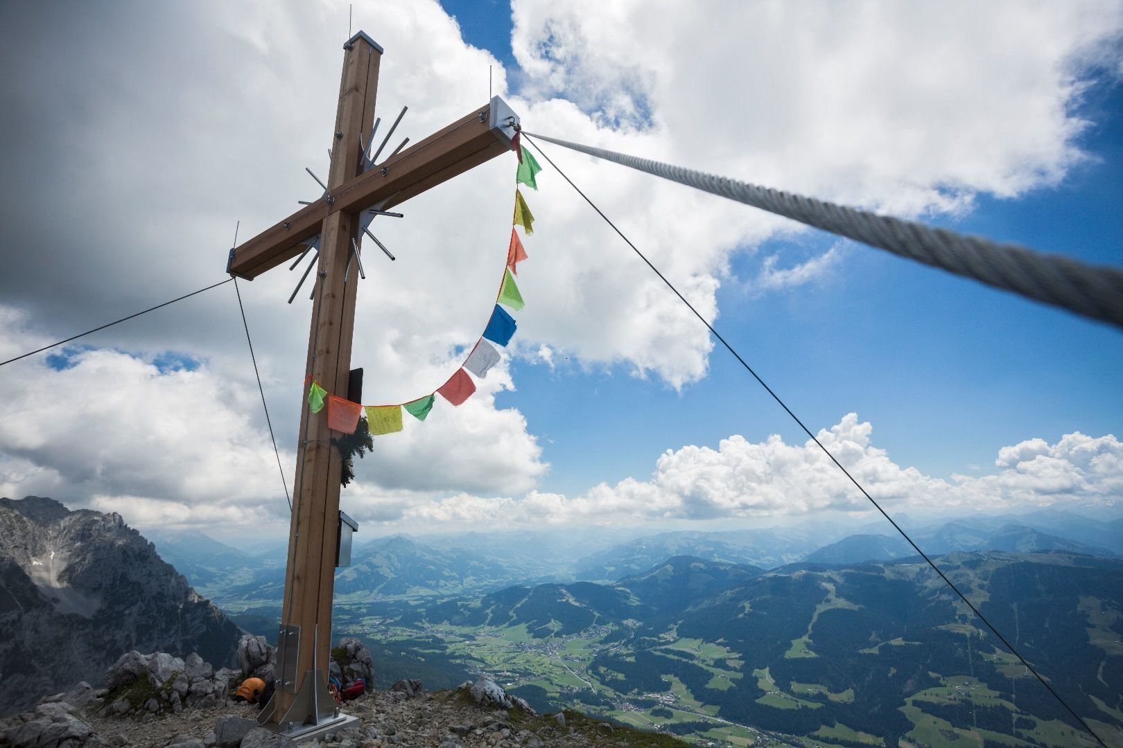
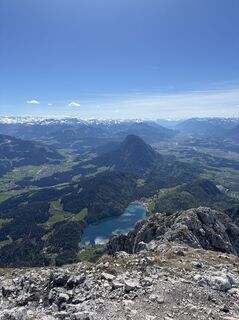
At the large stone block located before Kaindlhütte mountain hut, you should turn to the south on to Widauersteig trail 814. Hike through the well-shaded forest and across Alpine meadows until you come to a basin. Below the north faces, keep left until you reach the entrance to the Scheffauer. The Widauersteig trail is largely secured with steel ropes. It runs to the west of a slab rock face, crossing this via a series of ledges and finally leading to a gully up the mountain. It then features a series of bends and sections of loose gravel before coming to the saddle at the crest. From here, you should proceed westwards and you will reach the summit cross of the Scheffauer in around 10 minutes. Danger of rock falls – wear a helmet!
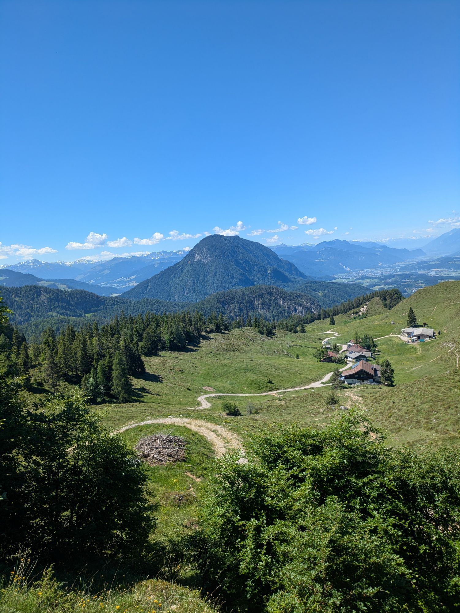
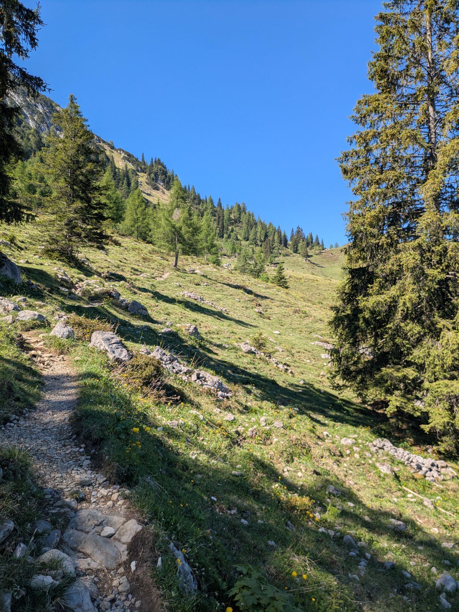
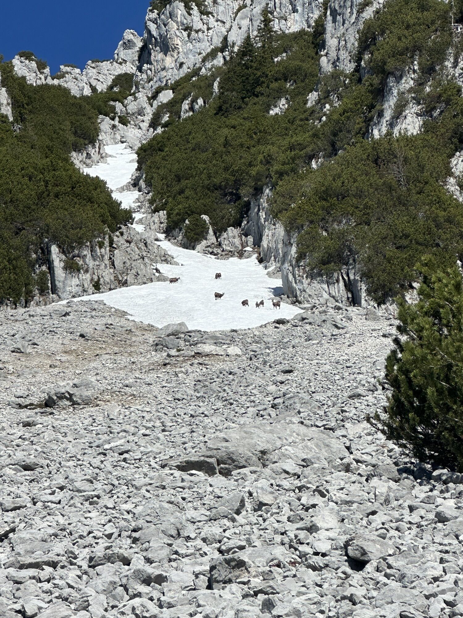
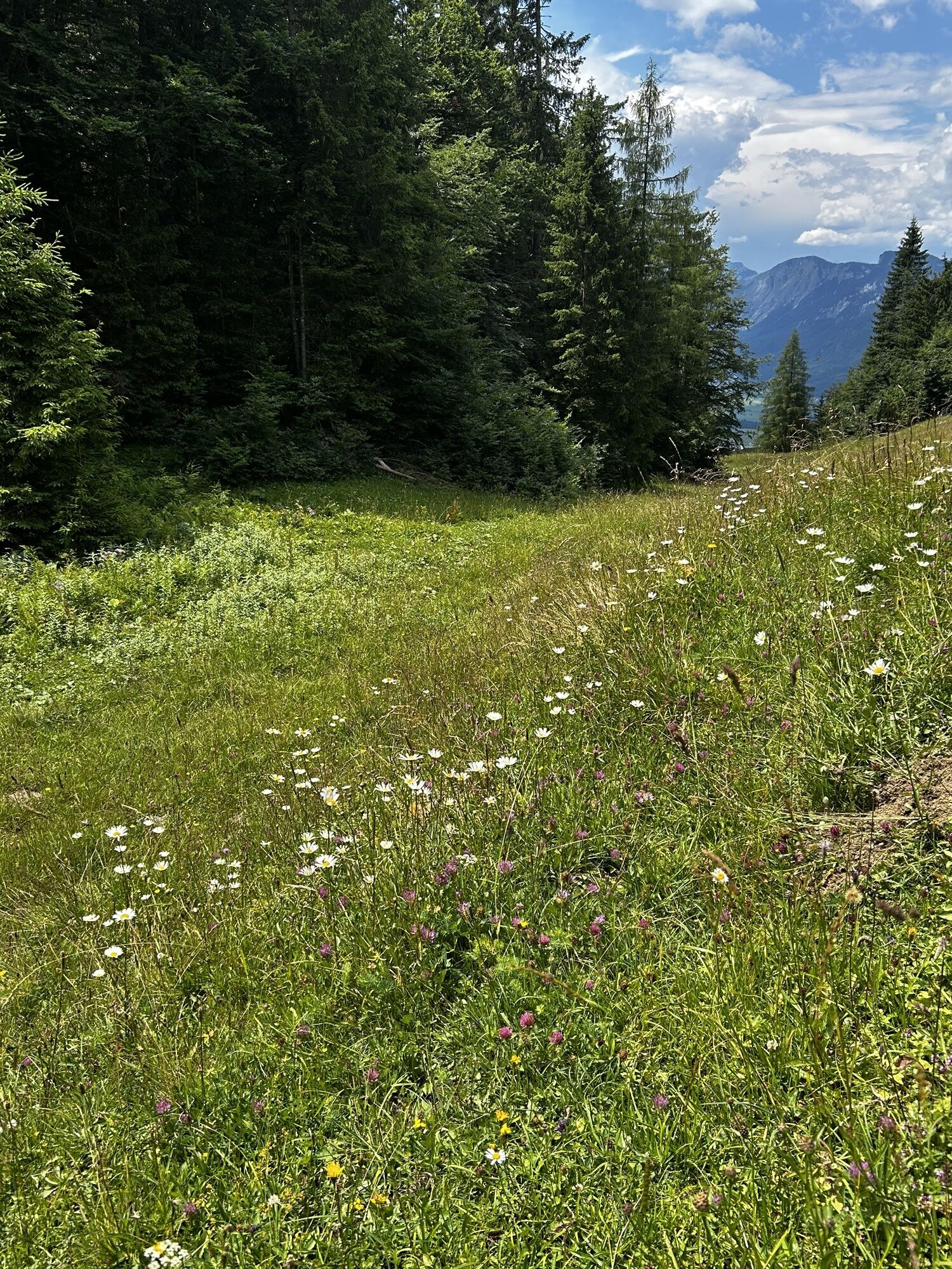
The descent takes you back to the saddle at the crest and then along the path on the south side, just one part secured by ropes. Crossing through a field of scree, past the “Hochofen” and below the “Veitskirche” (rock formation), you will come to the Steiner-Hochalm (1,257 m) on path 814a heading south.
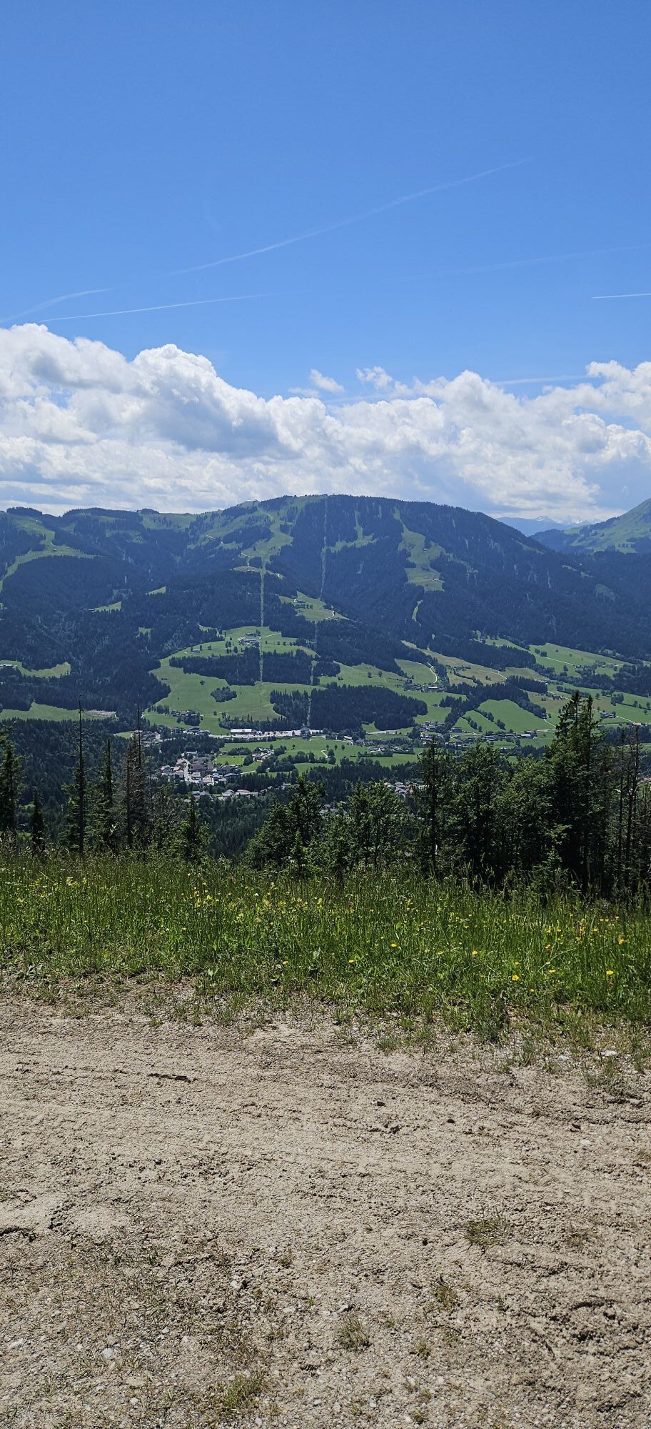
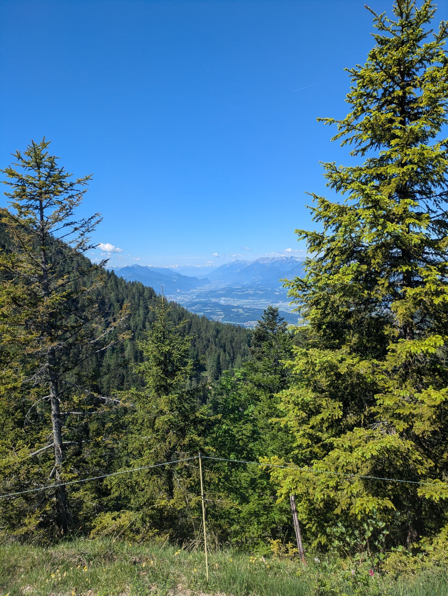
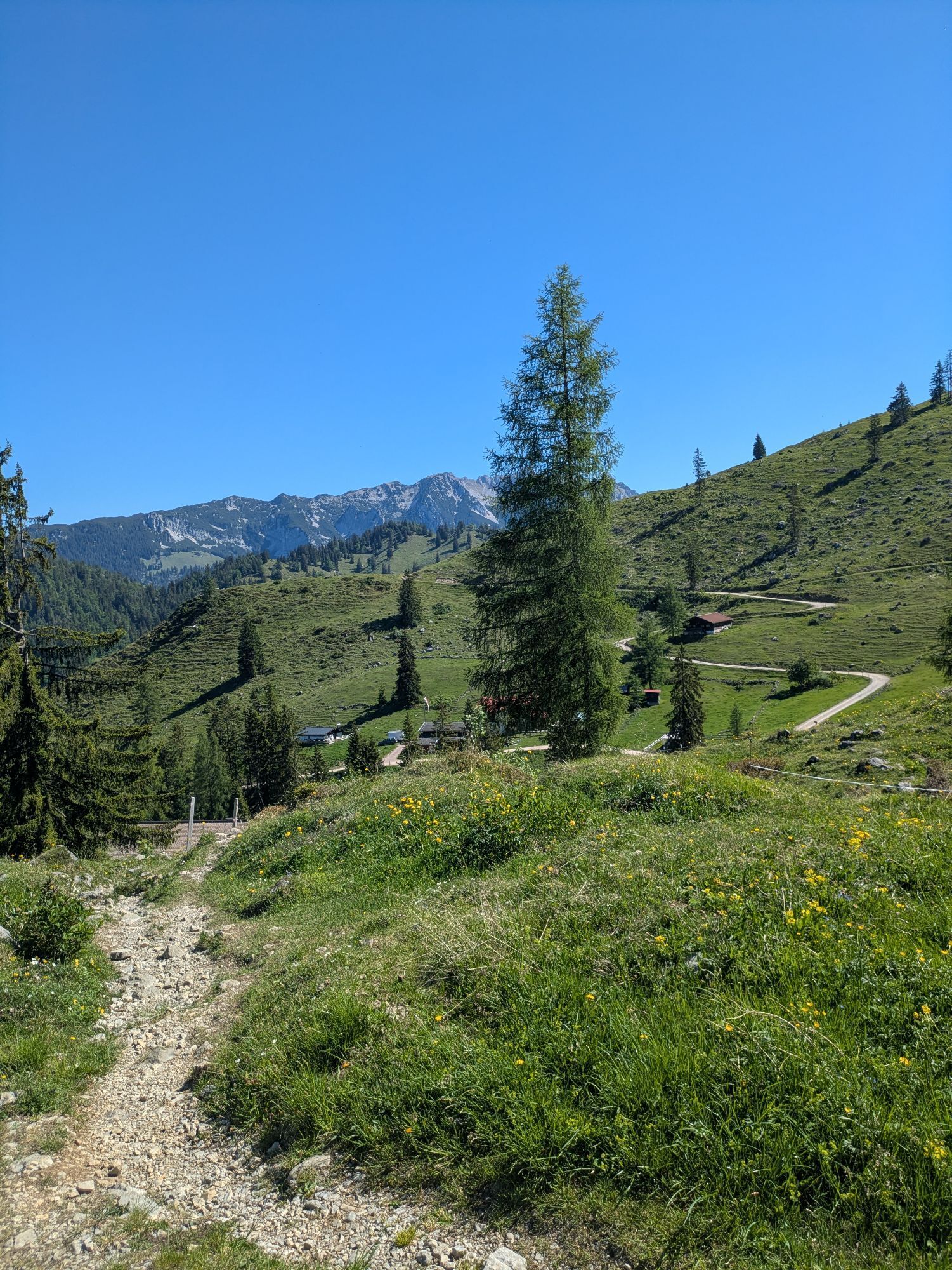
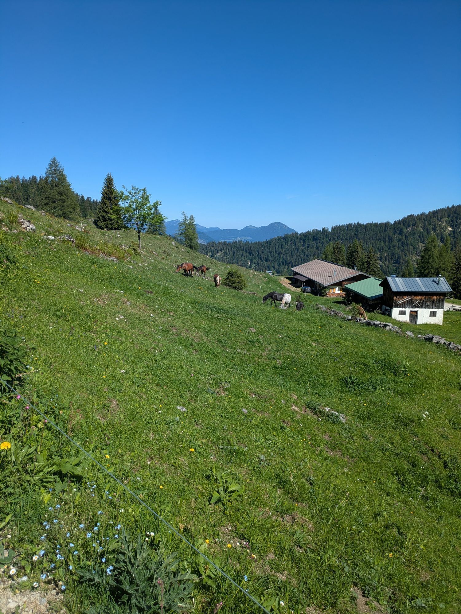
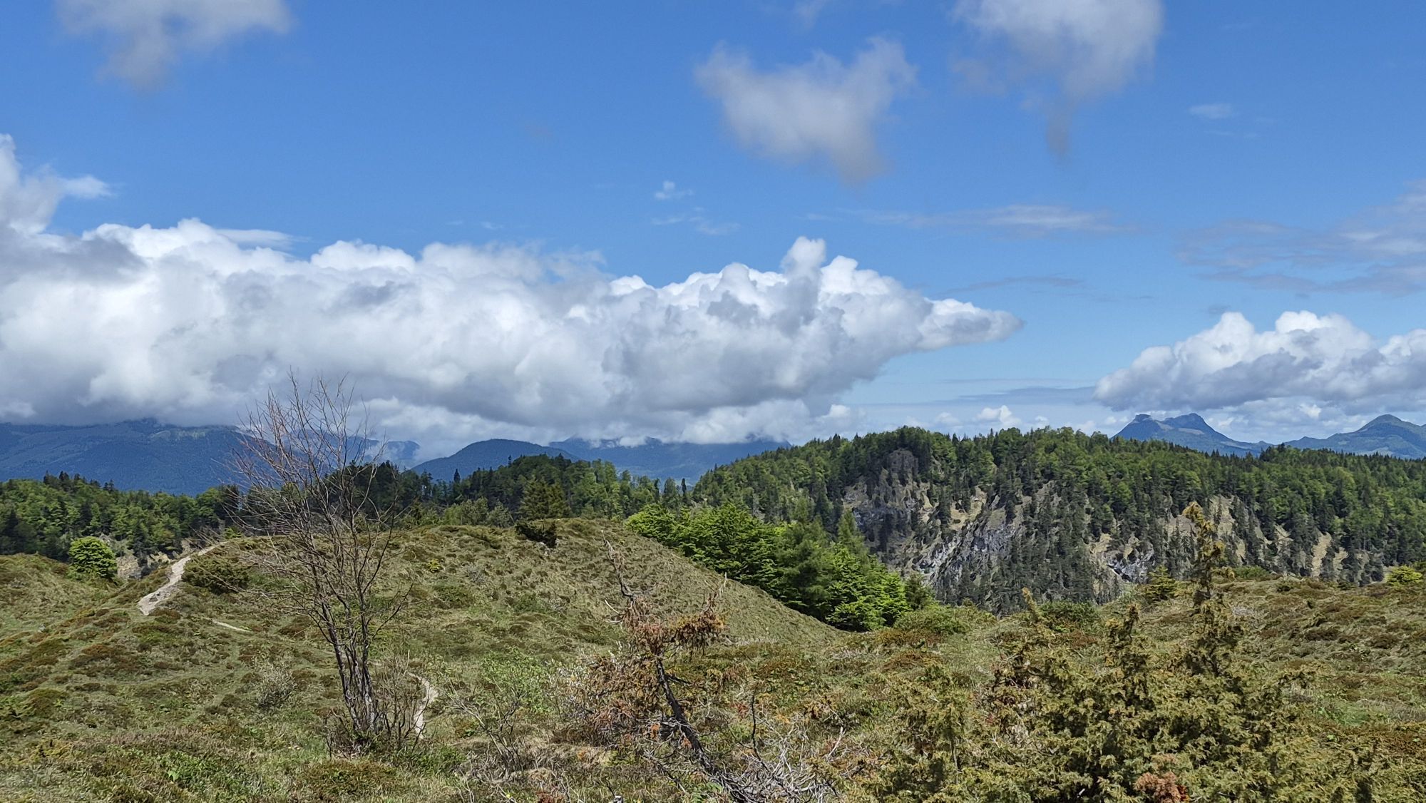
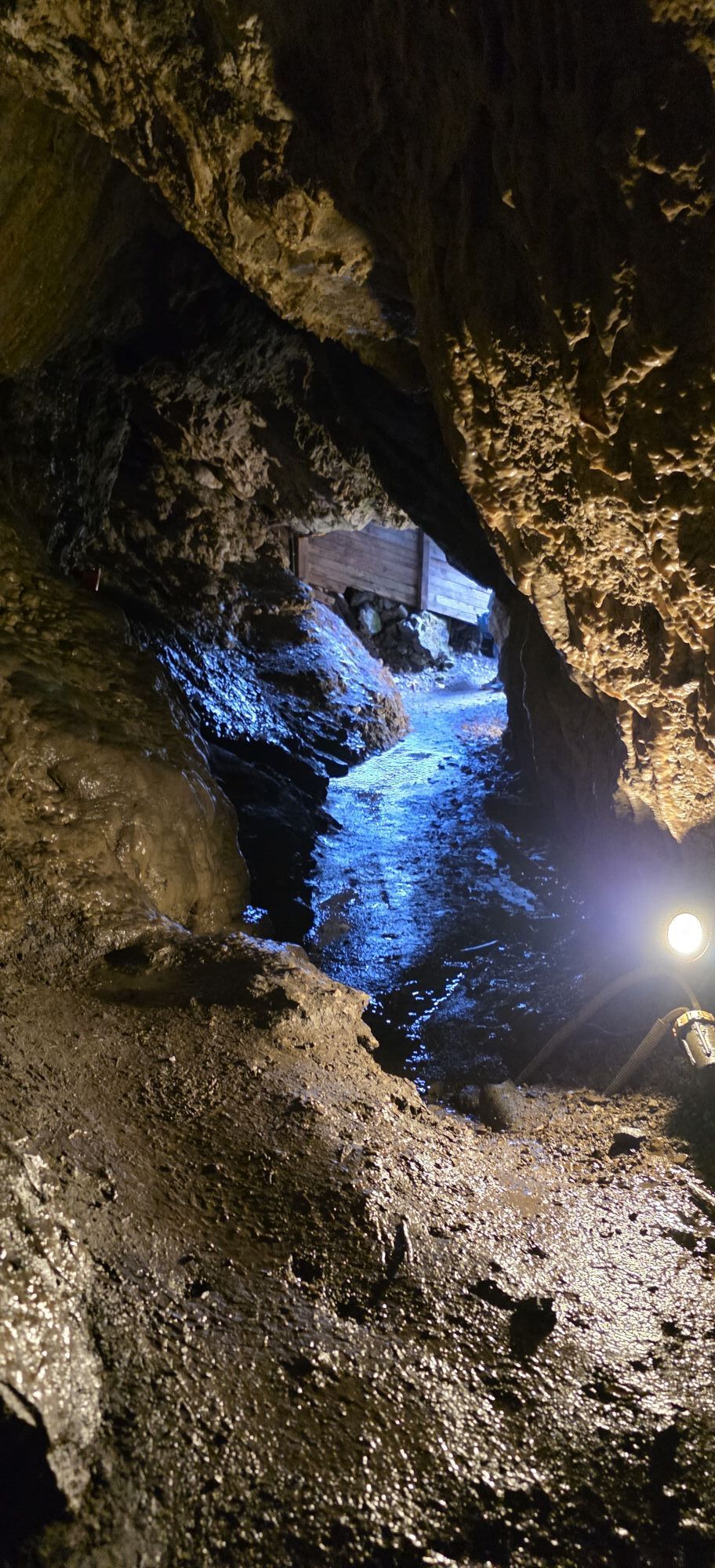
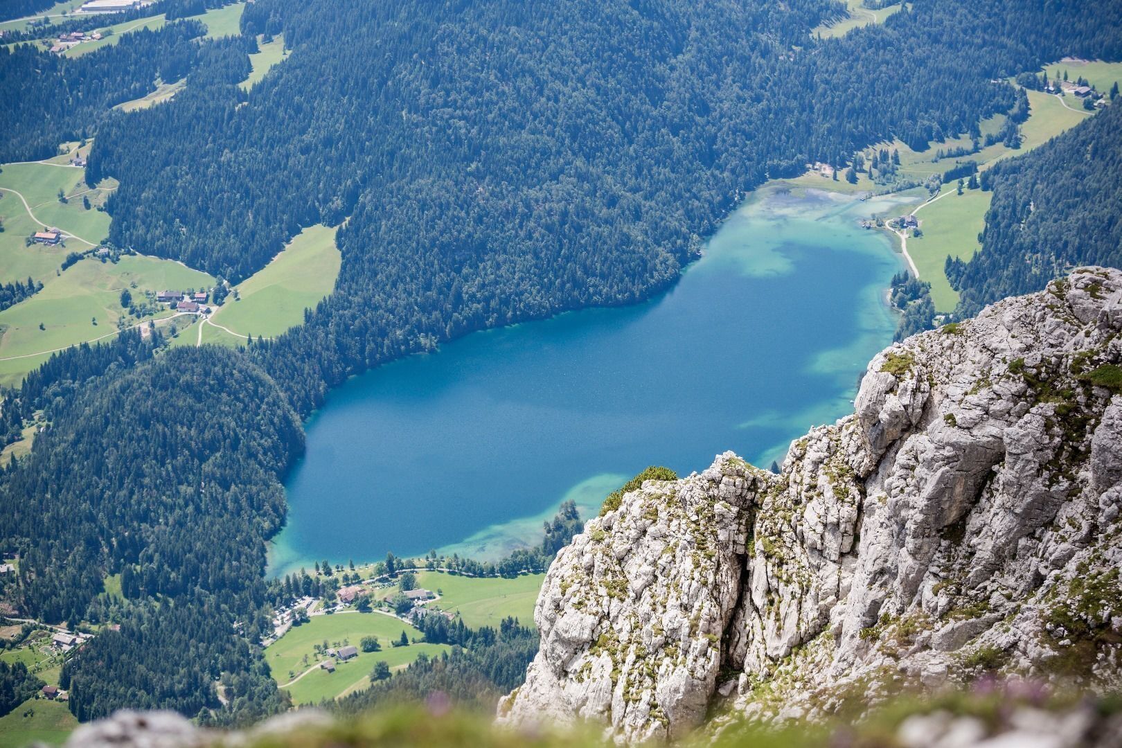
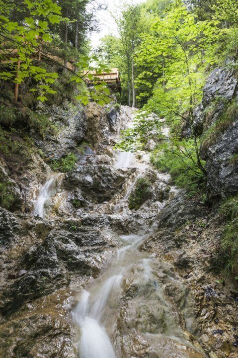
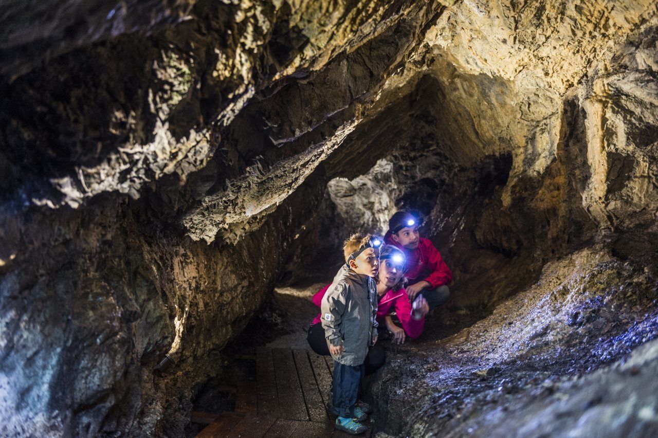
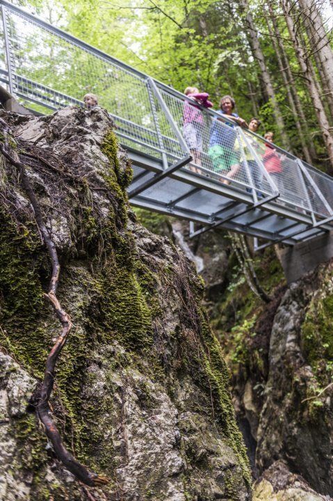
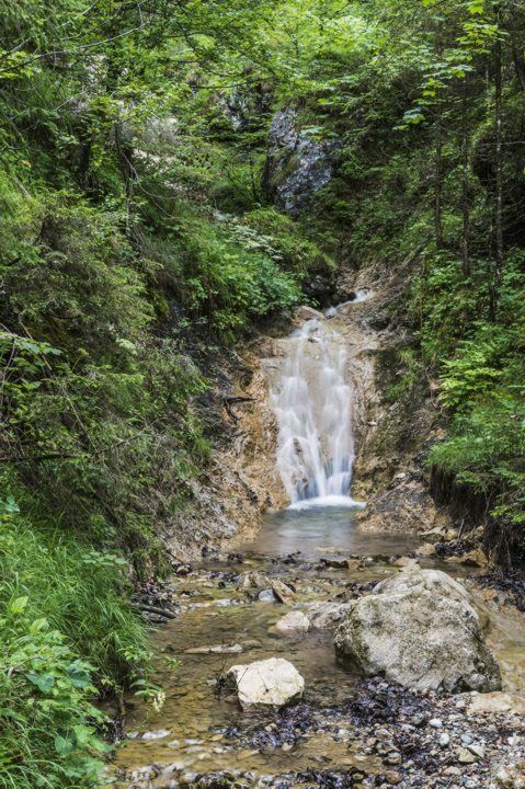
Now hike via the Steiner-Niederalm to the Hinterschiesslingalm (1,020 m) Alpine pasture. You can savour the peace and quiet at the foot of the Scheffauer, enjoy the fantastic view over the Kitzbühel Alps and the Hohe Salve mountain and tuck into specialities made by the Steiner family using Angus beef from their farm. You should then head through the wonderful Rehbachklamm gorge, which features bridges, waterfalls and a cave in an old mining tunnel, as you traverse the valley on the way back to Scheffau.
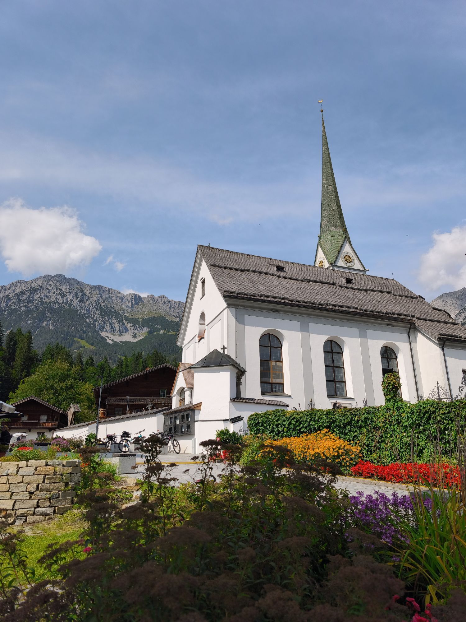
The free “KaiserJet” bus for hikers and bathers brings you back to the starting point in Going. To find out when services are running, read the information at the bus stop next to the church or online.
Requirements: a good head for heights and surefootedness; HELMET for protection against rock fall
Recommended: climbing harness and via ferrata set
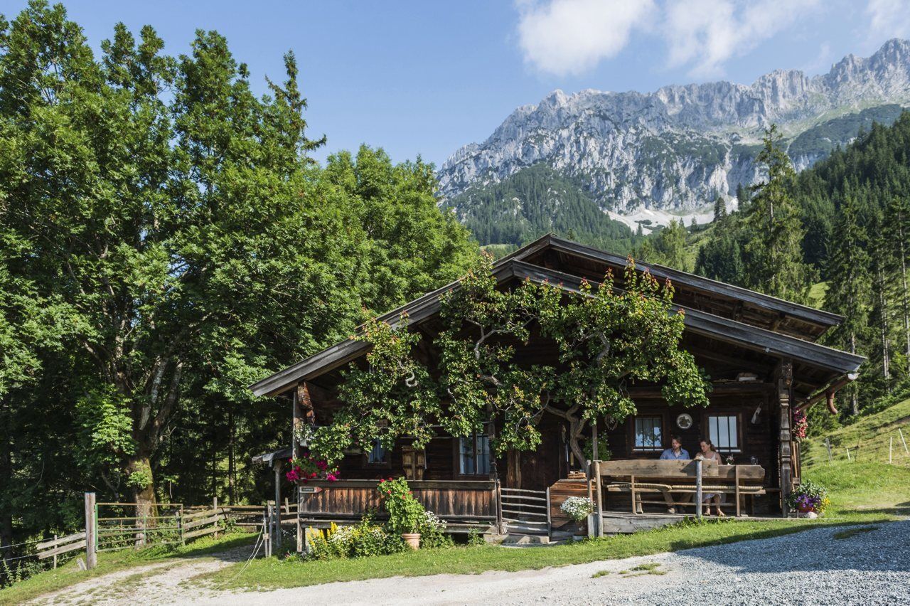
Continue on path 827 across Alpine meadows, past the Jägerbrünnl and through the forest to the cross on Hochegg mountain (1,470 m). The Adlerweg trail will guide you onward across gentle Alpine pastures to the cosy Kaindlhütte mountain hut (1,293 m) at the Steinbergalm, a beautiful high plateau above Kufstein.
At the large stone block located here, you should turn southeast on to Widauersteig trail 814. Hike through the well-shaded forest and across Alpine meadows until you come to a basin. Below the north faces, keep left until you reach the entrance to the Scheffauer. The Widauersteig trail is largely secured with steel ropes. It runs to the west of a slab rock face, crossing this via a series of ledges and finally leading to a gully. It then features a series of bends and sections of loose gravel before coming to the saddle at the crest. From here, you should proceed in an easterly direction and you will reach the summit cross of the Scheffauer in around 10 minutes. The difficulty level is A/B. Danger of rock falls – wear a helmet!
The descent takes you back to the saddle at the crest and then along the path on the south side, which is partially secured. Crossing through a field of scree, past the “Hochofen” and below the “Veitskirche” (rock formation), you will come to the Steiner-Hochalm (1,257 m) on path 814a heading south.
Now hike via the Steiner-Niederalm to the Hinterschiesslingalm (1,020 m) Alpine pasture. You can savour the peace and quiet at the foot of the Scheffauer, enjoy the fantastic view over the Kitzbühel Alps and the Hohe Salve mountain and tuck into specialities made by the Steiner family using Angus beef from their farm. You should then head through the wonderful Rehbachklamm gorge, which features bridges, waterfalls and a cave in an old mining tunnel, as you traverse the valley on the way back to Scheffau.
The free “KaiserJet” bus for hikers and bathers brings you back to the starting point in Going. To find out when services are running, read the information at the bus stop next to the church or visit www.wilderkaiser.info/en/summer-holiday/destination-tyrol/3-tage-huettenwanderung/
Wilder Kaiser hiking map (1:25.000) available at the Tourist information offices Ellmau, Going, Scheffau and Söll for € 6,90 - with Wilder Kaiser Guest Card for € 6, -.
Helmet; Additions if required: climbing harness and via ferrata set
Additions for overnight stay at mountain hut:
Mountain hut sleeping bag, indoor shoes, toiletries and towel, personal medication, headlamp, Alpine Club ID Card, cash, charger for mobile phone
The hiking routes between the huts are often rather long, we recommend taking plenty of food and drink and booking your overnight stays well in advance.
From the village of Scheffau, the free “KaiserJet” bus for hikers and bathers brings you back to the starting point in Going.
More information at: www.wilderkaiser.info/mobility

Beliebte Touren in der Nähe
- 4,7
Musikantensteig zur Naunspitze
mittelWanderung 8,96 km - 5,0
Stripsenjoch Klettersteige/ Rundwanderung von Griesener Alm über Stripsenjochhaus und Feldberg
mittelKlettersteig 10,2 km - 4,6
Hintersteinersee
mittelWanderung 9,87 km - 5,0
Schleierwasserfall Runde
mittelWanderung 5,63 km - 4,5
Über Hintersteinersee und Walleralm aufs Hochegg
leichtWanderung 12,2 km - 4,5
Wanderung um den Hintersteinersee
leichtWanderung 5,29 km - 4,9
Kirchdorf: Kaiserbachtal - Stripsenkopf und Feldberg
schwerWanderung 12,6 km - 4,9
Gruttenhütte über Klammlweg
mittelWanderung 5,61 km - 4,8
Ellmauer Tor (22.07.2020)
mittelWanderung 9,32 km - 4,9
Route 209: Brechhornhaus-Choralpe
schwerMountainbike 24,4 km
Wandern & Tracking


Verpasse keine Angebote und Inspirationen für deinen nächsten Urlaub
Deine E-Mail-Adresse wurde in den Verteiler eingetragen.