Laurin - Agordo - Chiesa Santa Maria Nascente - Villalta
schwer
Hol diese Tour auf dein Handy
Laurin - Agordo - Chiesa Santa Maria Nascente - Villalta
schwer
Rennrad
58,71
km
QR-Code scannen und Navigation in der bergfex App beginnen

Wandern & Tracking


Laurin - Agordo - Chiesa Santa Maria Nascente - Villalta
schwer
Distanz
58,71
km
Dauer
03:14
h
Aufstieg
1.209
hm
Seehöhe
609 -
1.917
m
Track-Download
Laurin - Agordo - Chiesa Santa Maria Nascente - Villalta
schwer
Rennrad
58,71
km


Wegverlauf
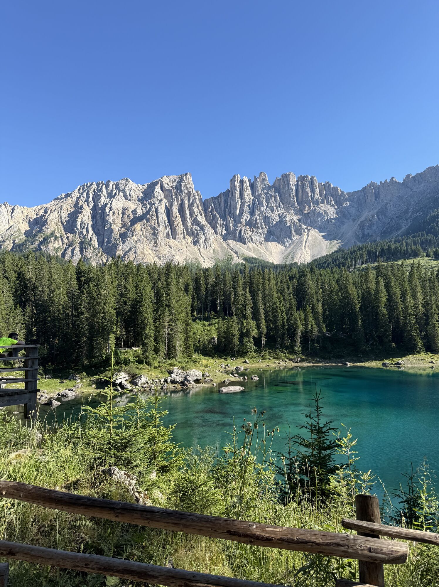
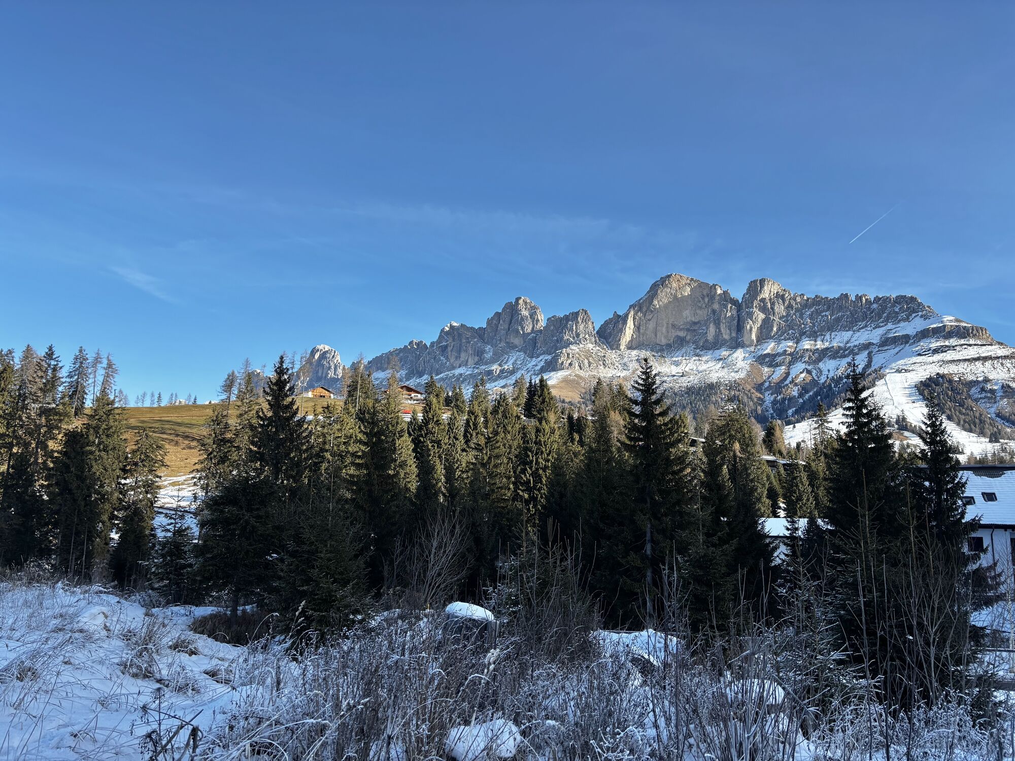
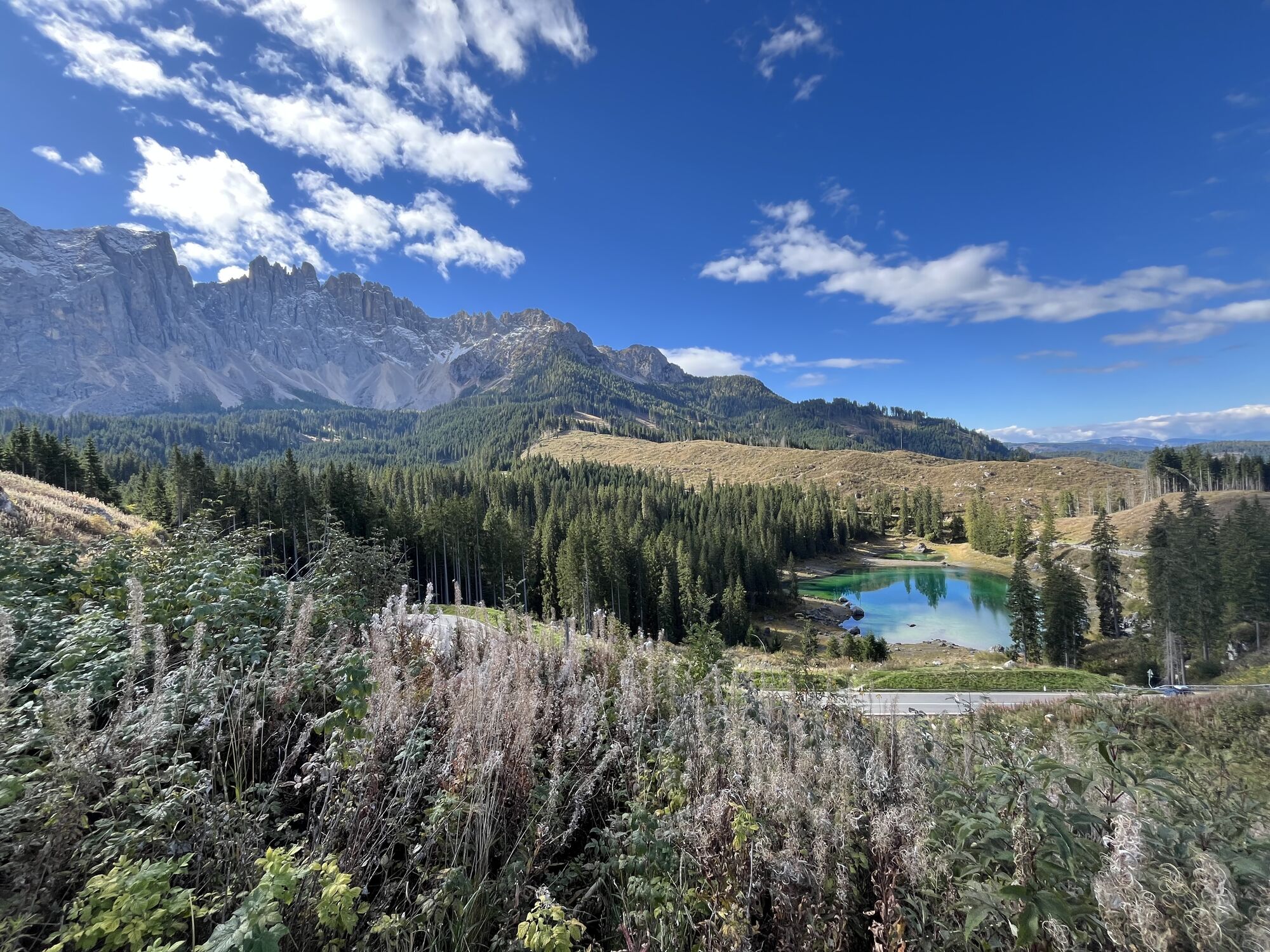
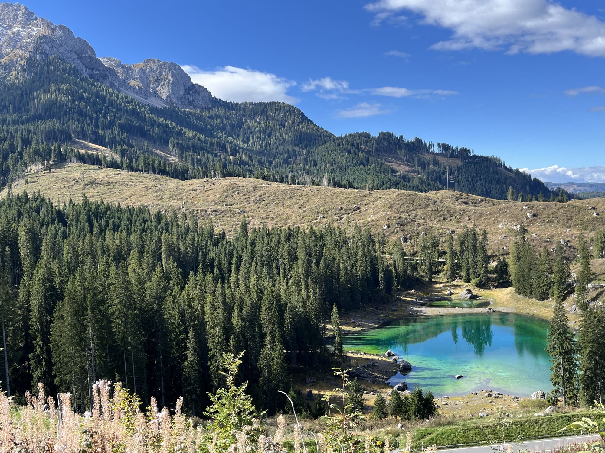
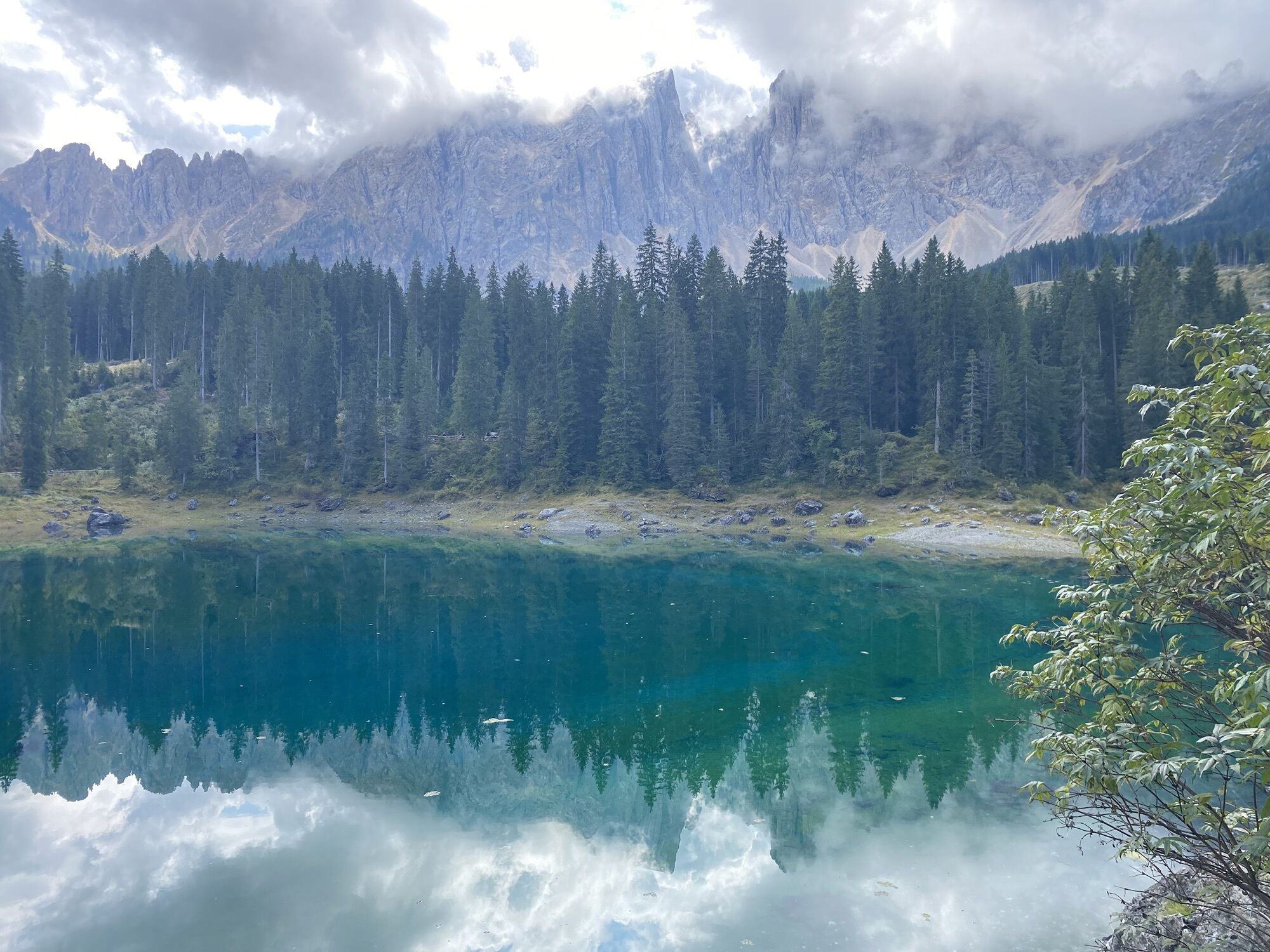
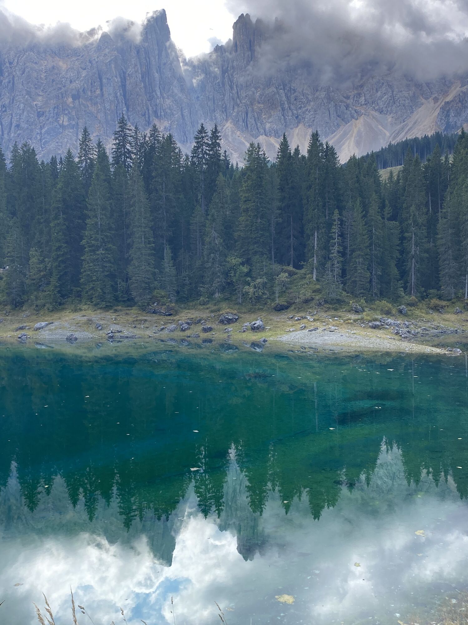
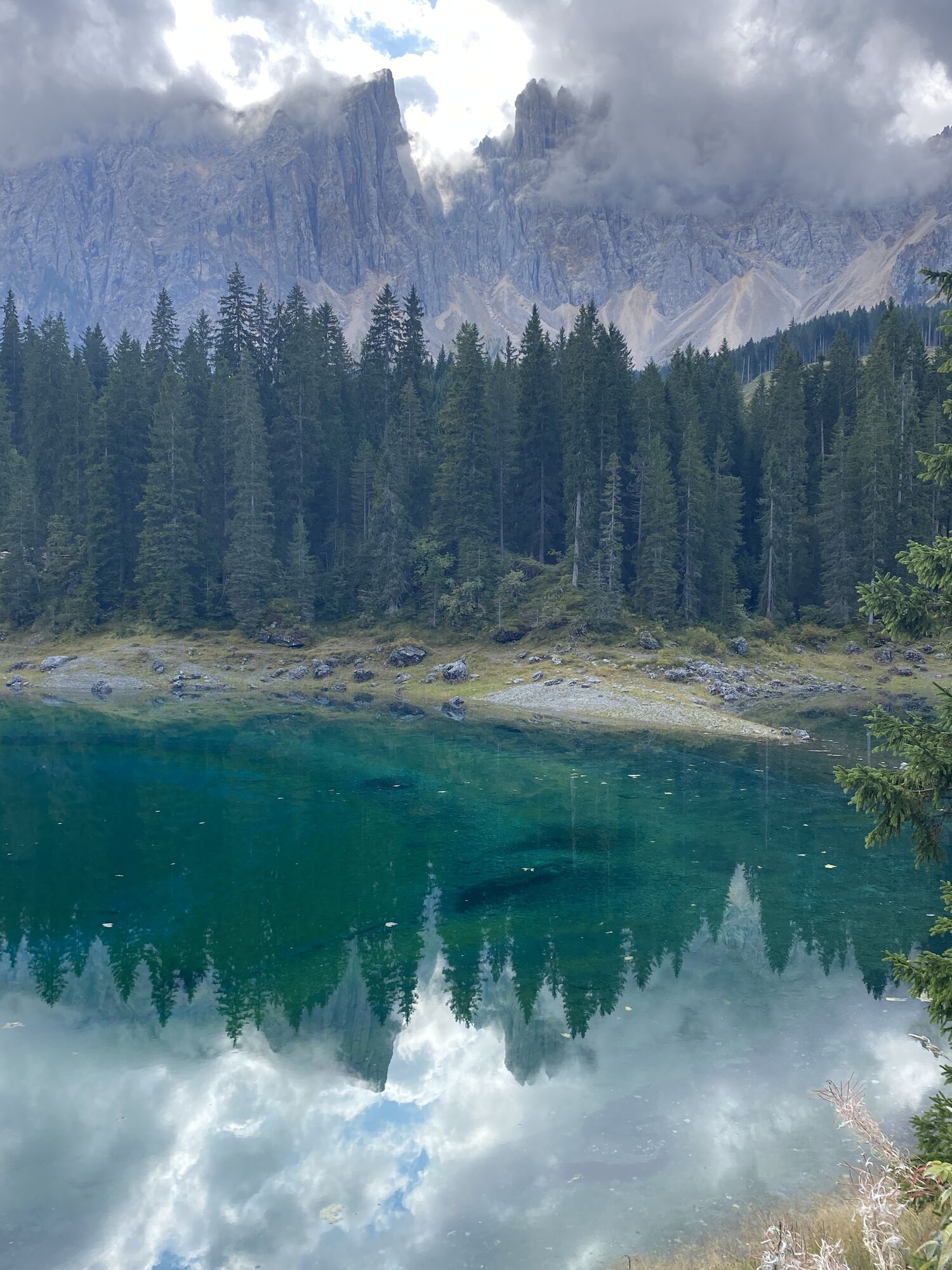
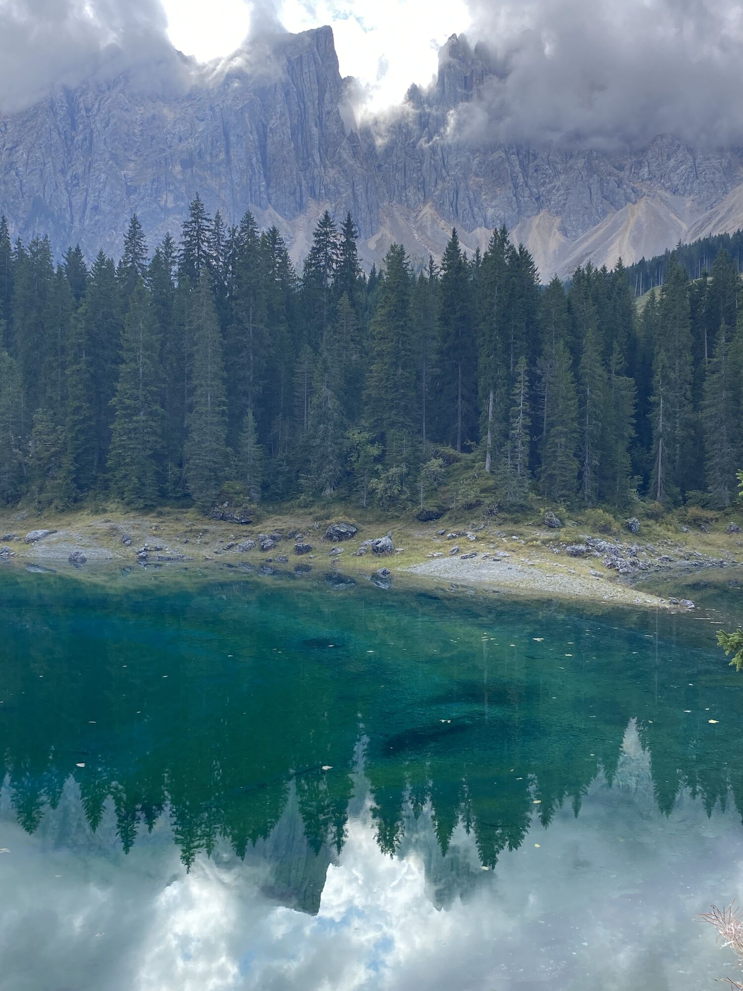
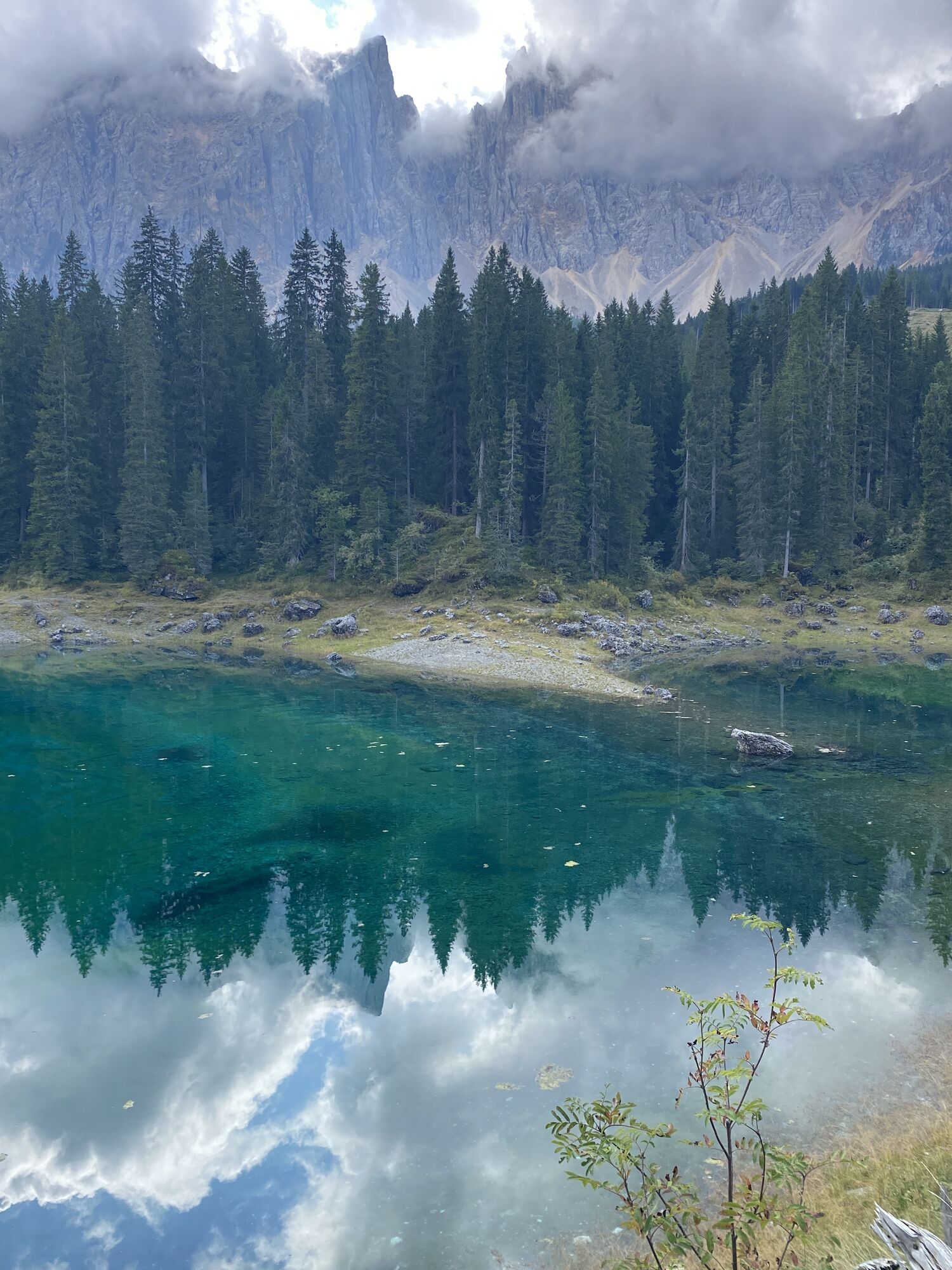
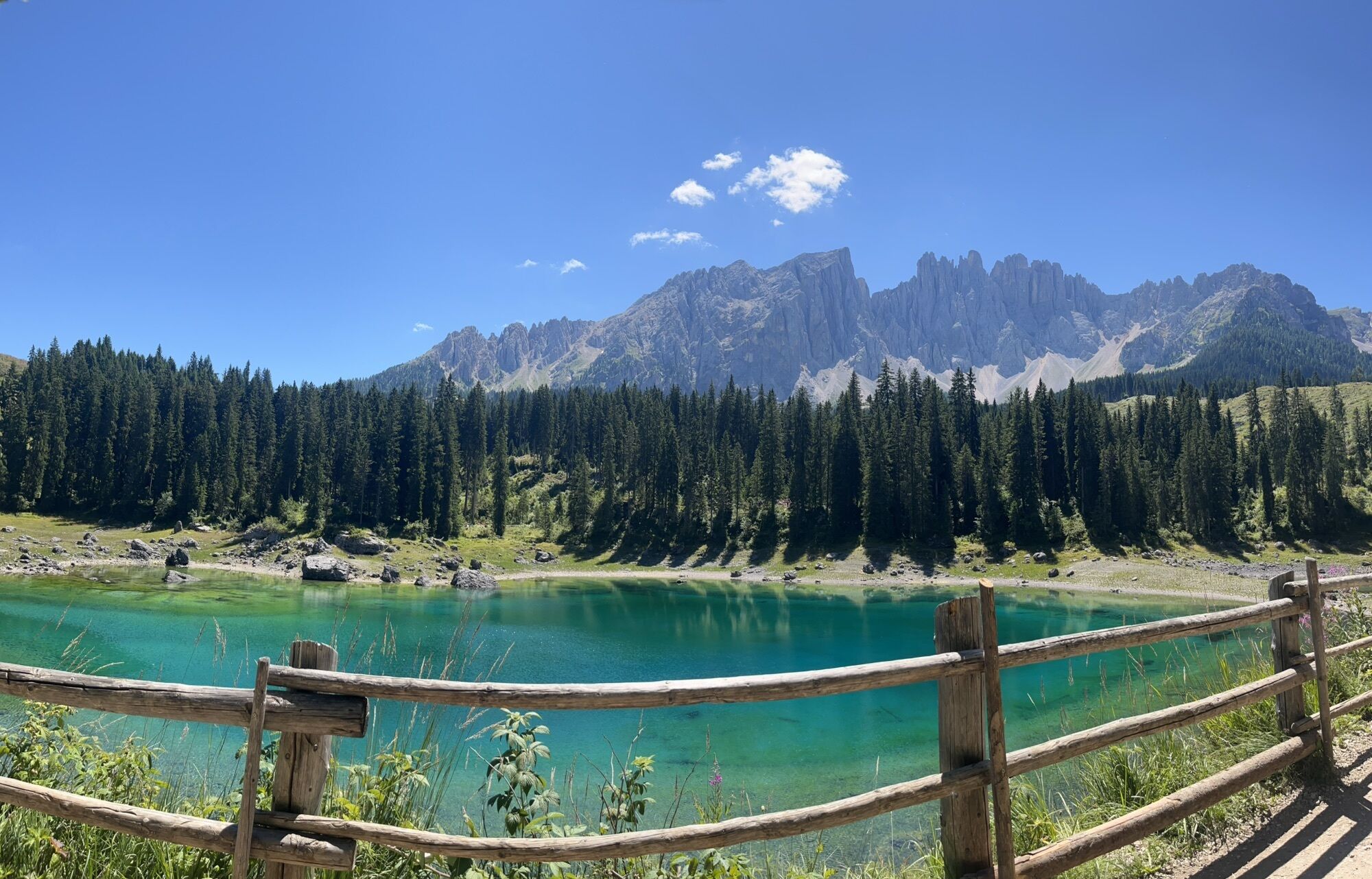
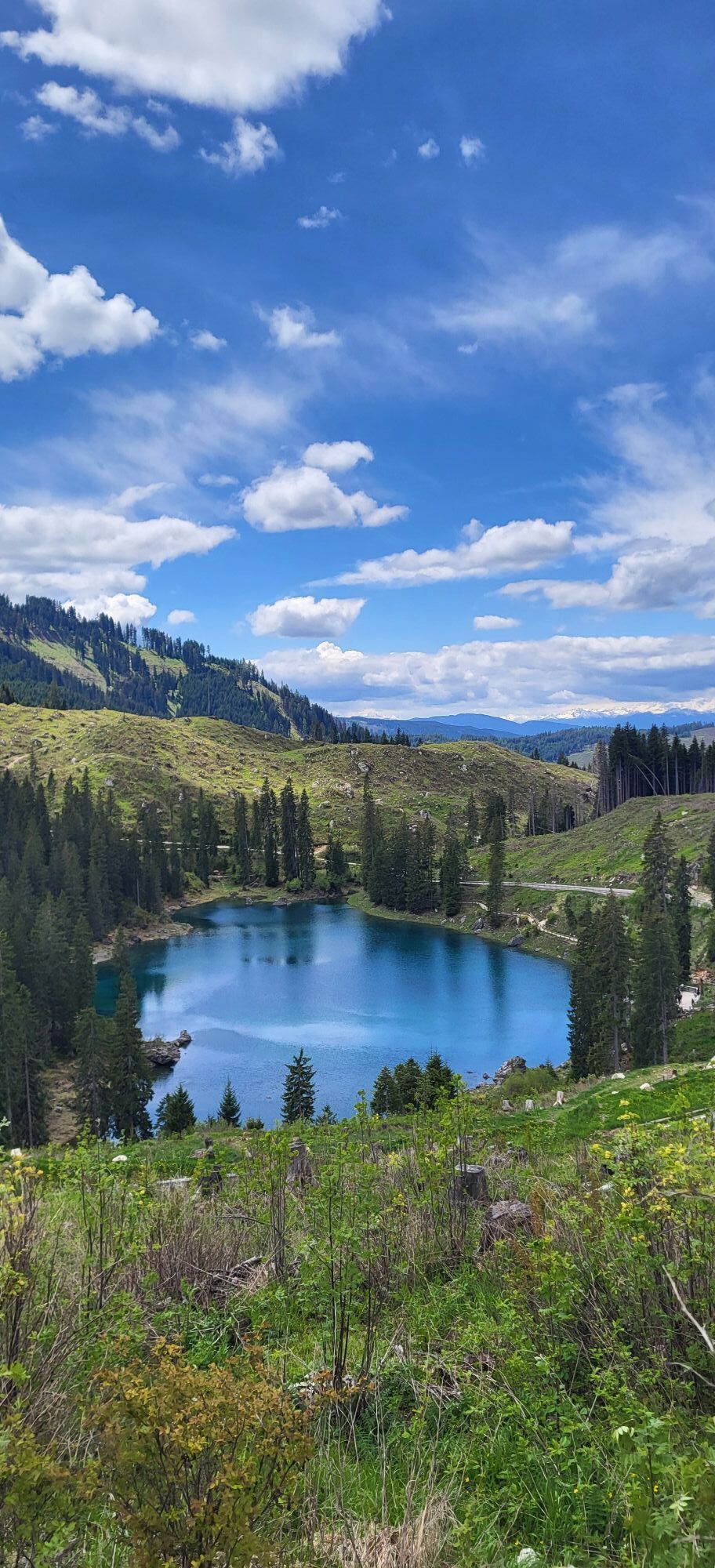
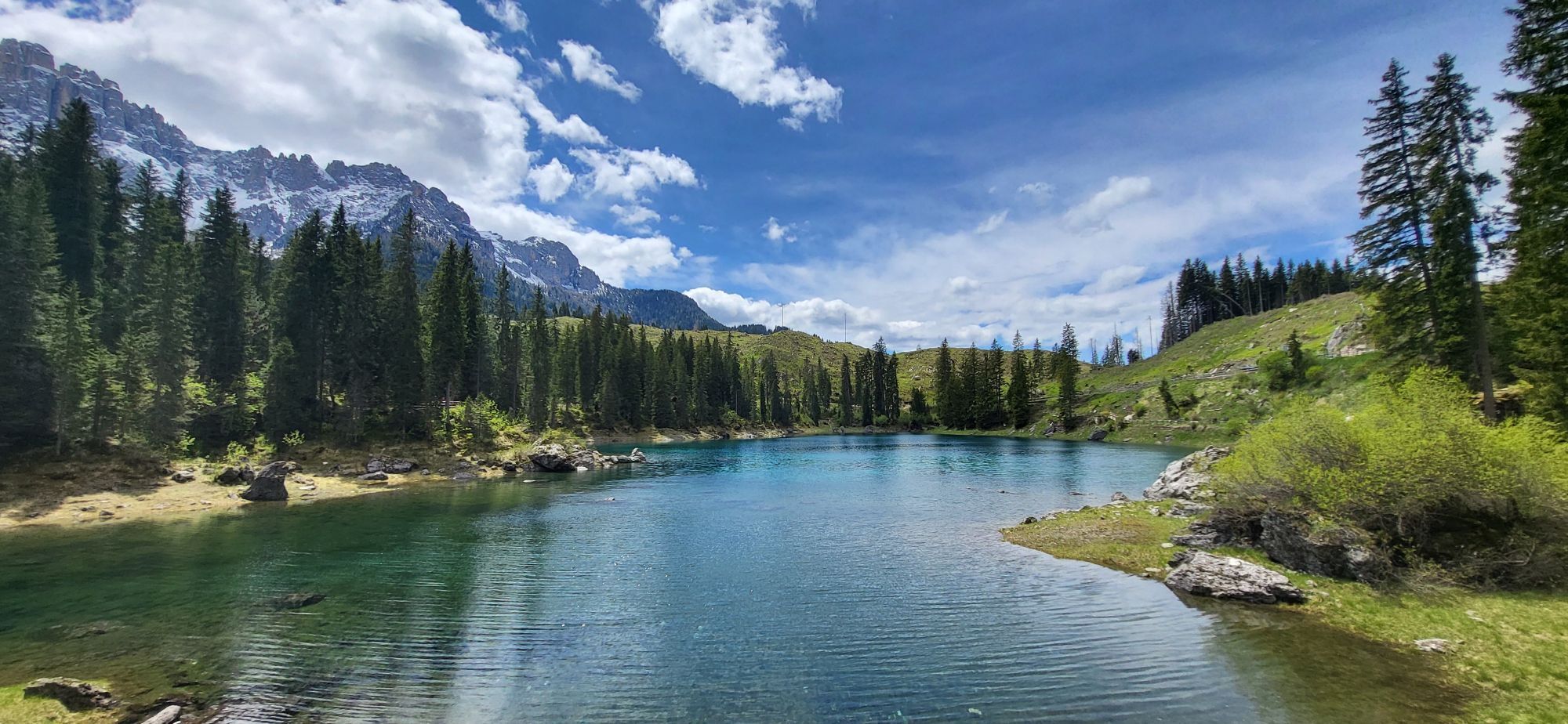
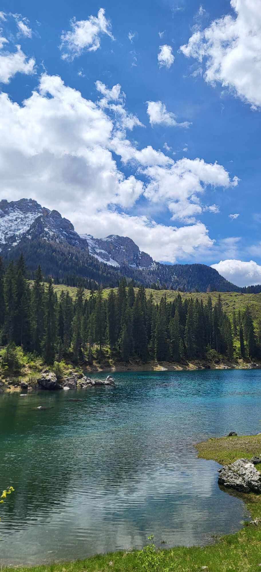
Karersee
(1.650 m)
Dorf
1,6 km
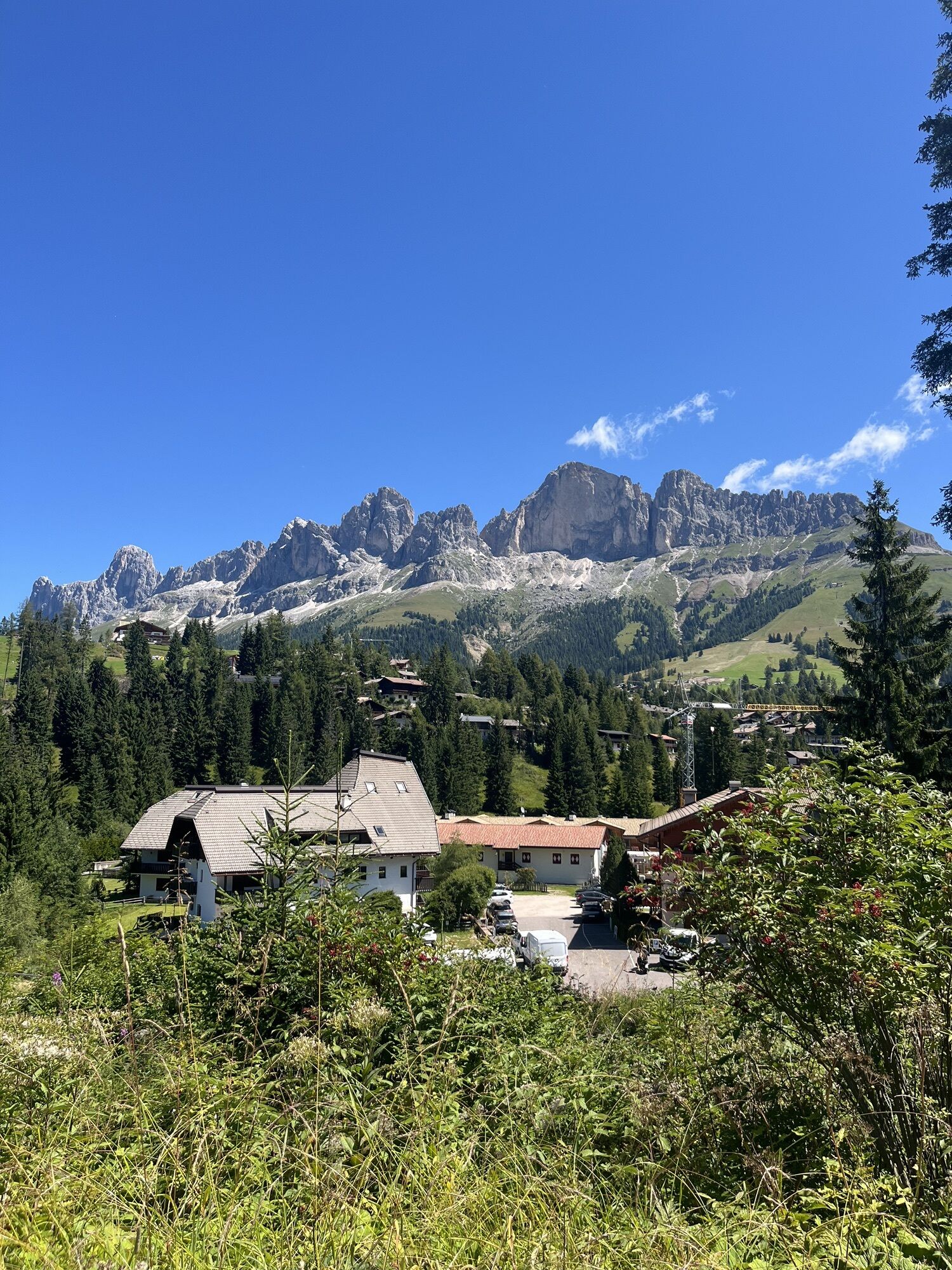
Moyen
(1.170 m)
Dorf
18,0 km
Falcade Alto
(1.307 m)
Siedlung
37,5 km
Celat
(966 m)
Siedlung
45,2 km
Palù
(760 m)
Siedlung
48,9 km
Ghirlo
(744 m)
Siedlung
49,8 km
Chiesa Santa Maria Nascente
(612 m)
Andachtsstätte
58,5 km
Wegverlauf
Laurin - Agordo - Chiesa Santa Maria Nascente - Villalta
schwer
Rennrad
58,71
km
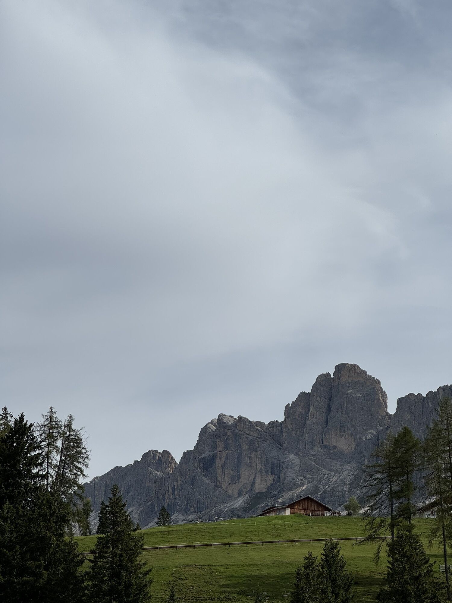
Laurin
(1.609 m)
Restaurant
1,1 km
Karersee
(1.650 m)
Dorf
1,6 km
Valongia
(1.509 m)
Siedlung
10,3 km
Costa
(1.394 m)
Siedlung
11,6 km
Vigo di Fassa - Vich
(1.394 m)
Dorf
11,9 km
Sèn Jan
(1.334 m)
Siedlung
12,4 km
Ja Vito
(1.208 m)
Restaurant
15,6 km
Überwasser
(1.206 m)
Dorf
15,6 km
Moyen
(1.170 m)
Dorf
18,0 km
Fango
(1.644 m)
Flur/Gelände
24,8 km
Bar Ristorante Malga Negritella
(1.769 m)
Restaurant
26,9 km
Alochet
(1.788 m)
Restaurant
27,0 km
Snow thrill
(1.906 m)
Restaurant
29,5 km
Chalet Isabella
(1.913 m)
Restaurant
30,3 km
Zingari Bassi
(1.748 m)
Flur/Gelände
32,5 km
Ganz
(1.348 m)
Siedlung
37,3 km
Falcade Alto
(1.307 m)
Siedlung
37,5 km
Villotta
(1.212 m)
Siedlung
38,1 km
Molino
(1.195 m)
Stadtviertel
38,6 km
Pizzeria La Stua
(1.156 m)
Restaurant
39,7 km
Falcade
(1.140 m)
Dorf
40,2 km
Caviola
(1.101 m)
Dorf
42,3 km
La Mora
(1.059 m)
Siedlung
42,7 km
Canale d'Agordo
(972 m)
Dorf
43,7 km
Celat
(966 m)
Siedlung
45,2 km
Mas
(902 m)
Siedlung
46,0 km
Balestier
(913 m)
Siedlung
48,1 km
I Coi
(792 m)
Siedlung
48,3 km
Villagrande
(774 m)
Siedlung
48,4 km
Cencenighe Agordino
(769 m)
Dorf
48,5 km
Veronetta
(772 m)
Stadtviertel
48,5 km
Le Grave
(762 m)
Stadtviertel
48,7 km
Palù
(760 m)
Siedlung
48,9 km
Antica Trattoria Pizzeria PALU’
(753 m)
Restaurant
49,1 km
Pascol
(759 m)
Siedlung
49,2 km
Roa
(765 m)
Siedlung
49,4 km
Col da Campo
(783 m)
Siedlung
49,5 km
Vare Alte
(777 m)
Siedlung
49,6 km
Vare Basse
(747 m)
Siedlung
49,7 km
Faè
(748 m)
Siedlung
49,7 km
Ghirlo
(744 m)
Siedlung
49,8 km
Morbiach
(731 m)
Siedlung
50,1 km
Listolade
(680 m)
Dorf
53,8 km
Ronch de Bós
(670 m)
Siedlung
54,6 km
Pèden
(623 m)
Dorf
55,6 km
Taibon Agordino
(616 m)
Dorf
55,9 km
Bries
(626 m)
Siedlung
56,5 km
Toccol
(612 m)
Siedlung
57,3 km
Prompicai
(614 m)
Siedlung
57,5 km
Parech
(624 m)
Siedlung
57,8 km
Agordo
(610 m)
Stadt
58,5 km
Chiesa Santa Maria Nascente
(612 m)
Andachtsstätte
58,5 km
La Pief de Agort
(613 m)
Dorf
58,5 km
Villalta
(629 m)
Siedlung
58,6 km
Noch keine Bewertungen
Webcams der Tour
Marmolada
Ciampedie - Rosengarten
Ciampedie - Rosengarten
Ciampedie - Rosengarten
Ciampedie - Rosengarten
Col Margherita
Col Margherita
Col Margherita
Le Cune
Le Cune
Le Cune
Le Cune
Le Cune
Le Cune
Falcade
Welschnofen - Nigglhof
Le Cune
Le Buse
Le Buse
Le Buse
Costabella
Costabella
Costabella
Costabella
Costabella
Arrivo funivia col Margherita
Lago Cavia
Seggiovia Lago cavia Col Margherita
Col Margherita
Col Margherita
Col Margherita
Col Margherita
Catinaccio - Rosengarten Pra Martin
Ciampedie - Rosengarten
Ciampedie - Rosengarten
Ciampedie - Rosengarten
Ciampedie - Rosengarten
Catinaccio - Rosengarten Pra Martin
Catinaccio - Rosengarten Pra Martin
Le Cune
Beliebte Touren in der Nähe
- 4,6
Pordoijoch - Sass Pordoi - Pordoi Scharte - Piz Boè - Bamberger Hütte - Pordoi Scharte - Pordoijoch
schwerWanderung 8,39 km - 4,4
Dolomiten Sellagruppe, Alb. Col di Lana, Sas de Pordoi, Piz Boé retour 22.06.2016
mittelWanderung 5 km - 5,0
Ciampedie - Gardeccia - Preuss- und Vajolet Hütten - Gartlhütte - Gardeccia - Ciampedie
schwerWanderung 11,8 km - 4,7
Passo Costalunga - Sella del Ciampaz
mittelWanderung 8,35 km - 5,0
Ciampedie - Gardeccia - Grasleitenpass - Antermoia Hütte - Val Duron - Campitello
schwerWanderung 18,7 km - 5,0
Via Ferrata "Cesare Piazzetta"
schwerKlettersteig 9,07 km - 4,7
Etappe 1 Dolomiti Trek King im Herbst - Rosengarten
schwerWanderung 15,3 km - 4,0
Viel dal pan
leichtWanderung 6,60 km - 4,5
Kölner Hütte - Hirzelsteig - Rotwandhütte - Baita Tre - Karerpass
mittelWanderung 9,56 km - 4,4
Cavallazza Spitze
mittelWanderung 7,82 km
Wandern & Tracking

Über 550.000 Tourenvorschläge, detailliertes Kartenmaterial und ein intuitiver Routenplaner machen die App zum Must-have für alle Naturbegeisterten.

Verpasse keine Angebote und Inspirationen für deinen nächsten Urlaub
Zum Newsletter anmelden
Fehler
Ein Fehler ist aufgetreten. Bitte versuche es erneut.Vielen Dank für deine Anmeldung
Deine E-Mail-Adresse wurde in den Verteiler eingetragen.
Touren in ganz Europa
Österreich Schweiz Deutschland Italien Slowenien Frankreich Niederlande Belgien Polen Liechtenstein Tschechien Slowakei Spanien Kroatien Bosnien und Herzegowina Luxemburg Andorra Portugal Island Vereinigtes Königreich Irland Griechenland Albanien Nordmazedonien Malta Norwegen Montenegro Moldau Kosovo Ungarn San Marino Rumänien Estland Lettland Belarus Zypern Litauen Serbien Bulgarien Monaco Dänemark Schweden Finnland