


4 peaks - 1 lake at Loser
Fotos unserer User

 © Horst Fischer 1Erstellt am 29.06.2024
 © Gust junErstellt am 12.08.2023
 © Chantal PlettenbergErstellt am 01.06.2023
 © Robert8992Erstellt am 31.10.2025
 © Robert8992Erstellt am 31.10.2025
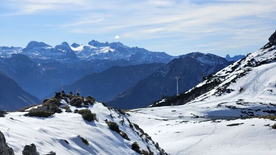 © Robert8992Erstellt am 31.10.2025
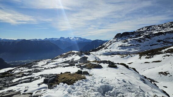 © Robert8992Erstellt am 31.10.2025
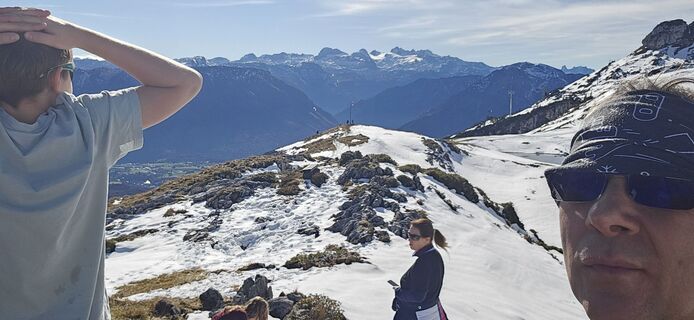 © Robert8992Erstellt am 31.10.2025
 © Robert8992Erstellt am 31.10.2025
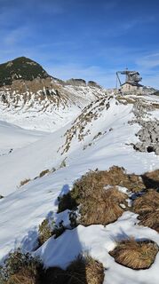 © Robert8992Erstellt am 31.10.2025
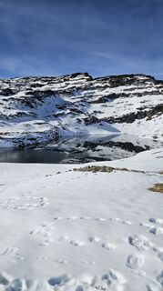 © Robert8992Erstellt am 31.10.2025
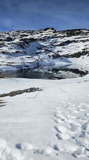 © Robert8992Erstellt am 31.10.2025
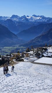 © Robert8992Erstellt am 31.10.2025
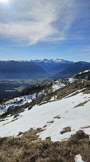 © Robert8992Erstellt am 31.10.2025
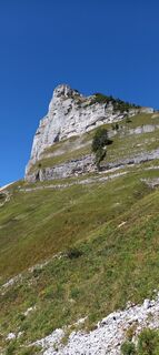 © HihnandreasErstellt am 19.09.2025
 © HihnandreasErstellt am 19.09.2025
 © HihnandreasErstellt am 19.09.2025
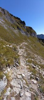 © HihnandreasErstellt am 19.09.2025
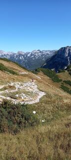 © HihnandreasErstellt am 19.09.2025
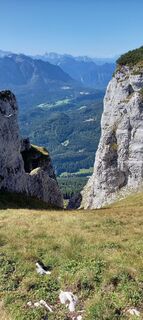 © HihnandreasErstellt am 19.09.2025
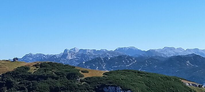 © HihnandreasErstellt am 19.09.2025
 © EureliaErstellt am 13.09.2025
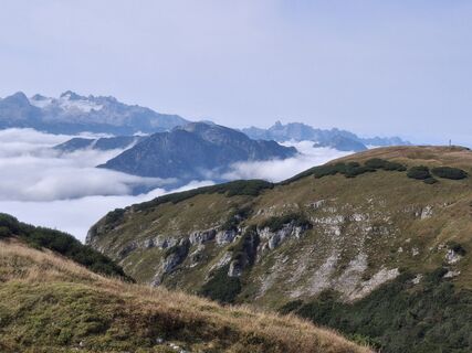 © EureliaErstellt am 13.09.2025
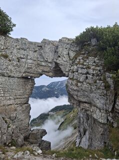 © EureliaErstellt am 13.09.2025
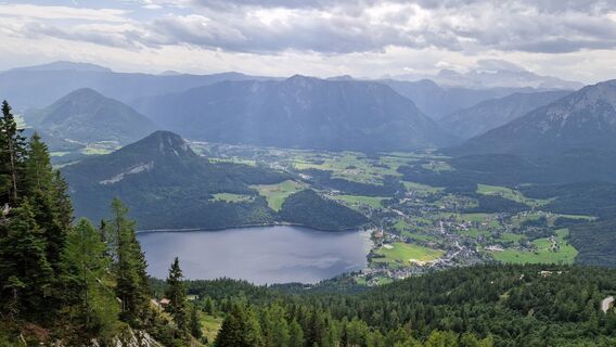 © Herwig DanekErstellt am 28.08.2025
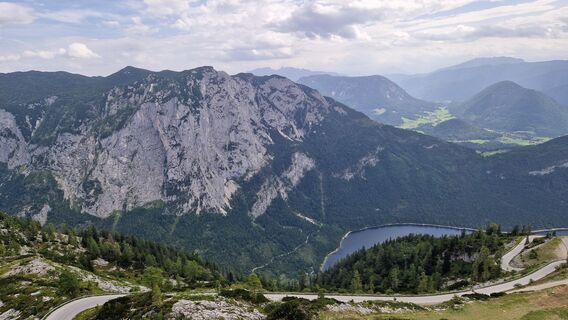 © Herwig DanekErstellt am 28.08.2025
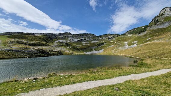 © Herwig DanekErstellt am 28.08.2025
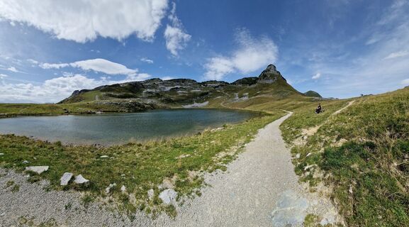 © Herwig DanekErstellt am 28.08.2025
 © Herwig DanekErstellt am 28.08.2025
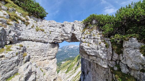 © Herwig DanekErstellt am 28.08.2025
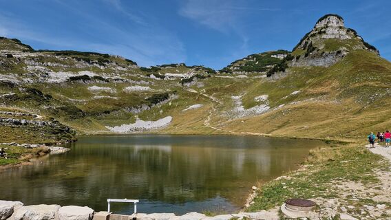 © Herwig DanekErstellt am 28.08.2025
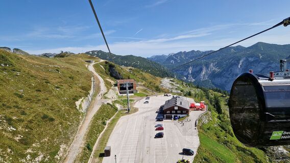 © Herwig DanekErstellt am 28.08.2025
 © CTErstellt am 26.08.2025
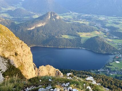 © CTErstellt am 26.08.2025
 © CTErstellt am 26.08.2025
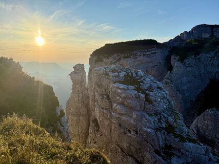 © CTErstellt am 26.08.2025
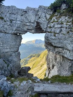 © CTErstellt am 26.08.2025
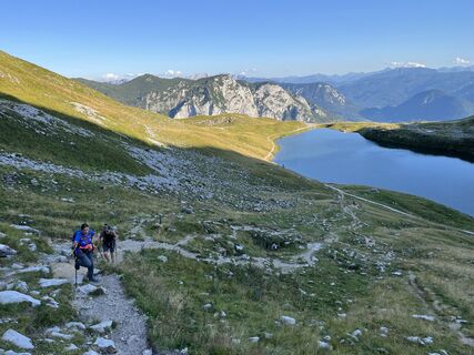 © CTErstellt am 26.08.2025
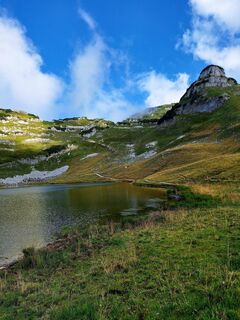
 © Silvia UhlErstellt am 18.08.2025
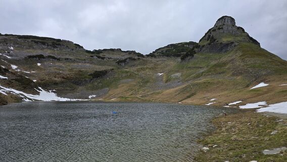
 © Sonja SchaludErstellt am 28.05.2025
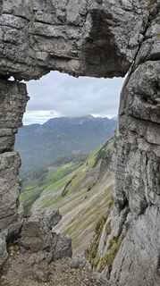 © Sonja SchaludErstellt am 28.05.2025
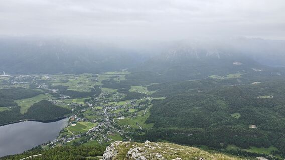 © Sonja SchaludErstellt am 28.05.2025
 © Sonja SchaludErstellt am 28.05.2025
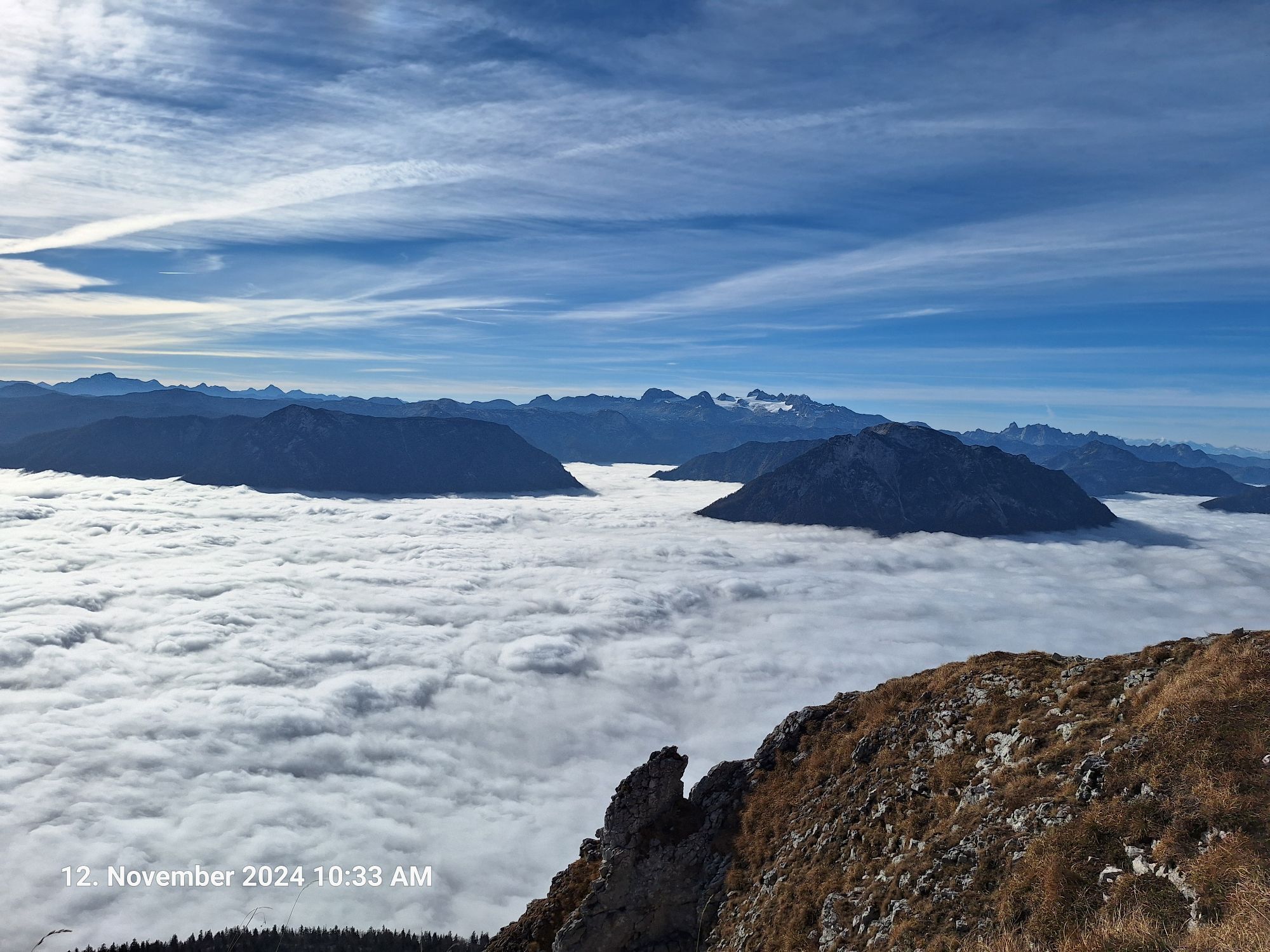
 © Markus Bischof 3Erstellt am 12.11.2024
 © Markus Bischof 3Erstellt am 12.11.2024
 © Markus Bischof 3Erstellt am 12.11.2024
 © Markus Bischof 3Erstellt am 12.11.2024
 © Klaus LehnerErstellt am 20.10.2024


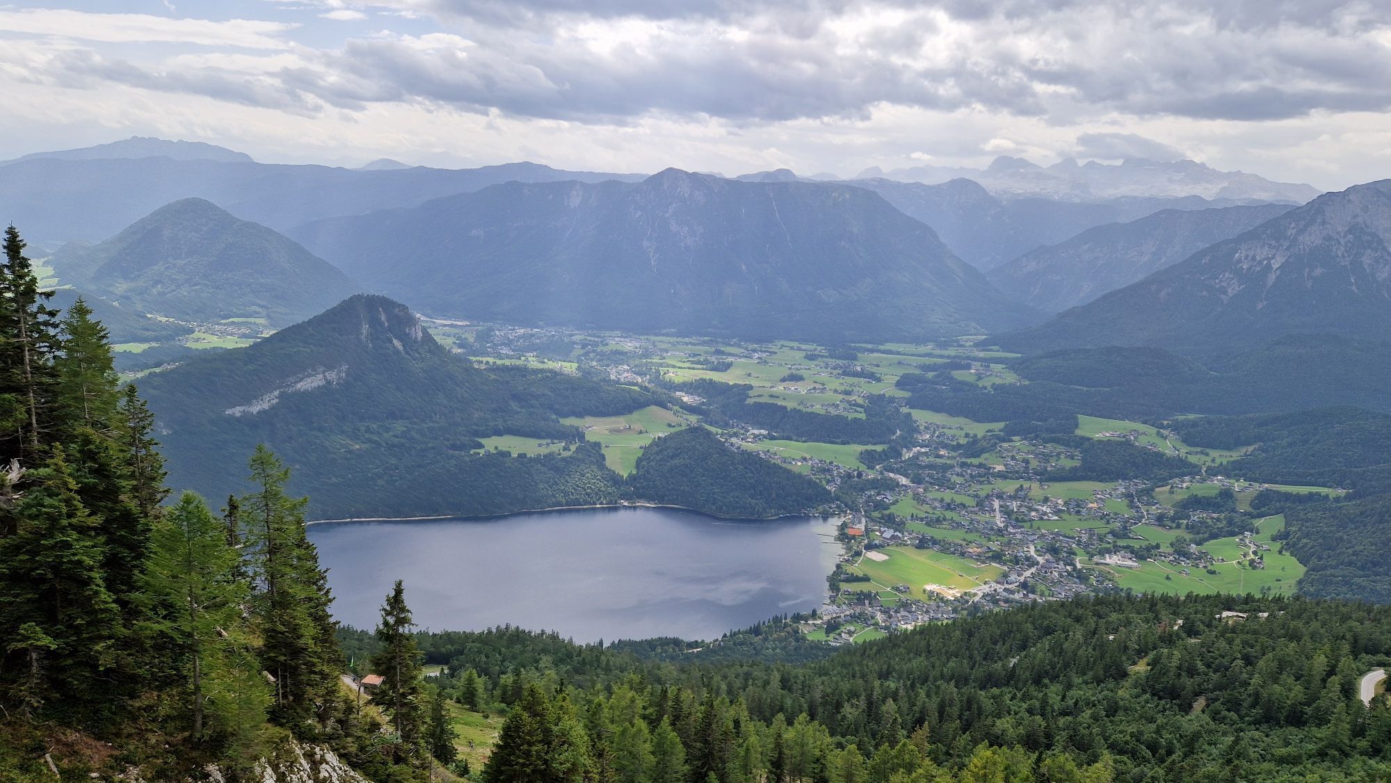


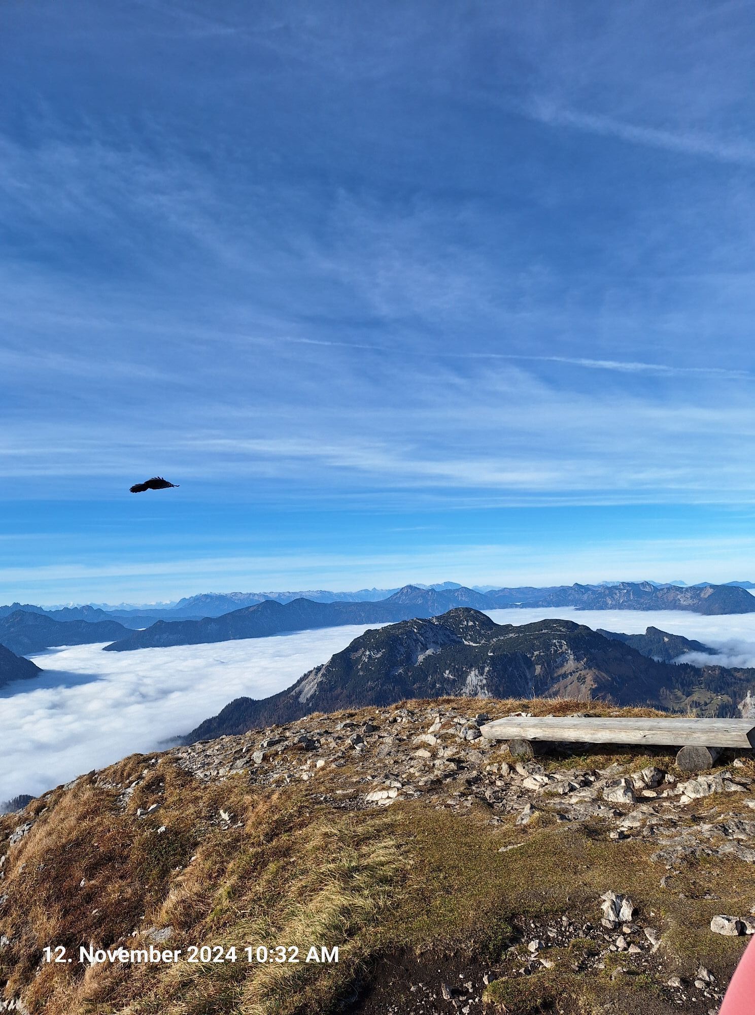
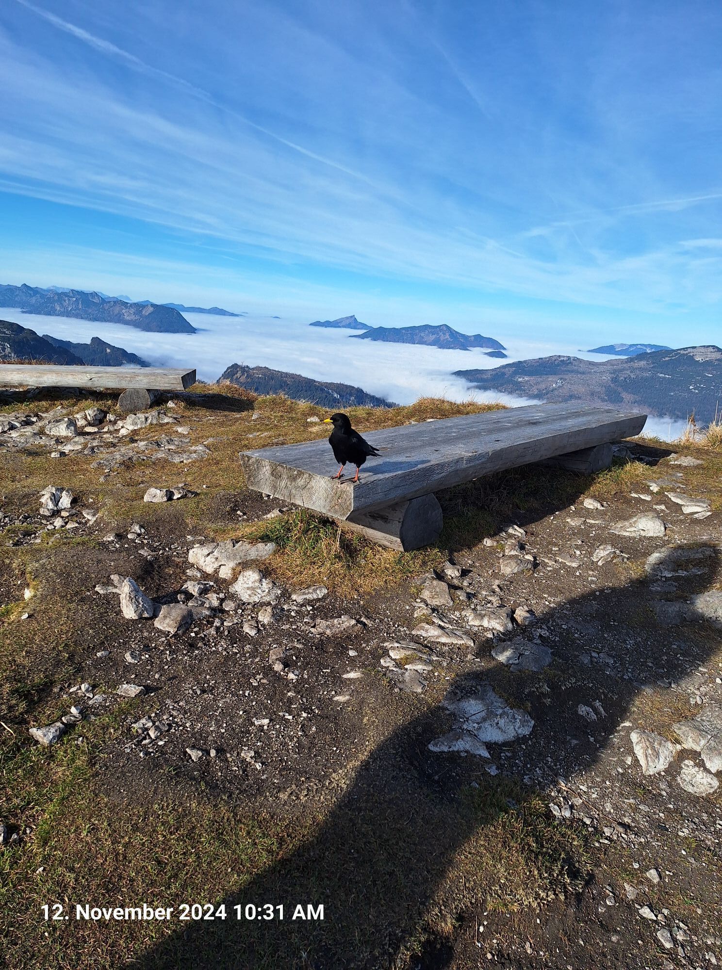

On this tour you hike the four most prominent peaks of the Loser massif on an eventful round.
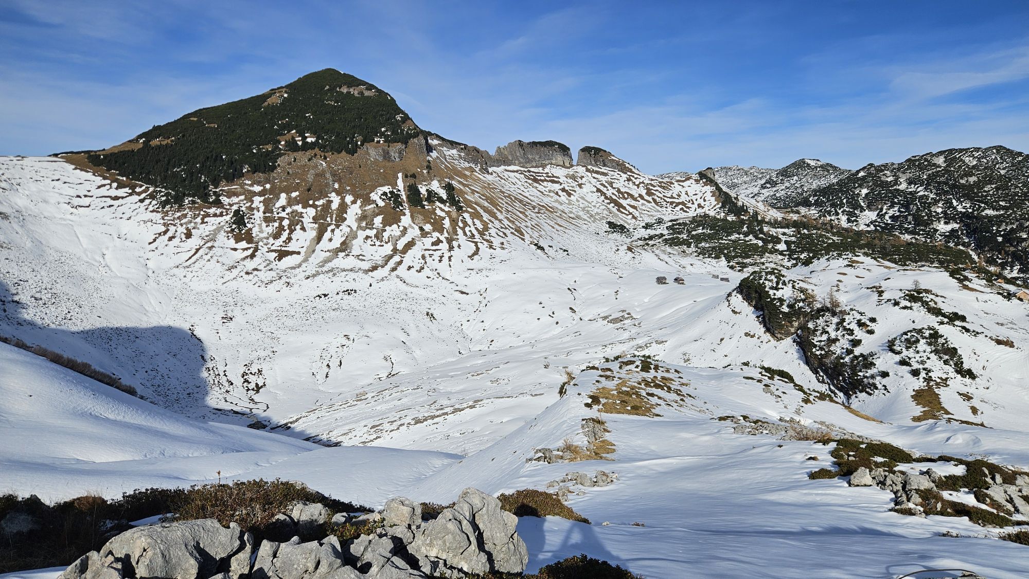
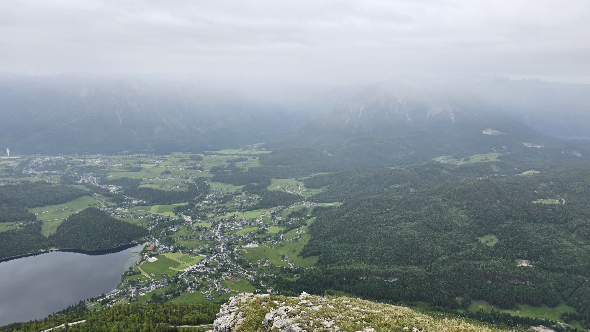
After a short descent to Loserboden and up again through a belt of mountain pines, you reach Hochanger (1,837 meters).
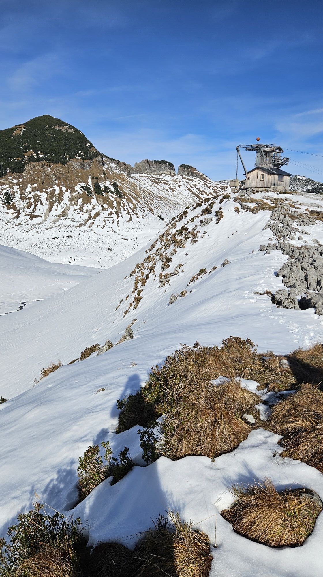
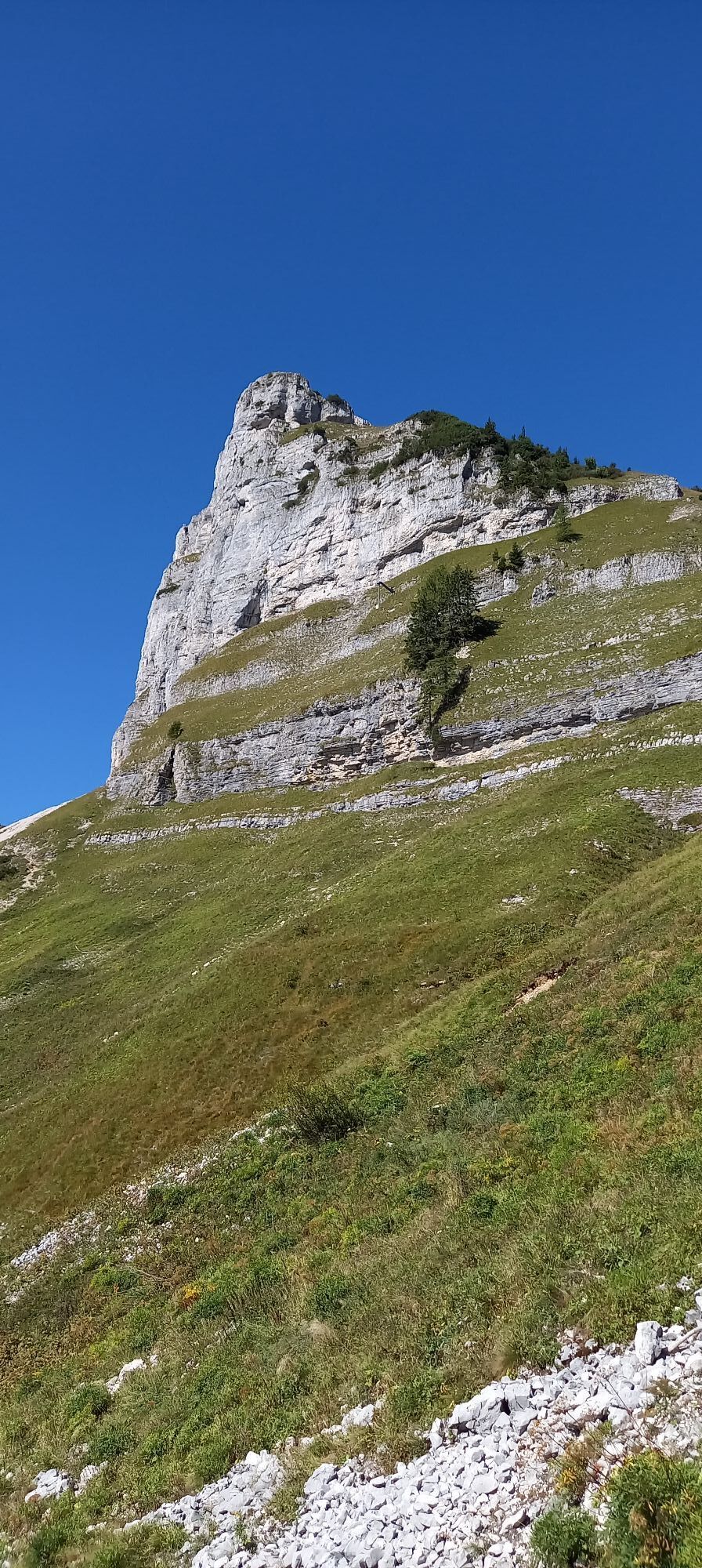
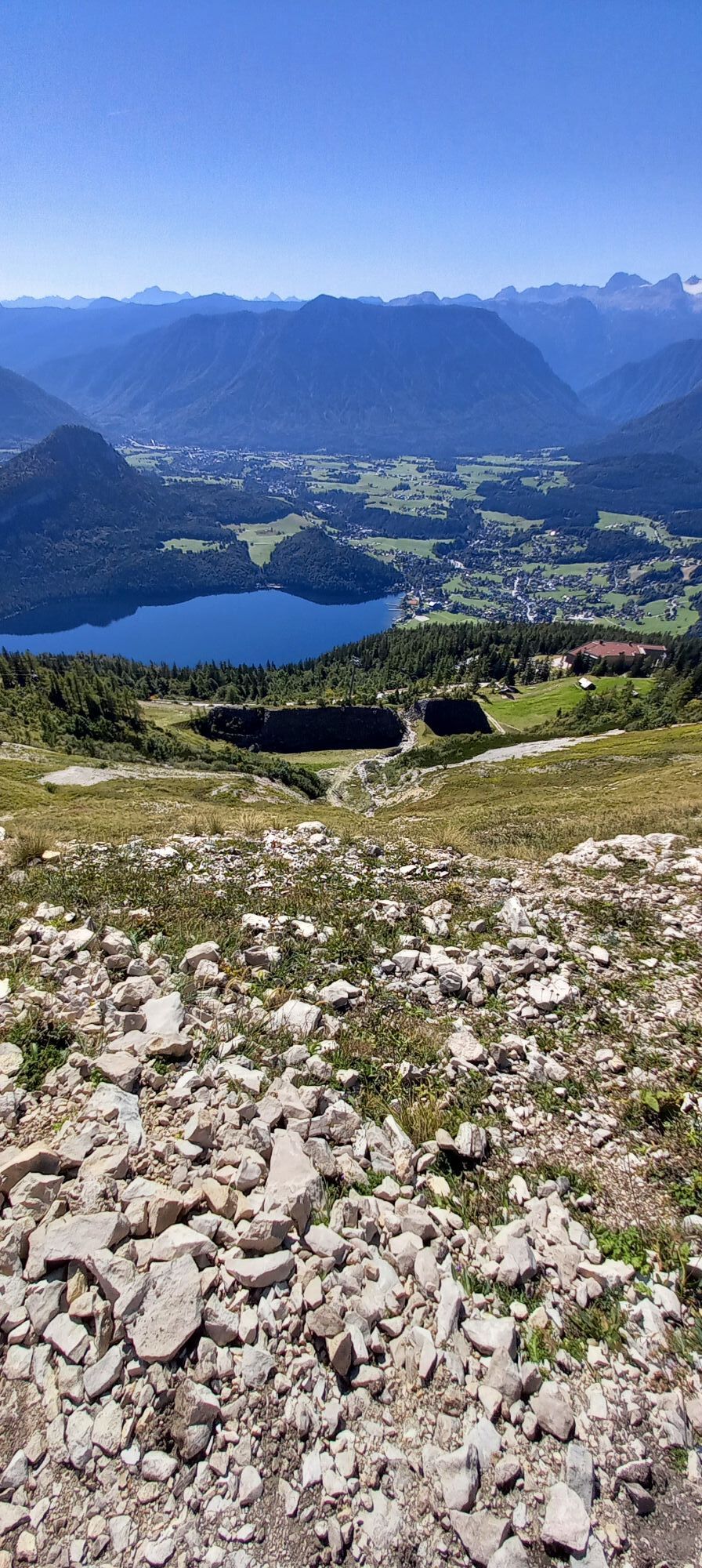
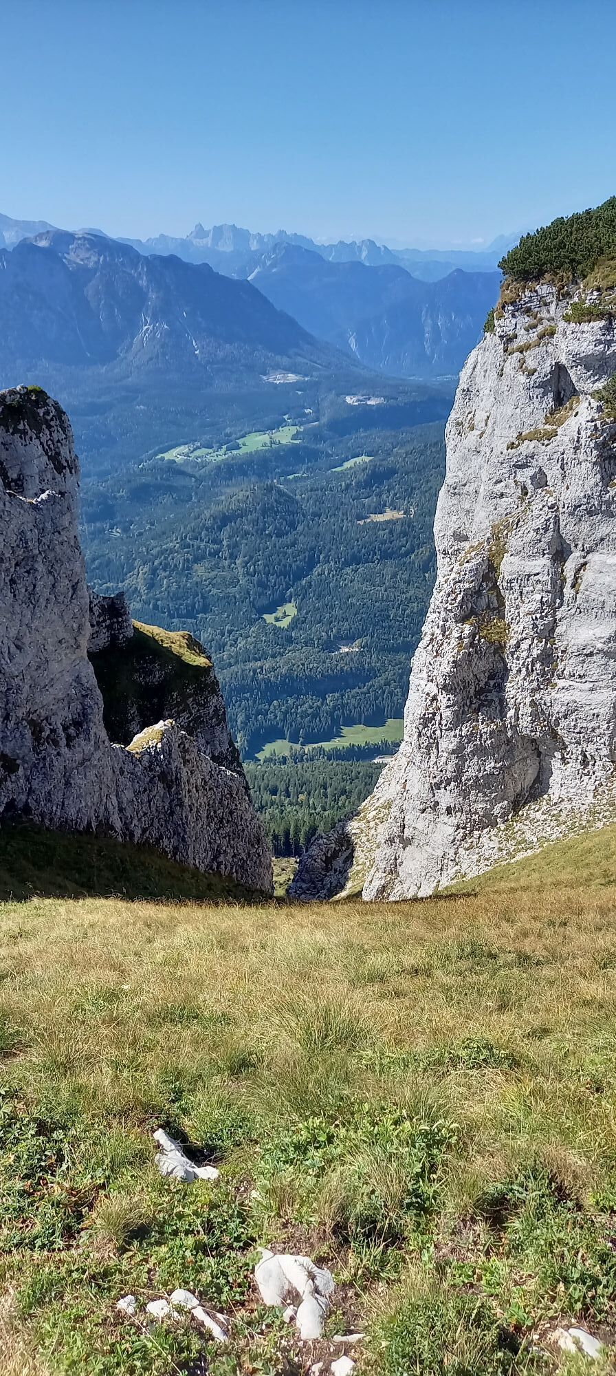
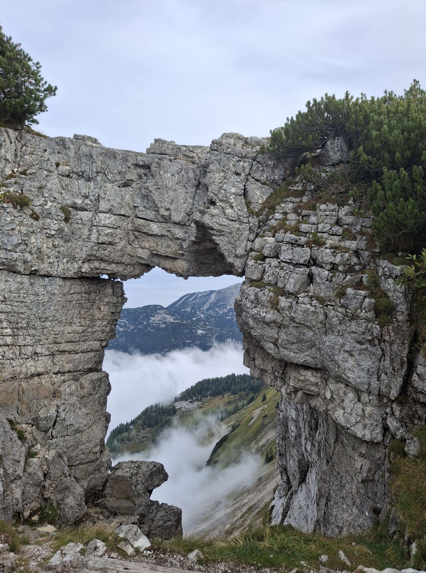
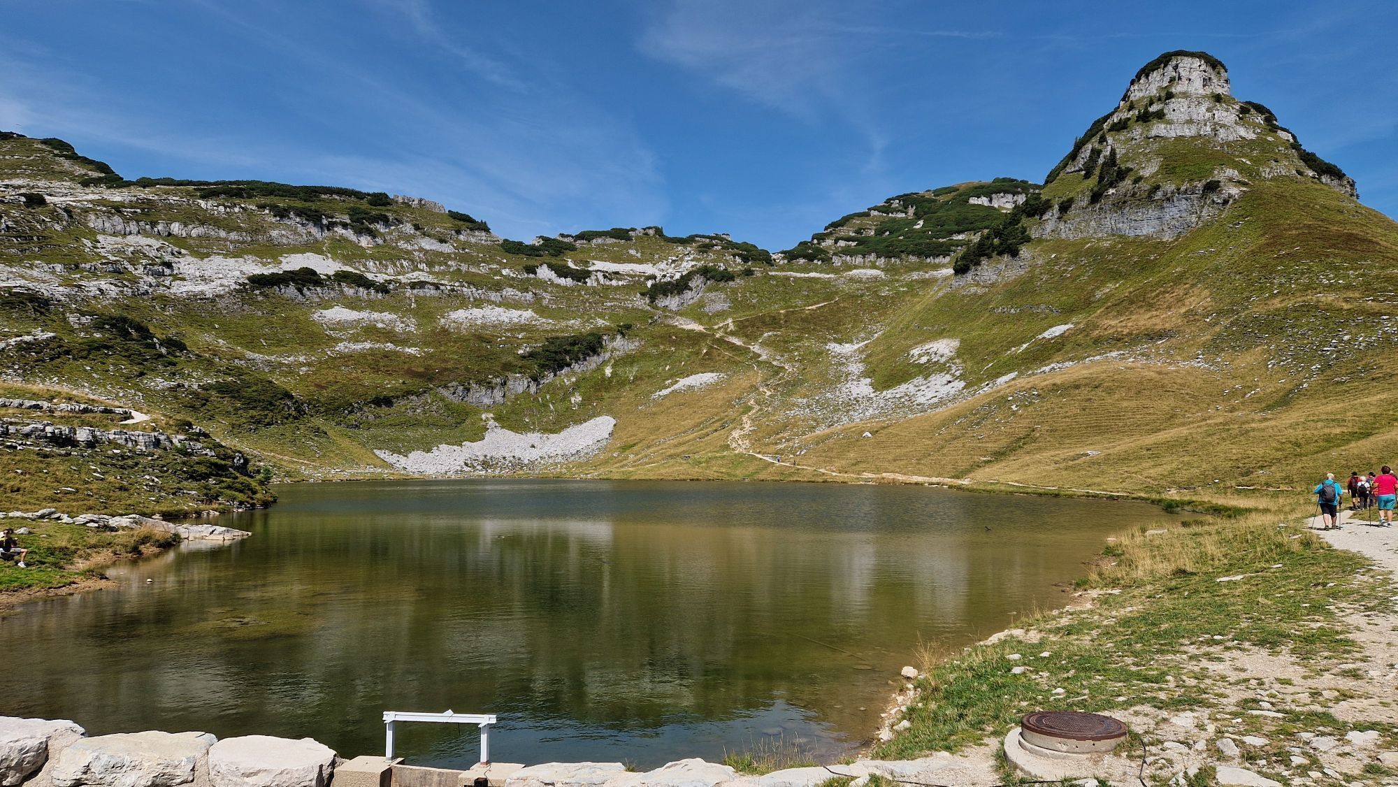
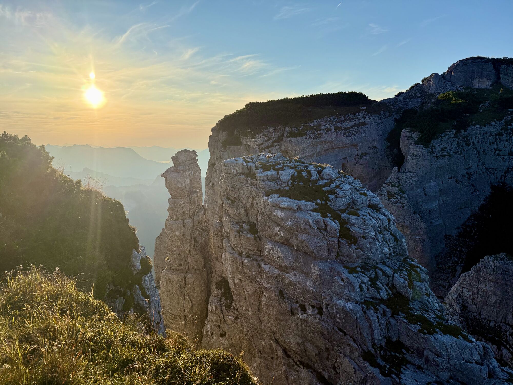
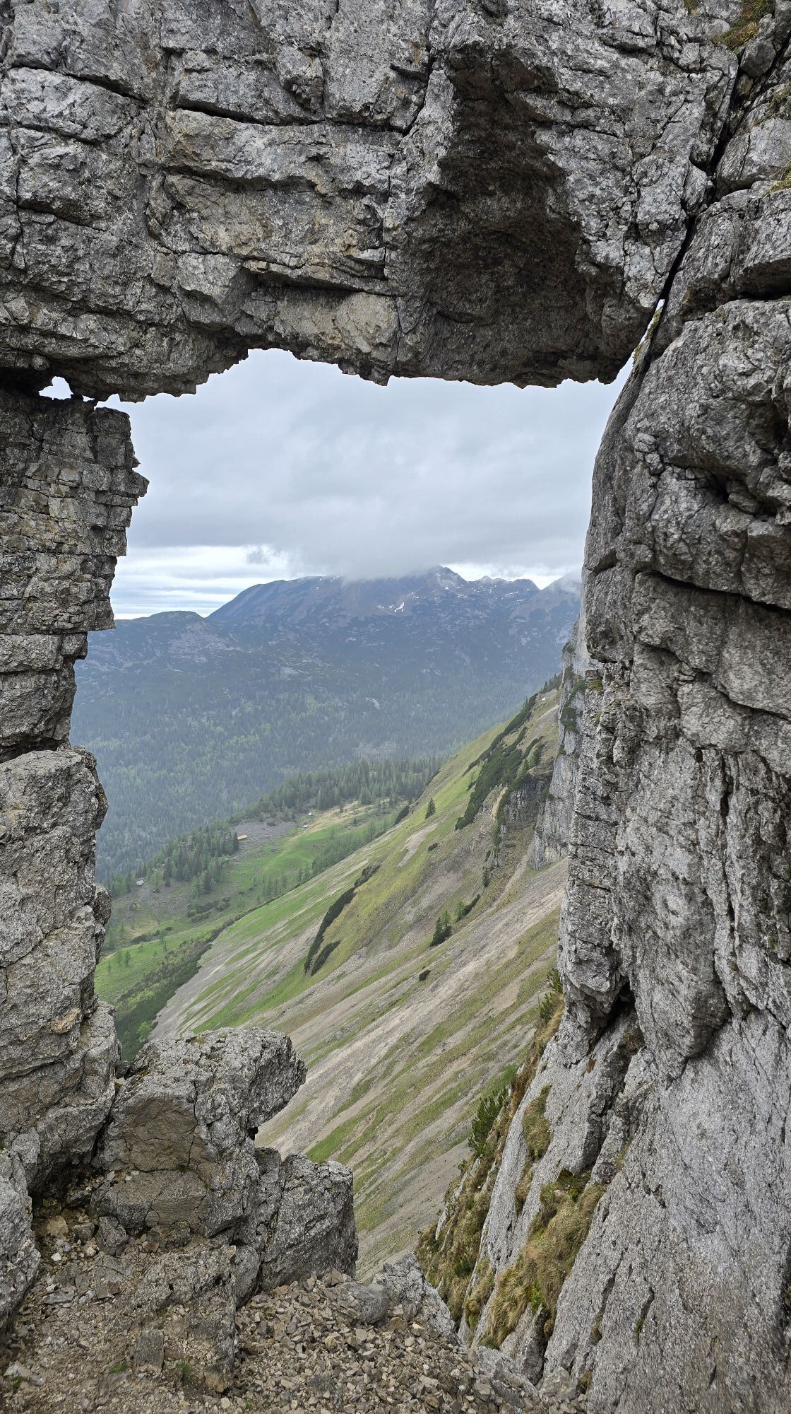
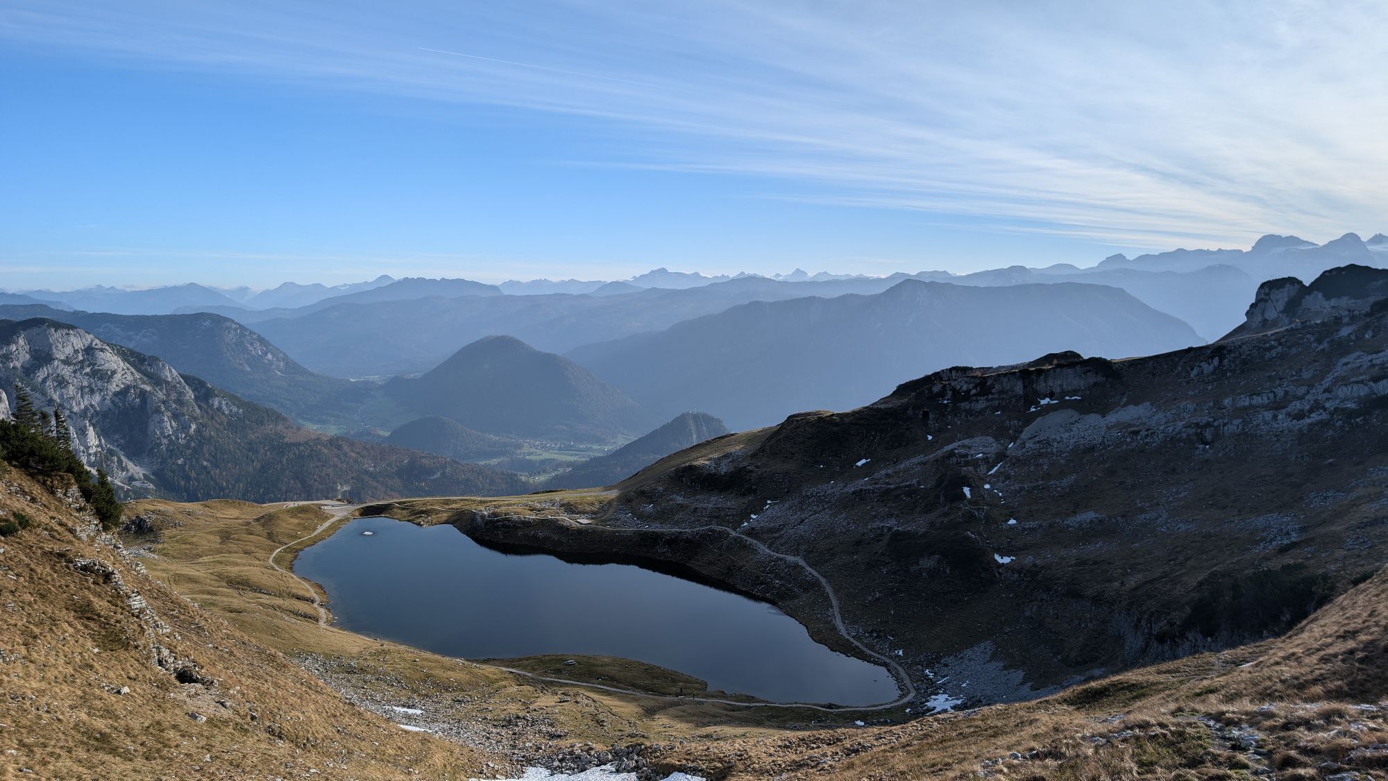
On the way to Greimuth you will probably reach one of the most famous natural phenomena on the Loser - the Loserfenster. The several meters high rock gate forms the picturesque frame for panoramic views of the Schönberg and the landscape around the Gschwandalm and the Schoßboden, which stretches under a huge rocky cliff.
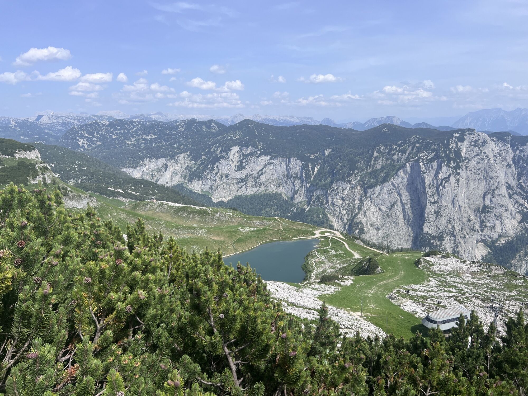
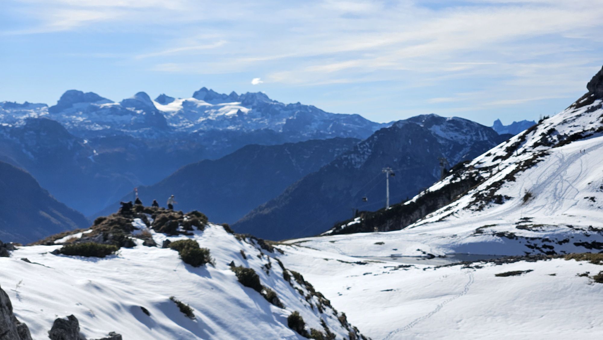
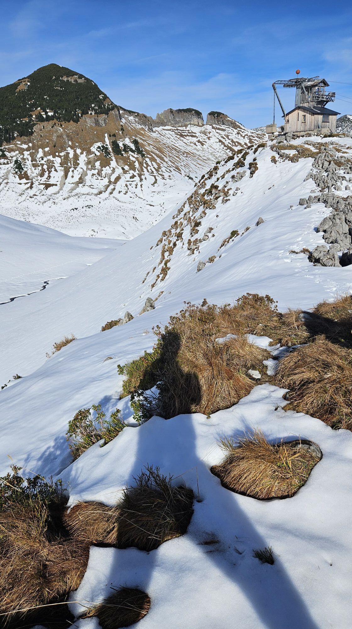
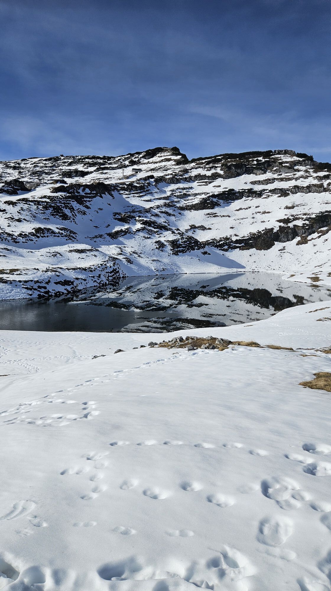
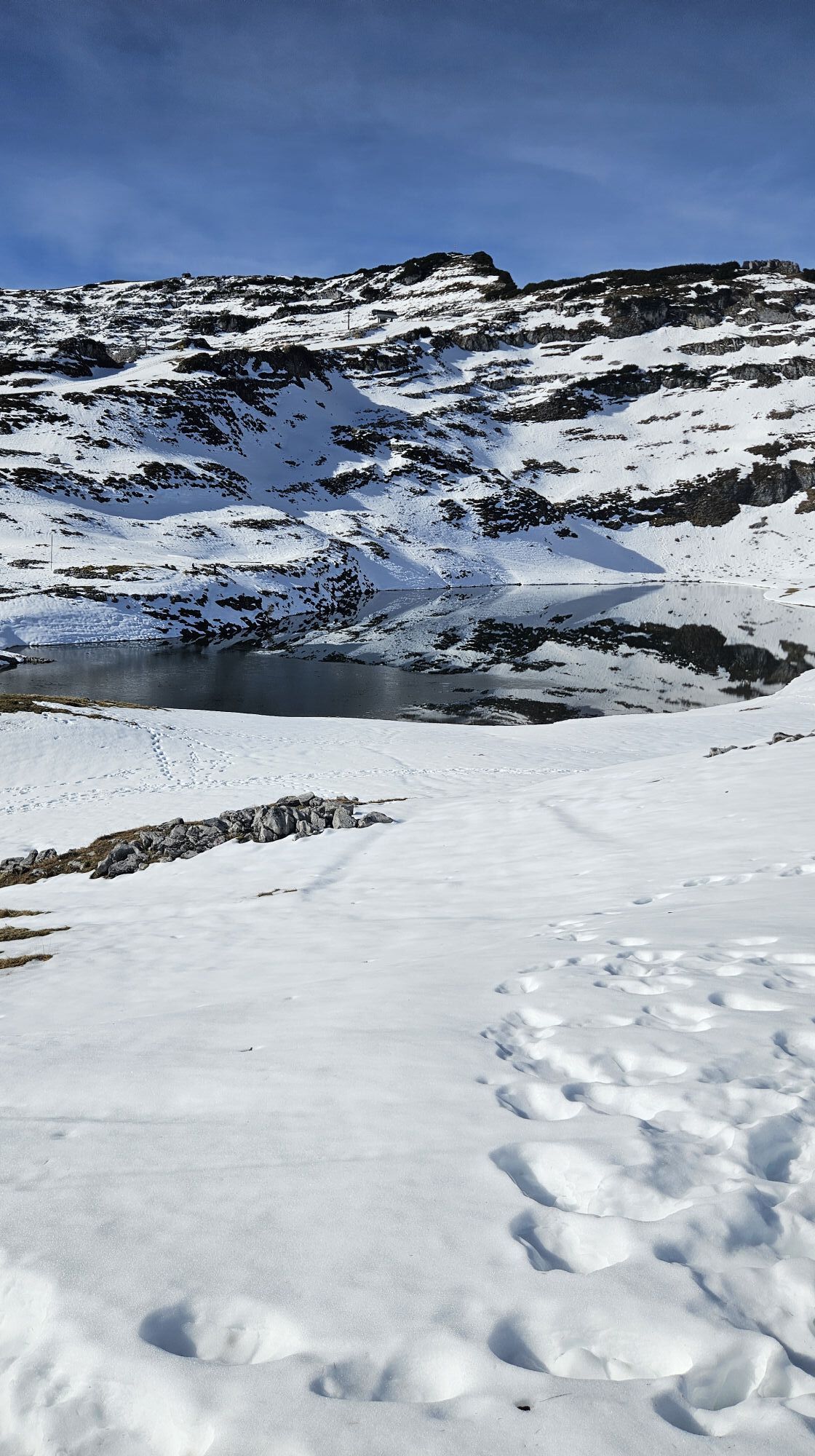
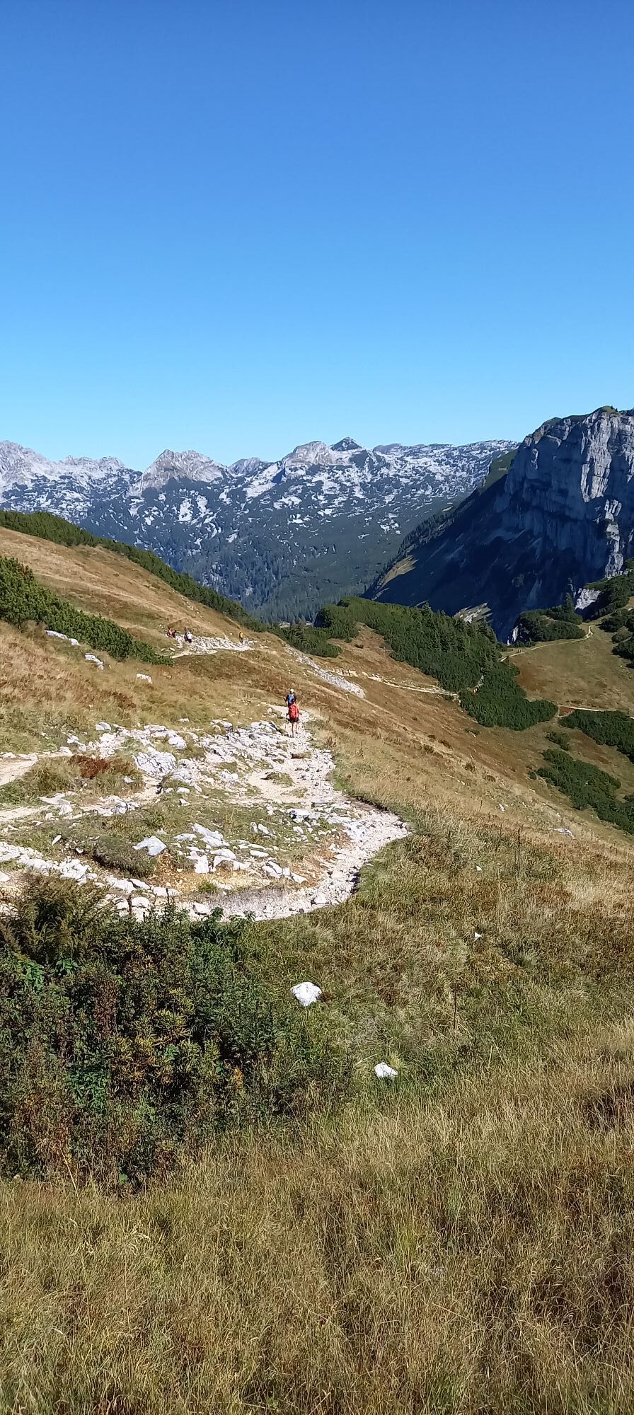
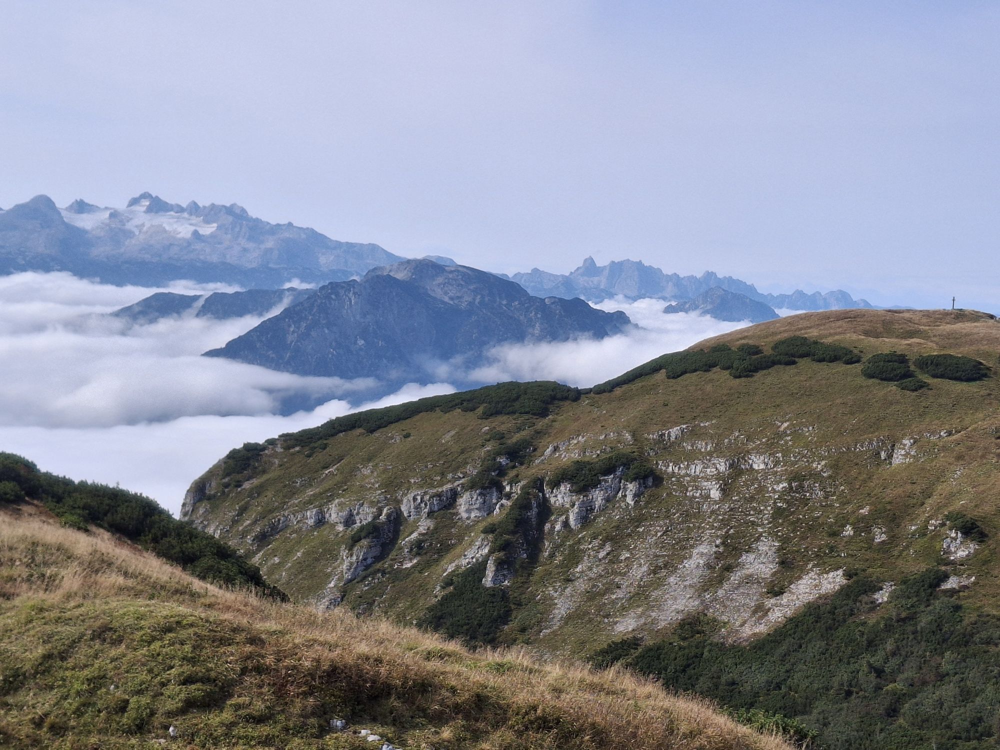
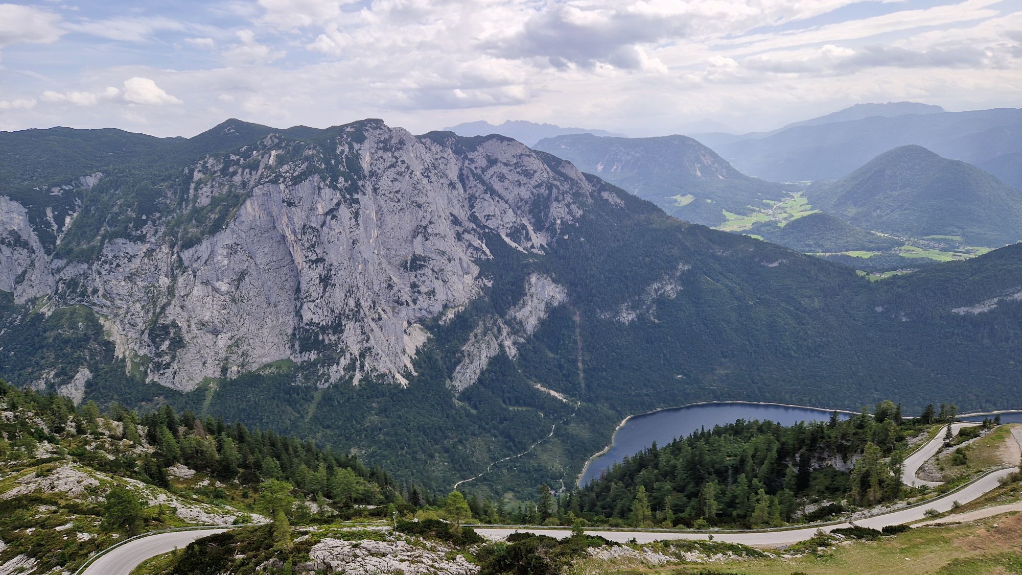
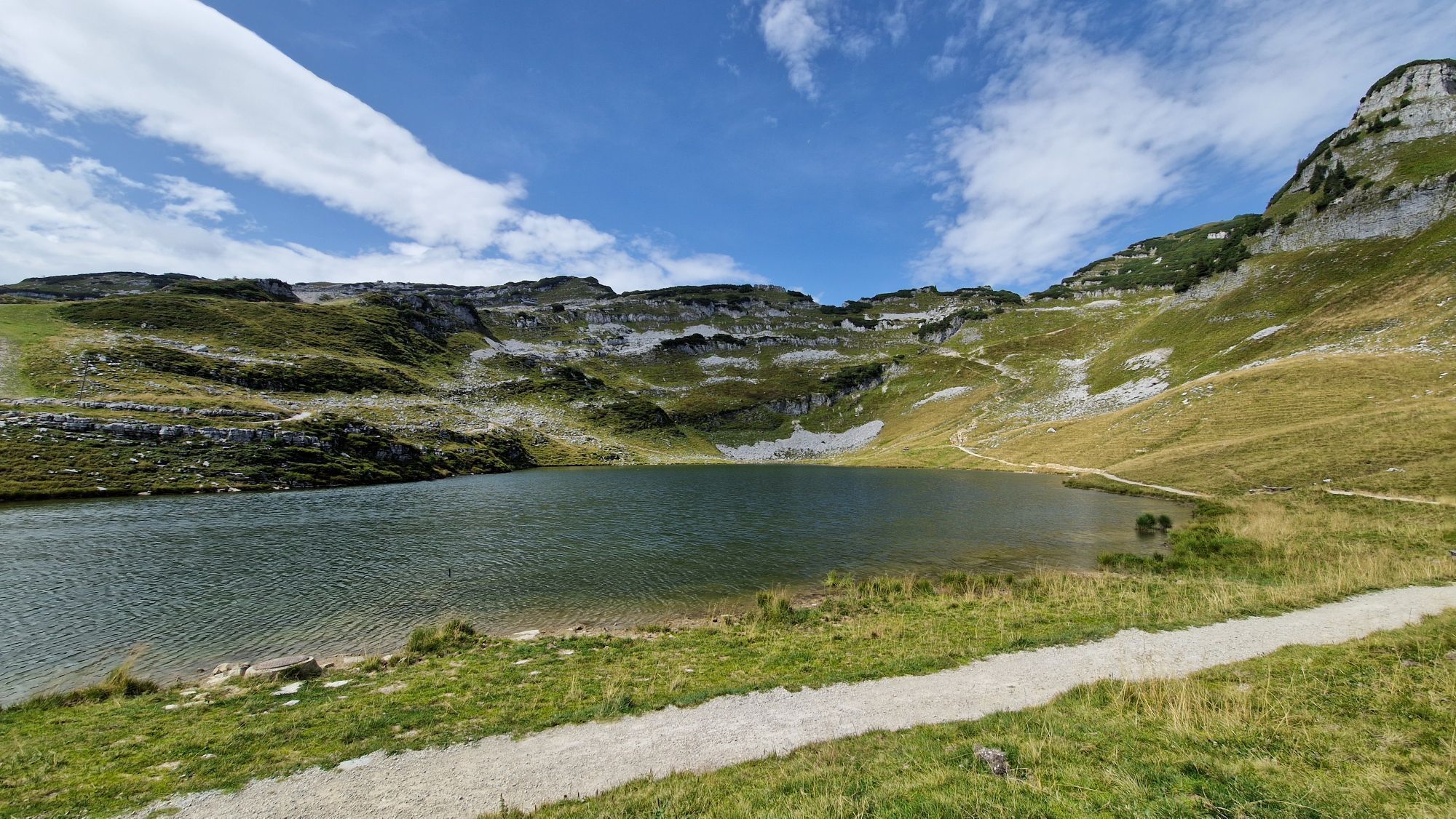
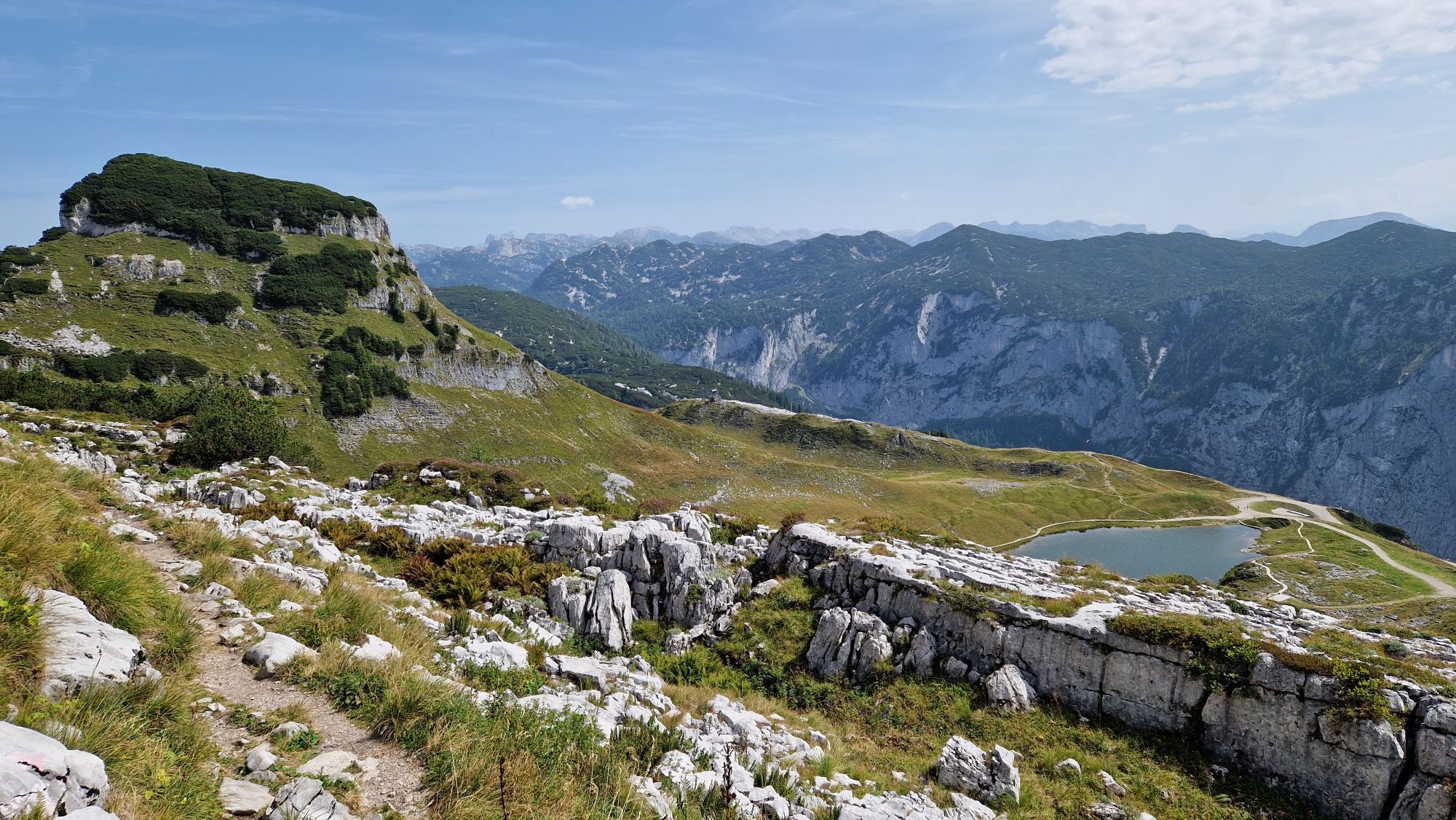
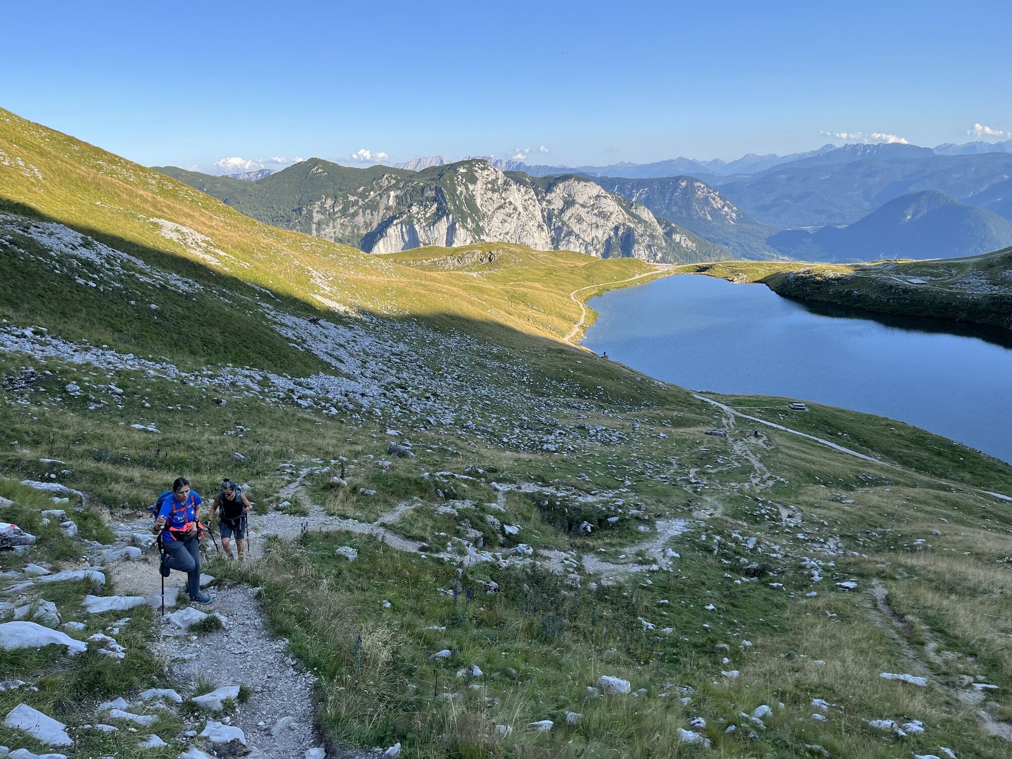
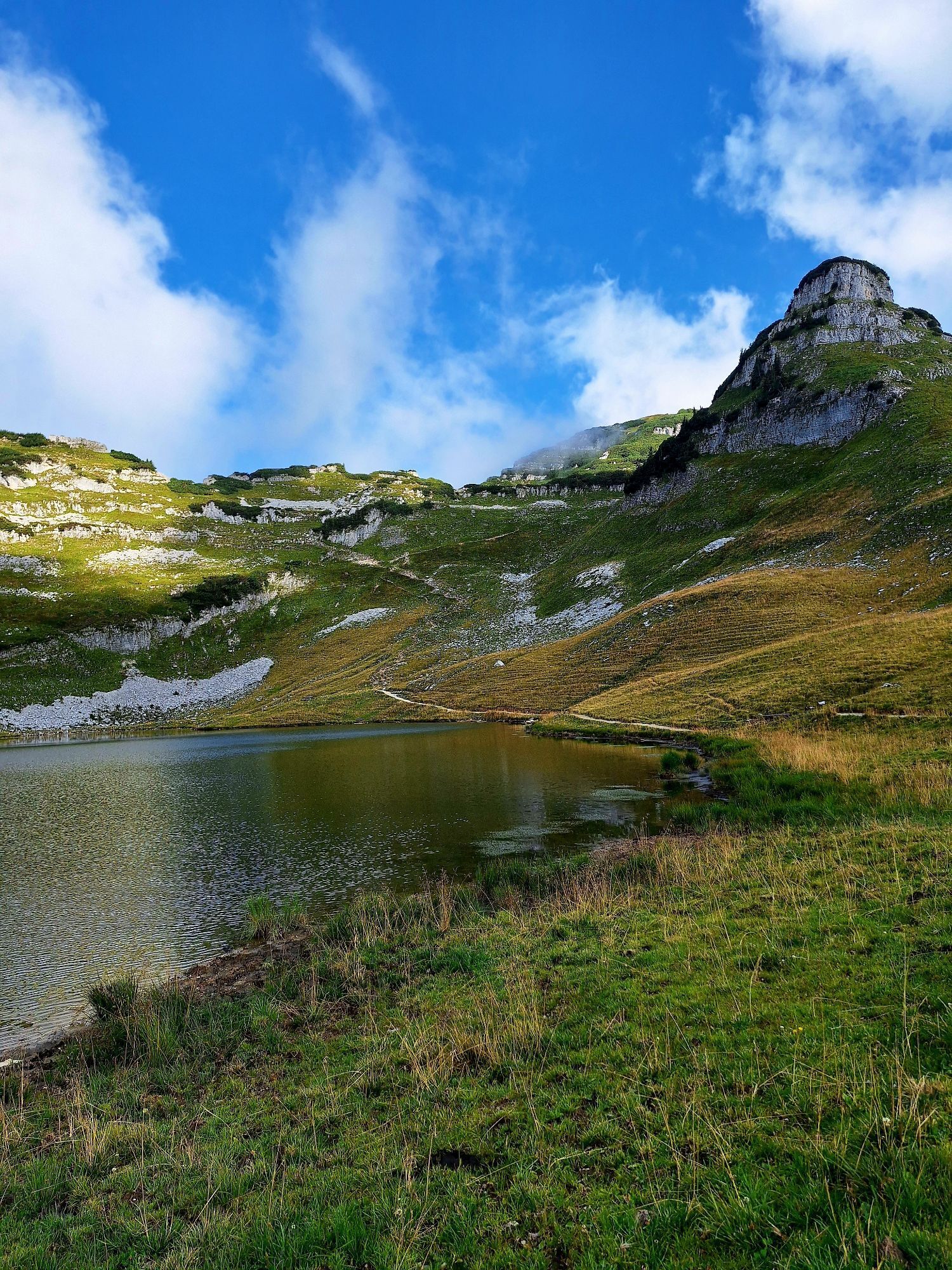
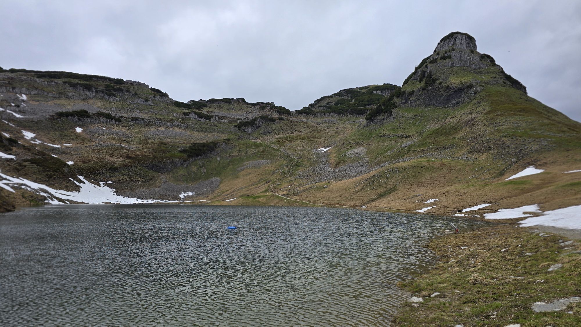
Continue up behind the Augstsee lake to the saddle between Atterkogel and Greimuth. Keeping to the left, you cross a small field of mountain pines before reaching the summit pasture. The Greimuth (1,871 meters) offers views of the mighty and steep north face of the Loser.
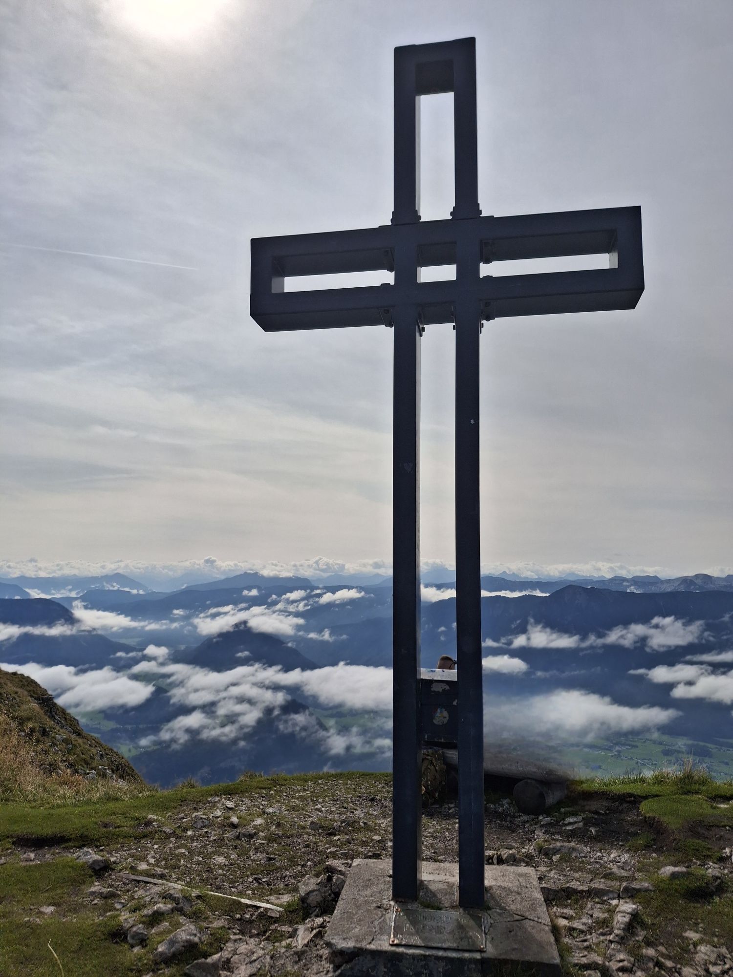
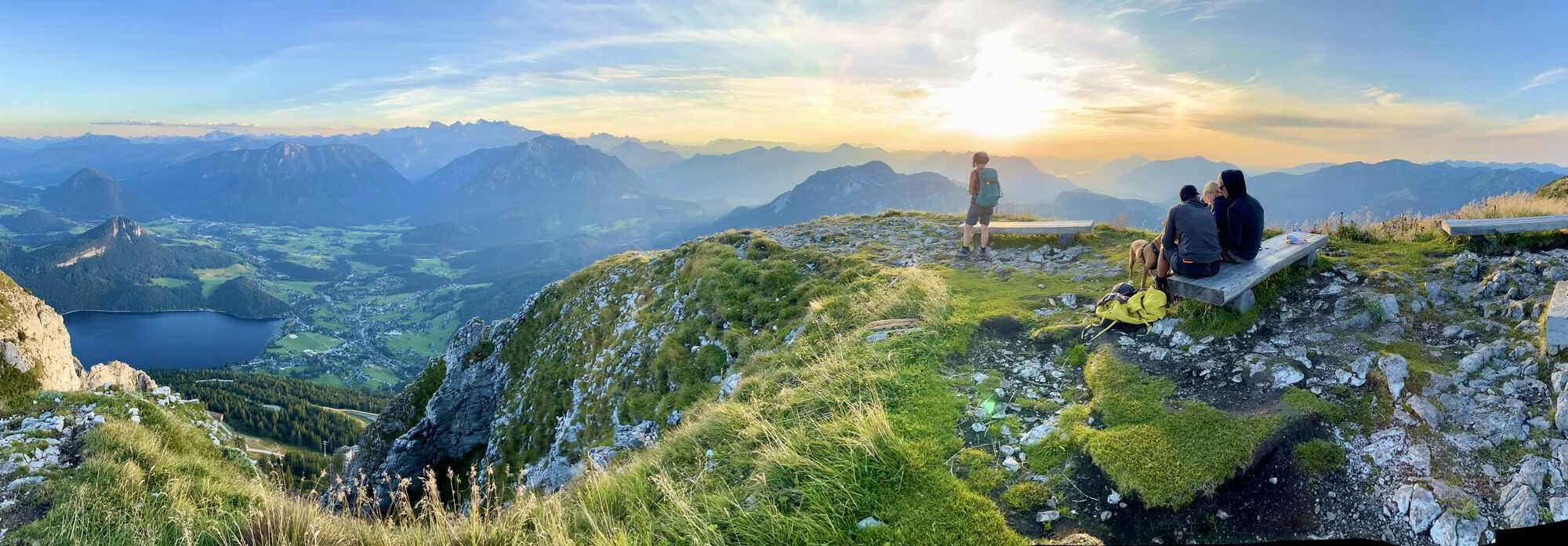
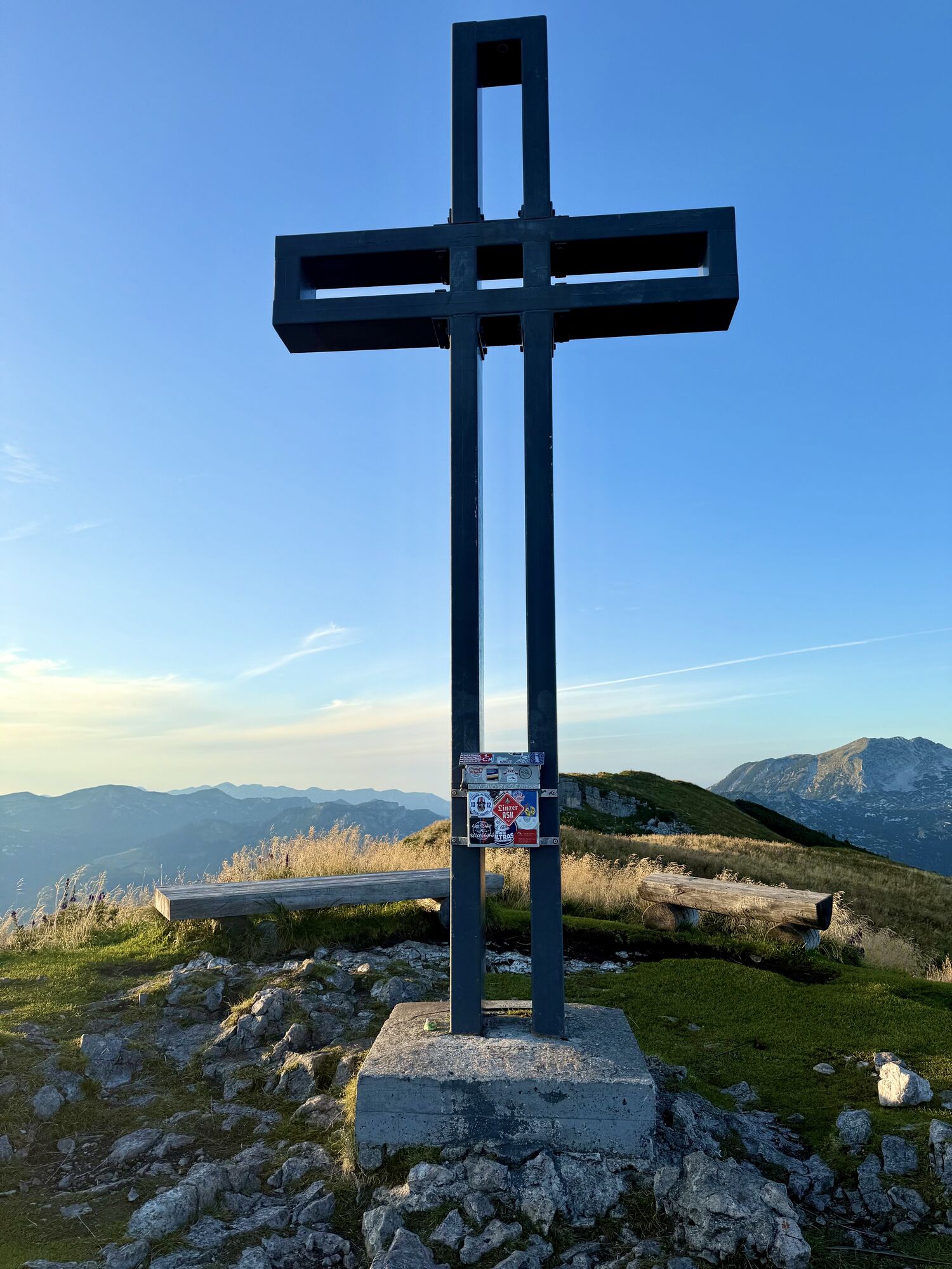
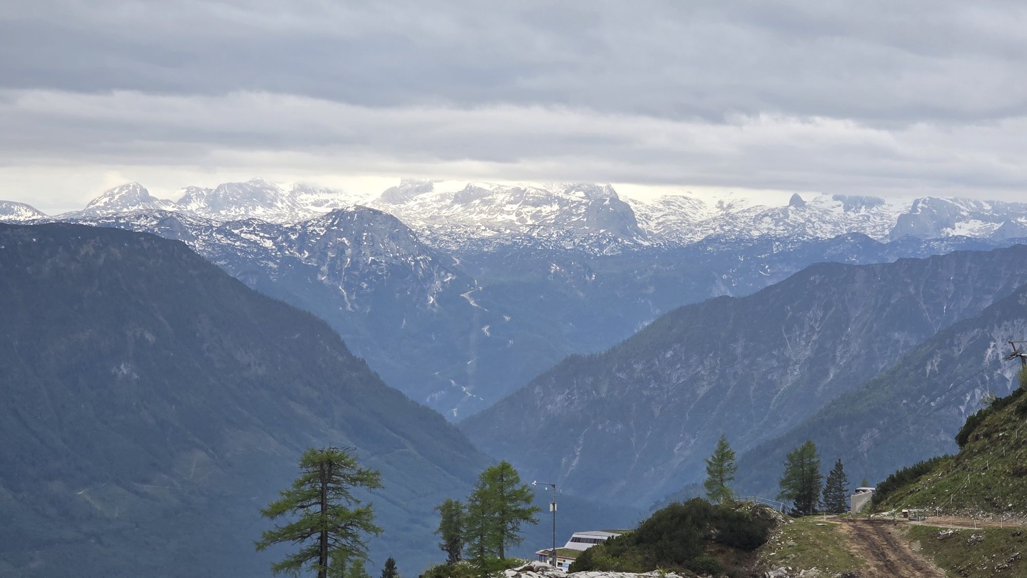
From the Greimuth you continue to the Gschwandsattel, here you can already clearly see the summit pyramid covered with many mountain pines. At the Bräuning Zinken (1,899 meters) you are rewarded for the ascent with a magnificent panoramic view. Via the Bräuning Alm you return to the starting point.
This round can also be done in several stages and adapted in its length depending on your condition.
Hiking maps are available at the information offices in Ausseerland.
Proper backpacking makes many things easier:pack heavy things first.The water bottle should always be within easy reach in a side pocket.All things that are often needed, such as sunglasses, camera or hiking map, belong on top.An emergency kit including blister plaster belongs in every backpack and a clothing according to the "onion system" is always recommended!
Emergency message tip- Provide answers to the six W-questions:
What happened?How many injured?Where did the accident happen? (possibly GPS coordinates)Who is reporting? (callback number)When did the accident happen?Weather at the accident site?The best way to get to Altaussee is to plan with google.at/maps.
Salzkammergut Shuttle Ausseerland - individual call taxi
On five routes between Sandling and Grimming daily from 07:00 to 22:00.
Call at least 1 hour in advance at +43 50 422 422
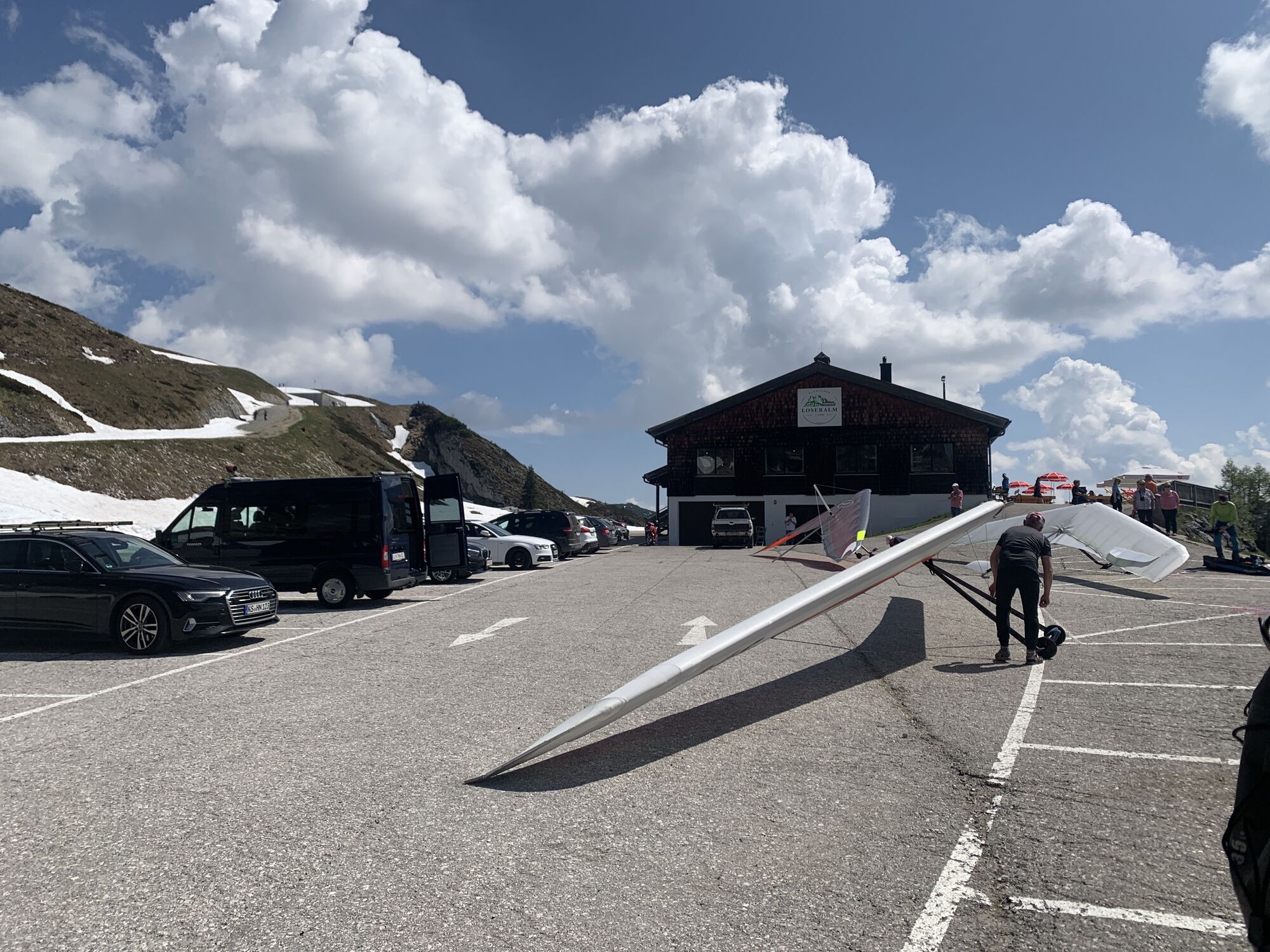
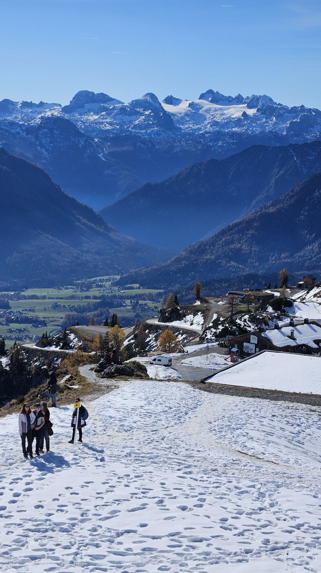
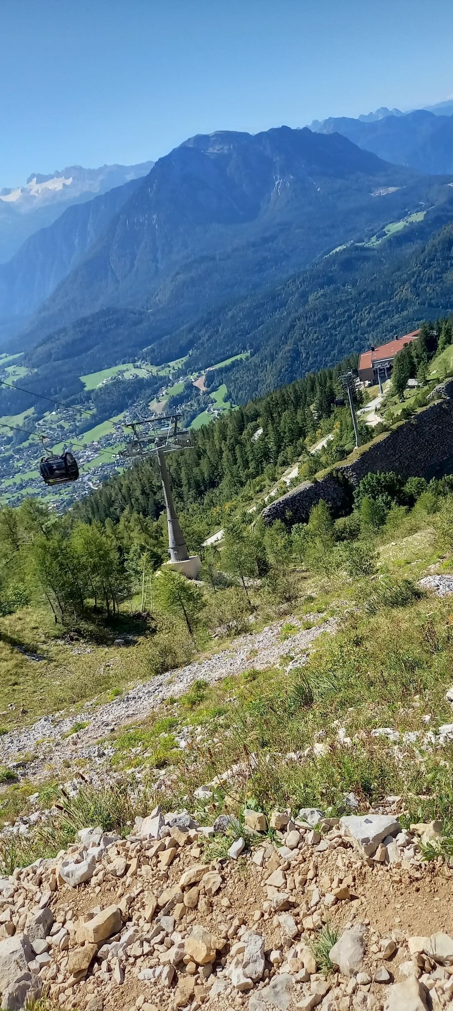
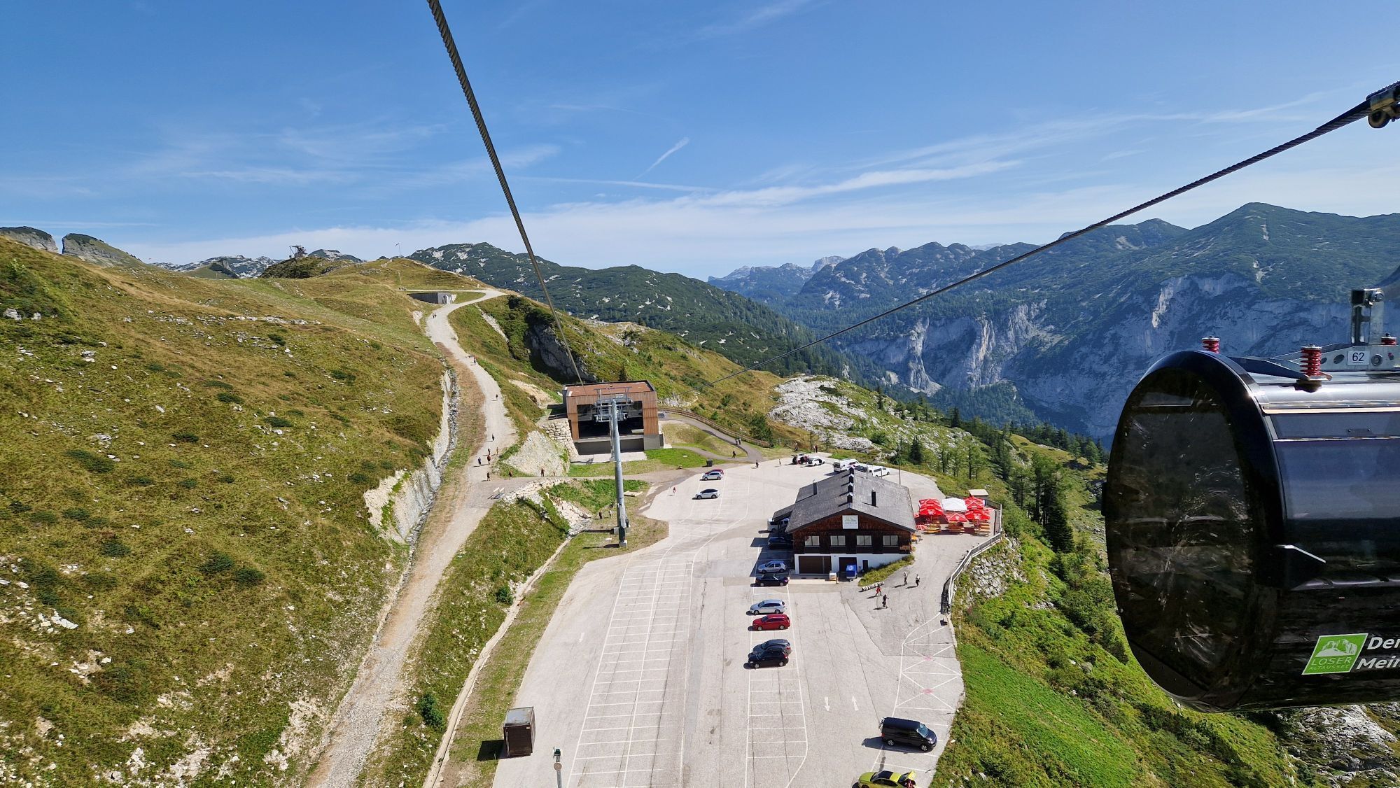
Free parking is available at the Loser Alm. Please note the toll on the Loser!
Stop for refreshments at the mountain restaurant Loser-Alm or at the Loserhütte.
Beliebte Touren in der Nähe
- 4,3
Altaussee: Seeumrundung
Bergwandern 7,58 km - 3,8
Ostuferwanderweg
leichtWanderung 16,2 km - 4,5
Loser: Loserfenster und Losergipfel
mittelWanderung 2,48 km - 4,4
Bad Goisern: Pötschenhöhe – Sarstein - Obertraun
Wanderung 11,4 km - 4,6
Wanderung zur Hütteneckalm
leichtWanderung 8,70 km - 4,7
Hütteneck Ski- & Schneeschuhtour
mittelSchneeschuh 3,88 km - 5,0
Gößl - Pühringerhütte - Rotgschirr
mittelBergwandern 24,6 km - 4,8
Loserrunde über Augstsee, Loserfenster, Losergipfel und Loserhütte
mittelWanderung 4,69 km - 4,8
Hoher Sarstein
mittelWanderung 13,4 km - 4,7
Eibenberg
mittelWanderung 7,46 km
Wandern & Tracking


Verpasse keine Angebote und Inspirationen für deinen nächsten Urlaub
Deine E-Mail-Adresse wurde in den Verteiler eingetragen.