
Hercules Column-Johanniswacht Tour
mittel
Hol diese Tour auf dein Handy
Hercules Column-Johanniswacht Tour
mittel
Winterwandern
5,33
km
QR-Code scannen und Navigation in der bergfex App beginnen


Wandern & Tracking





Hercules Column-Johanniswacht Tour
mittel
Distanz
5,33
km
Dauer
02:00
h
Aufstieg
160
hm
Seehöhe
353 -
443
m
Track-Download
Hercules Column-Johanniswacht Tour
mittel
Winterwandern
5,33
km
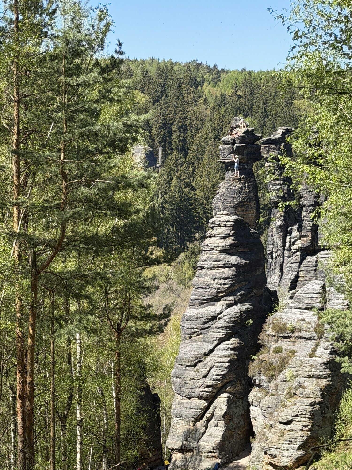
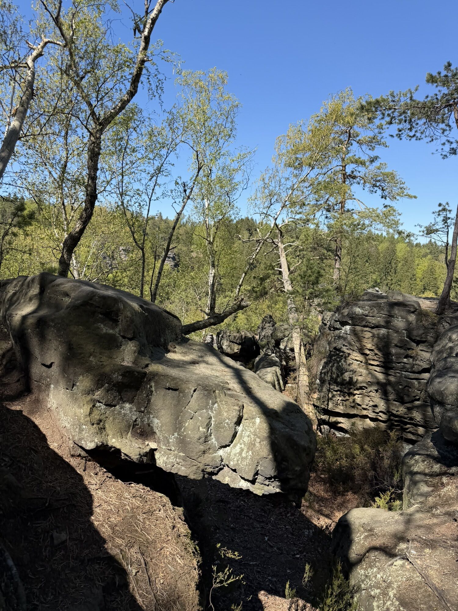
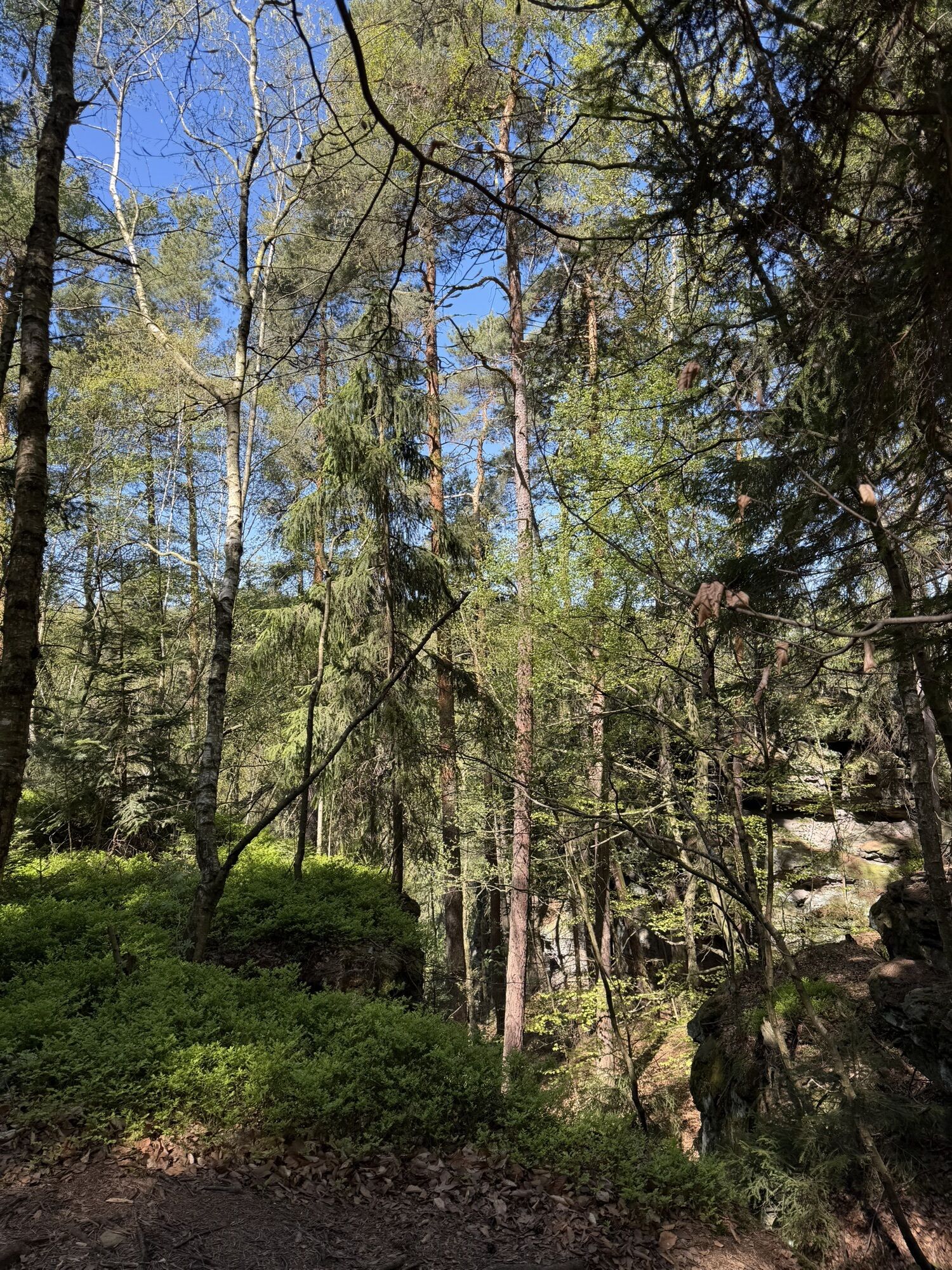
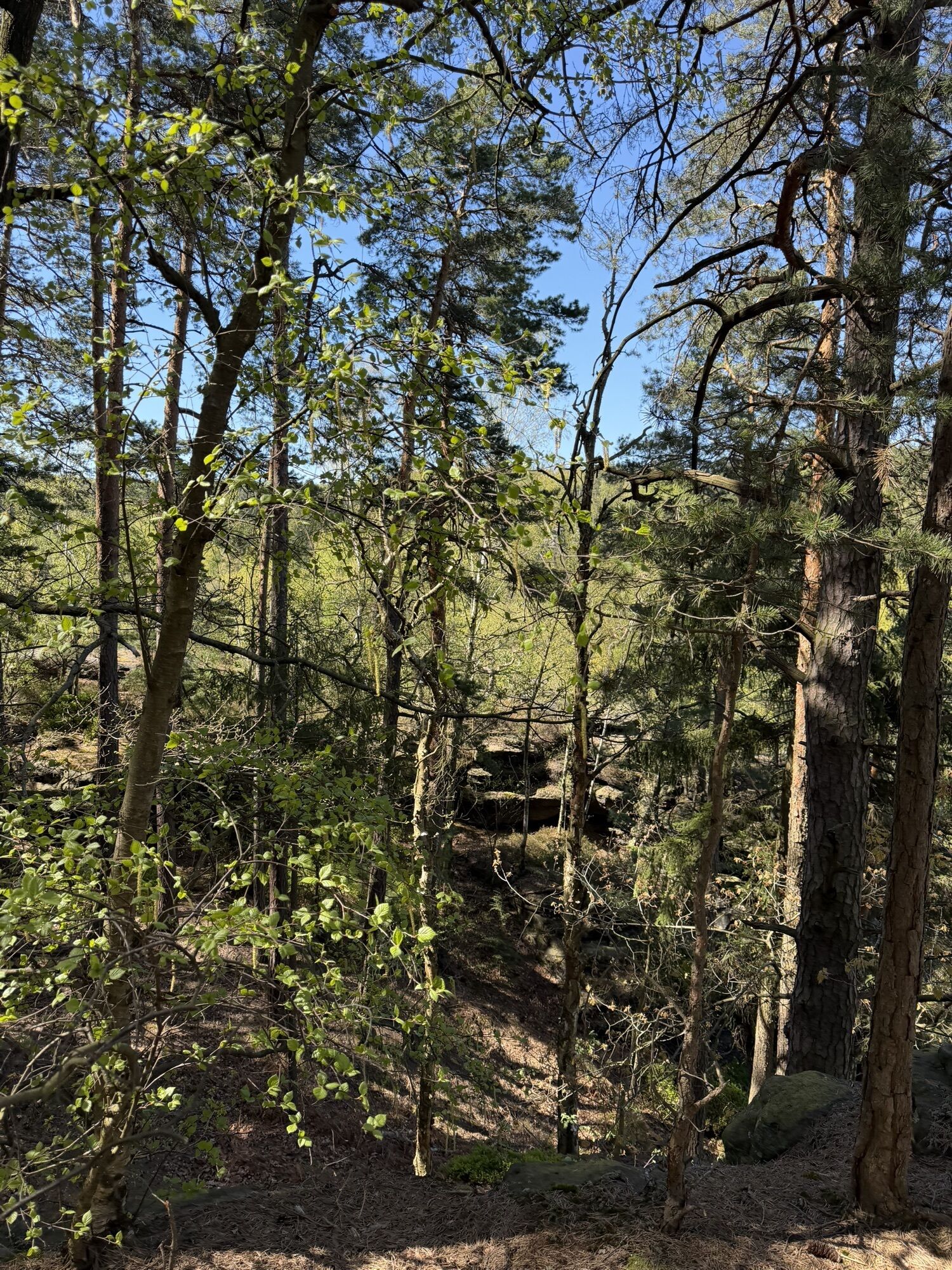
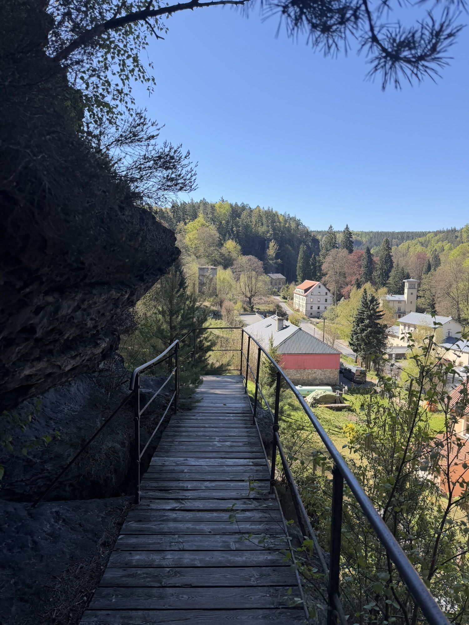
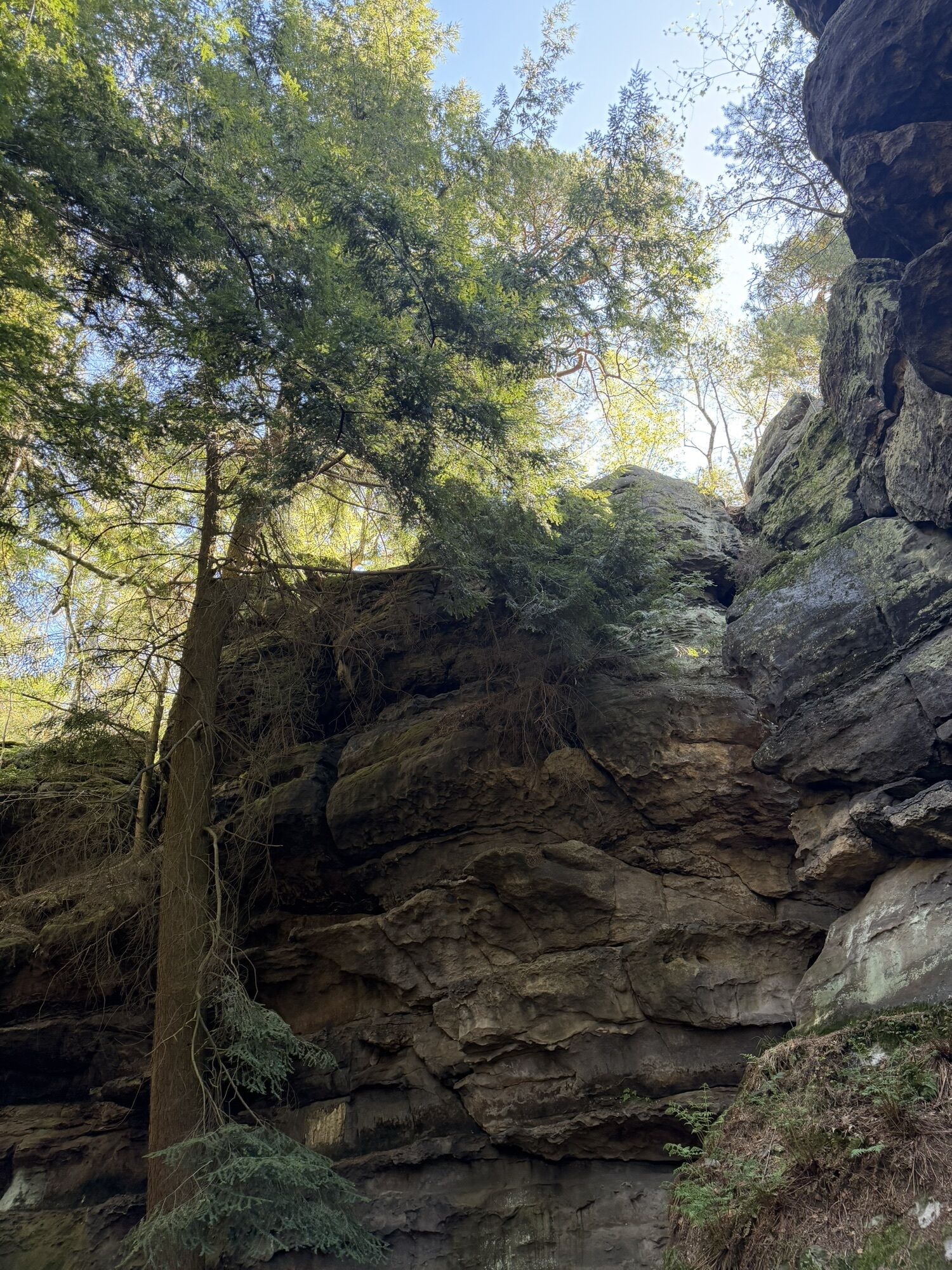
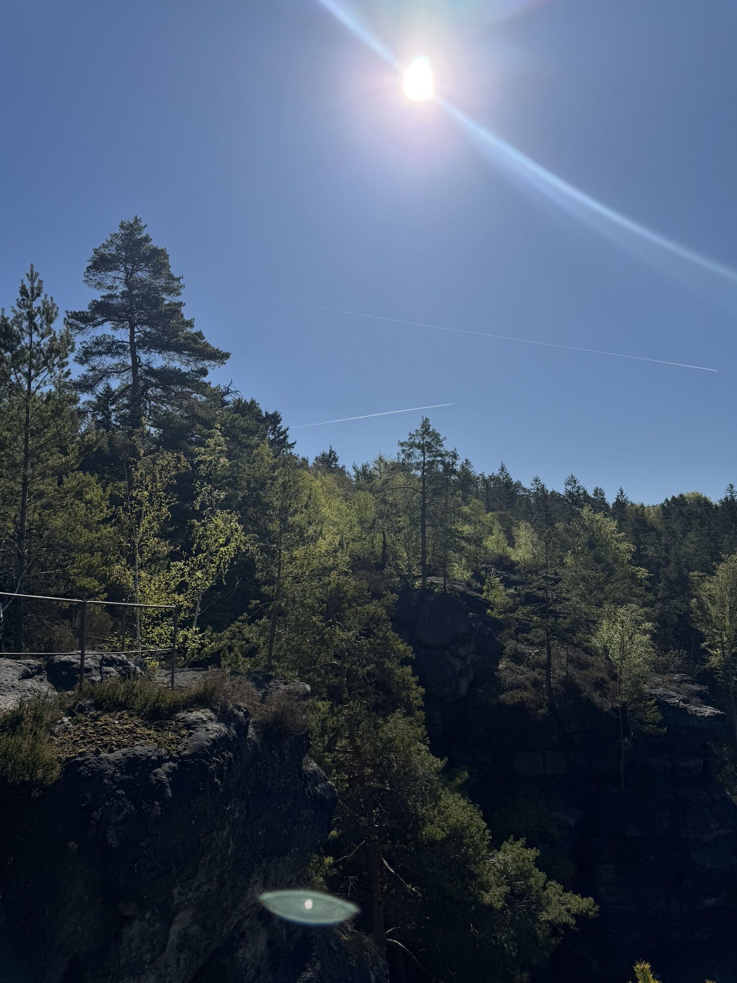
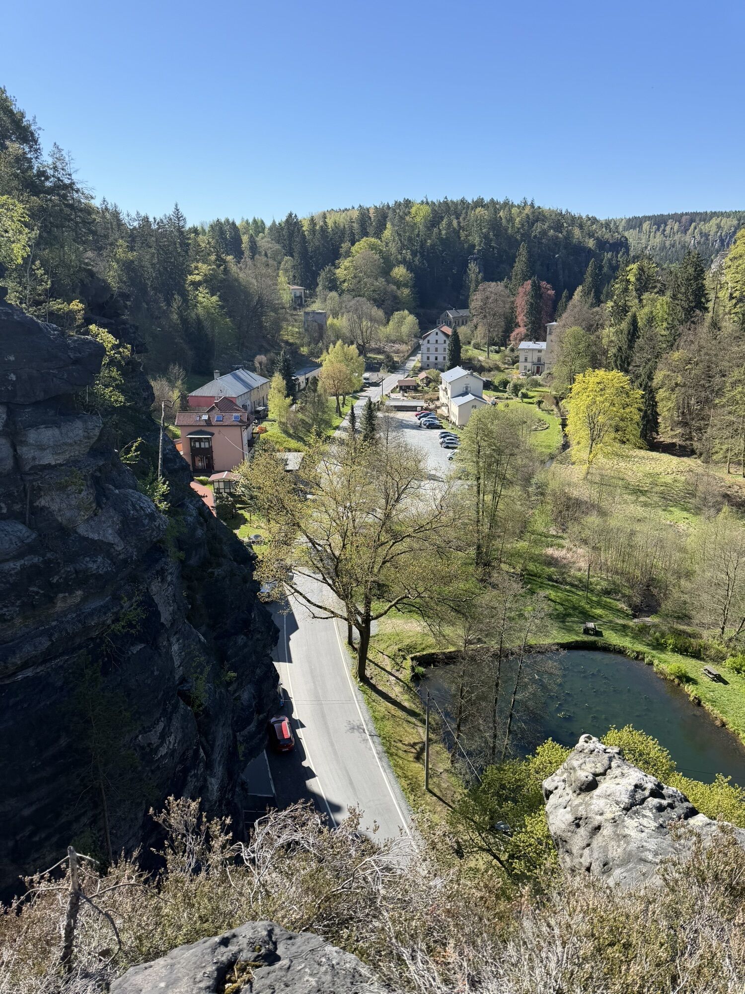
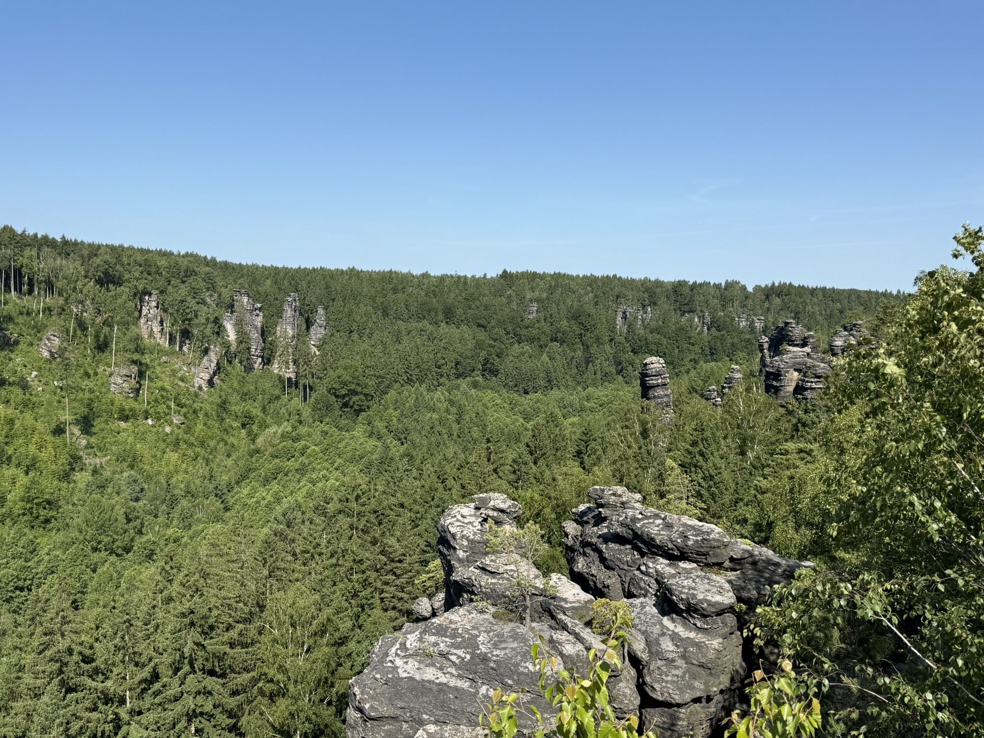
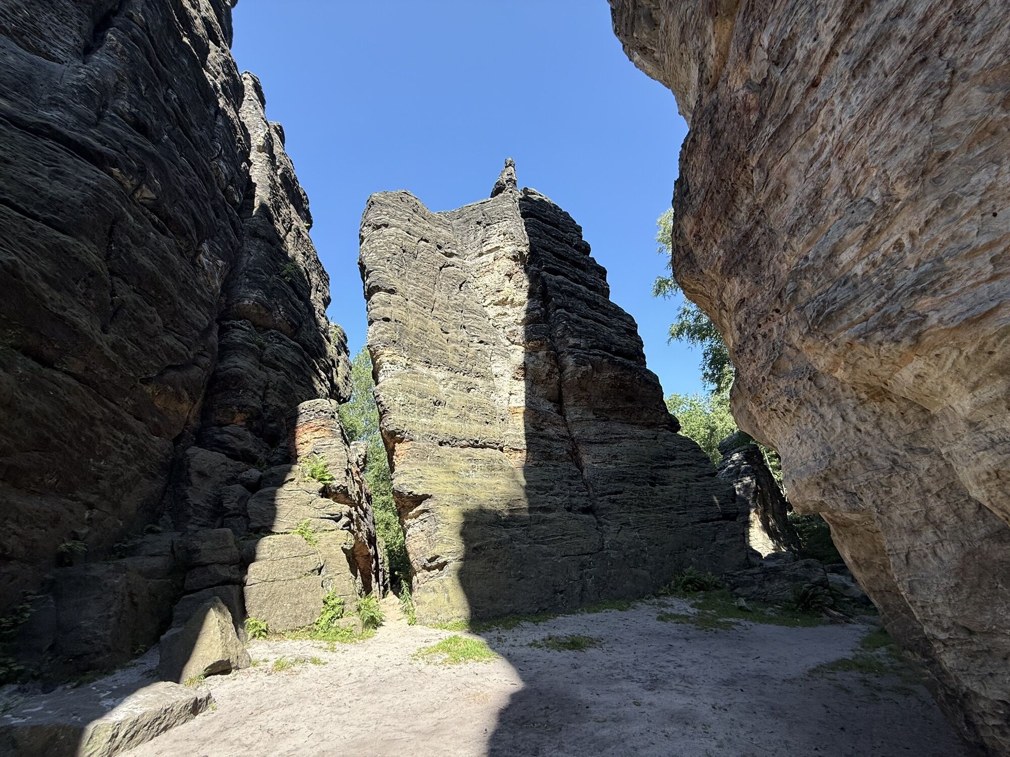
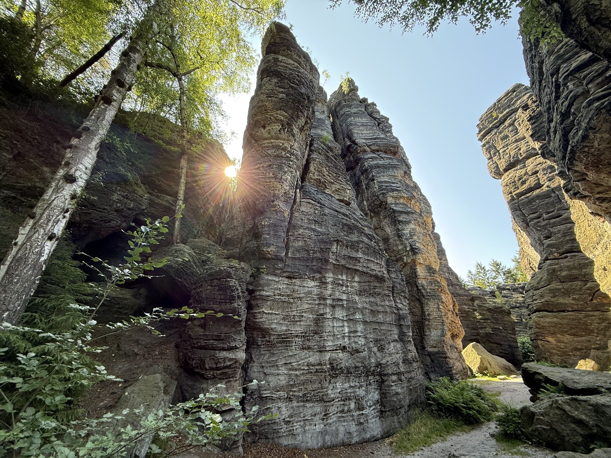
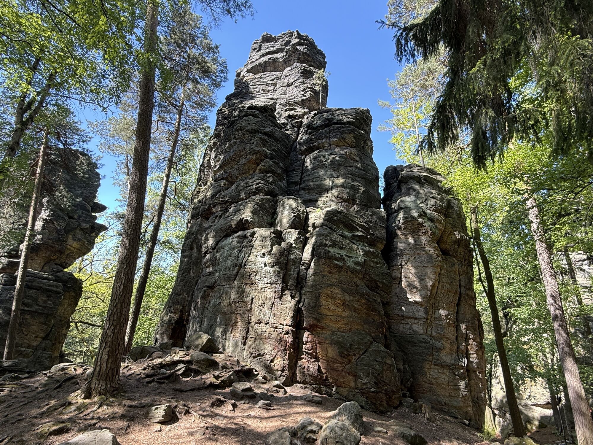
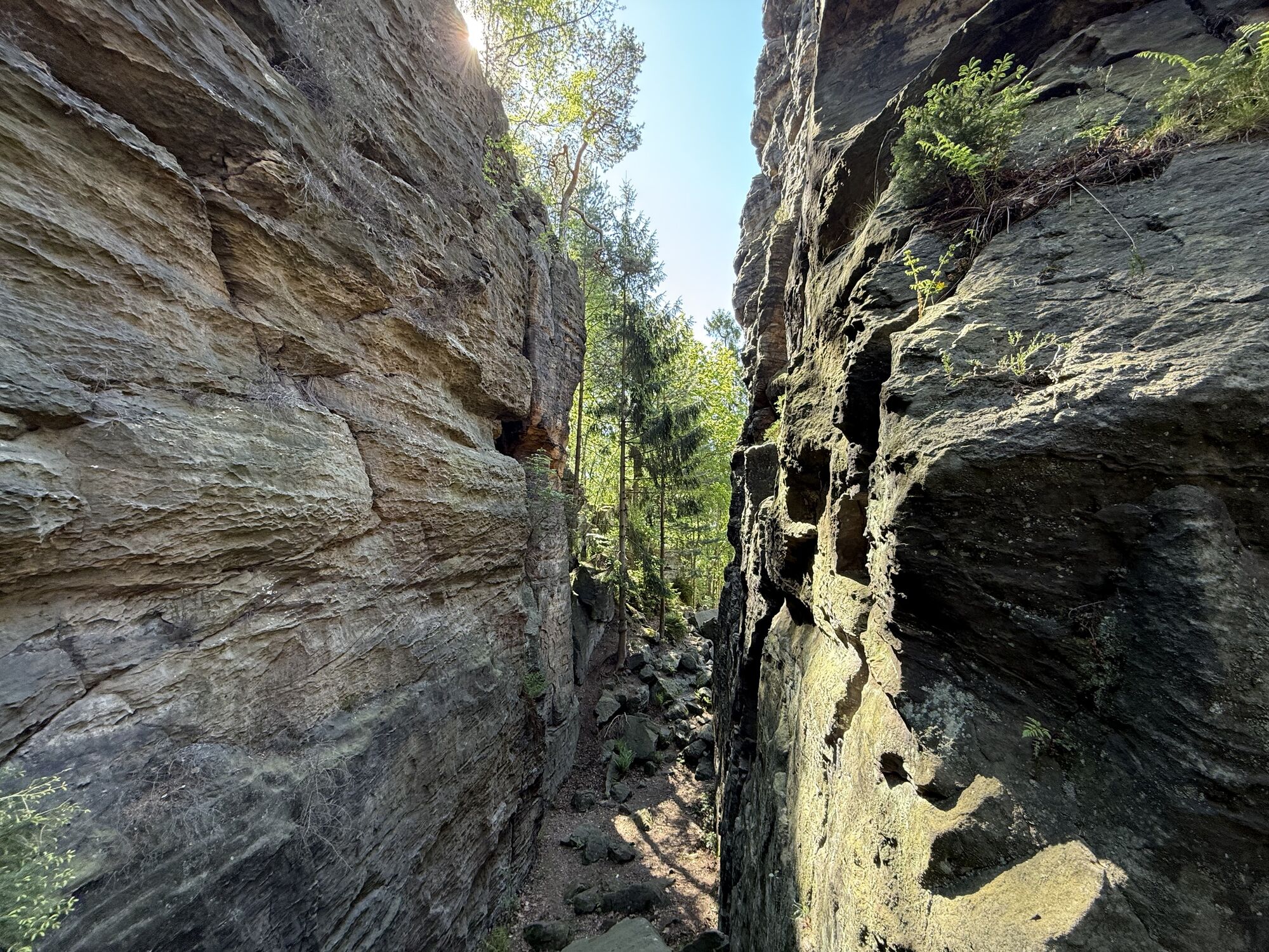
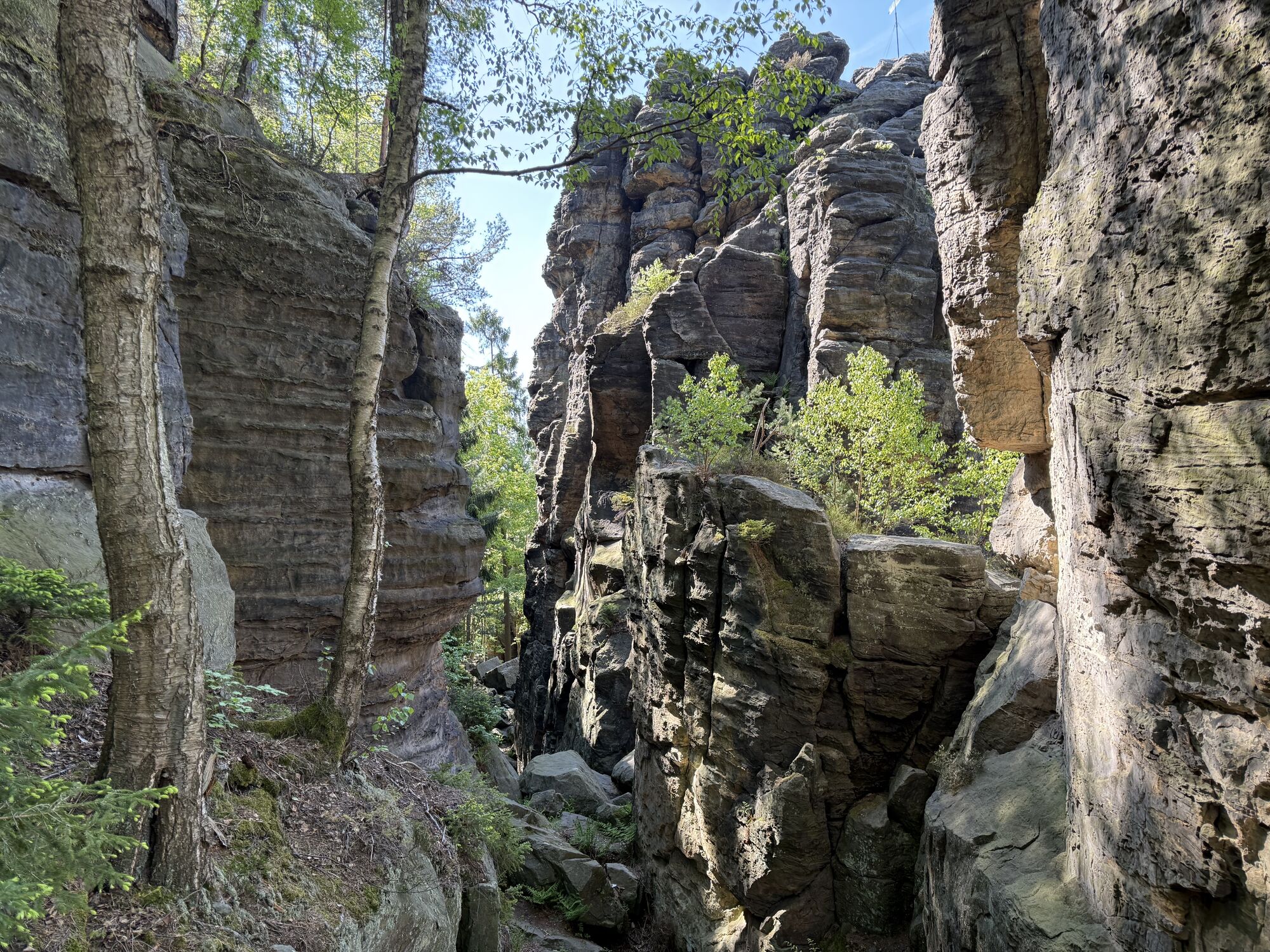

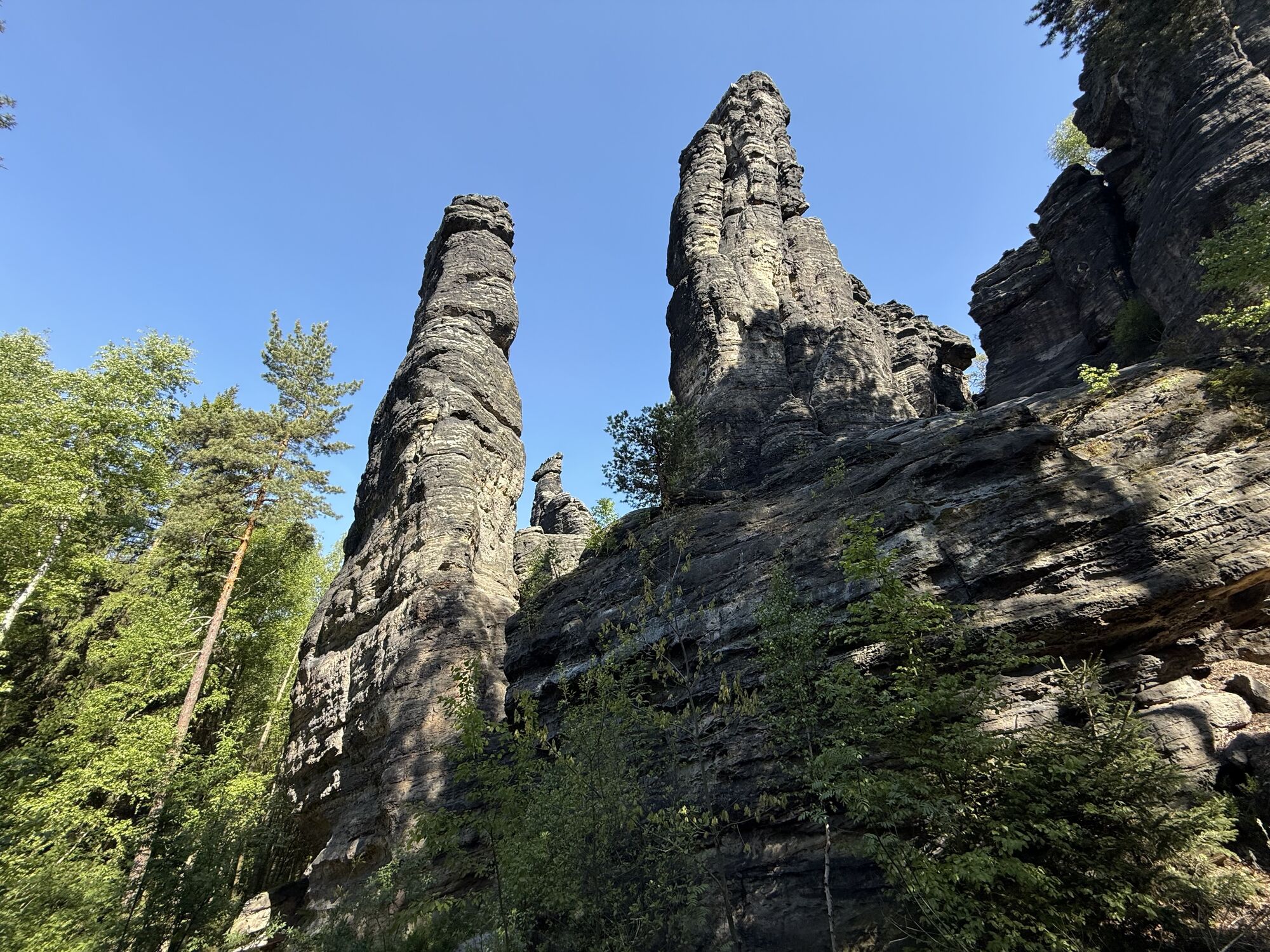
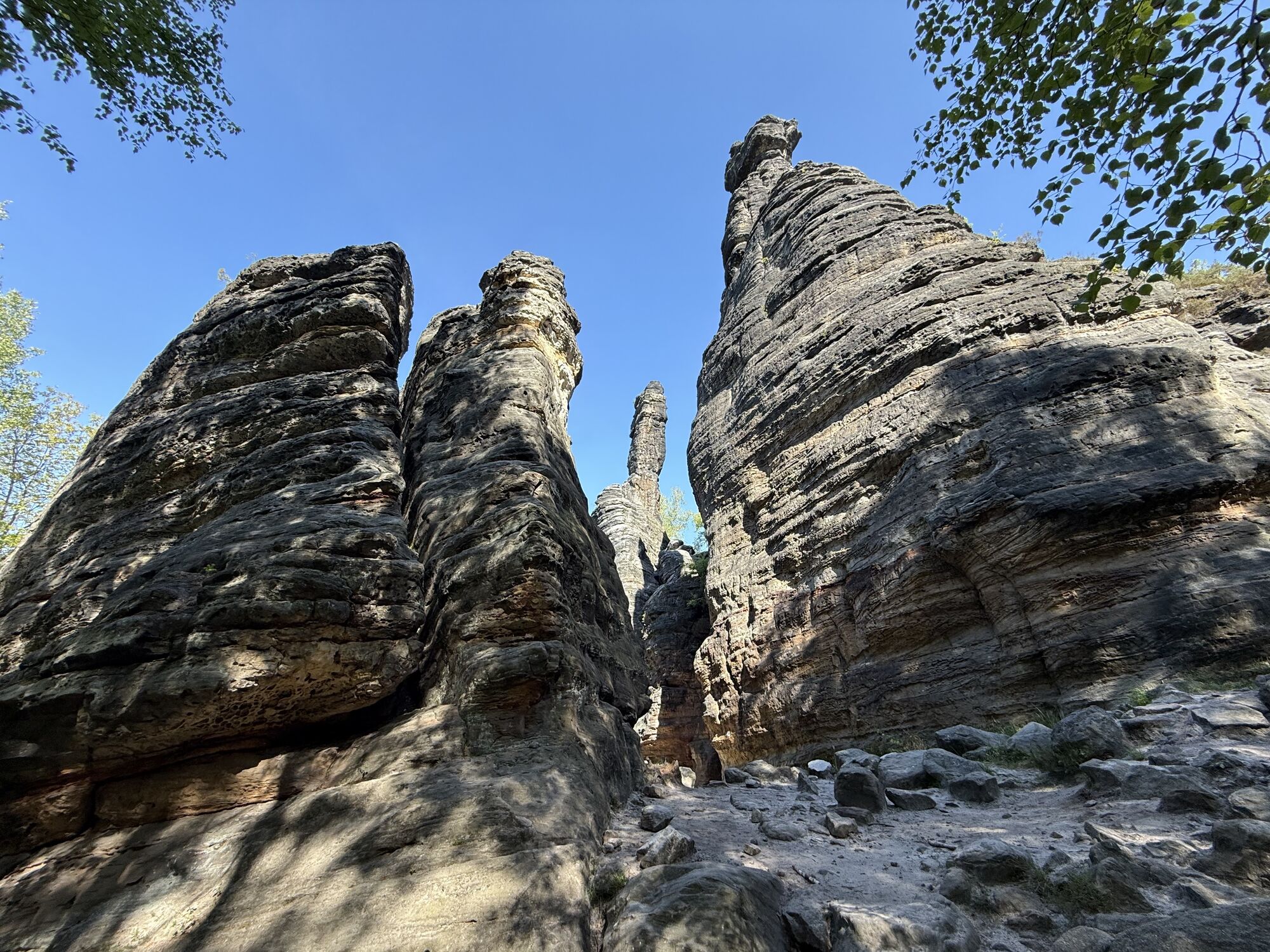

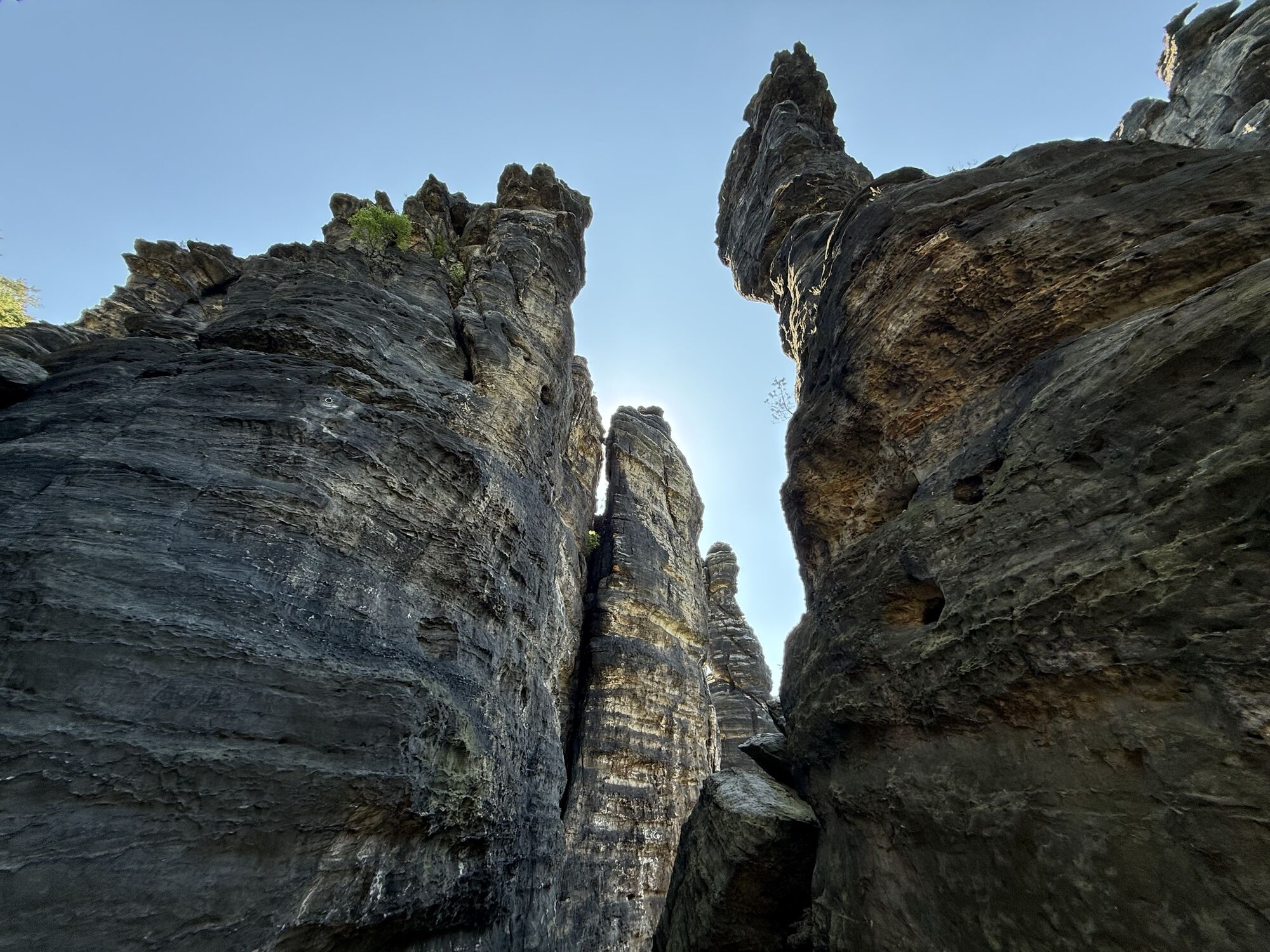

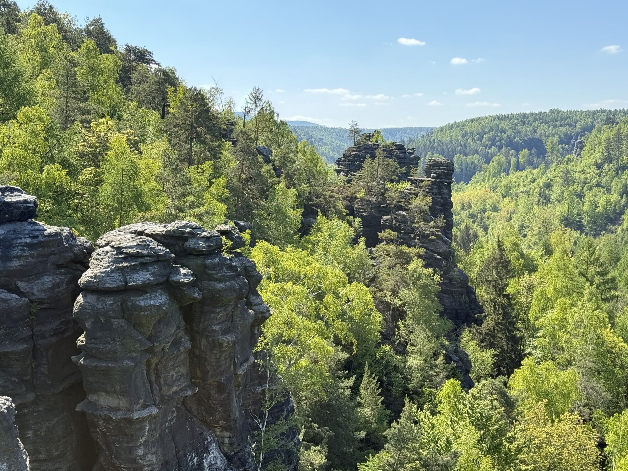
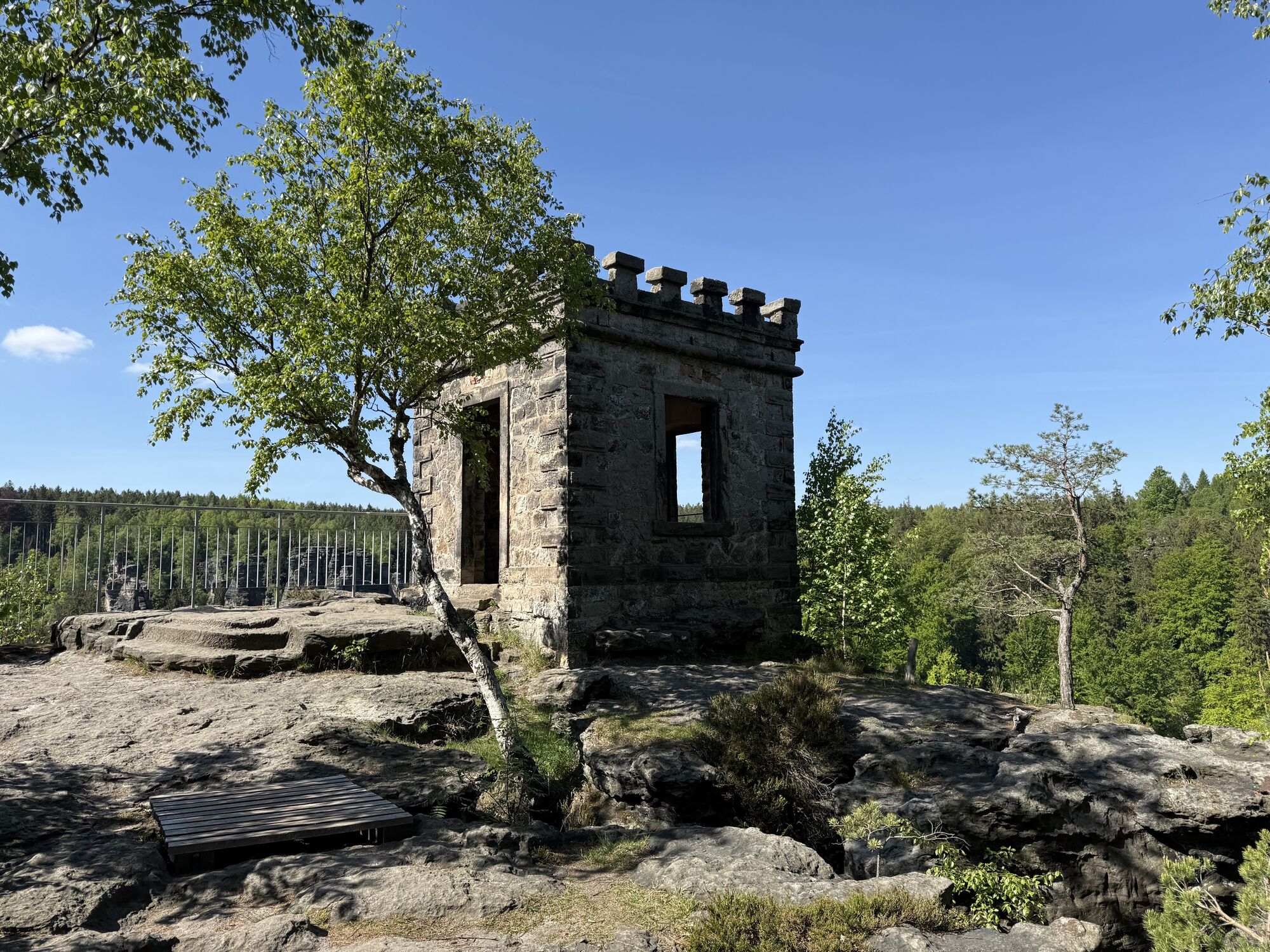
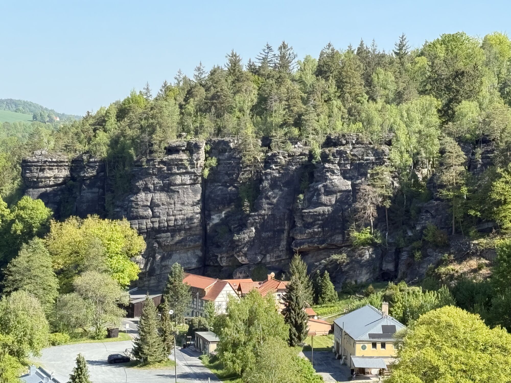
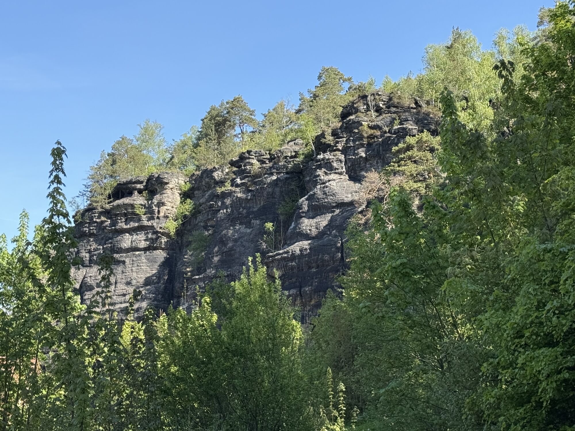
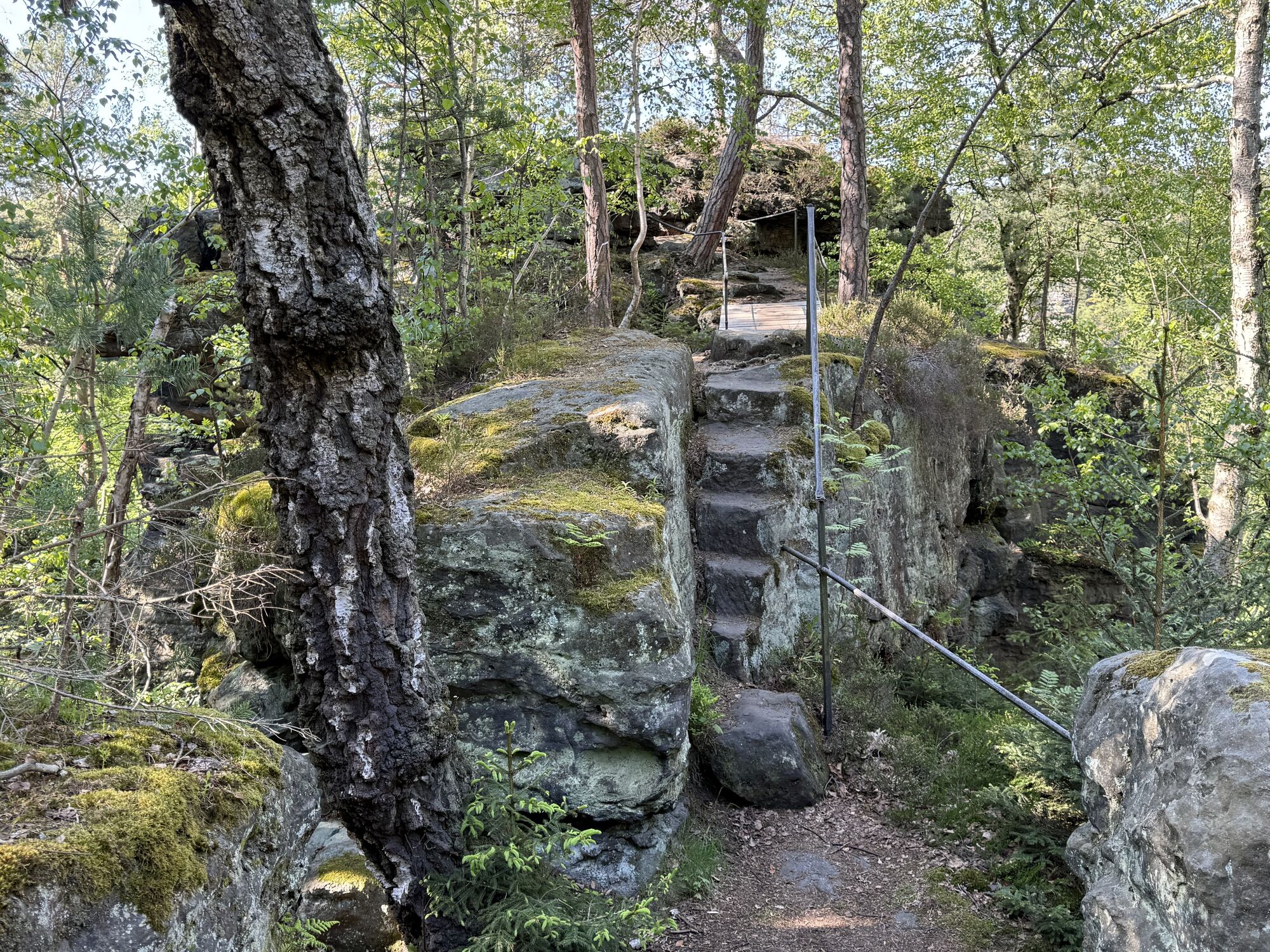
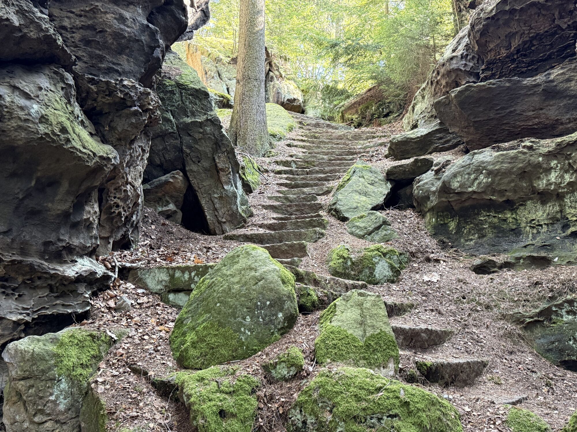


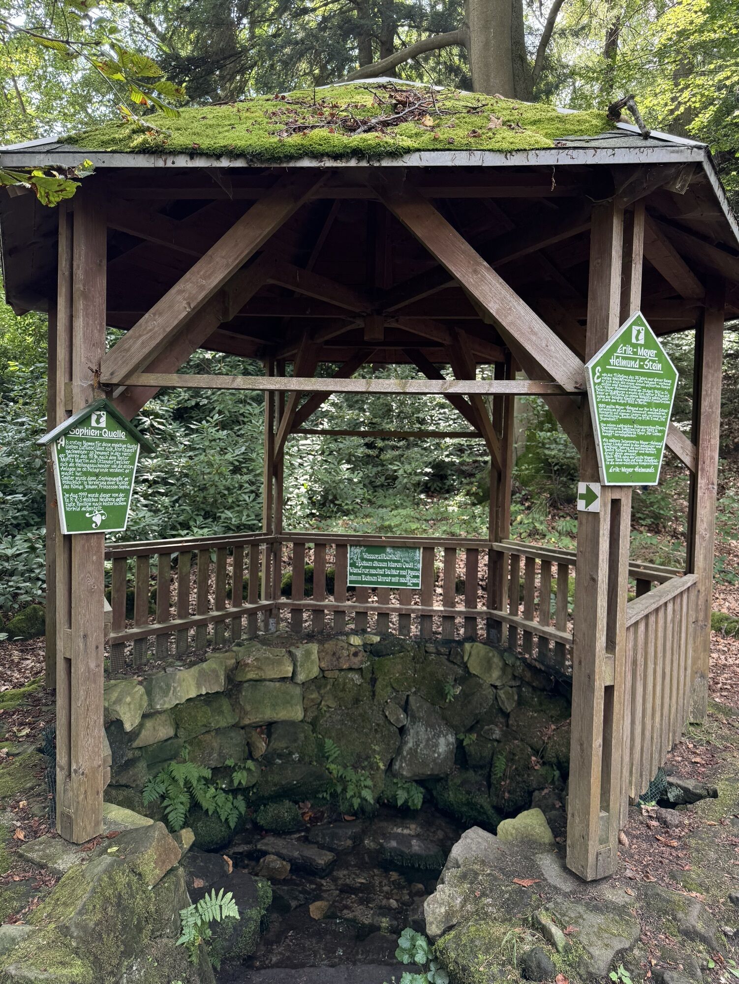
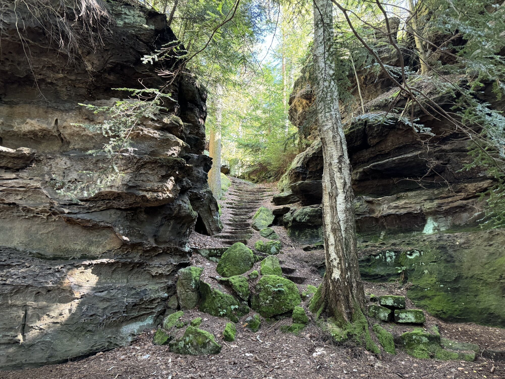
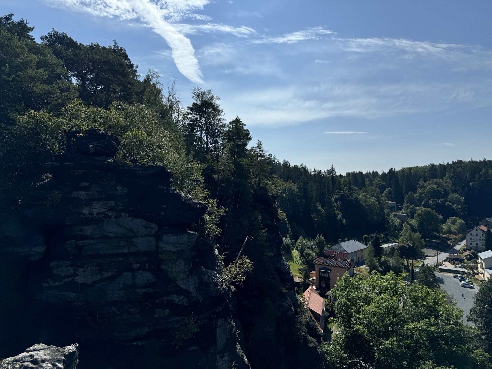
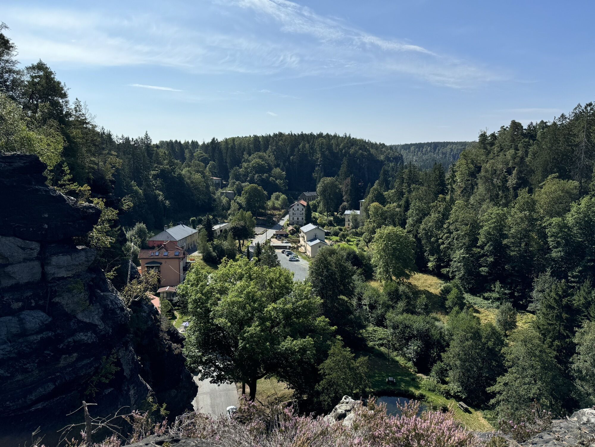
Open for winter refreshments:
Traditional Ottomühle restaurant
Opening hours updated daily on the website
Wegverlauf
Schweizermühlenturm
(385 m)
Gipfel
0,4 km
Hinterer Schroffer Stein
(401 m)
Gipfel
1,1 km
Kuchenturm
(426 m)
Gipfel
1,7 km
Wegverlauf
Hercules Column-Johanniswacht Tour
mittel
Winterwandern
5,33
km
Schweizermühlenturm
(385 m)
Gipfel
0,4 km
Kapuziner
(400 m)
Gipfel
0,5 km
Zerklüftete Wand
(408 m)
Gipfel
0,6 km
Herkuleskopf
(399 m)
Gipfel
0,9 km
Schluchtnadel
(409 m)
Gipfel
1,0 km
Herkuleswand
(404 m)
Gipfel
1,0 km
Herkuleshöhle
(415 m)
Höhleneingang
1,0 km
Herkulesstein
(394 m)
Gipfel
1,0 km
Kleiner Herkulesstein
(408 m)
Gipfel
1,0 km
Herkulessohn
(393 m)
Gipfel
1,0 km
Kleine Herkulessäule
(391 m)
Gipfel
1,0 km
Große Herkulessäule
(397 m)
Gipfel
1,0 km
Hinterer Schroffer Stein
(401 m)
Gipfel
1,1 km
Vorderer Schroffer Stein
(401 m)
Gipfel
1,1 km
Schraubenkopf
(400 m)
Gipfel
1,1 km
Wegelagerer
(391 m)
Gipfel
1,1 km
Herkules Säulen Rosenthal
(427 m)
Aussichtspunkt
1,2 km
Sonny
(419 m)
Gipfel
1,3 km
Sonnenwendstein
(415 m)
Gipfel
1,3 km
Nasser Stein
(418 m)
Gipfel
1,3 km
Wohlrabhöhle
(416 m)
Höhleneingang
1,4 km
Geburtstagshöhle
(427 m)
Höhleneingang
1,7 km
Gesuchter Turm
(427 m)
Gipfel
1,7 km
Kuchenturm
(426 m)
Gipfel
1,7 km
Ringelturm
(425 m)
Gipfel
1,7 km
Rosenthaler Turm
(421 m)
Gipfel
2,1 km
Landgasthof Ottomühle
(371 m)
Restaurant
2,5 km
Johannismauer
(423 m)
Gipfel
3,4 km
Friederike
(418 m)
Gipfel
3,4 km
Fritziturm
(418 m)
Gipfel
3,4 km
Johanniskopf
(418 m)
Gipfel
3,4 km
Morsche Wand
(418 m)
Gipfel
3,4 km
Mauerblümchen
(416 m)
Gipfel
3,4 km
Waldkapelle
(386 m)
Gipfel
5,0 km

Weginformationen
Kartenmaterial
Saxon Switzerland winter hiking and adventure map - edition with 35 selected hiking routes including winter refreshment stops
Sicherheitshinweise
red tour (medium difficulty)
Zusatzinfos & Tipps
Tipps
Detour to the Kanzelstein viewpoint (above the Biela, yellow markings)!
Interesting facts about winter hiking in Saxon Switzerland
Noch keine Bewertungen
Aktivitäten entlang der Tour

Beliebte Touren in der Nähe
- 4,7
Rathen / Hockstein / Bastei / Rathen
mittelWanderung 14,4 km - 4,6
Von Rathewalde zur Bastei
Wanderung 12,8 km - 4,7
Rundwanderung Bastei Schwendenlöcher -Amselsee
leichtWanderung 6,21 km - 4,7
Pfaffenstein Sachsen/Deutschland
mittelWanderung 3,89 km - 5,0
Basteibrücke
leichtWanderung 2,31 km - 5,0
Lilienstein
leichtWanderung 3,75 km - 4,9
entlang der Schrammsteine, Breite Kluft, Affenwand
mittelWanderung 11,6 km - 4,4
Kurort Rathen: Große Bastei-Runde
mittelWinterwandern 4,75 km - 4,8
Bad Schandau, Schrammsteinrunde
mittelWanderung 11,0 km - 4,6
Caspar-David-Friedrich-Weg
mittelWanderung 15,1 km
Wandern & Tracking

Über 550.000 Tourenvorschläge, detailliertes Kartenmaterial und ein intuitiver Routenplaner machen die App zum Must-have für alle Naturbegeisterten.

Verpasse keine Angebote und Inspirationen für deinen nächsten Urlaub
Zum Newsletter anmelden
Fehler
Ein Fehler ist aufgetreten. Bitte versuche es erneut.Vielen Dank für deine Anmeldung
Deine E-Mail-Adresse wurde in den Verteiler eingetragen.
Touren in ganz Europa
Österreich Schweiz Deutschland Italien Slowenien Frankreich Niederlande Belgien Polen Liechtenstein Tschechien Slowakei Spanien Kroatien Bosnien und Herzegowina Luxemburg Andorra Portugal Island Vereinigtes Königreich Irland Griechenland Albanien Nordmazedonien Malta Norwegen Montenegro Moldau Kosovo Ungarn San Marino Rumänien Estland Lettland Belarus Zypern Litauen Serbien Bulgarien Monaco Dänemark Schweden Finnland





