



Pass feeling between Hunsrück hills and Moselle vineyards


From Morbach, the tour starts off hilly through the Hunsrück, before heading via Gräfendhron and through the valley of the Dhron to Neumagen-Dhron on the Moselle. On the other side of the Moselle, the...
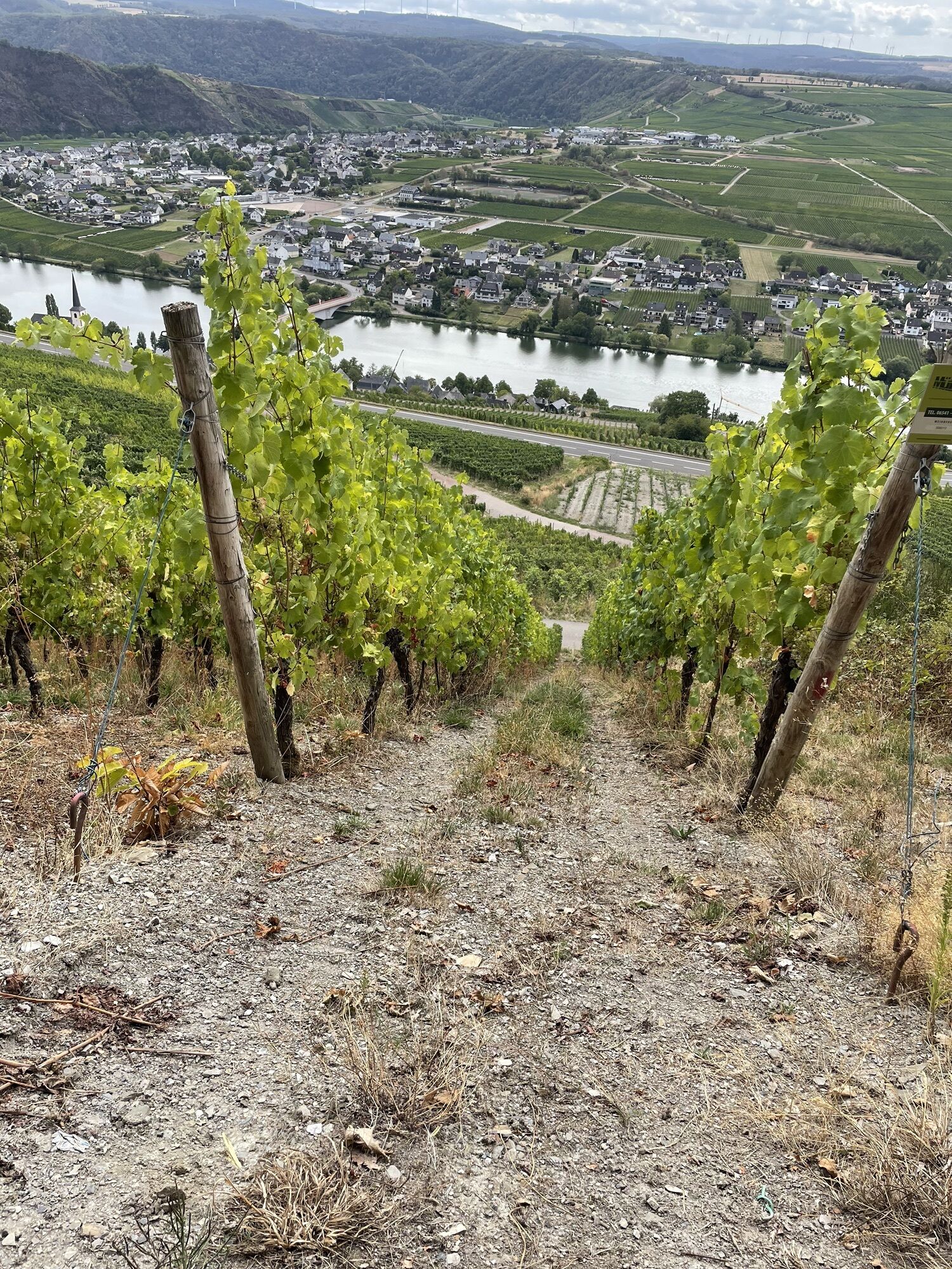
From Morbach, the tour starts off hilly through the Hunsrück, before heading via Gräfendhron and through the valley of the Dhron to Neumagen-Dhron on the Moselle. On the other side of the Moselle, the ascent to the Panormastraße with a gradient of up to 17% makes your calves burn - but you are rewarded with an impressive view over the vines, the rocks of the Moselloreley and the Moselle. A fast descent takes you back to the banks of the Moselle and flattens out after Brauneberg and Burgen to Veldenz. Here, the serpentine ascent of approx. 400 metres in altitude awaits you back into Hunsrück.
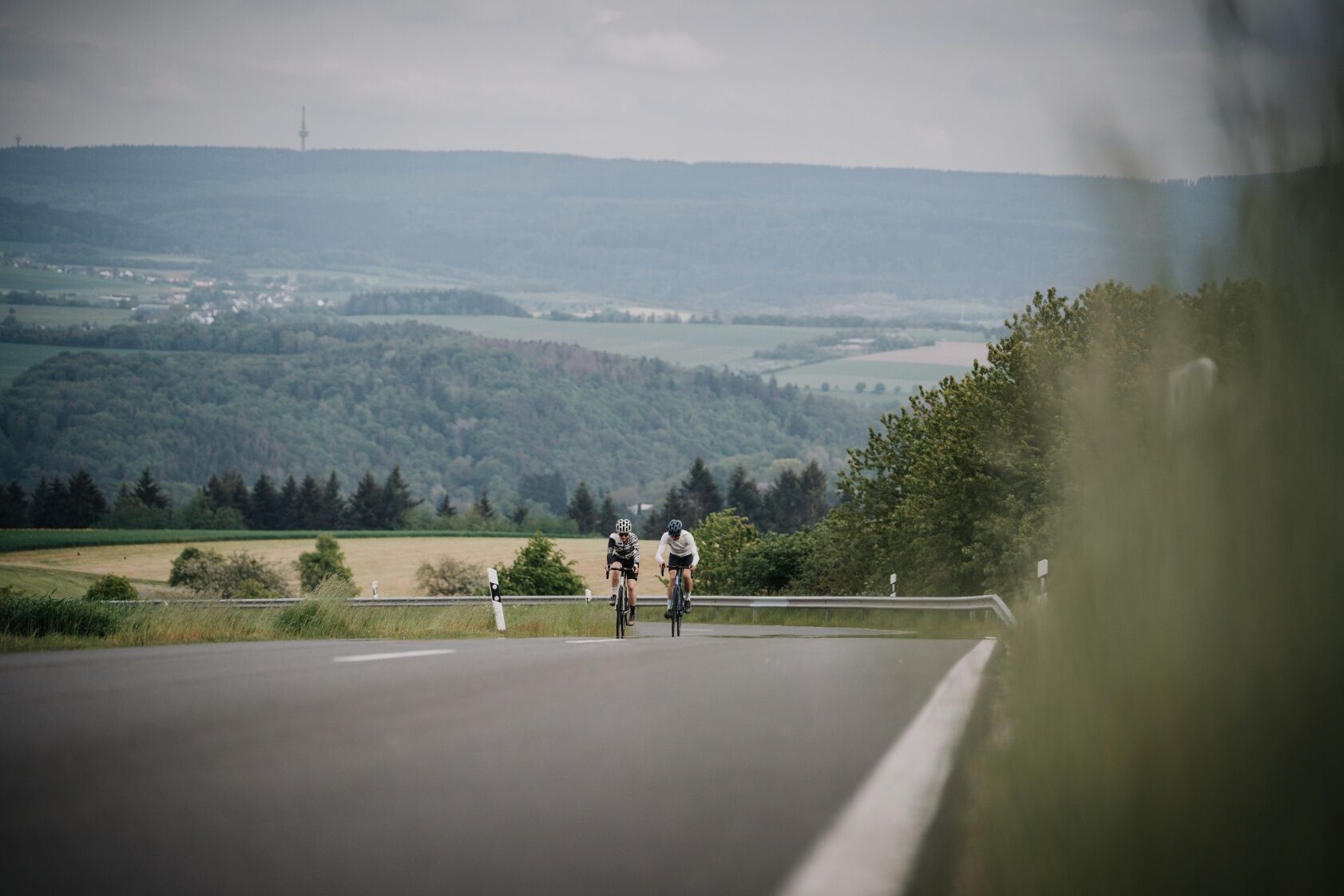

The tour starts in Morbach and runs hilly through the Hunsrück villages of Merscheid Merschbach and Gräfendhron and from there on through the Dhron valley via Papiermühle to Neumagen-Dhron. On the opposite side of the Moselle, the route climbs steeply uphill and past the hang-glider launch ramp to the panorama road. The tour continues downhill to Minheim, where the Moselle is crossed again. Via Wintrich, Brauneberg and Burgen you reach Veldenz, where the serpentine climb into the Hunsrück begins. Past Gornhasuen and via Heinzerath and Rapperath, you reach the starting point.
HelmetMobile phone with full batteryCash, ID cardNavigation device, mapsAir pump / compressed air cartridgeSpare inner tubeSufficient beveragesEnergy bar / gelWind / rain jacket
Observe the traffic rules, pay attention to other road users and drive at an appropriate speed, especially in the exits. Be considerate of other cyclists and pedestrians.
By car, the starting point can be reached from the north via the A61 exit Rheinböllen and from the south via the A1 exit Reinsfeld or via the A62 exit Birkenfeld. Coming from the northwest, you can reach the starting point via the E42.
At the sports field in Morbach.
Be sure to make a photo stop at the 85 m high rocks of the Moselloreley.

Beliebte Touren in der Nähe
- 5,0
Traumschleife Hunolsteiner Klammweg
schwerWanderung 11,9 km - 4,8
Sterntour rund um Bernkastel-Kues - Tour 2: Rundtour auf dem Mosel-Radweg über Trittenheim nach Bernkastel-Kues
leichtRadfahren 57,0 km - 5,0
Moselsteig Etappe 11: Bernkastel-Kues - Ürzig
mittelFernwanderweg 17,1 km - 5,0
Moselsteig Seitensprung Graf Georg Johannes Weg
mittelWanderung 14,1 km Moselsteig (Gesamtstrecke). Dein Weg, mehr zu erleben.
mittelFernwanderweg 348,8 km- 3,0
Mosel-Radweg (Gesamtstrecke): Von Perl bis Koblenz
schwerFernradweg 247,9 km - 5,0
Traben-Trarbach - Bernkastel en terug
mittelWanderung 17,2 km - 4,5
Moselsteig Etappe 08: Leiwen – Neumagen-Dhron
leichtFernwanderweg 14,1 km - 5,0
Moselsteig Etappe 07: Mehring – Leiwen
mittelFernwanderweg 14,5 km - 5,0
Moselsteig Seitensprung Bernkasteler Bärensteig
mittelWanderung 6,49 km
Wandern & Tracking


Verpasse keine Angebote und Inspirationen für deinen nächsten Urlaub
Deine E-Mail-Adresse wurde in den Verteiler eingetragen.


