


Welterbesteig Oberes Mittelrheintal


In June 2002, the unique cultural landscape of the Upper Middle Rhine Valley was inscribed on the UNESCO World Heritage List. It stretches from Rhine kilometre 526 to 593 over a length of 67 km along the...
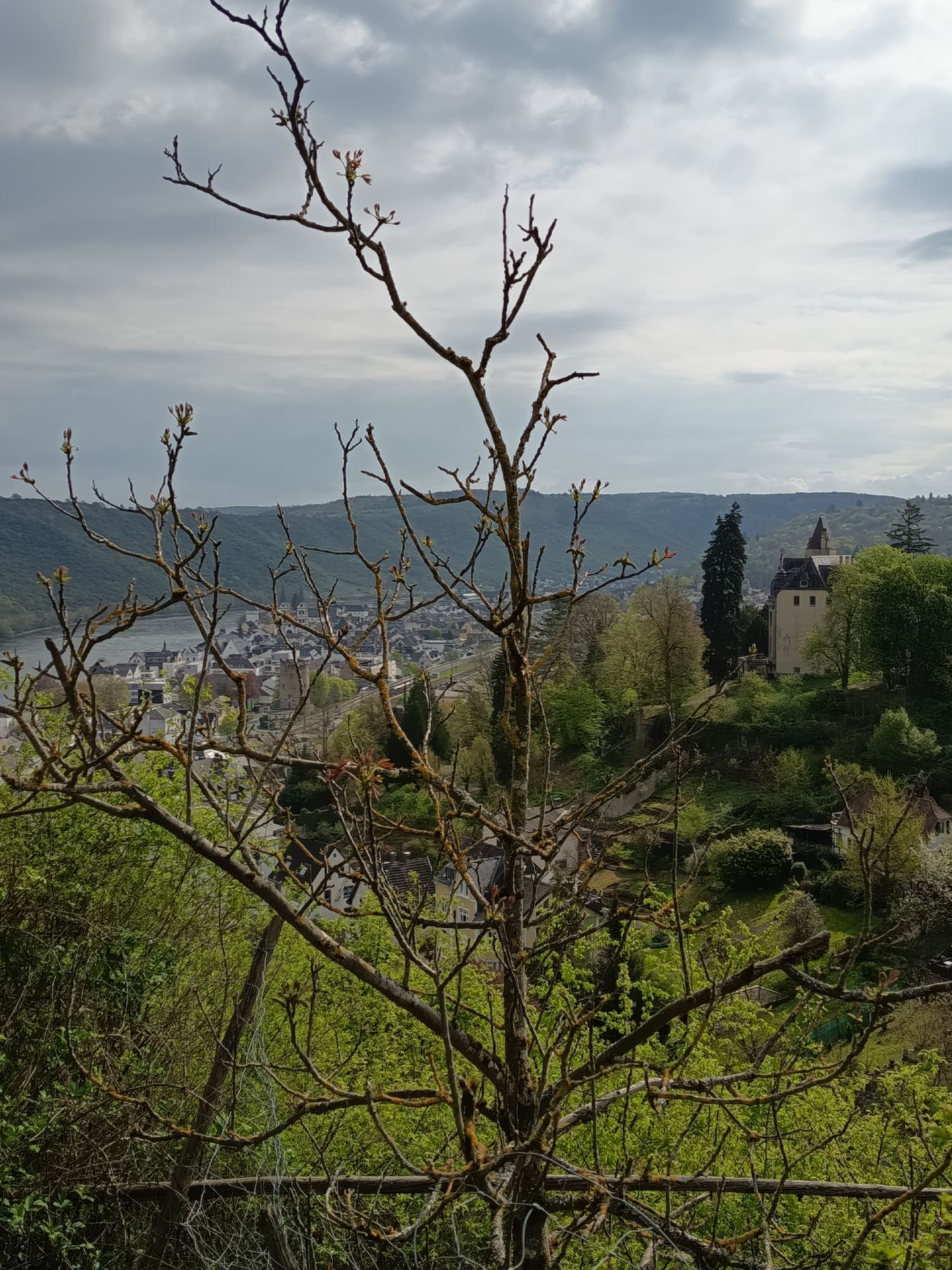
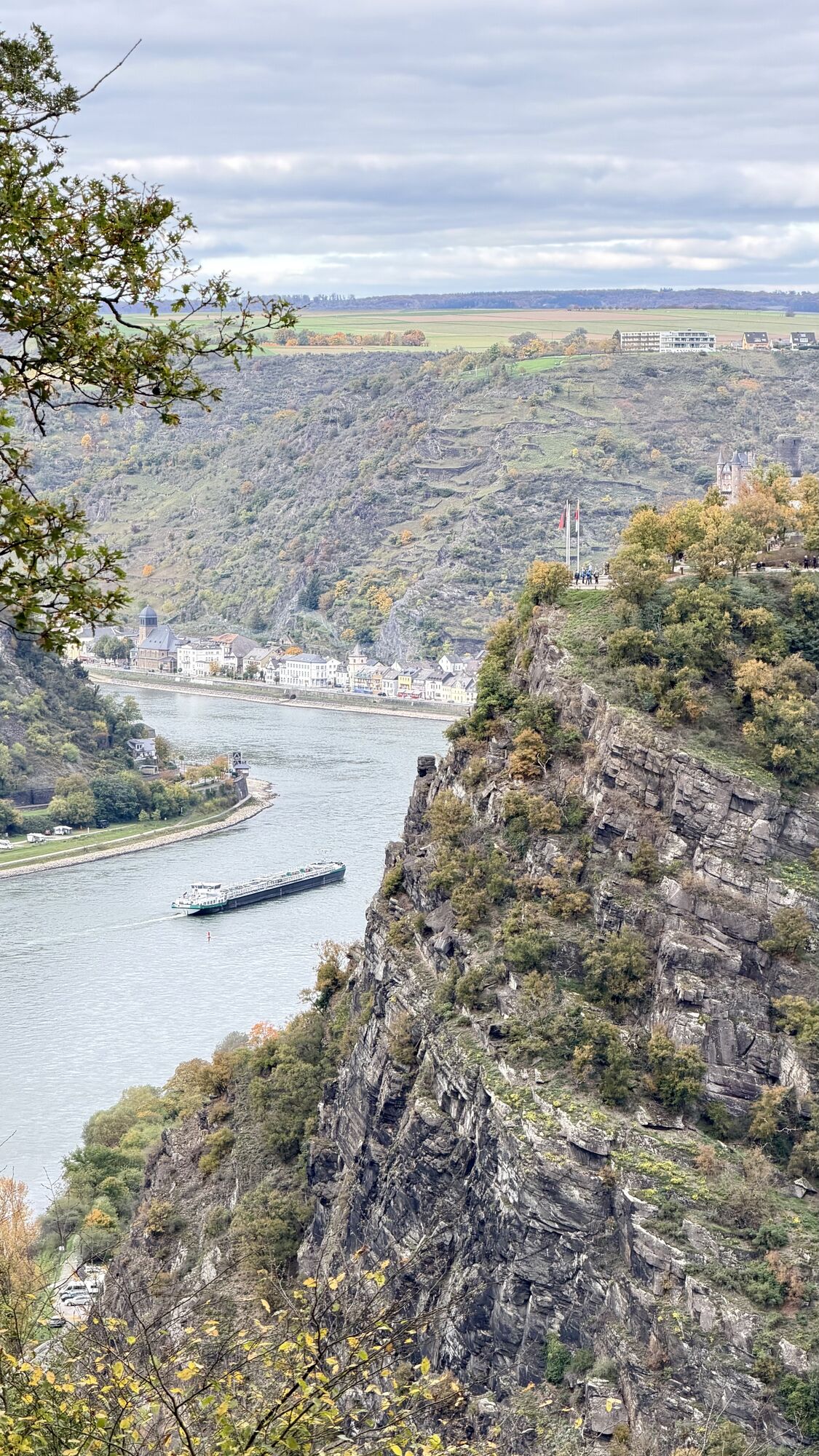
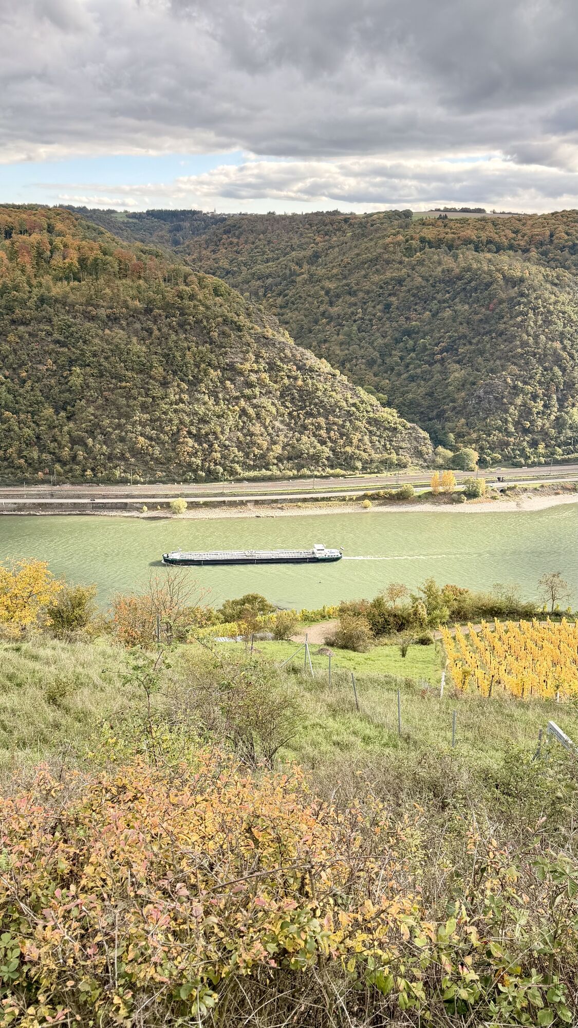
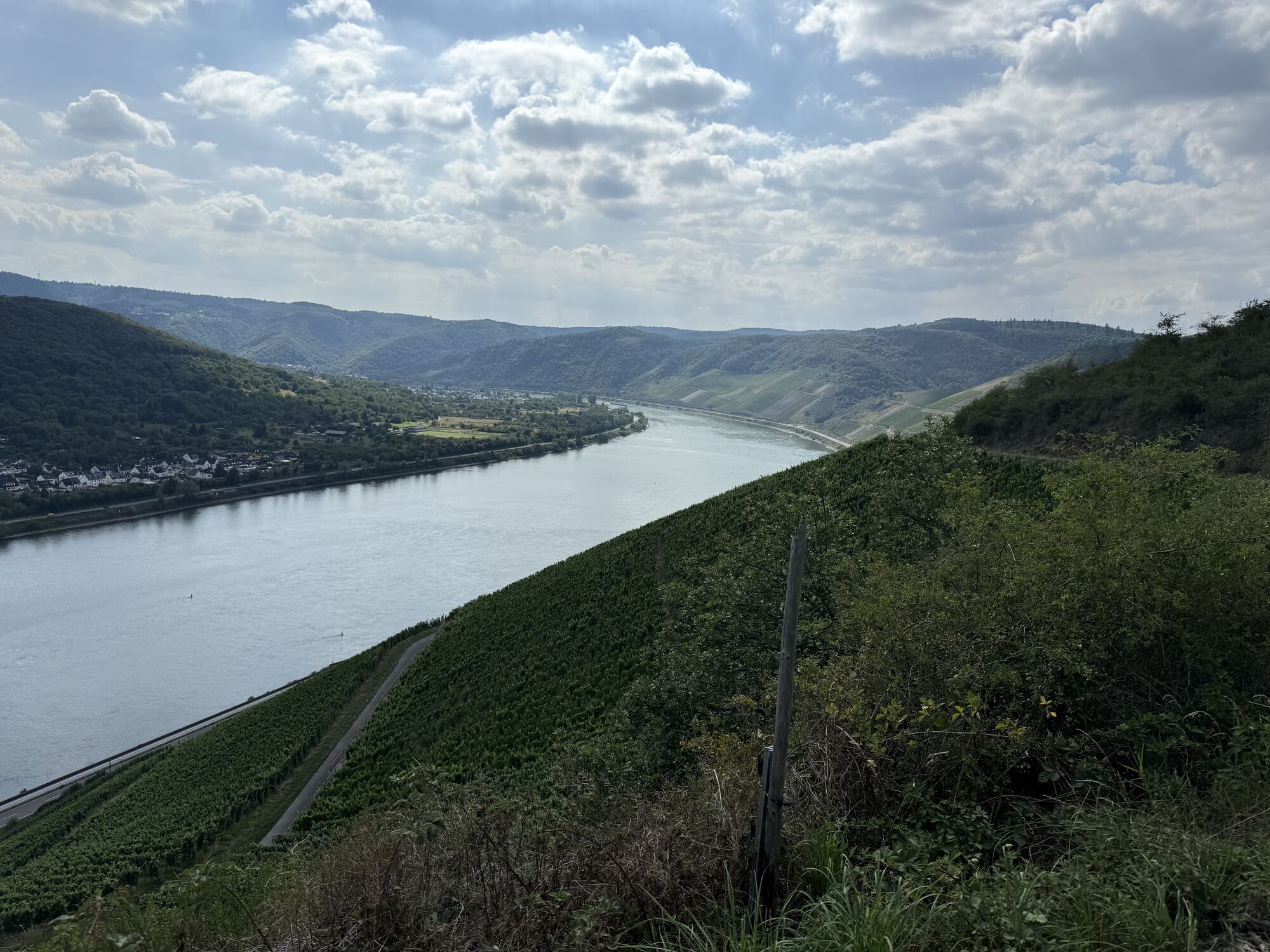
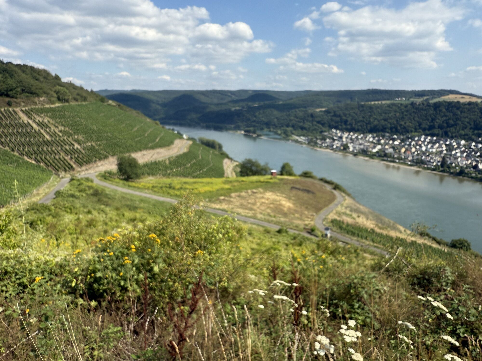
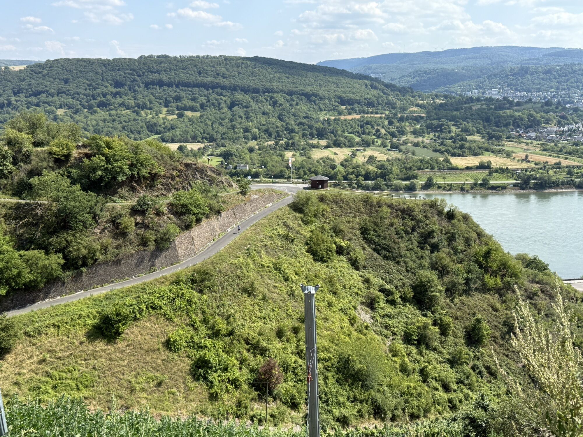
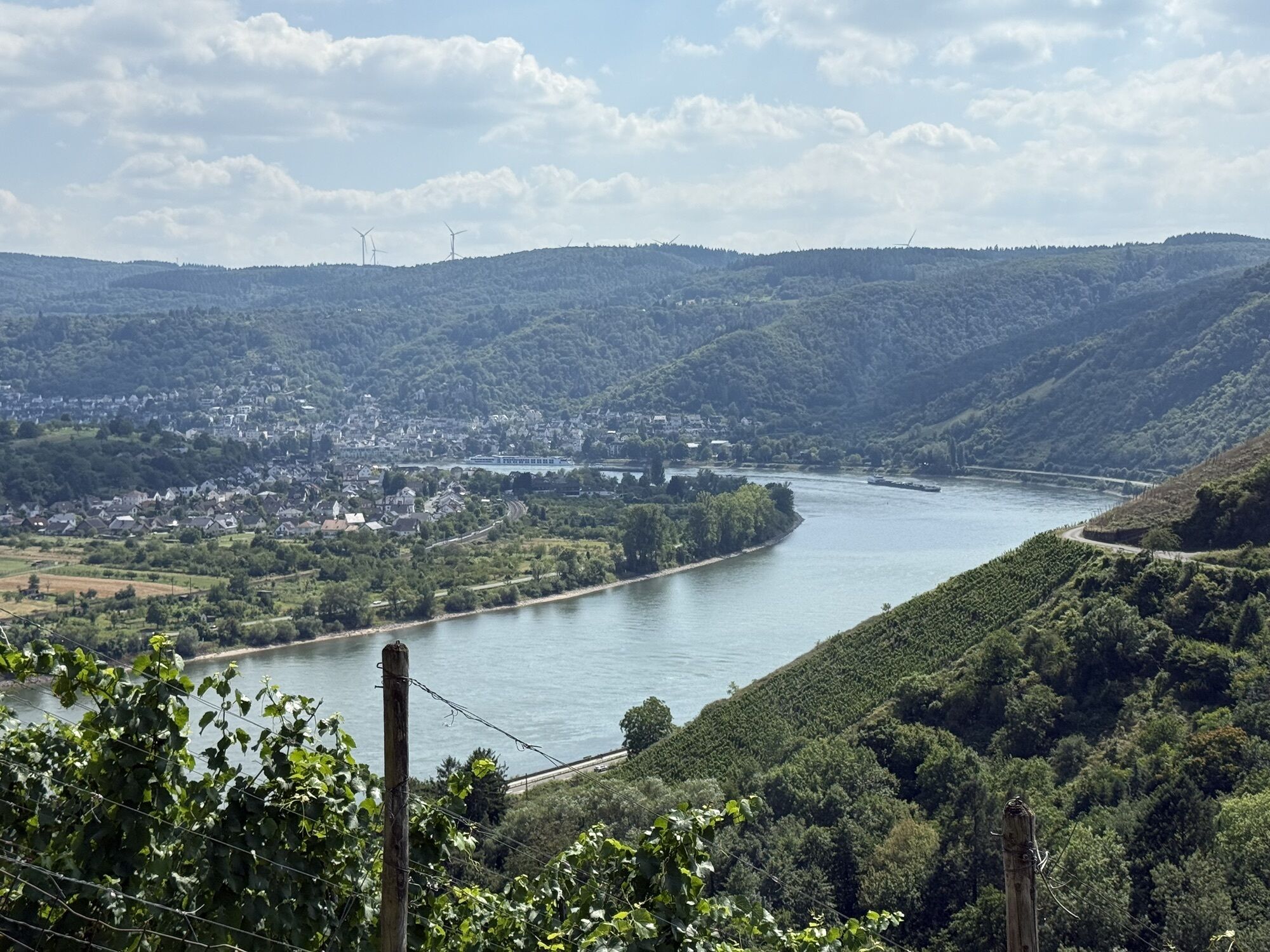
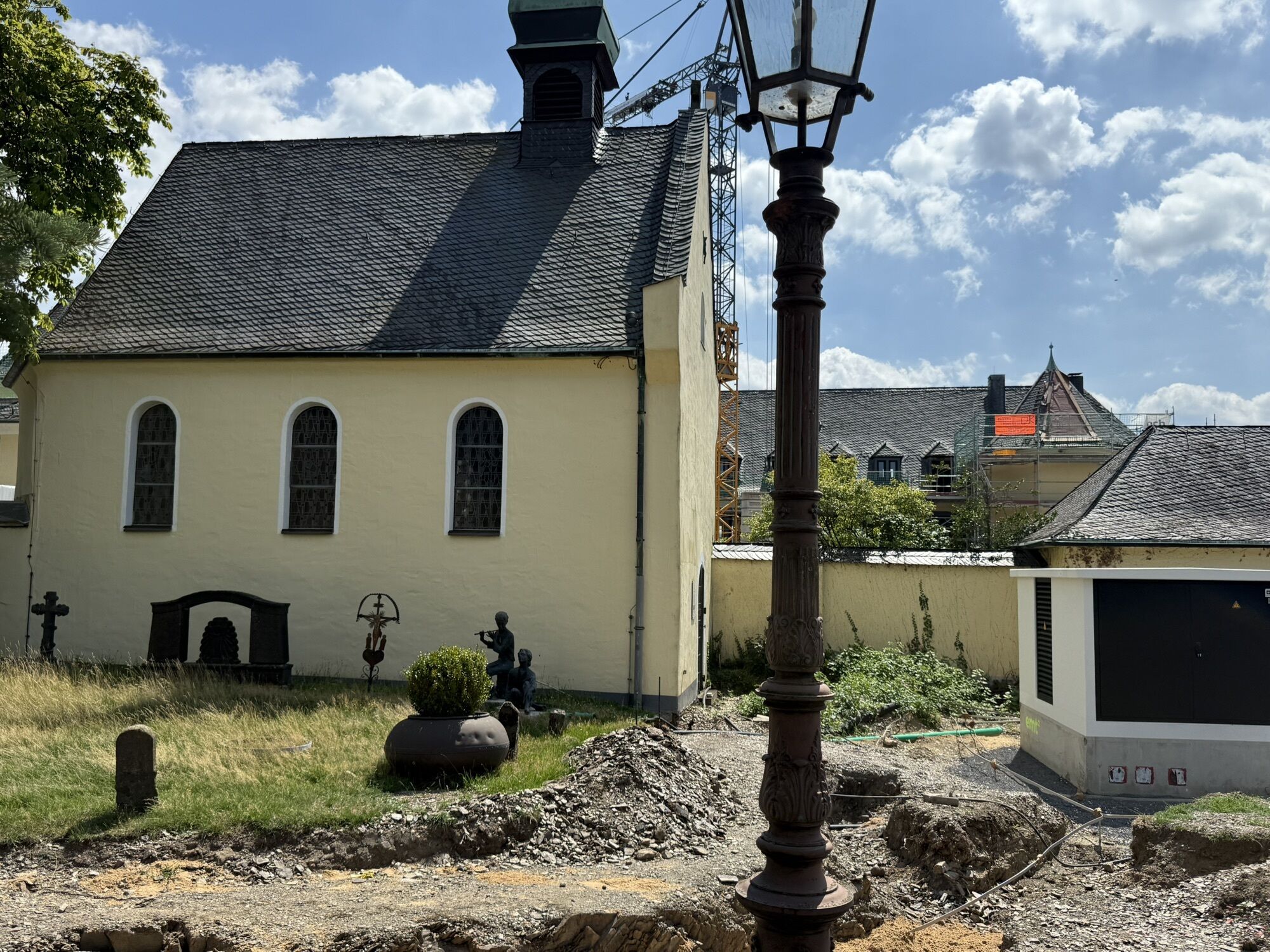
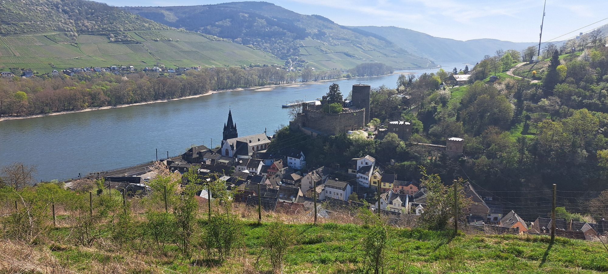
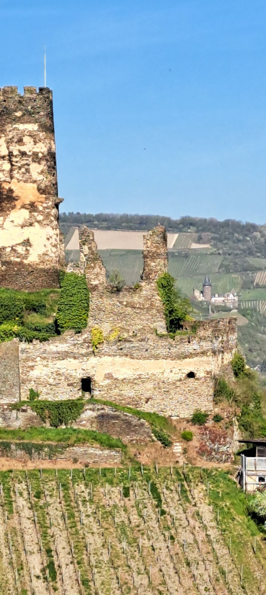
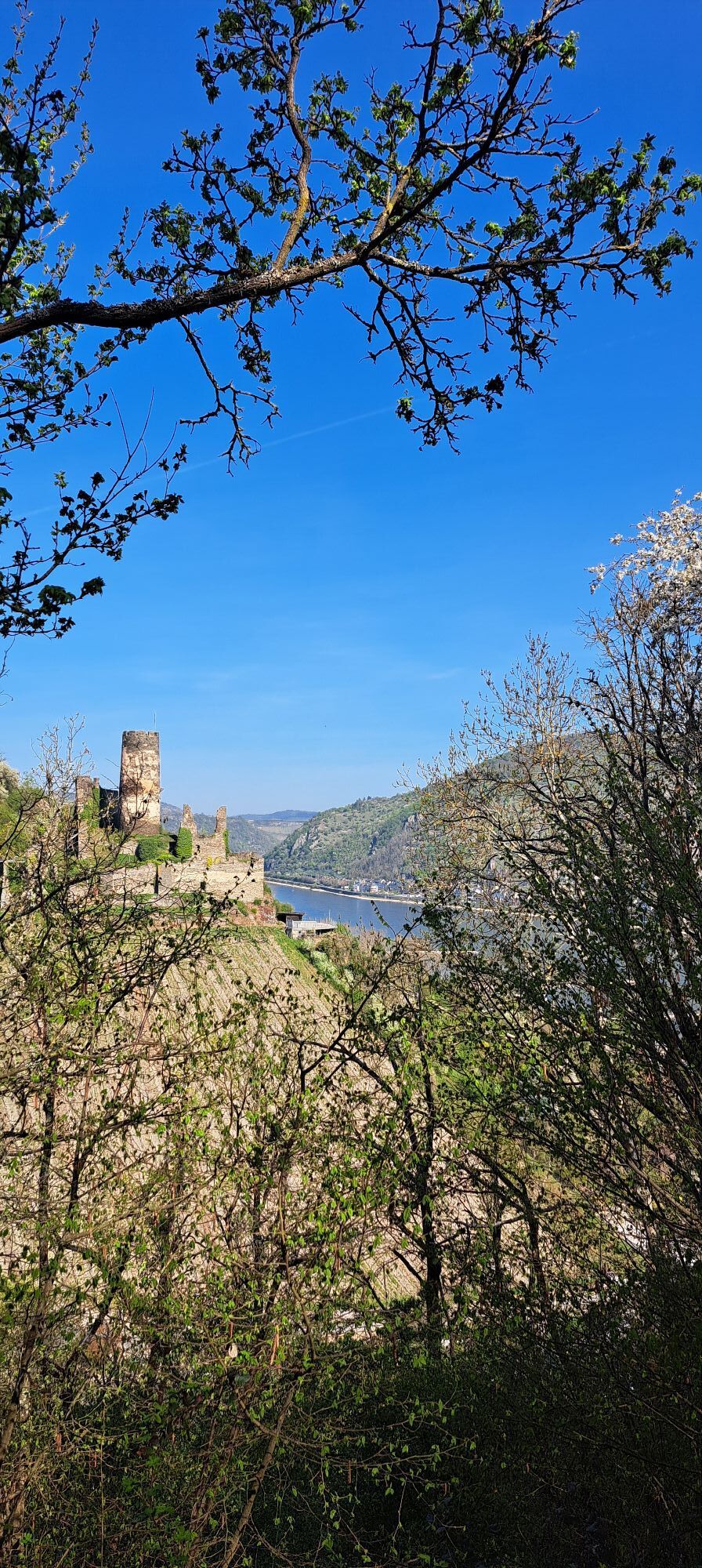
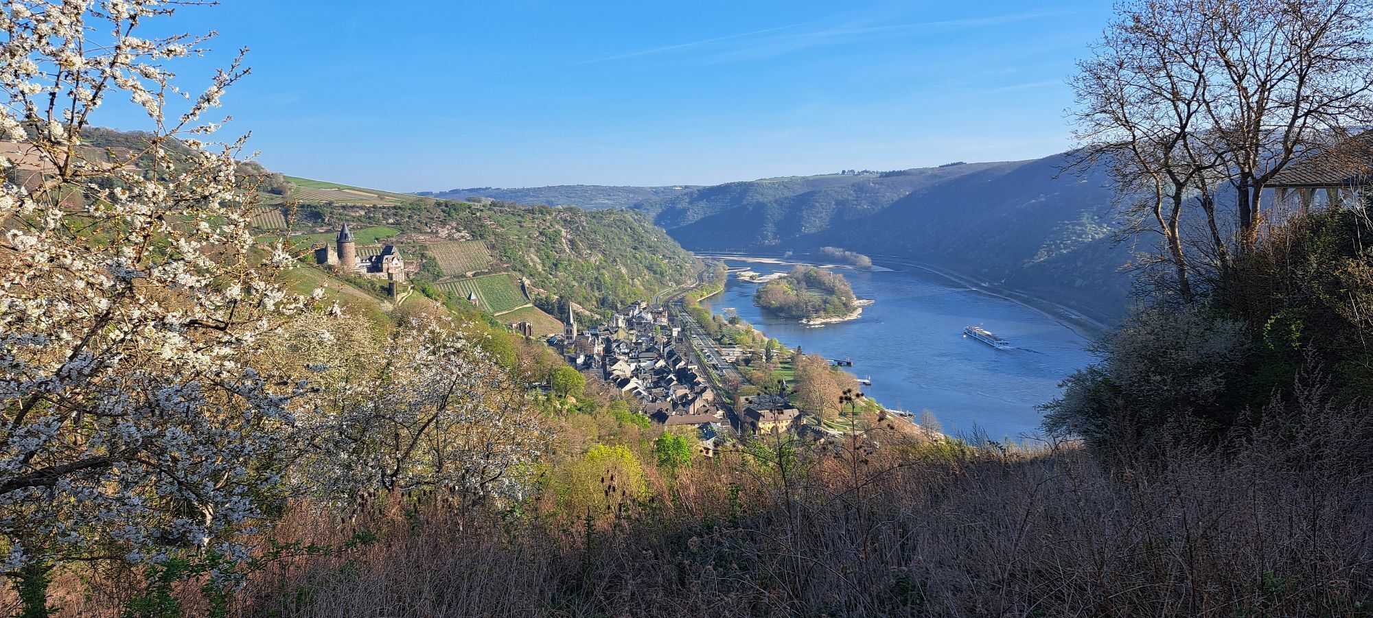
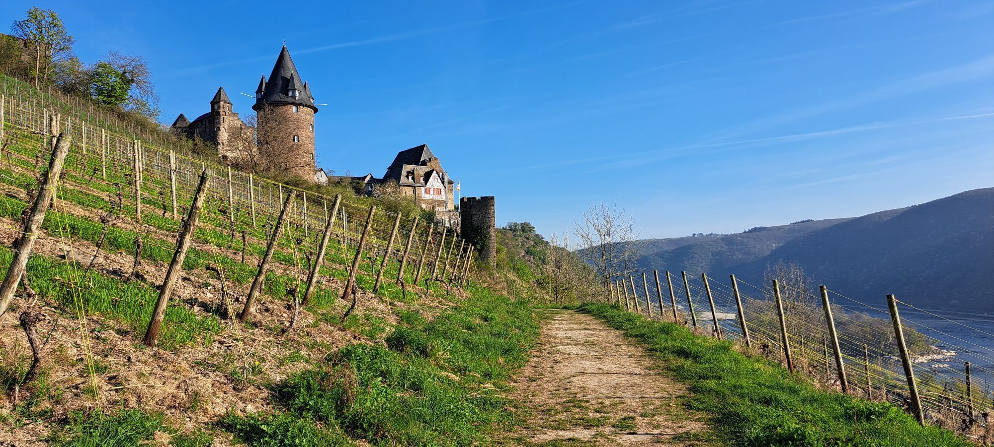
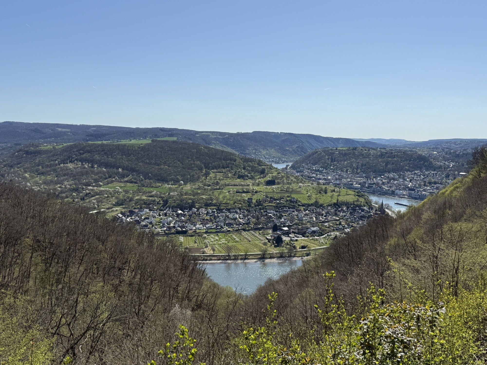
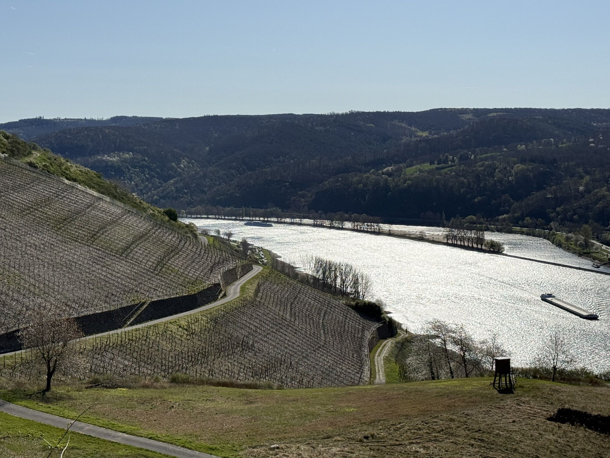
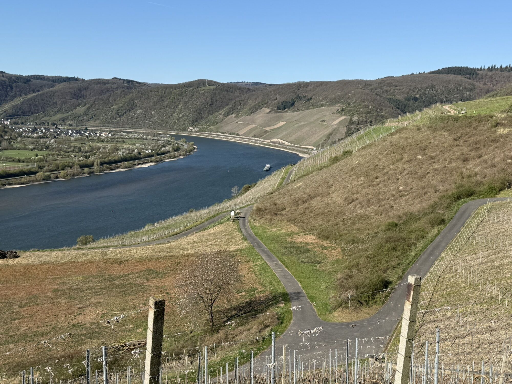
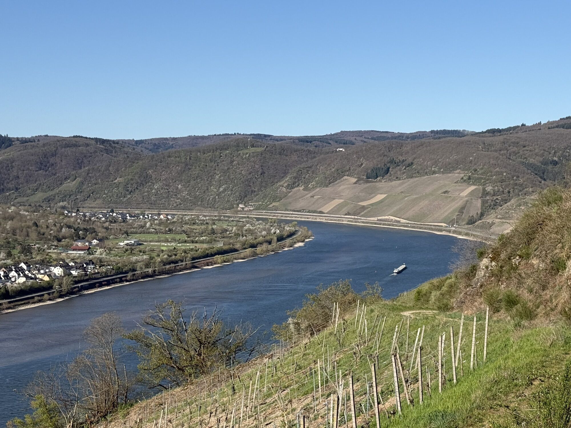
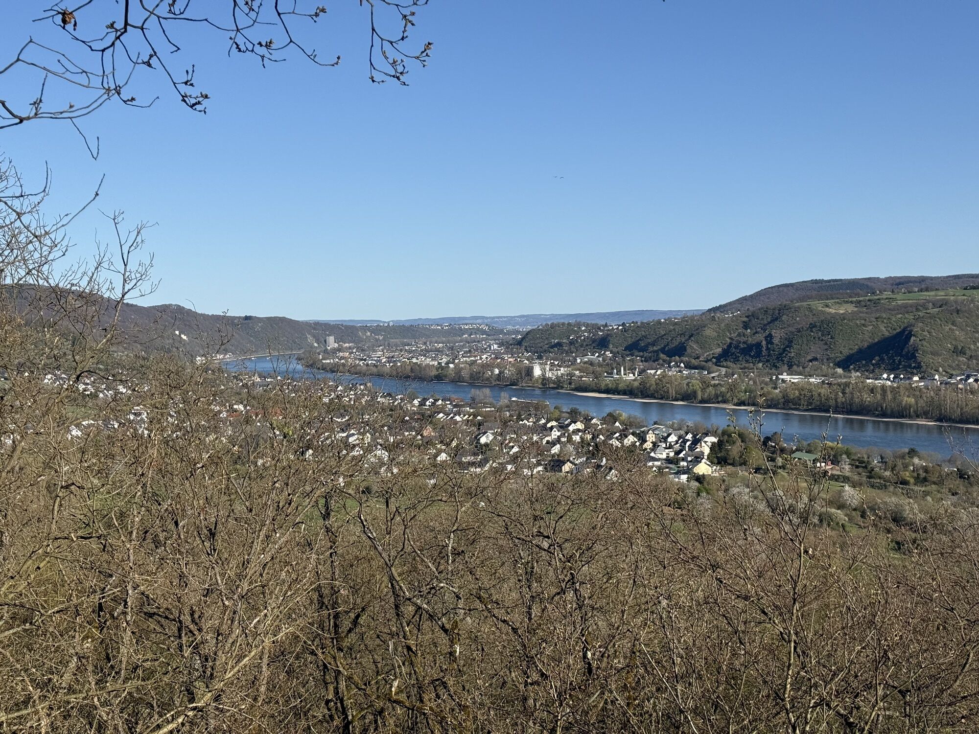
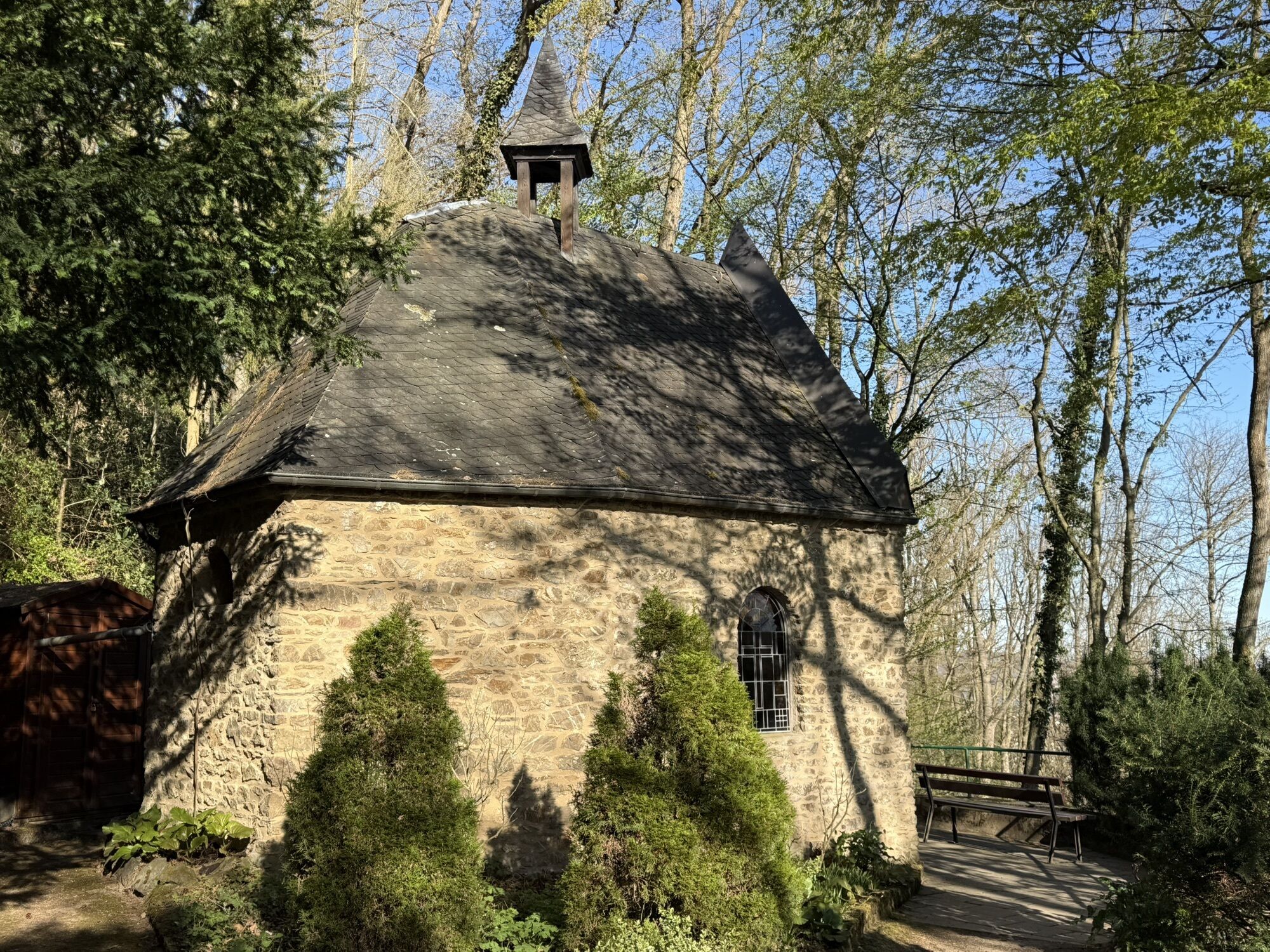
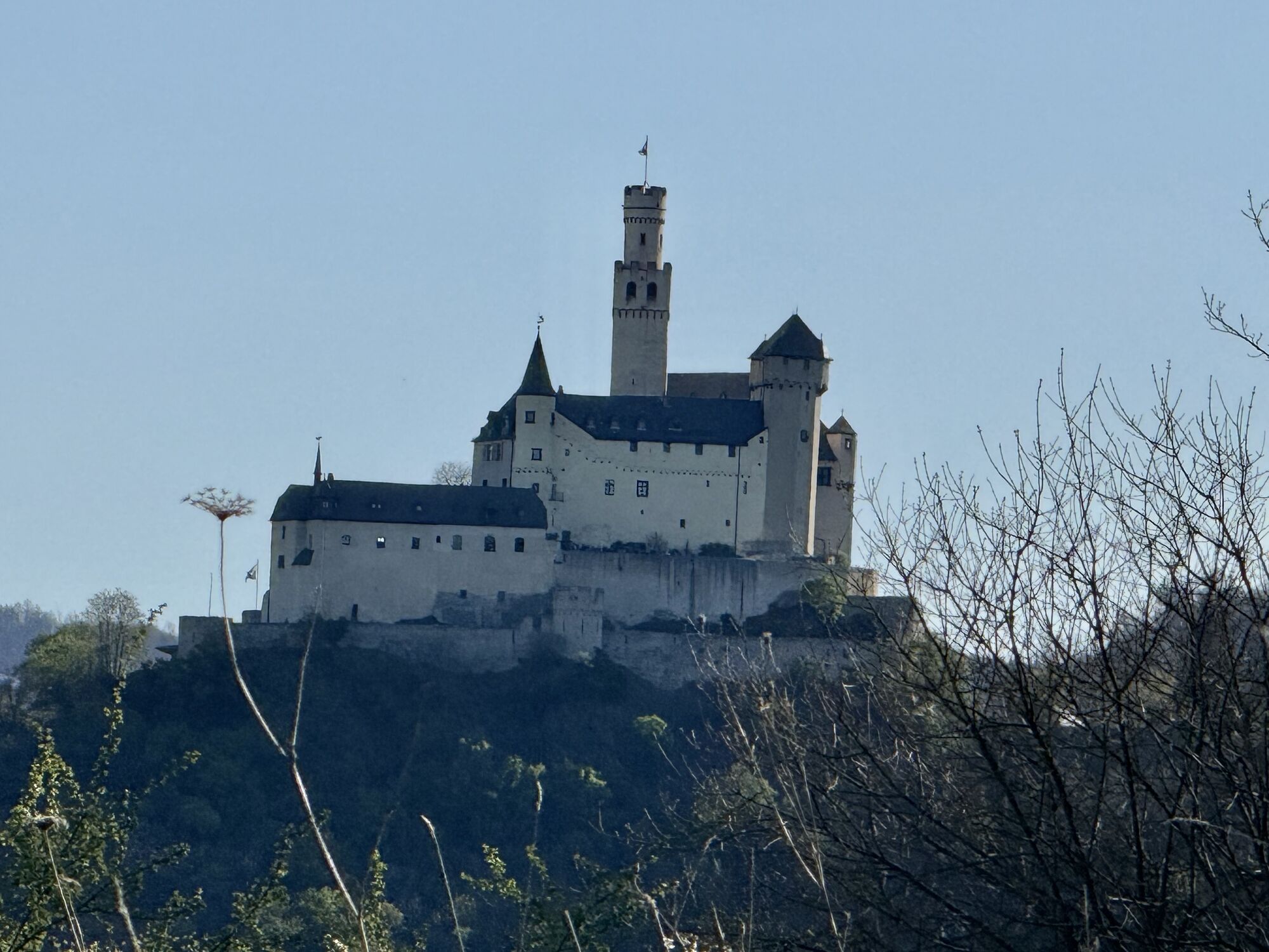
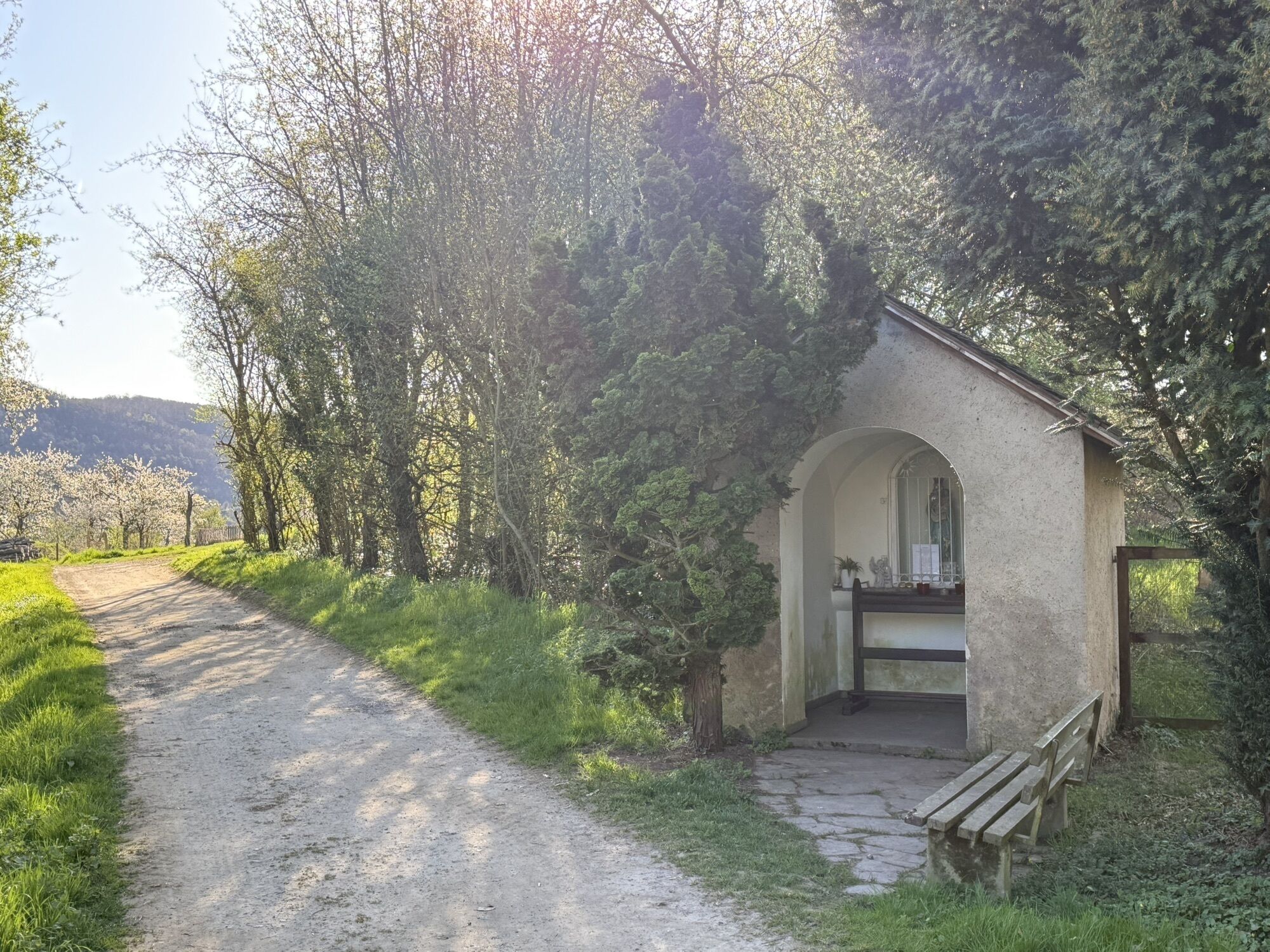
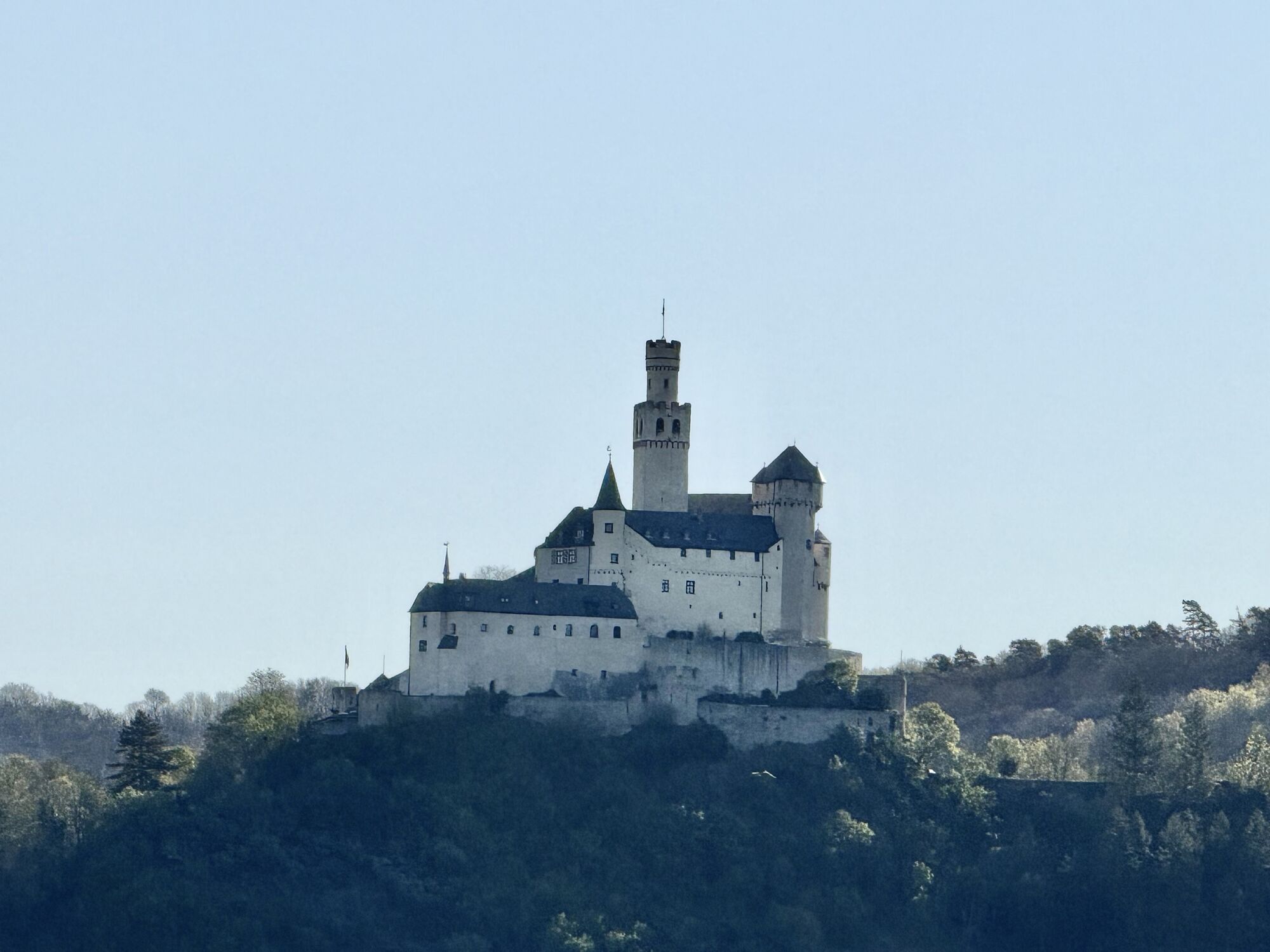
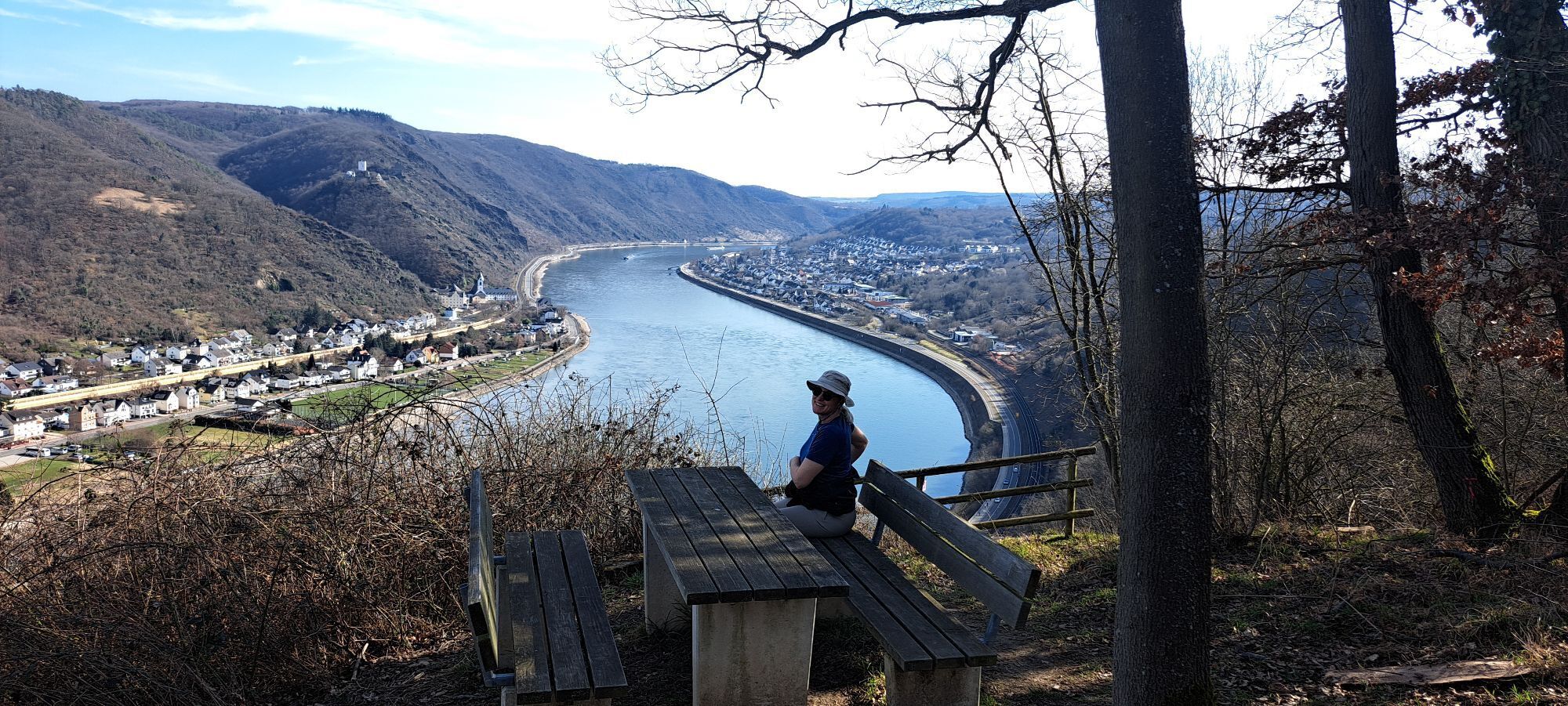
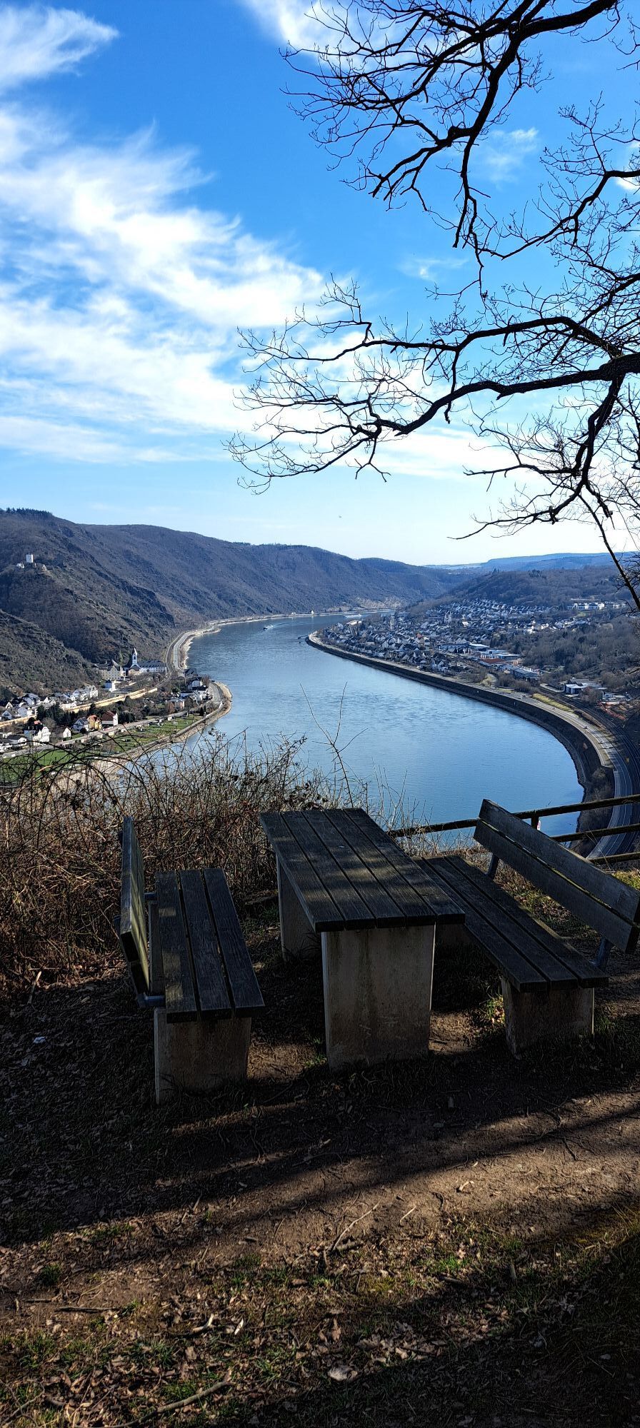
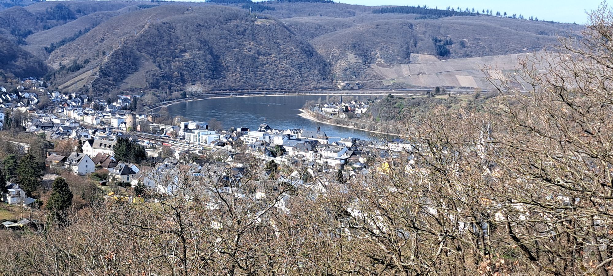
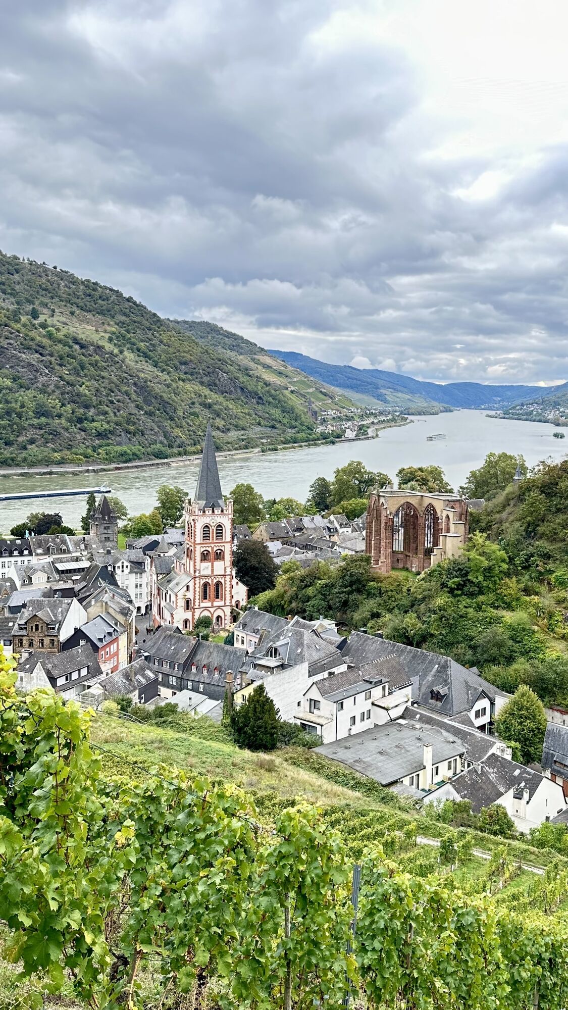
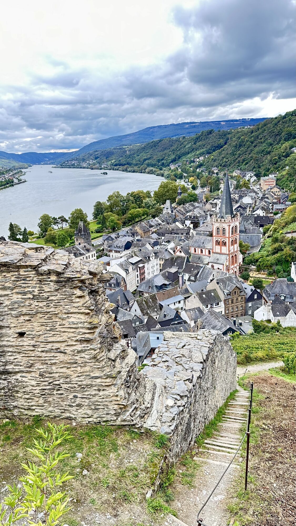
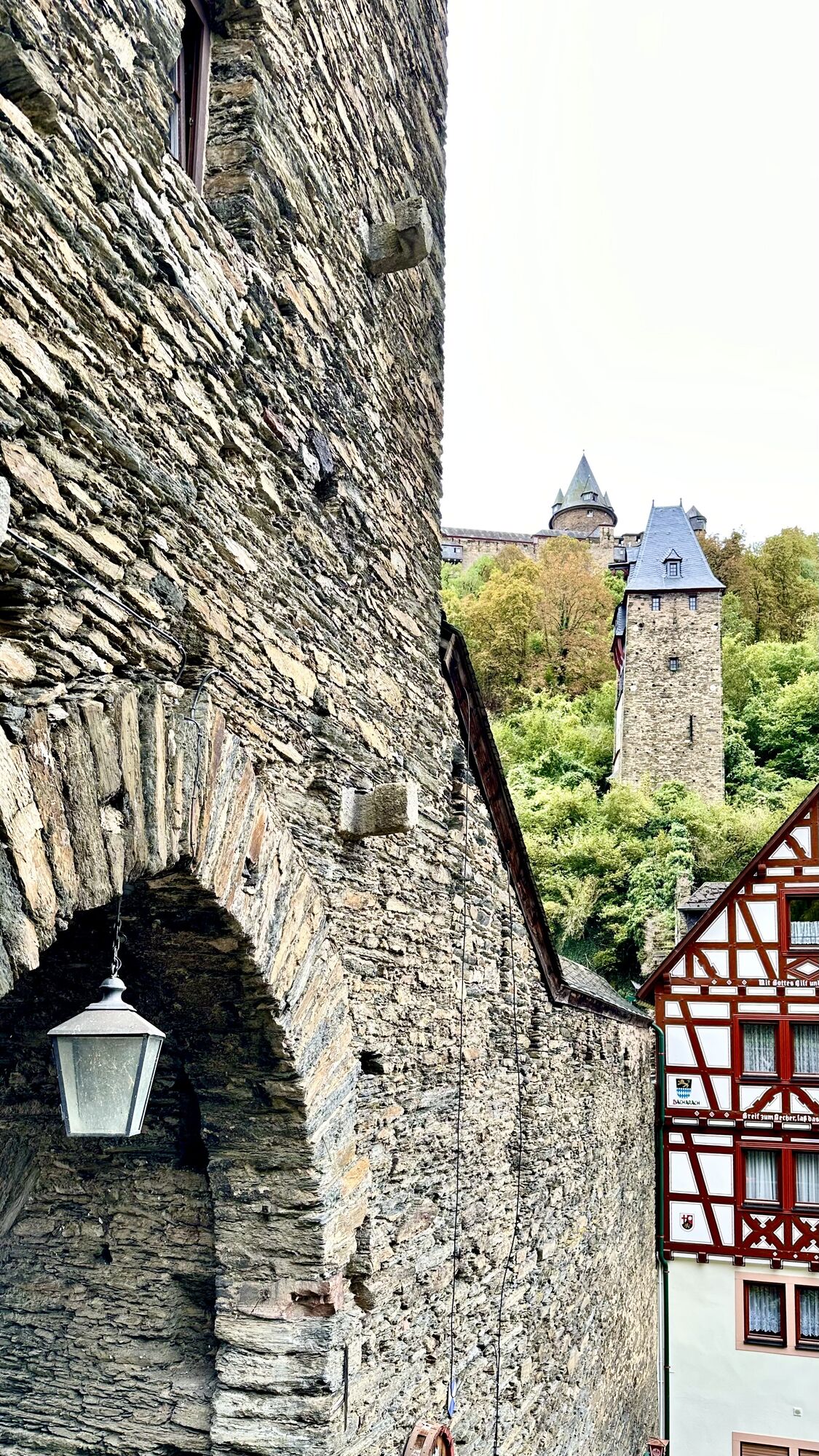
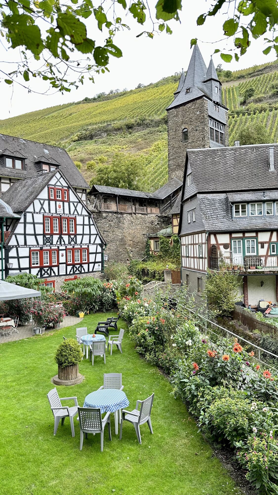
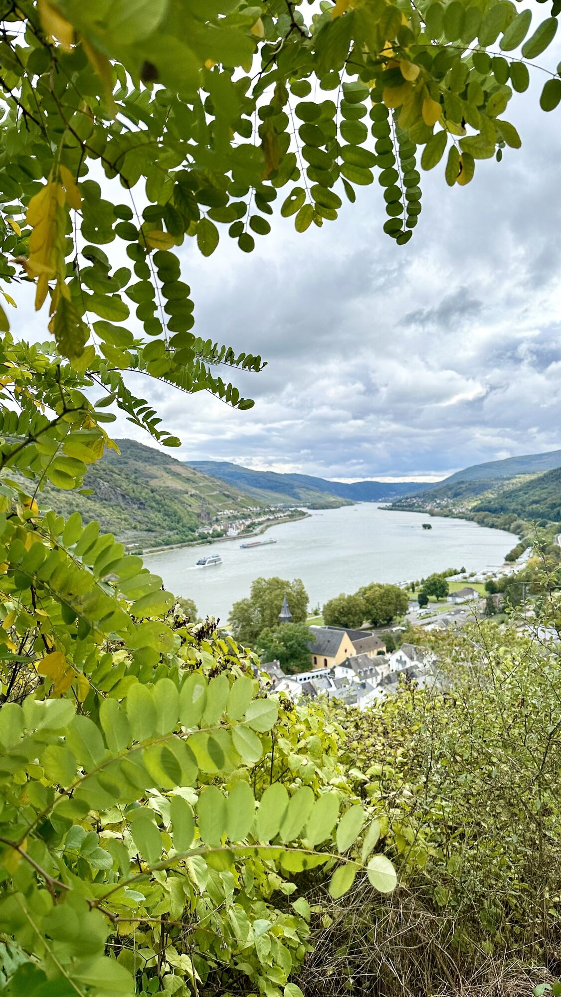
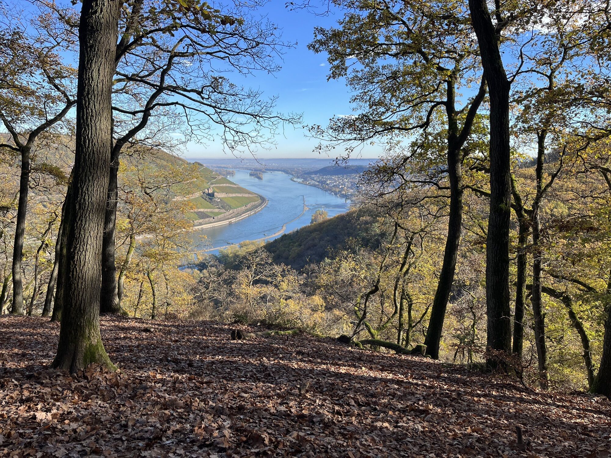
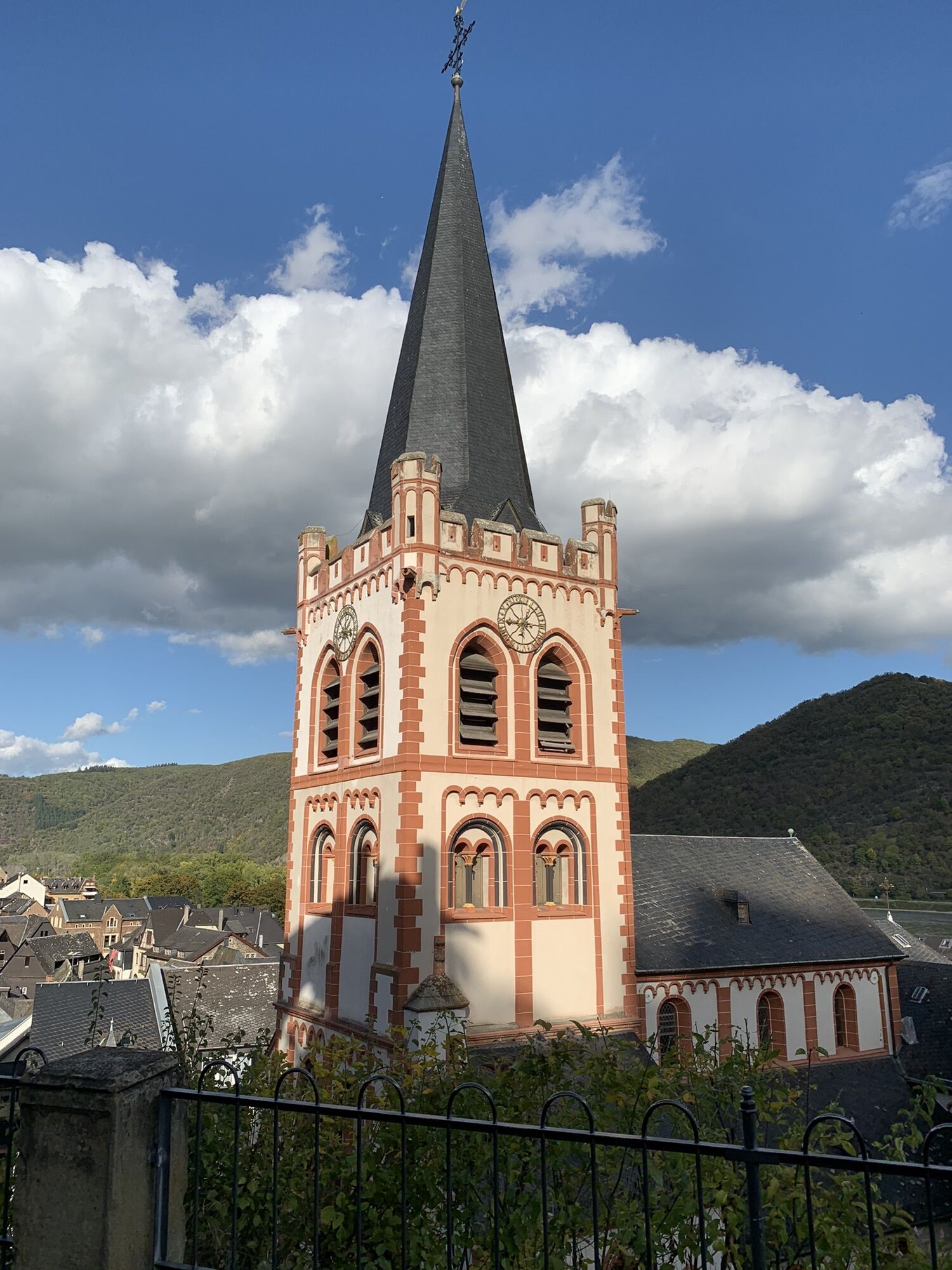
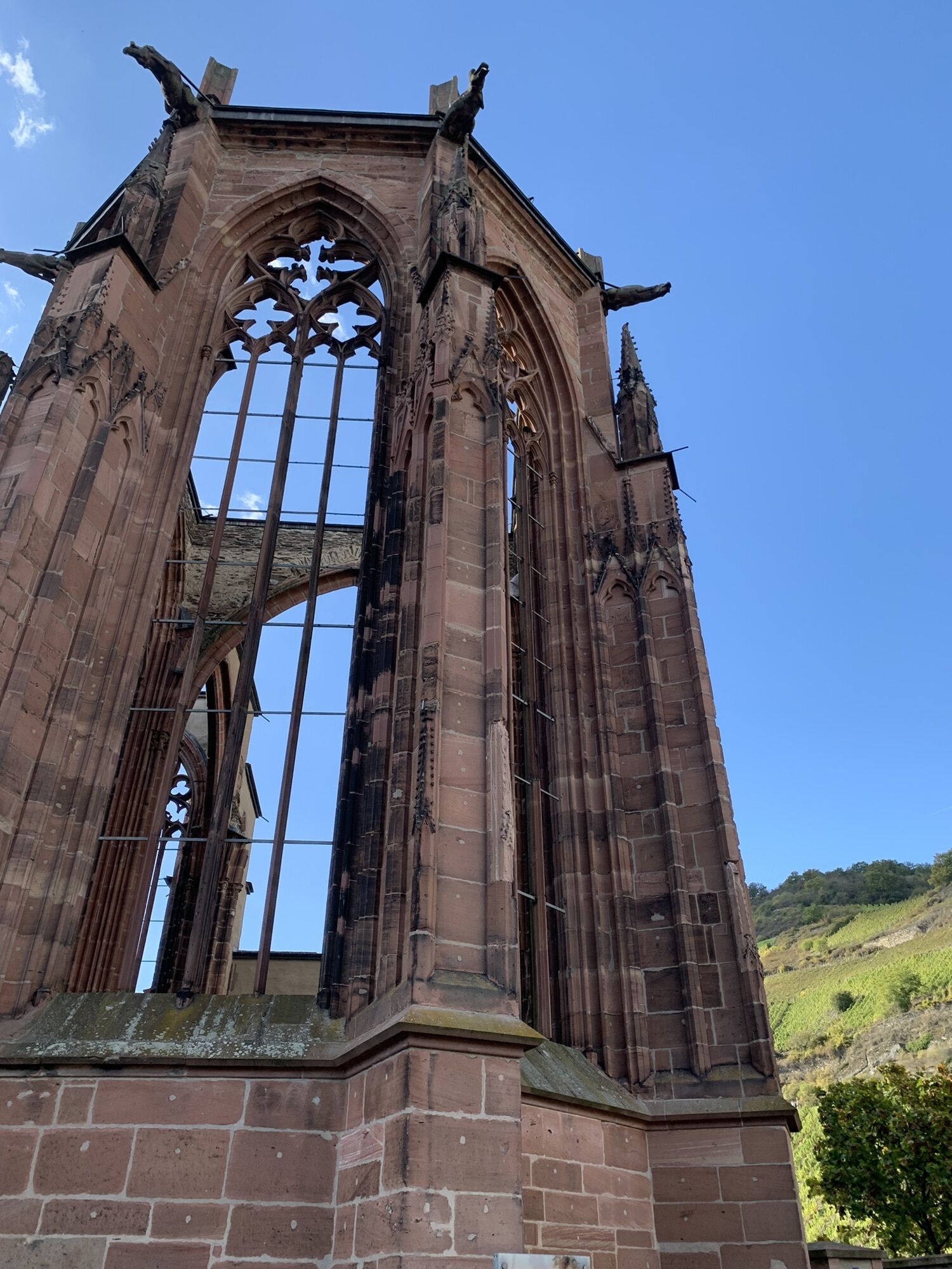
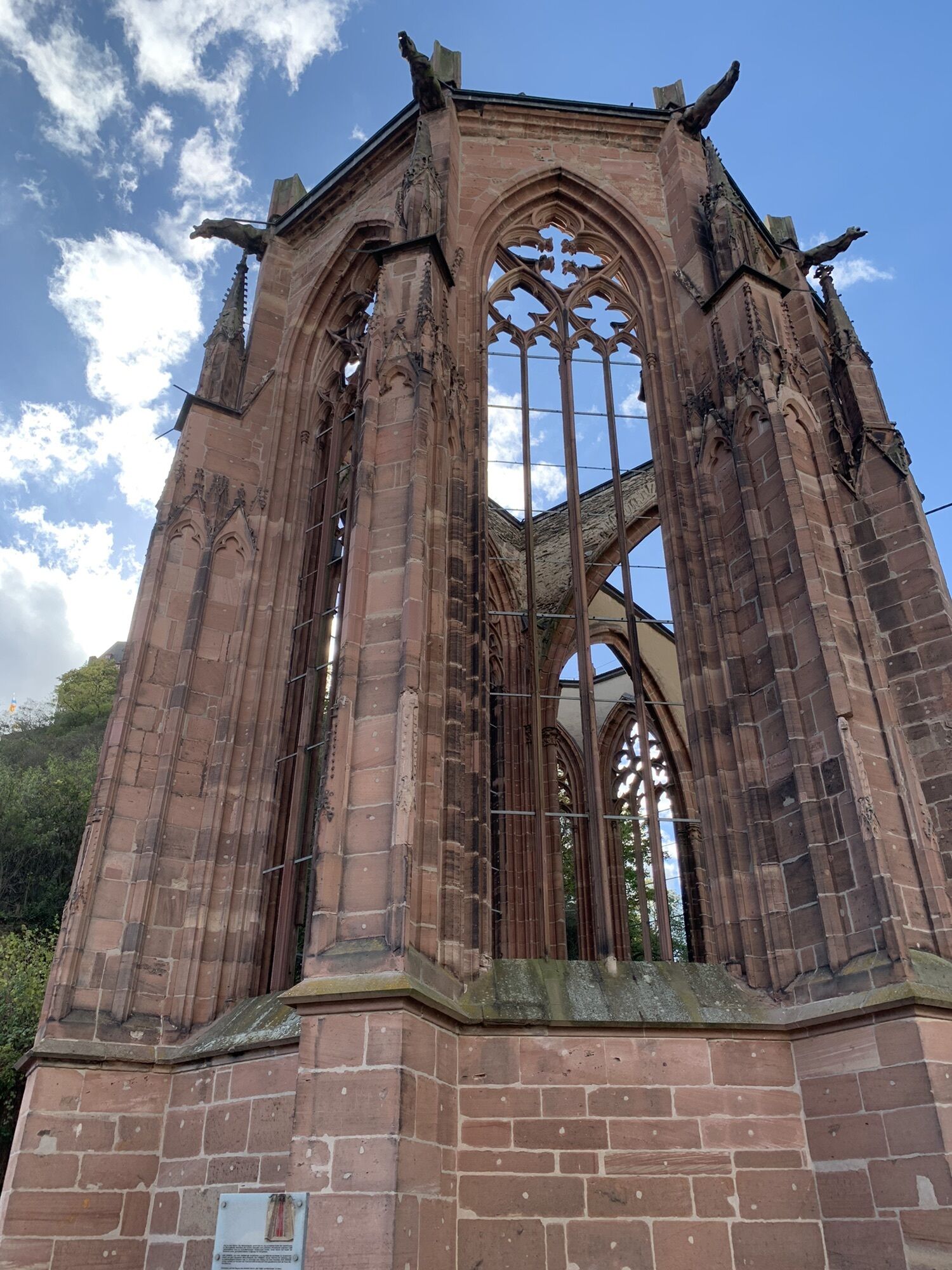
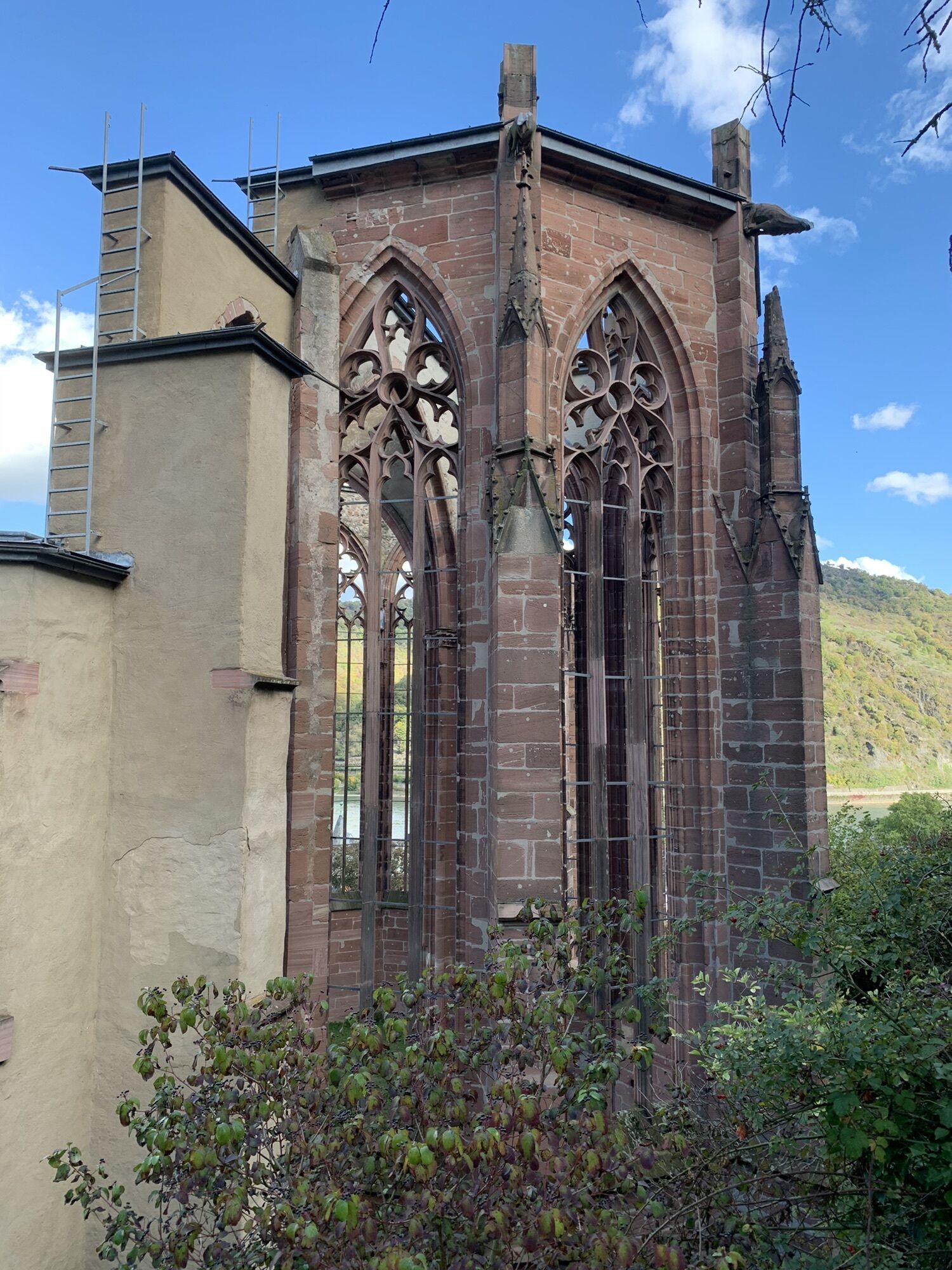
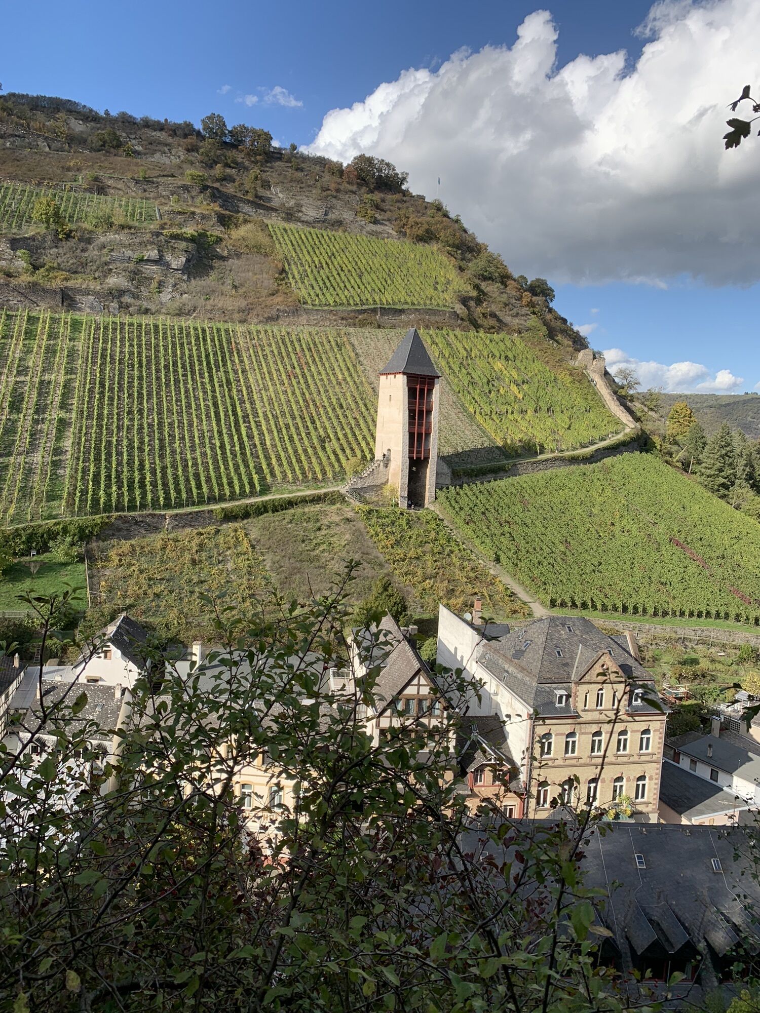
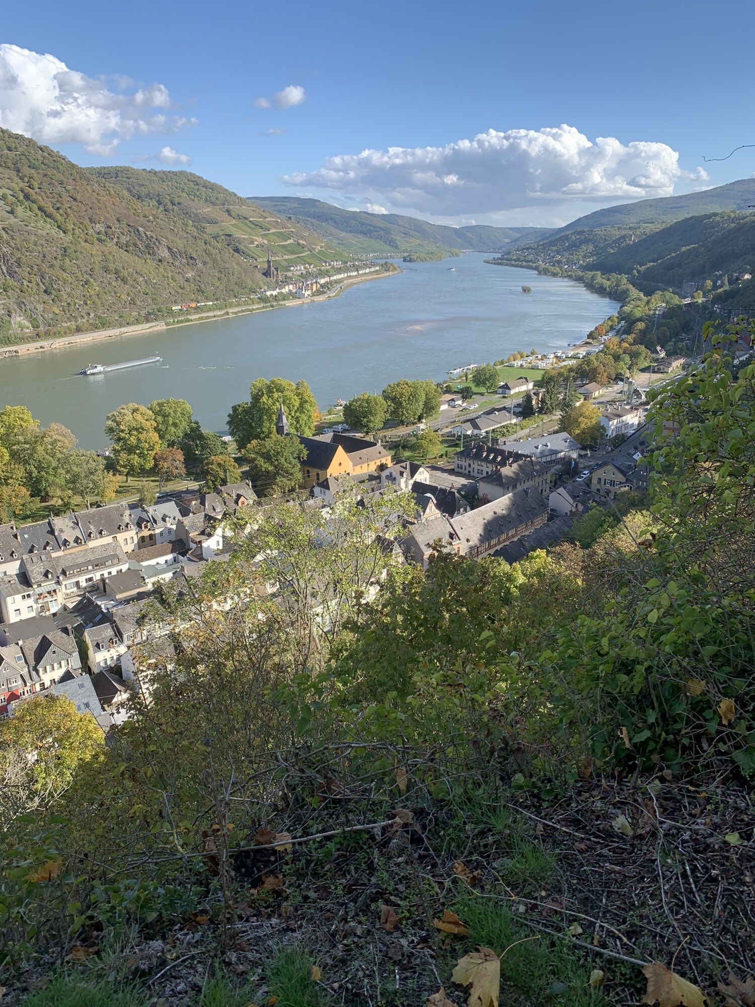
In June 2002, the unique cultural landscape of the Upper Middle Rhine Valley was inscribed on the UNESCO World Heritage List. It stretches from Rhine kilometre 526 to 593 over a length of 67 km along the Rhine's breakthrough valley through the Rhenish Slate Mountains between Bingen/Rüdesheim and Koblenz.On the occasion of the 20th anniversary, what could be more natural than to draw attention to this fillet piece of the Rhine Valley with a World Heritage Trail - not least, of course, with a view to the BUGA 2029.In sporting terms, 120 km of footpath and almost 4,000 hm lie between the start in Bingen at the mouth of the Nahe and the Laubach in Koblenz, directly below the Rittersturz, the place steeped in history that many associate with the conference of the same name in 1948, which was significant for the founding of a West German state.Impressive and variedThere are 40 castles and ruins to be seen, the ones on the left bank of the Rhine close up, so to speak, and the ones on the right bank with spectacular views and panoramas, especially of the legendary Loreley Rock or the Niederwald Monument right at the beginning. Old and impressive deciduous forests near Bingen, Boppard and Koblenz are just as worthy of mention as the numerous wine-growing areas through which the hike passes, including the Bopparder Hamm on the largest bend of the Rhine.Individually plannableSome people are more interested in sport, others would like to get to know the gastronomy and sights better - thanks to the convenient rail connections to the numerous Rhine towns, the stages can be planned individually, both as a long-distance tour and as a hike with a fixed location.Lace up your hiking boots - let's go!!!
120 kilometres of hiking through the unique and historic landscape of the UNESCO World Heritage Site flank 67 km of the course of the Rhine between the mouth of the Nahe near Bingen and the Deutsches Eck in Koblenz. The World Heritage Trail leads along the slopes of the Rhine and the incisive valleys through old deciduous trees, vineyards and, of course, rocky terrain. There is a lot of visual contact with the Rhine and always wonderful panoramas, if only because of the more than 40 castles and ruins that line the path, not to mention the view of the legendary Loreley or the largest loop of the Rhine near Boppard.Where it says Steig, there's Steig inside: in 8 suggested daily stages with varying demands on fitness and surefootedness, the hiker also manages 4000 m of altitude on this distance. Thanks to the convenient railway connection in the Rhine Valley, all daily stages can be planned variably and individually, both as a route and as a hike with a fixed location. With the €9 ticket, this is possible right now for little money.The certification of the World Heritage Trail "Upper Middle Rhine Valley" by the German Hiking Institute is aimed for autumn 2022.
Backpack, sturdy shoes and, if you like, the free Rheinland-Pfalz-Gold-App
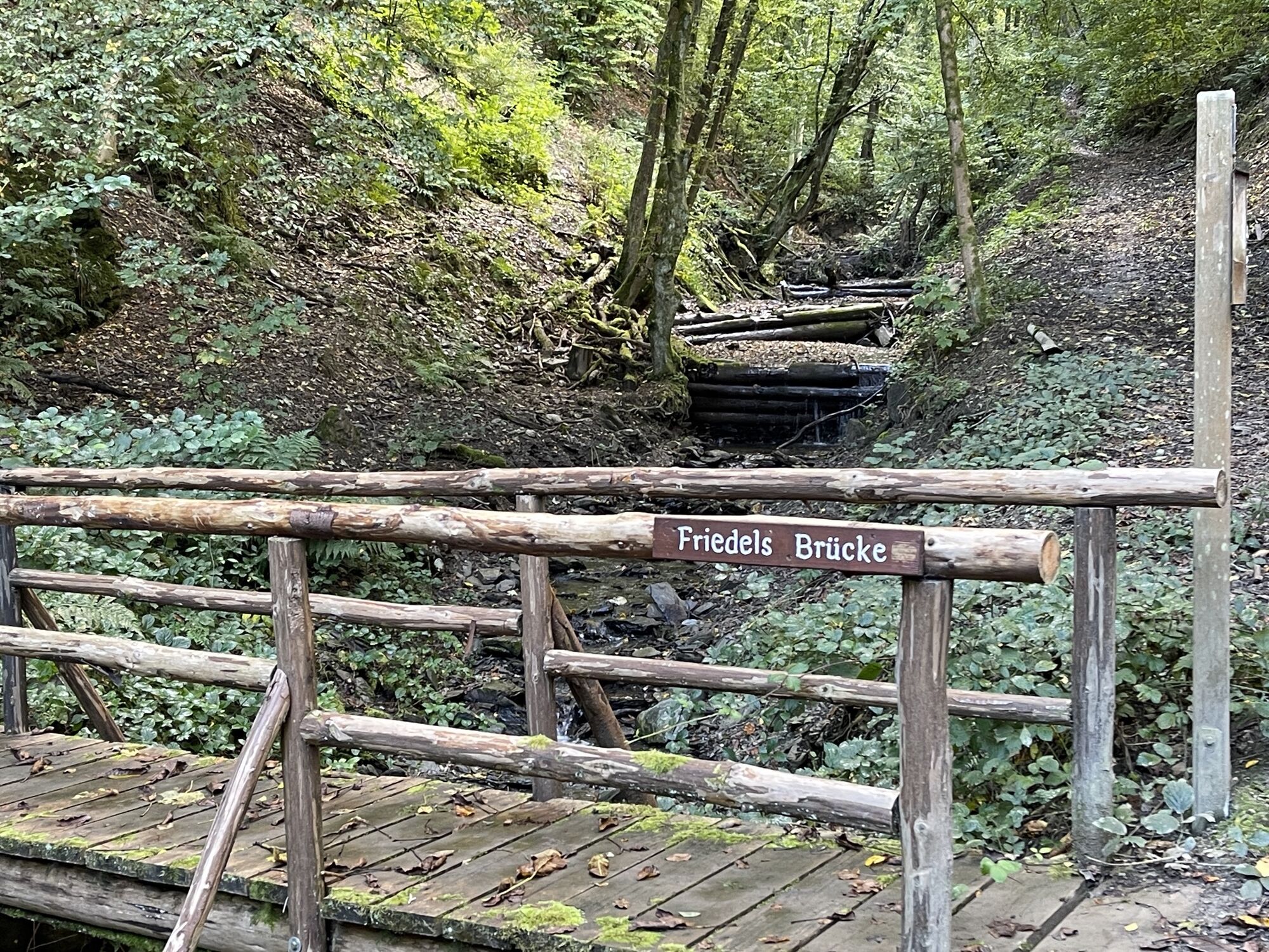
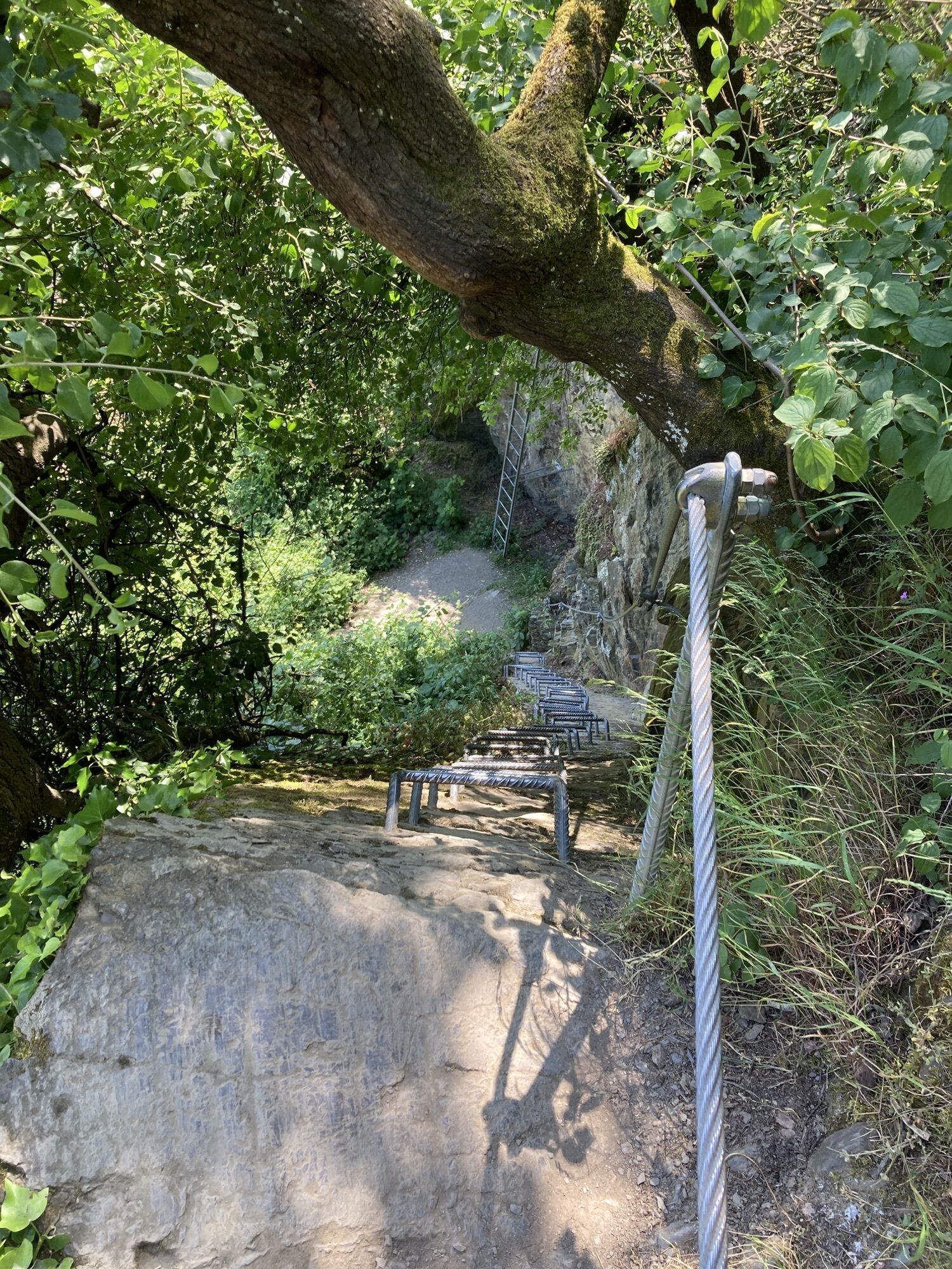
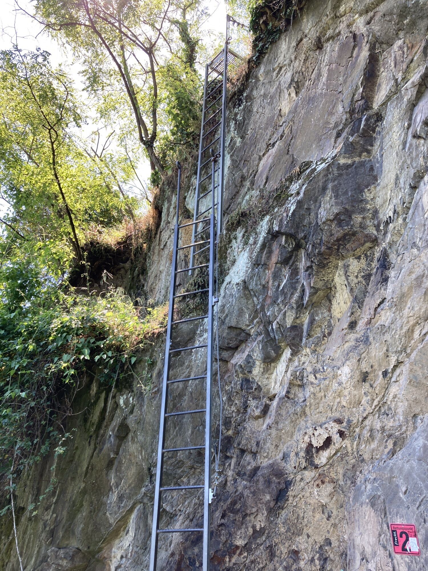
Again and again you will walk along narrow paths. Surefootedness is a prerequisite.
Autobahn:
Bingen: A 60 exit Bingen-Ost
Bacharach: A 61 exit Rheinböllen
St. Goar: A 61 exit Emmelshausen
Oberwesel: A 61 exit Laudert
Hirzenach: A 61 exit Emmelshausen
Boppard: A 61 exit Boppard-Buchholz
Rhens: A 61 exit Paffenheck
Koblenz: A 61, A 48
Bingen HbF - Techtingshausen: 4 min.
Trechtingshausen - Niederheimbach: 4 min.
Niederheimbach - Bacharach: 3 min.
Bacharach - Oberwesel: 4 min.
Oberwesel - St. Goar: 6 min.
St. Goar - Hirzenach: 4 min.
Hirzenach - Bad Salzig: 3 min.
Bad Salzig - Boppard: 4 min.
Boppard HbF - Spay: 5 min.
Spay - Rhens: 3 min.
Rhens - Koblenz HbF: 7 min.
Bingen HbF - Koblenz HbF: 48 min.
Bacharach: On the B9 Rhine bank
Oberwesel: B9 town wall and Rhine bank
St. Goar: On the B9 Rhine bank
Hirzenach: Rheinstraße
Boppard: Marienberg parking deck, Remigiusplatz Mühltal
As there is a railway station in almost every town, tours can be planned individually. For more information, see Arrival.
Webcams der Tour
Festung Ehrenbreitstein
Festung Ehrenbreitstein
Festung Ehrenbreitstein
Festung Ehrenbreitstein
Festung Ehrenbreitstein
Festung Ehrenbreitstein
Festung Ehrenbreitstein
KD Schiff RMS Goethe
Schönburg Oberwesel
Schönburg Oberwesel
Boosenburg
Boosenburg
Boosenburg
Boosenburg
Boosenburg
Boosenburg
Boosenburg
Bingen am Rhein - Papa Rhein
Beliebte Touren in der Nähe
- 4,7
Langhalsweg Osterspai
mittelWanderung 7,50 km - 5,0
Traumschleife Mittelrhein
schwerWanderung 14,7 km - 5,0
Kaub - Burg Herzogenstein - Spitznack - Hasenberg
schwerFernwanderweg 22,1 km - 5,0
Panoramaweg St. Goar
mittelWanderung 8,47 km - 5,0
Traumschleifchen Pfalzblick
leichtWanderung 5,68 km - 5,0
Traumschleife Oberes Baybachtal
schwerWanderung 15,6 km - 4,5
Boppard - Restaurant Cafe Vierseenblick - GedeonsEck
schwerWanderung 4,99 km - 4,3
Traumschleifchen Werlauer Pilz
leichtWanderung 5,60 km - 4,7
Schessels Beersche
mittelWanderung 5,44 km - 4,5
Traumschleife Elfenlay
schwerWanderung 11,4 km
Wandern & Tracking


Verpasse keine Angebote und Inspirationen für deinen nächsten Urlaub
Deine E-Mail-Adresse wurde in den Verteiler eingetragen.