
Route 'Hameau du Vivier' Provence-Alpes
mittel
Hol diese Tour auf dein Handy
Route 'Hameau du Vivier' Provence-Alpes
mittel
Wanderung
8,47
km
QR-Code scannen und Navigation in der bergfex App beginnen


Wandern & Tracking



Route 'Hameau du Vivier' Provence-Alpes
mittel
Distanz
8,47
km
Dauer
02:26
h
Aufstieg
413
hm
Seehöhe
1.345 -
1.734
m

Navigiere deine Tour in der App
Installiere die App kostenlos und behalte die Strecke im Blick, mit GPS-Navigation und Tracking.
Nutze bergfex jetzt in der App
Scanne den QR-Code mit deiner Kamera
Ist die App installiert, öffnet sich der Inhalt direkt. Hast du die App noch nicht, gelangst du zum kostenlosen Download.
Track-Download
Route 'Hameau du Vivier' Provence-Alpes
mittel
Wanderung
8,47
km
Wegverlauf
Savonette 1
(1.372 m)
Gondelstation
0,1 km
Le Sauze
(1.374 m)
Siedlung
0,2 km
Le Sauze
(1.374 m)
Siedlung
8,5 km
Wegverlauf
Route 'Hameau du Vivier' Provence-Alpes
mittel
Wanderung
8,47
km



Weginformationen
Wegverlauf
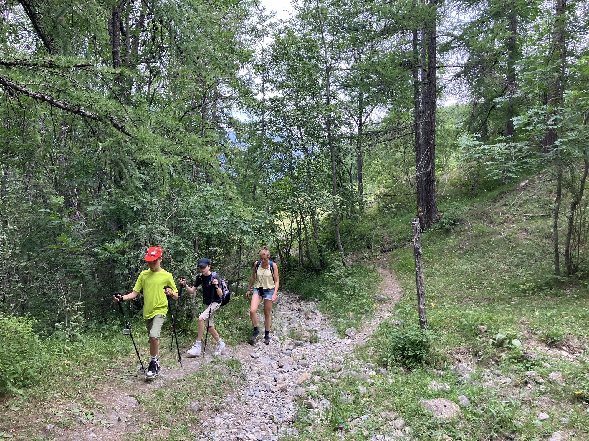
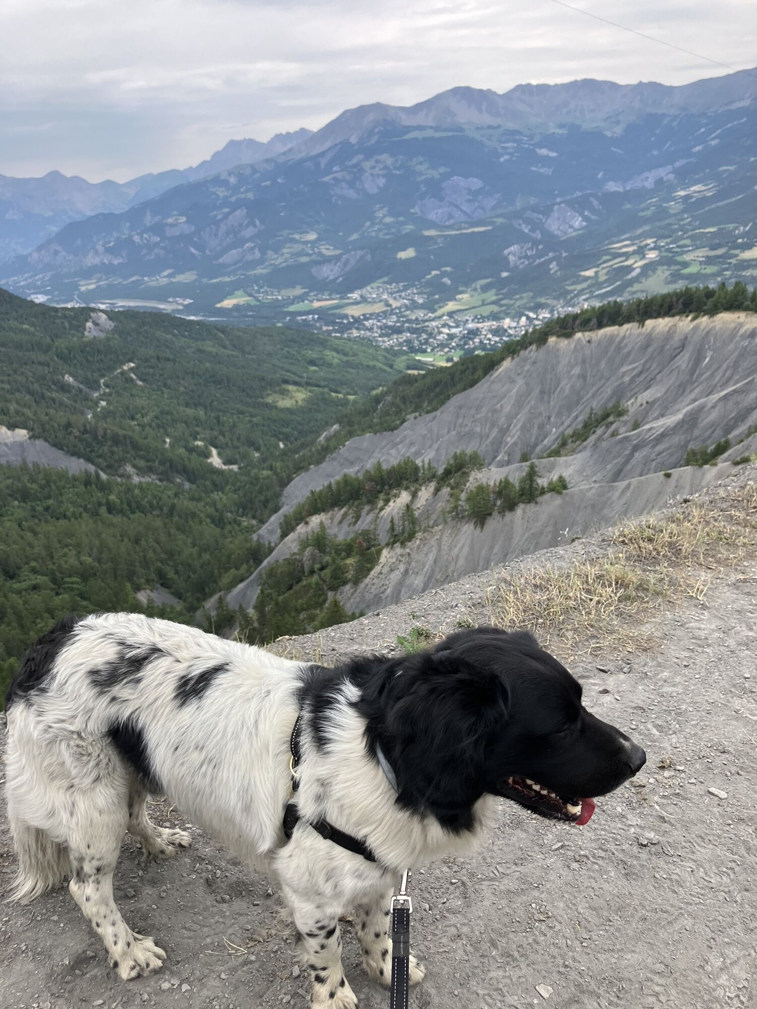
First walk to the ski lift area to start your hike. When you overview the ski slope, go to your left of the field, passing several hotels and then go up on the road on your right.
Be aware: after 5.6 km until 6 km of your route the path becomes hard to find, because of bad signing. From that point there are multiple paths. Stay going down hill in the bushy area finding the trees with the yellow sign.
Anreiseinformationen
Parken
Park in the first public parking space you see when you enter Sauze (1400). Then walk to the ski lift area to start your hike
Noch keine Bewertungen

Alle Webcams auf einer Karte
Installiere die App kostenlos und vergleiche die Live-Bilder mehrerer Orte, bevor du losgehst.
Nutze bergfex jetzt in der App
Scanne den QR-Code mit deiner Kamera
Ist die App installiert, öffnet sich der Inhalt direkt. Hast du die App noch nicht, gelangst du zum kostenlosen Download.
Beliebte Touren in der Nähe
- 5,0
eBike MNCA Etappe 2: Saint-Dalmas-le-Selvage - Saint-Etienne-de-Tinée
mittelMountainbike 43,2 km - 5,0
Col de la Cayolle - circuit des lacs, Frankrijk
mittelWanderung 10,8 km MTB FFC-Strecke Nr. 38: Col de la Moutière / Cime de la Bonette
schwerMountainbike 37,2 kmSchneeschuhwanderung Die Hütte von Braisse
schwerSchneeschuh 10,9 kmNr. 5: Plateau von Sestrière über Tronciès
mittelWanderung 8,41 kmMonviso-Tour
schwerRennrad 347,4 kmWandeling vanaf Halte 2000 naar meer van Terres Plaines (Jausiers, Provence-Alpes)
mittelWanderung 12,1 km001 TransVerdon Abschnitt - Vom Col d’Allos bis Val d’Allos Das Dorf
schwerMountainbike 12,0 kmsuper sauze - croix de l'alpe
schwerWanderung 13,0 kmLe Lauzet-Ubaye - Longe Feyssole - Le Miliasset - Refuge du Col d'Allos
schwerRennrad 71,6 km

Wandern & Tracking

Über 550.000 Tourenvorschläge, detailliertes Kartenmaterial und ein intuitiver Routenplaner machen die App zum Must-have für alle Naturbegeisterten.

Verpasse keine Angebote und Inspirationen für deinen nächsten Urlaub
Zum Newsletter anmelden
Fehler
Ein Fehler ist aufgetreten. Bitte versuche es erneut.Vielen Dank für deine Anmeldung
Deine E-Mail-Adresse wurde in den Verteiler eingetragen.
Touren in ganz Europa
Österreich Schweiz Deutschland Italien Slowenien Frankreich Niederlande Belgien Polen Liechtenstein Tschechien Slowakei Spanien Kroatien Bosnien und Herzegowina Luxemburg Andorra Portugal Island Vereinigtes Königreich Irland Griechenland Albanien Nordmazedonien Malta Norwegen Montenegro Moldau Kosovo Ungarn San Marino Rumänien Estland Lettland Belarus Zypern Litauen Serbien Bulgarien Monaco Dänemark Schweden Finnland


