






BTB - Bar To Bar - Tappa 1: Alba - Treiso
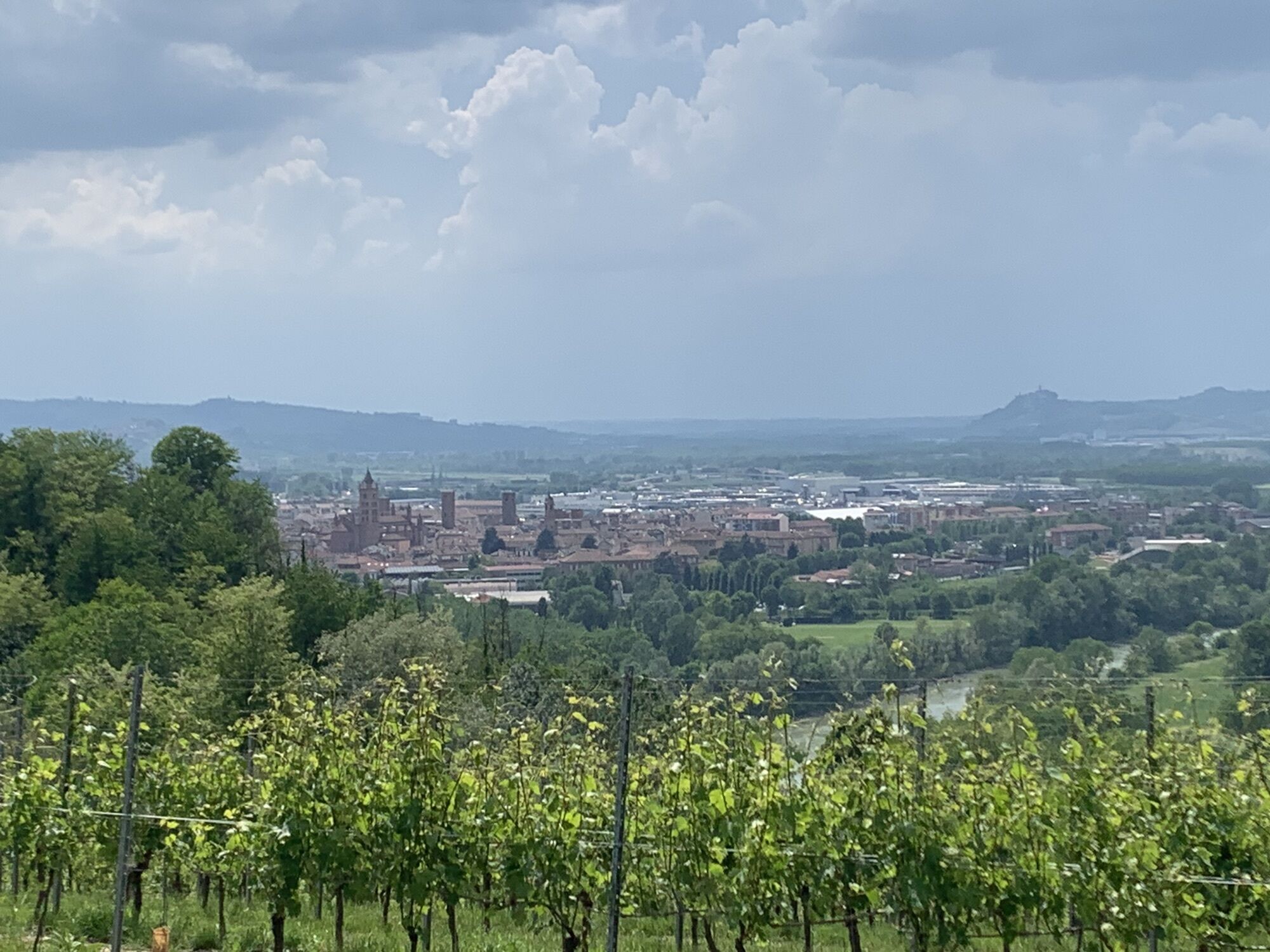
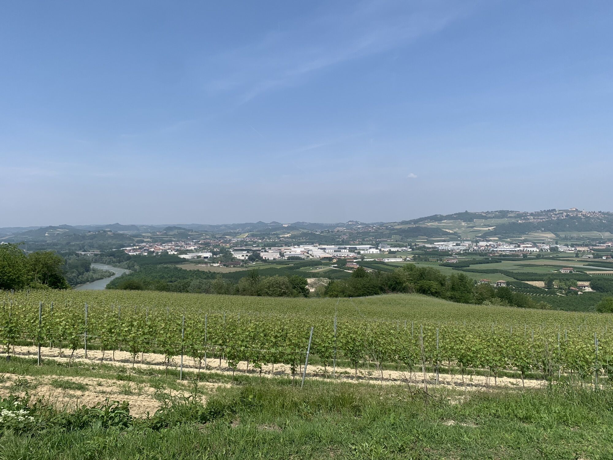
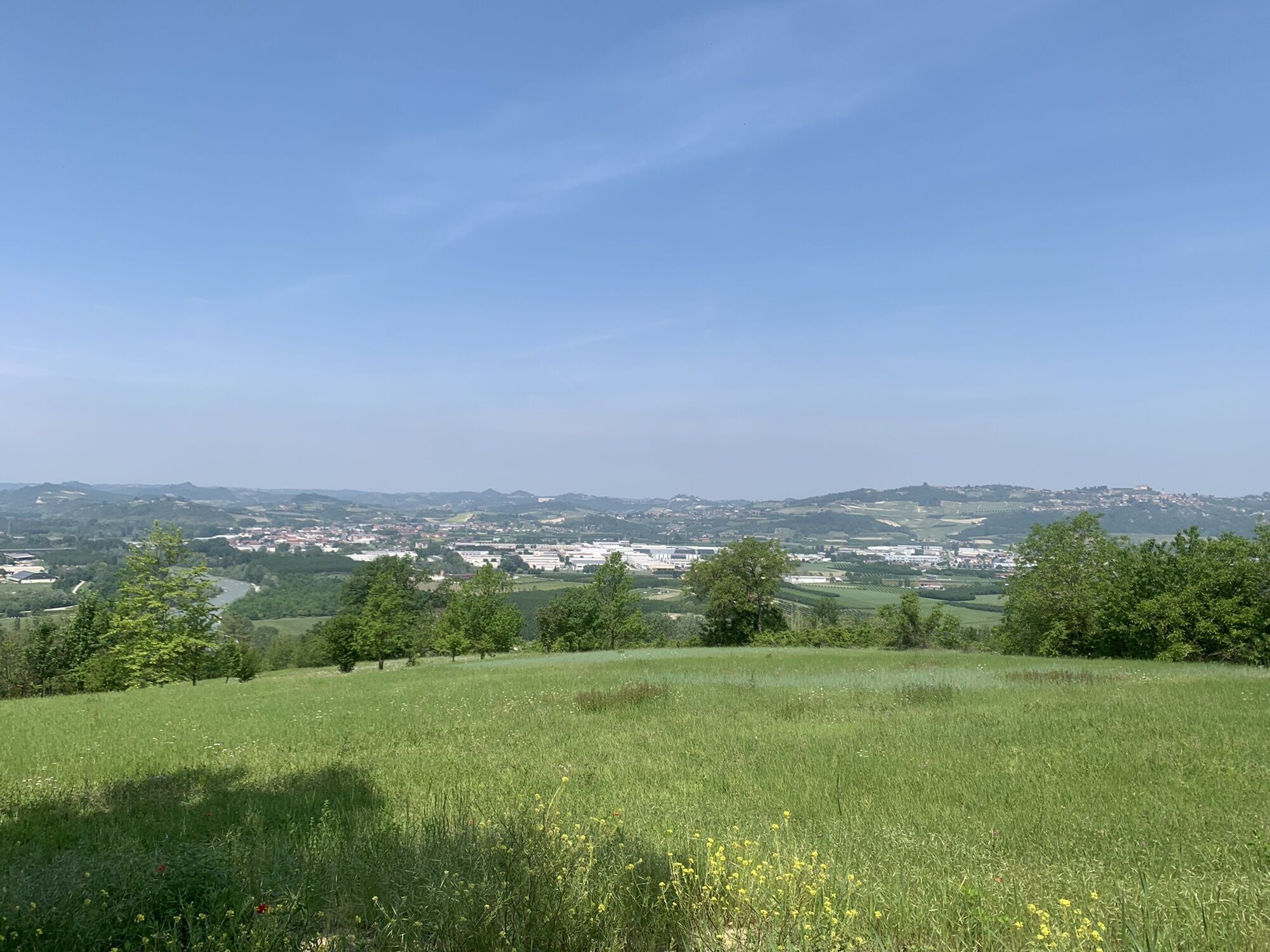
Wir starten vom historischen Zentrum von Alba in Richtung Barbaresco Langa, bereit, die Schönheit einer einzigartigen Landschaft zu genießen, Landzungen zu erklimmen und die Gipfel antiker Türme und Dörfer...
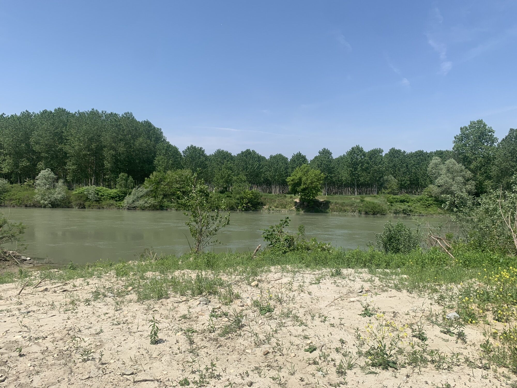
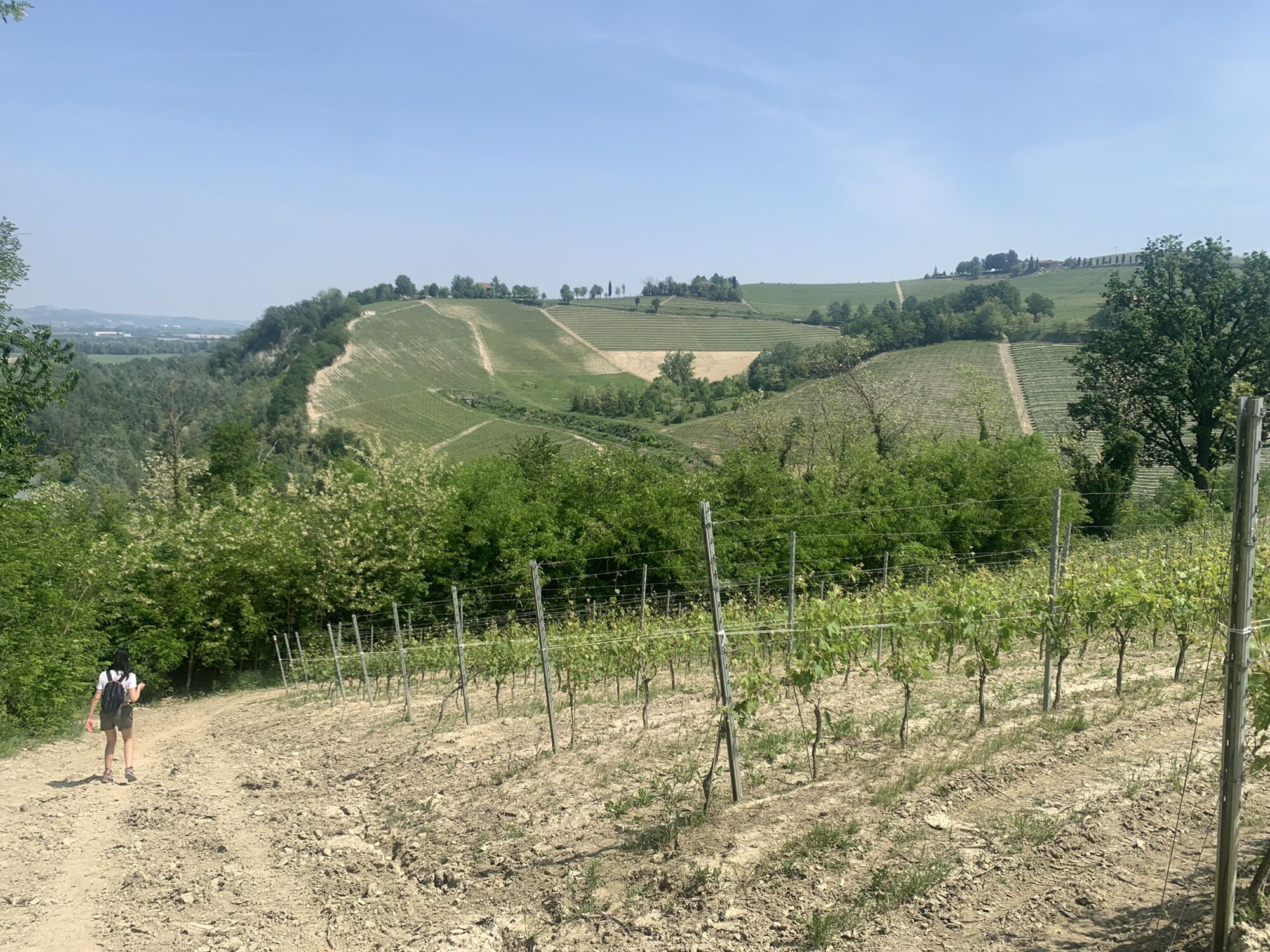
Wir starten vom historischen Zentrum von Alba in Richtung Barbaresco Langa, bereit, die Schönheit einer einzigartigen Landschaft zu genießen, Landzungen zu erklimmen und die Gipfel antiker Türme und Dörfer zu erobern. Alle sind eingetaucht in das Wunder, das die Natur dieser Ecke der Welt geschenkt hat: das Flussökosystem entlang des Tanaro, fruchtbarer Boden für den weißen Alba-Trüffel, Hügel so weit das Auge reicht, Festungen und Statis. Ein Blickfang auf Schritt und Tritt.

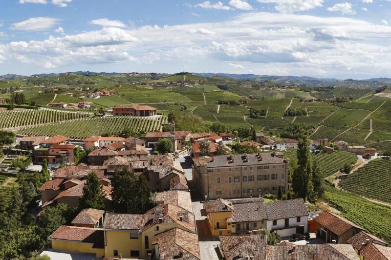

Close to the last house, the road takes an unpaved fork on the right, which turns around the property and takes us among the vineyards beyond the hill, to start the very steep descent which, through the wood, descends to the Seno dElvio torrent, almost where it flows into the Tanaro. A small bridge allows to cross to continue our route on flat ground between the river and the rock formations in an oasis of silence, perfumes and biodiversities. Inthese rock formations are gathered some of the most prized truffles of the Langhe, precisely thanks to their being isolated and therefore intact. The road runs along two signposts dedicated to Fenoglio before turning, after a few kilometres, to the right at the second signpost and reaching Cascina Pagliuzzi, which we will leave to our right to take a small bridge over the Rio Sordo and return shortly after to paved groundclose to Cascine Pora.
We continue beyond the small station of Barbaresco (it is now the winery of an Australian!) and go left along via della Stazione which climbs in the natural amphitheatre of Martinenga: memories of the ancient Romans (the emperor Pertinace was born in these areas) and the subsequent barbaric invasions echo in the place names and archaeological finds, while today the five crus of the hill (Pora, Fast, Asili, Martinenga, Rabaj) are among the most famous of the denomination.
You reach the ridge close to the small Chapel of San Teobaldo where the trail, to the left of the road, runs parallel to the same to reach the ancient village of Barbaresco, dominated by the exceptional medieval tower (the current one is of the 14th century, built by the Visconti, today renovated and open to visitors) and literally immersed in Nebbiolo vineyards, the prince of the vines of Langhe. A stroll around the village is a must, a tasting absolutely unmissable! We exit from the village from via Cavazza (next to the Regional Wine Shop in the small Confraternity of San Donato, today a lay temple of wine, a must-see site) to cross the provincial road and descend to the cosy hamlet of Montestefano (another celebrated cru, like the nearby Montefico, Cole and Ronchi): a sort of viewpoint towards the ancient village of Neive upper. Right at the height of the first house, turn left: steep descent on hairpin bends, on paved and then unpaved road, to the bottom of the valley, where you turn right among the poplars of the enchanting valley and, after a hundred metres, to the left to go along the railway and go beyond it on the concrete flyover. A few metres on is Cascina Principe from where the paved road resumes. Turn left as far as the crossroads with the provincial road.
We continue beyond the provincial road and take the climb towards Cascina Mont that we leave to the left: proceed always uphill toward the top of San Cristoforo among vineyards and dirt access roads, keeping to the left. Pass among the tanks of the aqueduct on paved ground to resume the unpaved path immediately after the last farmhouse and reach one of the most beautiful panoramic points of the area (there is also a big bench by the designer Chris Bangle!). From here, descend gently almost as far as the provincial road, turning however immediately left into a lane which then turns ninety degrees to the right to descend steeply to the valley on the provincial road. Here, turn left and then at the first junction (that of the Trezzo Tinella) right and passed the bridge take the lane to the right uphill.Keep on the left towards Cascina Castellizano, which stands on the top of the hill: you reach it by turning right almost at the top, at the last dirt access road. The paved ground resumes from Castellizzano and continues straight towards the Chapel of San Stefanetto (another pleasant and panoramic place), from where you turn left to reach the ancient settlement of the Bongiovanni (example of a small fortified town with houses arranged against the wall on both sides and at one time the gates barred the road at night) which is one of the two historic hamlets of Treiso (the other is the Crav, beyond the square of the church). Treiso is often mentioned by Fenoglio (here there was the first recruitment of partisans who escaped from Alba not to answer to the call of Sal) and it was also an inspirational place for Piero Masera, the first modern photographer of the Langhe (his famous Mattino sulla Langa was the poster of a Venice Biennial). Besides the well-known Barbaresco, the hill which from Treiso makes an arch as far as Madonna di Como is renowned among gourmets for the production of one of the most fragrant and persuasive Dolcetto wines of the Langhe.
In Alba: die Kirche von Maddalena, die Kathedrale von San Lorenzo, die Kirche von San Domenico, die Kirche von San Giuseppe, das städtische Museum für Archäologie und Naturwissenschaften „F. Eusebio‘, das Heiligtum der Madonna della Moretta. In Treiso gibt es die „Rocche dei Sette Fratelli“, eine durch die Erosion des Wassers entstandene Senke, die ein riesiges natürliches Amphitheater bildet: ein unerwartetes und eindrucksvolles Schauspiel, das Geschichten und Legenden inspiriert hat. Die Rocche sind eine der elf Etappen der Romantischen Straße der Langhe und des Roero, einer Route mit über hundert Kilometern Straßen und Wegen inmitten einer Landschaft von unwiderstehlichem Charme.

Beliebte Touren in der Nähe
- 5,0
Castagnito - Oratorio del Santo Spirito
mittelWanderung 14,7 km IL GRANDE CAMMINO DEL MONFERRATO - 6°TAPPA: CASTAGNOLE LANZE - CANELLI
schwerPilgerweg 21,4 kmIL GRANDE CAMMINO DEL MONFERRATO - 5°TAPPA: ASTI - CASTAGNOLE LANZE
schwerPilgerweg 21,8 kmEssenzen und Wissen
mittelWanderung 8,81 km- 5,0
Le Salite dei Campioni
schwerRennrad 114,2 km Via dei Santi | Tappa 1 San Martino Alfieri - Celle Enomondo Fraz. San Pancrazio
leichtWanderung 6,93 kmStraße der Heiligen | Variante 1B Kreuzung Rio Cravina – San Pancrazio Celle Enomondo
leichtWanderung 11,4 kmVia dei Santi | Variante 1A San Martino Alfieri - Ponte sul Tanaro
leichtWanderung 2,82 kmRadfahren zwischen den Rocche del Roero
mittelRennrad 83,4 kmBar To Bar in mountain bike
schwerFernradweg 68,6 km
Wandern & Tracking


Verpasse keine Angebote und Inspirationen für deinen nächsten Urlaub
Deine E-Mail-Adresse wurde in den Verteiler eingetragen.





