





Vääksy–Heinola Connecting Route (linear route)

Schwierigkeitsgrad: 2
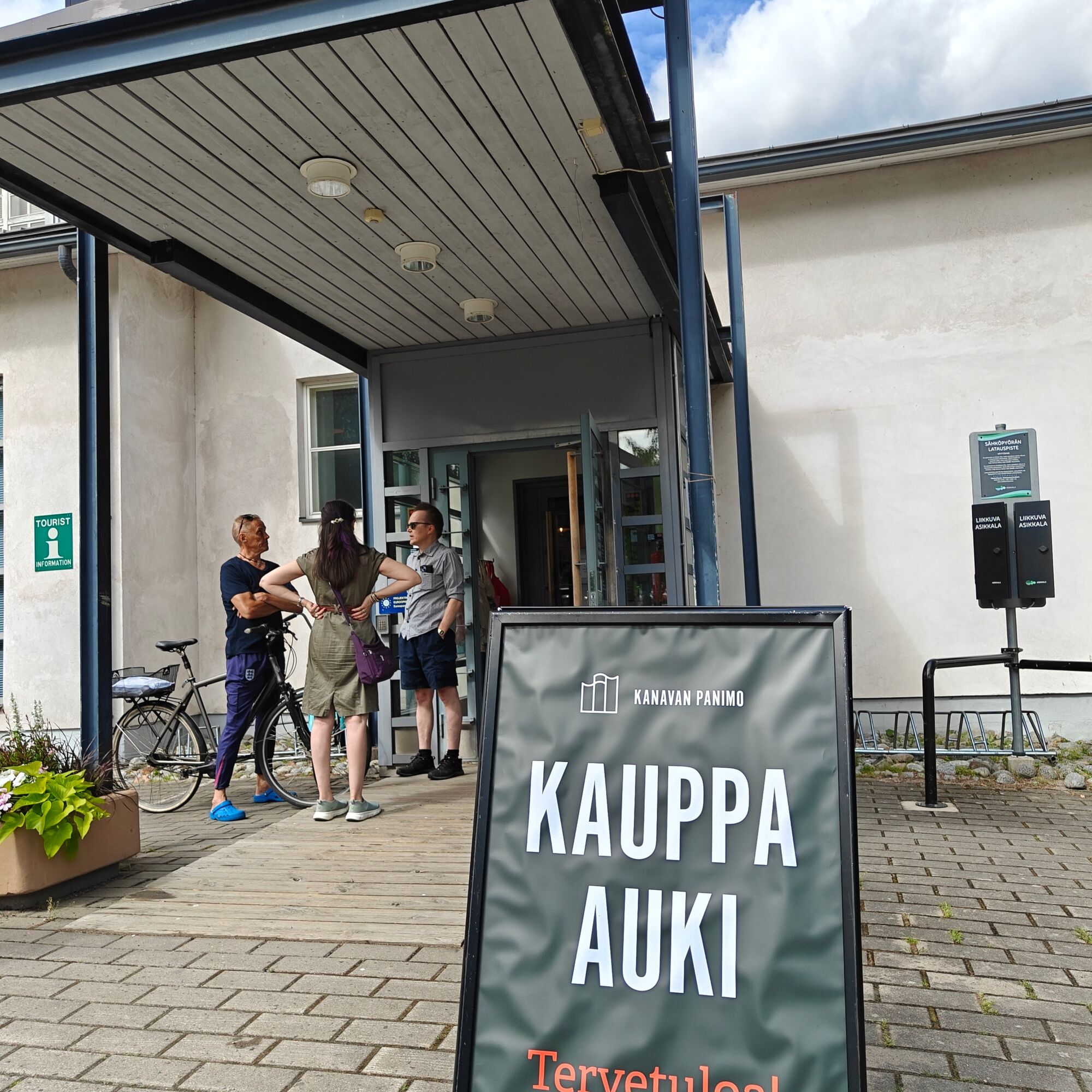
In Vääksy, the route starts at Päijännetalo, near the canal (Meijeritie 1). Just after the centre of Vääksy, the route climbs up onto the Second Salpausselkä Ridge, so be prepared for a long uphill section....
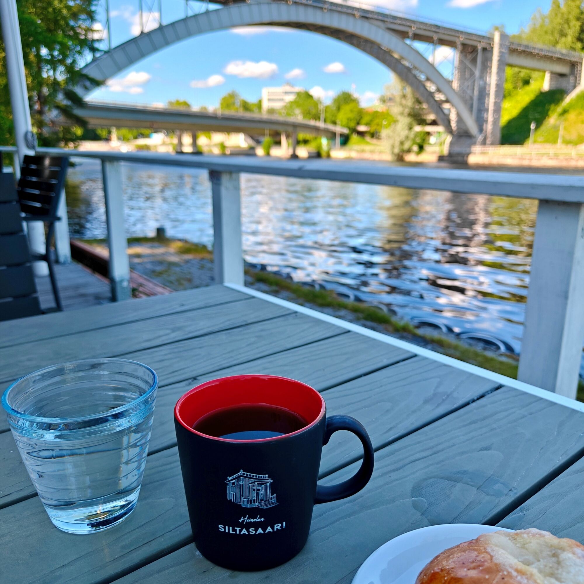
Highlights of the route include the Vääksy Canal area, with its beautiful scenery and wide range of services; the village scenery around Urajärvi; the services in the village of Vierumäki; and, at the Heinola end, the scenic Jyrängönvirta rapids, historic bridges and the atmospheric surroundings of Siltasaari Café.

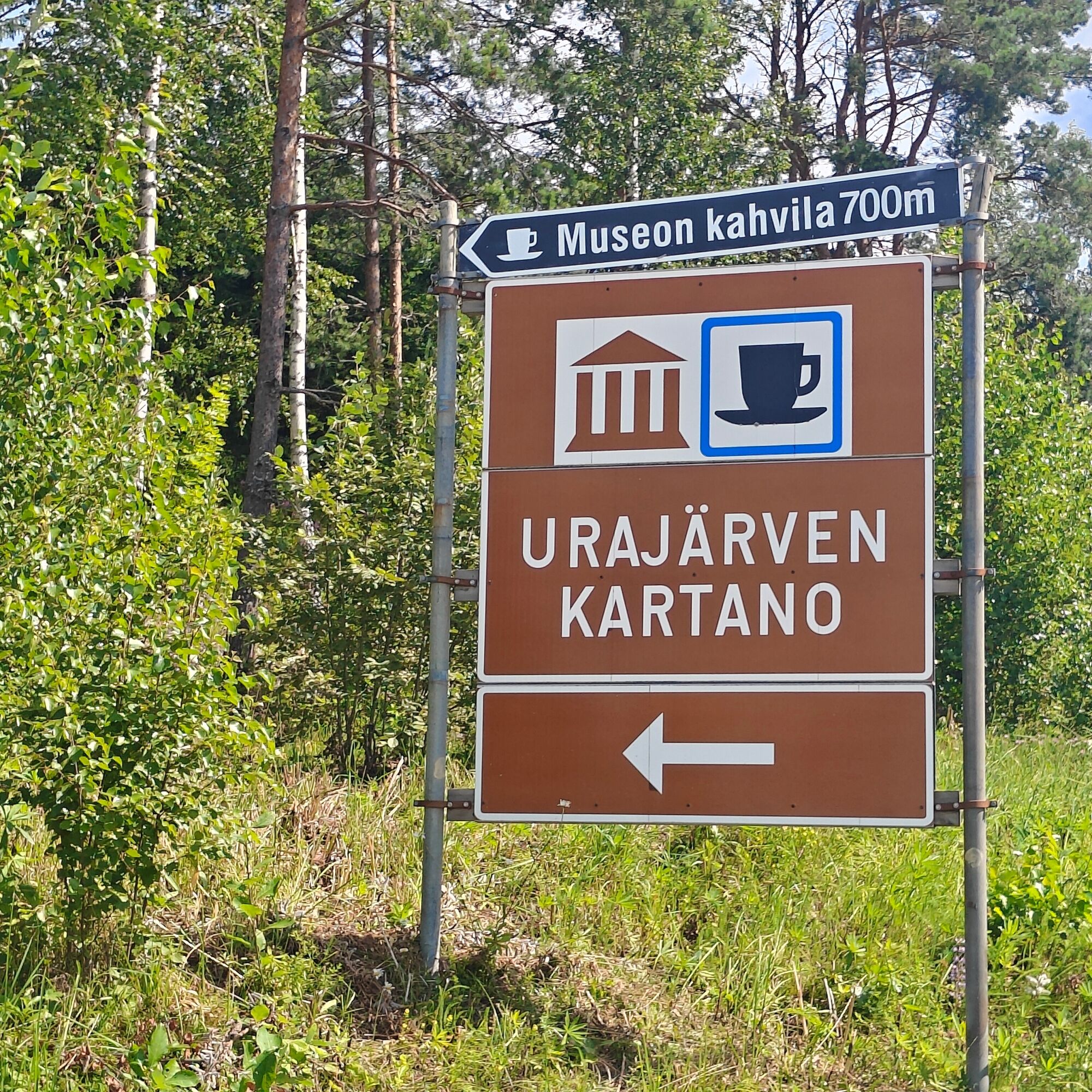
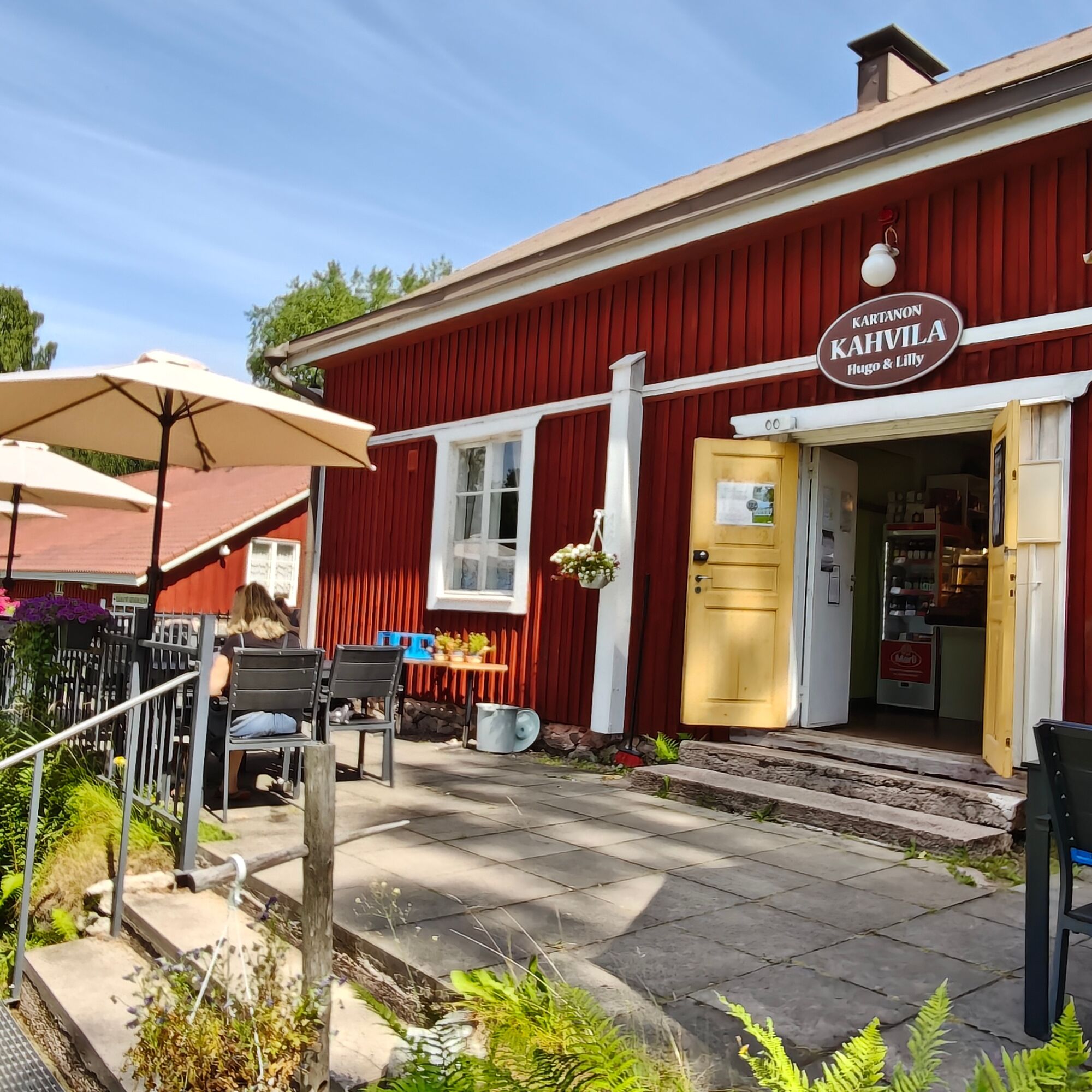
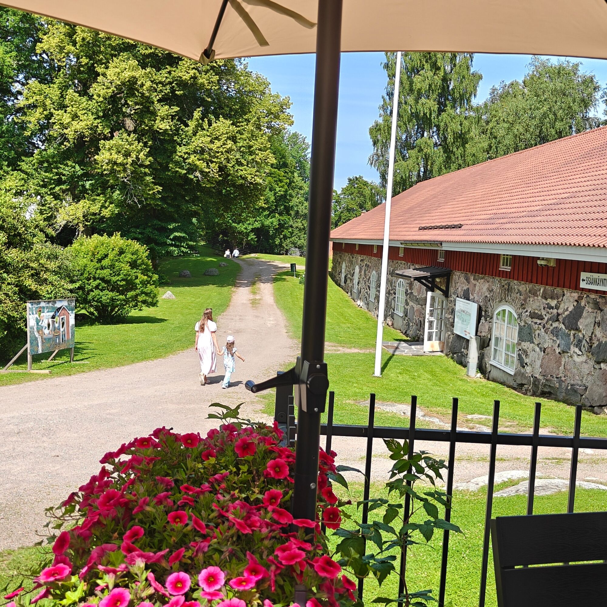
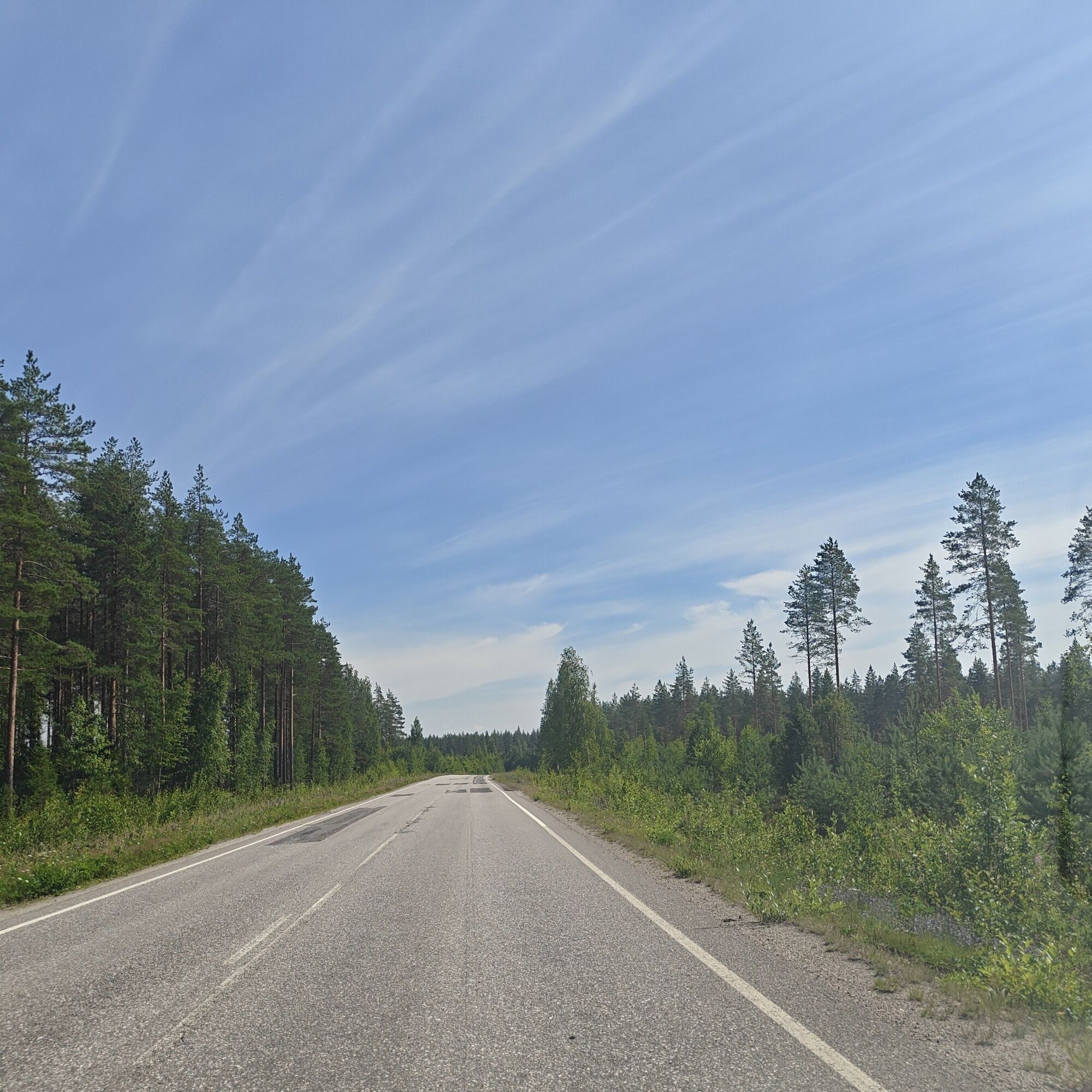
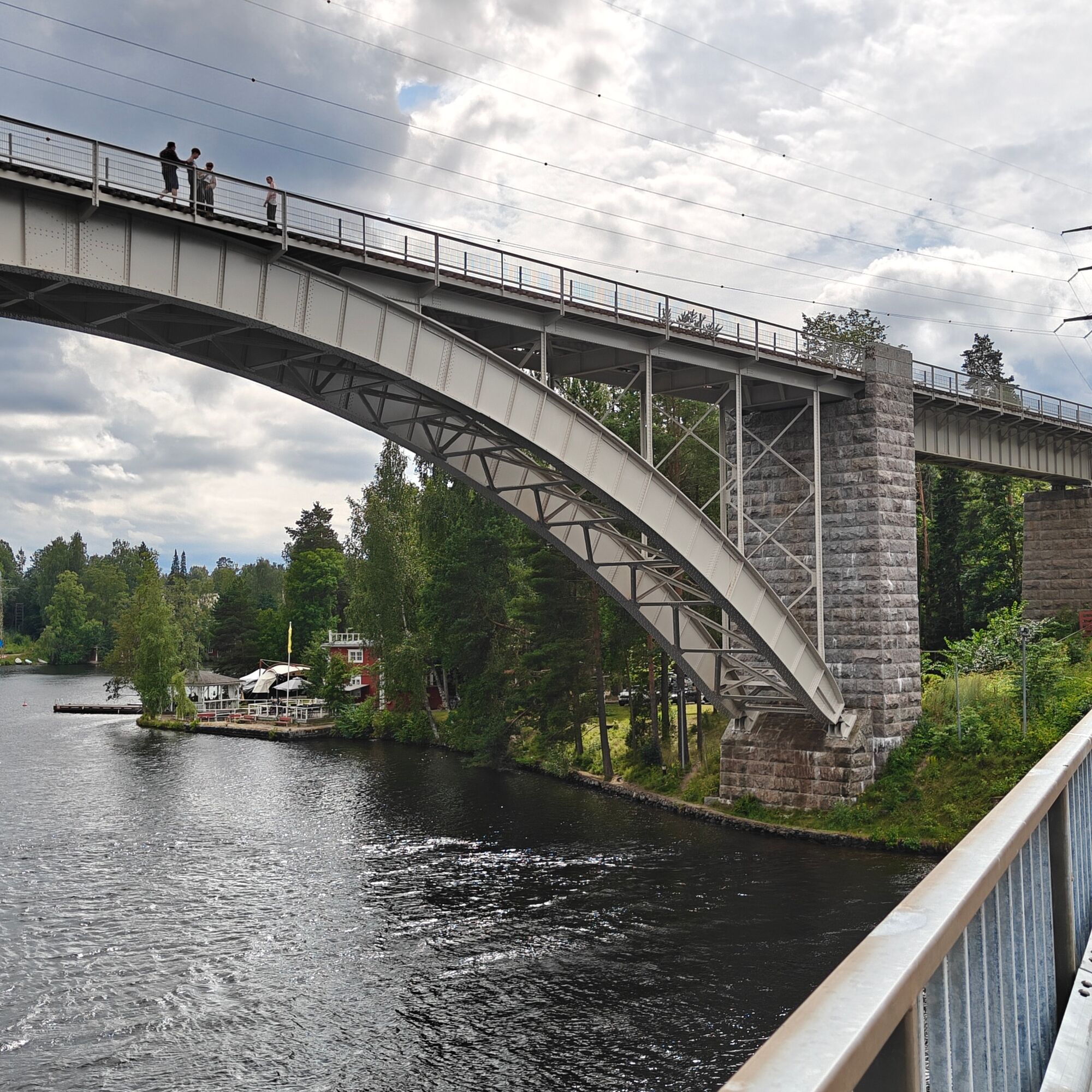
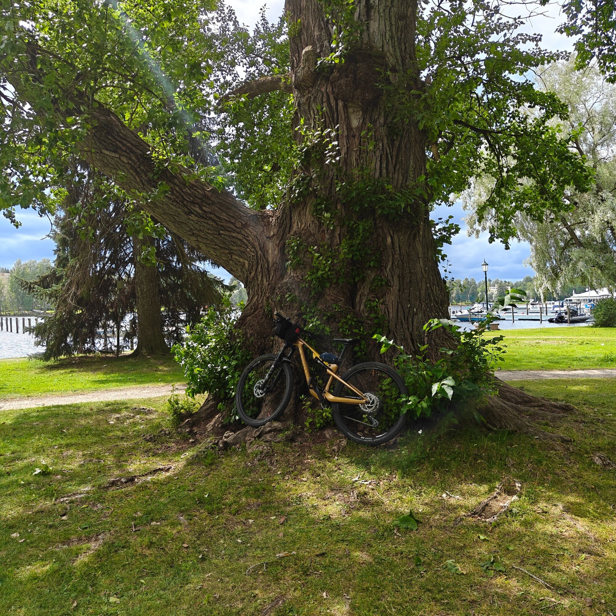

At this point, a cycle path is currently under construction, which may affect cycling conditions during summer 2026. As you approach the village of Urajärvi, the route descends into beautiful agricultural and village landscapes. If your bike is suitable for gravel roads, it is worth making a short detour to Urajärvi Manor and its summer café.
After Urajärvi, the route climbs back onto the Second Salpausselkä Ridge and continues through relatively flat, forested terrain. The road can be quite busy and the shoulder is narrow. Road 313 changes its name first to Heinolantie and then to Vääksyntie. When you reach Vierumäki, cross the motorway using the bridge.
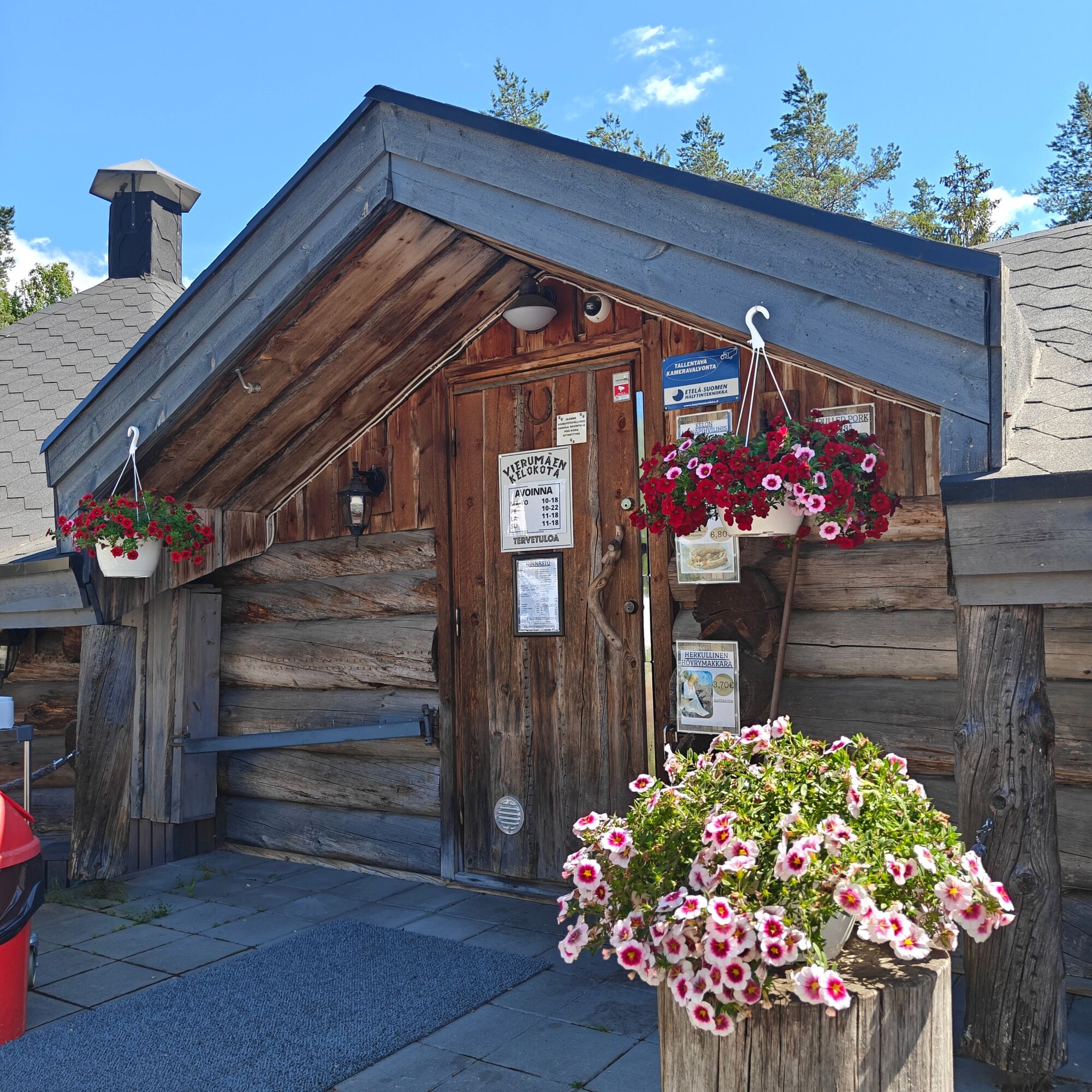
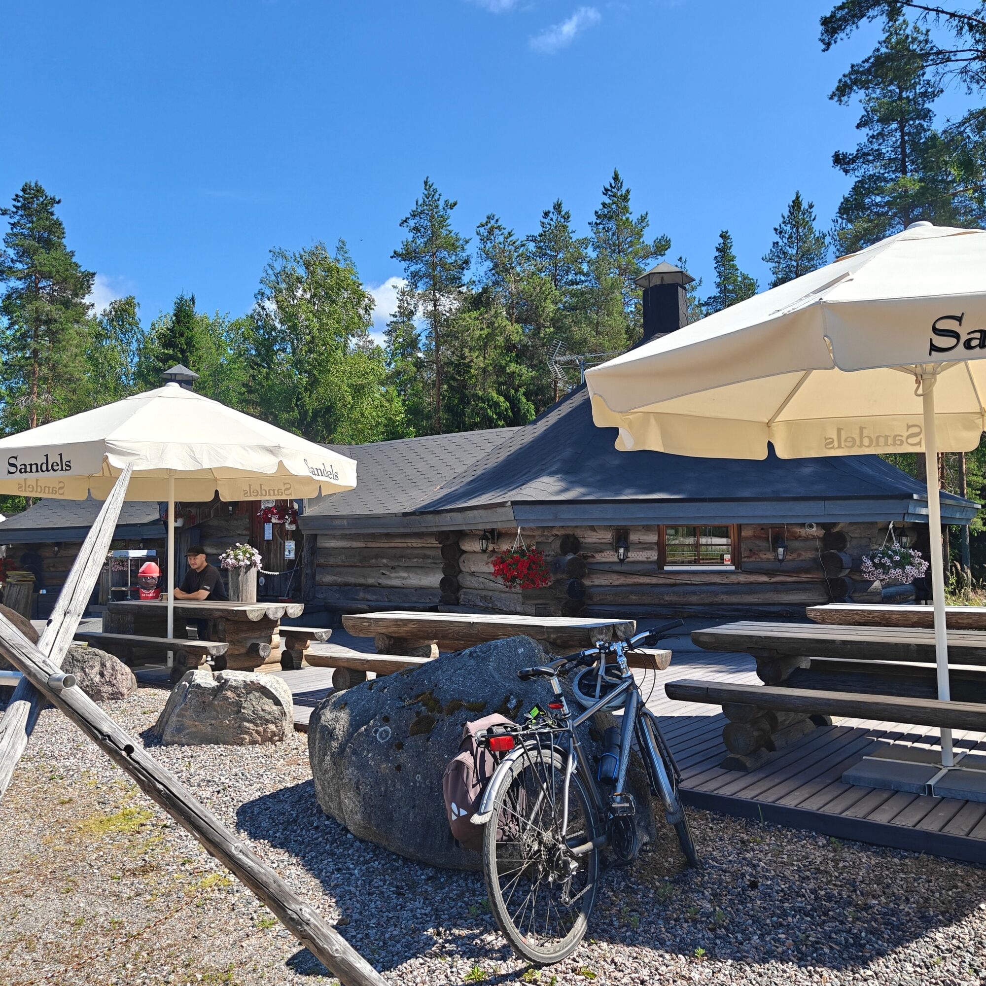
At this point, Matkakeidas is a good place for a break, while the cyclist-friendly Kelokota café is another popular coffee stop, with a shop nearby. From here, turn onto the cycle path following Road 140 (Vierumäenraitti) towards Heinola.
Around Myllykylä, there is a long descent into open agricultural landscapes. After the subsequent uphill section, the rest of the route continues through a built-up area towards Heinola. At Sinilähde, turn east towards the centre of Heinola. The route ends at Siltasaari.
After a coffee break in Heinola, you can continue your journey. Alternatively, from Vierumäki you can turn towards Lahti and follow Road 140 and then Mäkeläntie, or continue from Vierumäki towards Vuolenkoski.
Ja
Road bike or gravel bike. Helmet.
PLEASE NOTE! During summer 2026, roadworks on the cycle path between Vesivehmaa and Urajärvi may affect cycling conditions. The cycle path is scheduled to be completed during 2026.
Between Urajärvi and Vierumäenkangas, the route follows the side of the road.
In Vääksy, follow the signs for Päijännetalo and the canal/tourist information centre. In Heinola, follow the road signs for Siltasaari.
Both Vääksy and Heinola are accessible by bus. Check the latest timetables at lsl.fi.
During the summer season, you can travel in one direction by cruise boat. Check the timetables at Päijänne-Risteily Hilden.
Free parking is available at both ends of the route.
2
If your bike is suitable for gravel roads, consider making a detour to Vesivehmaa Airfield, followed by Urajärvi Manor and its summer café (700 m off the route along a gravel road).
Vierumäki Sports Institute is a short detour from the route and offers a wide range of sports and leisure activities, as well as accommodation and restaurants.
In Heinola, it is worth exploring the town and its attractions, for example by cycling the Heinolan Heilahdus loop (17 km).
Allow some extra time at both the starting and finishing points of the route, as there is plenty to see and do in both Vääksy and Heinola. On a beautiful summer day, the Vääksy Canal area and Heinola’s Rantapuisto Park and harbour are full of life.
Beliebte Touren in der Nähe
Pitkäjärven-Weg, Lapakisto, Lahti
mittelWanderung 5,55 kmKorvenlampi-Route, Heinola
mittelWanderung 13,8 kmNaturpfad Salonsaari, Asikkala
leichtThemenweg 3,21 kmUmrundung von Varjansaari, Asikkala
leichtKajak / Kanu 8,80 kmHevossaaren Umrundung, Heinola
leichtKajak / Kanu 9,78 kmLahti – Urajärvi 65 km
mittelRennrad 70,9 kmKoskensaari-Wanderweg, Heinola
leichtThemenweg 2,66 kmNaturpfad Hotel Tallukka, Asikkala
leichtWanderung 0,70 kmVääksy-Pasolanharju 12 km
leichtRadfahren 12,9 kmUmrundung von Salonsaari, Asikkala
mittelKajak / Kanu 25,6 km
Wandern & Tracking


Verpasse keine Angebote und Inspirationen für deinen nächsten Urlaub
Deine E-Mail-Adresse wurde in den Verteiler eingetragen.





