





Skaftung's archipelago's northwestern areas
Skaftung's archipelago is a perfect destination, when you want to enjoy lovely nature. Canoe, kayack or a small boat, whatever you choose, you will get memories for a long time from this trip. The wonderful...
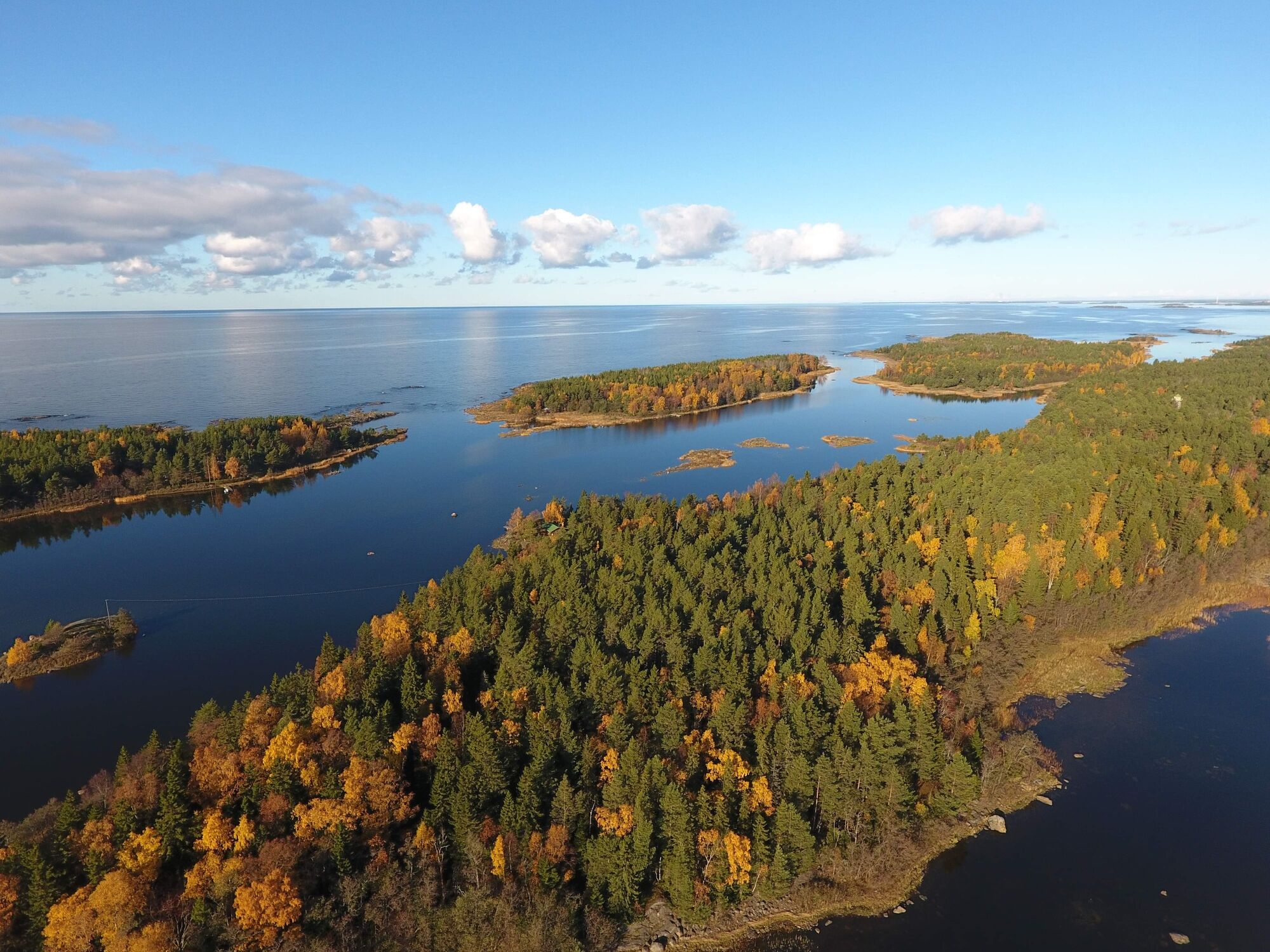
Skaftung's archipelago is a perfect destination, when you want to enjoy lovely nature. Canoe, kayack or a small boat, whatever you choose, you will get memories for a long time from this trip. The wonderful coast, the fragrance of the sea and serenity can be found in the archipelago. In this route you will see what Skaftung's northwestern area offers you. The starting point is at Högklubben's former pilot station. During the trip you will travel around Rotklobben, Ljusgrund and Furuskäret, for example.
The animals in this area are really active. It is common to see moose or deer swimming from an island to another. Some have seen even seals at Kumlet's southern cape. Otters are aso common animals in the area. It is important not to disturb birds during their nesting season.
Some local history is also included along the route.
(text: Inga-Lill Till)

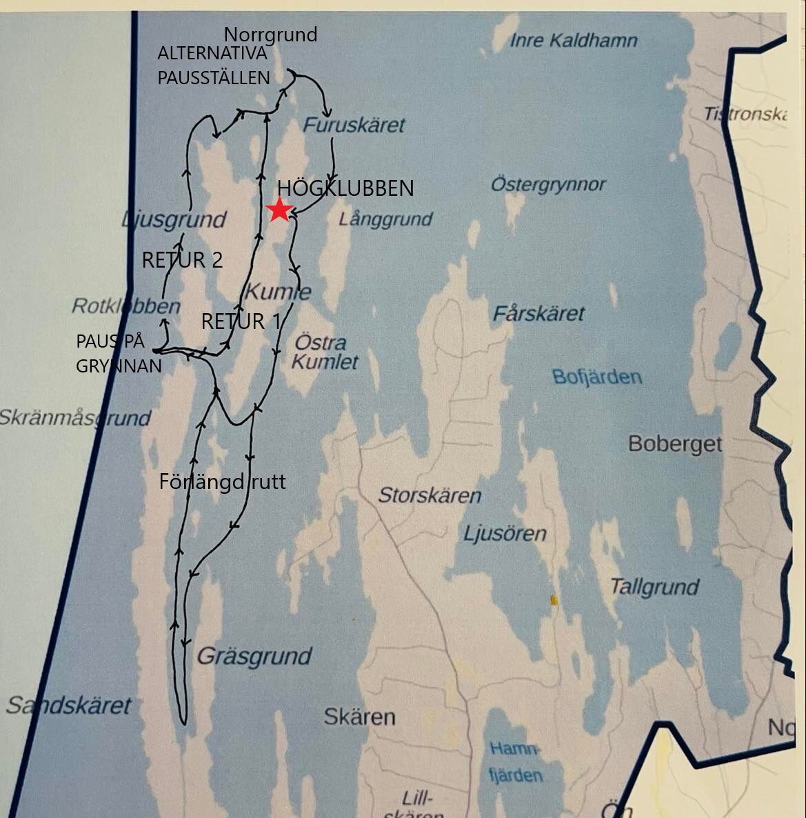


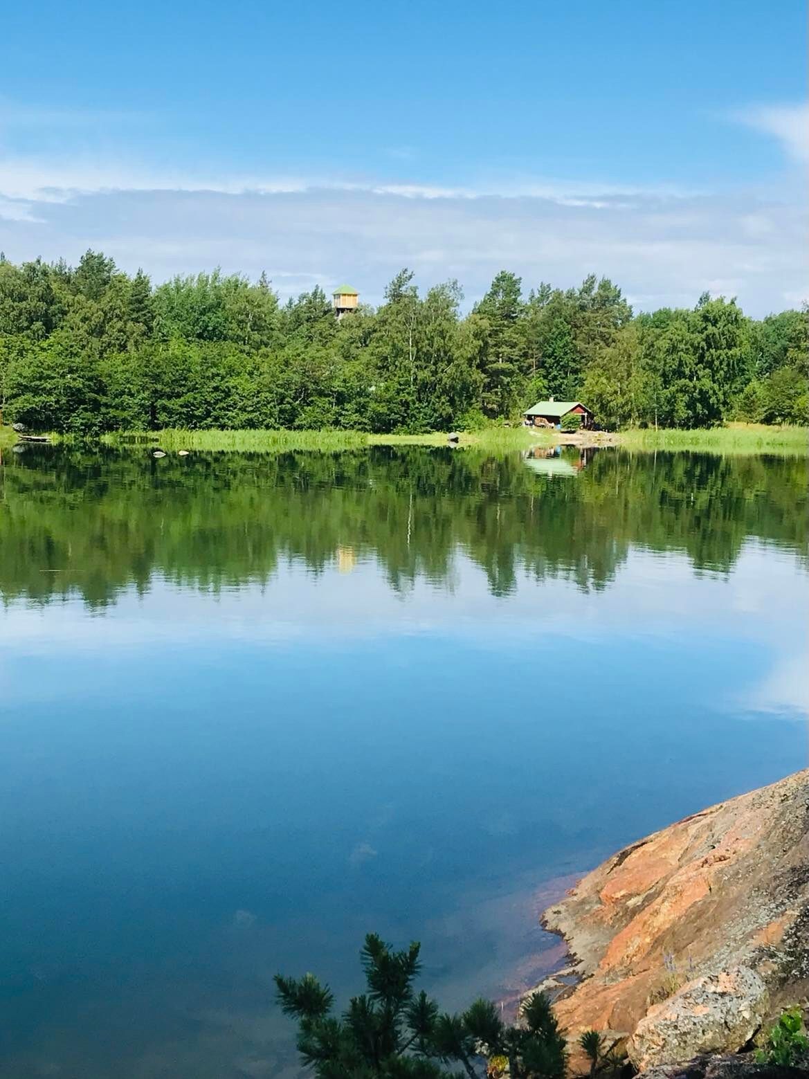
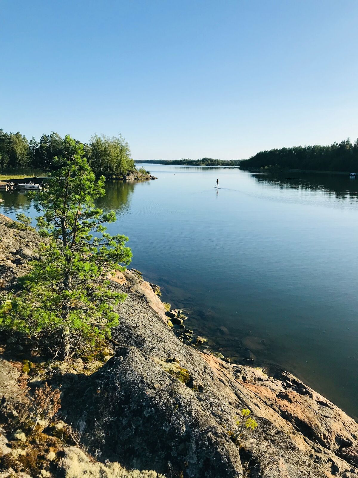
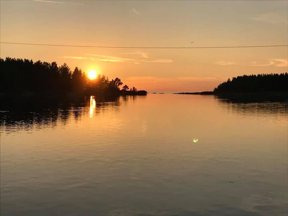
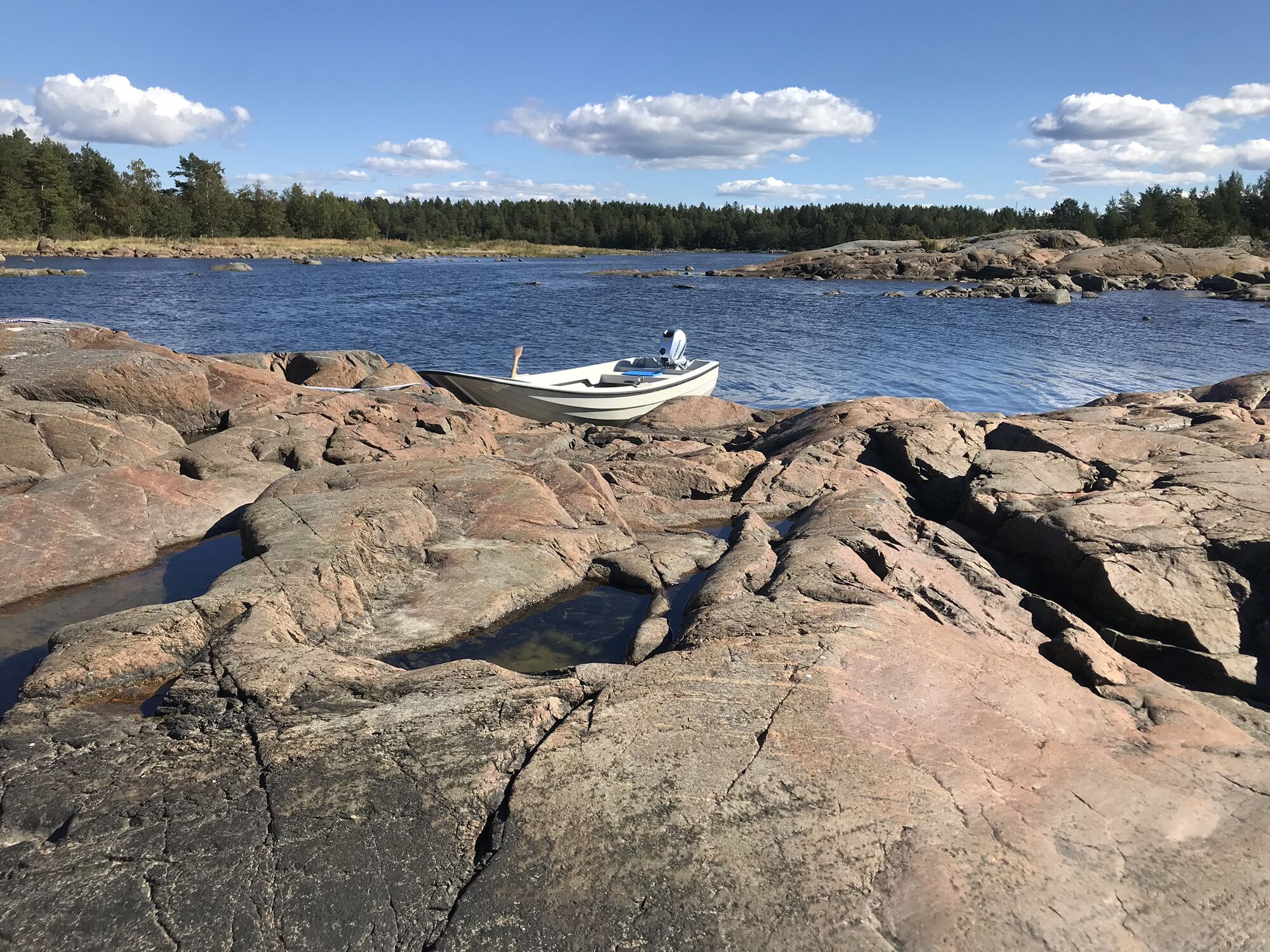
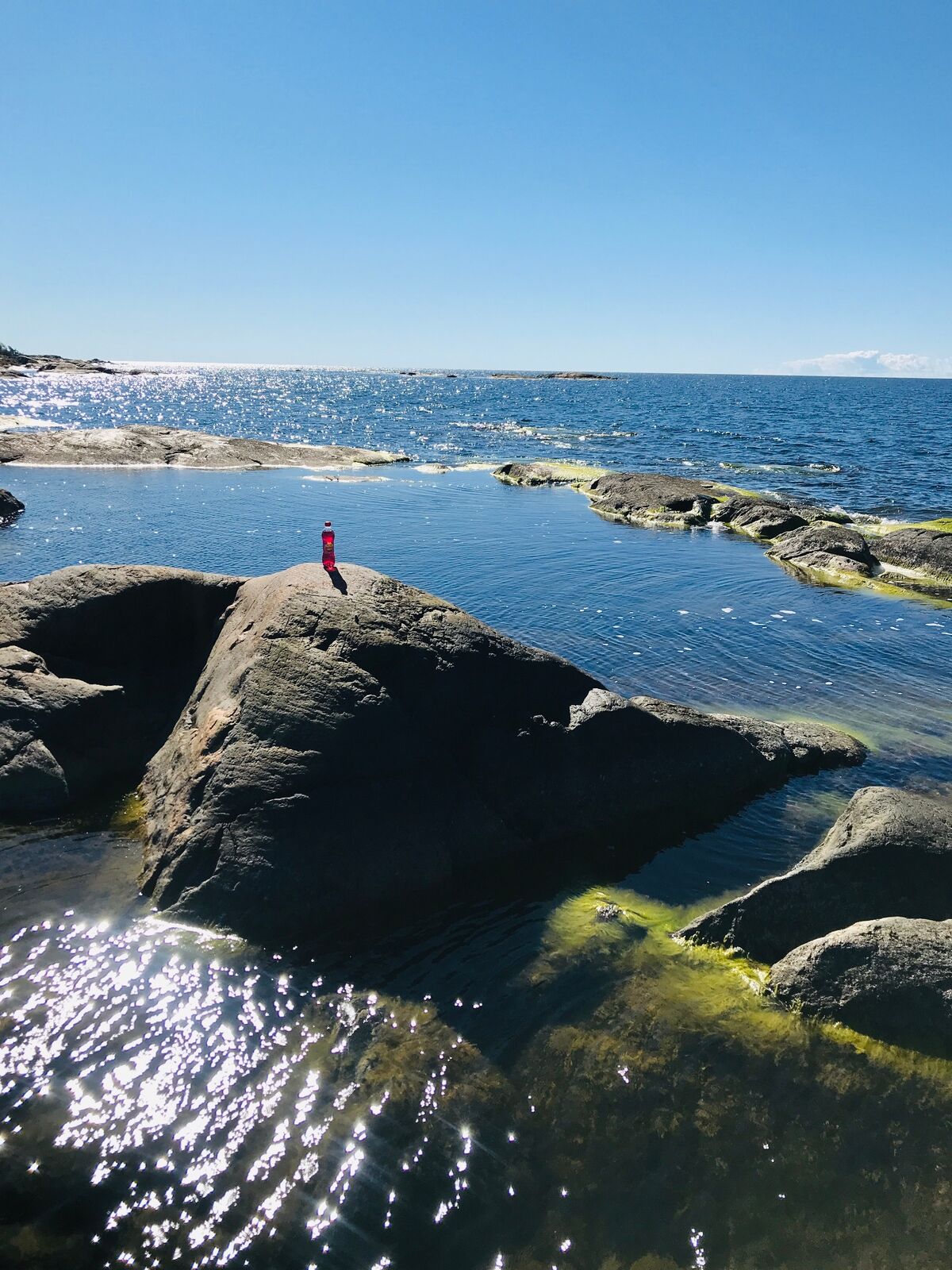
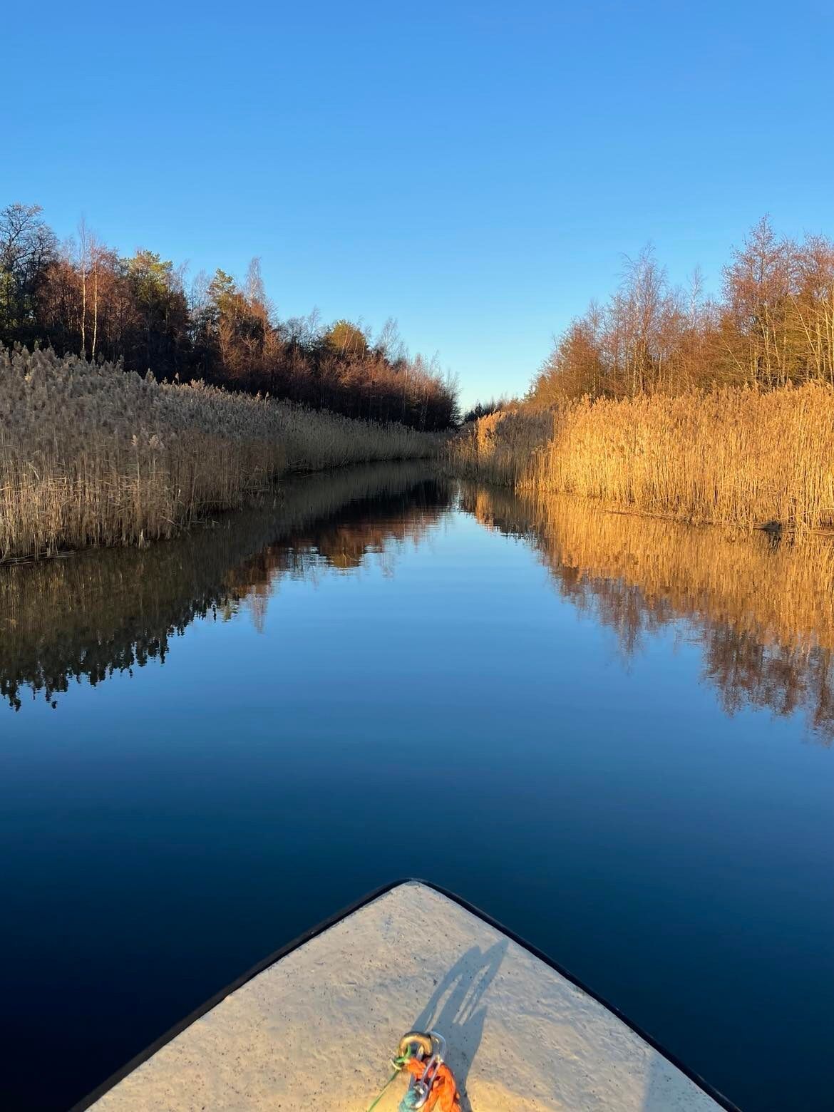


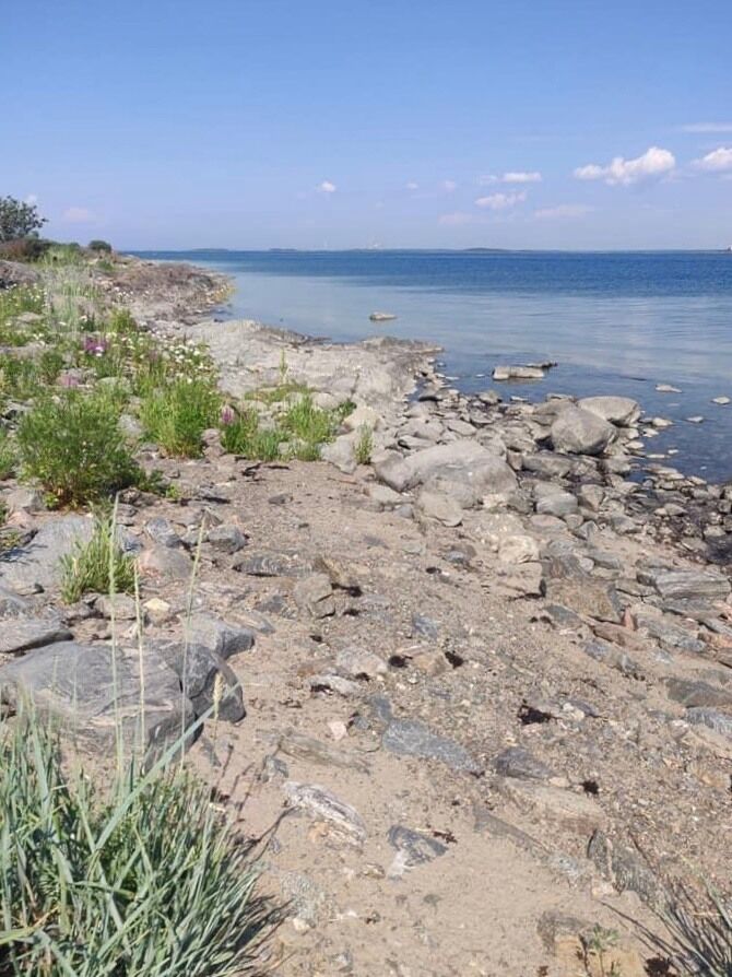

From Högklubben head towards south to the strait between Kumlet and Östra Kumlet. After around two kilometers, head to the gulf between Gräsgrund and Sandskäret. Then turn towards north and enter the strait Norrsundet.Paddle west through the opening between Skränmåsgrund and Rotklobben. There you will find the rock where you can have your first stop/picknick. After having a pause head north and paddle along Rotklobben's and Ljusgrund's eastern coast. Paddle east from Furuskäret's norhtern side and then turn towards south. You arrive back atHögklubben.
You can make the route shorter by paddling west right after Kumlet. In that way you don't have to go to the gulf between Gräsgrund and Sandskäret.
If you want to stay out from the open sea, you can return back into the archipelago. Turn north after you have passed Rotklobben, into the strait between Kumlet and Ljusgrund. Pass Furuskäret from its northern side and turn south. You arrive back at Högklubben.
Check the current weather conditions.
If you go around Kumlet's southern cape, follow carefully the marked boat route.
If you decide to travel by a small boat, check the water depth so that it is deep enough for your boat.
It is nice to have a snack to enjoy during a pause.
Beliebte Touren in der Nähe
St Olav Ostrobothnia (S), Henriksdal-Kristinestad
schwerPilgerweg 27,7 kmSkaftungleden
Kajak / Kanu 19,7 kmMurgrund and Österskäret
Kajak / Kanu 16,4 kmSkatan Tour
Kajak / Kanu 13,6 kmSkaftung – To the sea!
Kajak / Kanu 17,2 kmMemories from Skaftung's golden age
Kajak / Kanu 16,8 kmBlue Trail
Wanderung 3,65 kmNaturpfad Tegelbruksbacken-Norrfjärden
leichtWanderung 8,85 kmCittaslow-Tour
mittelRadfahren 21,0 kmSt Olav Ostrobothnia (S), Sideby-Henriksdal
mittelPilgerweg 17,1 km

Wandern & Tracking


Verpasse keine Angebote und Inspirationen für deinen nächsten Urlaub
Deine E-Mail-Adresse wurde in den Verteiler eingetragen.





