Bad Schallerbach-Wallern - La'palu - Evangelische Kirche Eferding - Stadtpfarrkirche Eferding
mittel
Hol diese Tour auf dein Handy
Bad Schallerbach-Wallern - La'palu - Evangelische Kirche Eferding - Stadtpfarrkirche Eferding
mittel
Rennrad
40,79
km
QR-Code scannen und Navigation in der bergfex App beginnen

Wandern & Tracking


Bad Schallerbach-Wallern - La'palu - Evangelische Kirche Eferding - Stadtpfarrkirche Eferding
mittel
Distanz
40,79
km
Dauer
02:08
h
Aufstieg
164
hm
Seehöhe
263 -
310
m
Track-Download
Bad Schallerbach-Wallern - La'palu - Evangelische Kirche Eferding - Stadtpfarrkirche Eferding
mittel
Rennrad
40,79
km
Wegverlauf
Bad Schallerbach
(308 m)
Dorf
0,0 km
Parzham
(298 m)
Siedlung
3,8 km
Hörstorf
(274 m)
Siedlung
10,4 km
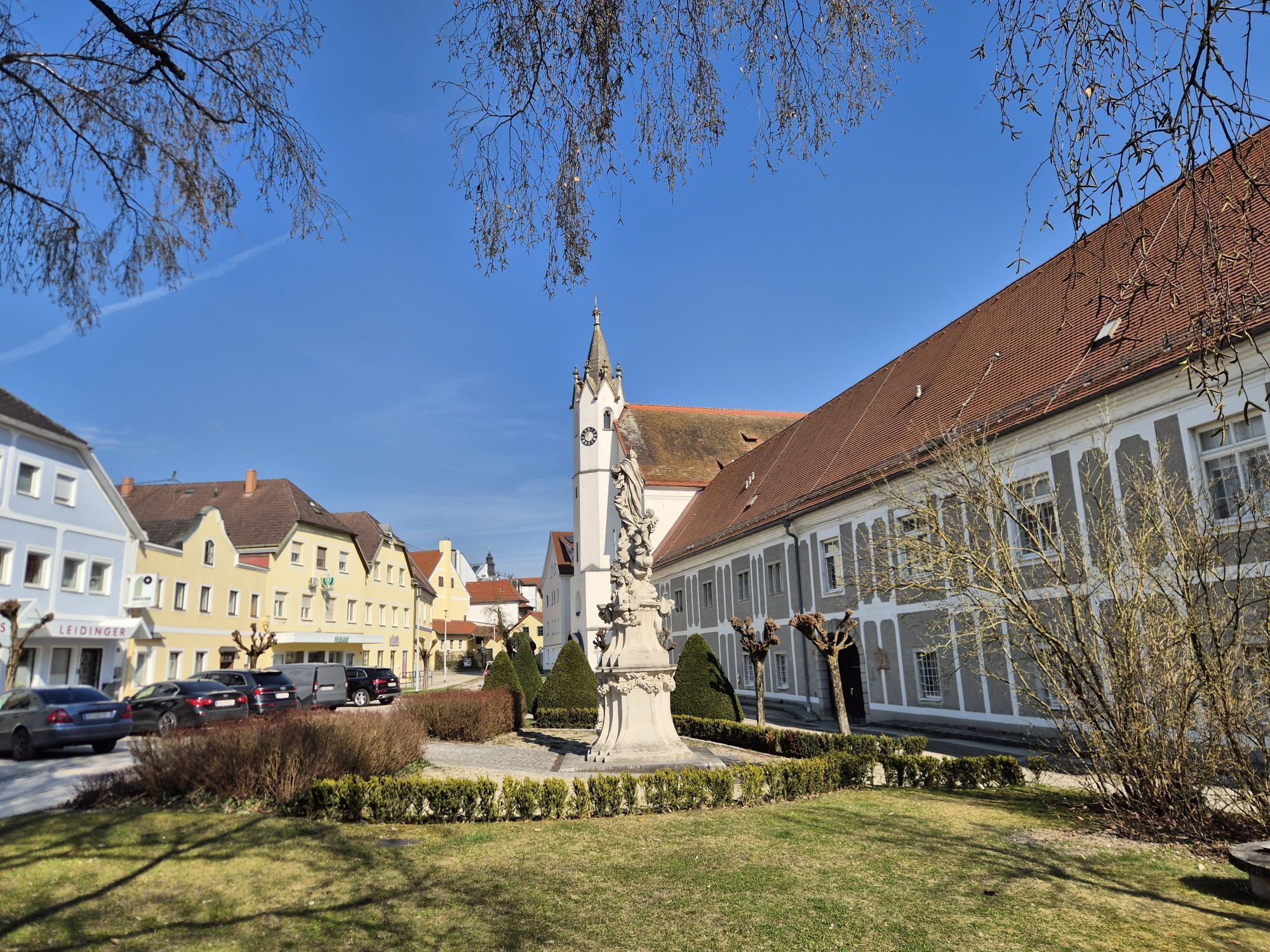
Eferding
(270 m)
Stadt
14,3 km
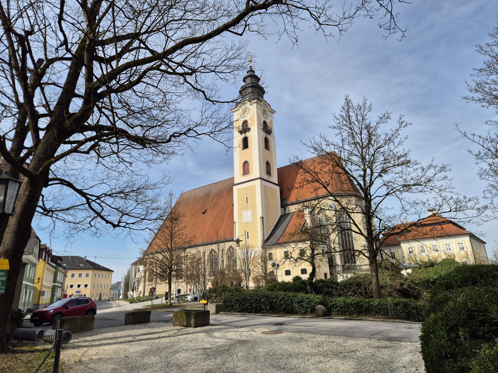
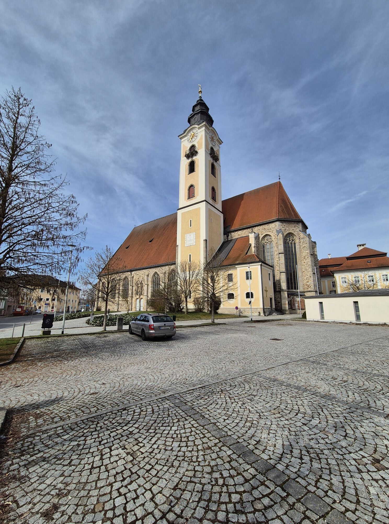
Evangelische Kirche Eferding
(271 m)
Andachtsstätte
14,8 km
Stadtpfarrkirche Eferding
(272 m)
Andachtsstätte
14,8 km
Brandstatt
(267 m)
Siedlung
18,0 km
Wegverlauf
Bad Schallerbach-Wallern - La'palu - Evangelische Kirche Eferding - Stadtpfarrkirche Eferding
mittel
Rennrad
40,79
km
Bad Schallerbach-Wallern
(307 m)
Bahnhof
0,0 km
Bad Schallerbach
(308 m)
Dorf
0,0 km
Wallern an der Trattnach
(299 m)
Dorf
2,0 km
La'palu
(294 m)
Restaurant
3,4 km
Parzham
(298 m)
Siedlung
3,8 km
Breitenaich
(284 m)
Siedlung
6,5 km
Zum Dorfwirt
(285 m)
Restaurant
6,5 km
Zeinet
(282 m)
Siedlung
7,2 km
Steinholz
(288 m)
Siedlung
8,0 km
Hörstorf
(274 m)
Siedlung
10,4 km
Eferding
(270 m)
Stadt
14,3 km
Evangelische Kirche Eferding
(271 m)
Andachtsstätte
14,8 km
Stadtpfarrkirche Eferding
(272 m)
Andachtsstätte
14,8 km
Eferding Nord
(265 m)
Stadtviertel
15,3 km
Au bei hohen Steg
(264 m)
Siedlung
16,3 km
Schiffanlegestelle
(264 m)
Fähren Anlegestelle
17,7 km
Gasthaus und Café Lackner
(266 m)
Restaurant
17,8 km
Landgasthaus Dieplinger
(267 m)
Restaurant
17,9 km
Brandstatt
(267 m)
Siedlung
18,0 km
Schiffsanlegestelle
(264 m)
Fähren Anlegestelle
18,0 km
Aschach an der Donau
(272 m)
Dorf
20,6 km
Schiffsanlegestelle
(264 m)
Fähren Anlegestelle
23,2 km
Brandstatt
(267 m)
Siedlung
23,3 km
Landgasthaus Dieplinger
(267 m)
Restaurant
23,3 km
Gasthaus und Café Lackner
(266 m)
Restaurant
23,4 km
Schiffanlegestelle
(264 m)
Fähren Anlegestelle
23,5 km
Au bei hohen Steg
(264 m)
Siedlung
25,0 km
Eferding Nord
(265 m)
Stadtviertel
25,9 km
Eferding
(270 m)
Stadt
26,8 km
Eferding
(271 m)
Bahnhof
27,5 km
Hörstorf
(274 m)
Siedlung
30,2 km
Steinholz
(288 m)
Siedlung
32,6 km
Zeinet
(282 m)
Siedlung
33,5 km
Zum Dorfwirt
(285 m)
Restaurant
34,2 km
Breitenaich
(284 m)
Siedlung
34,2 km
Parzham
(298 m)
Siedlung
36,8 km
La'palu
(294 m)
Restaurant
37,4 km
Wallern an der Trattnach
(299 m)
Dorf
38,7 km
Bad Schallerbach
(308 m)
Dorf
40,7 km
Bad Schallerbach-Wallern
(307 m)
Bahnhof
40,8 km
Noch keine Bewertungen
Beliebte Touren in der Nähe
- 3,9
Kerzensteinwanderung im "Naturschutzgebiet Pesenbachtal"
mittelWanderung 4,16 km - 4,6
Kirschblütenrunde Scharten
mittelWanderung 11,6 km - 4,2
Kirschblütenwanderung
leichtThemenweg 9,04 km - 4,8
Donauradweg Etappe 2 Südufer: Schlögen - Linz
leichtFernradweg 53 km - 3,8
Weberbartlweg
leichtWanderung 8,48 km - 5,0
Wilson Holz Pesenbach Round Trail
leichtWanderung 7,53 km - 4,7
Obst-Hügel-Land Radweg Nr.1
mittelRadfahren 37 km - 3,7
Krenglbacher Waldweg
leichtWanderung 10,2 km - 3,6
Mayrhofberg 655m - höchster Gipfel des Bezirkes Eferding
leichtWanderung 8,78 km - 4,3
Krenglbacher Höhenweg
leichtWanderung 12,0 km
Wandern & Tracking

Über 550.000 Tourenvorschläge, detailliertes Kartenmaterial und ein intuitiver Routenplaner machen die App zum Must-have für alle Naturbegeisterten.

Verpasse keine Angebote und Inspirationen für deinen nächsten Urlaub
Zum Newsletter anmelden
Fehler
Ein Fehler ist aufgetreten. Bitte versuche es erneut.Vielen Dank für deine Anmeldung
Deine E-Mail-Adresse wurde in den Verteiler eingetragen.
Touren in ganz Europa
Österreich Schweiz Deutschland Italien Slowenien Frankreich Niederlande Belgien Polen Liechtenstein Tschechien Slowakei Spanien Kroatien Bosnien und Herzegowina Luxemburg Andorra Portugal Island Vereinigtes Königreich Irland Griechenland Albanien Nordmazedonien Malta Norwegen Montenegro Moldau Kosovo Ungarn San Marino Rumänien Estland Lettland Belarus Zypern Litauen Serbien Bulgarien Monaco Dänemark Schweden Finnland