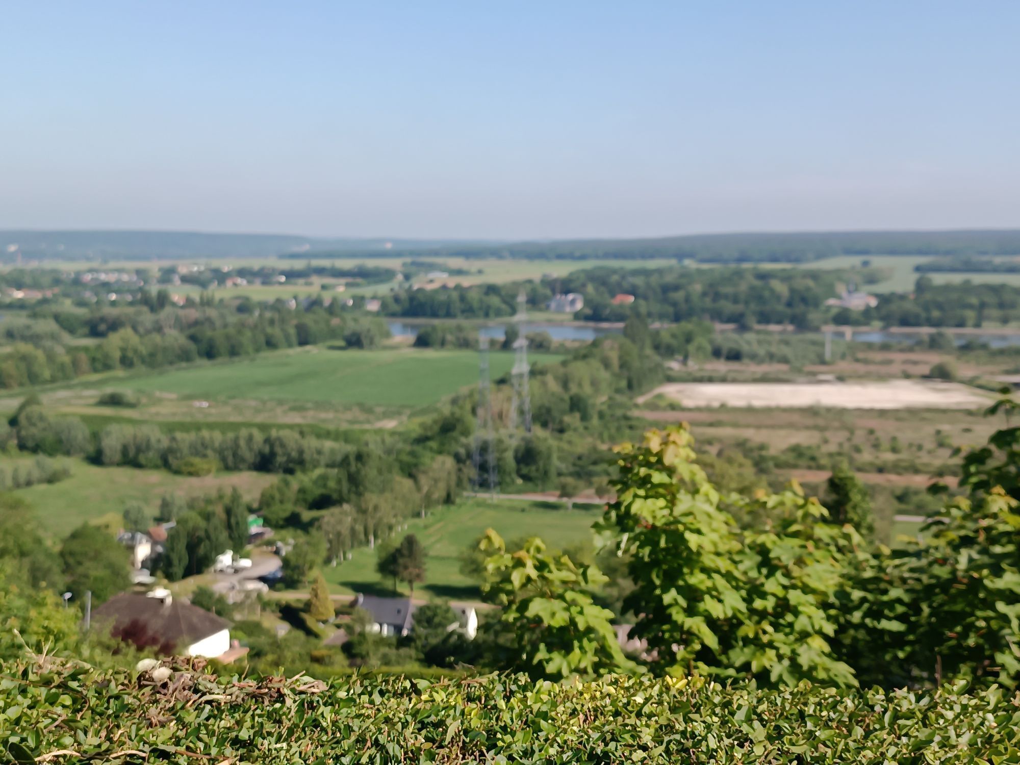
Le Grand-Quevilly - Église Saint-Aubin - La Pointe du Zinc - Église Saint-Jacques le Majeur
mittel
Navigieren
Navigieren
Hol diese Tour auf dein Handy
Le Grand-Quevilly - Église Saint-Aubin - La Pointe du Zinc - Église Saint-Jacques le Majeur
mittel
Rennrad
44,20
km
QR-Code scannen und Navigation in der bergfex App beginnen

Wandern & Tracking


Le Grand-Quevilly - Église Saint-Aubin - La Pointe du Zinc - Église Saint-Jacques le Majeur
mittel
Distanz
44,20
km
Dauer
02:15
h
Aufstieg
382
hm
Seehöhe
3 -
132
m
Track-Download
Le Grand-Quevilly - Église Saint-Aubin - La Pointe du Zinc - Église Saint-Jacques le Majeur
mittel
Rennrad
44,20
km
Wegverlauf
Le Grand-Quevilly
(42 m)
Stadt
0,4 km
Église Saint-Aubin
(14 m)
Andachtsstätte
7,3 km
Grand-Couronne
(19 m)
Dorf
11,2 km
La Chesnaie
(56 m)
Stadtviertel
15,9 km
Moulineaux
(14 m)
Dorf
16,2 km
Église Saint-Jacques le Majeur
(20 m)
Andachtsstätte
32,6 km
Grand-Couronne
(19 m)
Dorf
35,7 km
Wegverlauf
Le Grand-Quevilly - Église Saint-Aubin - La Pointe du Zinc - Église Saint-Jacques le Majeur
mittel
Rennrad
44,20
km
Eurasia Mng
(32 m)
Restaurant
0,0 km
Le Grand-Quevilly
(42 m)
Stadt
0,4 km
L'Aristide
(15 m)
Restaurant
6,5 km
Église Saint-Aubin
(14 m)
Andachtsstätte
7,3 km
La Pointe du Zinc
(18 m)
Restaurant
9,9 km
Grand-Couronne
(19 m)
Dorf
11,2 km
L'Annexe du Z
(7 m)
Restaurant
11,5 km
Le Bourg
(6 m)
Stadtviertel
14,1 km
Le Petit Grésil
(35 m)
Flur/Gelände
14,8 km
La Chesnaie
(56 m)
Stadtviertel
15,9 km
Moulineaux
(14 m)
Dorf
16,2 km
La Bouille
(5 m)
Dorf
21,9 km
La Bouille
(5 m)
Dorf
29,4 km
Les Fontaines
(5 m)
Stadtviertel
31,6 km
Le Moulin
(5 m)
Stadtviertel
31,8 km
Église Saint-Jacques le Majeur
(20 m)
Andachtsstätte
32,6 km
Moulineaux
(14 m)
Dorf
32,6 km
Le Bourg
(6 m)
Stadtviertel
32,7 km
La Chesnaie
(56 m)
Stadtviertel
32,8 km
L'Annexe du Z
(7 m)
Restaurant
35,2 km
Grand-Couronne
(19 m)
Dorf
35,7 km
La Pointe du Zinc
(18 m)
Restaurant
37,0 km
L'Aristide
(15 m)
Restaurant
40,4 km
Le Grand-Quevilly
(42 m)
Stadt
44,1 km
Eurasia Mng
(32 m)
Restaurant
44,2 km
Noch keine Bewertungen
Beliebte Touren in der Nähe
240816_BikeNormandie_ALL_LIGHT_ByGe_.gpx
Wanderung 584,8 kmYville-sur-Seine - Église Saint-Léger-et-Saint-Louis
leichtWanderung 7,05 kmHautot-sur-Seine - Bac de Sahurs - La Bouille
mittelWanderung 8,19 kmQuartier Saint-Marc / Croix de Pierre / Saint-Nicaise - Église Saint-Maclou - Église de Jésus-Christ des saints des derniers jours - Quartier Vieux-Marché Cathédrale
leichtWanderung 2,56 kmQuevillon
mittelWanderung 10,3 kmBonsecours - Rouen - La Maison du Bonheur - Église Saint-Pierre
mittelWanderung 8,33 kmLa Londe - Église Saint-Ouen - Église Saint-Jean - Église Notre-Dame
mittelRennrad 38,5 kmÉglise Saint-Ouen - Montigny - Hénouville - Église Saint-Michel
mittelWanderung 17,6 kmRouen Rive-Droite - Rouen - Église Saint-Lubin - Église Saint-Patrice
mittelGravelbike 77,3 kmBasilique du Sacré-Cœur - Rouen - Église Sainte-Jeanne-d'Arc - Quartier Pasteur
mittelWanderung 8,13 km

Wandern & Tracking

Über 550.000 Tourenvorschläge, detailliertes Kartenmaterial und ein intuitiver Routenplaner machen die App zum Must-have für alle Naturbegeisterten.

Verpasse keine Angebote und Inspirationen für deinen nächsten Urlaub
Zum Newsletter anmelden
Fehler
Ein Fehler ist aufgetreten. Bitte versuche es erneut.Vielen Dank für deine Anmeldung
Deine E-Mail-Adresse wurde in den Verteiler eingetragen.
Touren in ganz Europa
Österreich Schweiz Deutschland Italien Slowenien Frankreich Niederlande Belgien Polen Liechtenstein Tschechien Slowakei Spanien Kroatien Bosnien und Herzegowina Luxemburg Andorra Portugal Island Vereinigtes Königreich Irland Griechenland Albanien Nordmazedonien Malta Norwegen Montenegro Moldau Kosovo Ungarn San Marino Rumänien Estland Lettland Belarus Zypern Litauen Serbien Bulgarien Monaco Dänemark Schweden Finnland