




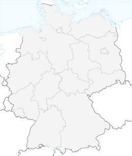


Halden Route - Along the coal tips into the Worm Valley

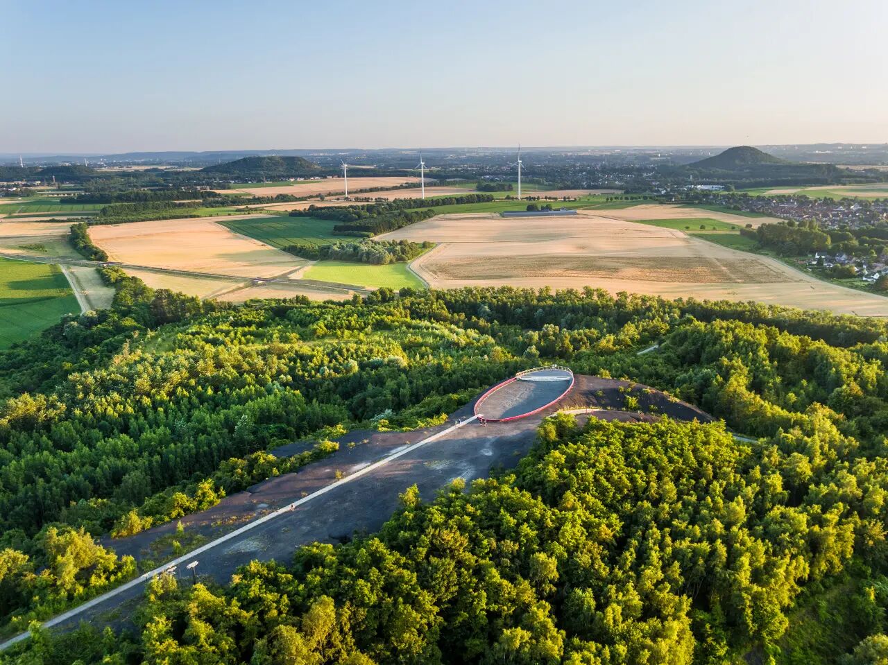
Immerse yourself in an exciting mixture of industrial culture and fascinating landscape. The route connects a total of six slag heaps of the former mining area: Anna-Noppenberg, Anna I and II, Adolf, Carl-Alexander...
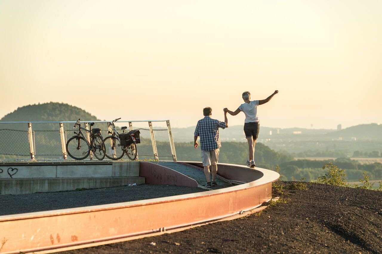
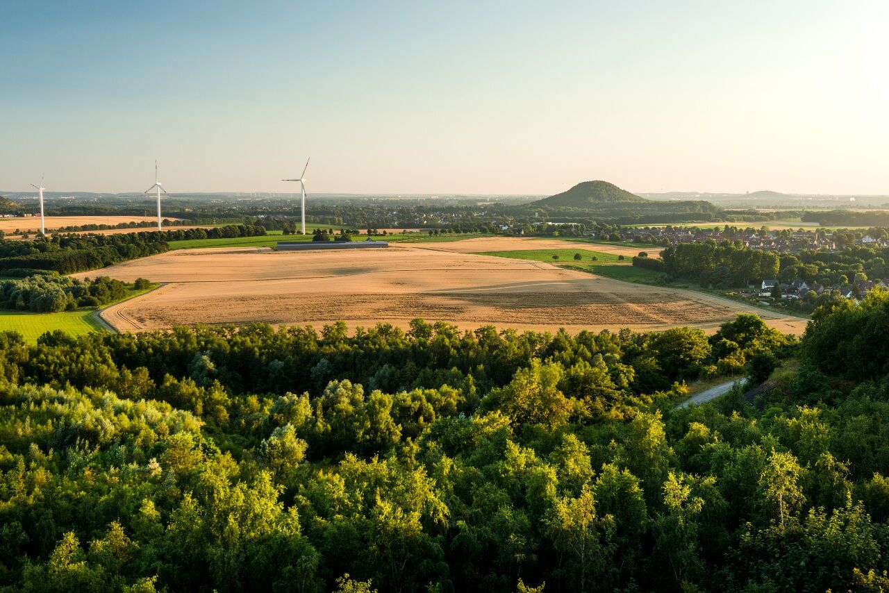
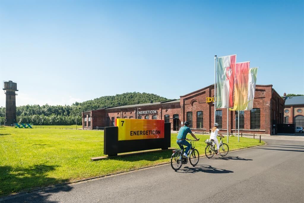
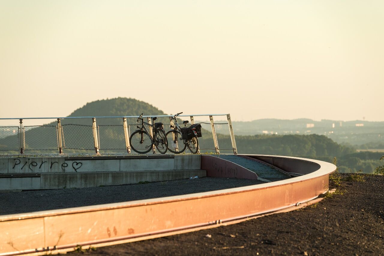
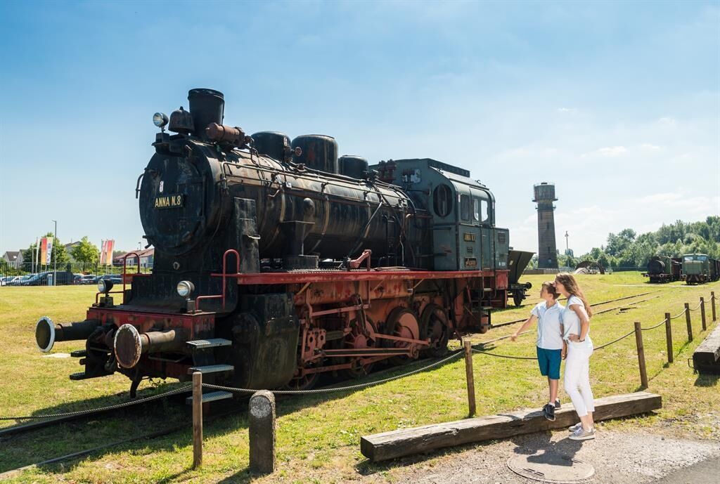
Immerse yourself in an exciting mixture of industrial culture and fascinating landscape. The route connects a total of six slag heaps of the former mining area: Anna-Noppenberg, Anna I and II, Adolf, Carl-Alexander and Carolus Magnus. After recultivation, a variety of leisure activities, breathtaking viewpoints and fascinating natural landscapes were created on the individual slagheaps. Besides the slagheaps, various industrial monuments such as the Alsdorf-Busch mining settlement, the nearby Anna energy landscape, the Energeticon or the mining machine house Grube Adolf in Herzogenrath bear witness to the mining history of the region.
Numerous castles and palaces along the way, such as Rode Castle as the landmarks of Herzogenrath, Rimburg Castle, Zweibrüggen Castle, Alsdorf Castle or Ottenfeld Castle, also recall days long gone when dukes and knights were still roaming the country.
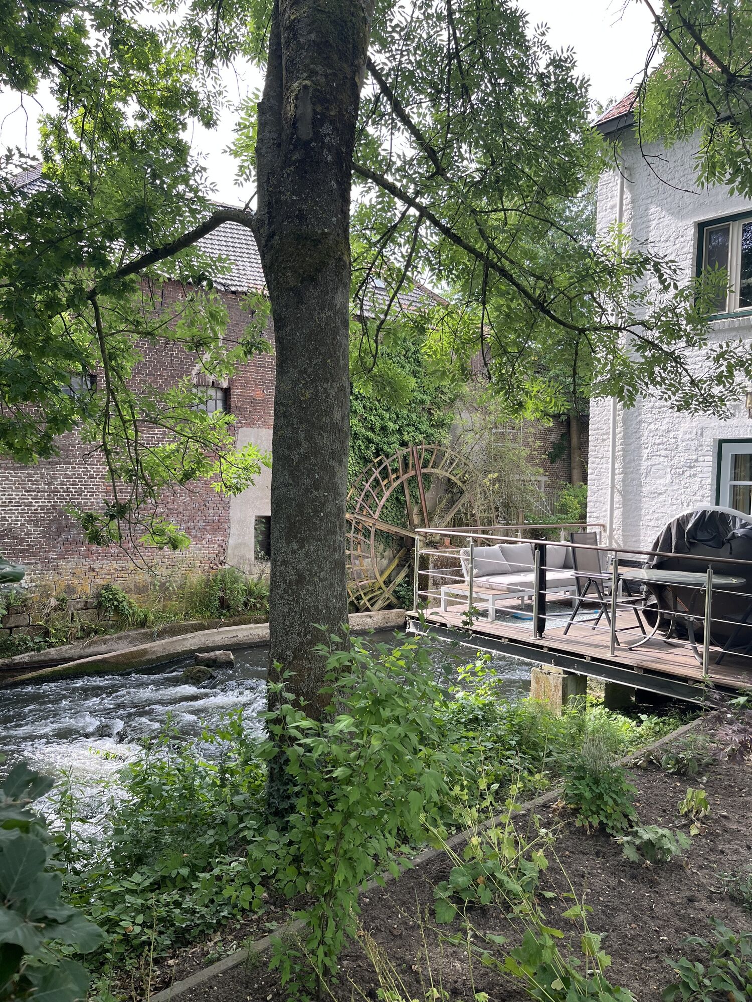
The route also has an impressive landscape due to the idyllic forest, field and meadow landscapes along the Wurm and Broichbach valleys. The course of the water changes constantly due to the power of the flowing water, new channels, gravel banks, crumbling steep banks, abandoned river beds and new alluvial forests are constantly being created. The Broichbach valley also fascinates with its multifaceted flora and fauna.
Highlights entlang der Strecke:
Burg Rode
Carolus Magnus with water tower
Wurmtal
Rimburg Castle
Zweibruggen Castle
Willy-Dohmen-Park
Alsdorf Castle
Carl Alexander Park stockpile
Rolduc Abbey
Broichbachtal
Pit Adolf-Park
Energeticon and energy landscape Anna
Mining settlement Alt-Busch

Course of the track:
The cycle path is signposted throughout via the junction system of the StädteRegion Aachen. From Herzogenrath station via junction 18, parking lot Berger Straße, 25, 27, 28, 29, 30, 31, 54, 53, 32, 37, 61, 36, 35, 42, 22, 20, 18 back to Herzogenrath station.
Unterwegs mit Pittchen Pedale, Radwandern in der Städteregion Aachen, Radwegekarte On the way with Pittchen Pedale, bicycle touring in StädteRegion Aachen, biking map 1:50.000 with accompanying booklet, Price: 7,50 €, ISBN 978-3-89899-529-0, Meyer & Meyer Verlag
With the weather adapted clothing, enough water and a little food you are well equipped for the tour.
Behind junction 35, immediately before crossing the railway line, there is a speed limit, which forces caution at low speeds and even with a blunt approach angle.
For individual planning of your journey by car, use our route planner and enter "Herzogenrath, Bahnhof" as your destination.
By regional train or bus to Herzogenrath station.
Your personal connection information with tariff information for travelling by public transport is available at: www.avv.de
Please note that passengers with prams and wheelchair users always have priority over cyclists. The personnel in the vehicles can decide on a case-by-case basis whether or not to take bicycles with them.
Park your car in the parking lot of the Herzogenrath railway station, which is also the starting point of the tour.
Refreshment stops:
Various possibilities in the city centres of Herzogenrath, Alsdorf, Baesweiler and Übach-Palenberg
Beliebte Touren in der Nähe
- 4,0
Dinotour Würselen
mittelWanderung 6,43 km - 5,0
Burg Wilhelmstein - Aachener Dom (Bardenberg) #LL2ROM V14 (Erkelenz - Aachen Prt. 4 von 4)
leichtWanderung 11,5 km - 5,0
Geilenkirchen- Burg Wilhelmstein (Bardenberg) #LL2ROM V10 (Erkelenz - Aachen Prt. 3 von 4)
mittelWanderung 21,0 km - 5,0
Von Heinsberg Kirchhoven entlang der Wurm nach Geilenkirchen #LL2ROM V08 (Erkelenz-Aachen 2 von 4)
leichtWanderung 24,5 km The North of the CitiesRegion Aachen
mittelRadfahren 48,4 kmToskana im Mergelland
mittelRadfahren 38,0 kmHöhenflugtour Herzogenrath-Streiffelt
mittelWanderung 8,96 kmWurmtour - von Aachen nach Herzogenrath
mittelRadfahren 18,4 kmWasserburgen-Route
Radfahren 381,4 kmPaulinentour - Würselen-Adamsmühle
mittelWanderung 7,31 km
Wandern & Tracking


Verpasse keine Angebote und Inspirationen für deinen nächsten Urlaub
Deine E-Mail-Adresse wurde in den Verteiler eingetragen.





