







Rigi - First Promenade

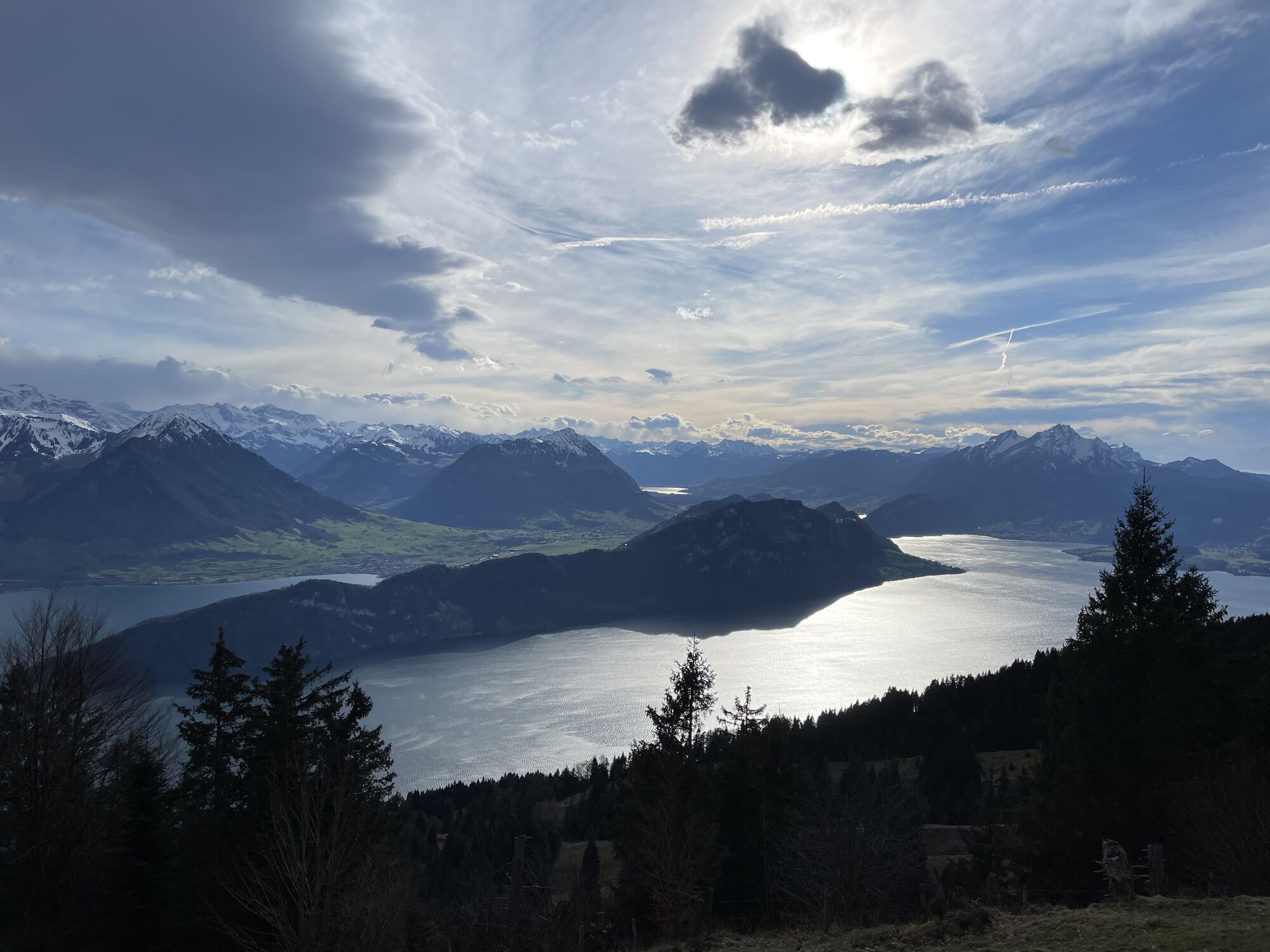
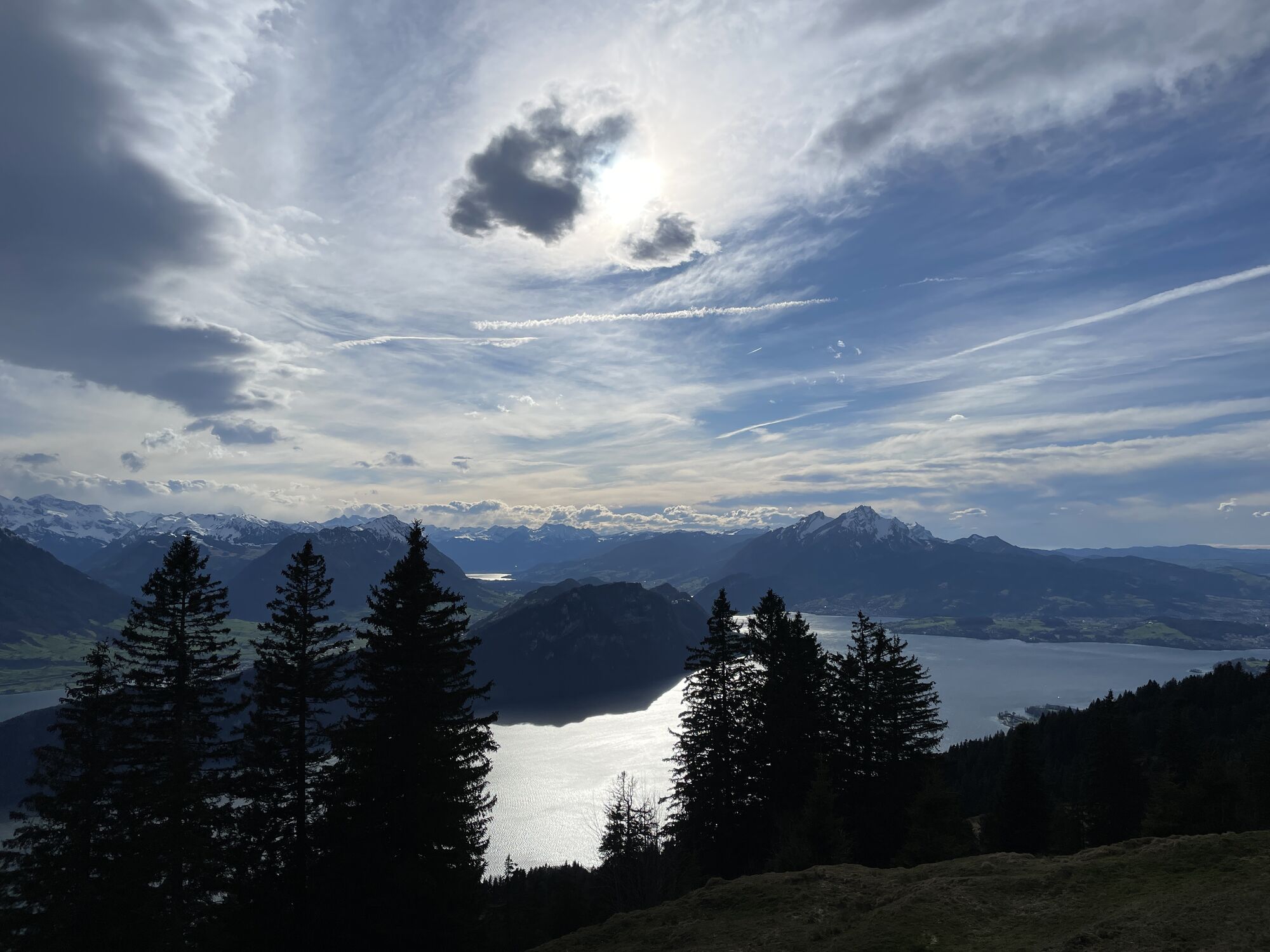
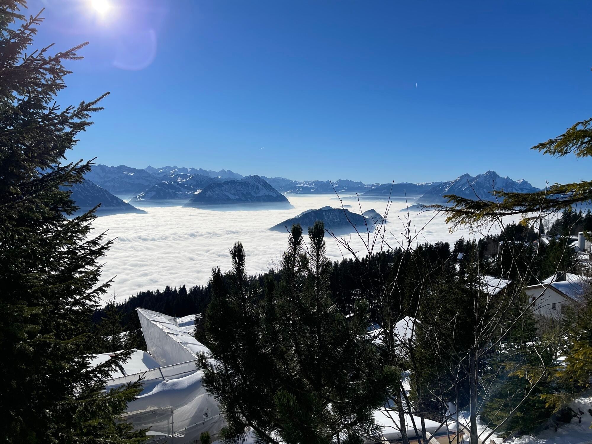
The first section offers a fantastic view of Lake Lucerne and the snow-capped Alps on the southern horizon.
Are you a relish walker? Then you should not miss this tour. This wide hiking trail runs along...
The first section offers a fantastic view of Lake Lucerne and the snow-capped Alps on the southern horizon.
Are you a relish walker? Then you should not miss this tour. This wide hiking trail runs along the route of the former Rigi-Scheidegg railway. From the restaurant Bärenstube First it leads through a enlightened mountain forest with a view of the both sides of Mt.Mythen that majestically tower over the Schwyz basin.
Hints
You can find the up-to-date operating status of the railways and hiking trails here.
In order to let our next generation also enjoy the Queen of the Mountains, may we ask you to dispose of the waste at Rigi Stations. Thank you.

Rigi Kaltbad (1436 m)- First (1453 m) - Station Wölfertschen First (1479 m)
High profile winter equipment are needed: hiking boots, rain jacket, drink, food and possibly walking sticks.
Please always use the marked winter hiking trails.
Take the exit Brunnen from A4 highway, then direction to Vitznau - Weggis
Further information about arrival and parking
However, we recommend you to arrive by public transportations instead of cars: Lean back, enjoy and do something good for the environment.
I recommend to induldge yourself for a moment in the hearty Restaurant Bärenstube.
Webcams der Tour

Beliebte Touren in der Nähe
-
3,9
Rundweg Seebodenalp Küssnacht am Rigi, Schweiz
mittelWanderung 9,56 km -
4,4
Seebodenalp Panoramaweg
leichtWanderung 5,25 km -
3,9
Gnipen - ab Goldau - Rundwanderung
mittelWanderung 10,6 km -
4,8
Home-Rigi Kulm-Home
mittelWanderung 18,6 km -
4,8
Rigi Kulm von Vitznau aus
mittelWanderung 17,6 km -
4,7
Wildspitz bei Sattel-Aegeri
leichtWanderung 12,9 km -
5,0
Morschach-Fronalpstock-Stoss, Schweiz
mittelWanderung 16,6 km -
5,0
Rigi Klösterli - Kaltbach - Kulm - Klösterli
mittelWanderung 10,3 km -
5,0
Kleine Rigi Runde🥾🏔
mittelWanderung 14,0 km -
5,0
Zugerberg - via Blasenberg - Rundwanderung
leichtWanderung 9,44 km
Wandern & Tracking


Verpasse keine Angebote und Inspirationen für deinen nächsten Urlaub
Deine E-Mail-Adresse wurde in den Verteiler eingetragen.





