


Route of Rigi Tell
Fotos unserer User
 © BabajoErstellt am 09.04.2026
 © BabajoErstellt am 09.04.2026
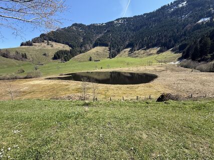 © BabajoErstellt am 09.04.2026
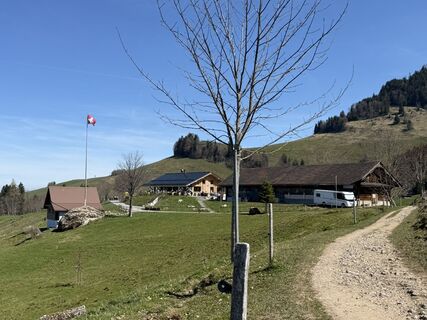 © BabajoErstellt am 09.04.2026
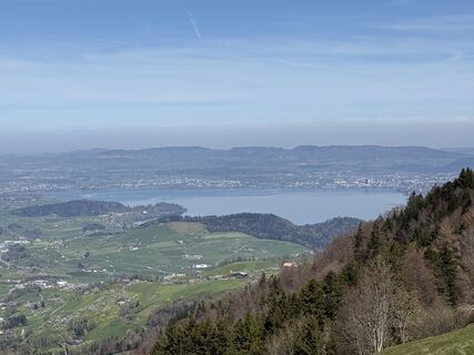 © BabajoErstellt am 09.04.2026
 © BabajoErstellt am 09.04.2026
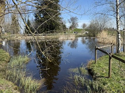 © BabajoErstellt am 09.04.2026
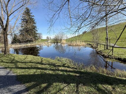 © BabajoErstellt am 09.04.2026
 © BabajoErstellt am 09.04.2026
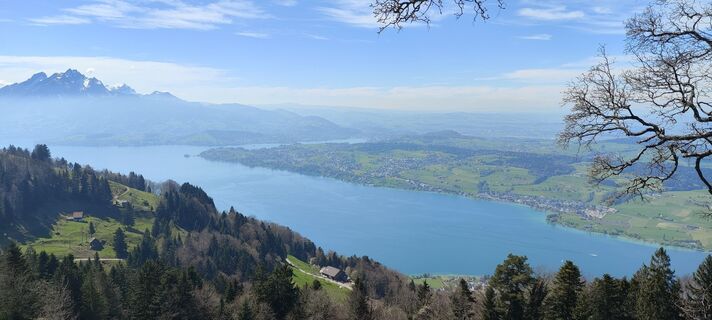
 © Jan 2505Erstellt am 19.04.2025
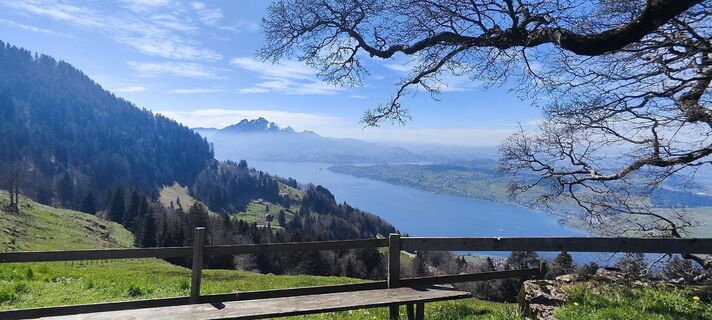 © Jan 2505Erstellt am 19.04.2025
 © Jan 2505Erstellt am 19.04.2025
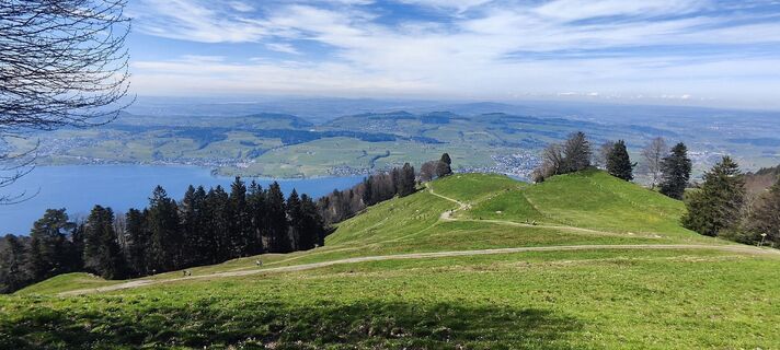 © Jan 2505Erstellt am 19.04.2025
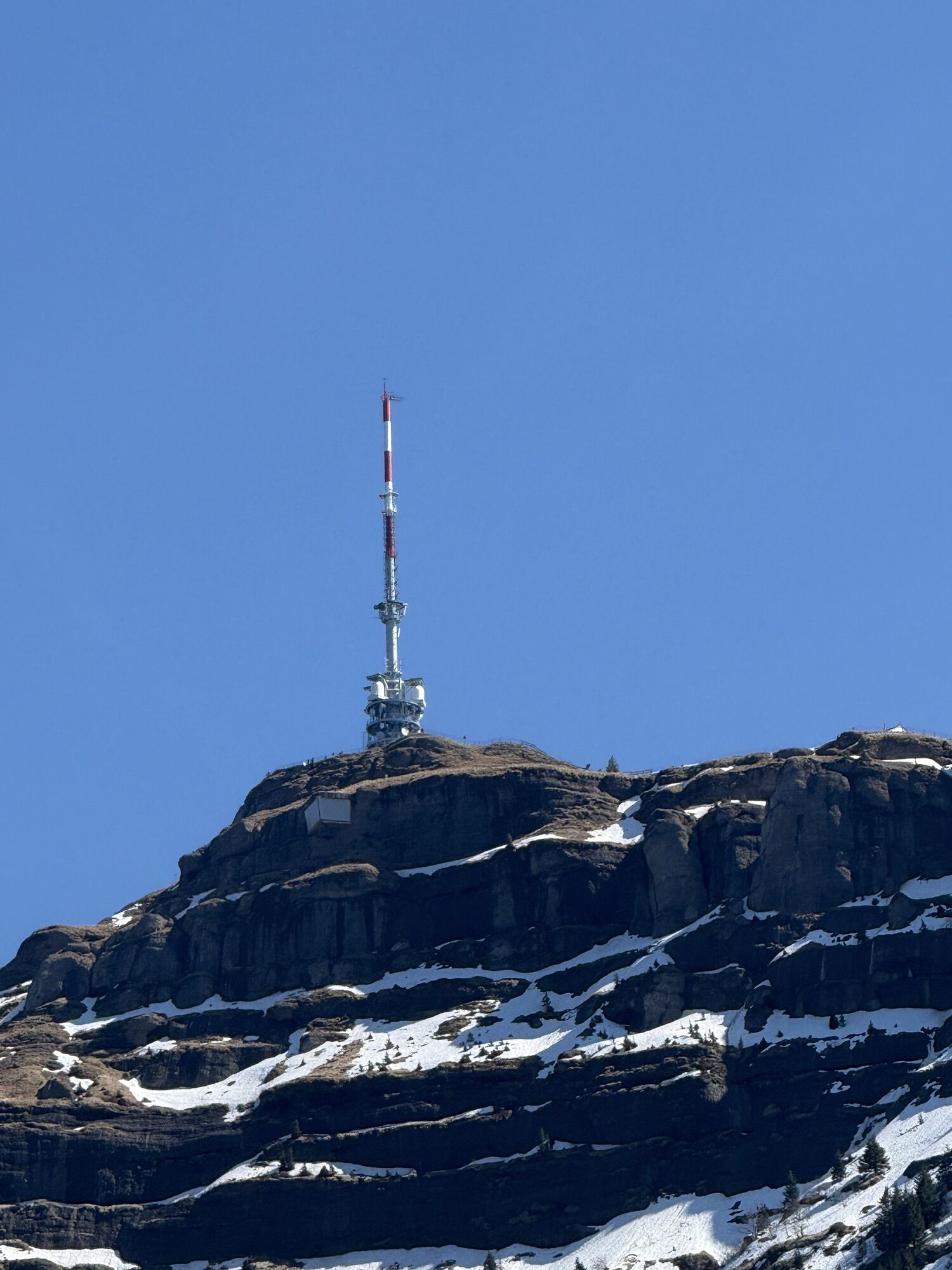
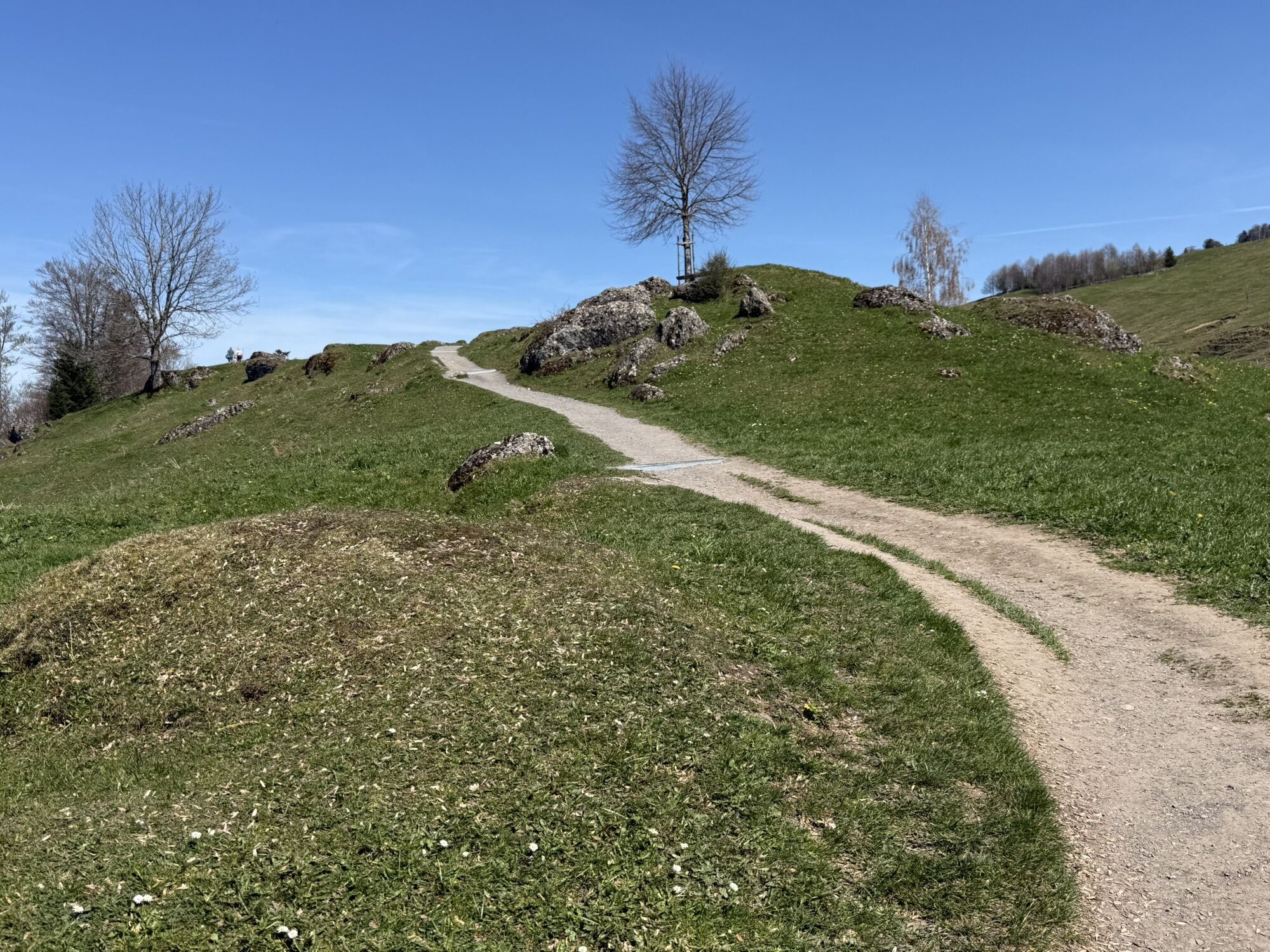
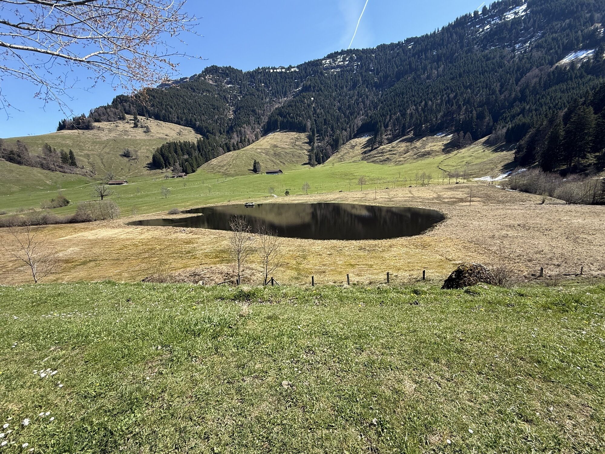
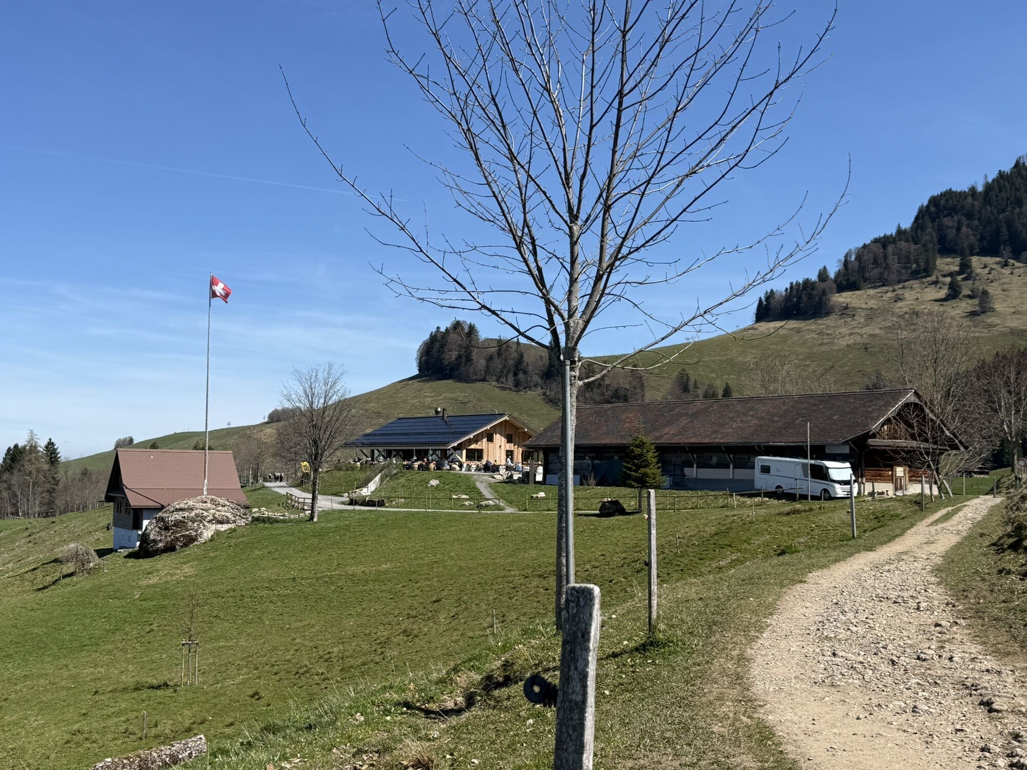

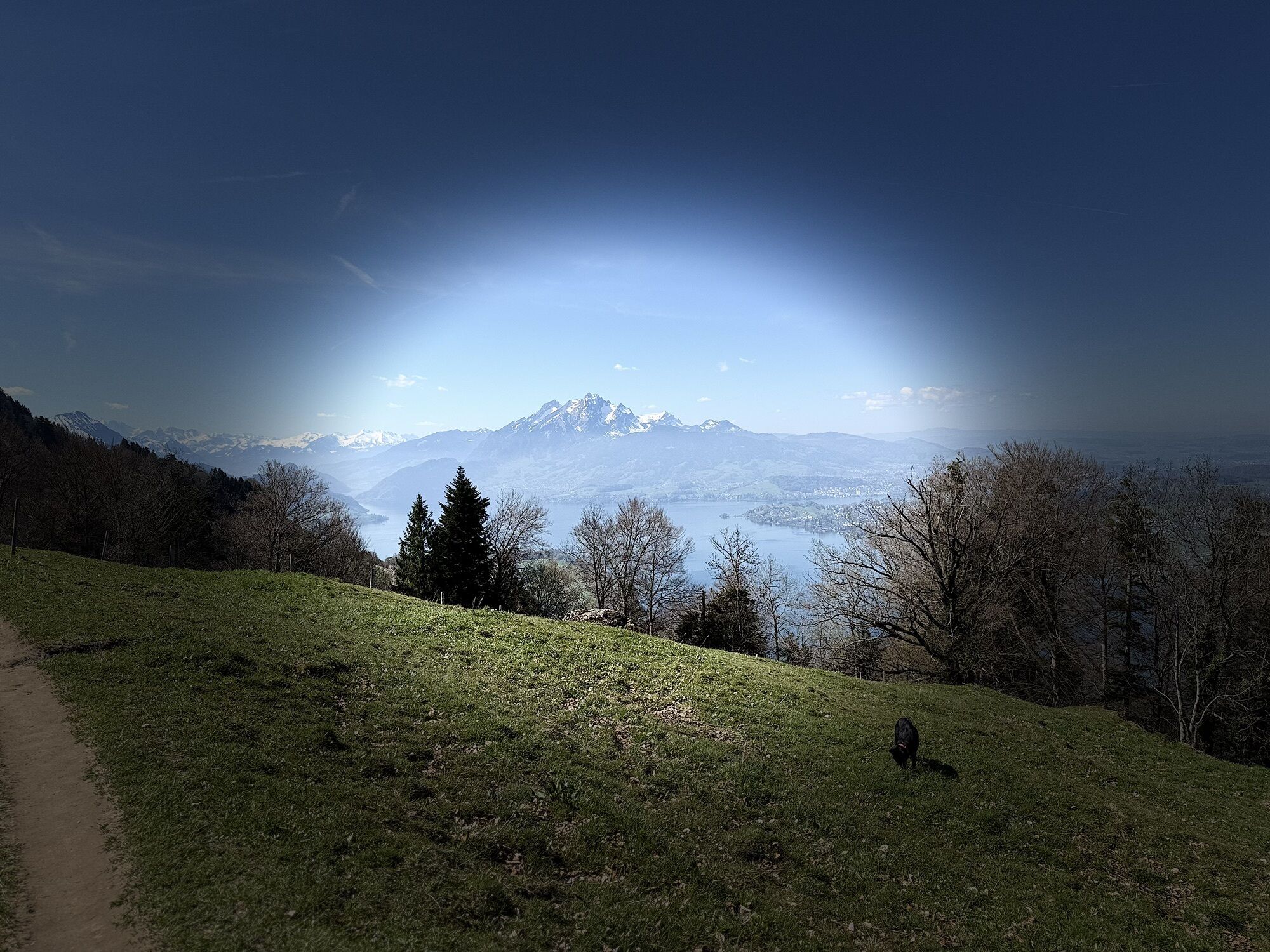

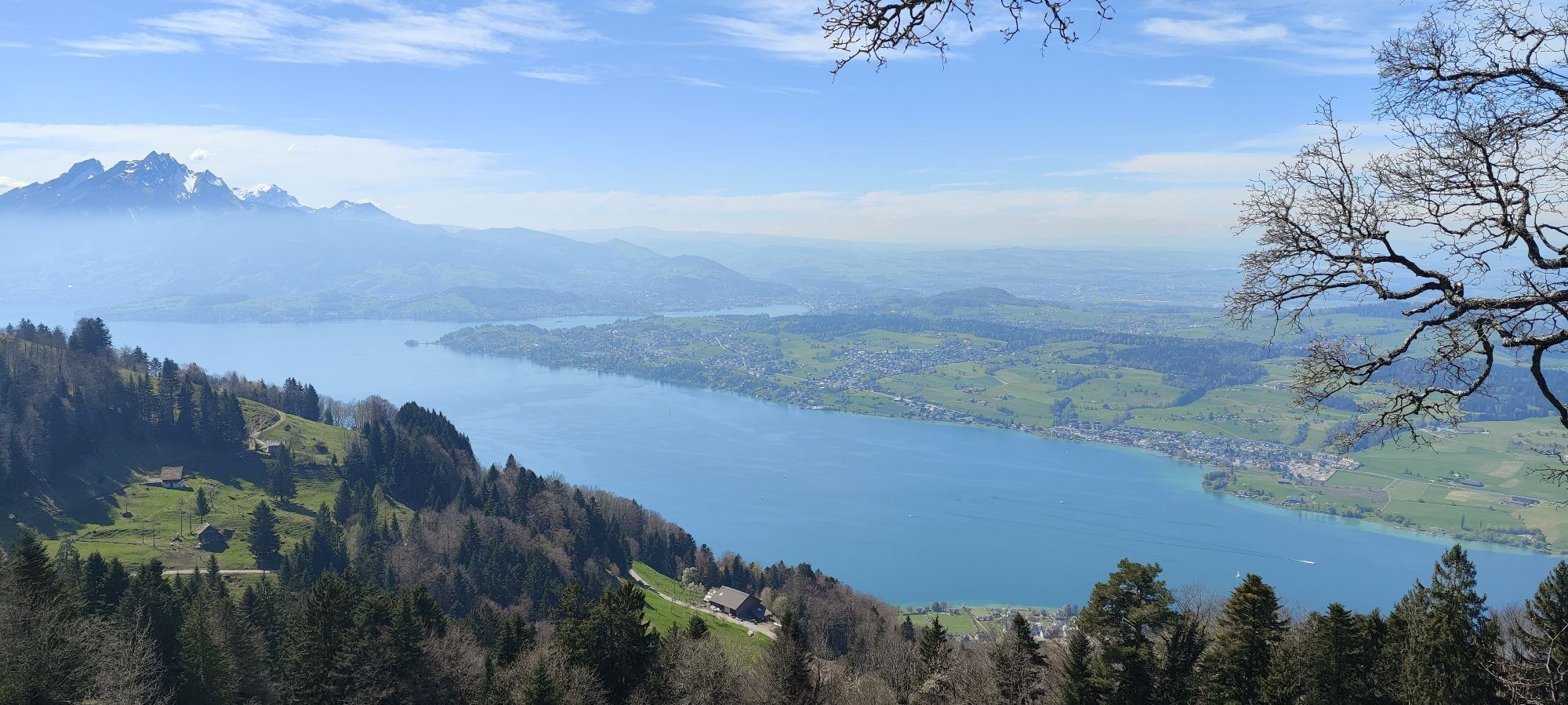


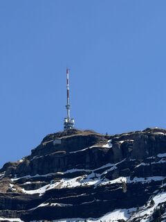
The walk to the fantastic lookout at Känzeli is initially flat, so you can get off to a gentle start. The view from the lookout of Lake Lucerne's Kreuztrichter basin is unforgettable. There's also a memorial...
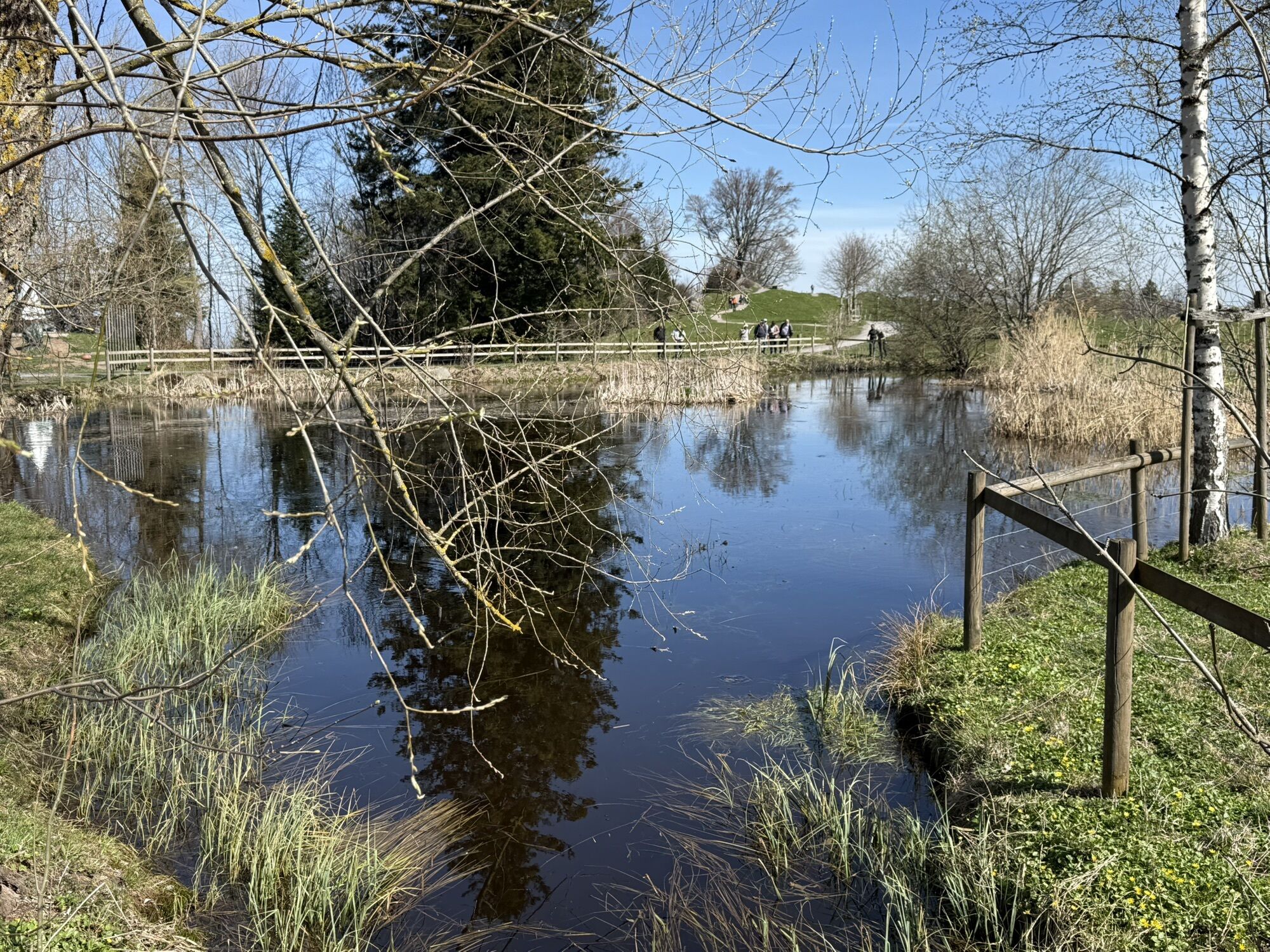
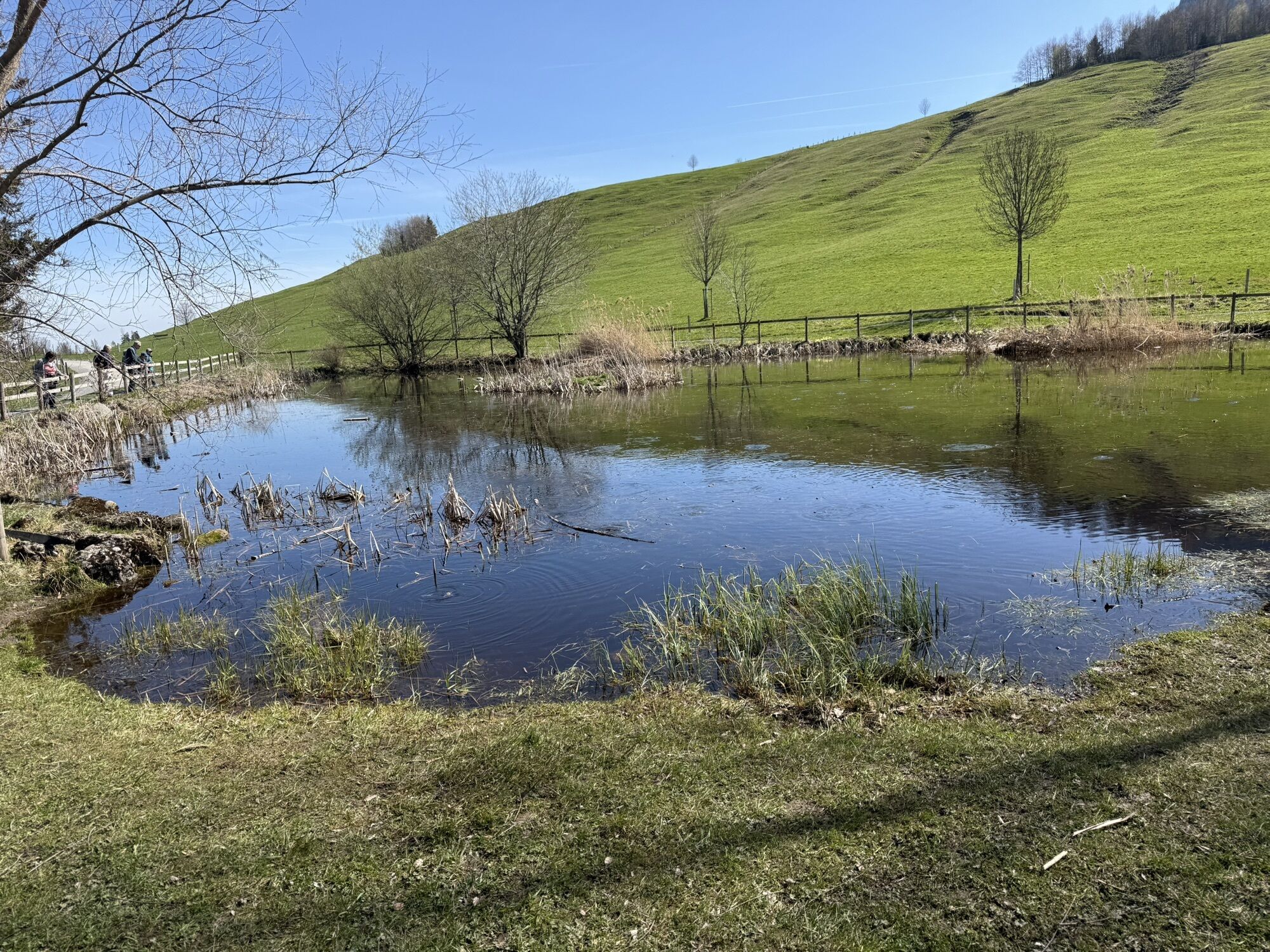
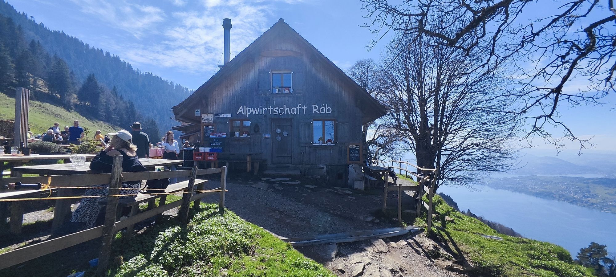
The walk to the fantastic lookout at Känzeli is initially flat, so you can get off to a gentle start. The view from the lookout of Lake Lucerne's Kreuztrichter basin is unforgettable. There's also a memorial featuring Goethe's diary entry about his visit to Mt. Rigi. From Känzeli, the trail follows the same route taken by Queen Victoria of England (on horseback) in 1886: a steep but safe descent through the shady Mt. Rigi forest takes you via Alp Räb and Chrüzboden to the cosy alpine pub Ruedisegg. From there the trail flattens out again until Seebodenalp, then descends gently to Küssnacht where William Tell finished off Gessler with his crossbow in a narrow sunken lane.
For your information
In order to let our next generation also could enjoy the beauty of the Rigi, we would like to ask you to dispose of your own waste in the waste bins which are located at all of the stations of RIGI BAHNEN AG. Thank you.
Rigi Kaltbad (1436 m) – Känzeli (1464 m) – Alp Räb (1124 m) – Chrüzboden (1056 m) – Alp Ruodisegg (1040 m) – Seebodenalp (1020 m) - Küssnacht am Rigi (456 m)
Festes Schuhwerk und witterungsbedingte Kleidung empfohlen.
A4 exit Küssnacht am Rigi, follow the signs to Weggis or Vitznau
Good accessible by train and bus
The station Rigi Kaltbad can be easily reached by cog railway from Vitznau or by cable car from Weggis.
There are plenty parking spaces avaliable at valley stations. Fees apply.
However, we recommend public transport instead of cars: lean back, be stress-free and do something good for the environment.
Mein persönlicher Tipp: Geniessen Sie beim Känzeli die einmalige Aussicht auf den Kreuztrichter des Vierwaldstättersees.
Beliebte Touren in der Nähe
- 4,8
Rigi Kulm von Vitznau aus
mittelWanderung 17,6 km - 3,9
Rundweg Seebodenalp Küssnacht am Rigi, Schweiz
mittelWanderung 9,56 km - 3,7
Gnipen - ab Goldau - Rundwanderung
mittelWanderung 10,6 km - 4,4
Seebodenalp Panoramaweg
leichtWanderung 5,25 km - 5,0
Kleine Rigi Runde🥾🏔
mittelWanderung 14,0 km - 4,5
Wildspitz bei Sattel-Aegeri
leichtWanderung 12,9 km - 3,5
Logenplatz über dem Vierwaldstädter See
mittelKlettersteig 8,87 km - 3,7
2300912.Klevenalp Stockhütte
leichtWanderung 5,28 km - 5,0
Zugerberg - via Blasenberg - Rundwanderung
leichtWanderung 9,44 km - 5,0
Buochserhorn, Schweiz
mittelWanderung 6,48 km
Wandern & Tracking


Verpasse keine Angebote und Inspirationen für deinen nächsten Urlaub
Deine E-Mail-Adresse wurde in den Verteiler eingetragen.