


Rigi - Seebodenalp "Path of Grüezi"
This pleasant descent from the summit of Mt. Rigi is one of the most popular walking trails on the "Queen of the Mountains". It features a captivating view of the Alps and the Swiss plateau, yet isn't...
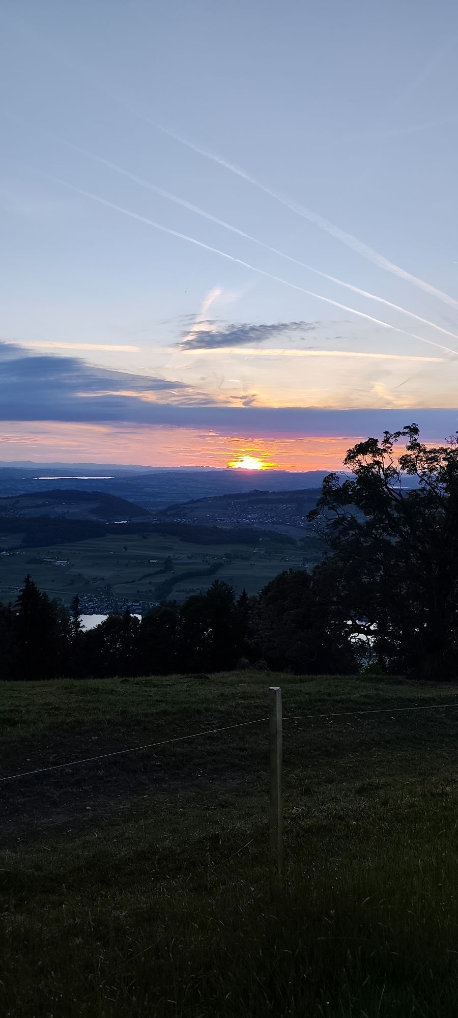
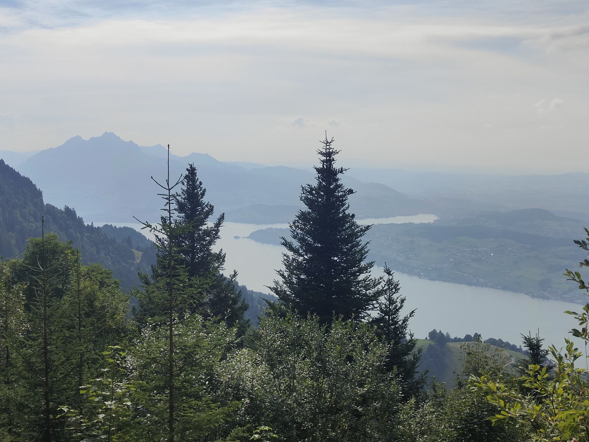
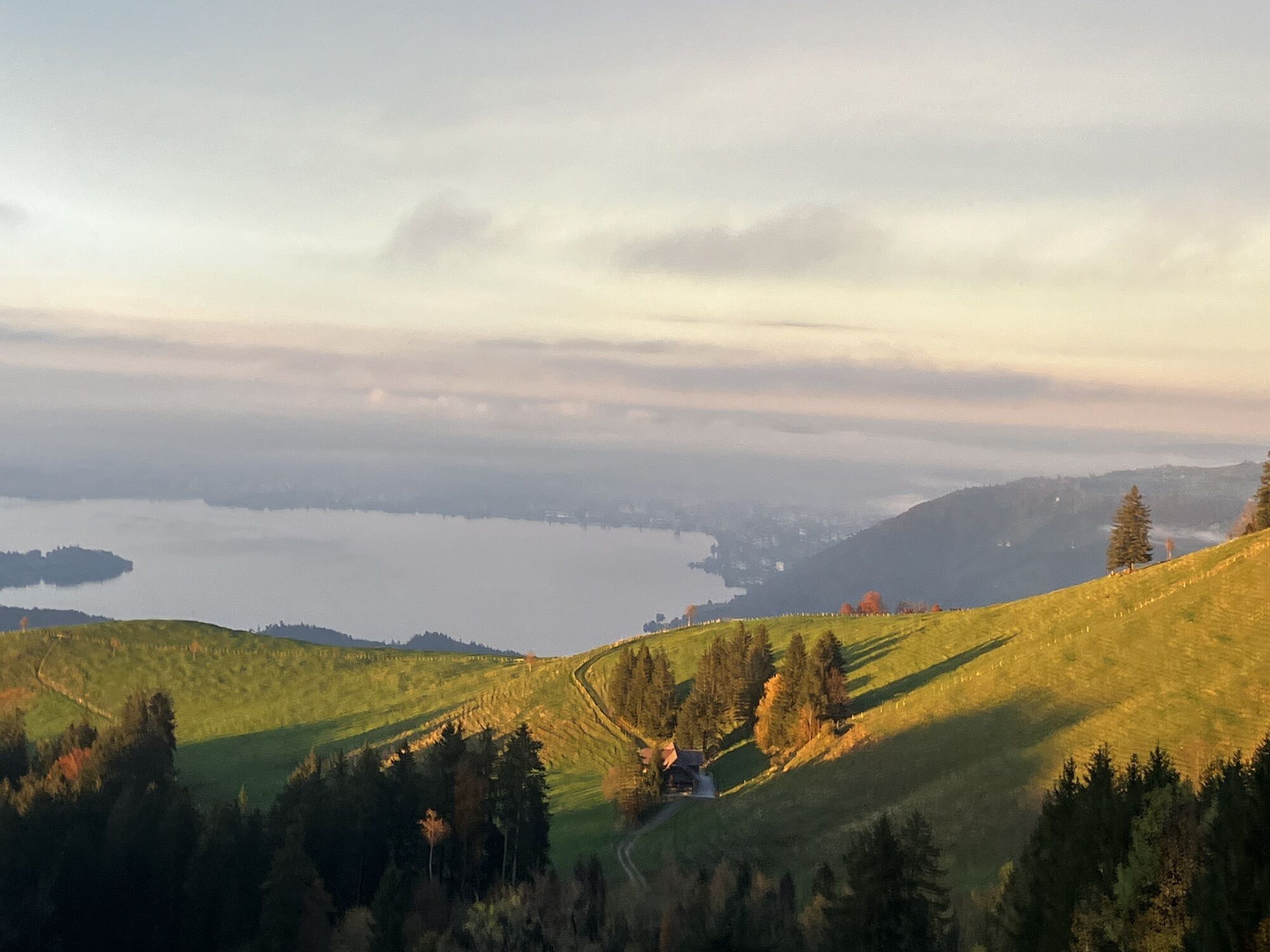
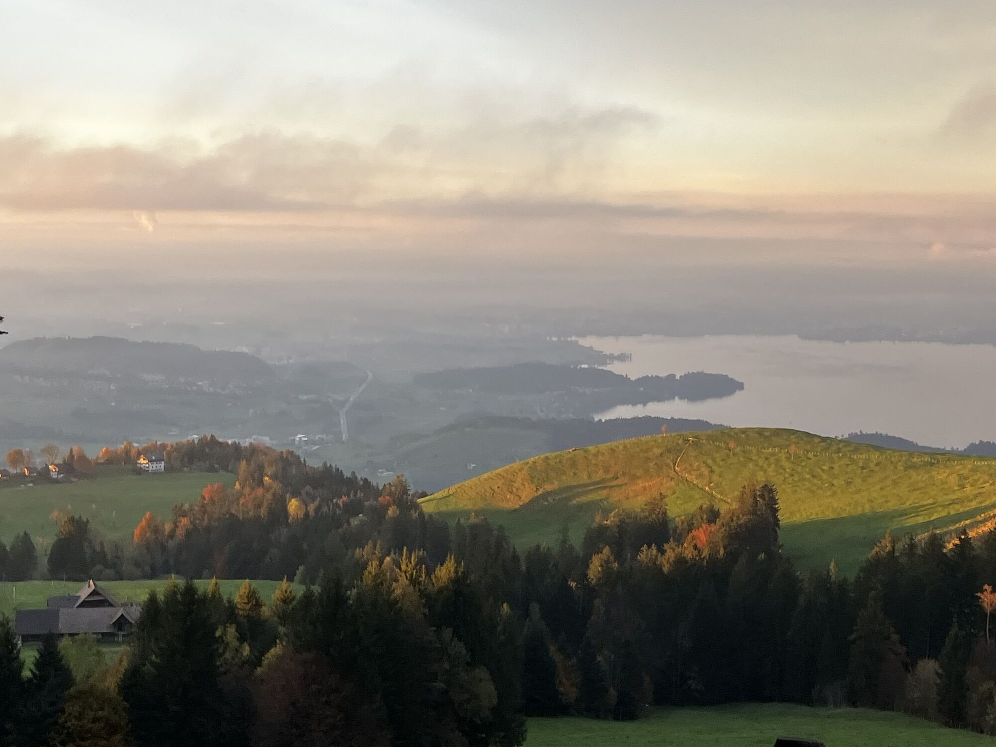
This pleasant descent from the summit of Mt. Rigi is one of the most popular walking trails on the "Queen of the Mountains". It features a captivating view of the Alps and the Swiss plateau, yet isn't excessively strenuous. From Rigi Staffel onwards the path becomes very steep, so your knees and calves will definitely get a workout. Back in 1868, this route was even completed by Queen Victoria of England – albeit on horseback. Needless to say, you will have earned a well-deserved break by the time you reach Seebodenalp, before you catch an aerial cable car back down to Küssnacht.
For your information
In order to let our next generation also could enjoy the beauty of the Rigi, we would like to ask you to dispose of your own waste in the waste bins which are located at all of the stations of RIGI BAHNEN AG. Thank you.
Rigi Kulm (1748 m) – Rigi Staffel (1604 m) – Holderen (1116 m) – Seebodenalp (1020 m)
Festes Schuhwerk und dem Wetter angepasste Kleidung empfohlen.
Vitznau: A4 exit Küssnacht am Rigi, follow the signs to Vitznau
Goldau: A4 exit Goldau, follow the signs to the open air parking lot A4 of RIGI BAHNEN AG
Good accessible by train and bus
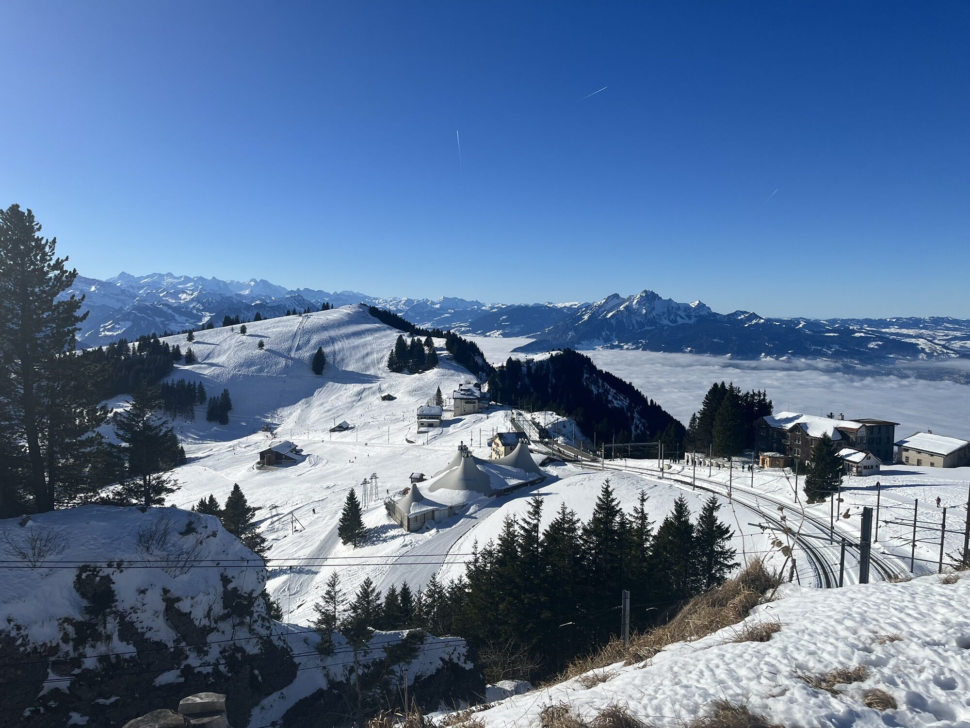
Rigi Kulm, the starting point of the hike, can be easily reached via Vitznau or Goldau with the cogwheel railway.
There are plenty parking spaces avaliable at the valley stations. Fees apply.
However, we recommend public transport instead of cars: lean back, be stress-free and do something good for the environment.
Gönnen Sie sich auf der lieblichen Seebodenalp eine Verschnaufpause, bevor es danach per Luftseilbahn runter nach Küssnacht geht.


Beliebte Touren in der Nähe
- 3,9
Rundweg Seebodenalp Küssnacht am Rigi, Schweiz
mittelWanderung 9,56 km - 4,4
Seebodenalp Panoramaweg
leichtWanderung 5,25 km - 3,9
Gnipen - ab Goldau - Rundwanderung
mittelWanderung 10,6 km - 4,8
Rigi Kulm von Vitznau aus
mittelWanderung 17,6 km - 4,7
Wildspitz bei Sattel-Aegeri
leichtWanderung 12,9 km - 4,8
Home-Rigi Kulm-Home
mittelWanderung 18,6 km - 5,0
Zugerberg - via Blasenberg - Rundwanderung
leichtWanderung 9,44 km - 5,0
Kleine Rigi Runde🥾🏔
mittelWanderung 14,0 km - 5,0
Emmetten/Niederbauen - Niederbauen Chulm - Hundschopf - Fulberg - Oberbauenstock - Zingel - Wandeli - Choltal - Emmetten
mittelWanderung 18,4 km - 3,5
Logenplatz über dem Vierwaldstädter See
mittelKlettersteig 8,87 km
Wandern & Tracking


Verpasse keine Angebote und Inspirationen für deinen nächsten Urlaub
Deine E-Mail-Adresse wurde in den Verteiler eingetragen.