







Right back into the Bisistal Valley

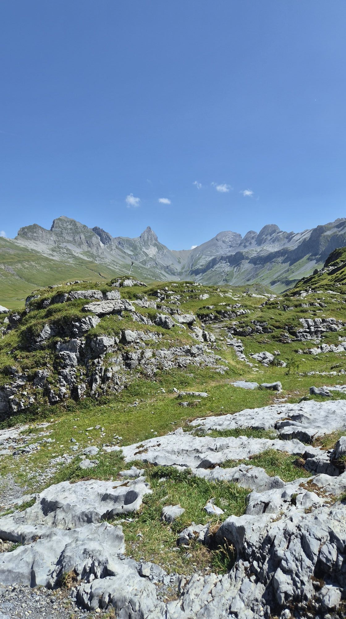
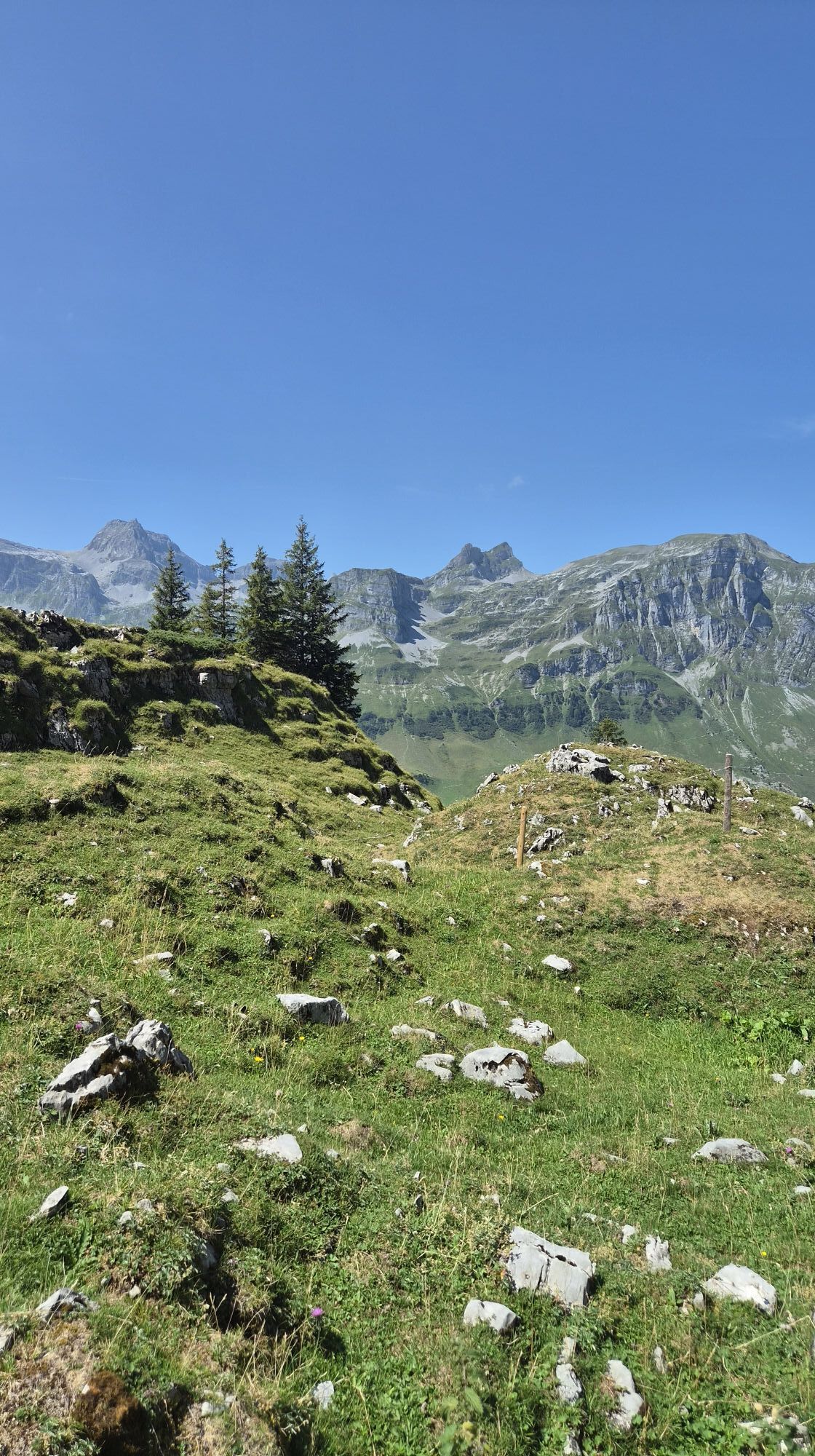
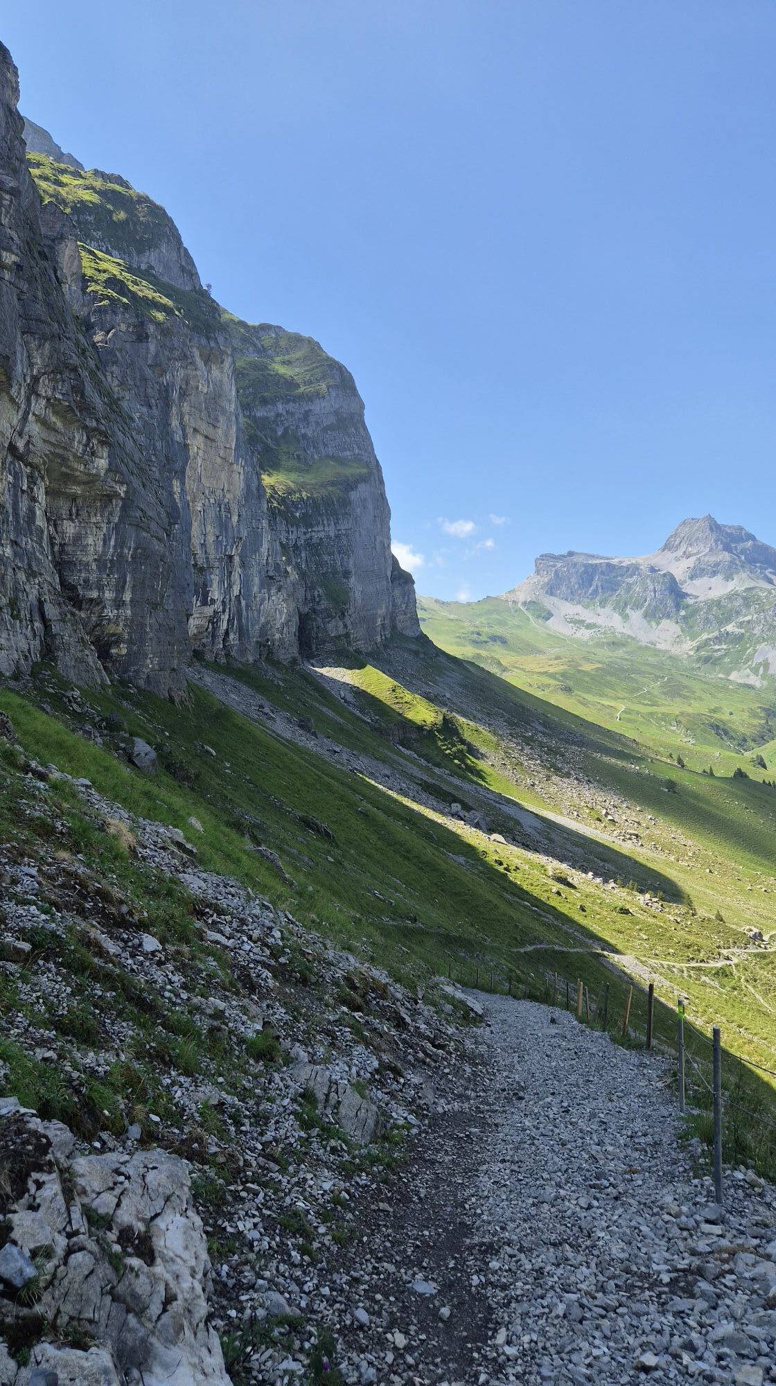
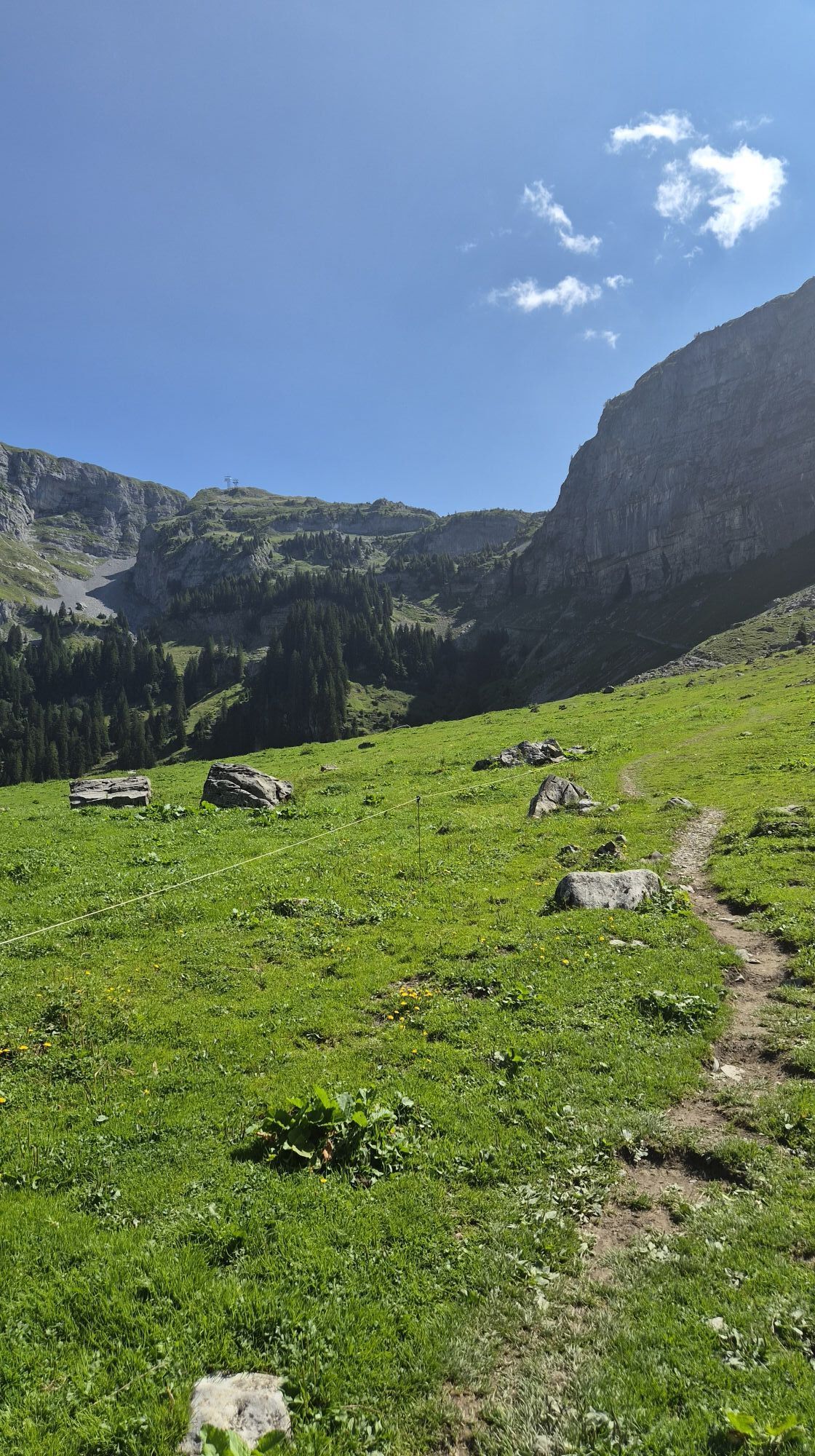
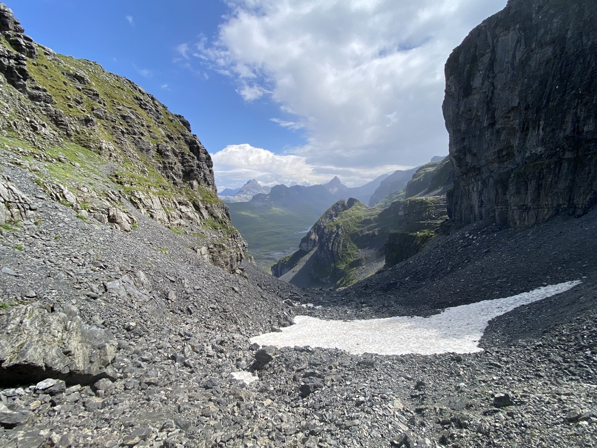
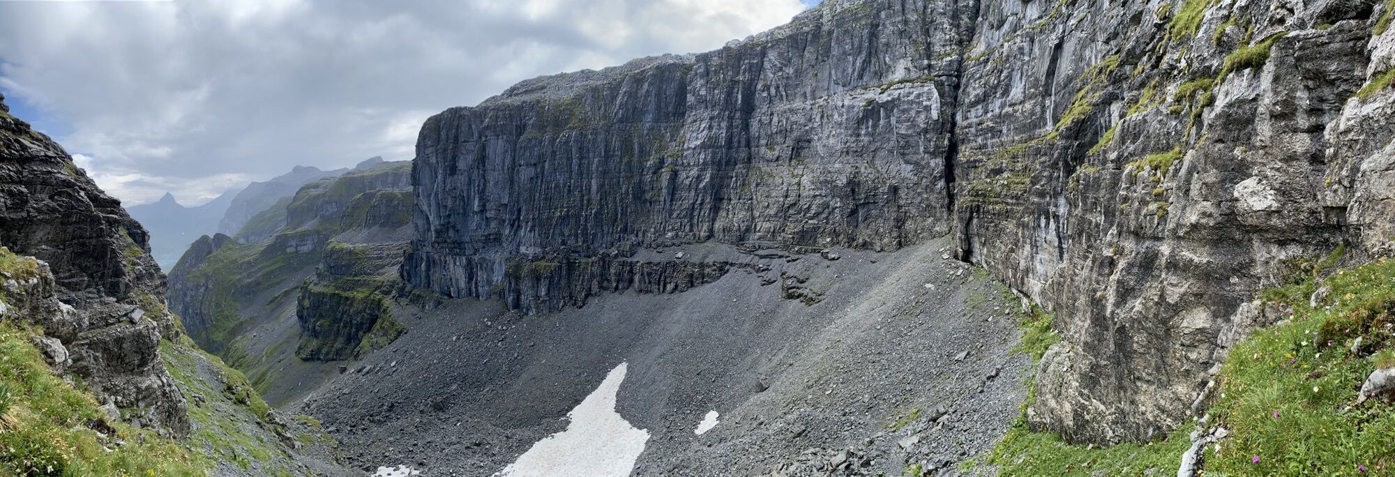
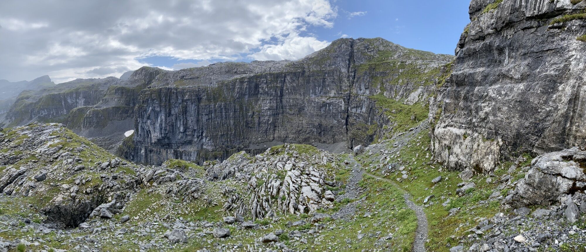
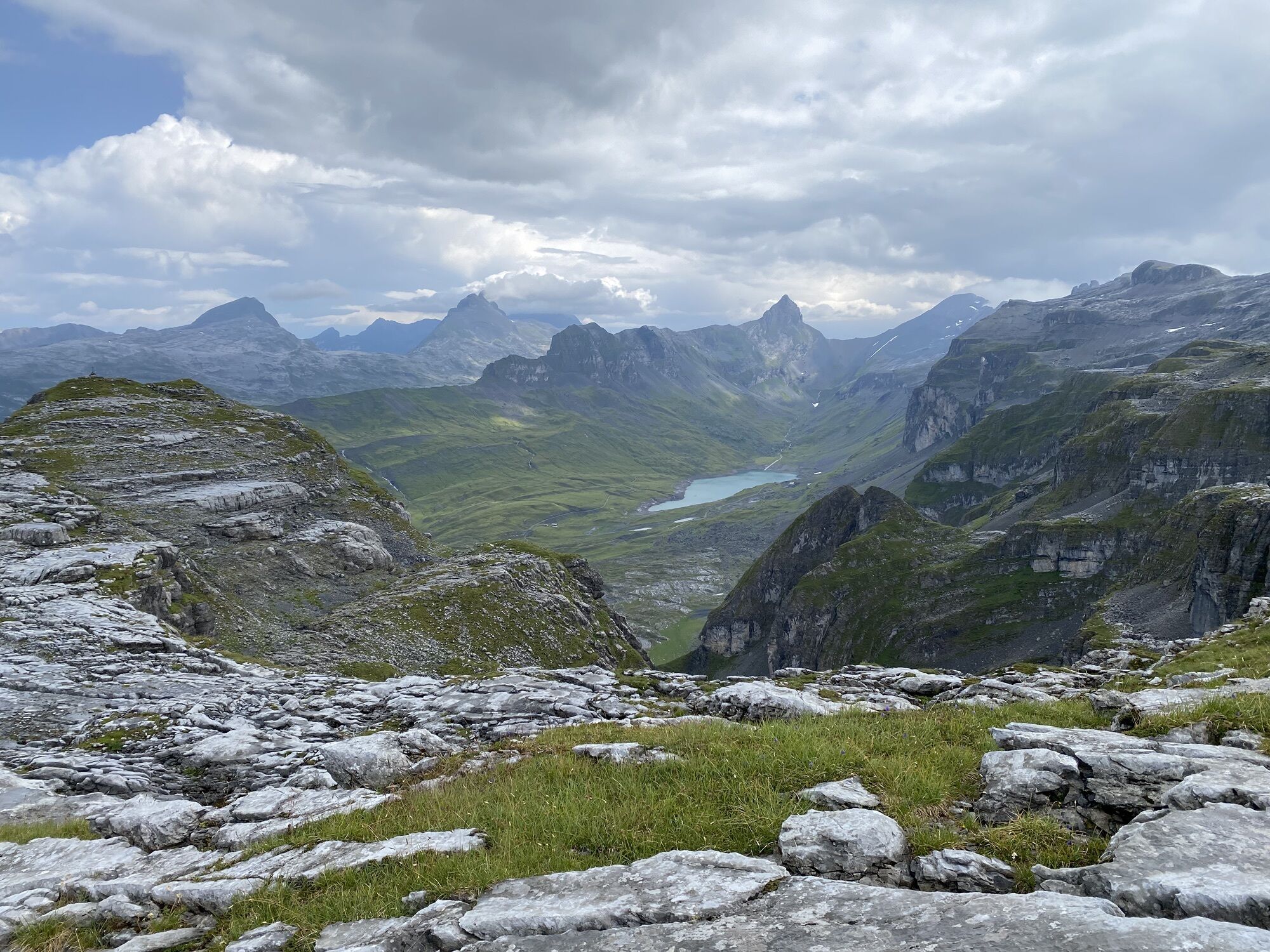
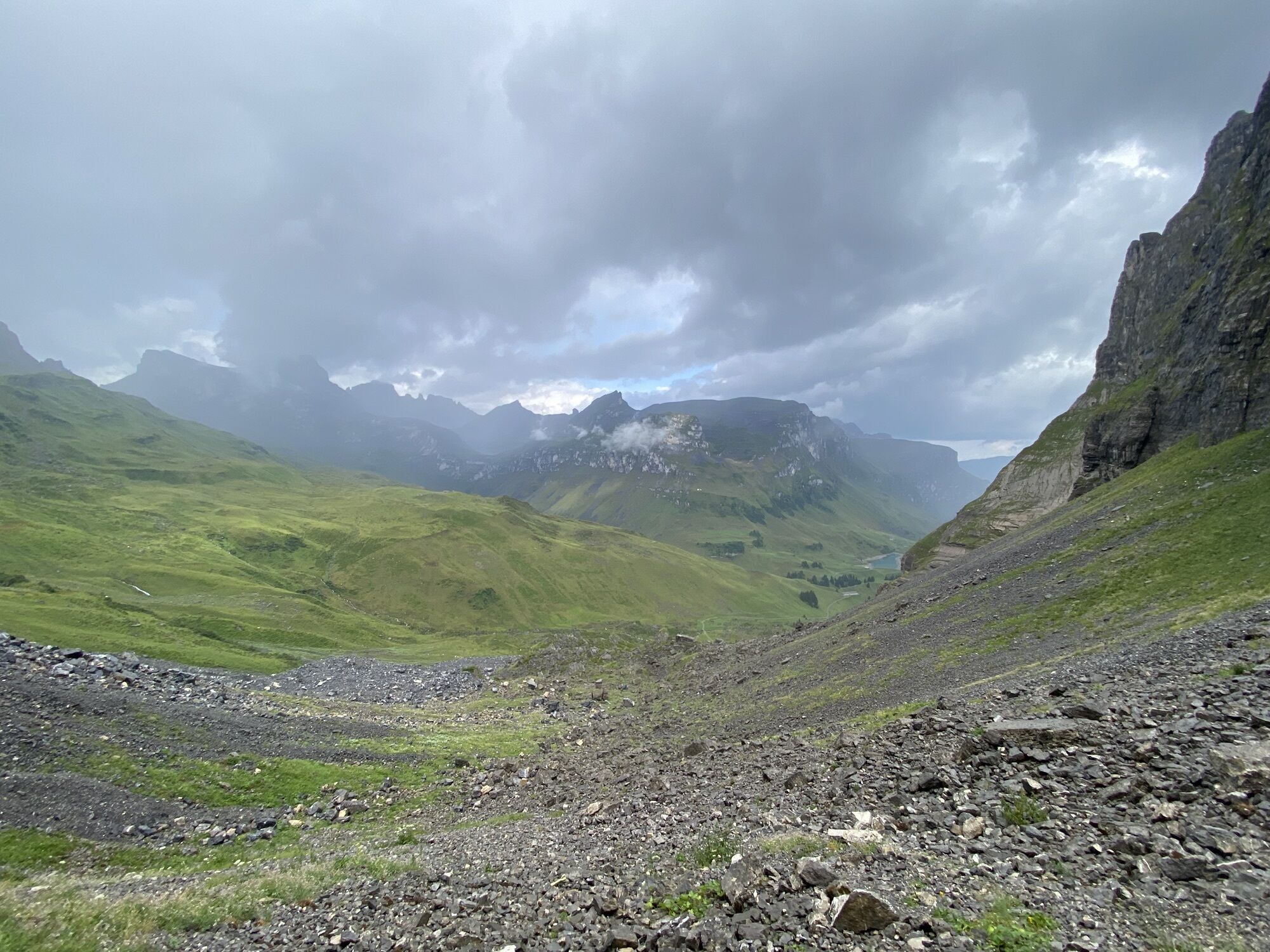
The starting point is the valley station of the Sali - Glattalp cable car. Initially, the trail leads along the natural road towards Ruosalp. At the bridge over the Gwalpetenbach stream, the marked trail...
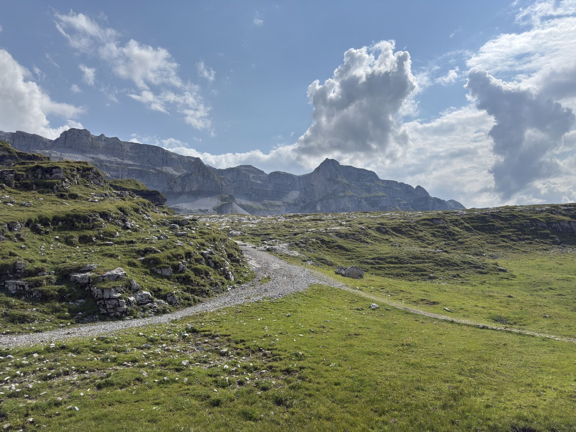
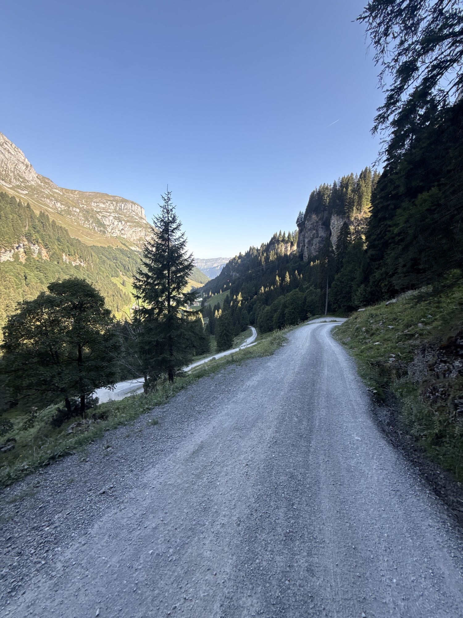
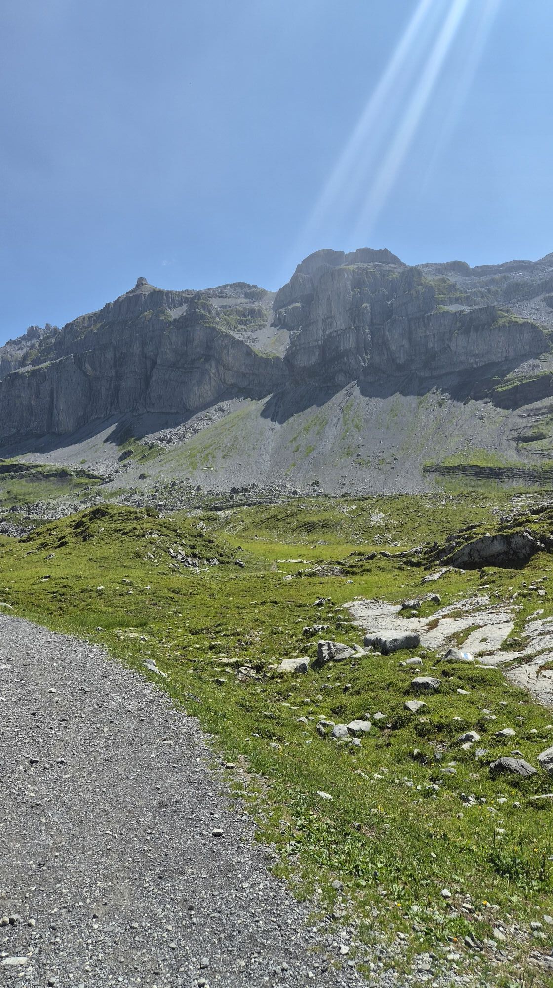
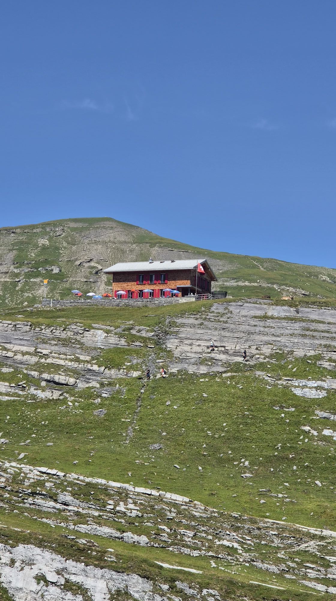
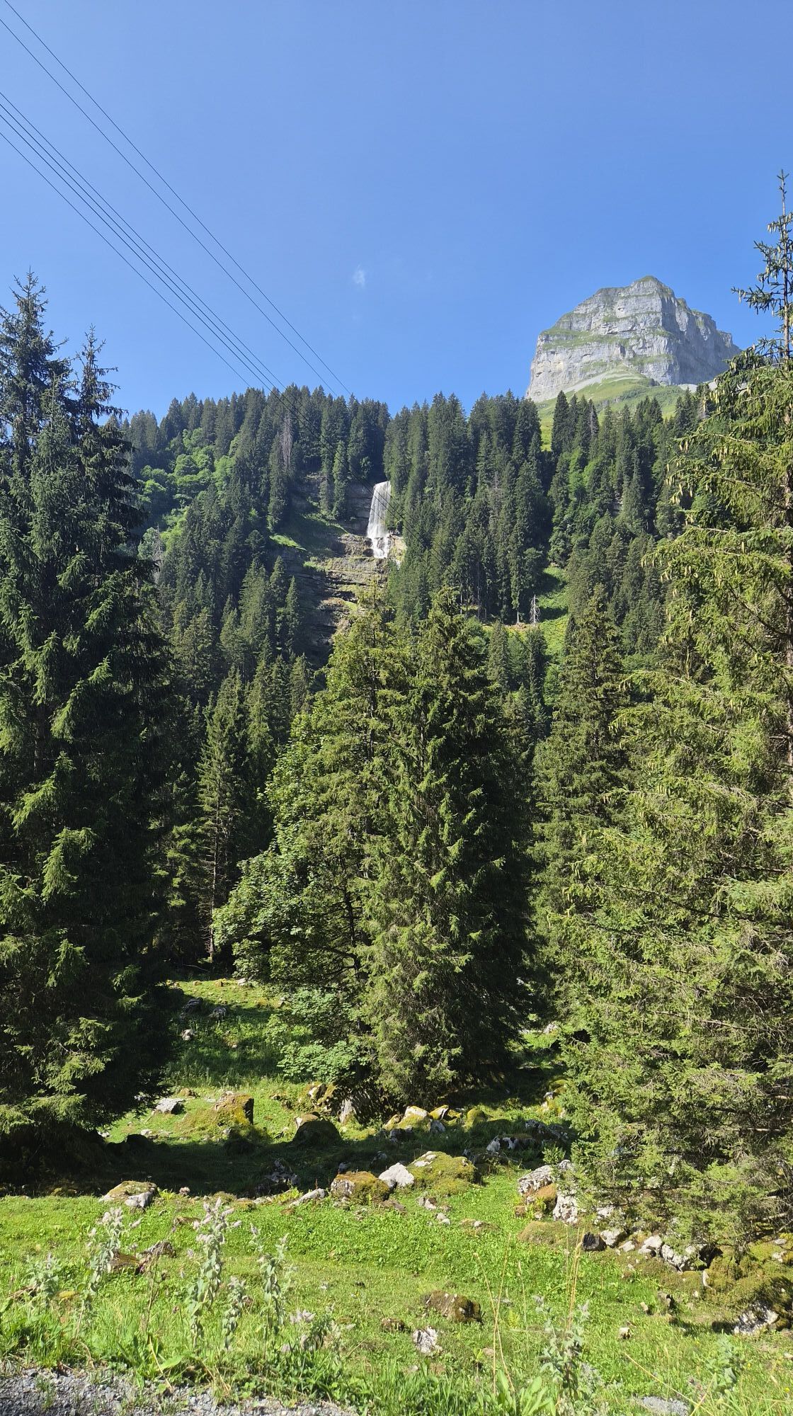
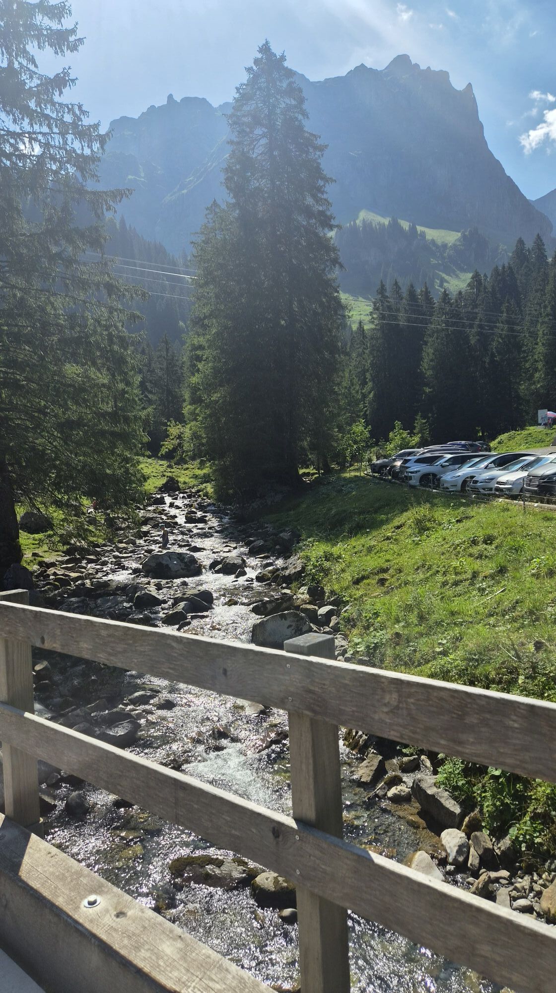
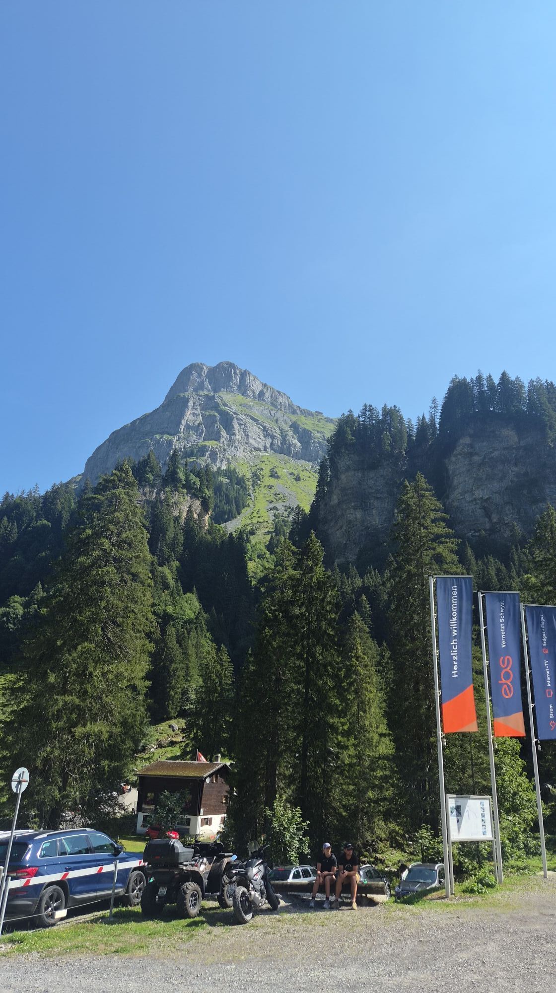
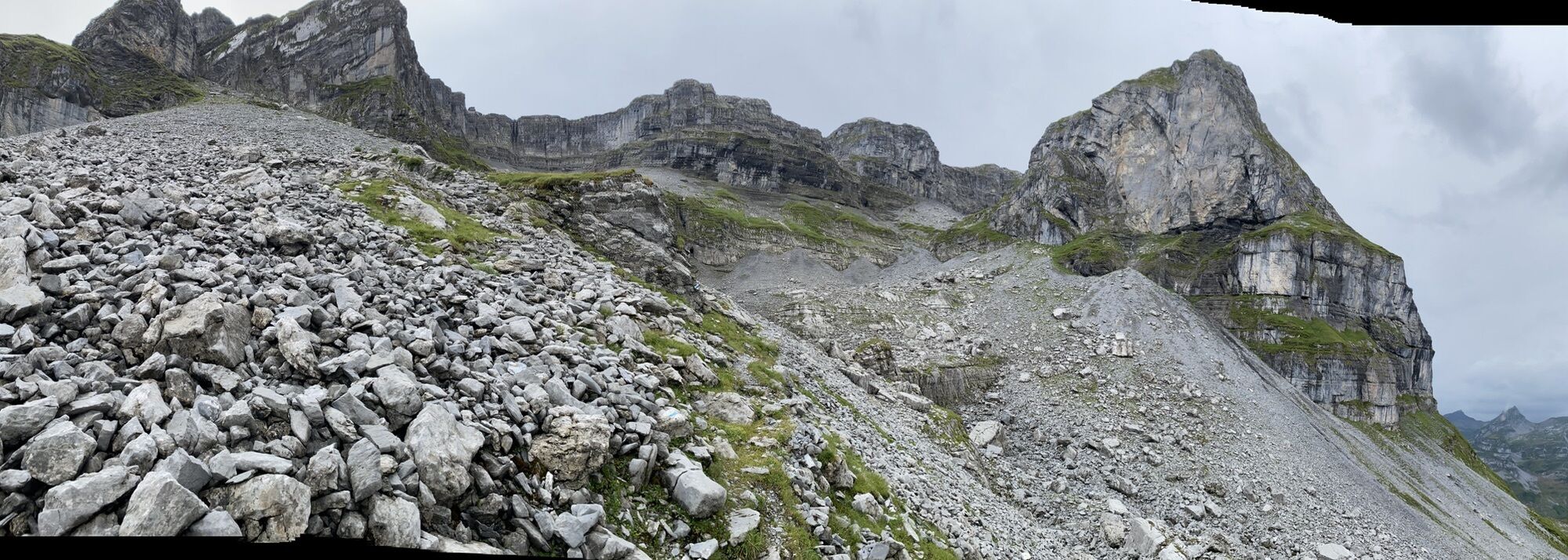
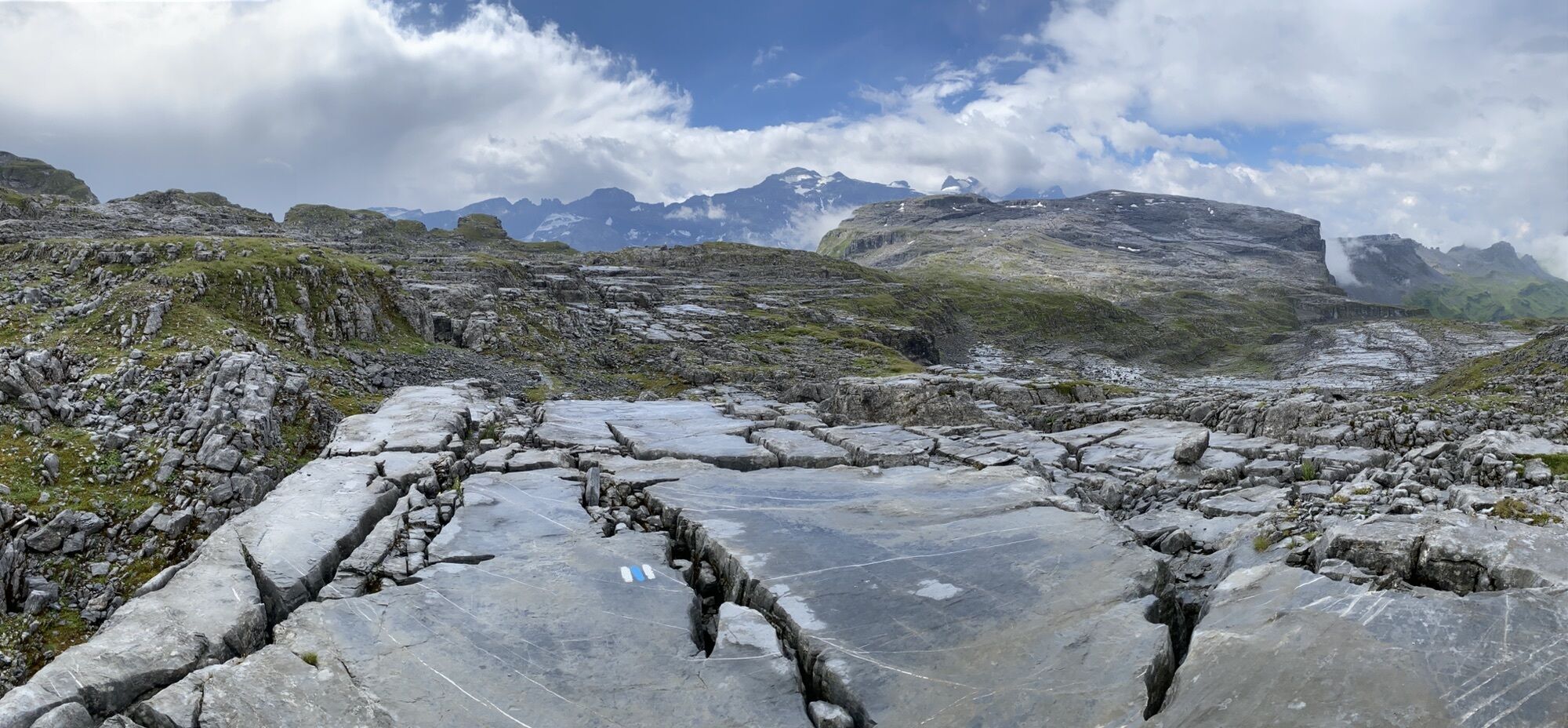
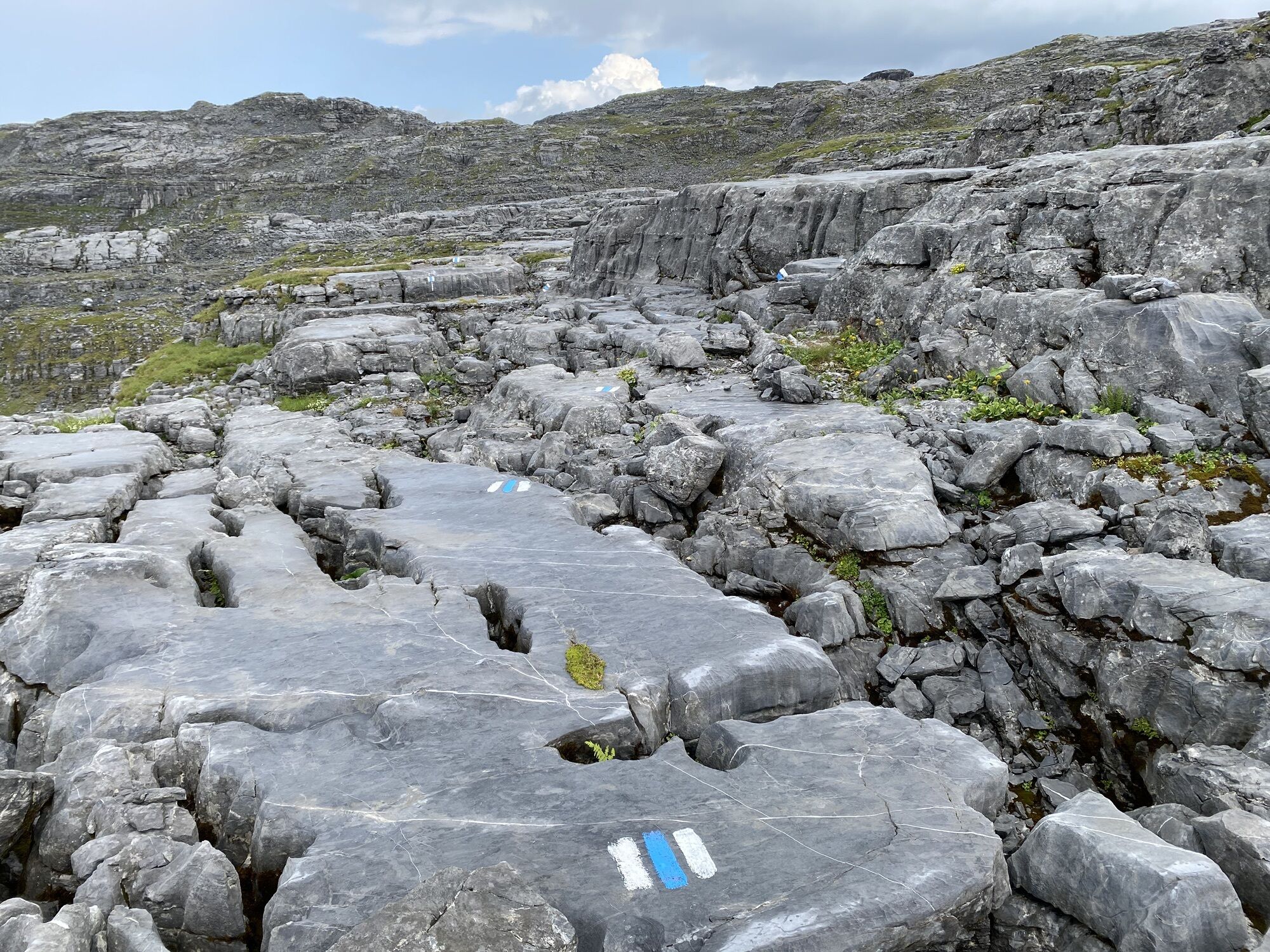
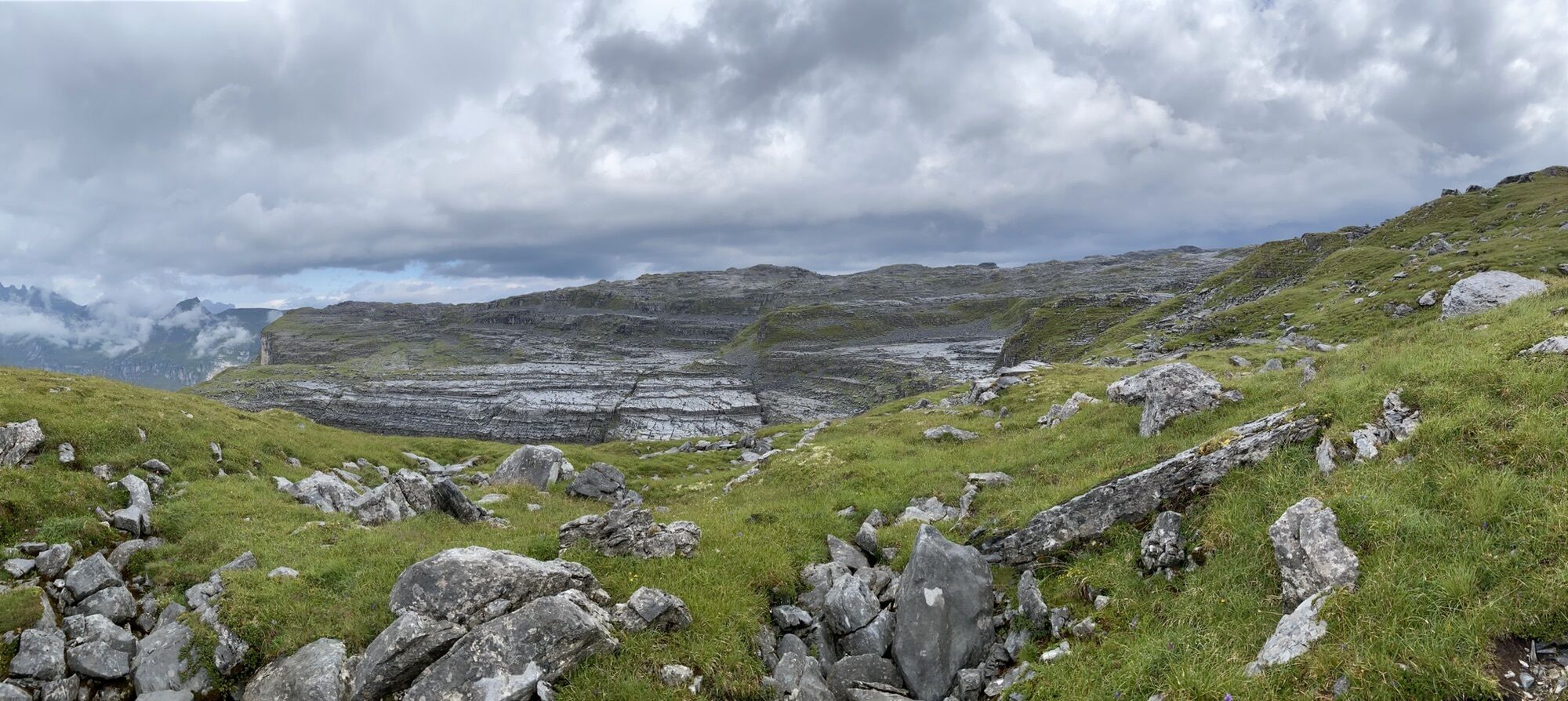
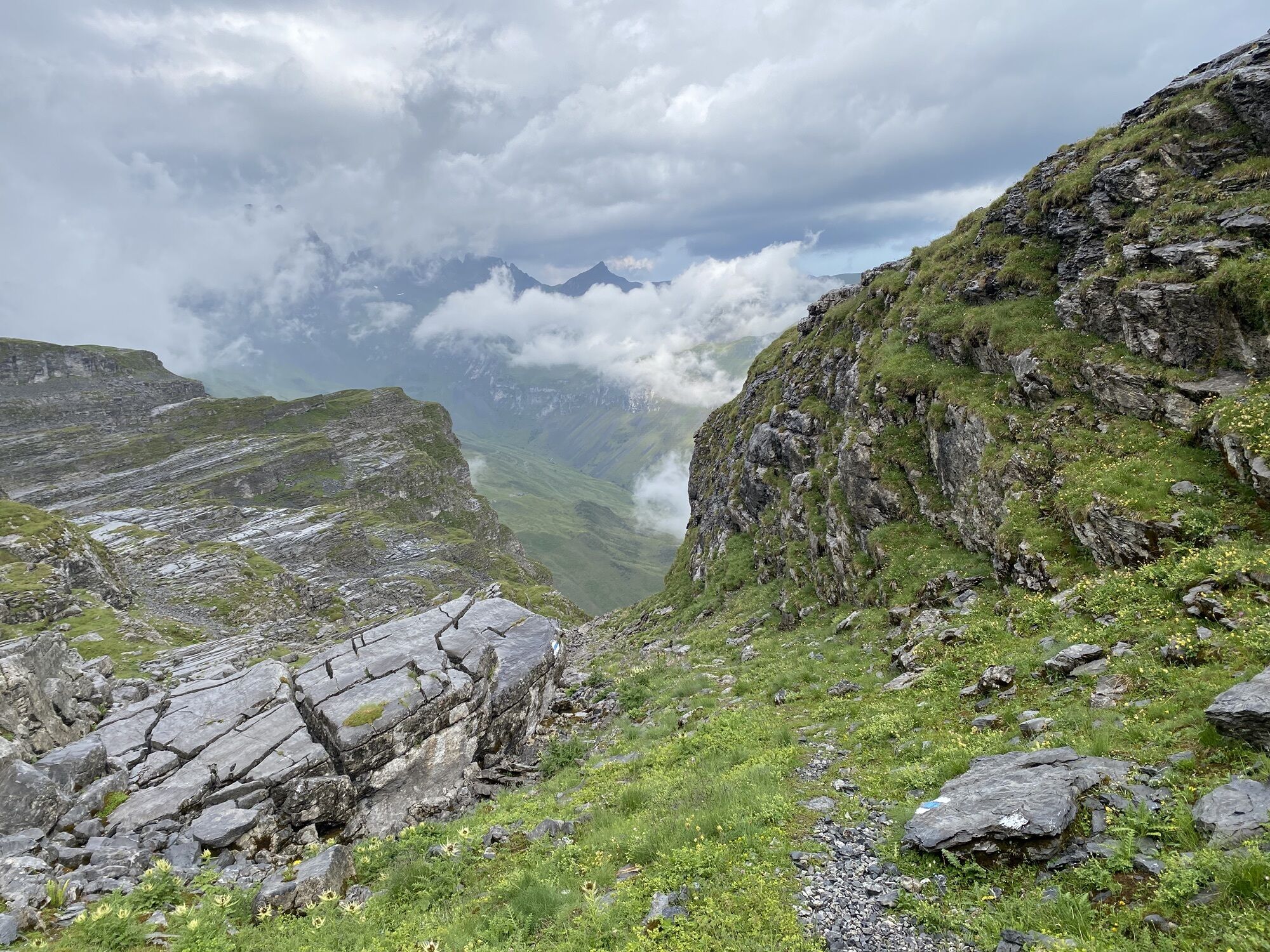
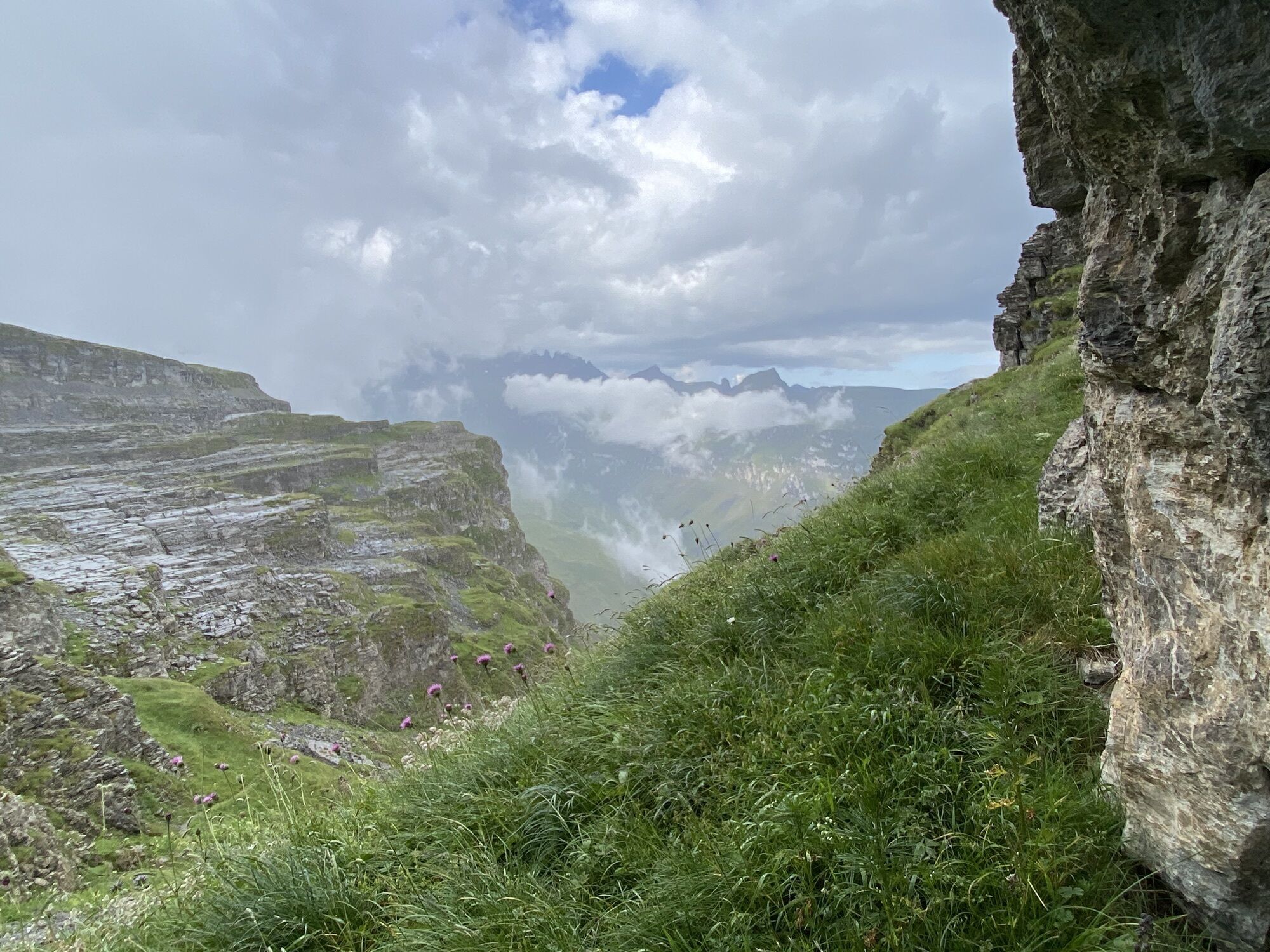
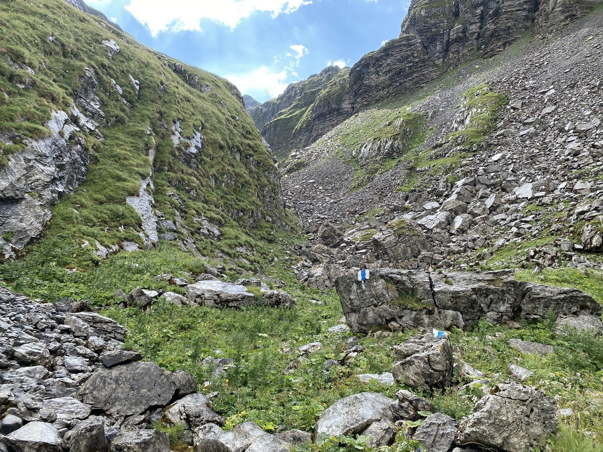
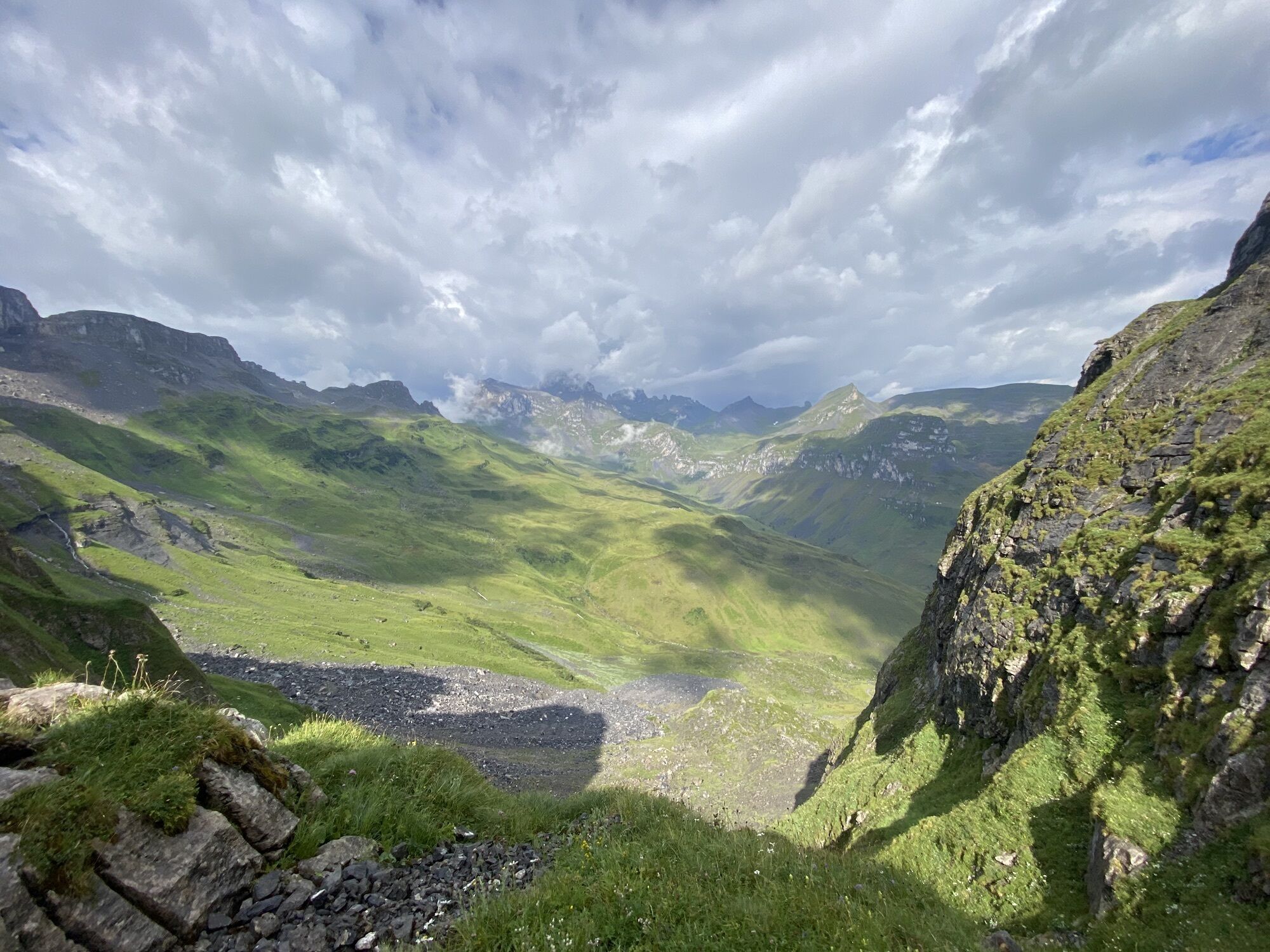
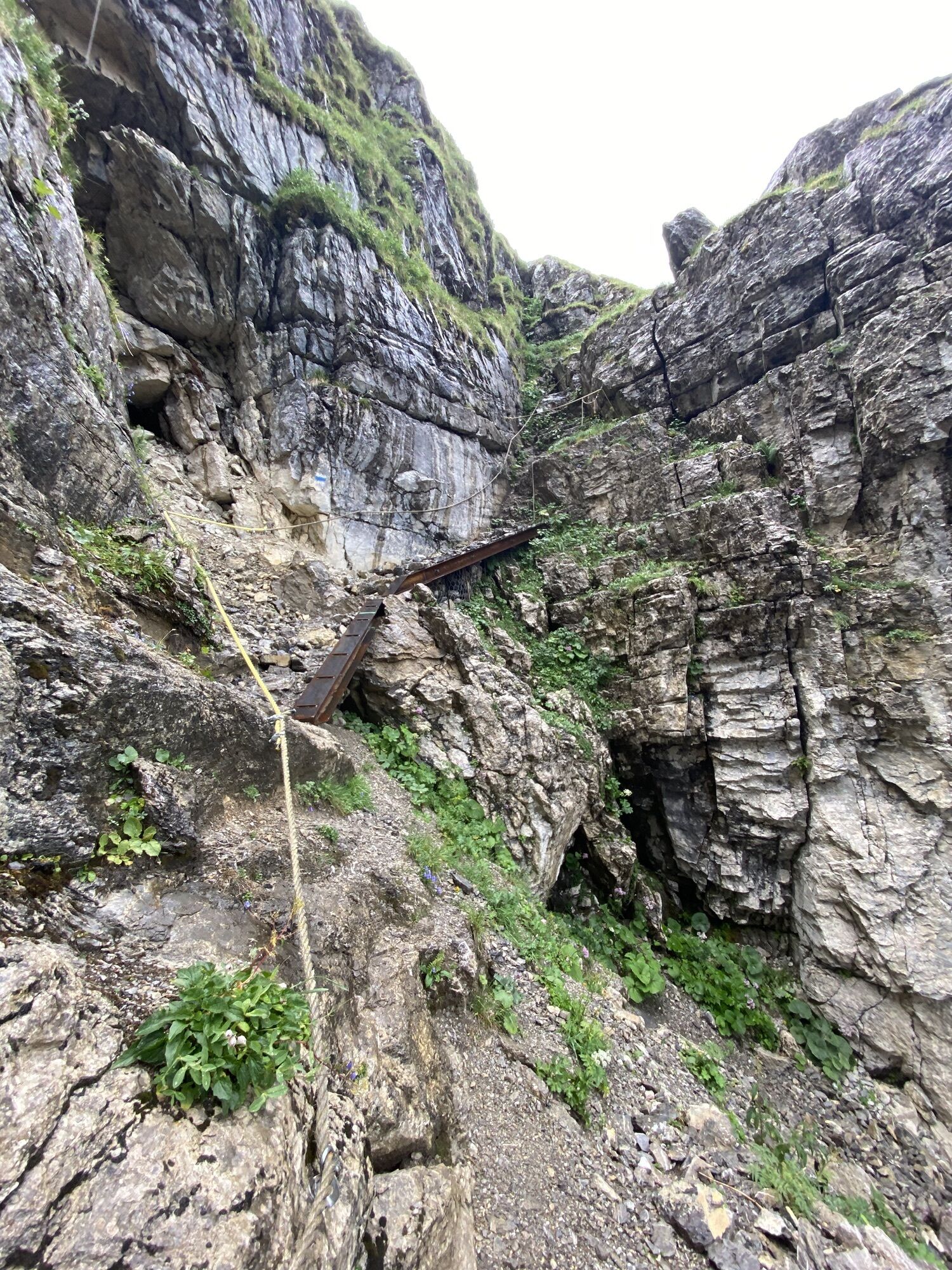
The starting point is the valley station of the Sali - Glattalp cable car. Initially, the trail leads along the natural road towards Ruosalp. At the bridge over the Gwalpetenbach stream, the marked trail leaves the road to the south and reaches the flat alpine floor of Gwalpeten via a steep slope. Cross this to reach the steep "Chälä" (couloir) of the Bockalpeli on the slopes that follow eastwards. You leave the pastureland and climb up into the bizarre, water-washed karst formations. From the Firner Loch, a steep, marked path leads down to the Urner Boden. Towards the north, a seemingly unreal sea of rocks lies before you. Like a captain on the sea, you have to pay attention to your navigation. Because all too soon the markings on the relatively flat Mären plateau are out of sight! At the summit cross of the Mären you enjoy one of the most breathtaking viewpoints of the valley. Now the trail winds steeply through the Inner Brüelchälen and often over snowfields down to the Schafboden. You will soon reach your next destination, the hospitable Glattalp mountain inn or the cosy Glattalphütte of the SAC. If the steep ascents and descents of the tour are too much for your legs, use the cable car for the way back. But the descent on foot also has its charm and is rewarded with the best Muotatal spring water à discretion from the Märenbrunnen rock spring. The hairpin bends down to Sali are easy to master and offer a wonderful view of the Waldibach Falls.

Saliglattalp cable car - Gwalpeten - Firner Loch - Mären - Schafboden - Glattalp - Restaurant Glattalphütte - Saliglattalp cable car
Hiking boots with good profile or trekking shoes.
Coming from Basel-Lucerne:
Coming from Basel-Lucerne:
Continue on the A14 from Lucerne in the direction of Zug. After 20 km, you will come to the Rütihof intersection. There you take the A4 motorway in the direction of Schwyz. Take the Schwyz exit and follow the signs in the direction of Muotathal.
Coming from Lake Constance and Rapperswil:
At Rapperswil, drive in the direction of Pfäffikon / Gotthard. At Pfäffikon, drive a short distance on the A3 motorway in the direction of Gotthard. Then take the first exit in the direction of Gotthard / Schwyz. The road will take you to Schwyz via Rothenthurm and Sattel. At Schwyz, drive towards Muotathal.
Coming from Gotthard-Altdorf:
Take the bypass (tunnel) in Flüelen in the direction of Schwyz. After the Mosi Tunnel, leave the motorway at Exit 40 Brunnen (in the direction of Weggis/Gersau/Schwyz/Brunnen). Drive in the direction of Ibach/Schwyz and at the 2nd roundabout in Ibach (by Dany's Family Restaurant), take the 1st exit towards Muotathal.
Muotathal is located in the heart of Central Switzerland. It can be reached by public transport via the Auto AG Schwyz No. 501 bus from the SBB train station in Schwyz.The route between Muotathal Post and the Sahli/Glattalpbahn base station is served by the No. 506 minibus. Travel times and more information about the hiking bus can be found here.


Beliebte Touren in der Nähe
-
5,0
Kalktrittli - Nüschentäli - Muttsee - Obersee - Muttenchopf - Mörtel - Limmerensee - Kalktrittli (durch Stollen)
mittelWanderung 14,8 km -
4,7
Rhodannenberg - Vorder Ruestelchopf - Vorauen - Steppel
Wanderung 13,6 km -
4,7
Klöntalersee
leichtWanderung 14,5 km -
2,8
Braunwald - Oberblegisee - Luchsingen oder Schwanden
mittelWanderung 16,1 km -
3,7
Braunwald
mittelKlettersteig 11,4 km -
4,5
Bergwirtschaft Sali-Alp - Glattalphütte - Berggasthaus Glattalp - Sahli (Luftseilbahn Glattalp)
mittelWanderung 13,4 km -
4,7
Chämistube - Grotzenbühl - Berggasthaus Gumen - Ortstockhaus
leichtWanderung 9,25 km -
5,0
Chaiserstock Wanderung, einmaliges Panorama
mittelWanderung 8,67 km -
4,3
Roggenstock Skitour
leichtSkitour 6,17 km -
2,0
Ibergeregg - Laucherenkapelle
leichtWanderung 8,70 km
Wandern & Tracking


Verpasse keine Angebote und Inspirationen für deinen nächsten Urlaub
Deine E-Mail-Adresse wurde in den Verteiler eingetragen.





