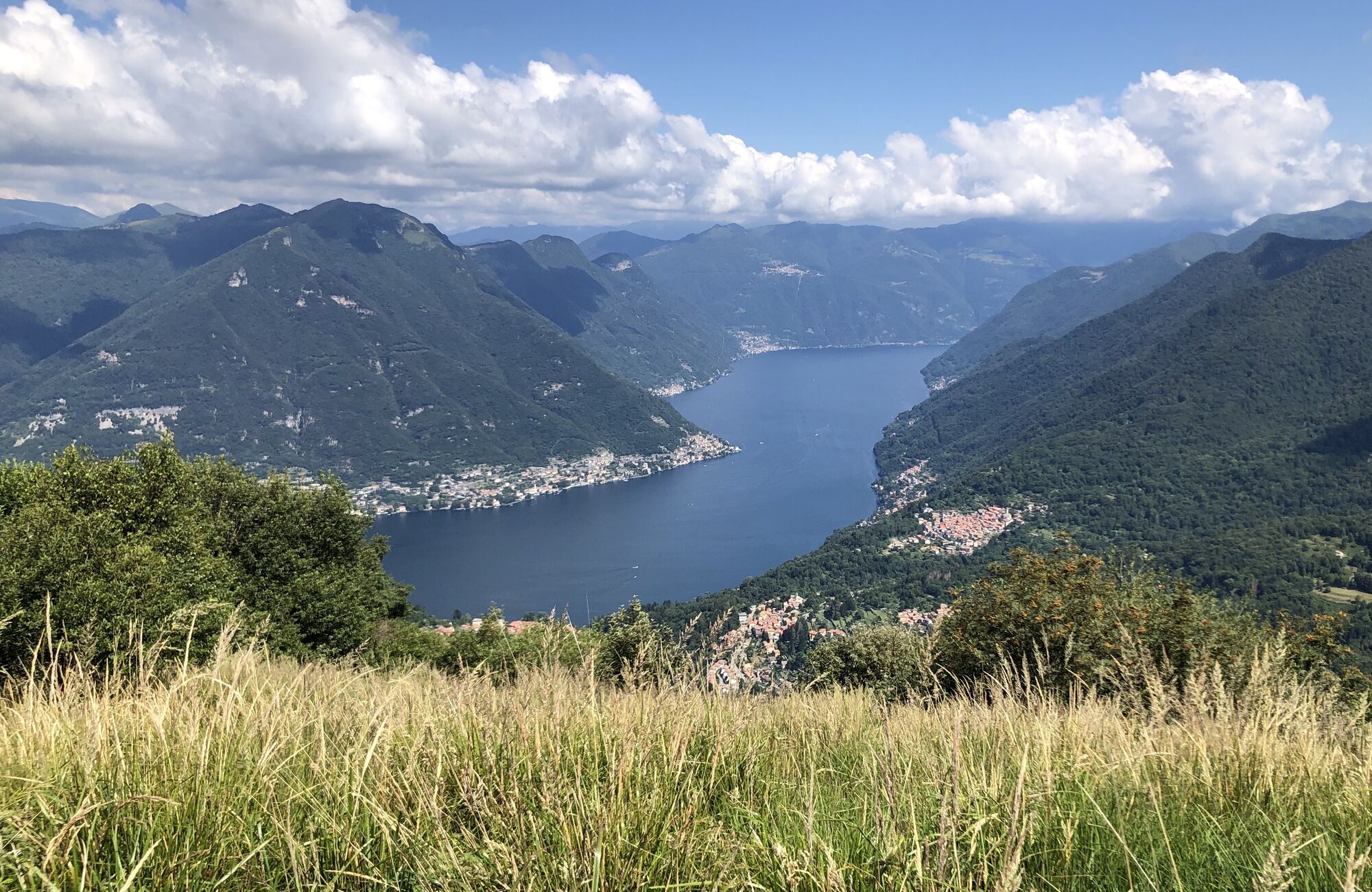
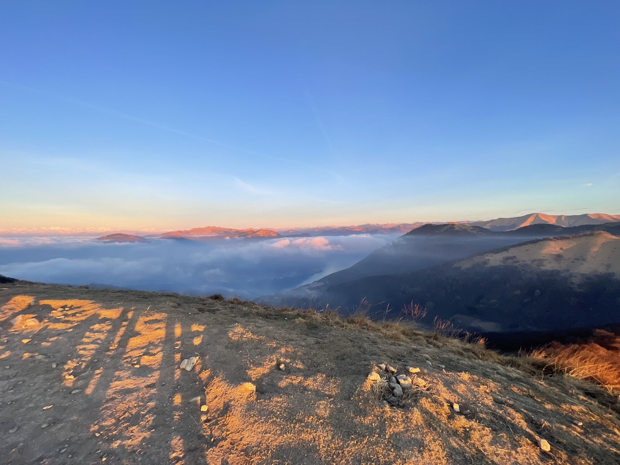
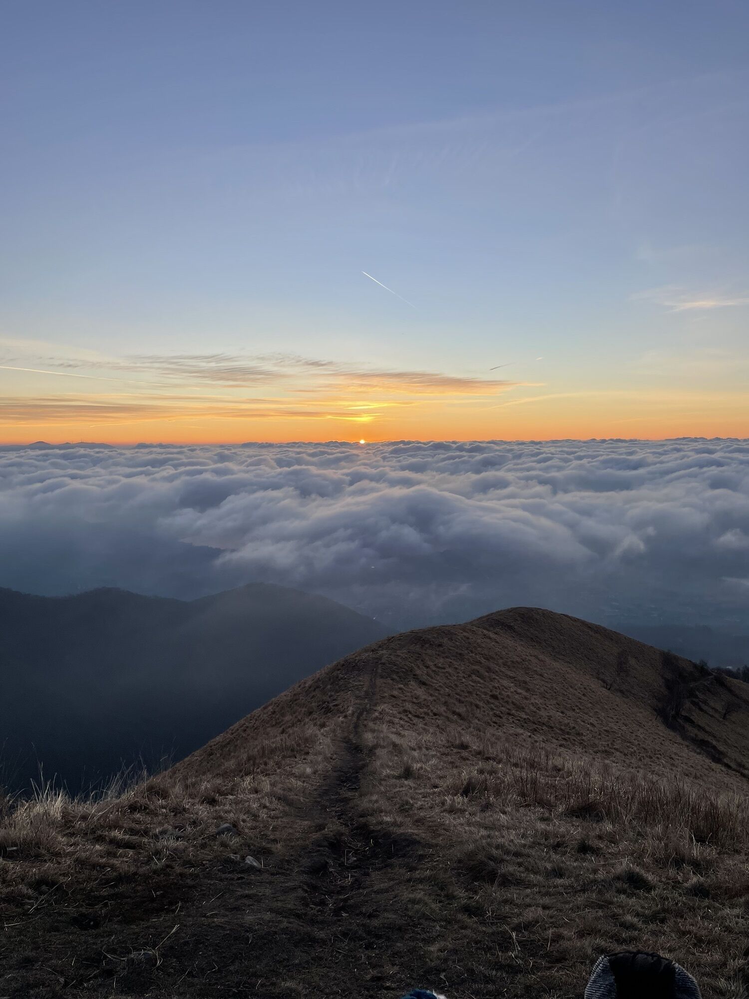
Baita Carla - Monte Boletto - Monte Bolettone - Como
mittel
Hol diese Tour auf dein Handy
Baita Carla - Monte Boletto - Monte Bolettone - Como
mittel
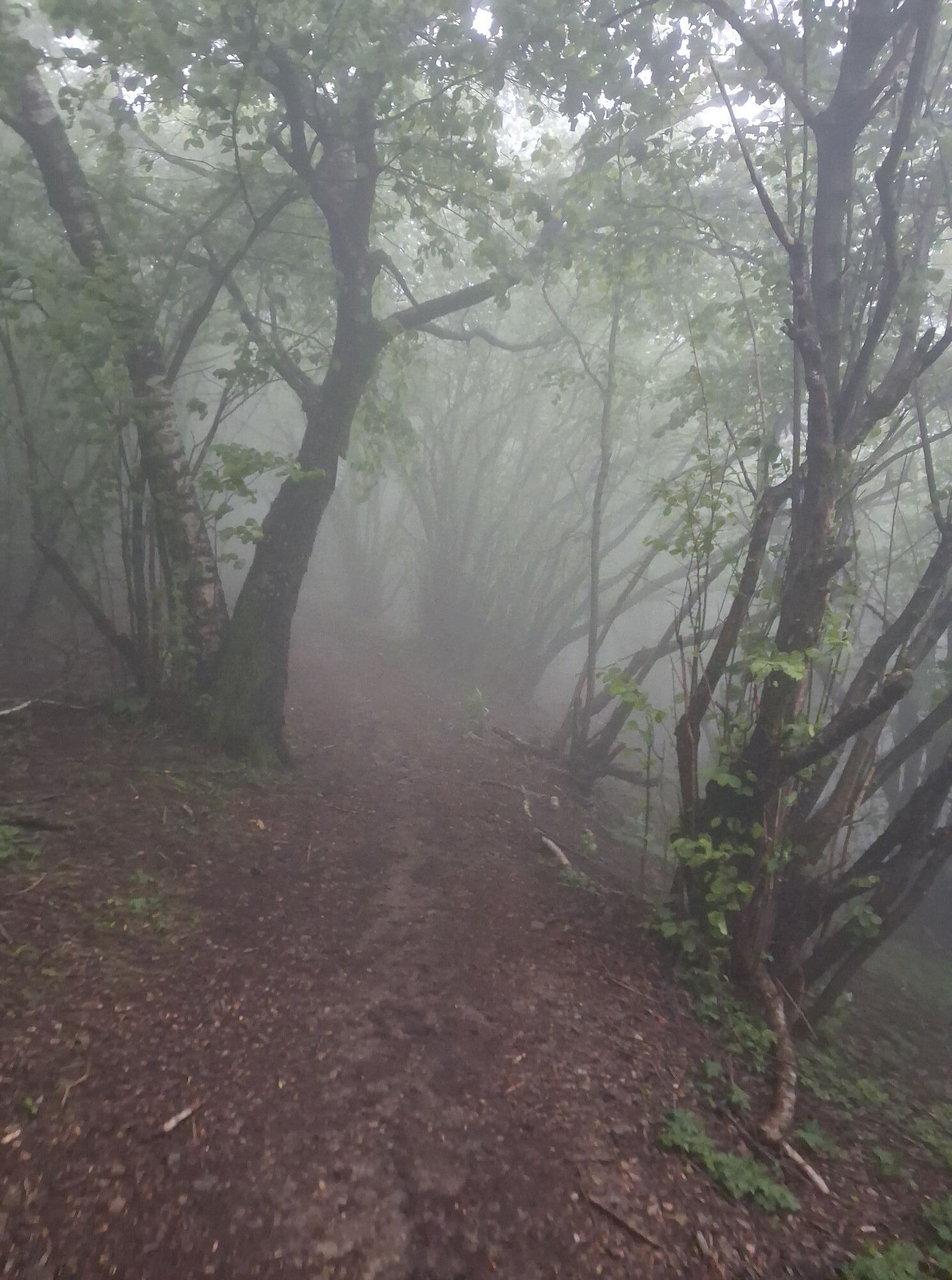
Wanderung
15,32
km
QR-Code scannen und Navigation in der bergfex App beginnen

Wandern & Tracking


Baita Carla - Monte Boletto - Monte Bolettone - Como
mittel
Distanz
15,32
km
Dauer
04:35
h
Aufstieg
691
hm
Seehöhe
956 -
1.315
m
Track-Download
Baita Carla - Monte Boletto - Monte Bolettone - Como
mittel
Wanderung
15,32
km
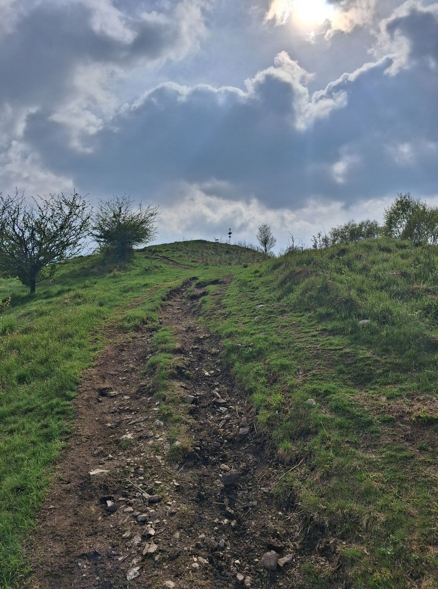
Wegverlauf
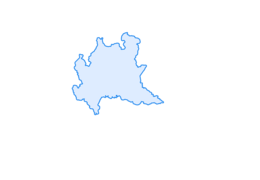
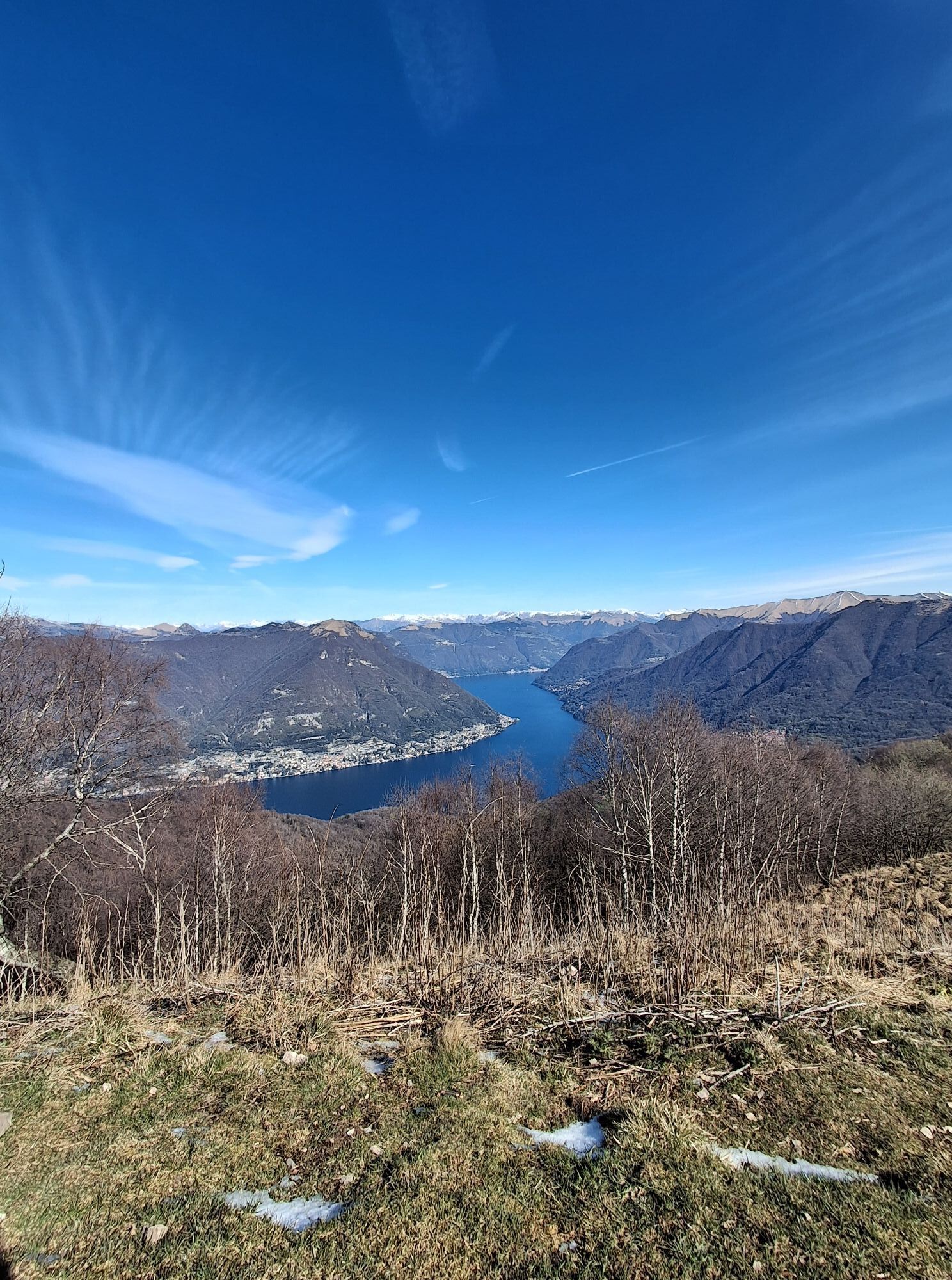
Como
(200 m)
Stadt
0,0 km
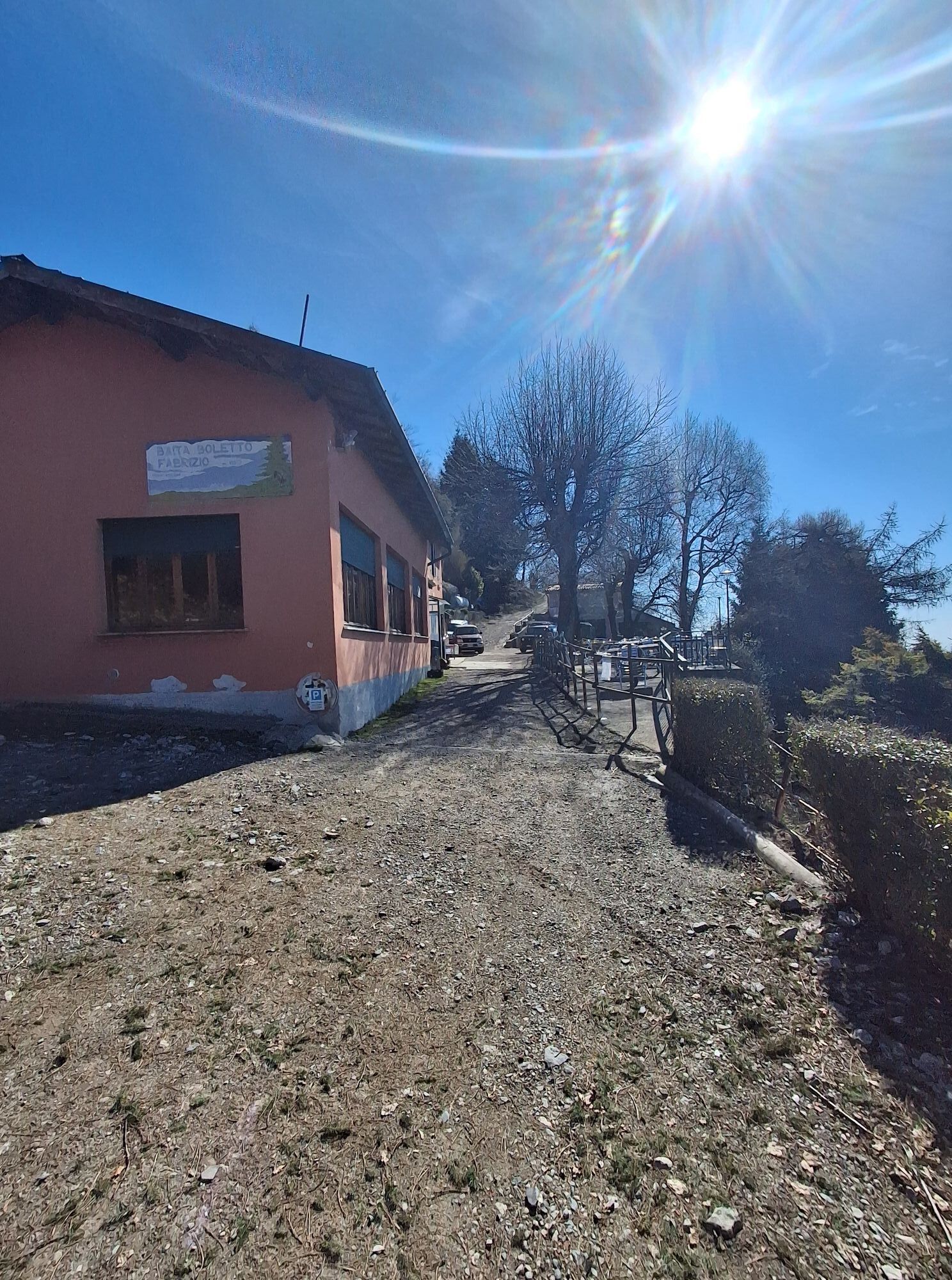
Baita Boletto Fabrizio
(1.148 m)
Restaurant
2,0 km
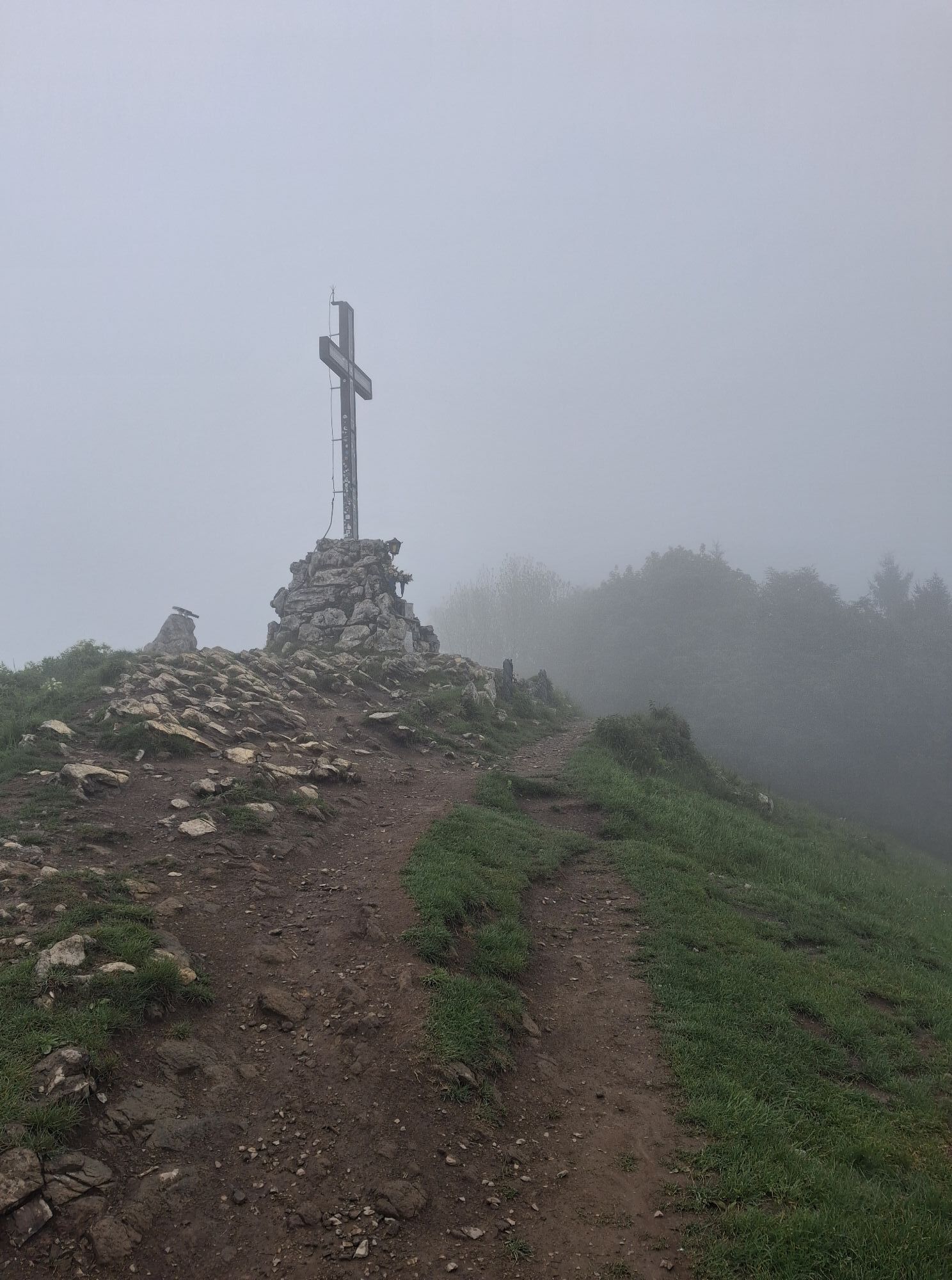
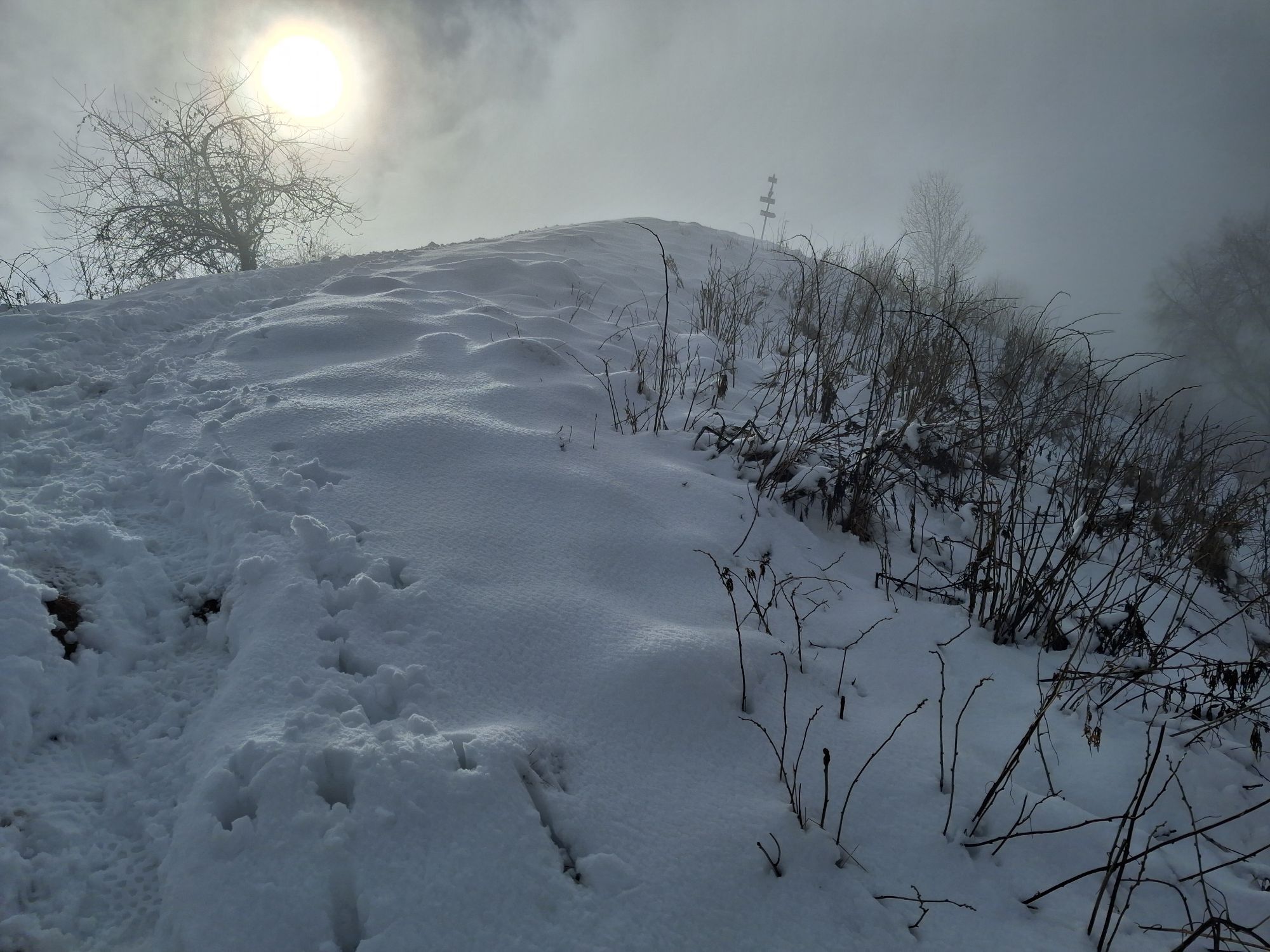
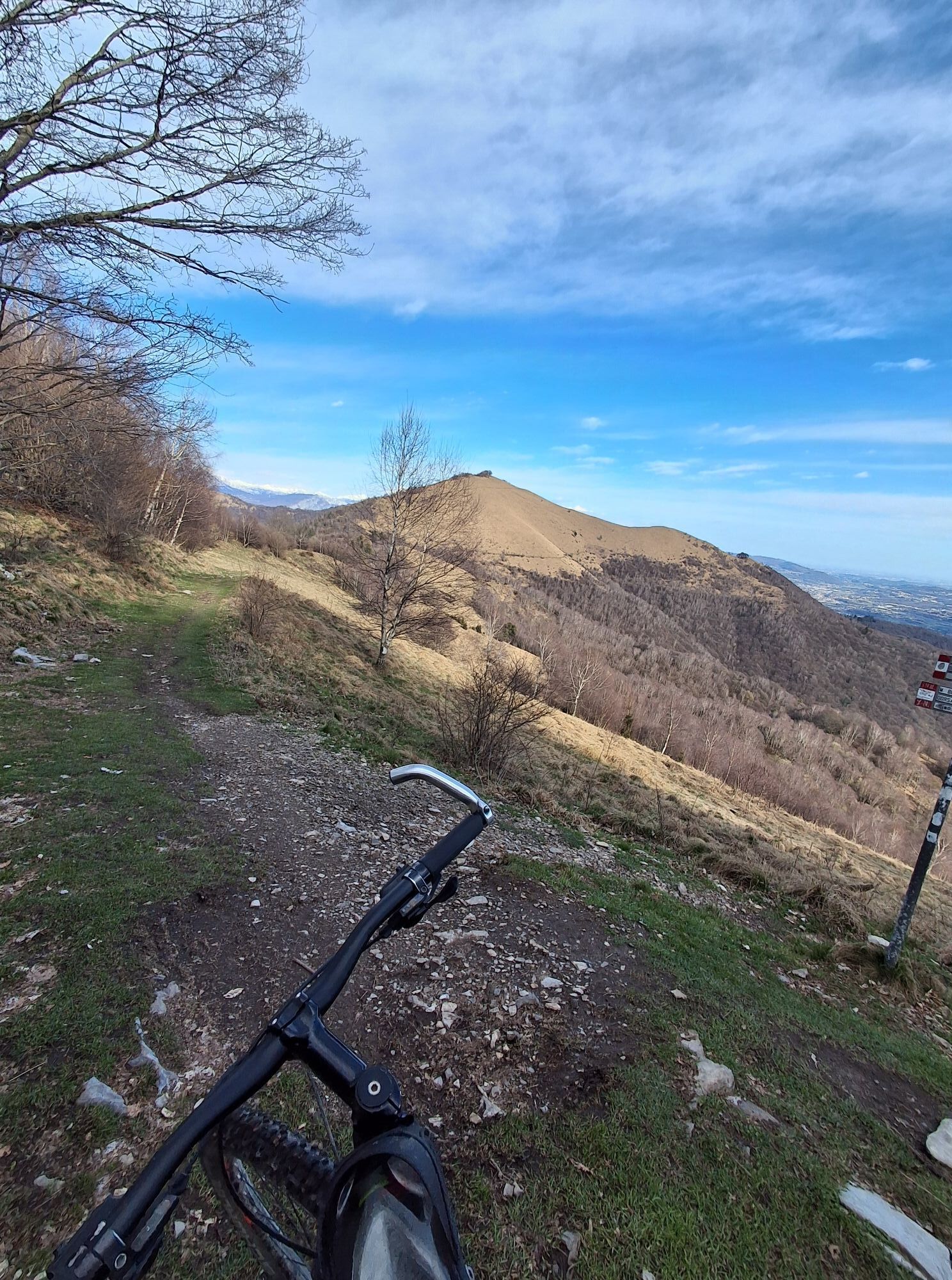
Monte Boletto
(1.238 m)
Gipfel
2,6 km
Monte Bolettone
(1.318 m)
Gipfel
5,8 km
Monte Boletto
(1.238 m)
Gipfel
12,3 km
Monte Uccellera
(1.026 m)
Gipfel
15,1 km
Como
(200 m)
Stadt
15,3 km
Wegverlauf
Baita Carla - Monte Boletto - Monte Bolettone - Como
mittel
Wanderung
15,32
km
Baita Carla
(982 m)
Restaurant
0,0 km
Como
(200 m)
Stadt
0,0 km
Baita Bondella
(1.074 m)
Restaurant
1,2 km
Baita Boletto Fabrizio
(1.148 m)
Restaurant
2,0 km
Monte Boletto
(1.238 m)
Gipfel
2,6 km
Dosmat
(1.282 m)
Gipfel
4,9 km
Monte Bolettone
(1.318 m)
Gipfel
5,8 km
Doss da la Mùla
(1.304 m)
Gipfel
6,1 km
Monte Boletto
(1.238 m)
Gipfel
12,3 km
Baita Boletto Fabrizio
(1.148 m)
Restaurant
12,6 km
Baita Bondella
(1.074 m)
Restaurant
13,6 km
Baita Carla
(982 m)
Restaurant
14,7 km
Monte Uccellera
(1.026 m)
Gipfel
15,1 km
CAO
(958 m)
Siedlung
15,3 km
Como
(200 m)
Stadt
15,3 km
Zuletzt getrackt
vor 2 Wochen
Noch keine Bewertungen
Aktivitäten entlang der Tour

Beliebte Touren in der Nähe
- 4,5
Sentiero del Monte Generoso (SchweizMobil 635)
mittelWanderung 9,22 km - 3,0
Bellavista - Monte Generoso
leichtWanderung 2,60 km - 4,8
Triangolo Lariano esplorativo
leichtMountainbike 19,8 km - 5,0
Vetta Monte Generoso - Roncapiano - Muggio
mittelWanderung 6,01 km - 5,0
Vom Restaurant auf den Gipfel (Kulm)
leichtWanderung 0,58 km Scudellate - Erbonne - Alpe Orimento
mittelWanderung 3,58 kmMonte San Primo
leichtWanderung 15,6 km- 4,0
Alpe del viceré - monte Palanzone
mittelWanderung 11,2 km - 5,0
Weg zum Monte Bisbino
mittelWanderung 9,13 km Parco delle Gole della Breggia
leichtWanderung 4,01 km

Wandern & Tracking

Über 550.000 Tourenvorschläge, detailliertes Kartenmaterial und ein intuitiver Routenplaner machen die App zum Must-have für alle Naturbegeisterten.

Verpasse keine Angebote und Inspirationen für deinen nächsten Urlaub
Zum Newsletter anmelden
Fehler
Ein Fehler ist aufgetreten. Bitte versuche es erneut.Vielen Dank für deine Anmeldung
Deine E-Mail-Adresse wurde in den Verteiler eingetragen.
Touren in ganz Europa
Österreich Schweiz Deutschland Italien Slowenien Frankreich Niederlande Belgien Polen Liechtenstein Tschechien Slowakei Spanien Kroatien Bosnien und Herzegowina Luxemburg Andorra Portugal Island Vereinigtes Königreich Irland Griechenland Albanien Nordmazedonien Malta Norwegen Montenegro Moldau Kosovo Ungarn San Marino Rumänien Estland Lettland Belarus Zypern Litauen Serbien Bulgarien Monaco Dänemark Schweden Finnland