





Zejmarská gorge and Malé Zajfy valley / Slovak Paradise
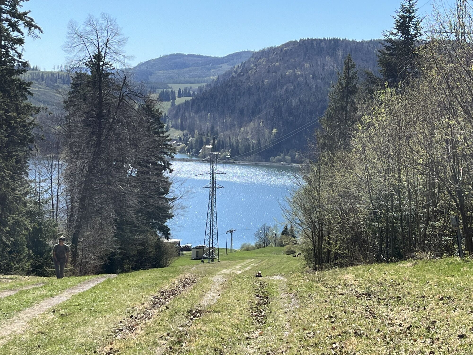
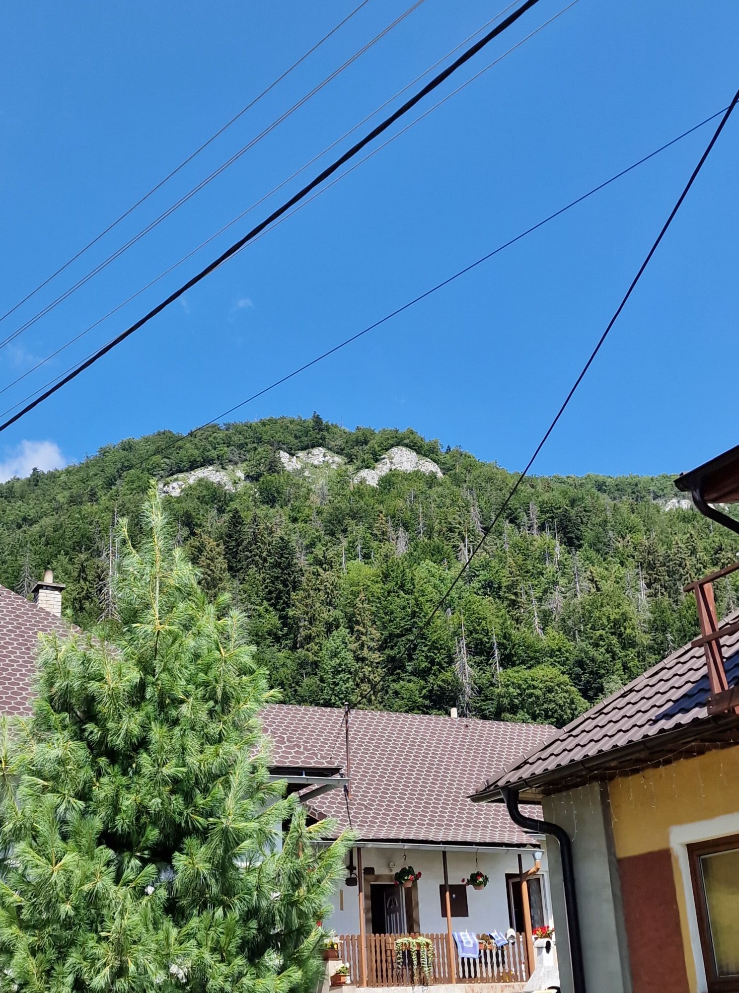
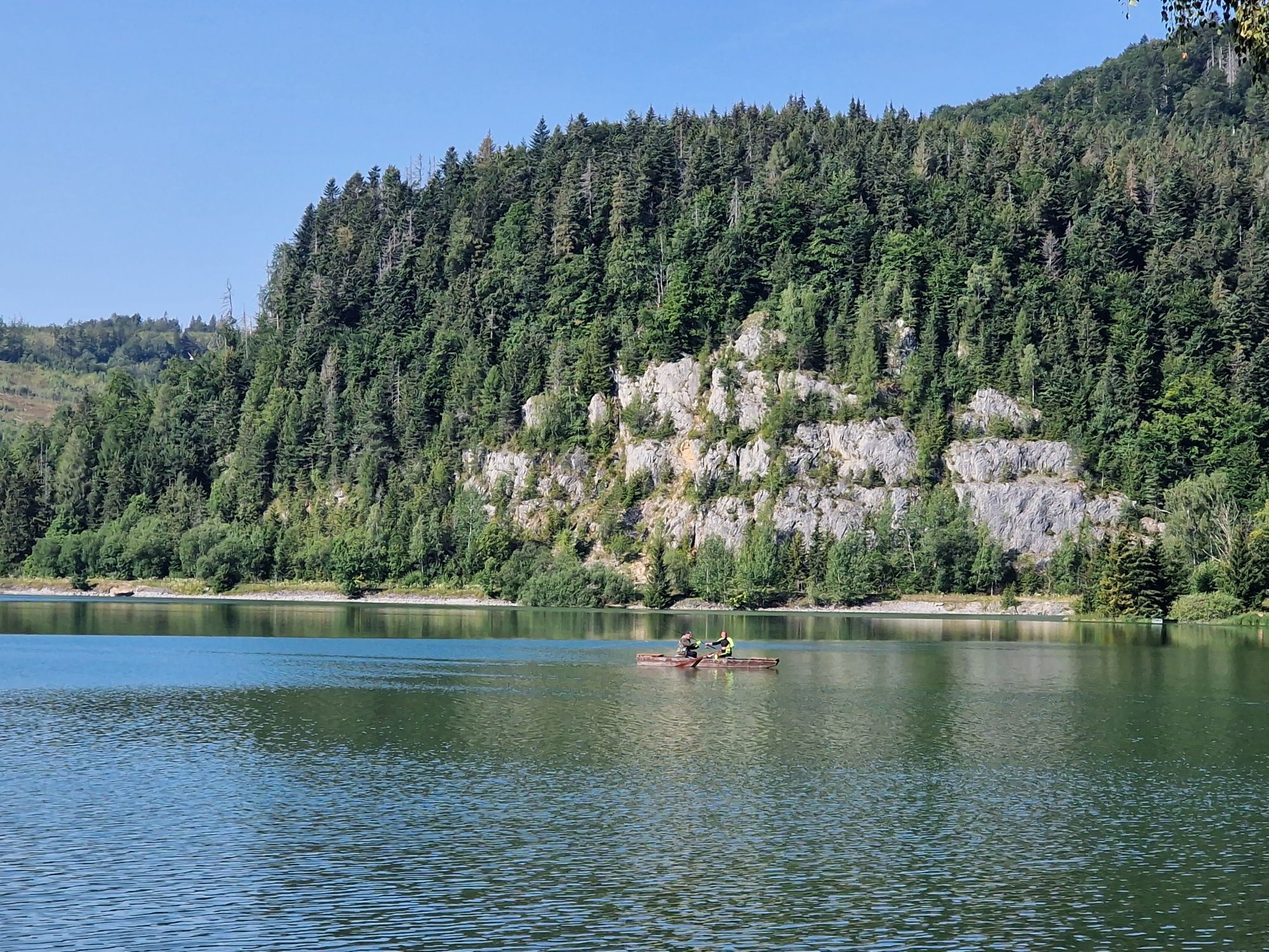
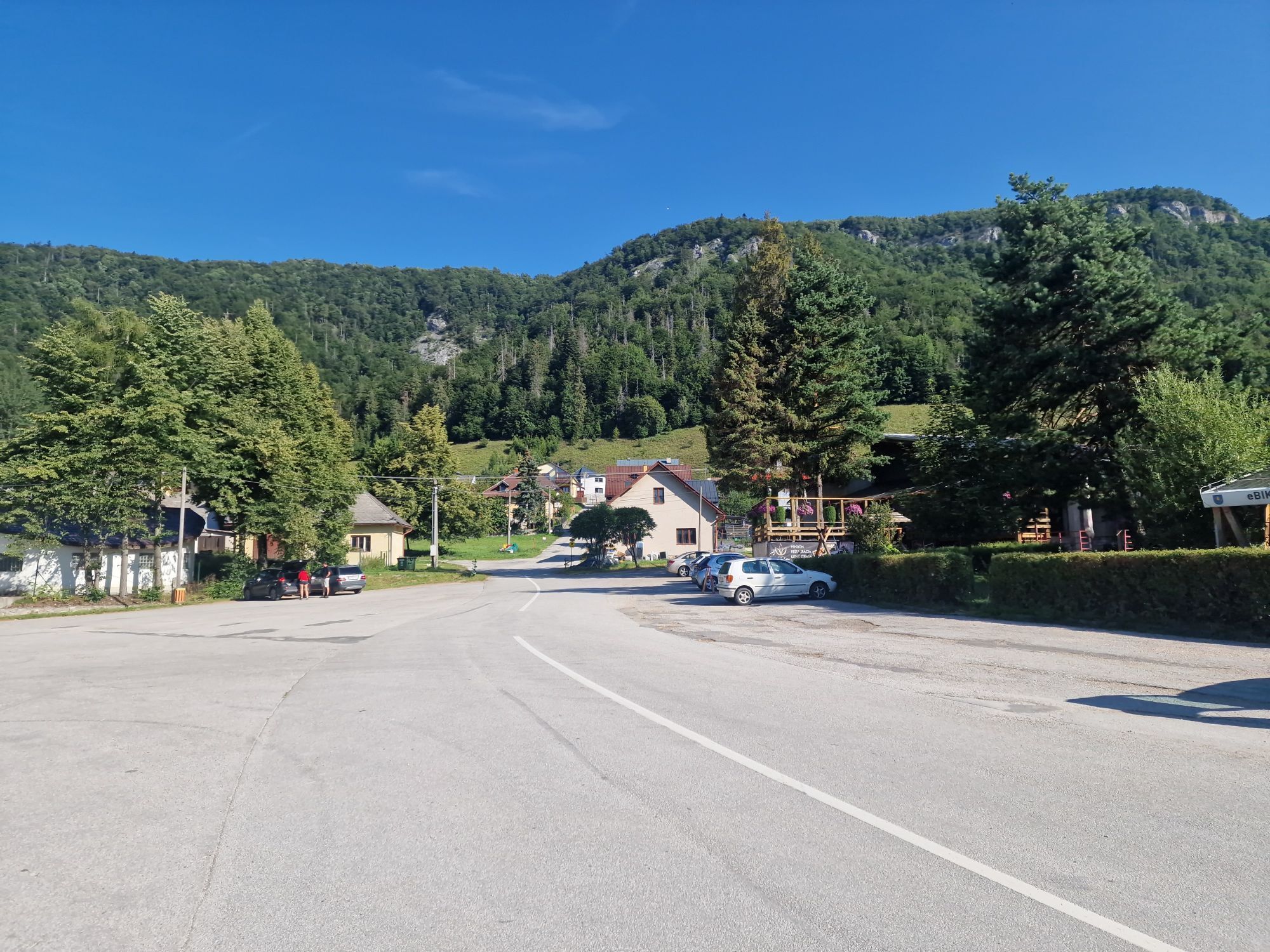
In the morning we made it to one of the first tours through the ice caves in Dobšinná. Then we moved by car to Dedinky. We parked in Dedinky on a paid parking under Hotel Priehrada. The Zejmarská gorge...
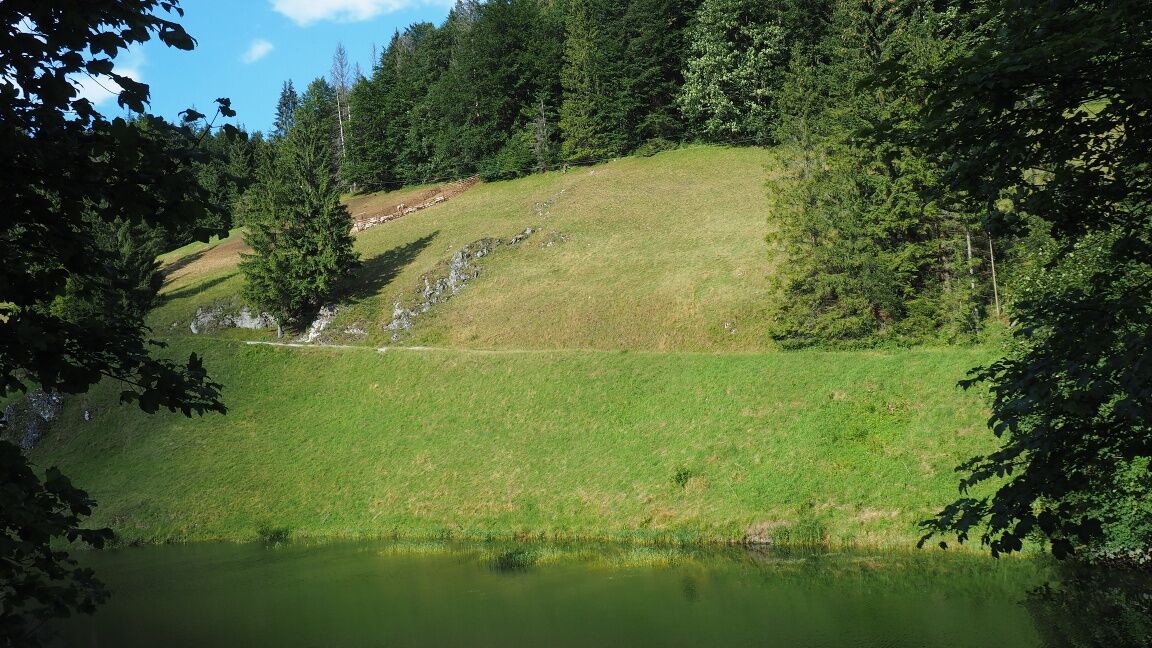
In the morning we made it to one of the first tours through the ice caves in Dobšinná. Then we moved by car to Dedinky. We parked in Dedinky on a paid parking under Hotel Priehrada. The Zejmarská gorge is not as busy as the gorges around Podlesok, but it is just as beautiful and picturesque. Over the gorge, Geravy Mountain Hotel with a restaurant is located on the edge of a large meadow (the cable car connecting Geravy and Dedinky is out of service for a long time). Following the red marked hiking path we to the crossroad below Suchý vrch. In the valley of Malé Zajfy, meadows bloom and Vráblovský mountain river gurgles. We got back to Palcmanská masa lake. Through meadows and on a forest path we return to Dedinky village with number of recreational facilities, guest houses, pubs and snacks. The reservoir is used for bathing and water sports.
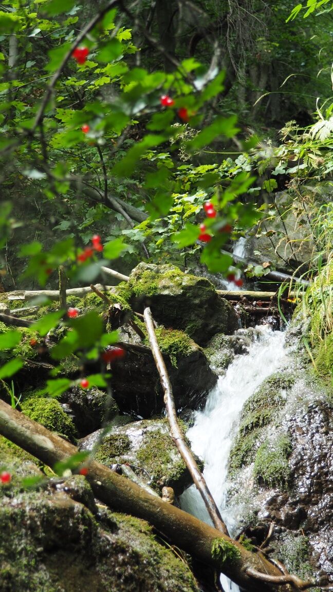
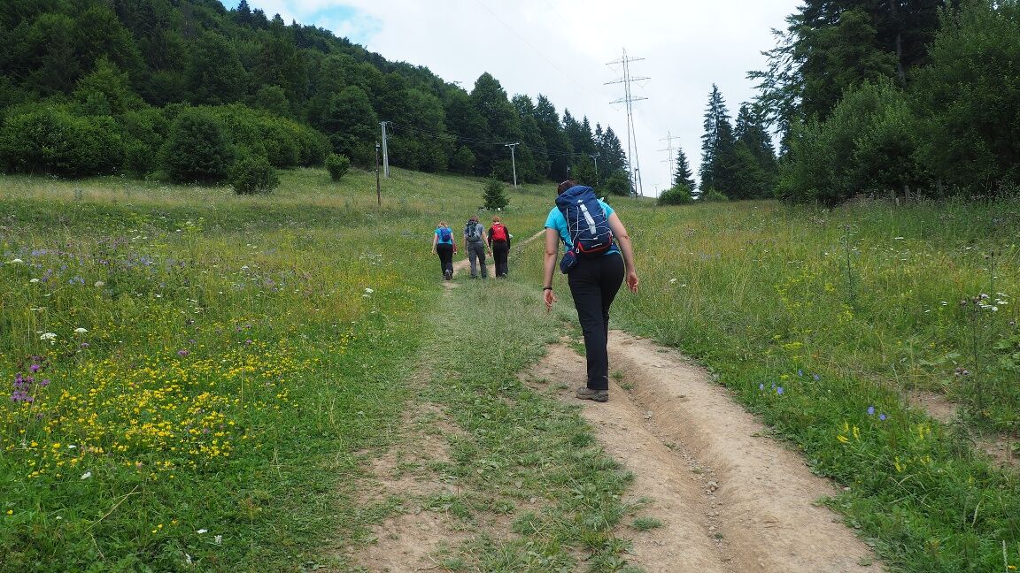
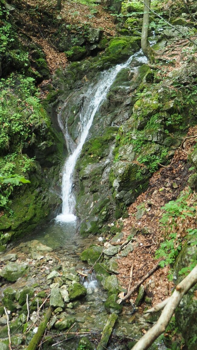
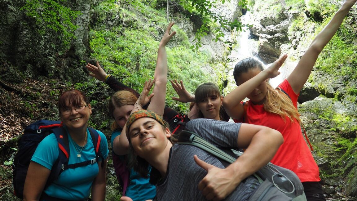
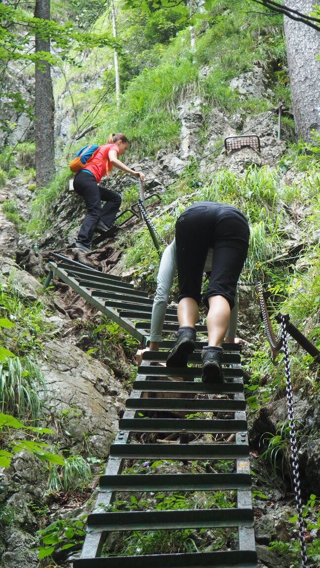
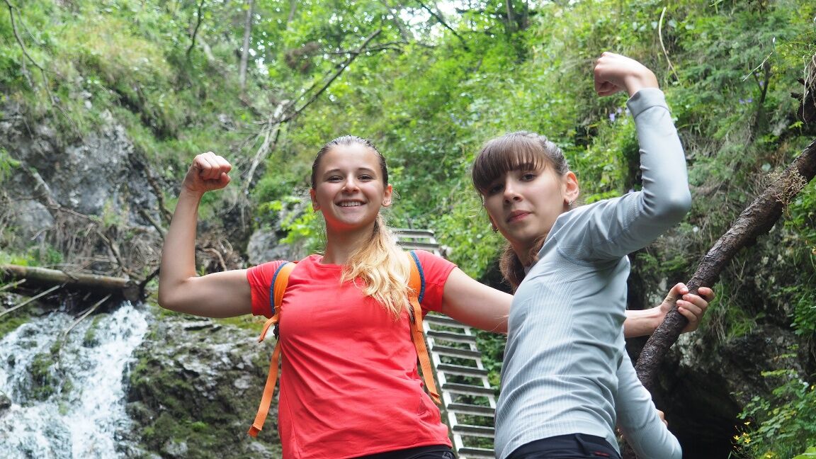
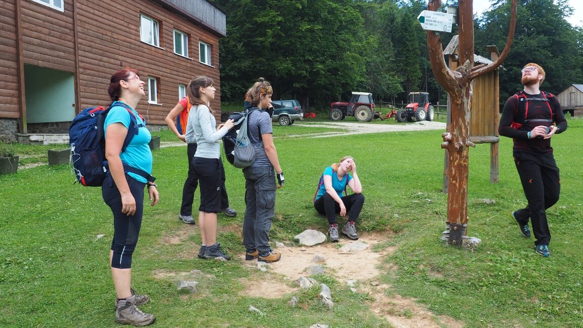
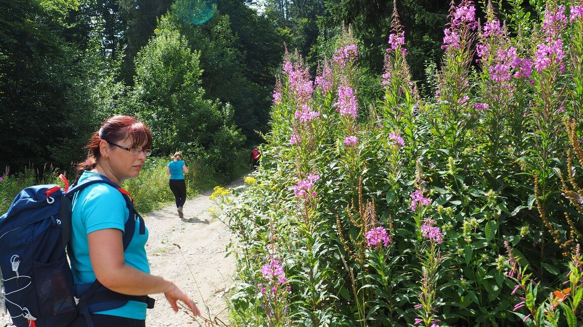

The entire route follows marked tourist paths.
From the starting point to the Zejmarská gorge, you follow the red mark. Passage through the Zejmarská gorge to Mountain Hotel Geravy is marked with a blue tourist sign. From there, to the crossroads below Suchý vrch you follow the red signs. From here to Stratenská píla you follow green marked path. Back to the village of Dedinky take red path.
474 - Slovenský ráj / Hiking map SHOCart, 1:40 000 EAN:9788072247523
4 - Slovenský ráj / Hiking map VKÚ, 1:25 000
Paid parking at Hotel Priehrada


Beliebte Touren in der Nähe
- 4,8
Hernád-áttörés, Tamásfalvi-kilátó, Kolostor-szakadék
schwerWanderung 16,5 km - 4,8
Sucha Belá
schwerWanderung 10,9 km - 5,0
Poniklec - Reštaurácia Rumanka - Ranč Podlesok - Mníchova diera
mittelWanderung 11,0 km - 4,7
Rundwanderung durch Zejmarska Schlucht
mittelWanderung 6,05 km SLO raj
mittelHochtour 18,4 km- 4,7
Lesnica - Ružová jaskyňa - Barikádový vodopád - Čertova sihoť
mittelWanderung 14,5 km Dosniai jégbarlang
mittelWanderung 2,51 km- 4,7
Spišské Tomášovce - Salaš Čingov - Lesnica - Ľudmanka
mittelWanderung 9,54 km - 4,5
Lesnica - Ľudmanka - Tomášovský výhľad - Spišské Tomášovce
mittelWanderung 9,03 km - 5,0
Dedinky - Gačovská skala - Kostol nanebovzatia Panny Márie
mittelWanderung 6,67 km
Wandern & Tracking


Verpasse keine Angebote und Inspirationen für deinen nächsten Urlaub
Deine E-Mail-Adresse wurde in den Verteiler eingetragen.





