


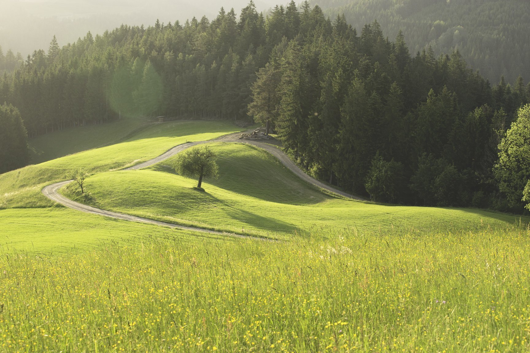
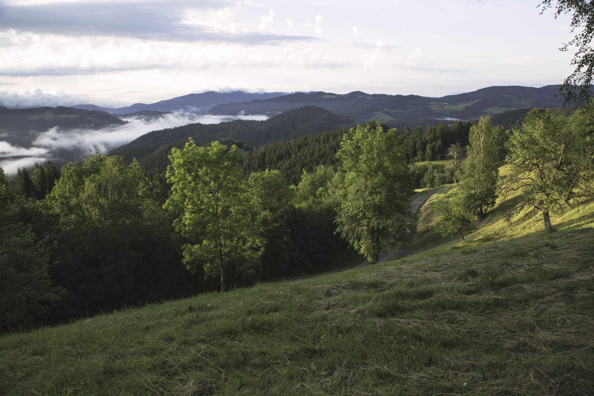
E-BIKE Black Peak: Holy energy
On 10,2 km you'll reach first attraction, St. Anton church from the 17. century. From here you will admire nice view on a beautiful surroundings and have a great opportunity to make excellent photos of...
On 10,2 km you'll reach first attraction, St. Anton church from the 17. century. From here you will admire nice view on a beautiful surroundings and have a great opportunity to make excellent photos of nature.
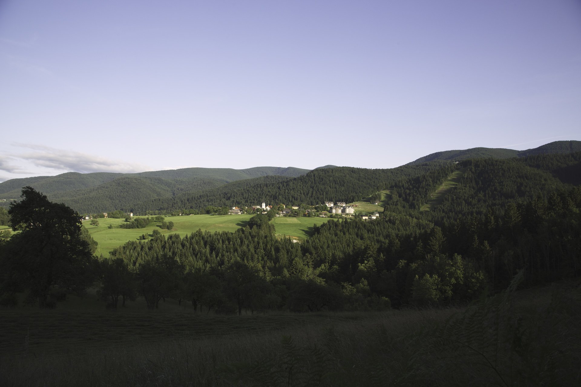
After 20,4 km you'll come to Vuhred, small village next to the Drava river, first mentioned in the old documents in 1407. Vuhred is know after timber rafting and special ships they called 'Šejka' with which they were transporting goods on Drava river.
On 36 km you'll reach St. Janez church from the 16th century. Its been known for centuries, that the church on the peak Janževski vrh (912 meters above the sea level), and its local area, are sources of healing energy. Today this is a cultural monument and spiritual place. Next to it grows a giant Turkish linden with the trunk circumference of 430 centimetres.
Perfect refreshment stop on the tour is Forge Kovačija pri Kovaču. They preserve their 200 years old blacksmith tradition - machinery and tools, which were used by the ancestors at the farm (spring hammer, hand drill, a large furnace), the master blacksmith, who will presents the manufacture from iron to the product and also the recipes of a smithy snacks and a drinks.


Beliebte Touren in der Nähe
- 4,5
Altenbachklamm Rundweg
mittelWanderung 5,69 km - 4,7
Rogla - Lovrenska Jezera Rundtour
mittelWanderung 12,2 km - 4,5
Remschniggalm, Nr. 116
mittelMountainbike 45,4 km - 3,8
St. Pongratzen–Kapla See, Nr. 115
mittelMountainbike 38,9 km - 5,0
Oberhaag Altenbachklamm
mittelWanderung 14,5 km - 5,0
Nandlrunde, Nr. 103
mittelMountainbike 50,6 km - 3,8
Austria Slovenija Tour
mittelRadfahren 70,1 km - 3,0
Eibiswald - Kapunerhütte - Radlpass - Eibiswald
mittelWanderung 18,4 km - 5,0
Eibiswald - St. Pongratzen - Kapunerhütte - Eibiswald
mittelWanderung 22,0 km - 4,5
Kapuner–St.Pongratzen, Nr. 113
mittelMountainbike 33,4 km
Wandern & Tracking


Verpasse keine Angebote und Inspirationen für deinen nächsten Urlaub
Deine E-Mail-Adresse wurde in den Verteiler eingetragen.