



Althofen: Aussichtsreicher Kurzspaziergang









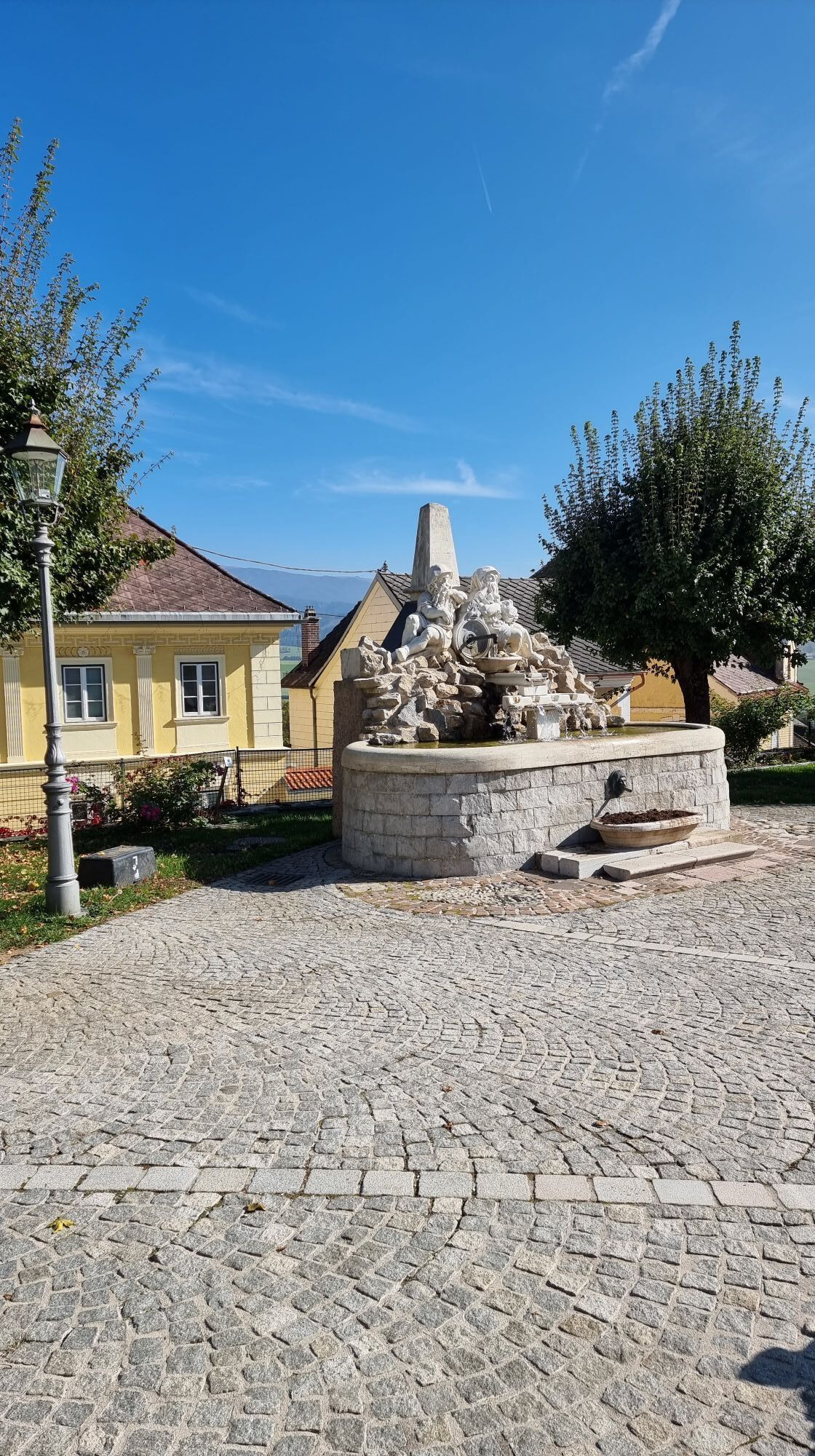
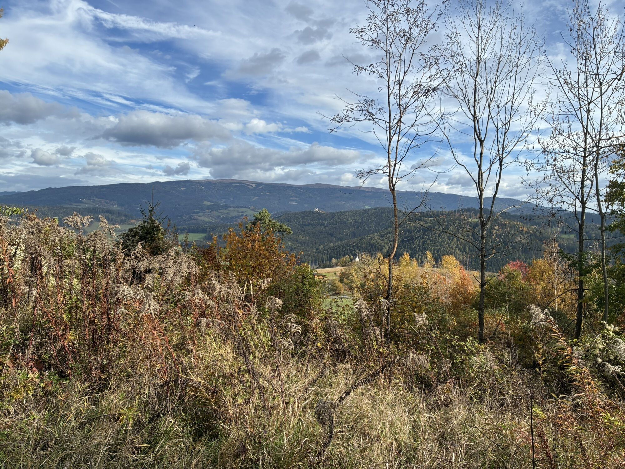
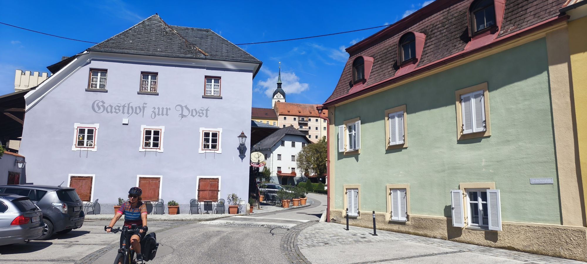
The panoramic short walk in Althofen is the perfect opportunity to enjoy the beautiful nature of Carinthia in a short time. This leisurely hike starts in the center of Althofen and leads you along well-maintained...
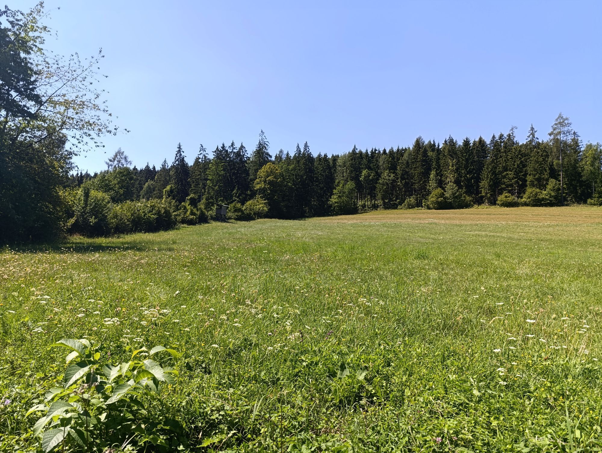
The panoramic short walk in Althofen is the perfect opportunity to enjoy the beautiful nature of Carinthia in a short time. This leisurely hike starts in the center of Althofen and leads you along well-maintained paths through a varied landscape of rolling hills and green meadows.
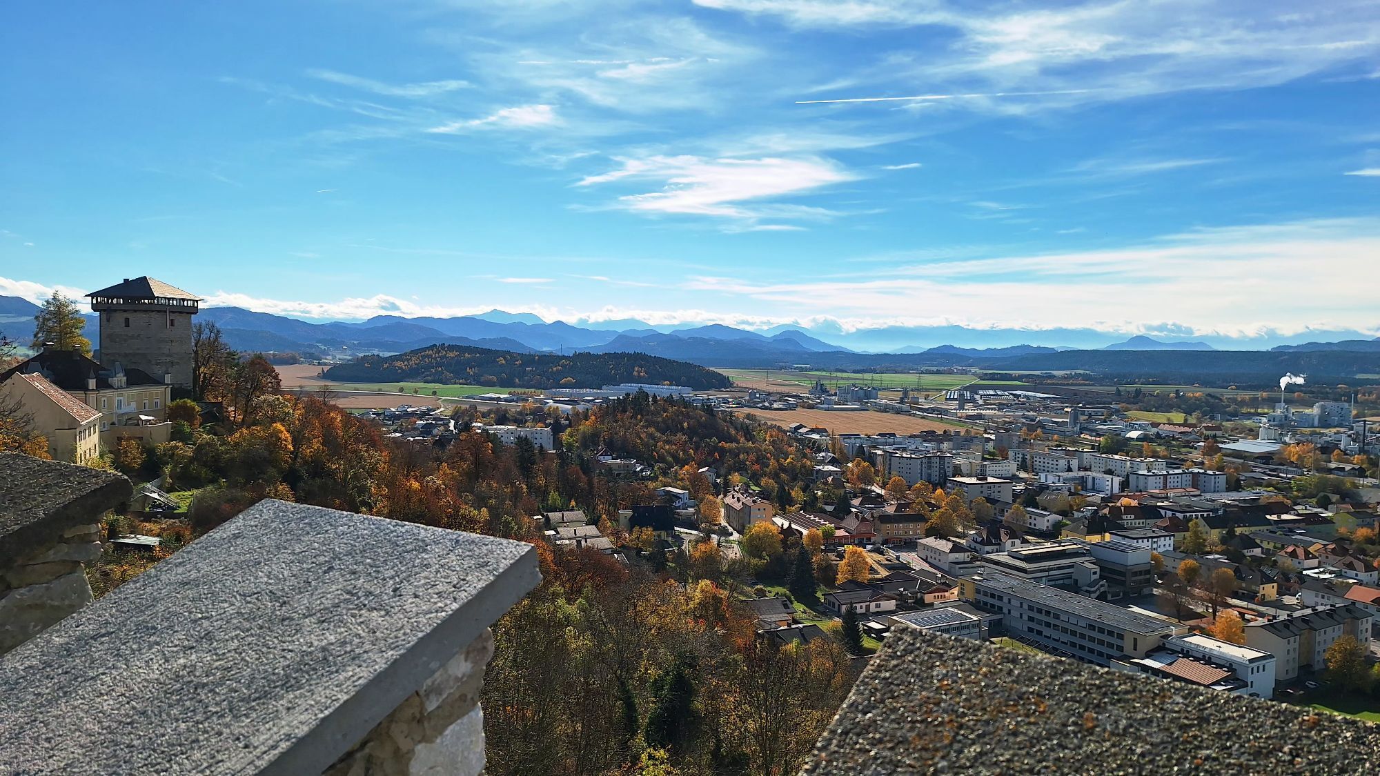
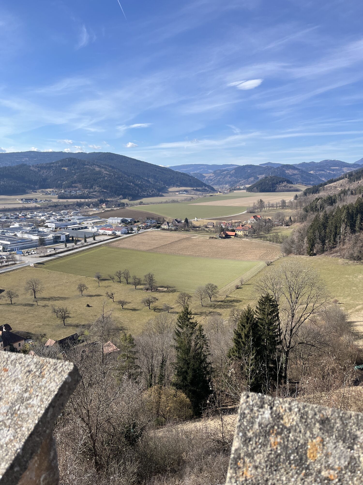
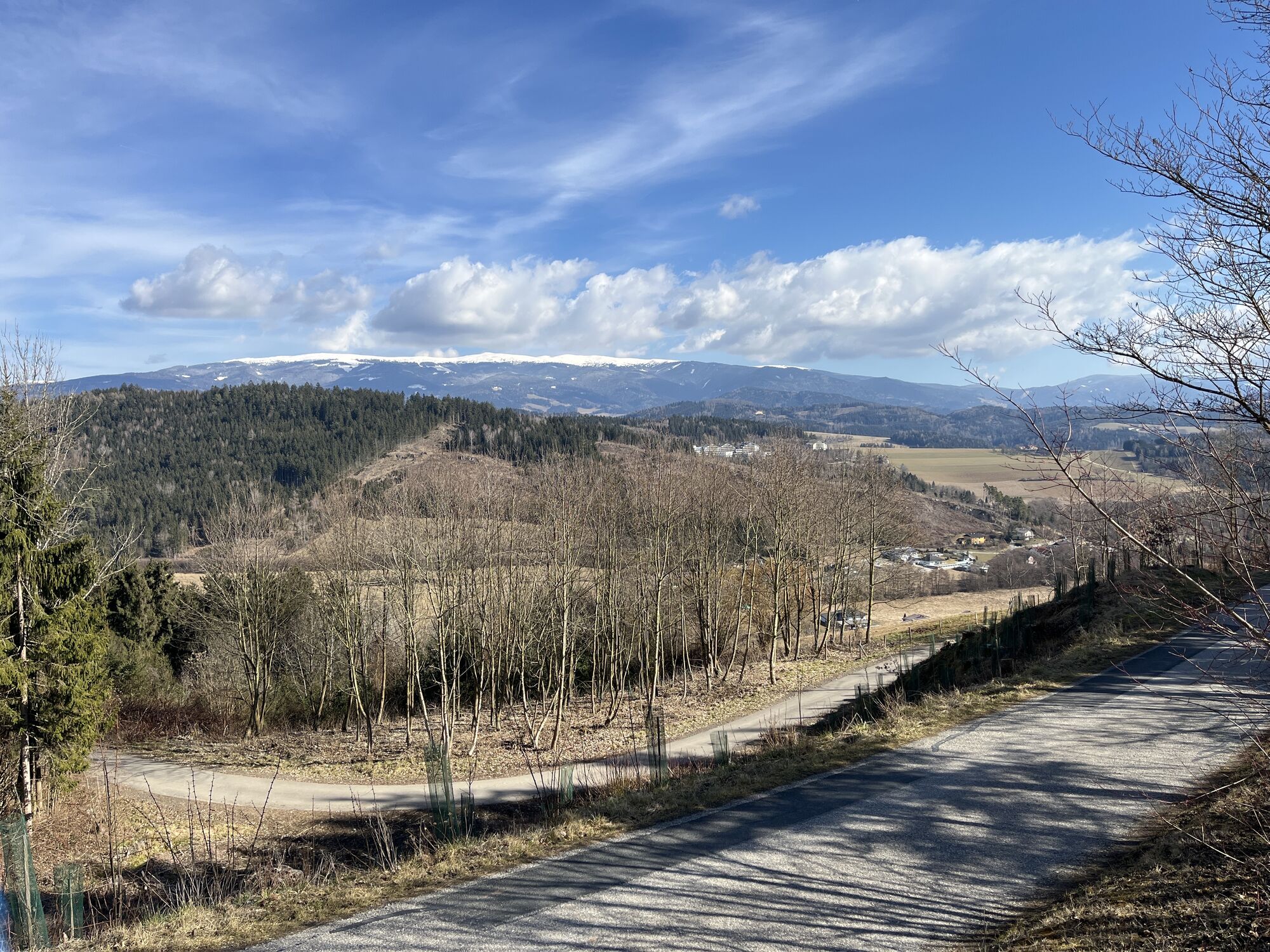
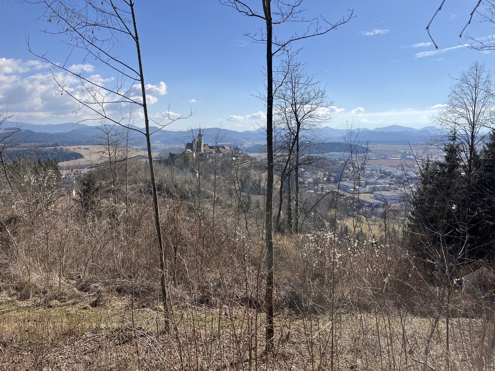
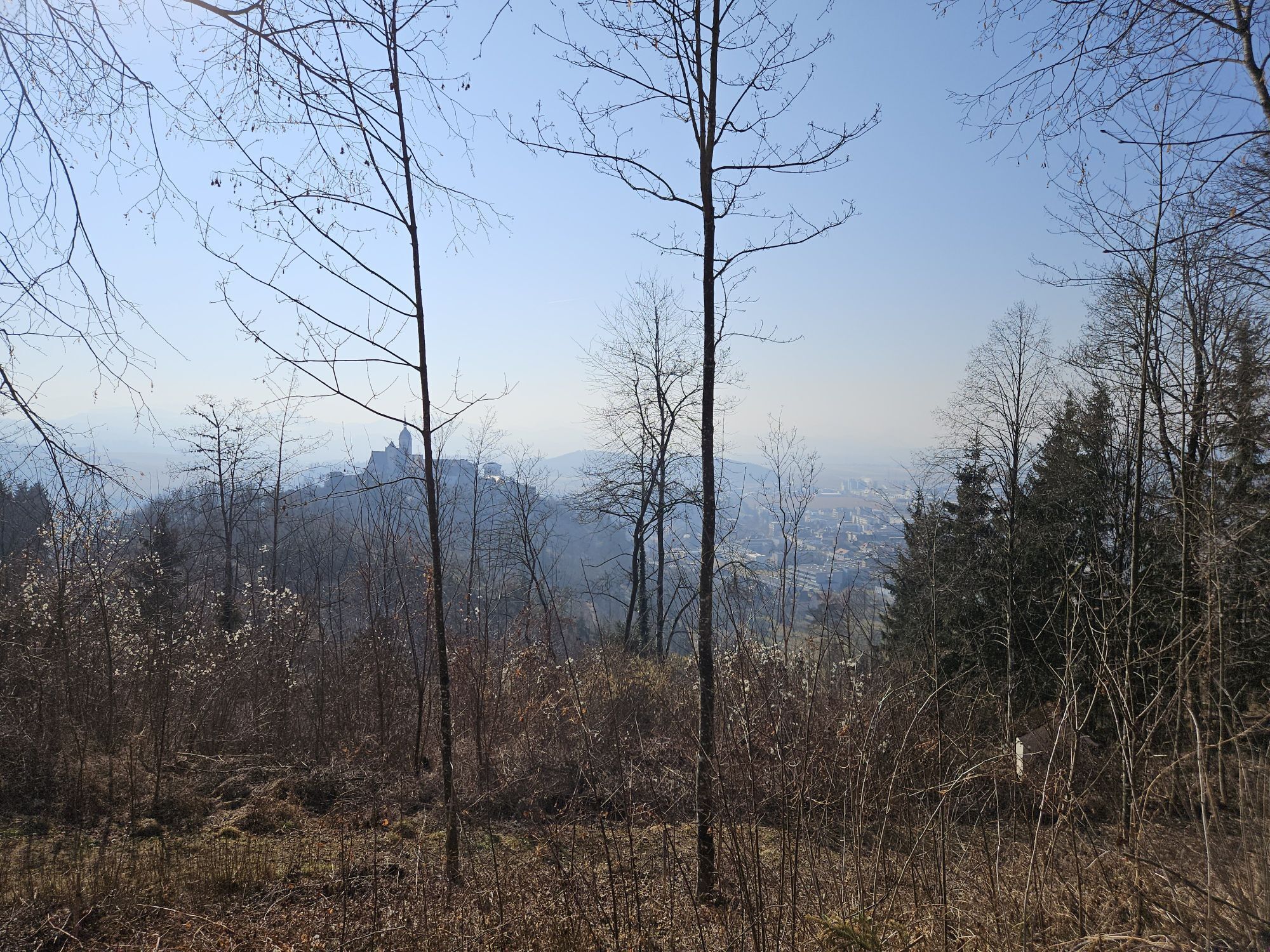
Along the way, you can expect wonderful views of the surrounding mountains and the wide valley, which are particularly impressive on a clear day. The trail is family-friendly and also suitable for beginners, as it offers no steep climbs or technical challenges.
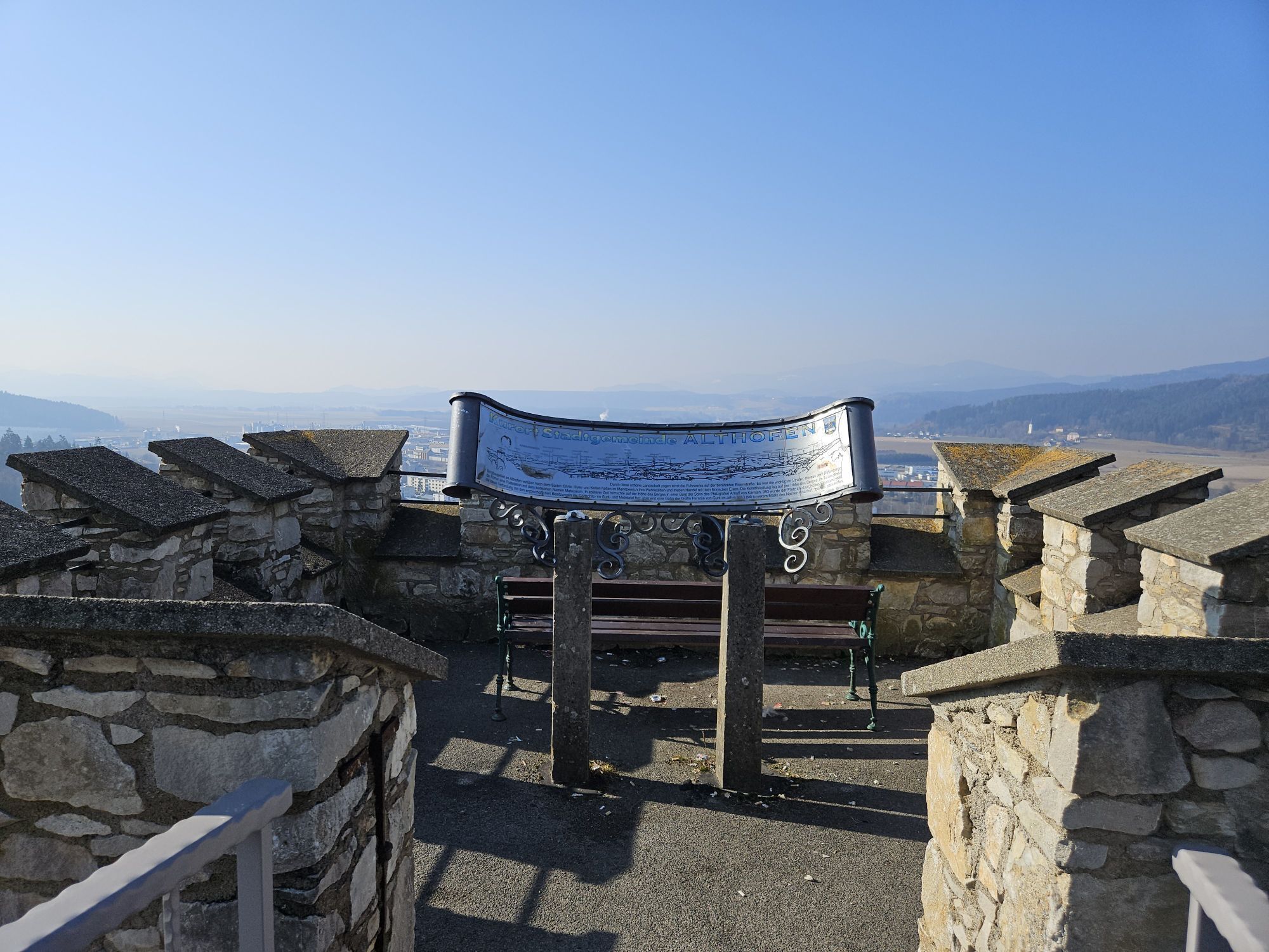
The walk is ideal for relaxing in nature and getting some fresh air. It ends at a cozy vantage point from where you can enjoy the view of the idyllic surroundings and rolling landscapes.
Whether for a short break or as part of a longer excursion, this circular trail is a great way to experience the beauty of the region.

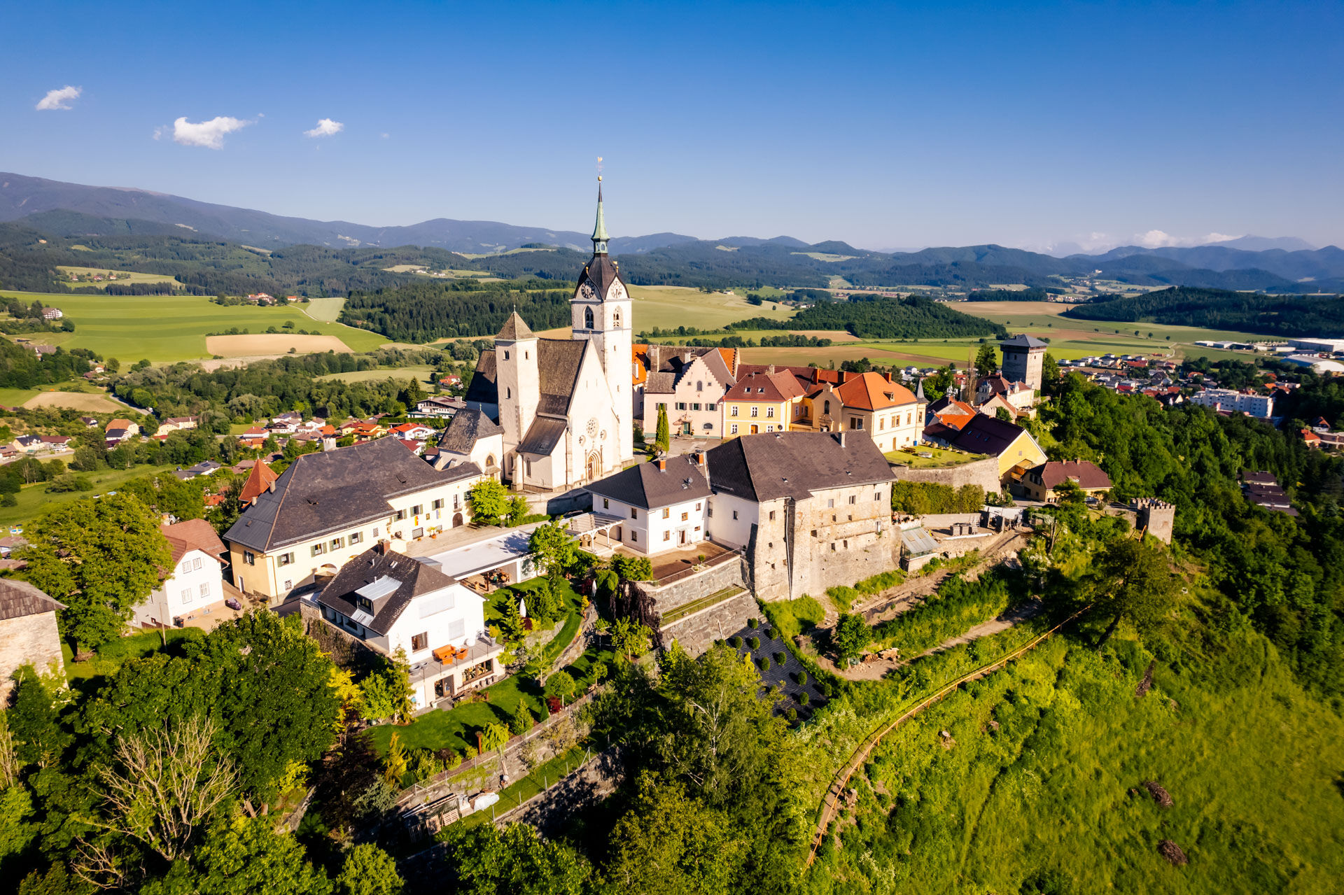


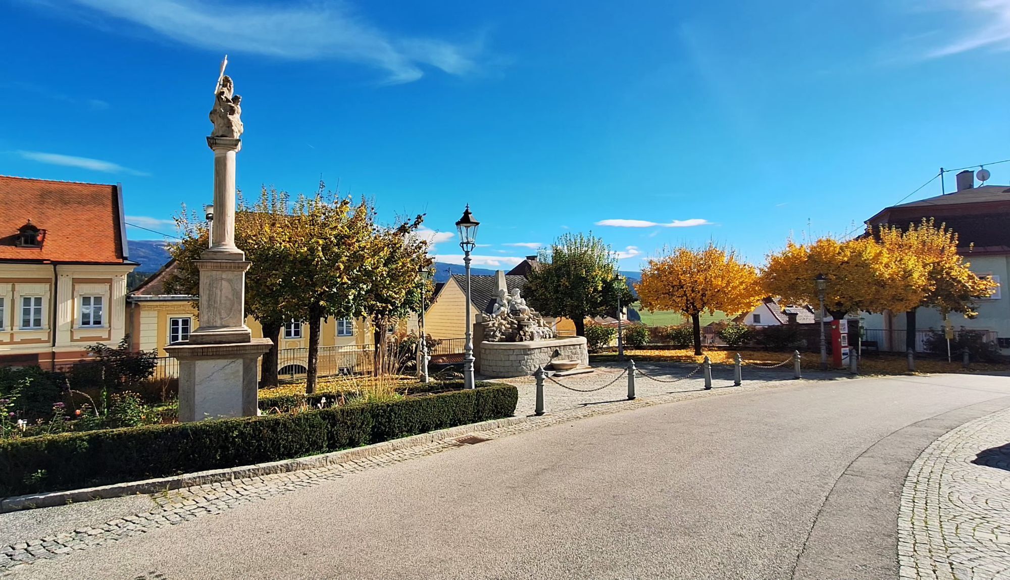
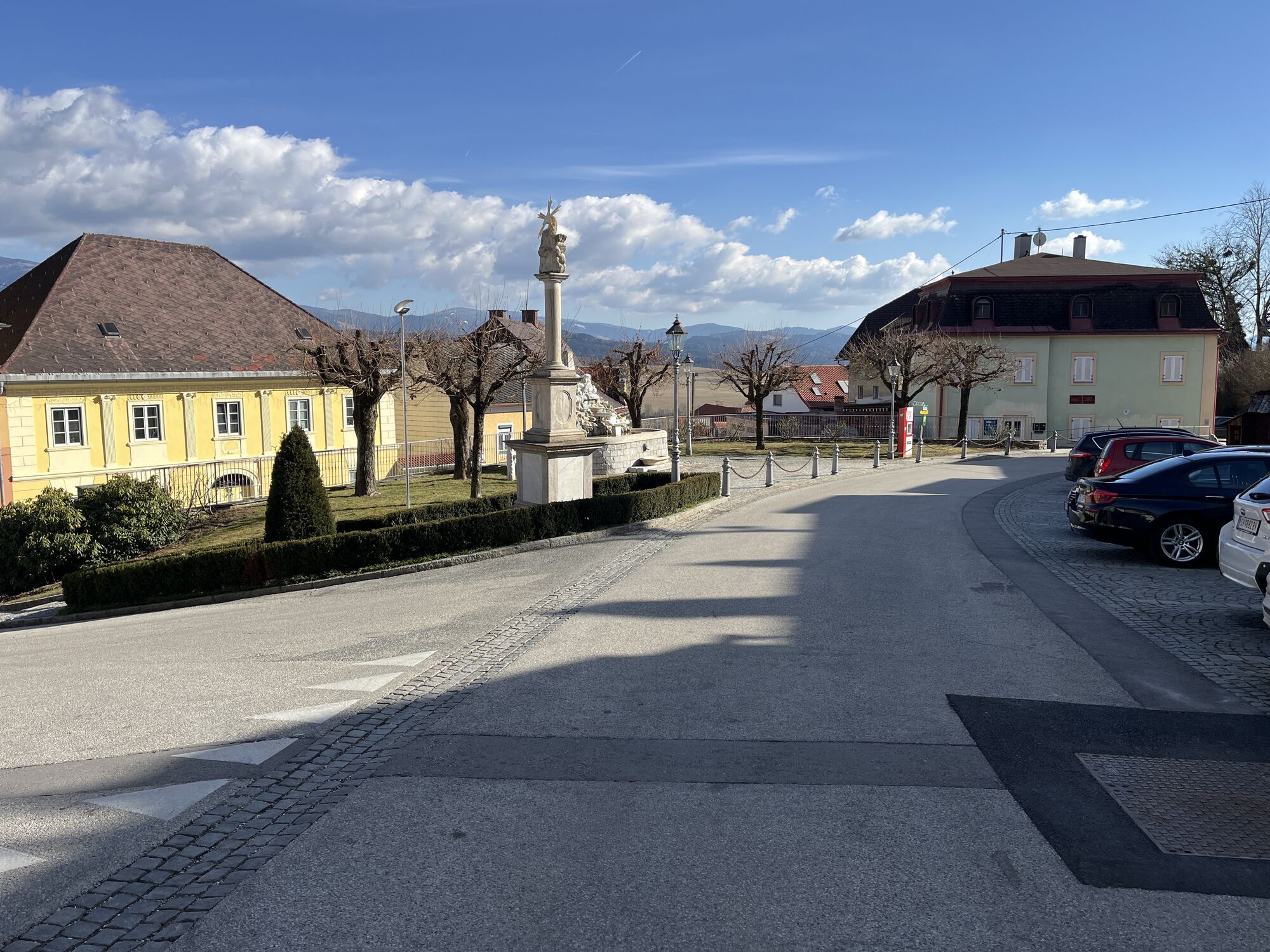
Starting point: Begin your hike in the center of Althofen, on the main square. From here, follow the signs to the south.
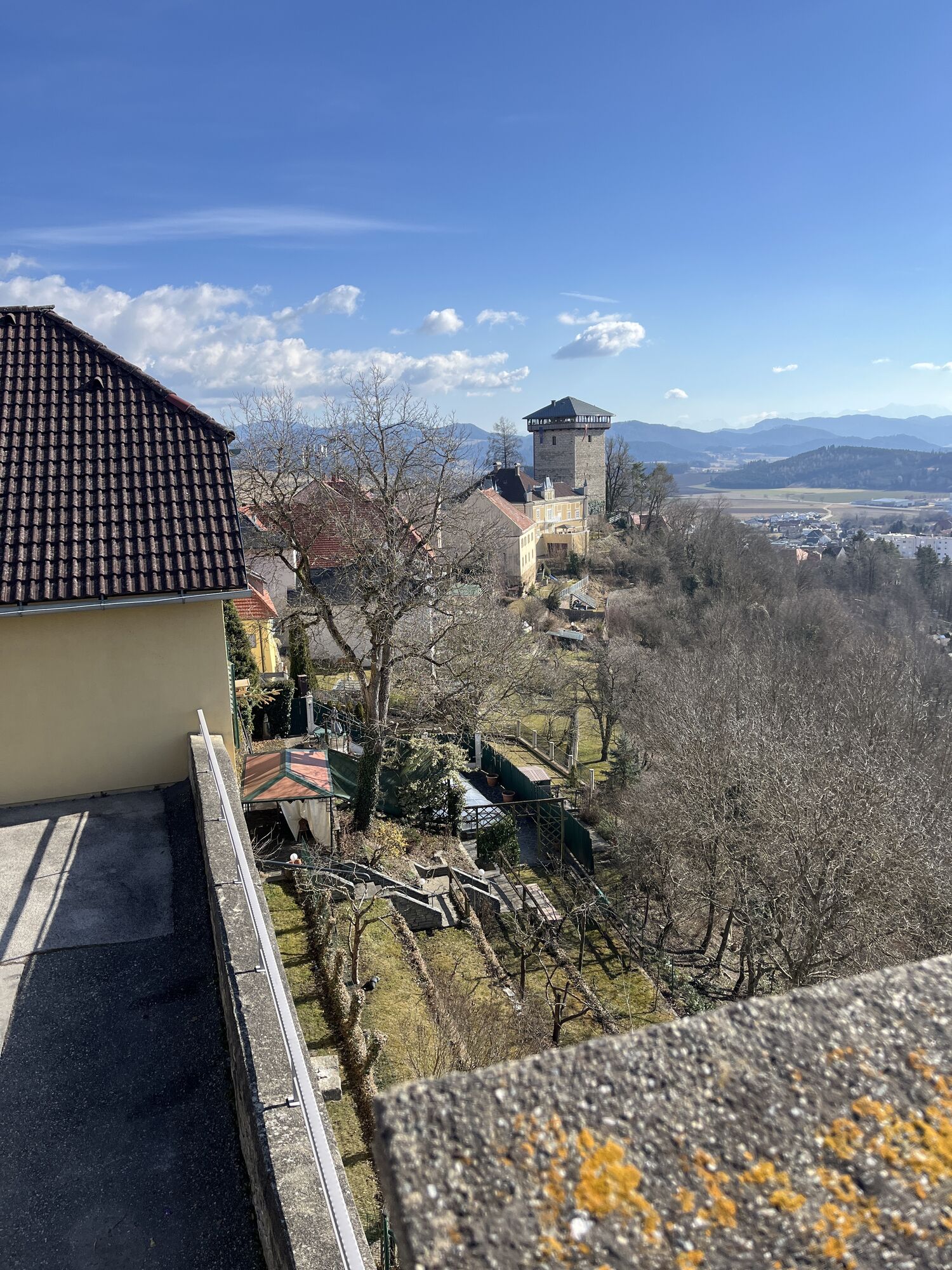
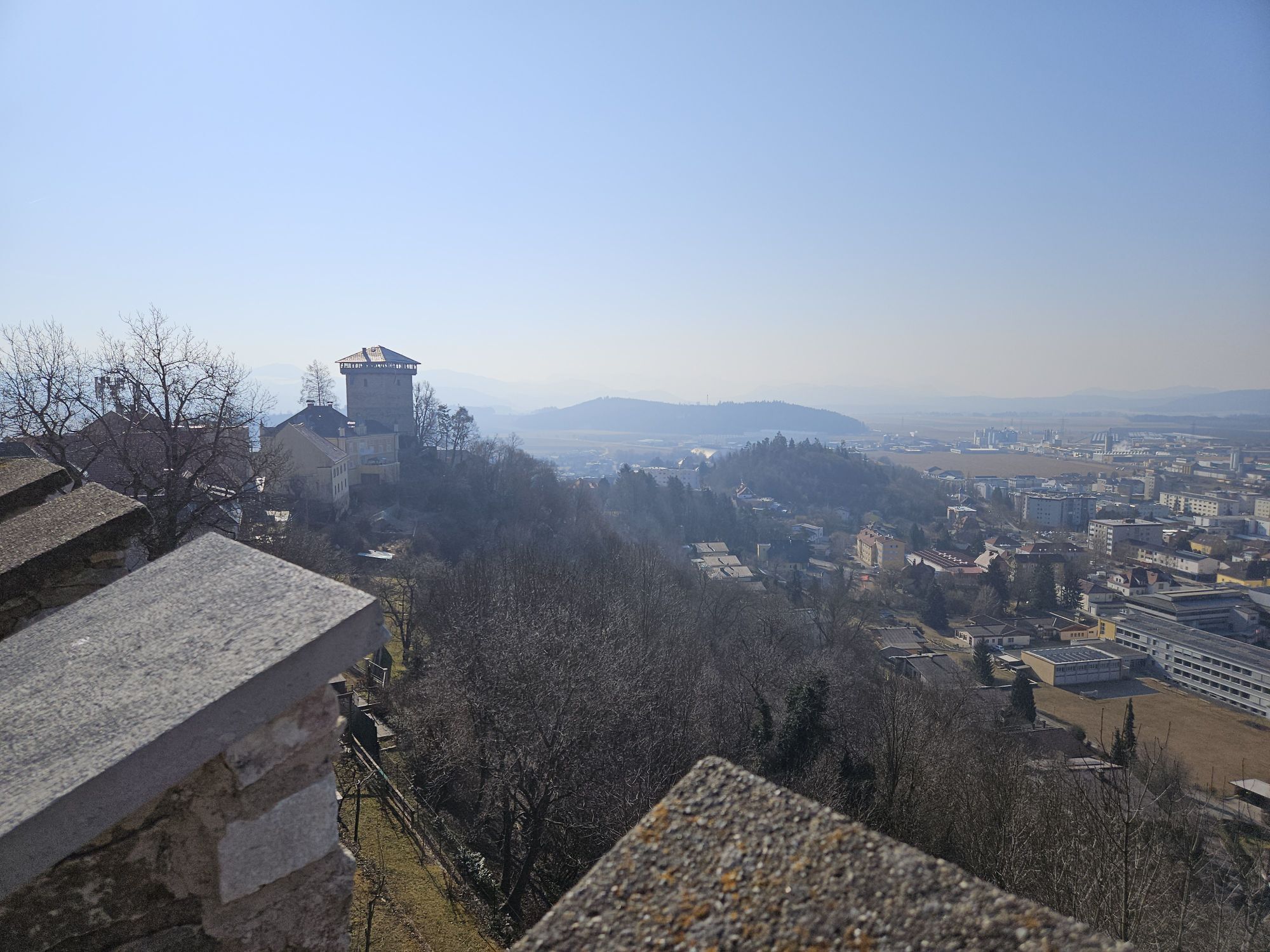
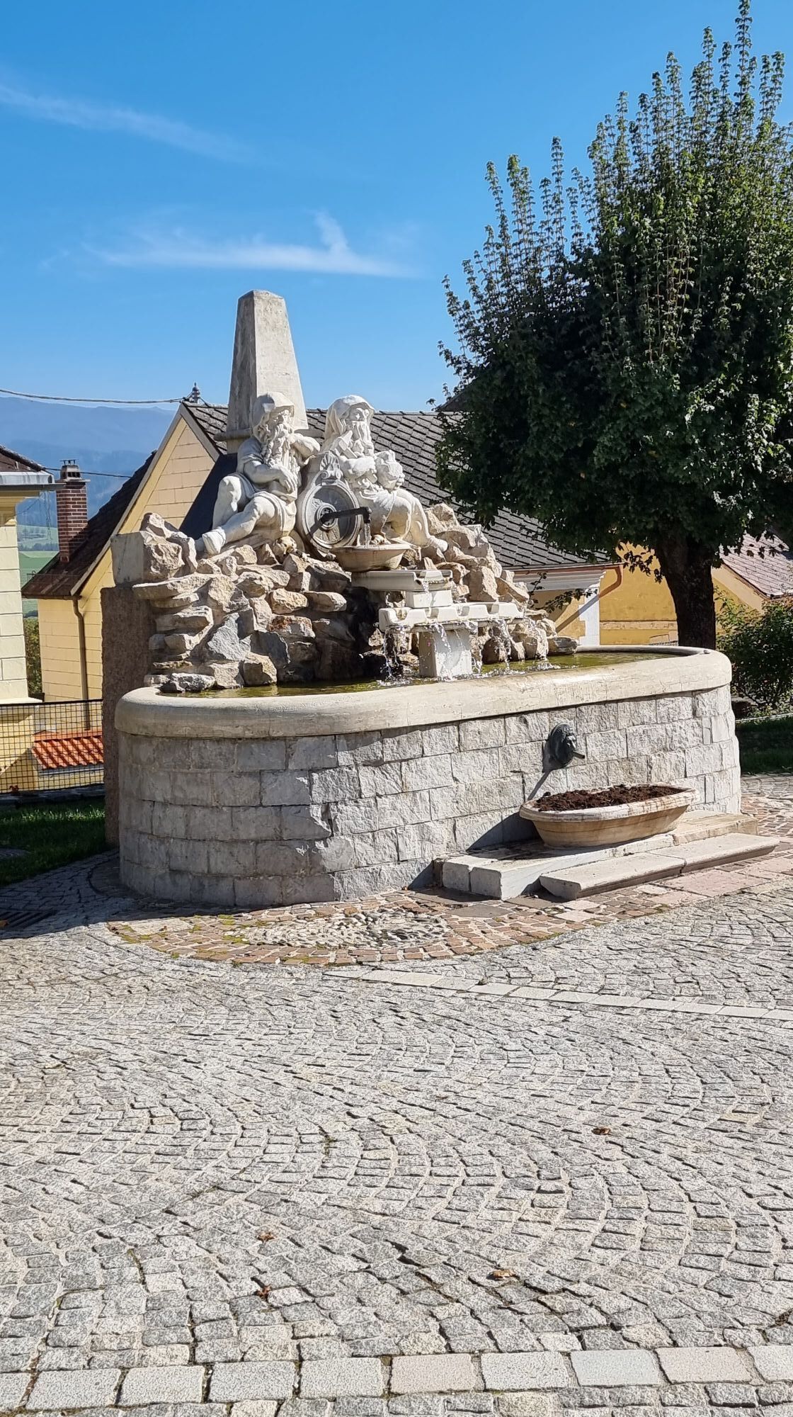
Old town wall: Walk along the old town wall and enjoy the historic buildings and the view of the town.
Panoramaweg: After about 10 minutes, you will reach the Panoramaweg. This well-maintained path offers you the first beautiful views of the surrounding landscape. Follow the panorama trail in a westerly direction.
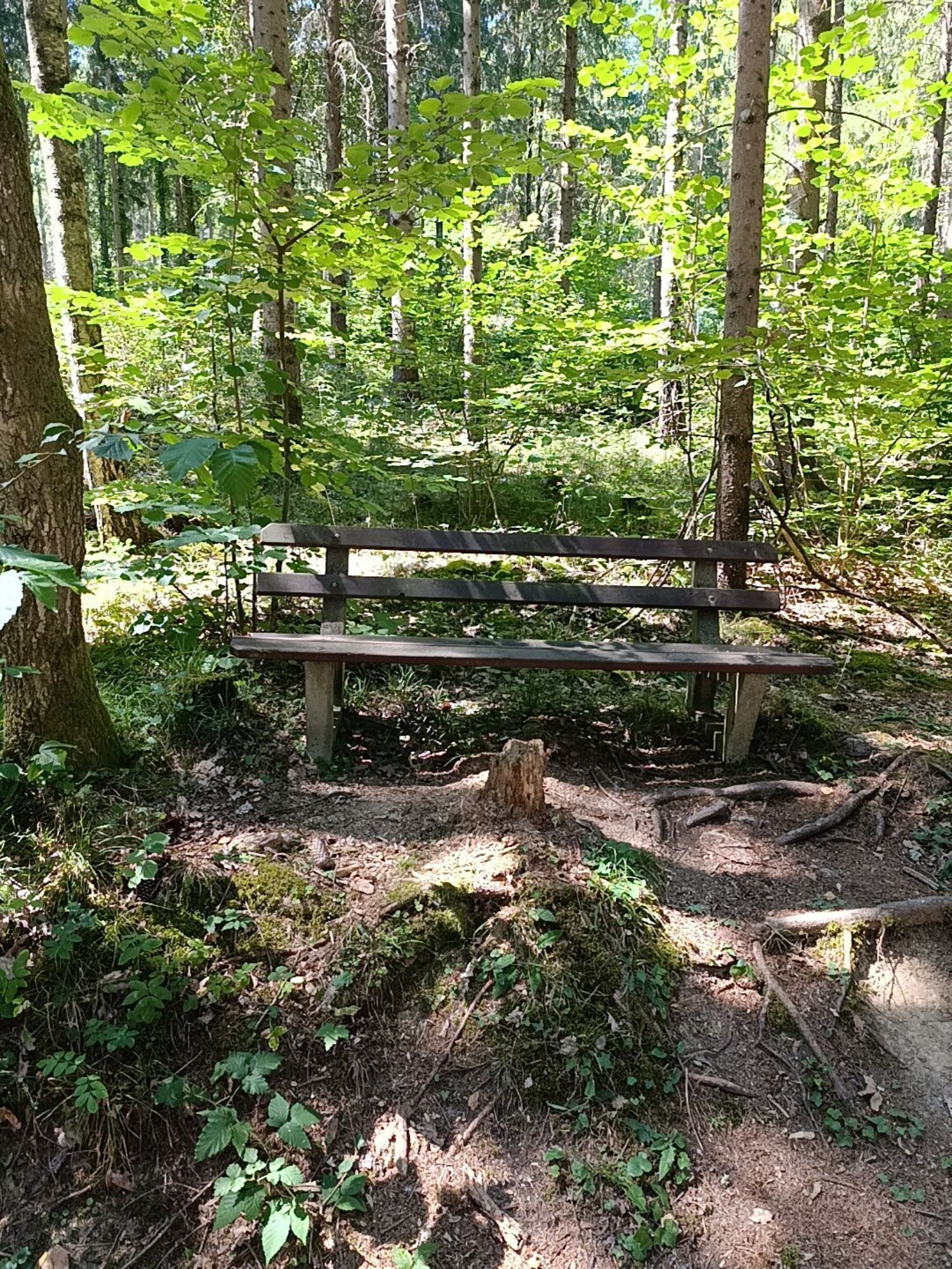
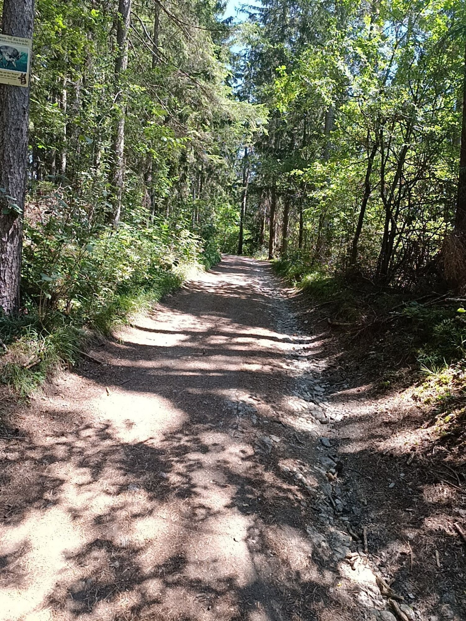
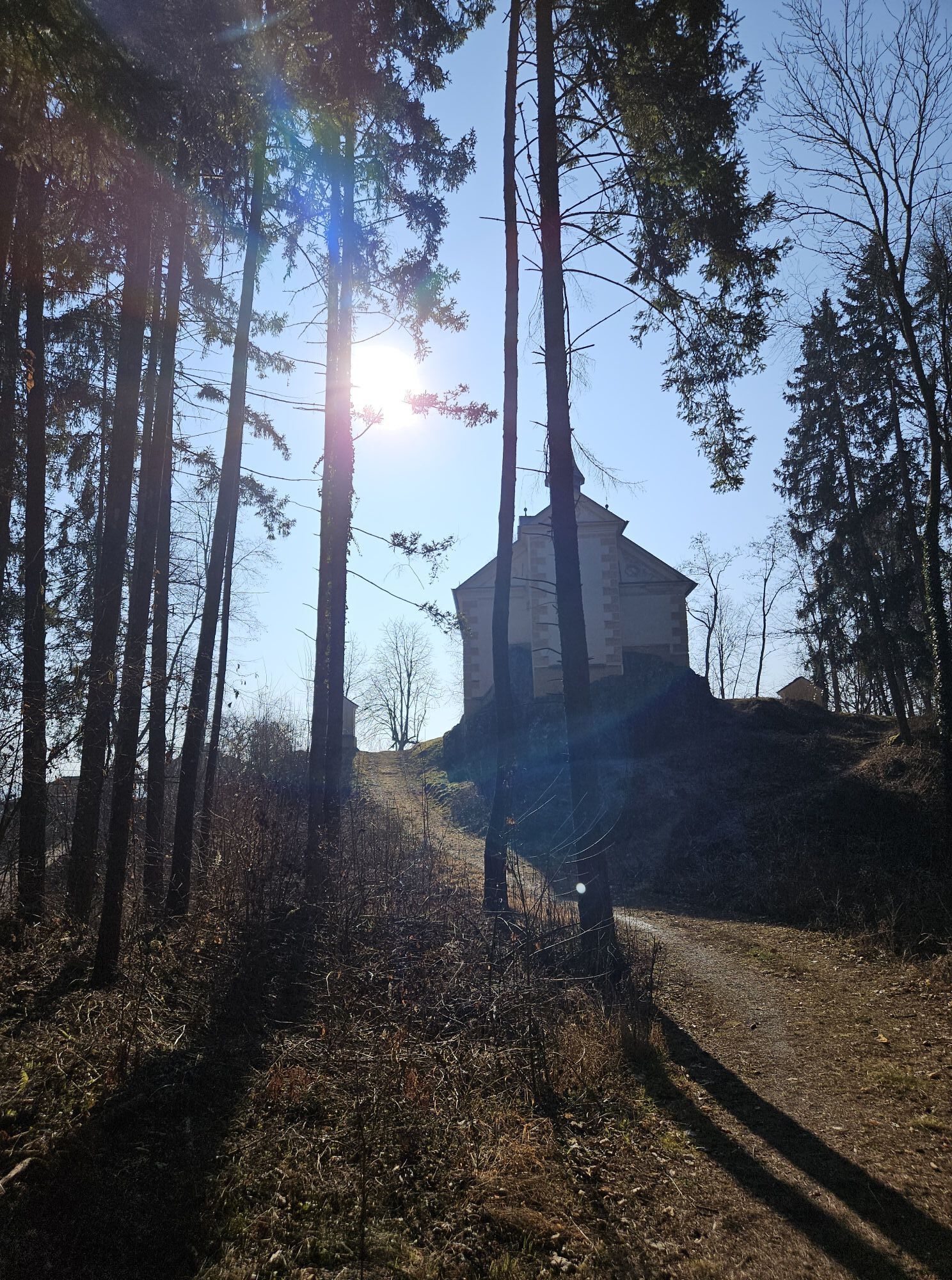
Forest path: After around 15 minutes, turn right onto a narrow forest path. This leads you through a quiet section of forest, ideal for a short break in the shade of the trees.
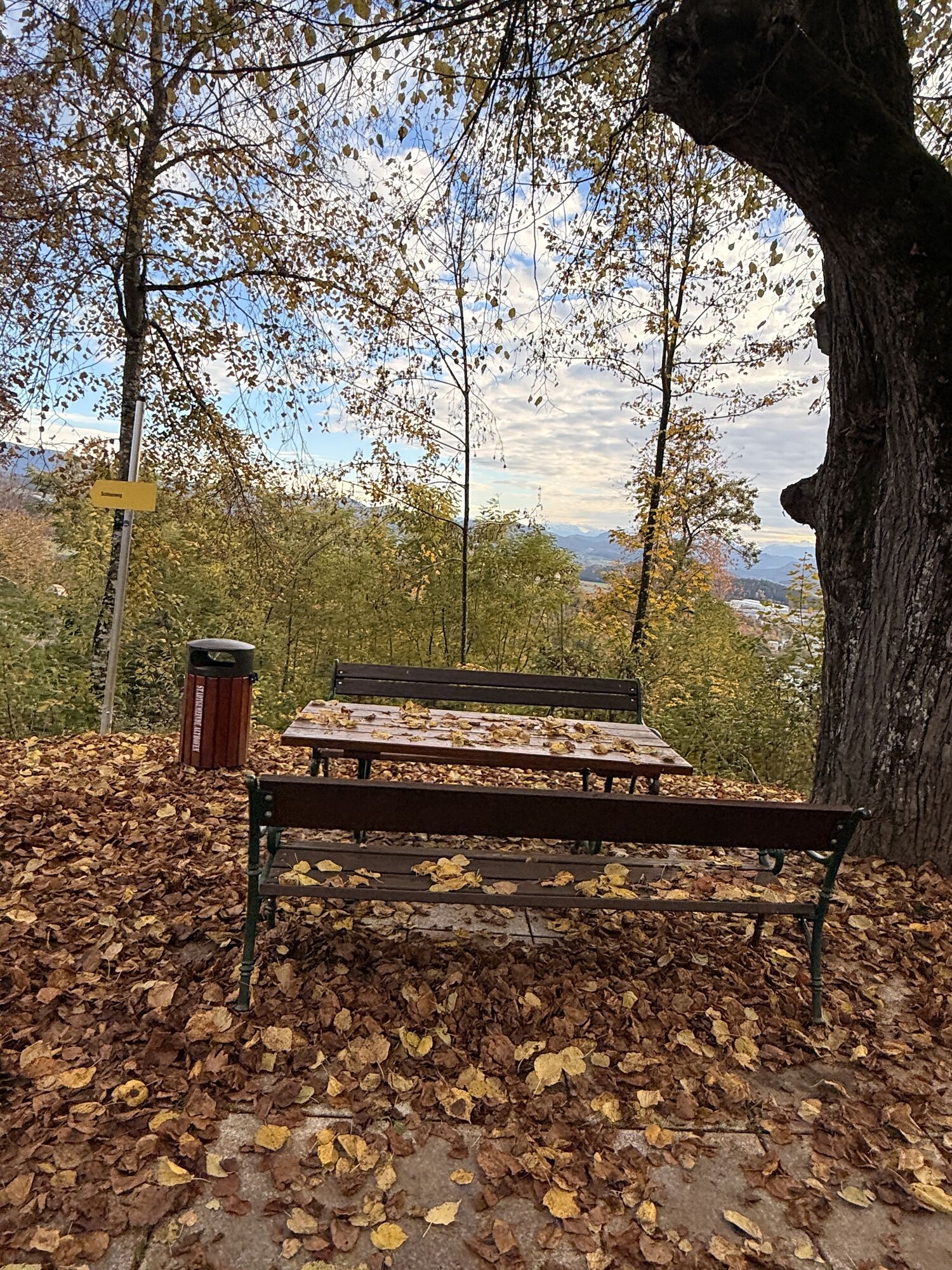
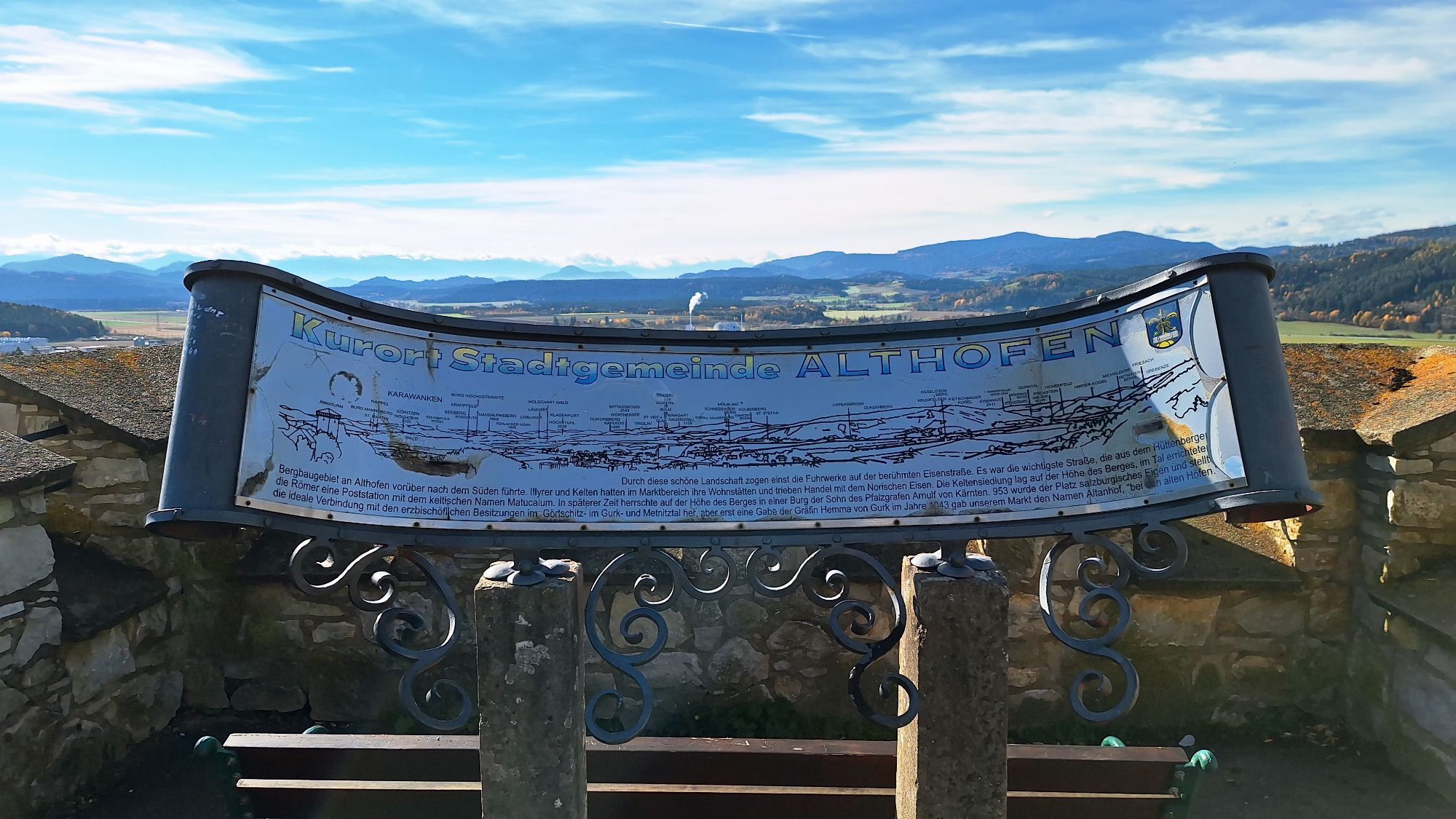
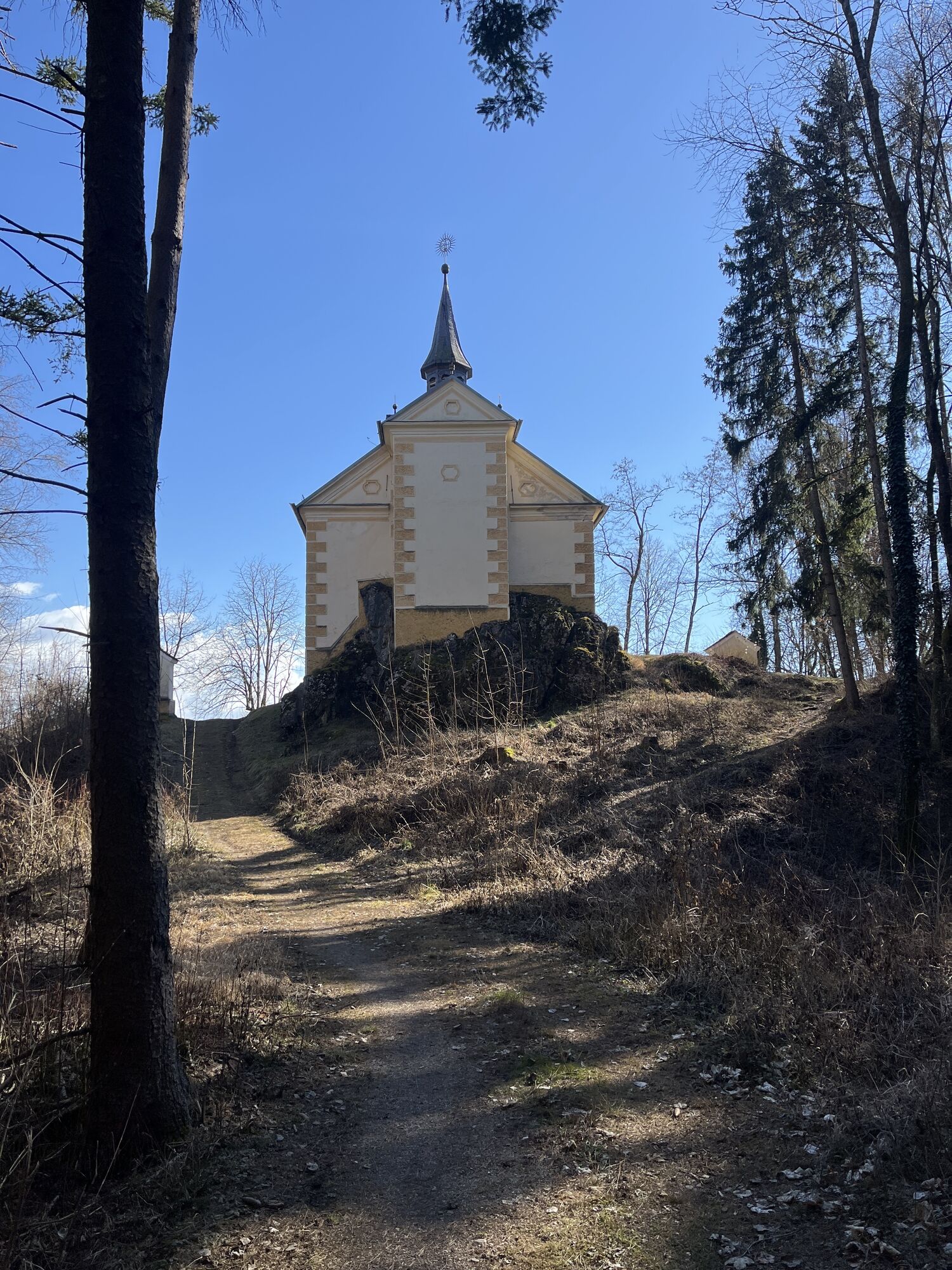
Viewpoint: The path continues to a viewpoint with a bench. Here you have a wonderful view of the Carinthian countryside and the surrounding mountains. A perfect place for a short break and to enjoy the view.
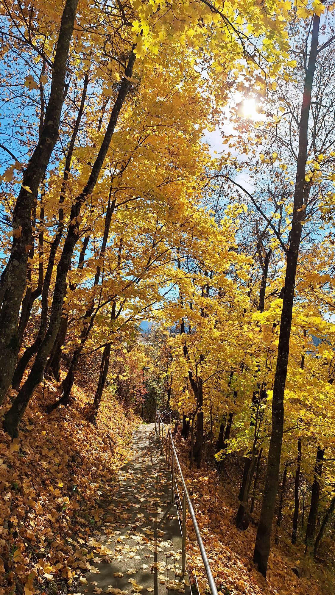
Way back: From the viewpoint, follow the circular trail that leads you in a curve back to the starting point. The path descends slightly and continues to offer beautiful views
Destination: After around 45 minutes to an hour, you will reach the main square in Althofen again, where you can end your walk.
Ja
Festes Schuhwerk sowie wetterangepasste Kleidung werden empfohlen. Nehmen Sie ausreichend Trinkwasser und ein geladenes Mobiltelefon mit.
Planen Sie Ihre Route entsprechend Ihrer Kondition und Erfahrung.
Nehmen Sie ausreichend Wasser und Verpflegung mit.
Tragen Sie festes, dem Gelände angepasstes Schuhwerk.
Tragen Sie wettergerechte Kleidung und Sonnenschutz.
Bleiben Sie auf markierten Wegen.
Geben Sie jemanden Bescheid wohin Sie gehen und wann Sie wieder retour sein werden.
Fahren Sie über die B317 nach Treibach-Althofen.
Fahren Sie mit dem Zug oder dem Bus nach Treibach-Althofen.
Bitte vorhandene Parkplätze nutzen. Bitte parken Sie nur an markierten Flächen und nicht am Wegesrand.
weitere Touren finden Sie hier:
https://regio.outdooractive.com/oar-mittelkaernten/de/
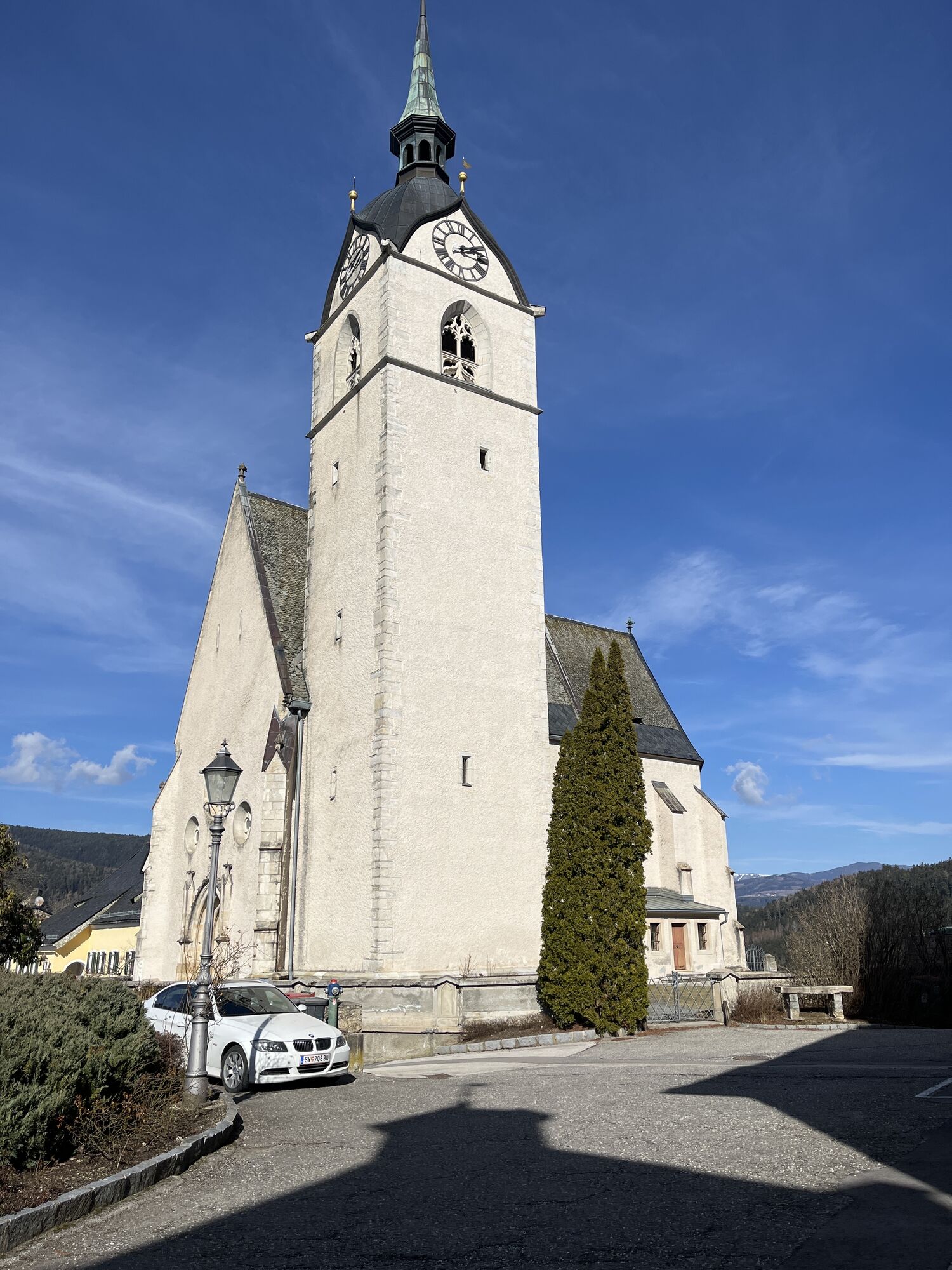
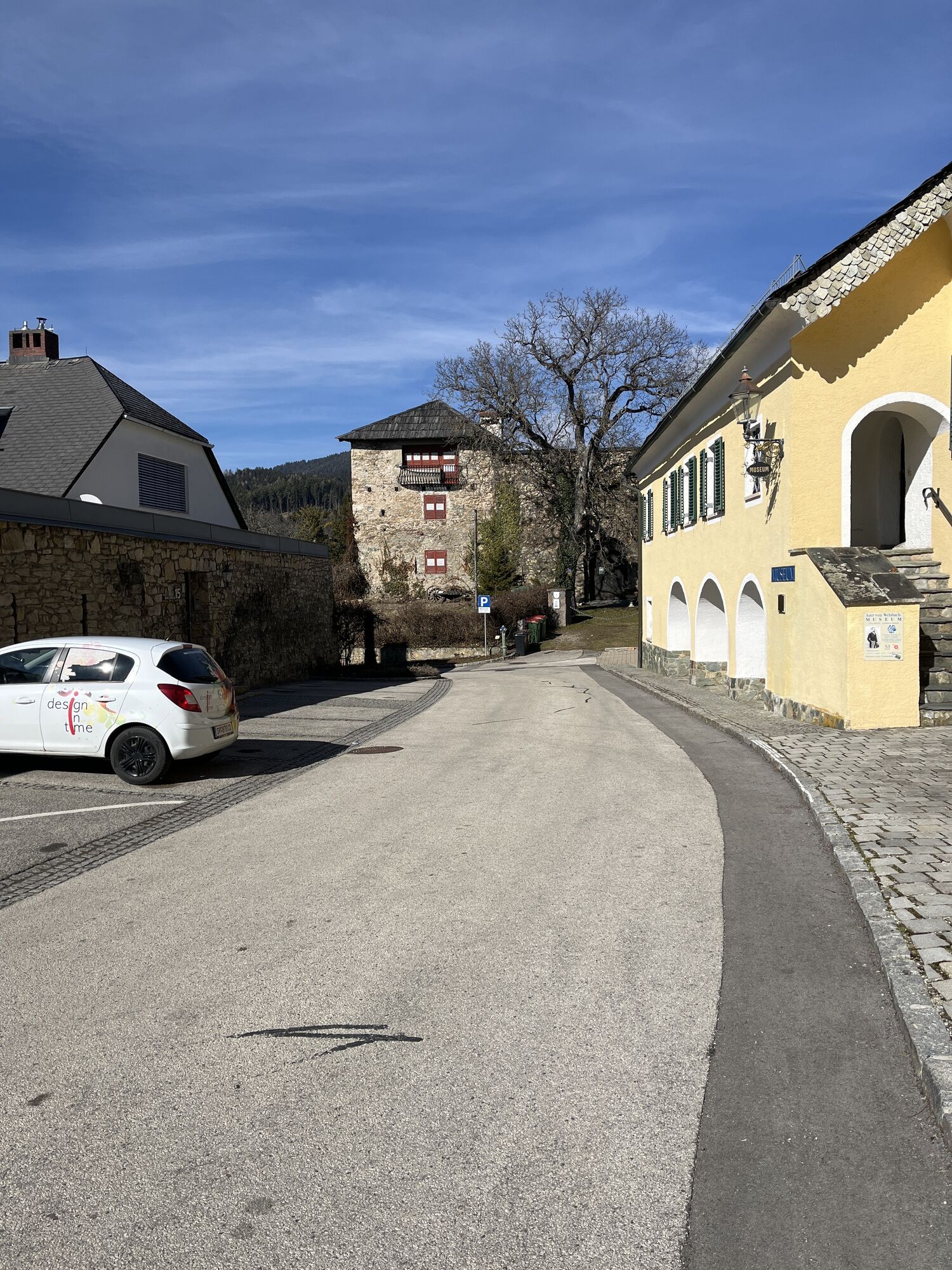
Altstadt in Althofen, Auer von Welsbach Museum


Aktivitäten entlang der Tour


Beliebte Touren in der Nähe
- 4,8
Steinerhütte-kl.+gr. Sauofen zum Gertrusk und zurück
leichtWanderung 15,0 km - 4,8
Lavanttaler Höhenweg: Etappe 6 vom Klippitztörl zur Wolfsberger Hütte
leichtWanderung 13,4 km - 4,4
Zertifizierter Wanderweg: Guttaring - Mariahilferweg - permanenter IVV Wanderweg
mittelWanderung 11,2 km - 4,3
Vom Klippitztörl auf die Forstalm mit Geierkogel und Steinerner Hochzeit.
mittelWanderung 10,5 km - 3,7
Kunstwanderweg - Längsee (1)
leichtWanderung 5,43 km - 4,8
Wintersonne auf der Saualm
leichtSchneeschuh 4,70 km - 5,0
Weißbergerhütte - Gertrusk - Ladingerspitz
mittelWanderung 8,95 km - 4,6
Saualpe: Hütten Tour - Rundwanderung
mittelWanderung 15,3 km - 4,3
Saualpenrücken – Speikkogel, Großer und Kleiner Sauofen
mittelWanderung 10,8 km - 4,1
Rundweg Schloss Frauenstein - Kraiger See
mittelWanderung 6,96 km
Wandern & Tracking


Verpasse keine Angebote und Inspirationen für deinen nächsten Urlaub
Deine E-Mail-Adresse wurde in den Verteiler eingetragen.


