







UTVV CASTRA 10 km

Schwierigkeitsgrad: T1
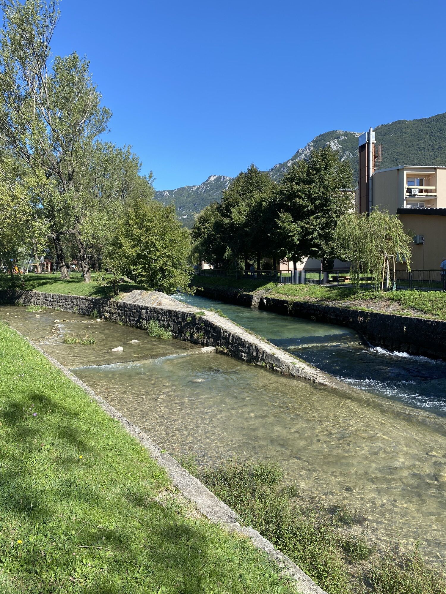
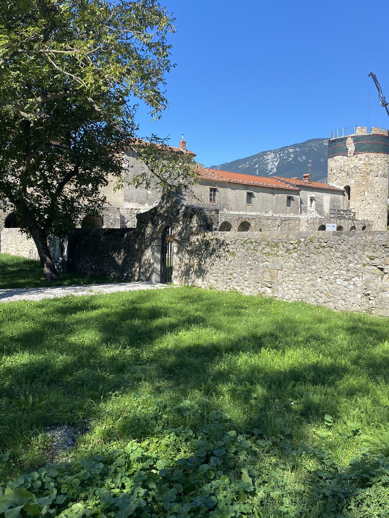
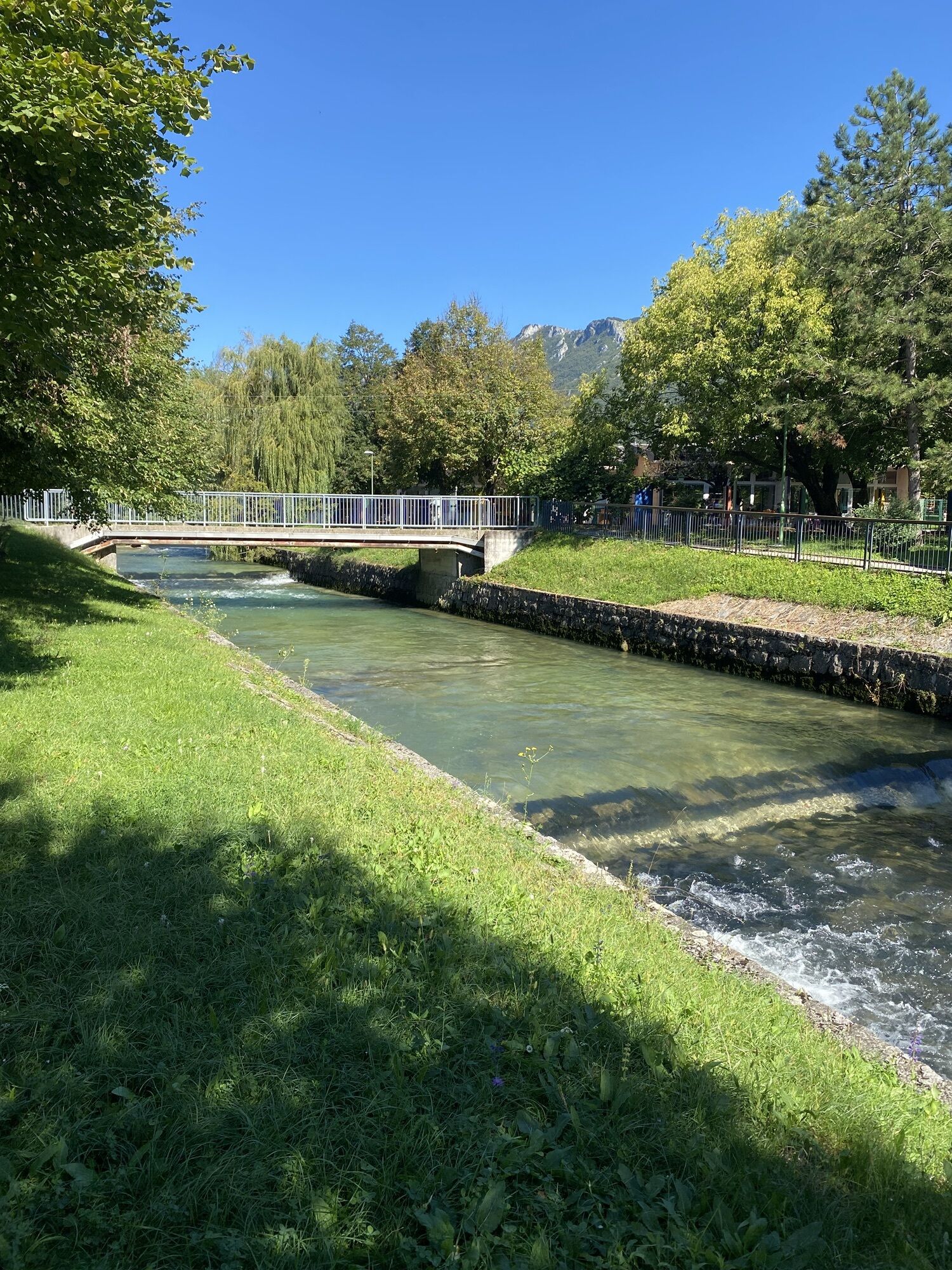
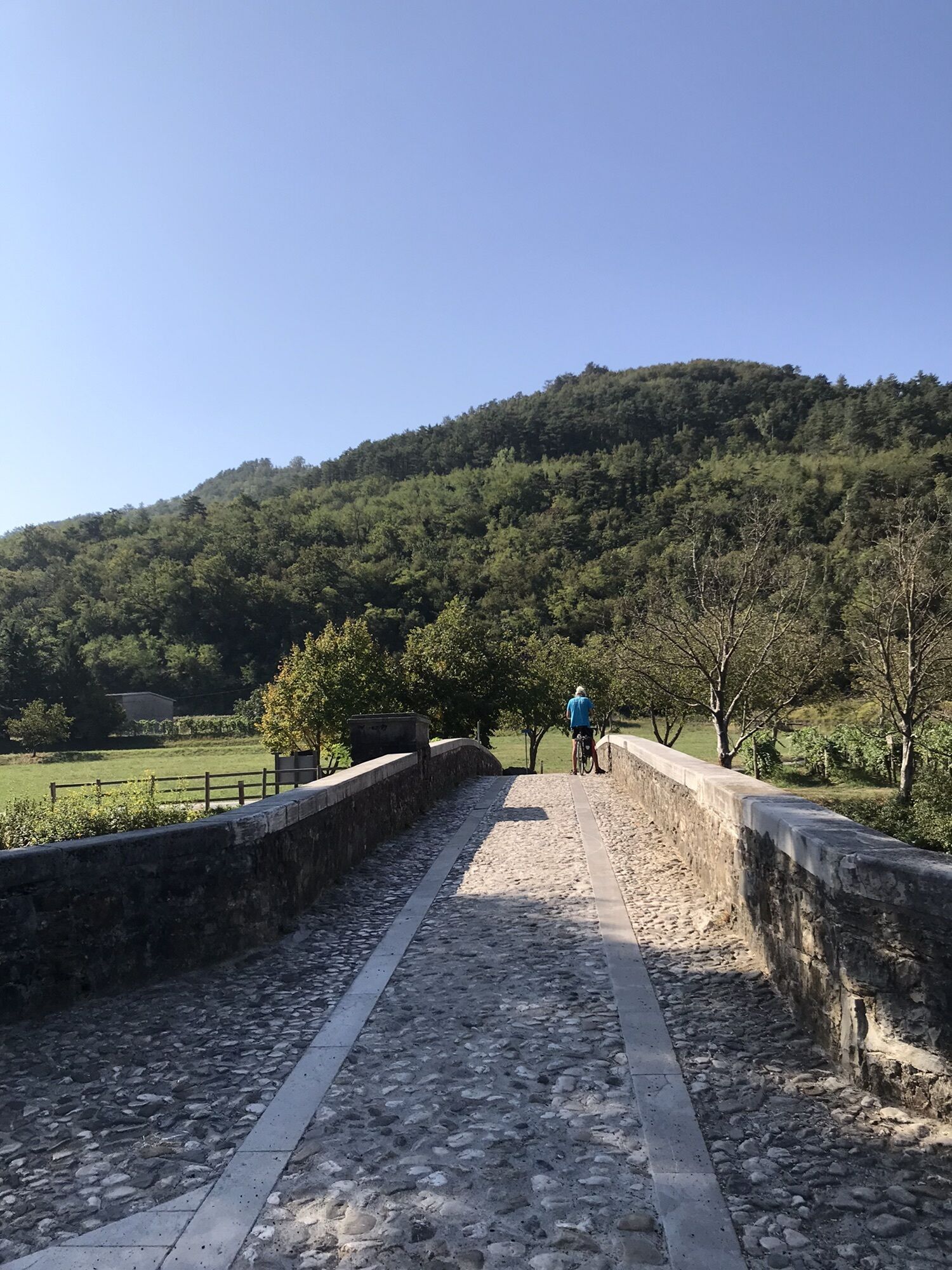
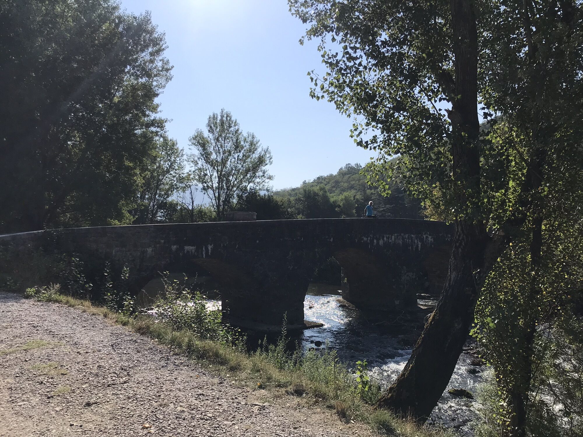
Castra 10 km is the most accessible of the UTVV routes and an ideal introduction to running in the Vipava Valley. Starting in Ajdovščina, the route quickly leaves the town and enters the open landscape...
Castra 10 km is the most accessible of the UTVV routes and an ideal introduction to running in the Vipava Valley. Starting in AjdovšÄina, the route quickly leaves the town and enters the open landscape of the Upper Vipava Valley.
The course first heads towards Ustje, crossing a characteristic rural landscape of fields, orchards and cultivated land. From Ustje, it continues east towards Dolenje, with the steep northern slopes of the valley providing a constant mountain backdrop.
With very little elevation gain, Castra is predominantly fast and runnable, combining rural tracks, paths and quiet local roads. From Dolenje, the route turns north and crosses the open valley floor to return to AjdovšÄina.
Rather than heading into the mountains, Castra showcases the agricultural landscape and villages around AjdovšÄina, making it suitable for recreational runners and anyone looking for a shorter introduction to the UTVV experience.
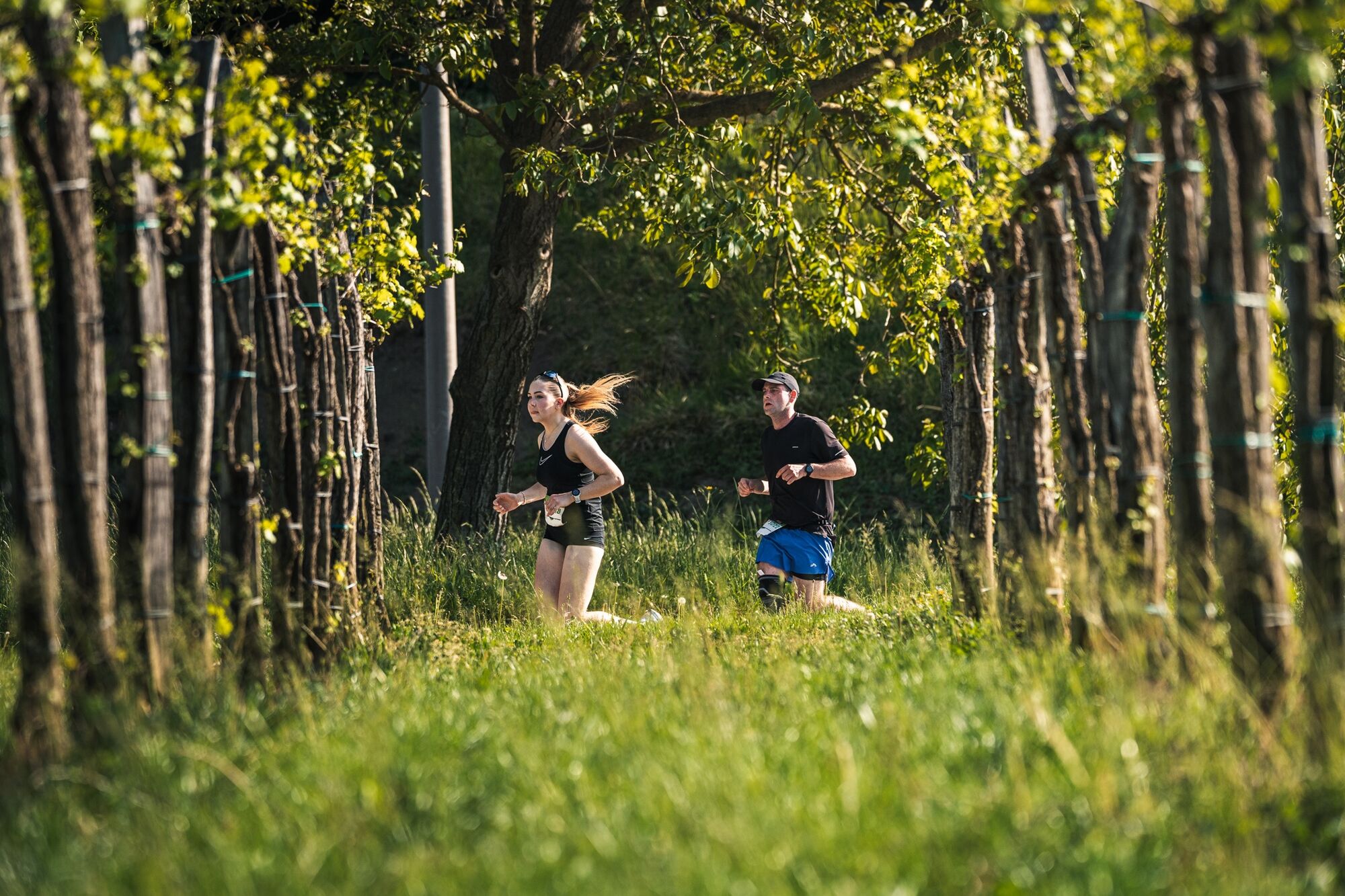
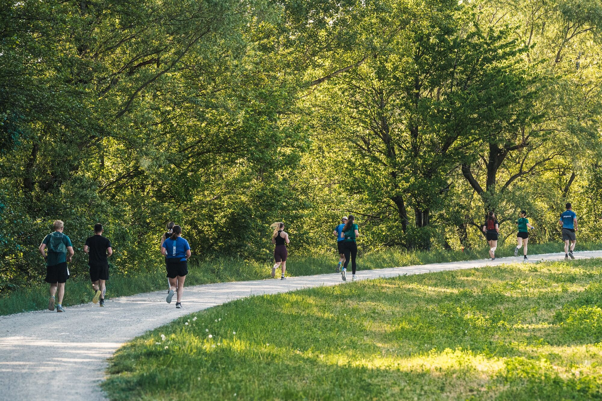
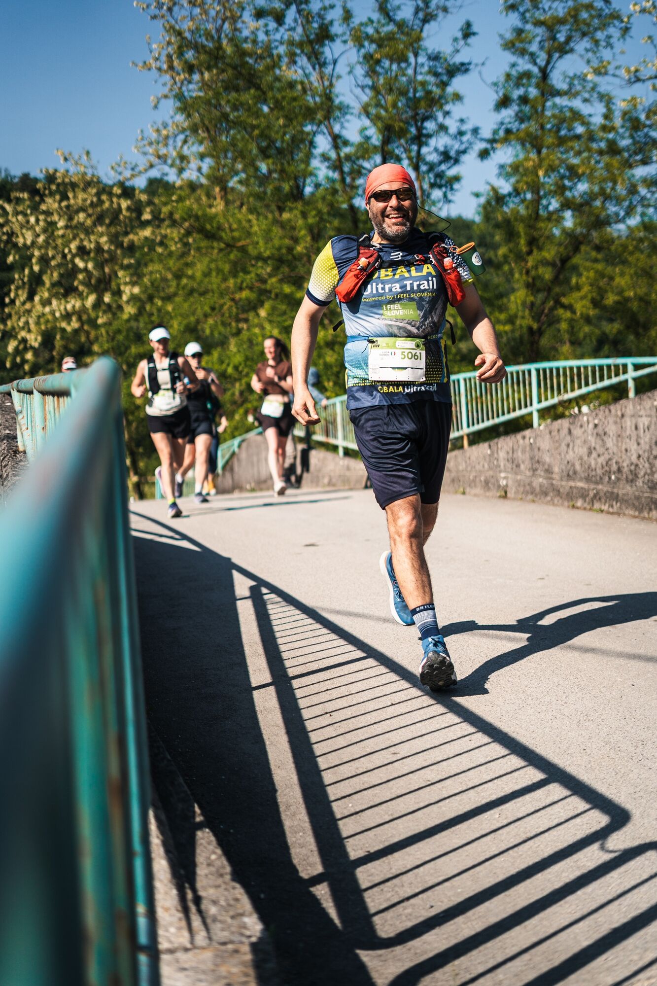
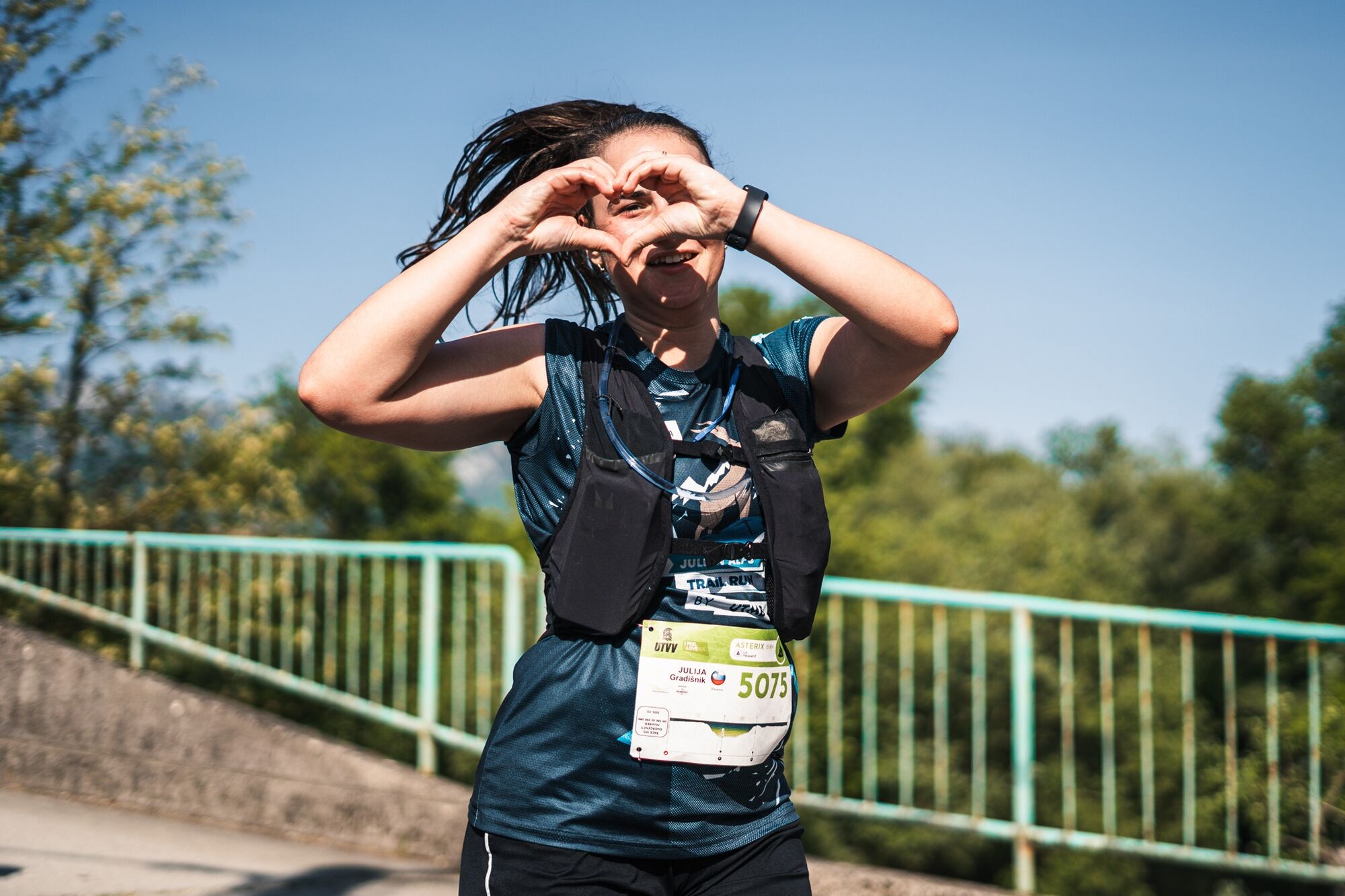
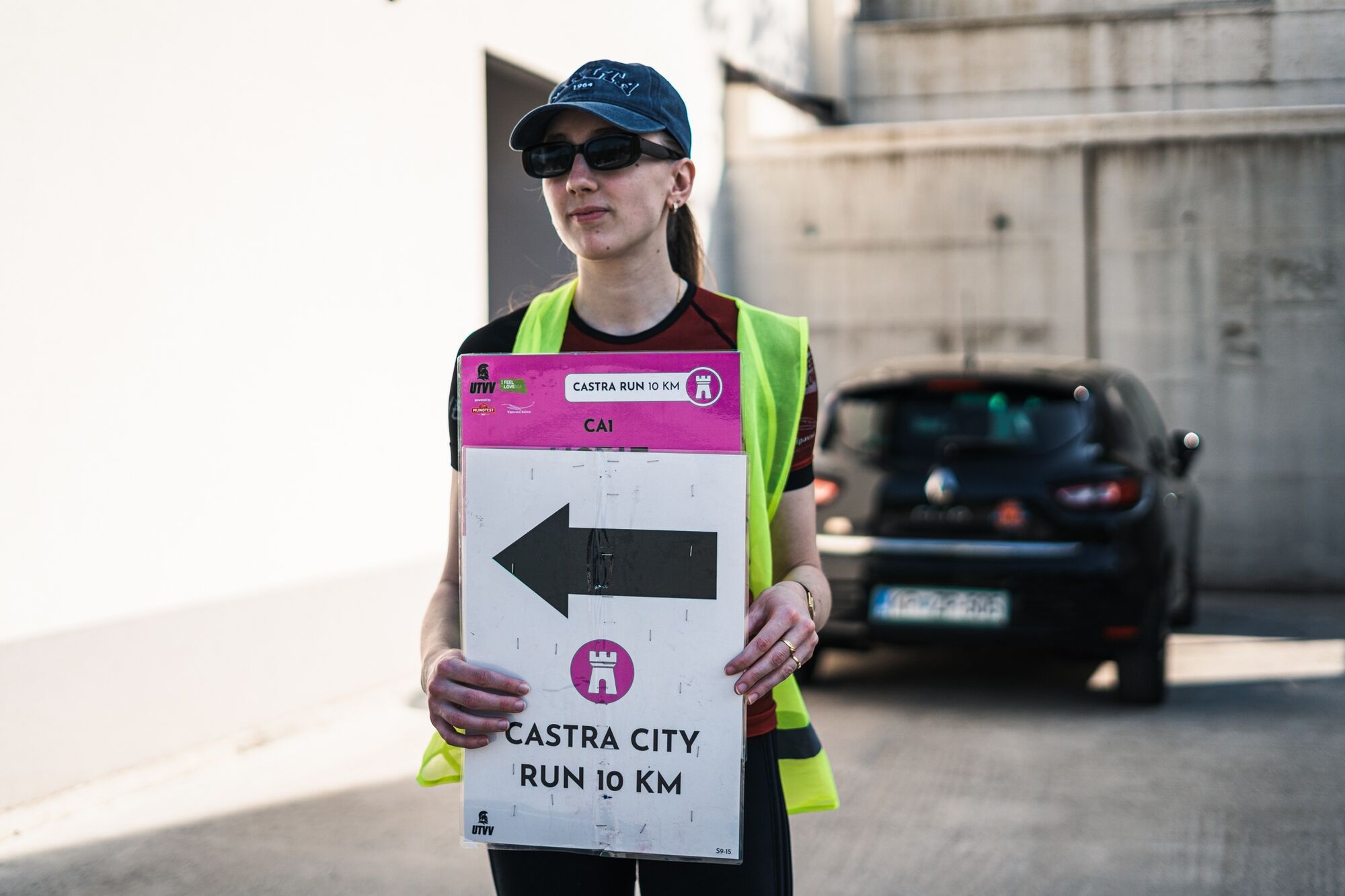
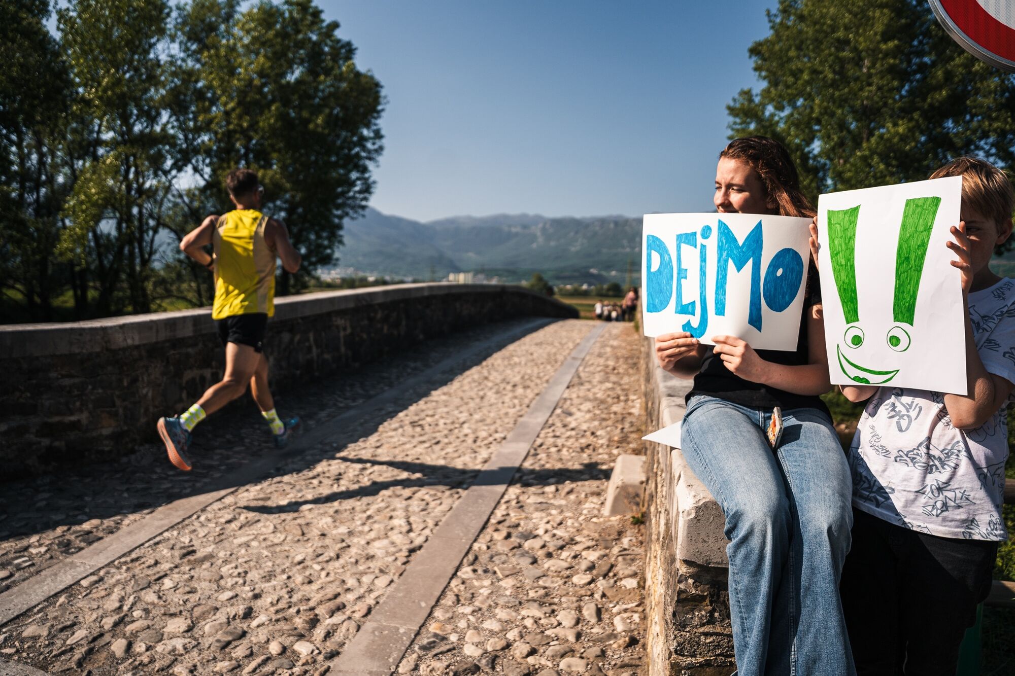

The route starts in AjdovšÄina and initially heads west and south-west, leaving the urban area and entering the open agricultural landscape of the Upper Vipava Valley.
The first part is predominantly flat and fast, following rural tracks and paths towards Ustje.
Around Ustje, the route turns east and continues through the countryside towards Dolenje. This section passes through a mixture of fields, orchards and cultivated land, with views towards the surrounding hills and the steep northern edge of the Vipava Valley.
At Dolenje, the course changes direction and begins the return towards AjdovšÄina. The final section crosses the open valley floor before entering the town and returning to the finish.
With minimal elevation gain, the route remains highly runnable throughout and has no significant mountain or technical sections.
Ja
Ja
Ja
Recommended equipment:
comfortable running or light trail running shoes
sufficient water
lightweight running belt or vest if required
smartphone or GPS watch with the route downloaded
fully charged mobile phone
sun protection in warmer conditions
light windproof layer during burja conditions
lightweight waterproof jacket when required by the forecast
The terrain is considerably less technical than on the longer UTVV routes, so heavy mountain equipment is normally unnecessary in good conditions.
During the official UTVV event, always follow the organiser's current mandatory equipment requirements.
Castra is a relatively easy and non-technical running route, but normal outdoor precautions still apply.
The course uses rural tracks, paths and local roads. Take particular care at road crossings and on sections shared with local traffic, cyclists and agricultural vehicles.
After prolonged rain, unpaved sections may become muddy or slippery.
Much of the route is exposed to the sun, and temperatures on the valley floor can become high during warmer months.
Strong burja winds can also affect the open sections of the route.
Outside the organised UTVV event, do not rely on race markings. Download the GPX route and carry reliable navigation.
The route starts in AjdovšÄina, in the Upper Vipava Valley.
AjdovšÄina is easily accessible from the H4 expressway, connecting the Vipava Valley with Nova Gorica and the Slovenian motorway network towards Ljubljana.
Follow signs for AjdovšÄina and the designated starting area.
During the official UTVV I Feel Slovenia event, follow the organiser's current instructions for start access and traffic arrangements.
Regional bus services connect AjdovšÄina with settlements across the Vipava Valley and with larger transport centres in western Slovenia.
Because the route starts and finishes in AjdovšÄina, no transfer between trailheads is required.
Check current timetables before travelling, particularly at weekends and on public holidays.
Public parking is available in AjdovšÄina.
For an independent run, use official public parking and avoid private or residential parking areas.
During the organised UTVV event, use the parking areas designated by the organiser.
T1
An excellent introduction to running in the Vipava Valley.
The predominantly flat terrain makes Castra particularly suitable for recreational runners.
Spring and autumn offer especially pleasant running conditions.
Start early during hot summer days, as much of the route is exposed.
Check the burja forecast before departure.
Take care on local roads and agricultural tracks.
Download the GPX route when running outside the organised event.
Respect agricultural land, orchards, vineyards and local communities.
A perfect first UTVV experience: fast, accessible and ideal for discovering the rural landscape around Ajdovščina on foot.
Beliebte Touren in der Nähe
- 4,0
Das Otlica-Fenster
mittelWanderung 10,5 km Gradiška Tura (Klettersteig) – Abram
schwerKlettersteig 11,9 kmCarsus Trail - ein Fernwanderweg durch die Karstregion in Slowenien und Italien
mittelFernwanderweg 102,2 km- 5,0
Vipava - Oltar - Gradiška Tura
mittelWanderung 3,85 km - 5,0
Weg am Rand
leichtWanderung 14,5 km Am Hubelj entlang auf dem naturwissenschaftlichen Lehrpfad
leichtWanderung 3,79 km- 2,0
Oberes Vipava-Tal
leichtRadfahren 34,2 km Rundweg Skrlanka
leichtWanderung 5,75 kmAuf den Spuren von Vertovec
leichtWanderung 17,7 kmVitovlje Rundwanderweg
mittelWanderung 7,80 km

Wandern & Tracking


Verpasse keine Angebote und Inspirationen für deinen nächsten Urlaub
Deine E-Mail-Adresse wurde in den Verteiler eingetragen.





