







UltraXSlovenia60
Schwierigkeitsgrad: T2
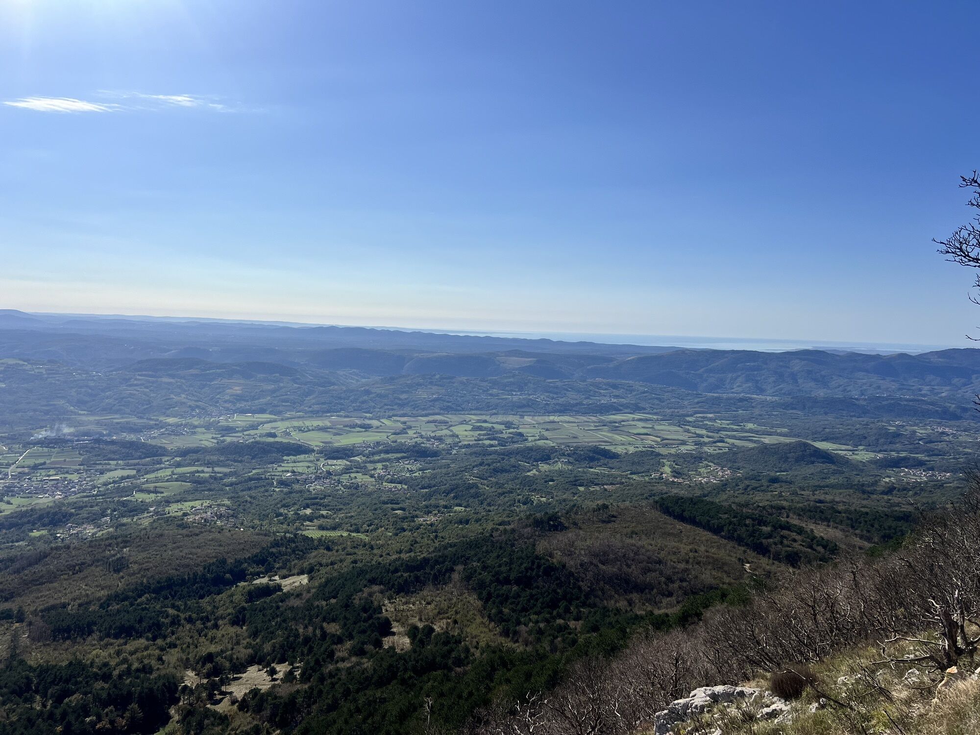
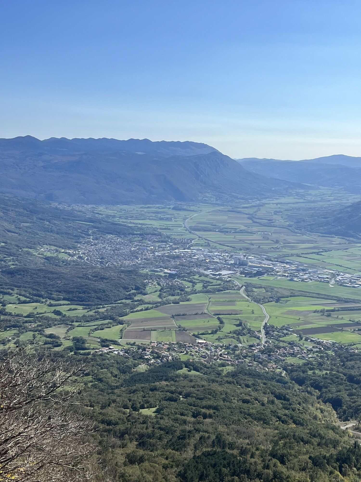
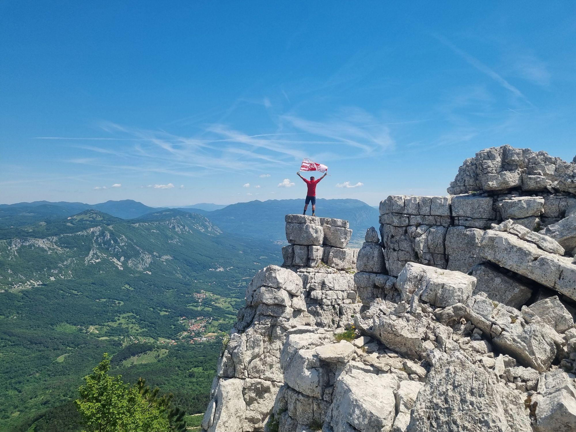
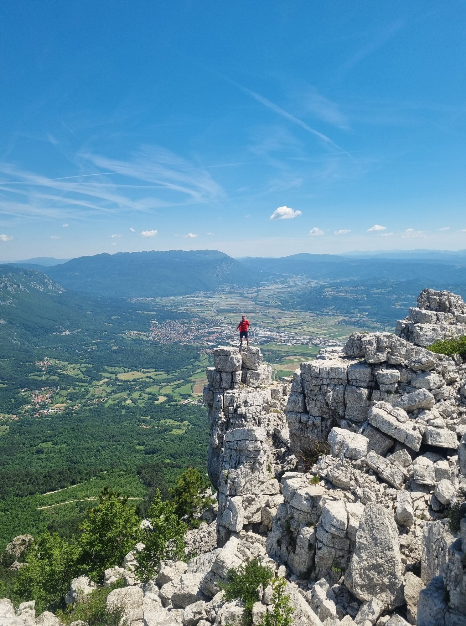
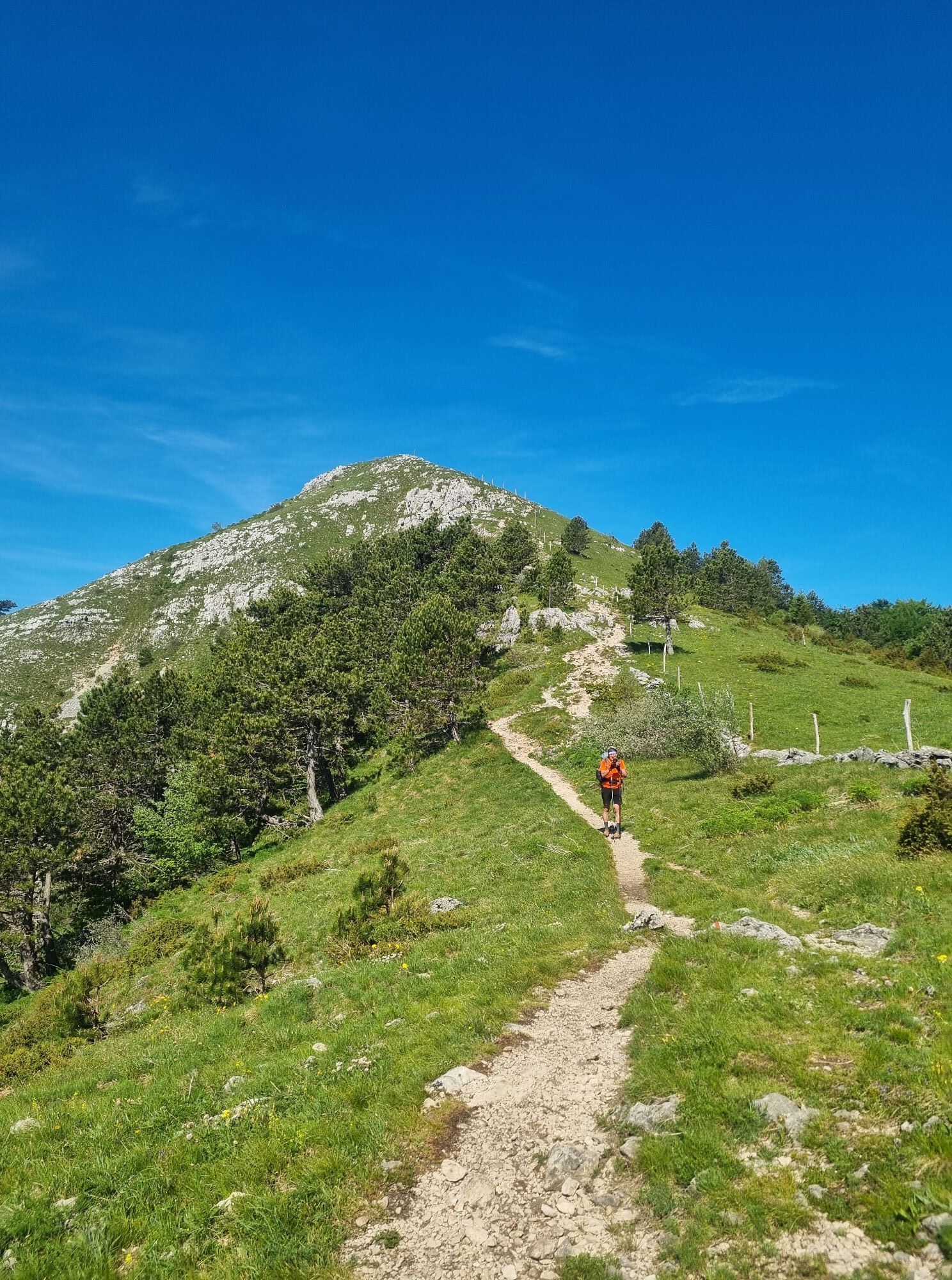
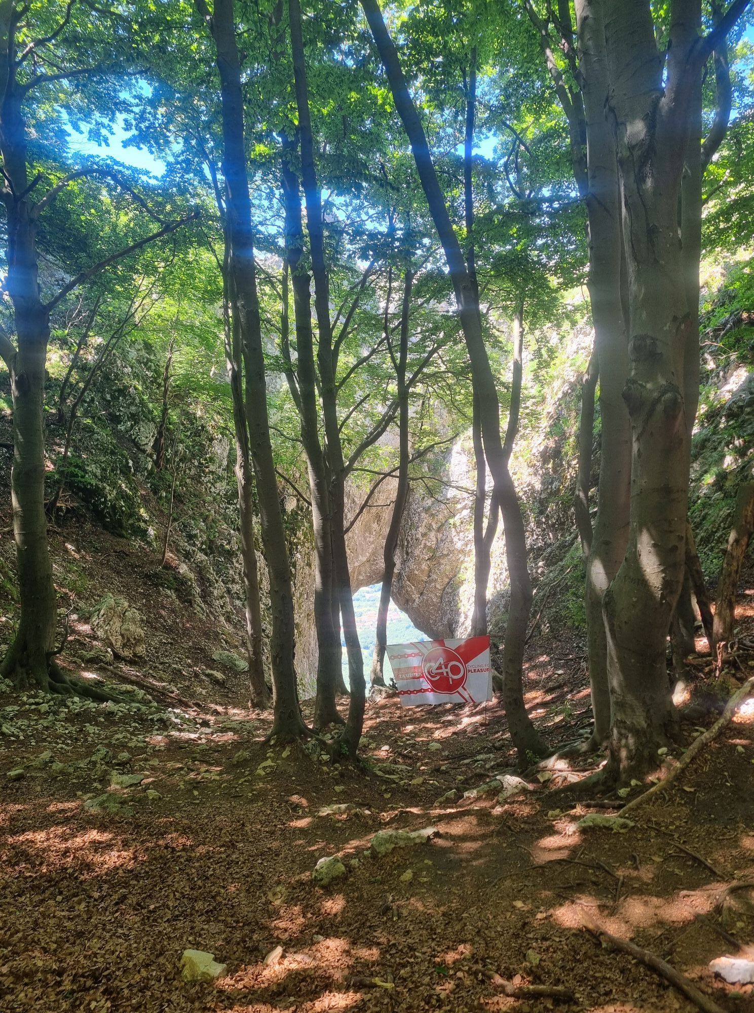
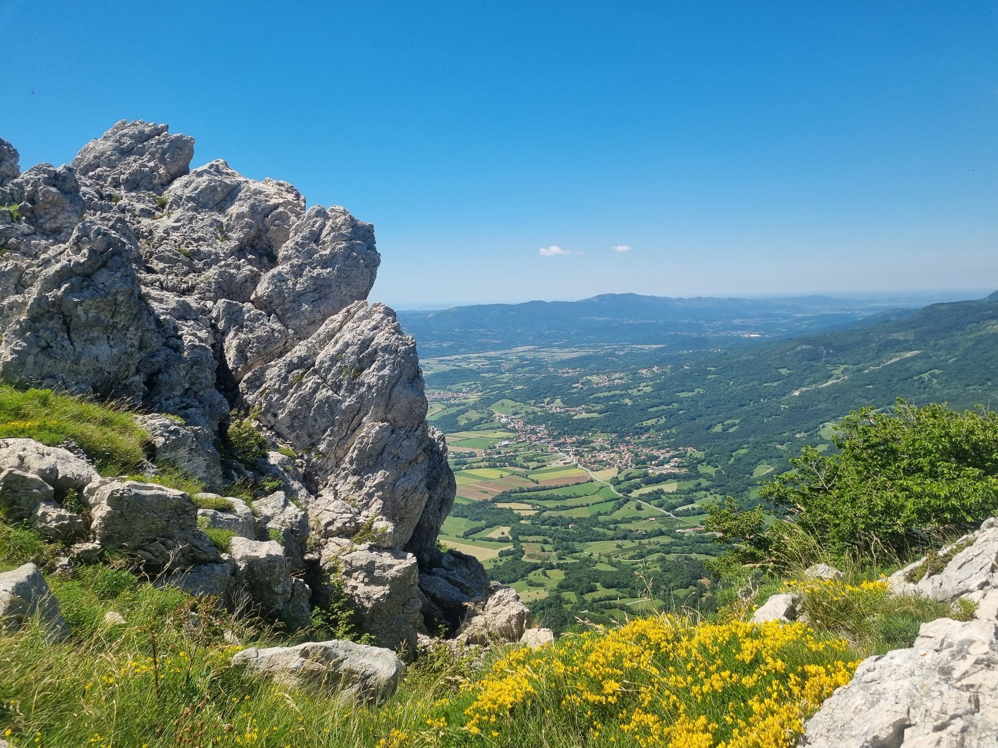
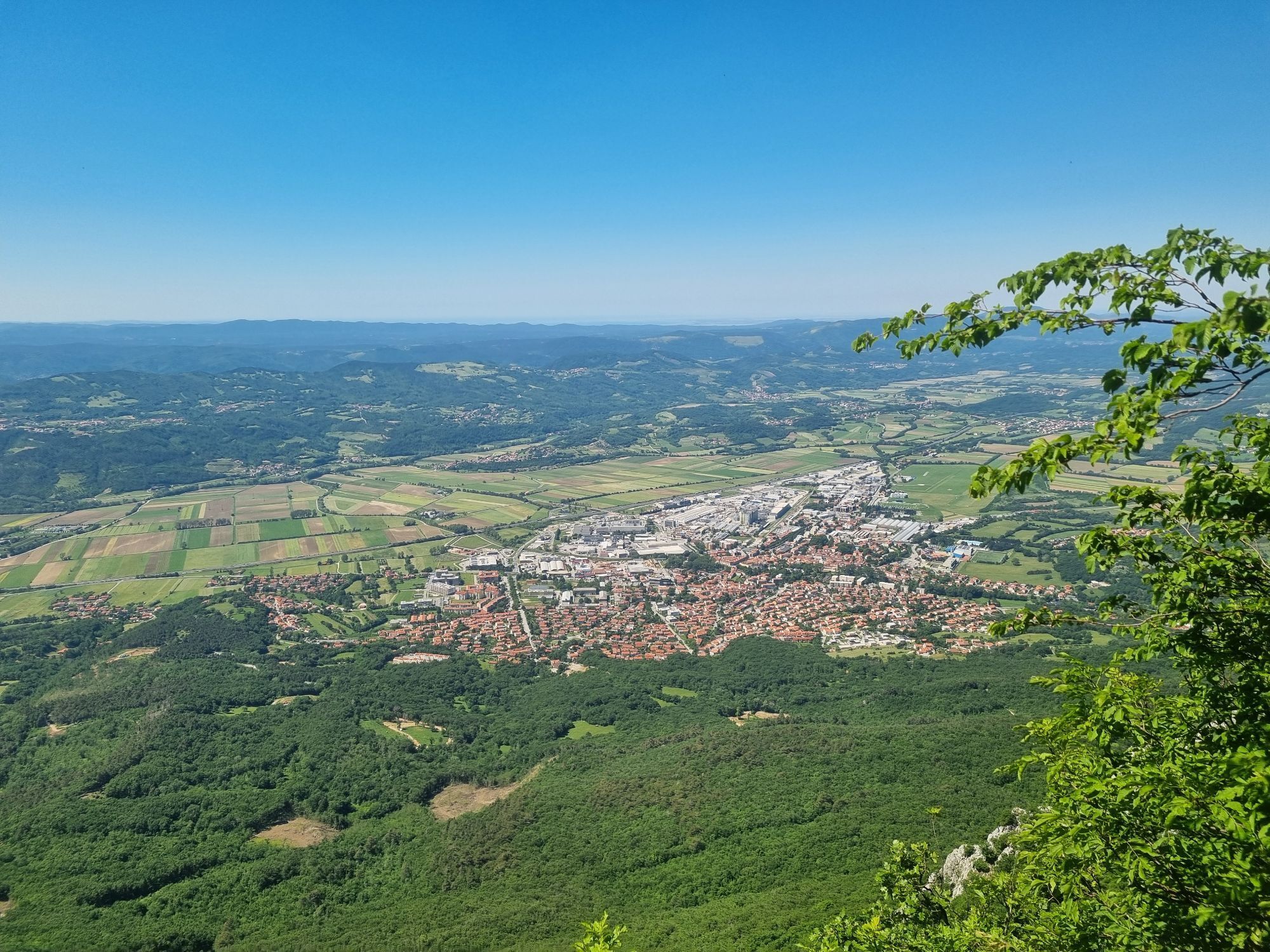
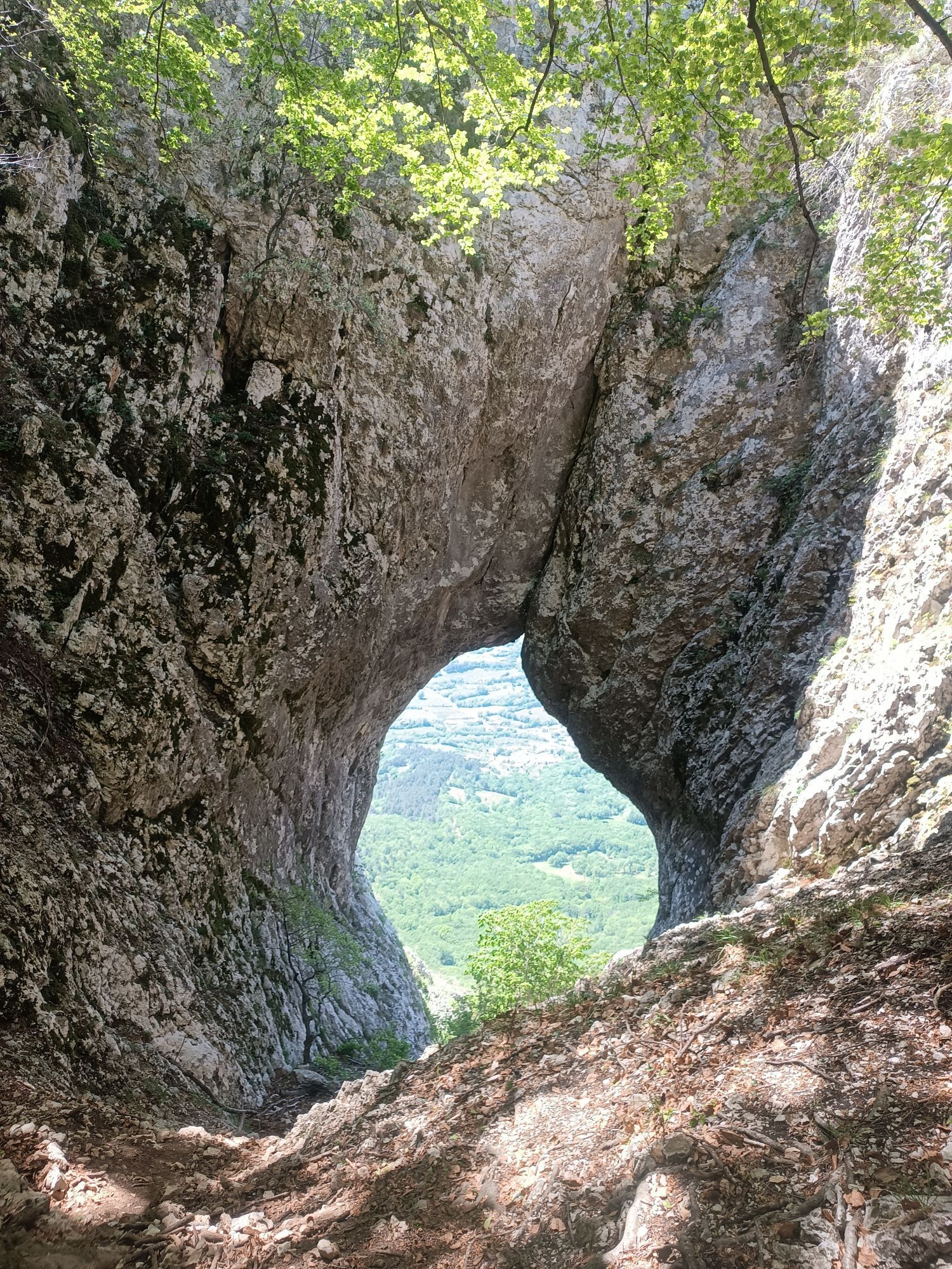
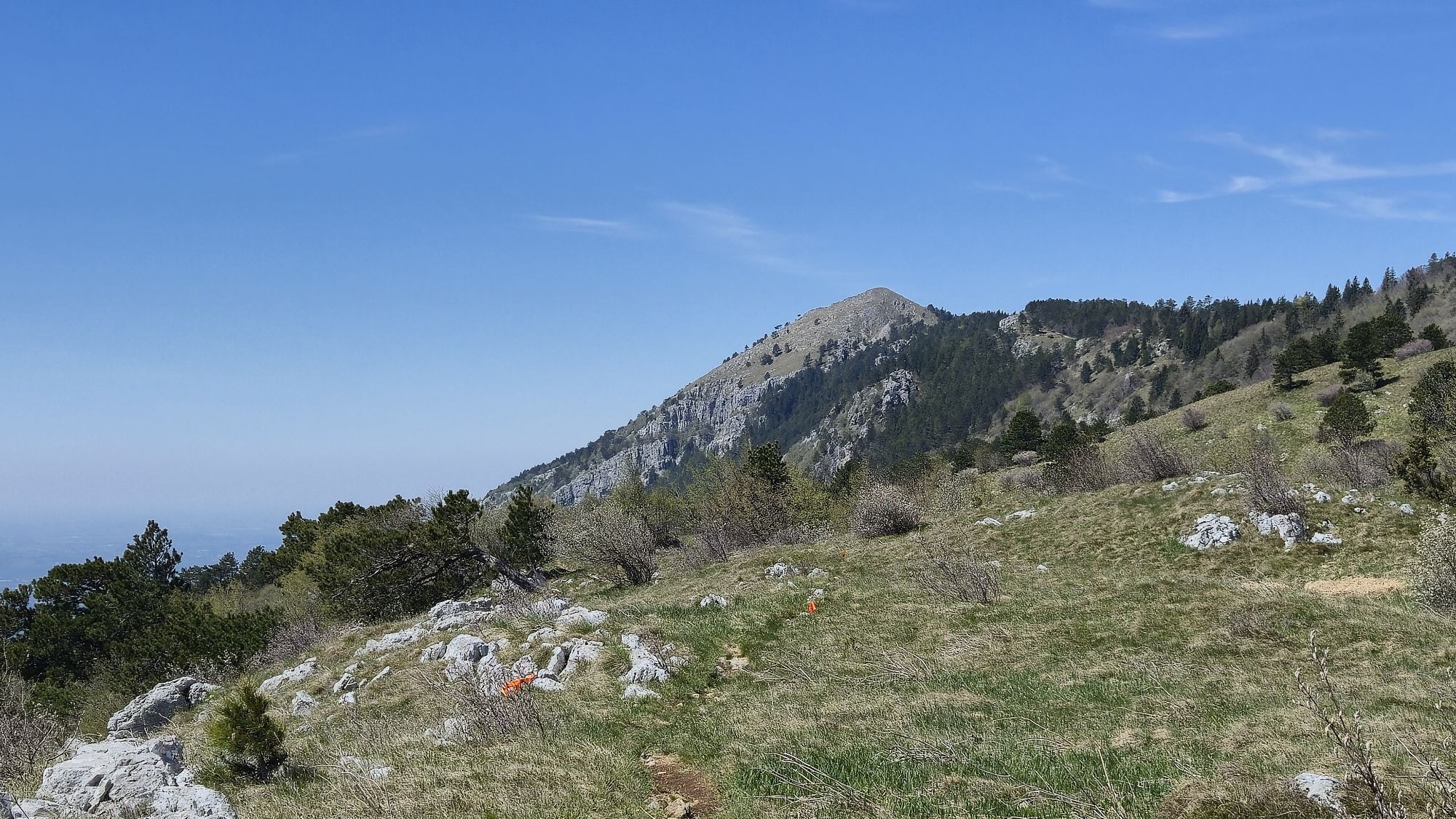
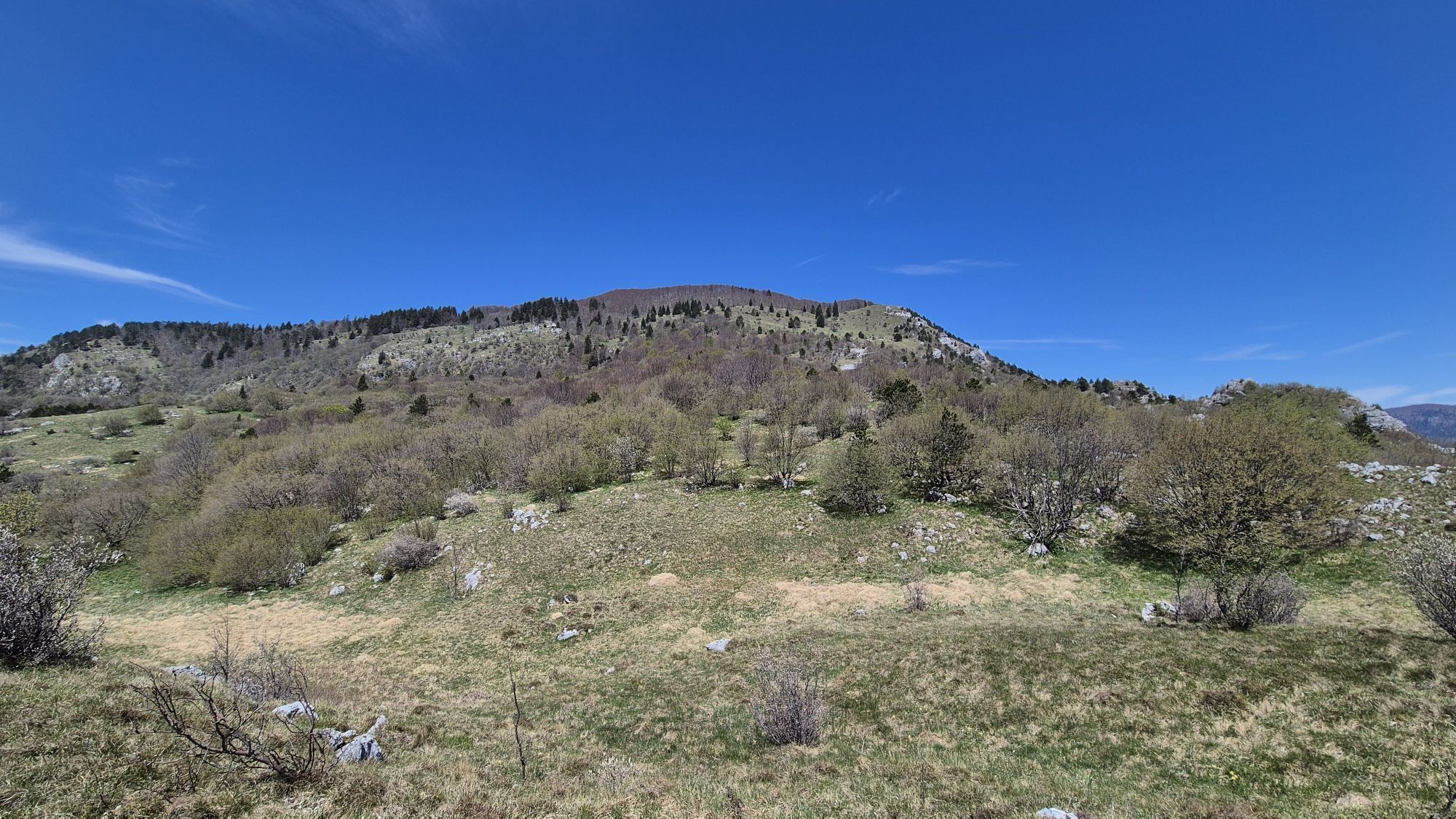
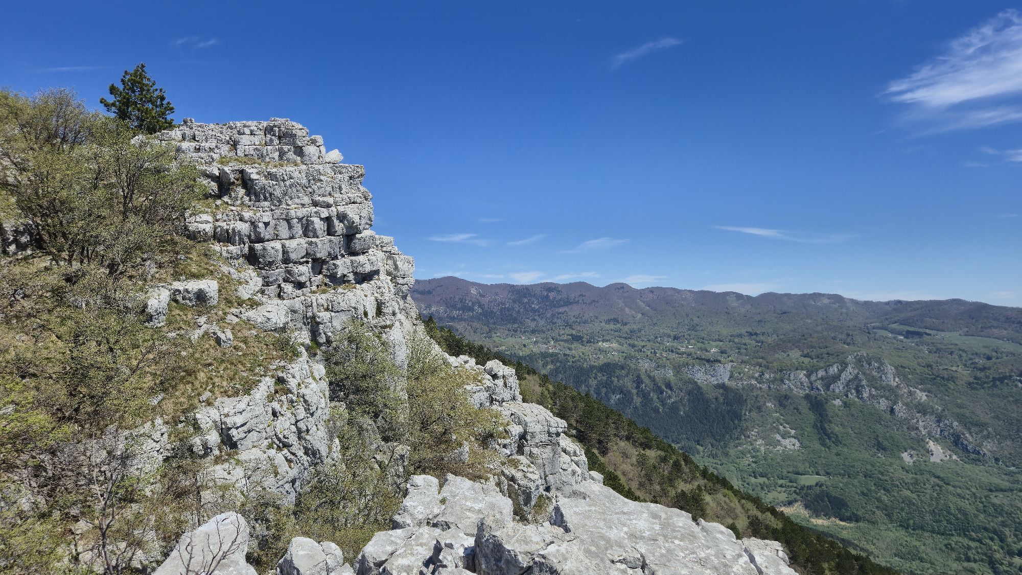
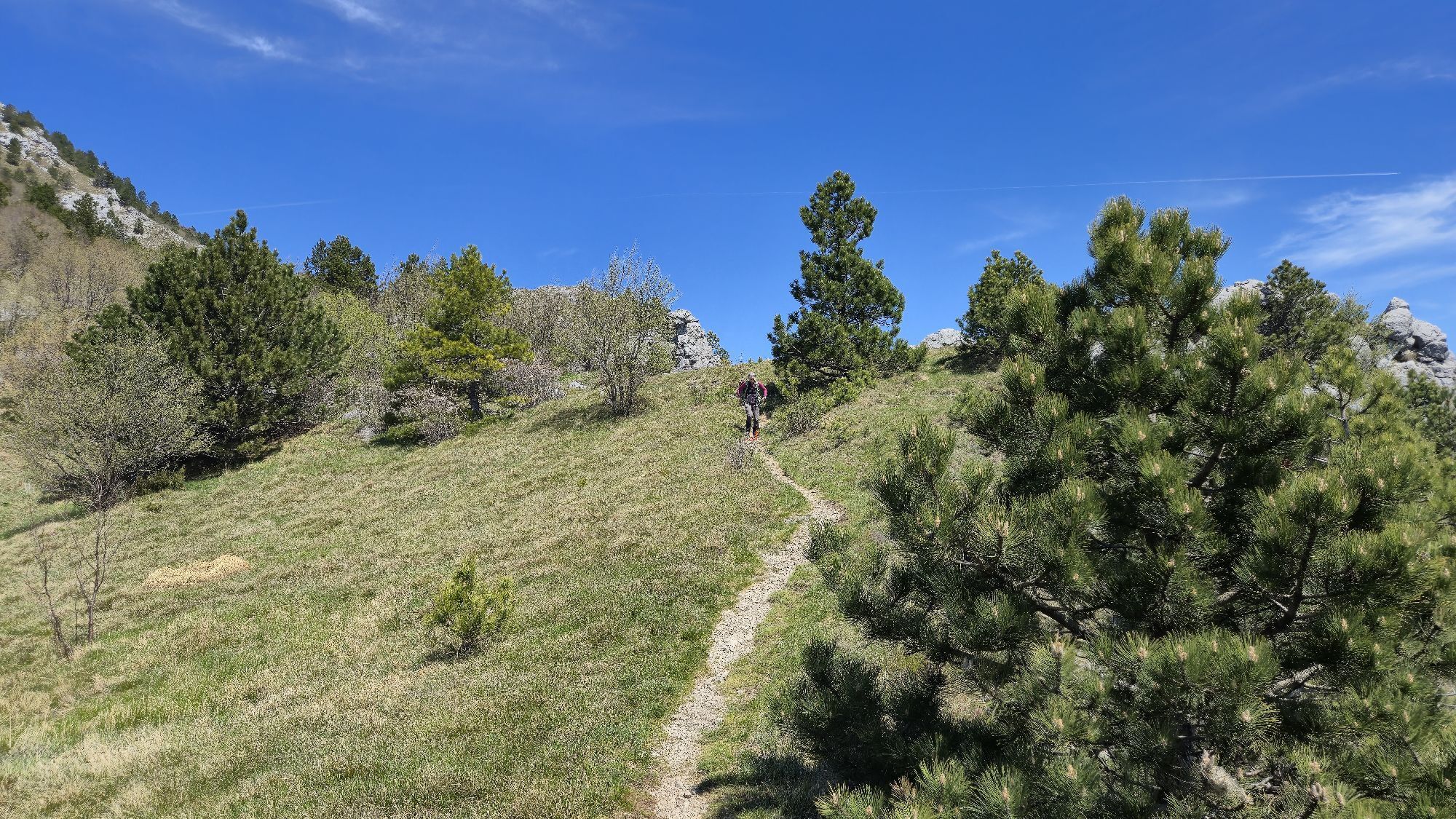
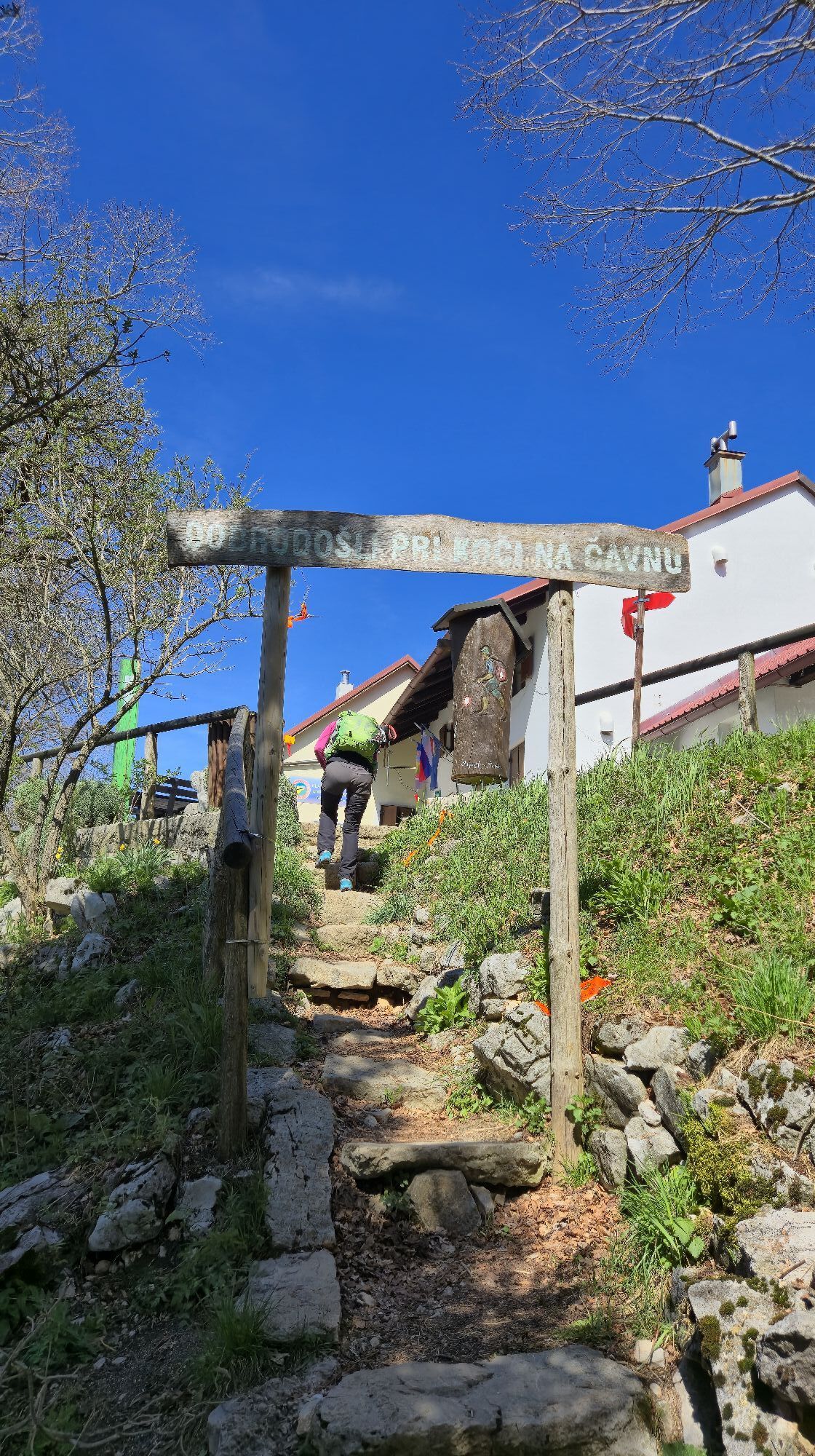
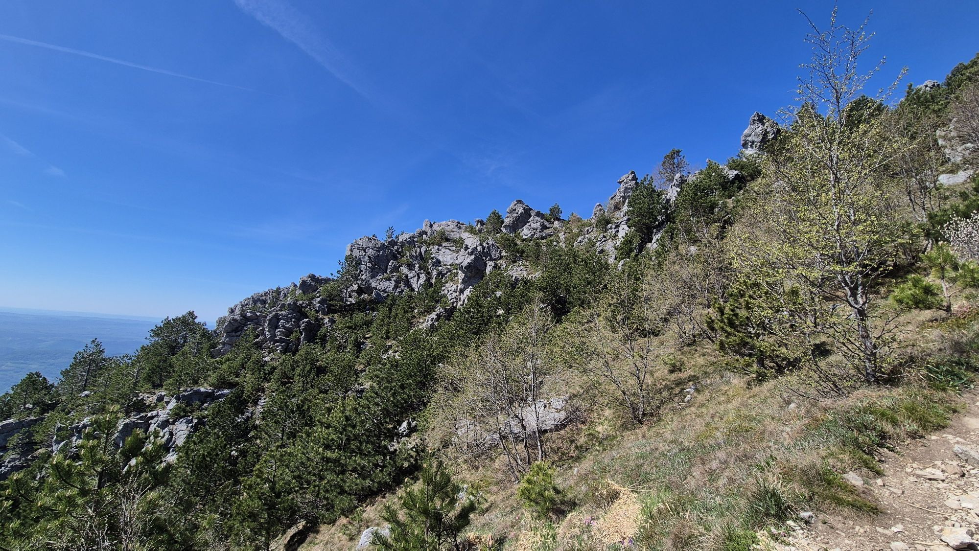
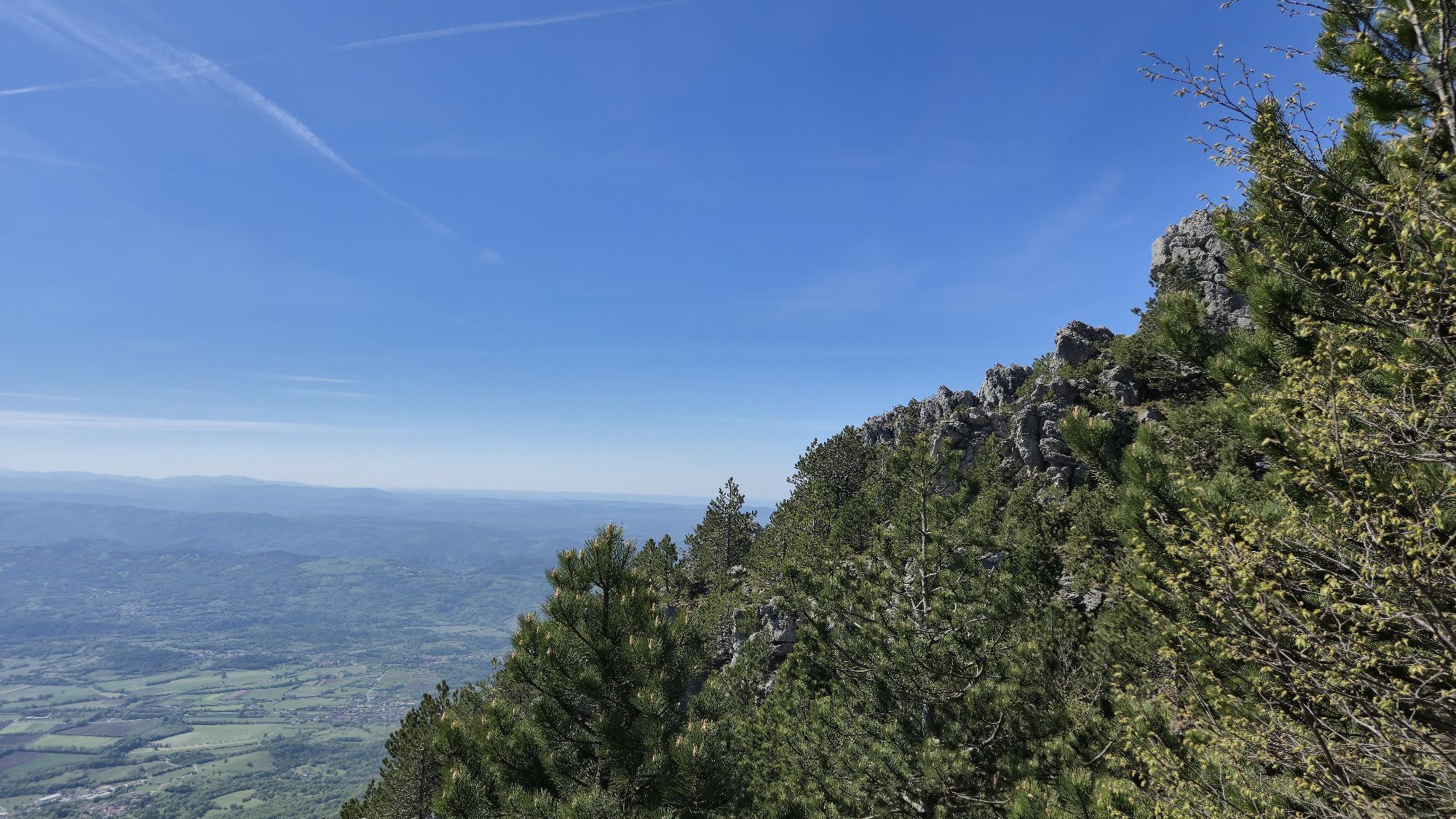
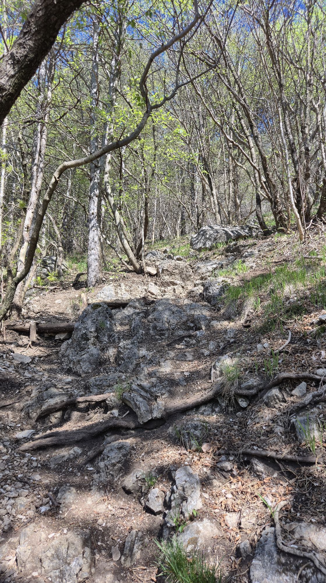
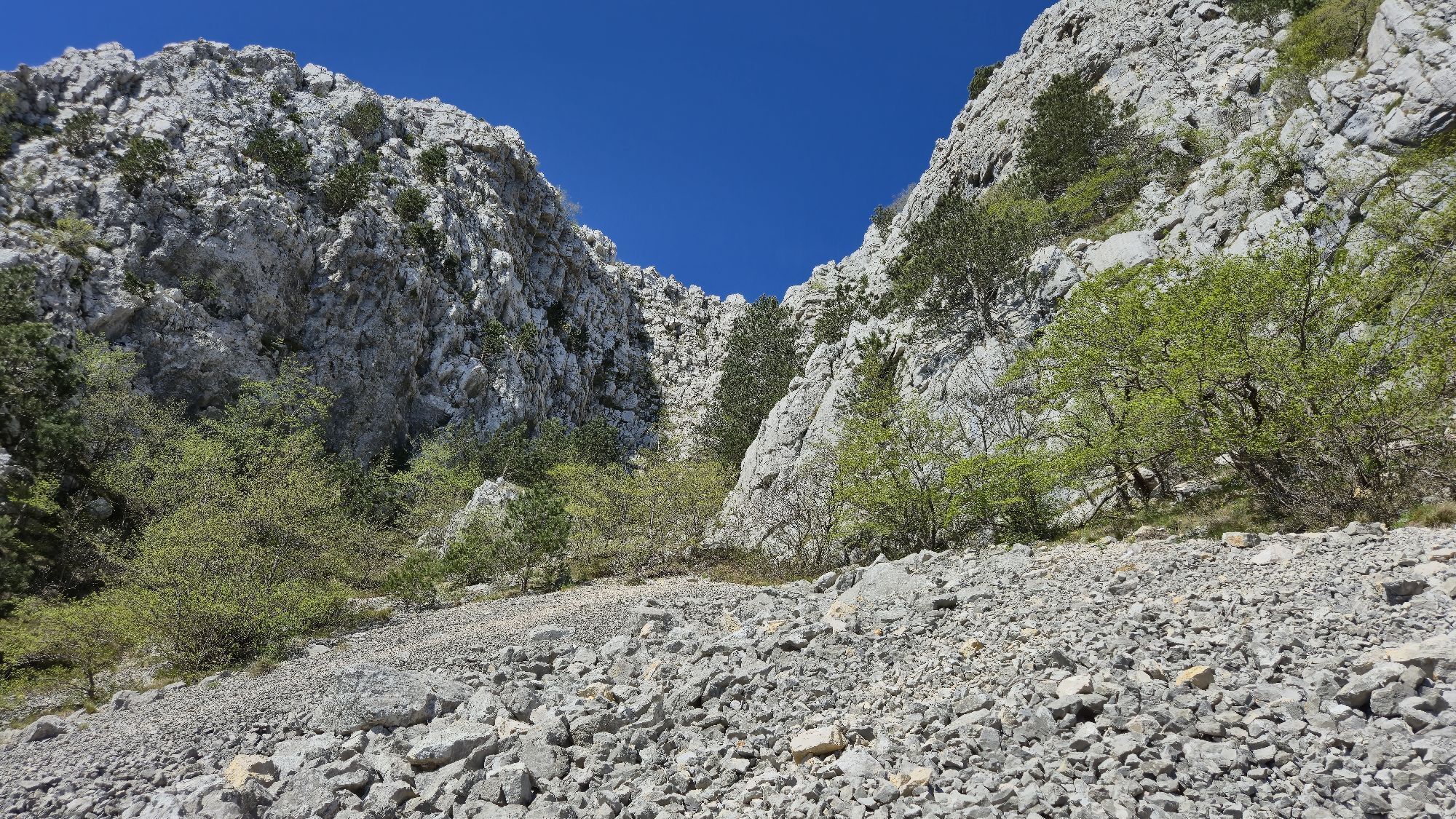
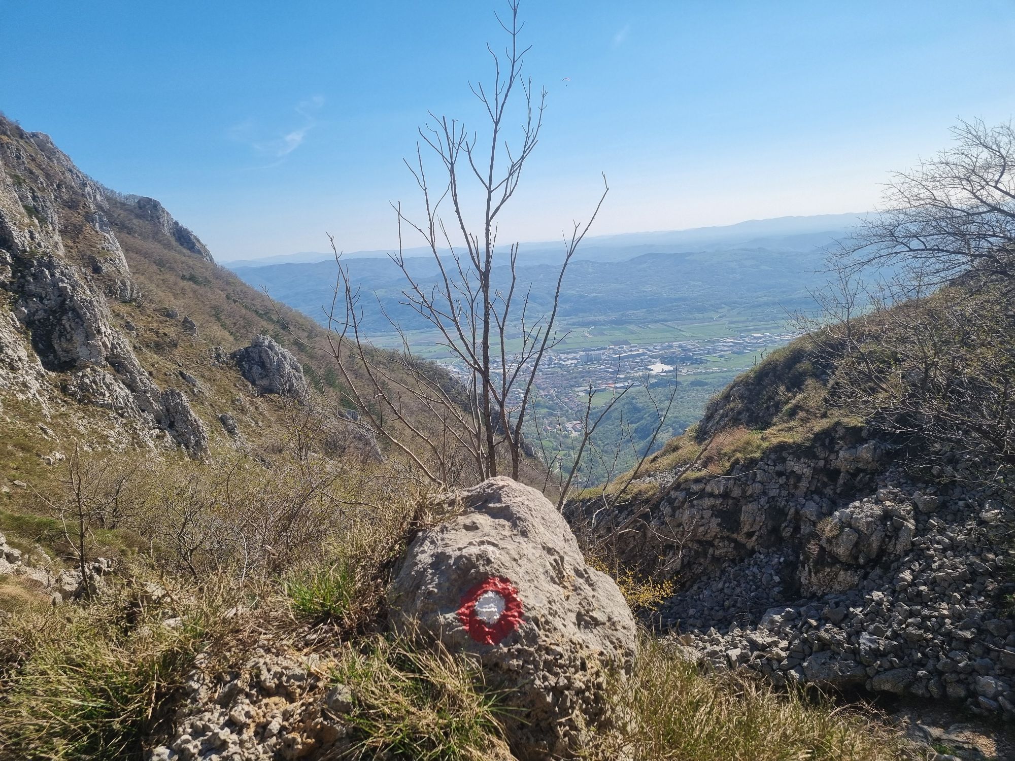
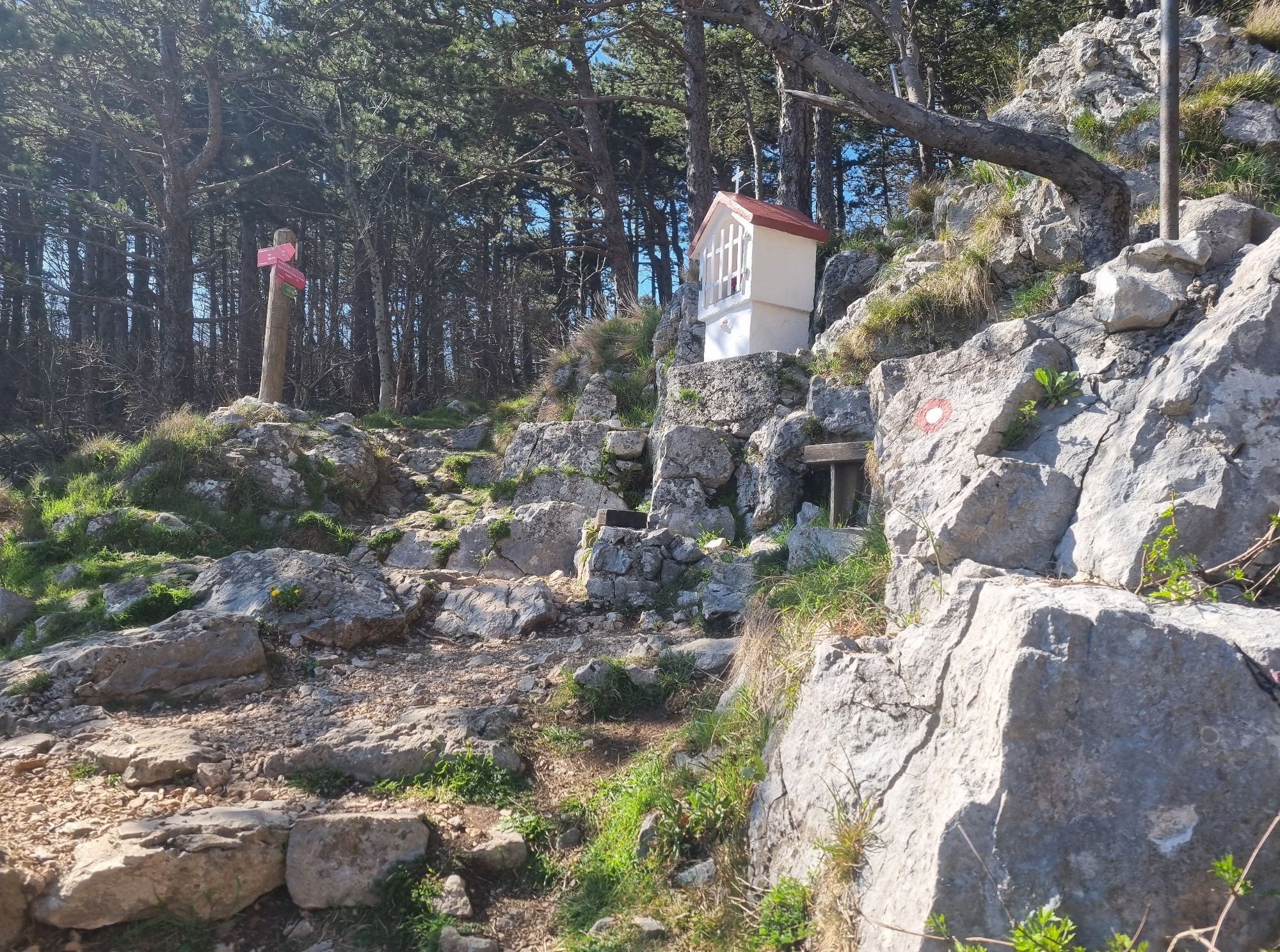
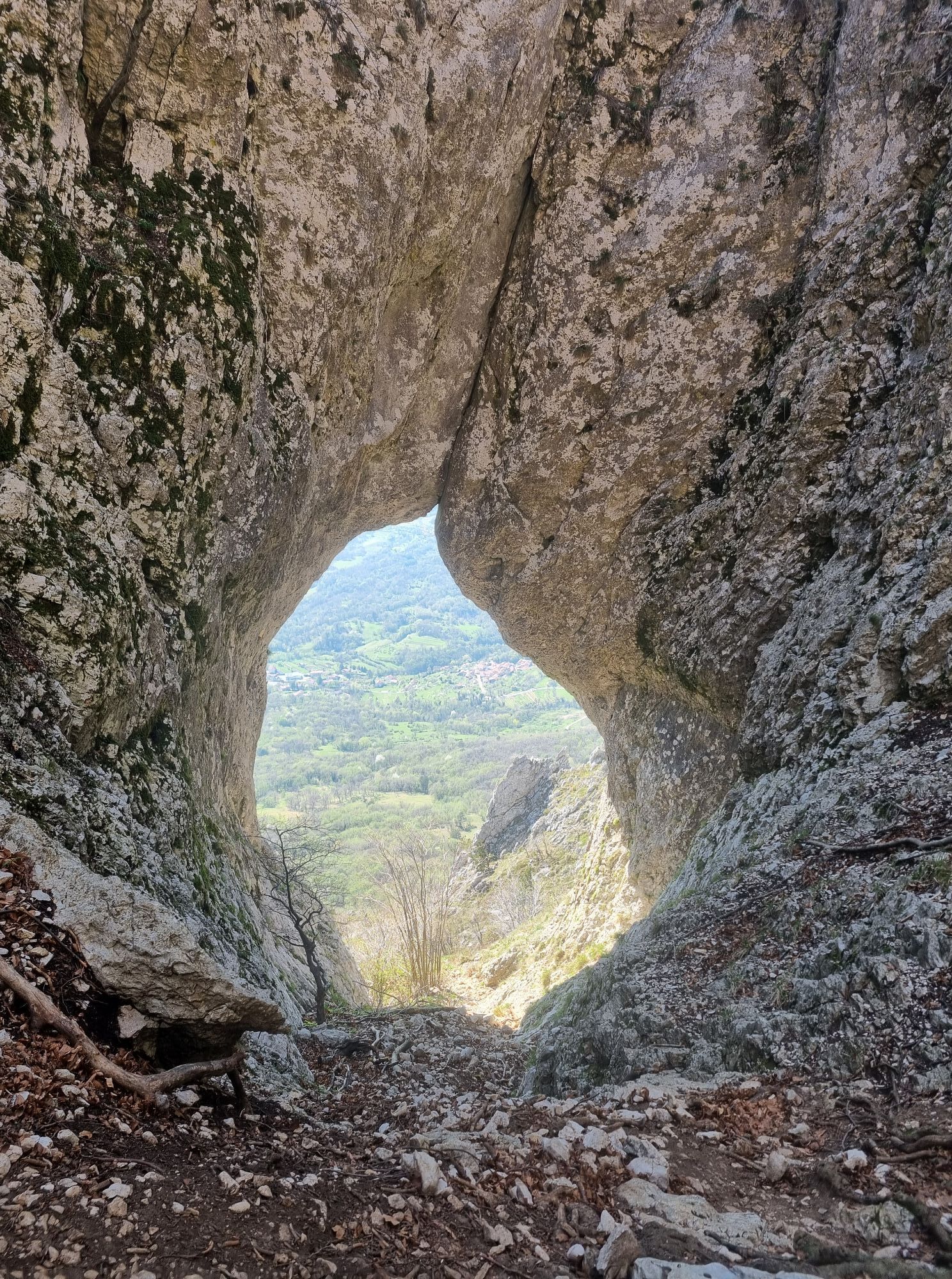
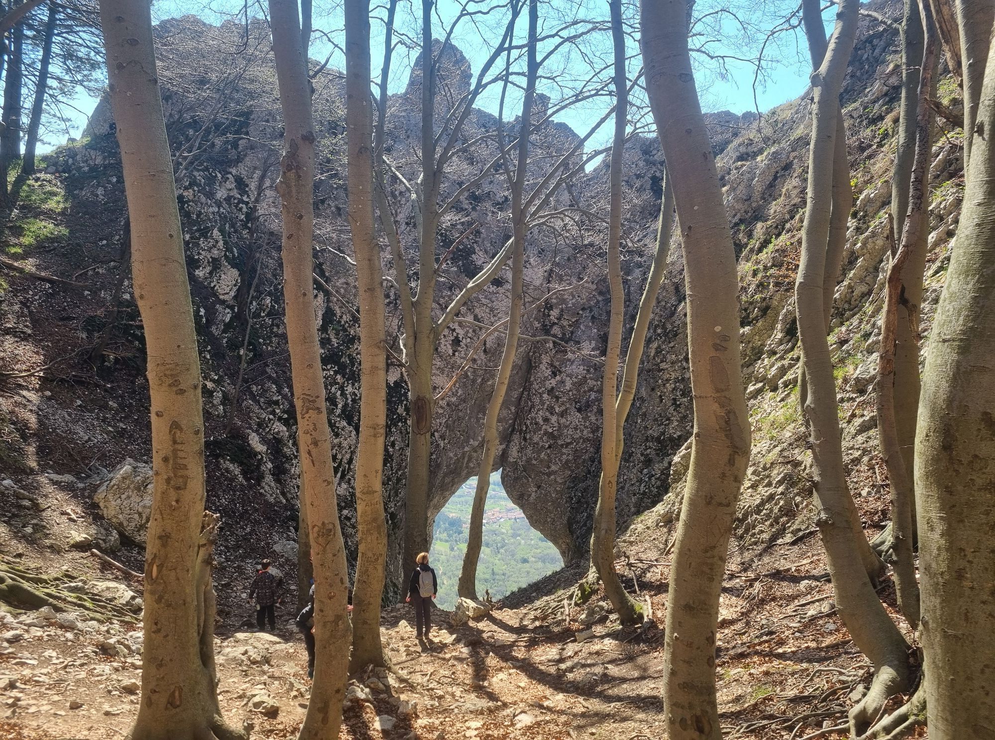
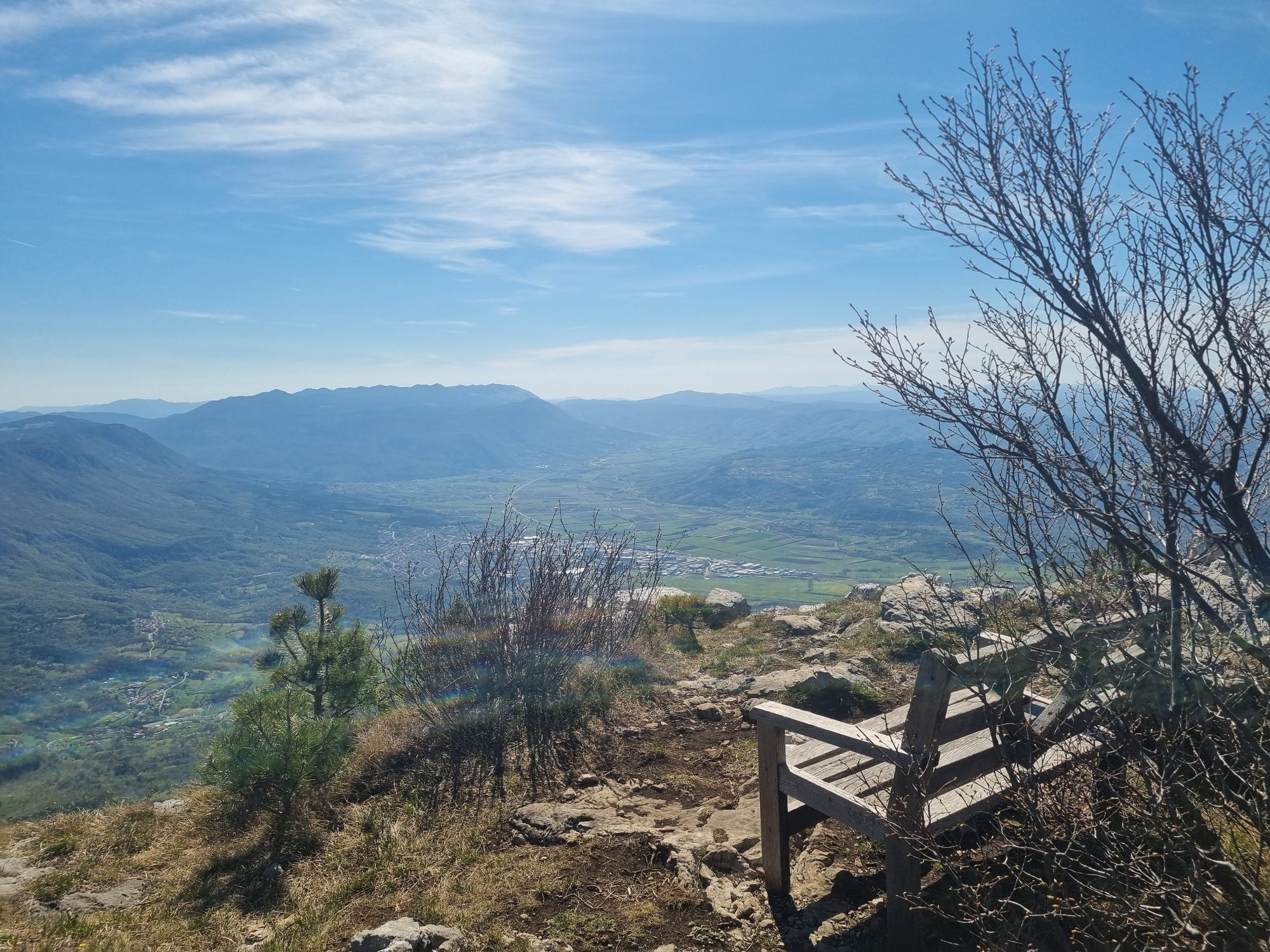
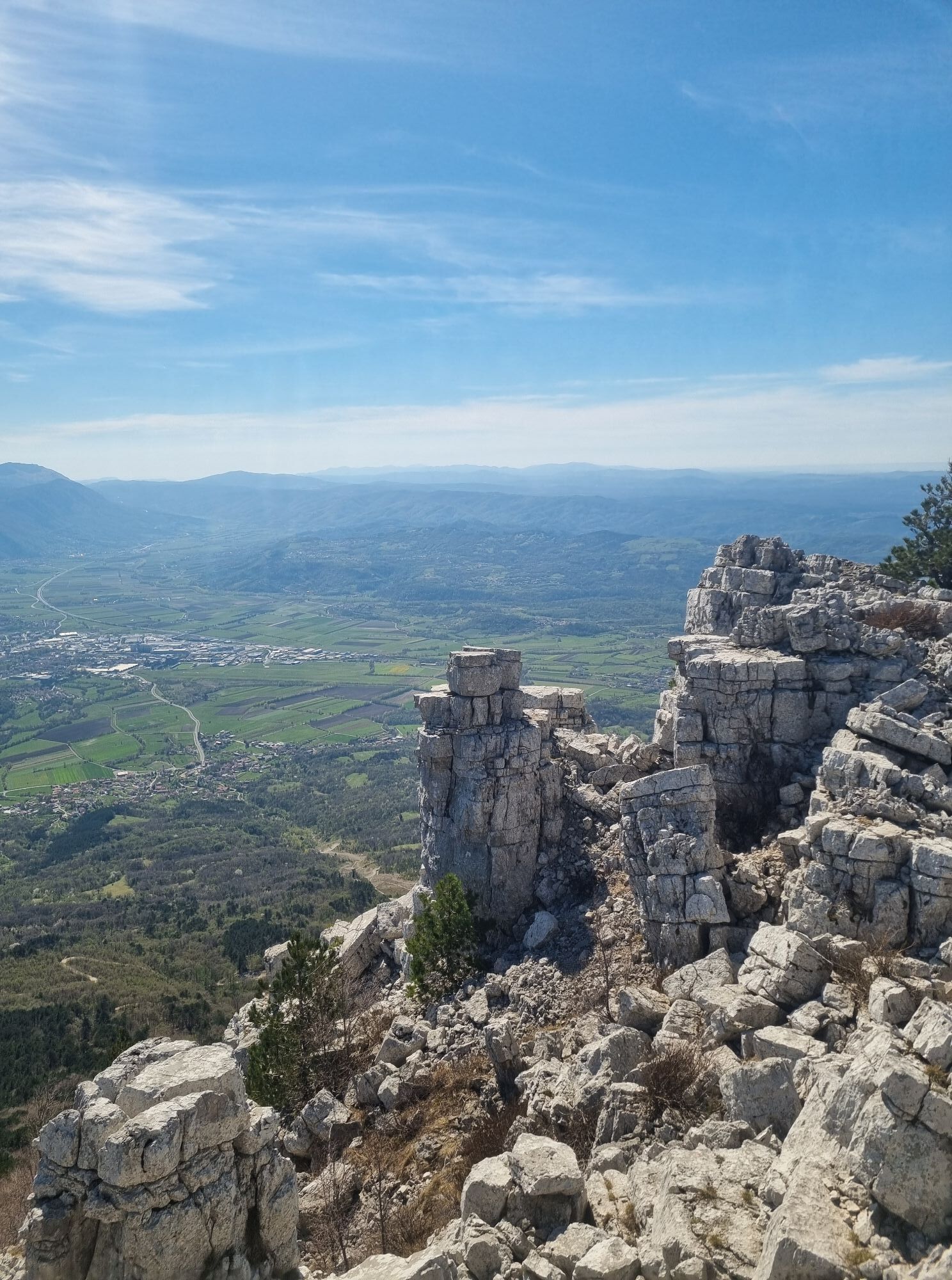
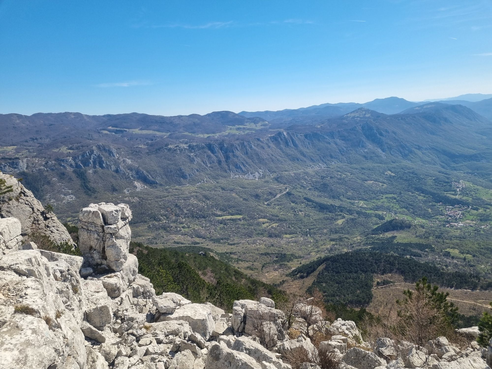
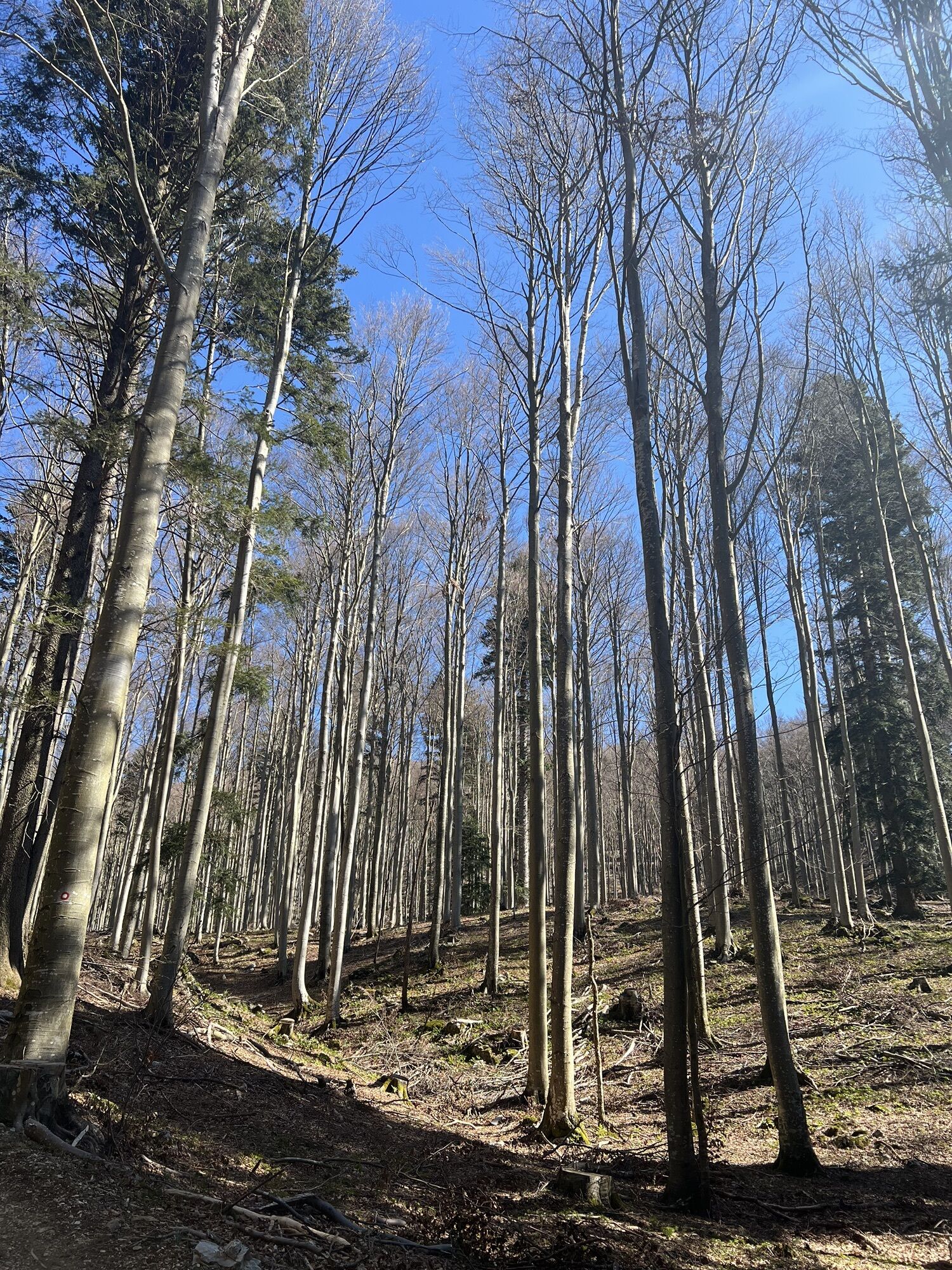
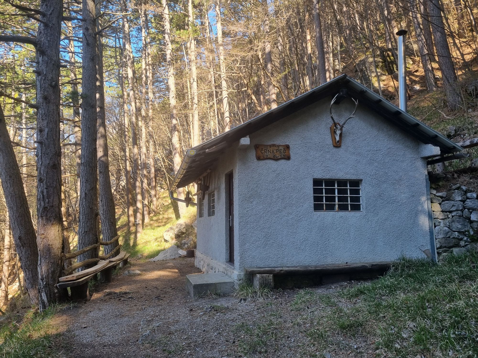
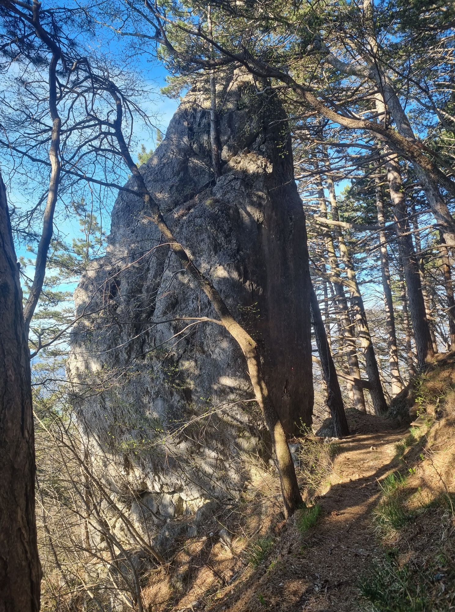
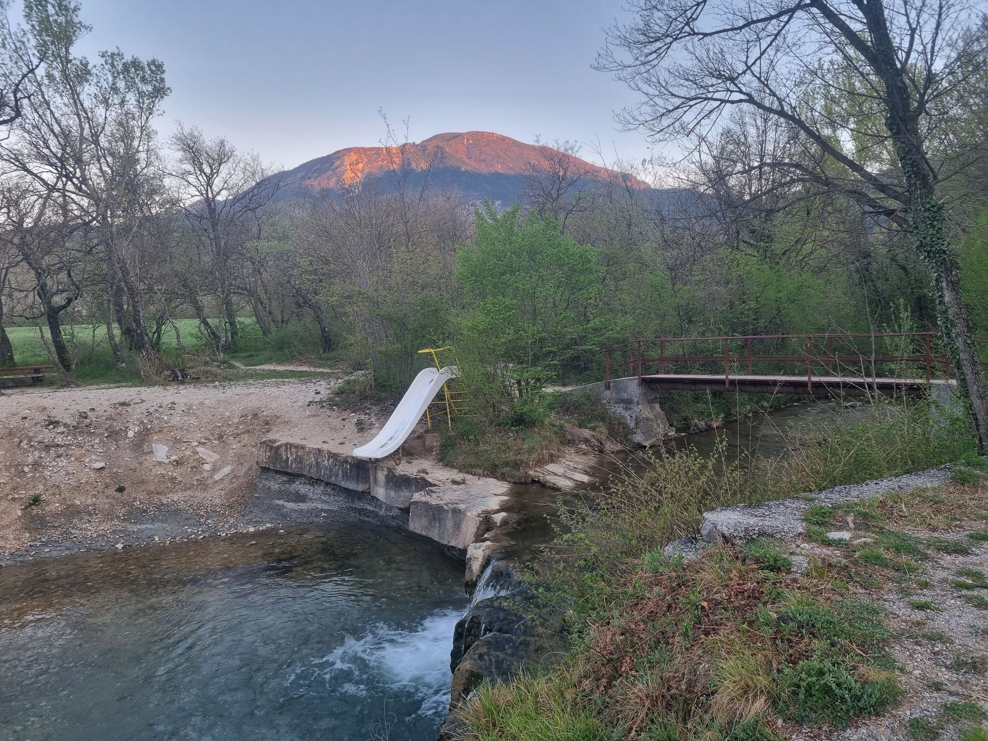
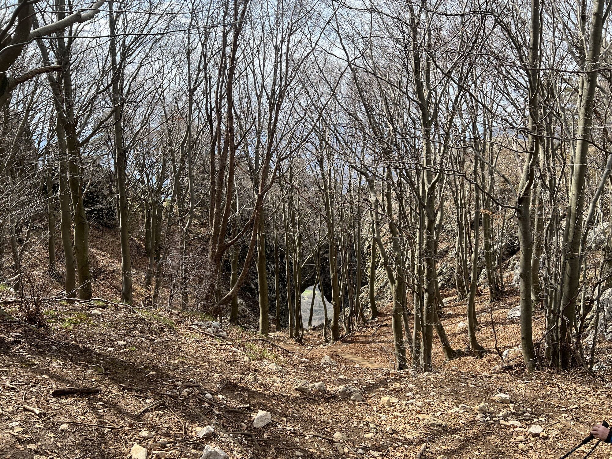
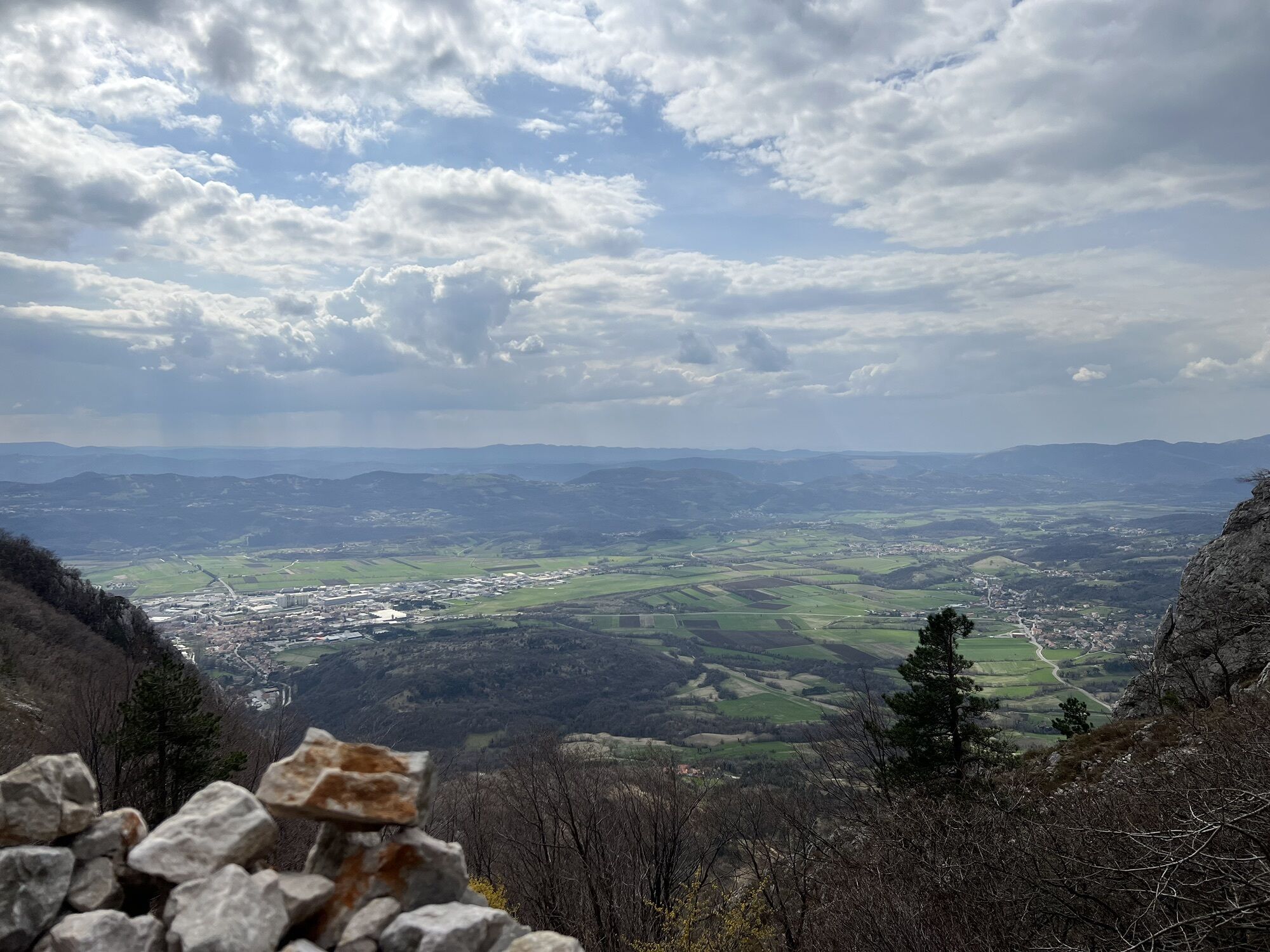
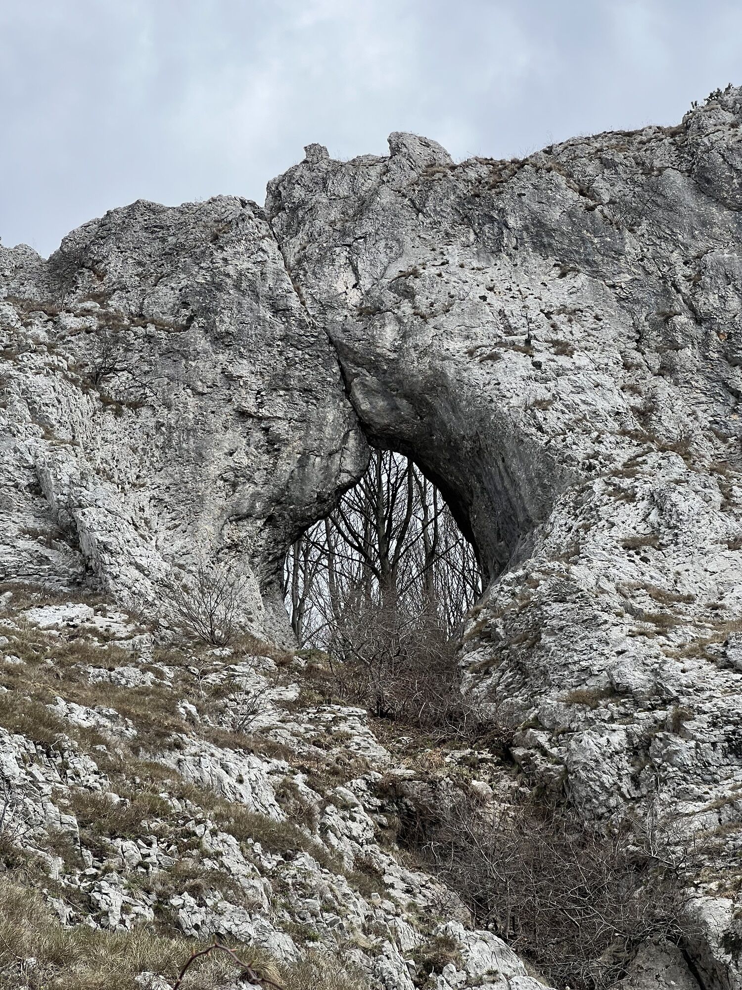
The Ultra X Slovenia 60 km Trail is a demanding mountain route that showcases the wild landscapes above the Vipava Valley. Starting in Ajdovščina, the trail climbs steadily towards Podrta Gora before entering...
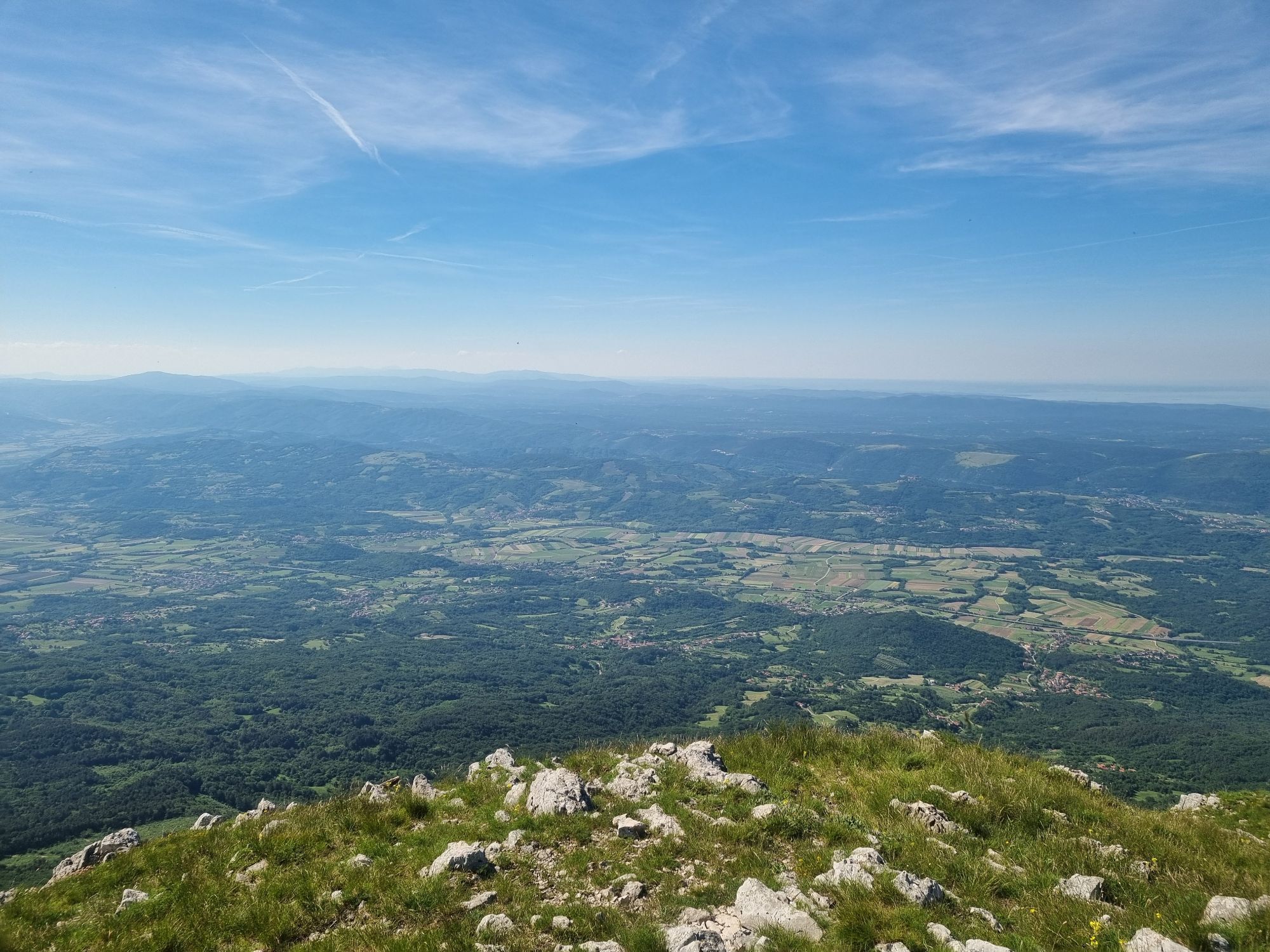
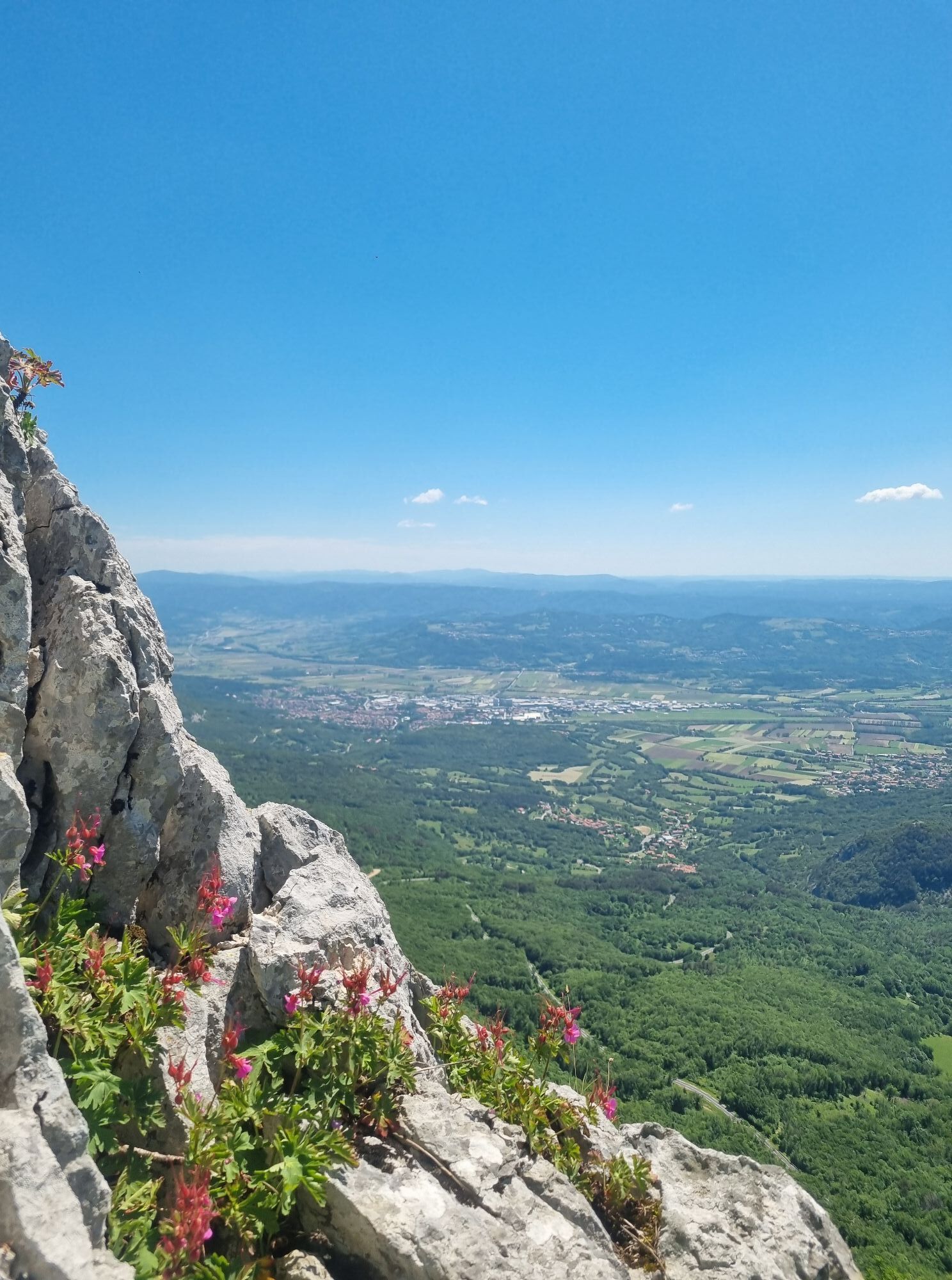
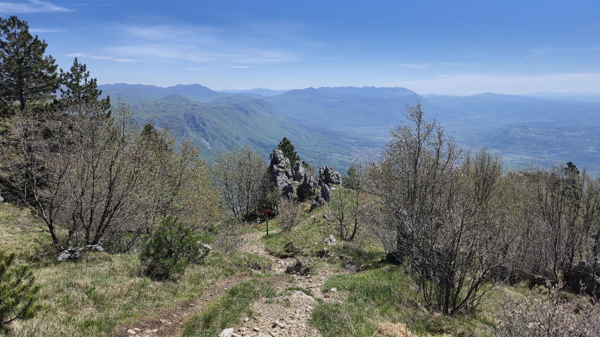
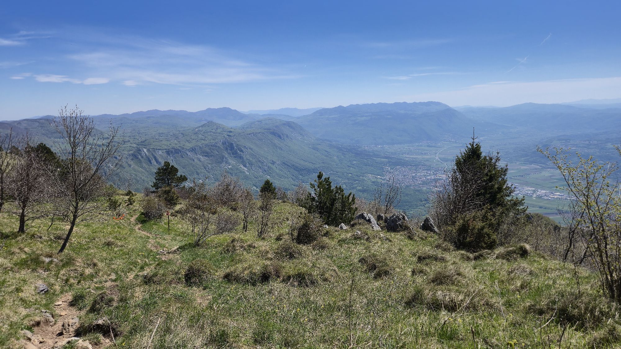
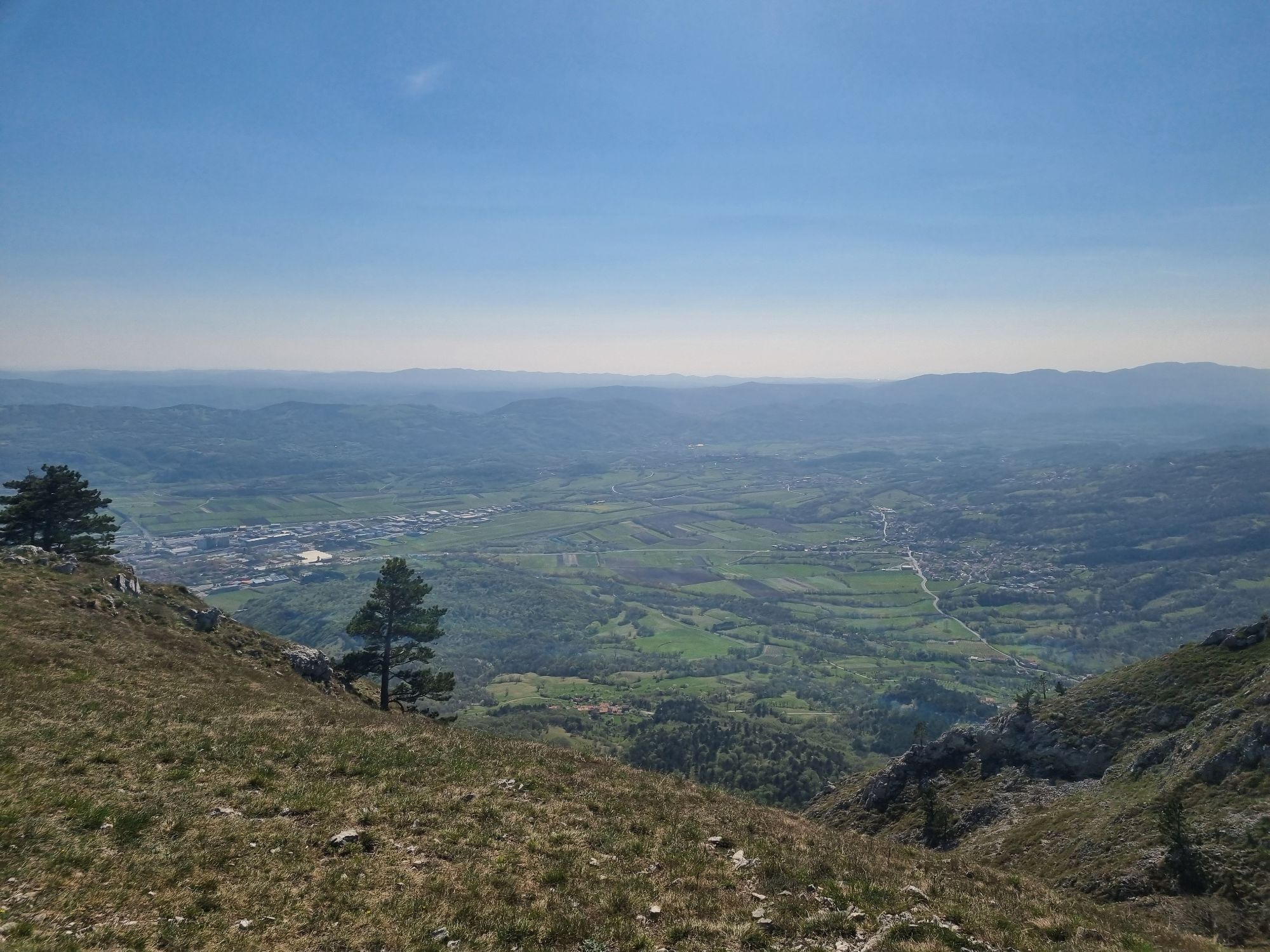
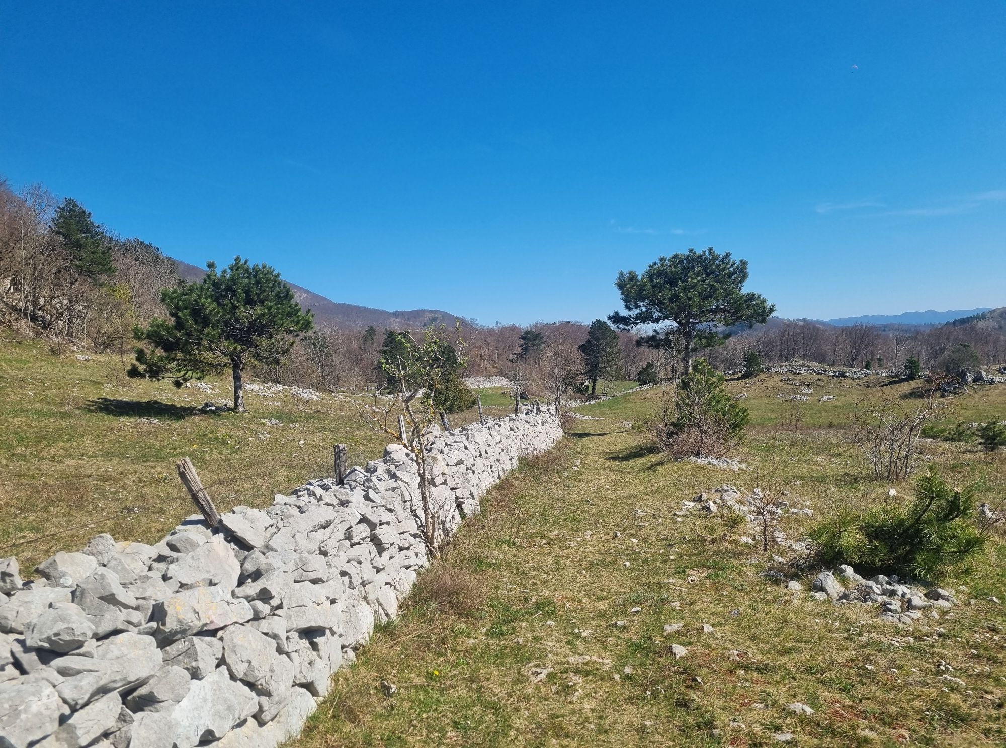
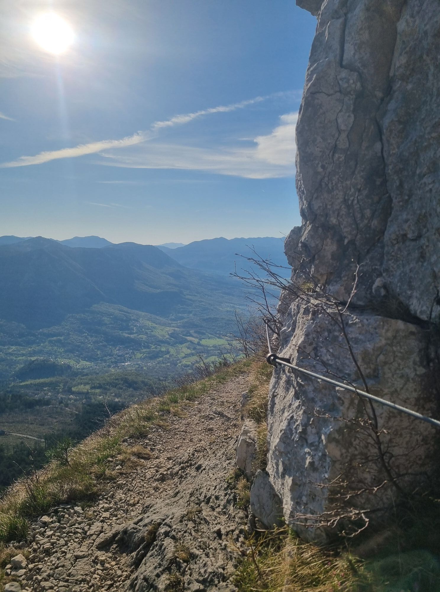
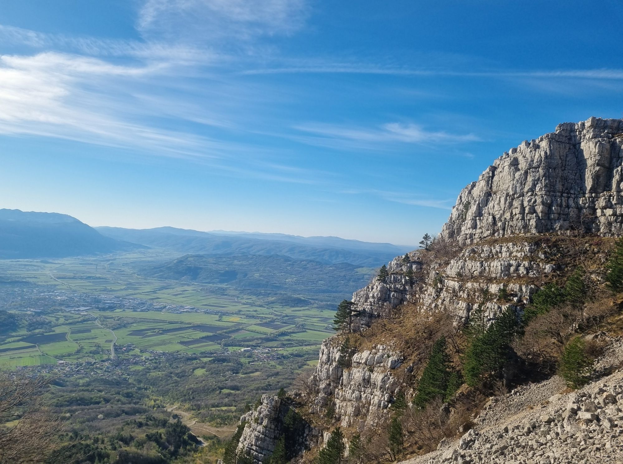
The Ultra X Slovenia 60 km Trail is a demanding mountain route that showcases the wild landscapes above the Vipava Valley. Starting in Ajdovščina, the trail climbs steadily towards Podrta Gora before entering the forests and high plateaus of Trnovski gozd. Inspired by the internationally recognised Ultra X Slovenia event, the route is now a permanent destination trail for experienced trail runners and well-prepared hikers. One of its defining highlights is the spectacular traverse along the limestone edge of the Trnovo Plateau, where uninterrupted views stretch across the Vipava Valley, the Kras and the surrounding mountains. The varied terrain combines flowing forest singletracks, rocky mountain paths and panoramic ridgelines, creating a physically rewarding mountain experience. With long climbs, remote sections and changing weather, careful preparation is essential throughout the year.

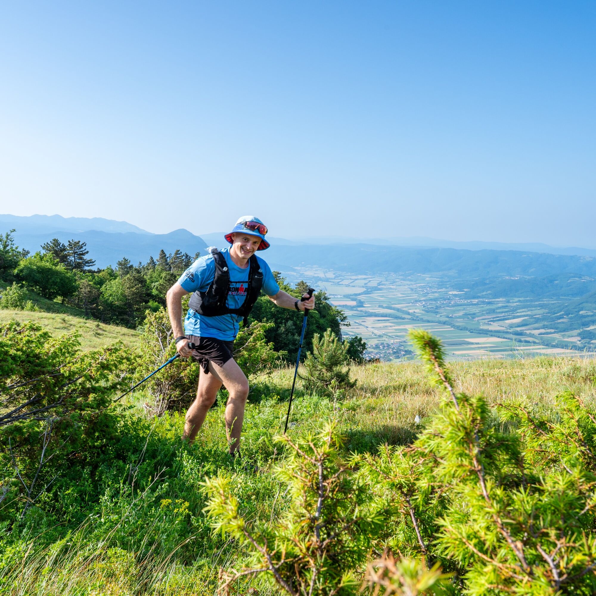
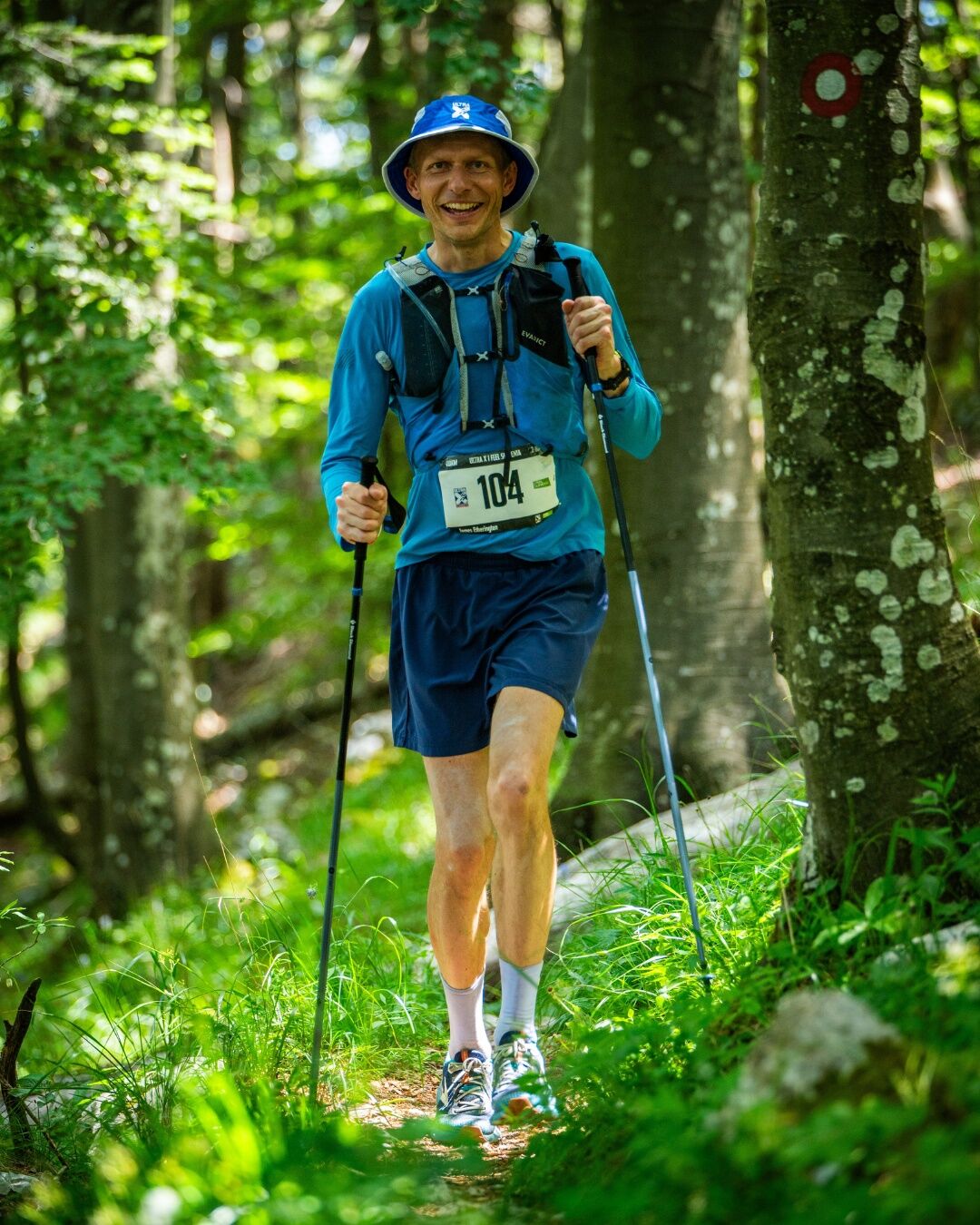
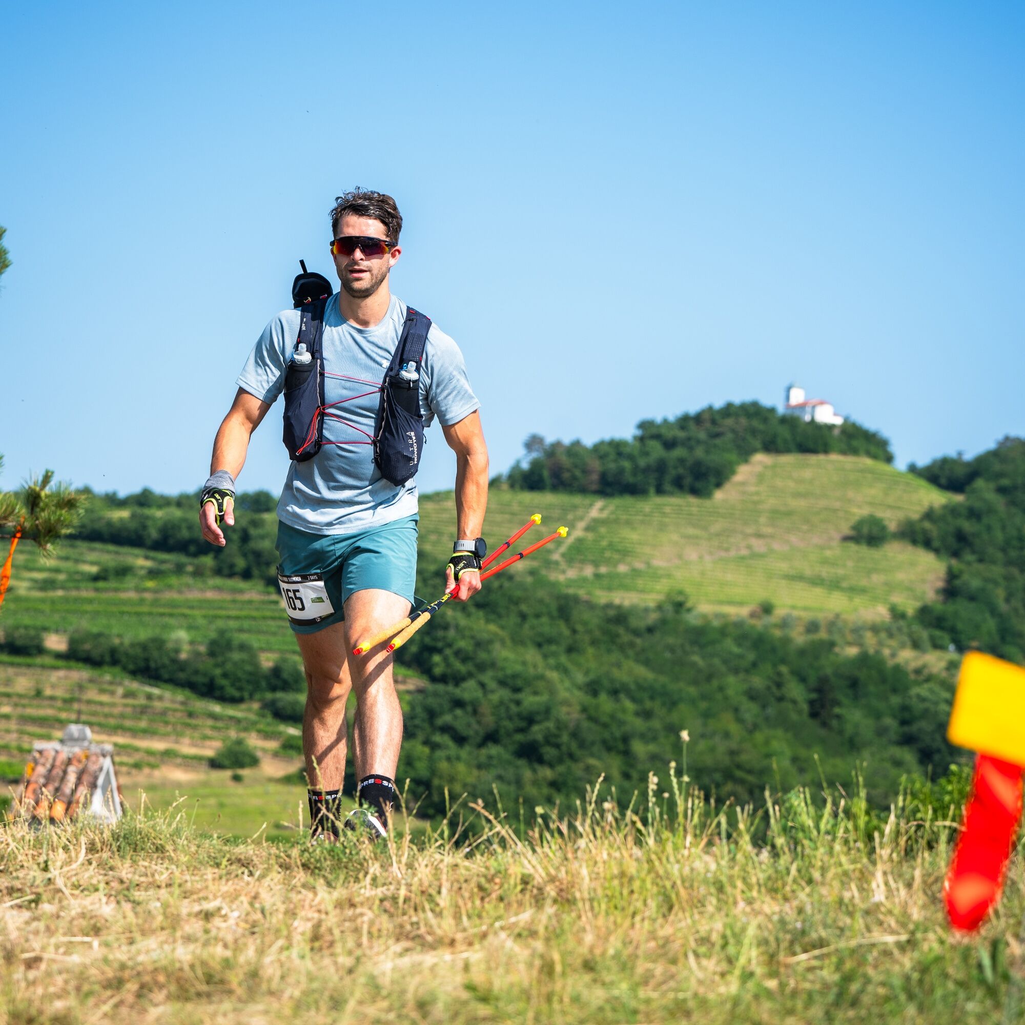
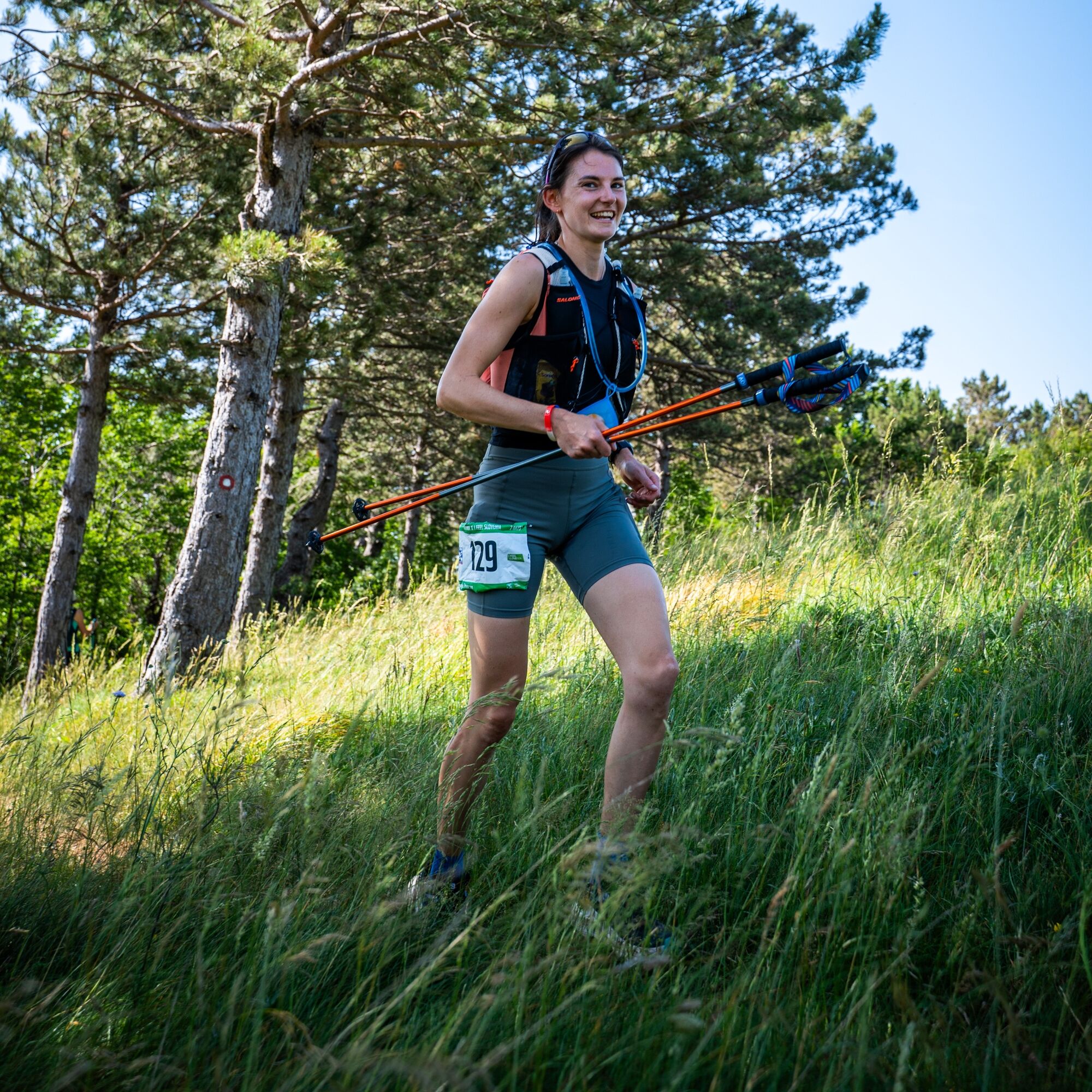

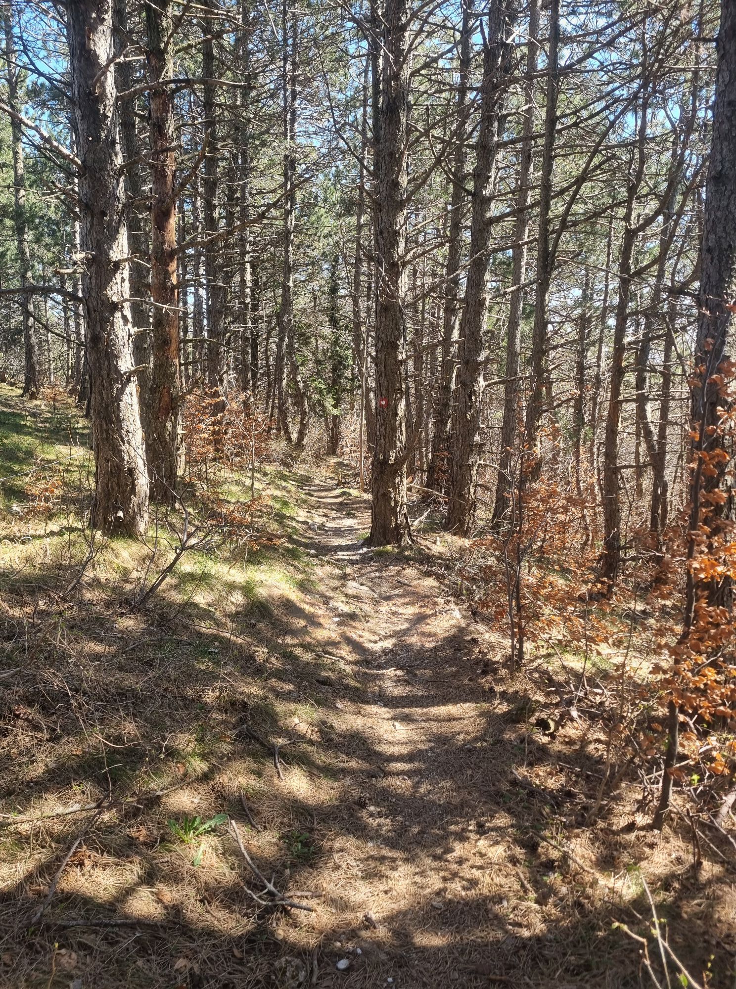
The Ultra X Slovenia 60 km Trail starts at the Main Square in AjdovšÄina before climbing steadily through woodland towards Podrta Gora, leaving the valley behind and entering the mountain landscapes of the Trnovo Plateau.
The route then follows one of its defining highlights—a spectacular traverse along the limestone edge above the Vipava Valley. This panoramic ridge section offers continuous views across the valley, the Kras and the surrounding mountain ranges, making it one of the most memorable parts of the entire trail.
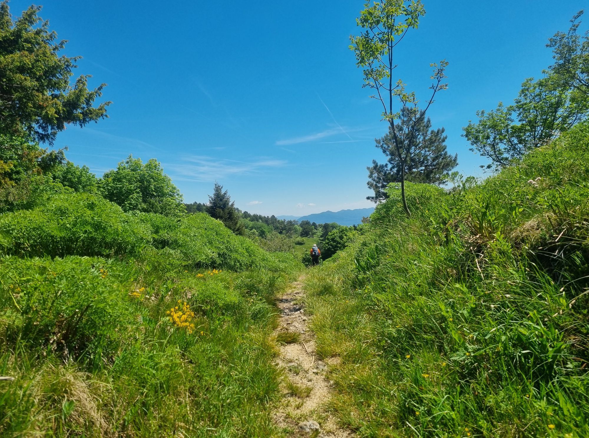
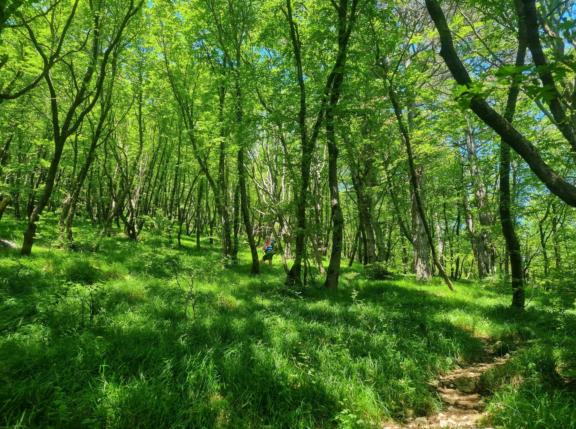
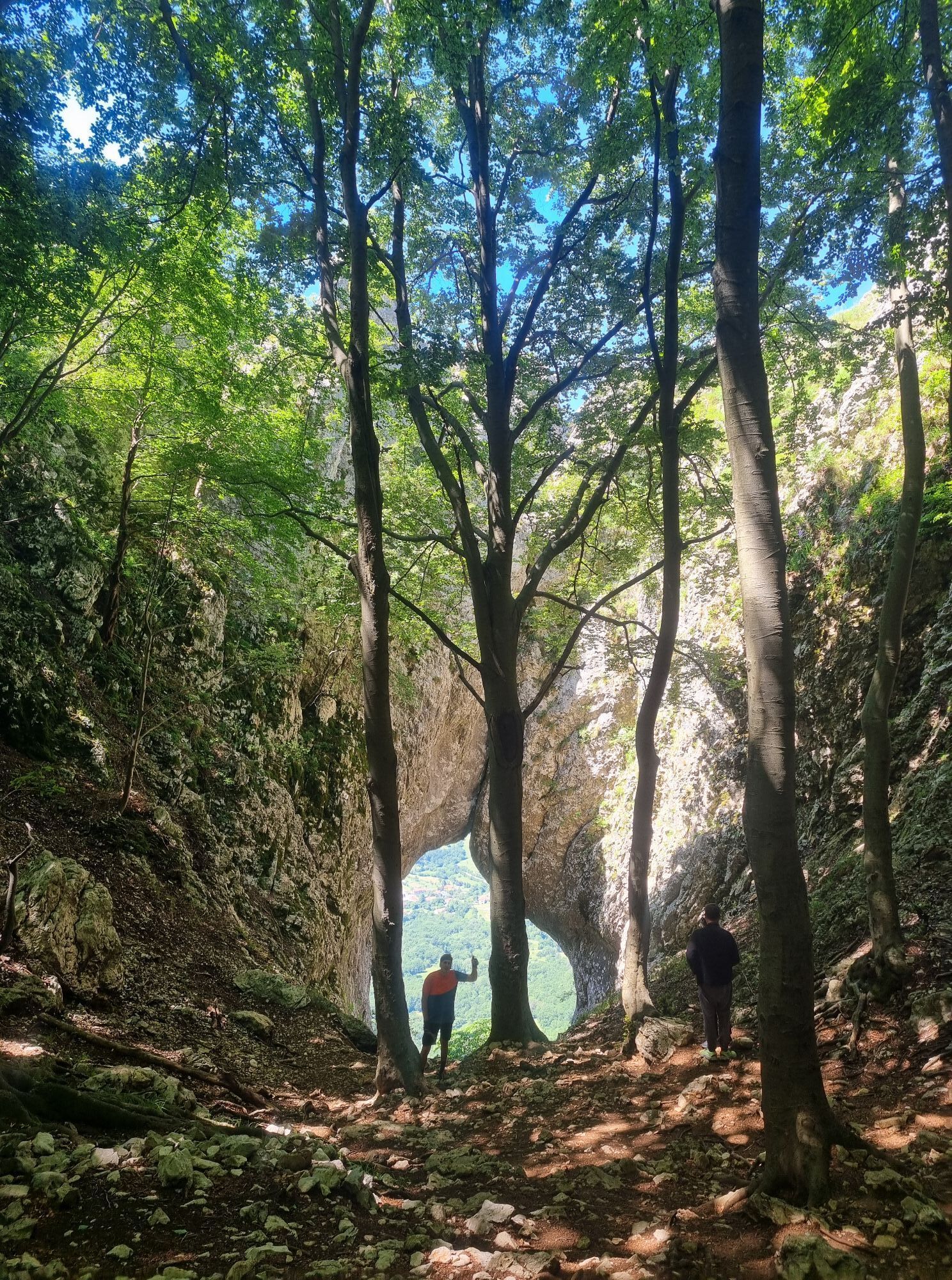
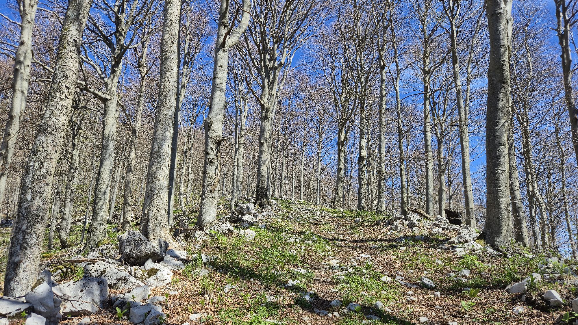
Beyond the ridge, the trail continues through the forests and high plateaus of Trnovski gozd, combining flowing singletracks with rocky mountain paths before beginning a long descent back towards AjdovšÄina.
The route combines sustained climbing, technical mountain terrain, runnable forest trails and exposed panoramic sections into a demanding but rewarding mountain adventure, showcasing the wild character of the Vipava Valley.
Ja
Ja
Trail running shoes with good grip
Hydration vest or backpack
Sufficient water and nutrition
Offline GPX navigation
Fully charged mobile phone
Windproof and weather-appropriate clothing
Lightweight waterproof jacket
Basic first aid kit
Emergency blanket
Headlamp if starting early or finishing after dark
Trekking poles (optional, recommended for hikers)
The Ultra X Slovenia 60 km Trail is intended for experienced trail runners and well-prepared hikers. The route includes long climbs, remote mountain terrain and exposed sections along the edge of the Trnovo Plateau. Weather can change rapidly, with strong burja winds, fog or thunderstorms significantly affecting conditions. Carry sufficient water, food, navigation equipment and appropriate clothing, and always check the weather forecast before setting out. Mobile coverage may be limited in some forested areas. Respect nature, local regulations and Leave No Trace principles.
The Centurion Trail starts at the Main Square (Lavričev trg) in the centre of Ajdovščina. Ajdovščina is easily accessible by car via the H4 motorway (Exit Ajdovščina) and by regional roads from Nova Gorica, Vipava and Postojna. The trailhead is located within walking distance of the main bus station, public parking areas, shops, restaurants and other visitor services.
AjdovšÄina is well connected by regional bus services from Nova Gorica, Ljubljana and other Slovenian towns. The trail starts and finishes within walking distance of the town centre, allowing easy access without a car.
Public transport schedules may vary throughout the year. Check current timetables before travelling.
T2
Start early to enjoy cooler temperatures and morning light along the Trnovo Plateau.
Carry enough water, as refill opportunities are limited on the mountain sections.
Check the weather forecast, especially for strong burja winds, fog or thunderstorms.
Download the GPX track before departure, as mobile coverage may be limited in forested areas.
Take time to enjoy the panoramic ridge above the Vipava Valley—it's one of the route's defining highlights.
Respect nature, wildlife and local communities by following Leave No Trace principles.
Start early to enjoy the panoramic ridge in cooler conditions and carry enough water, as services are limited along the mountain sections.
Beliebte Touren in der Nähe
- 4,0
Das Felsenfenster von Otlica
mittelWanderung 10,5 km - 3,7
Weg zur natürlichen Steinbrücke Skozno
leichtWanderung 5,62 km - 5,0
Weg am Rand
leichtWanderung 14,5 km Auf dem Naturlehrpfad am Hubelj entlang
leichtWanderung 3,79 km- 2,0
Oberes Vipava-Tal
leichtRadfahren 34,2 km Auf den Spuren von Vertovec
leichtWanderung 17,7 km- 5,0
Vipava - Oltar - Gradiška Tura
mittelWanderung 3,85 km Rundweg Skrlanka
leichtWanderung 5,75 kmRundwanderweg von Vitovlje
mittelWanderung 7,80 kmVipava-Flussweg
Wanderung 48,4 km
Wandern & Tracking


Verpasse keine Angebote und Inspirationen für deinen nächsten Urlaub
Deine E-Mail-Adresse wurde in den Verteiler eingetragen.





