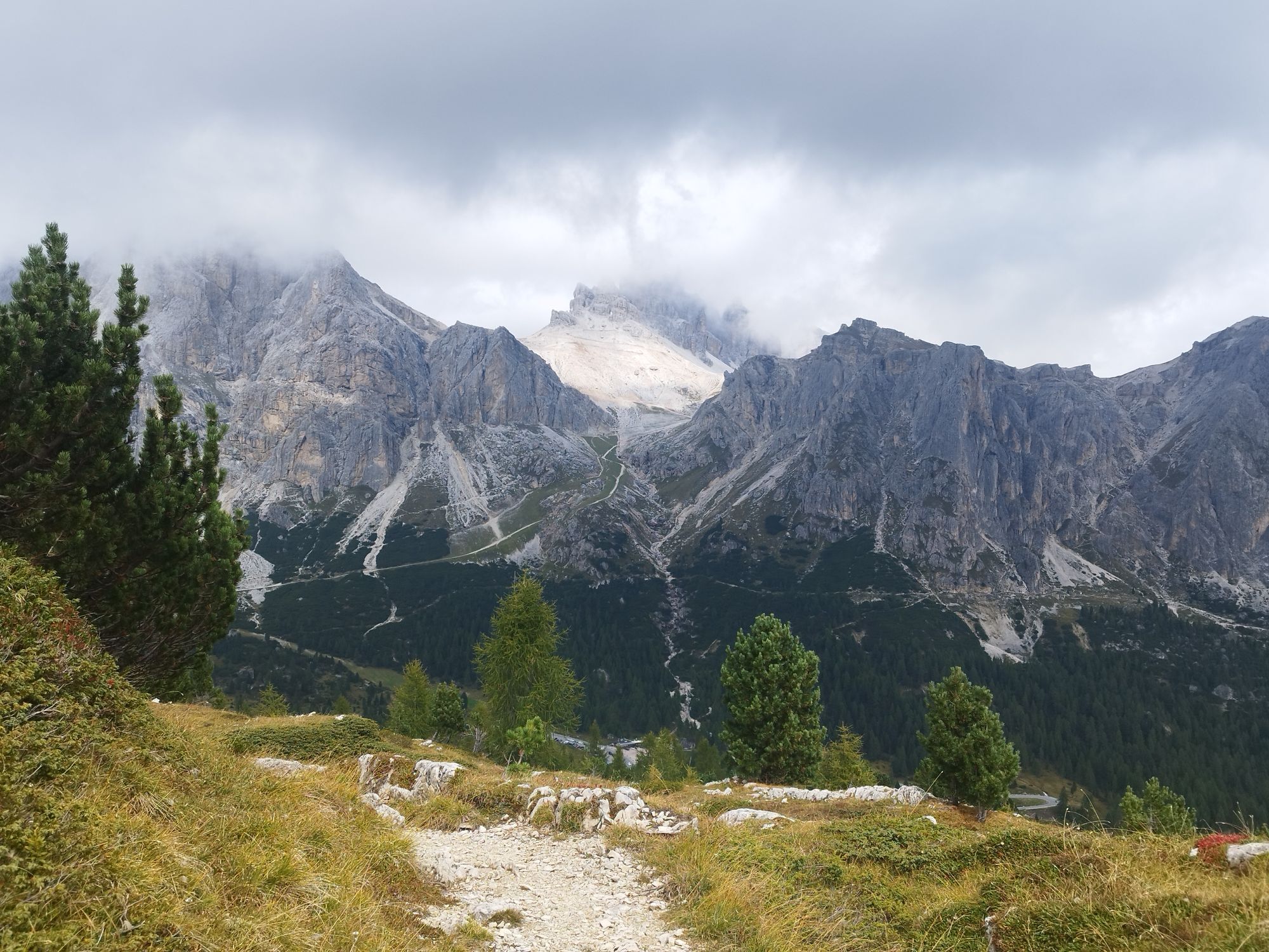
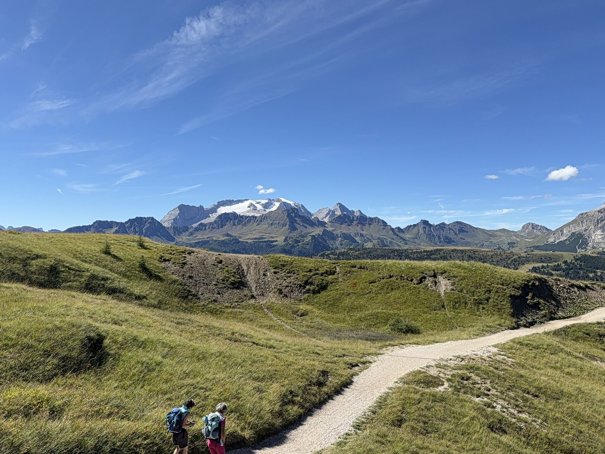
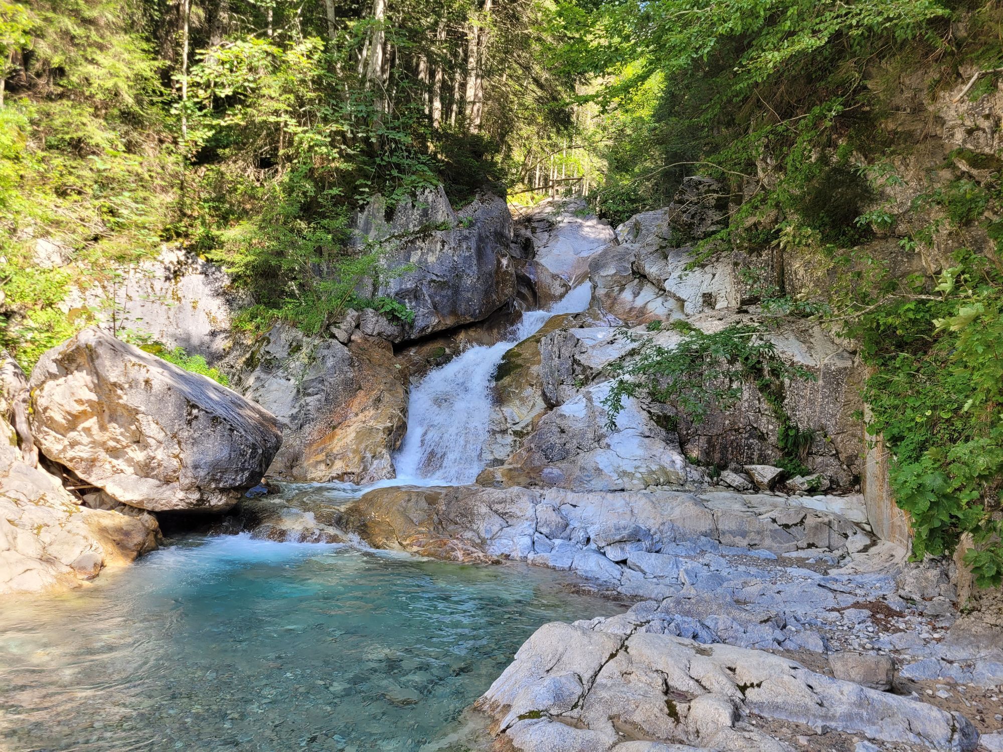
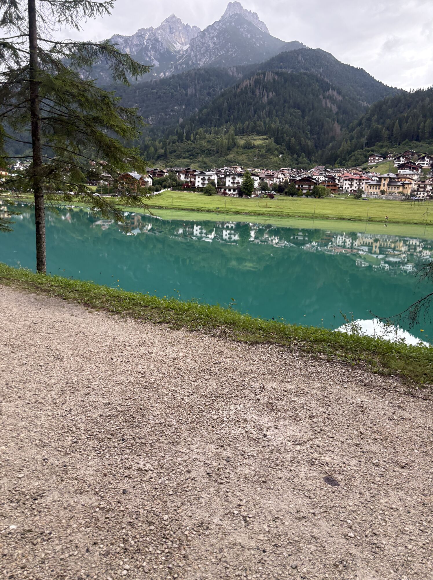
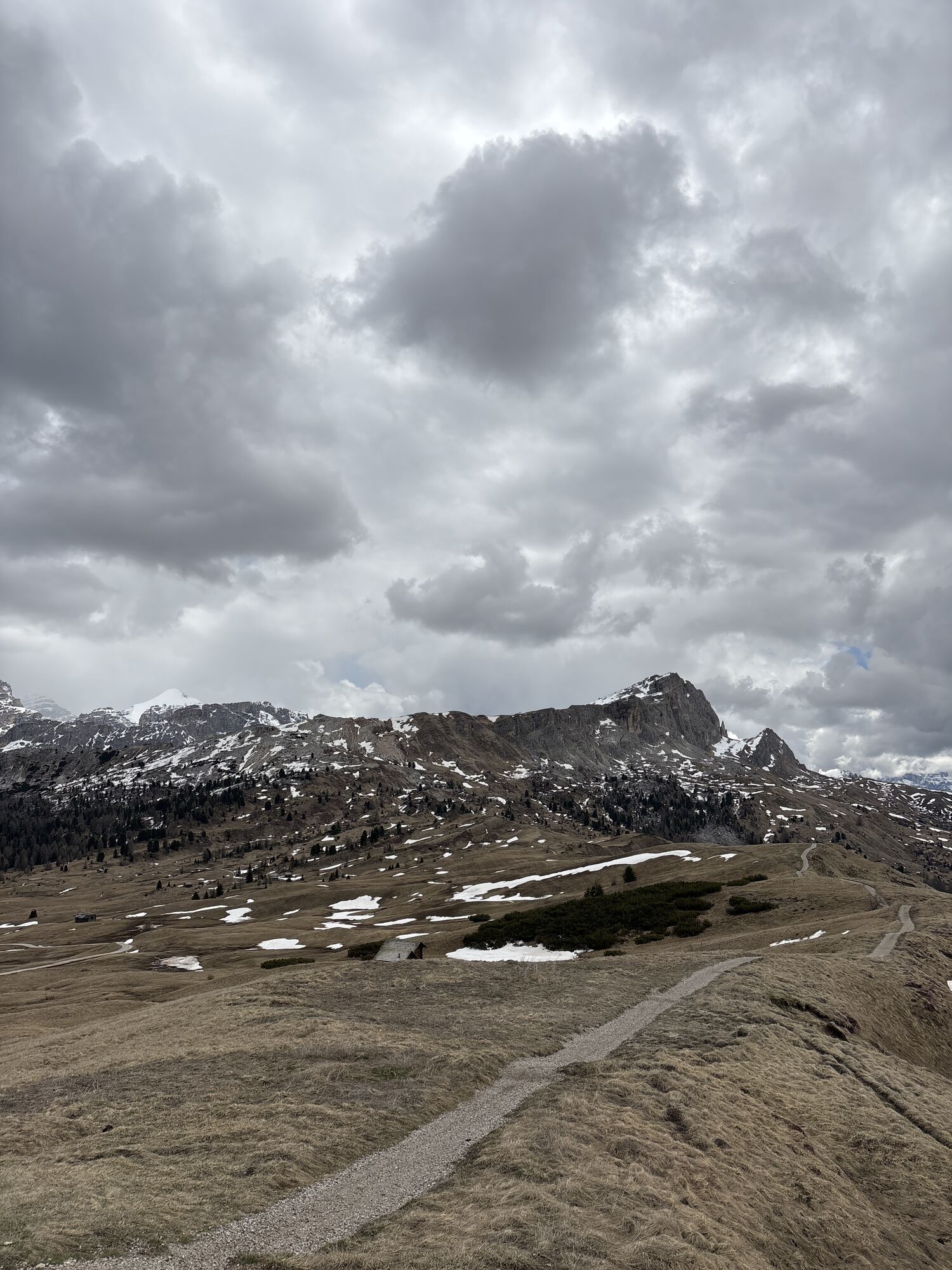
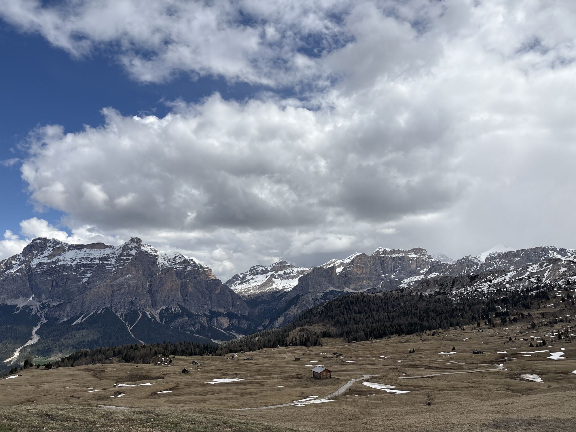
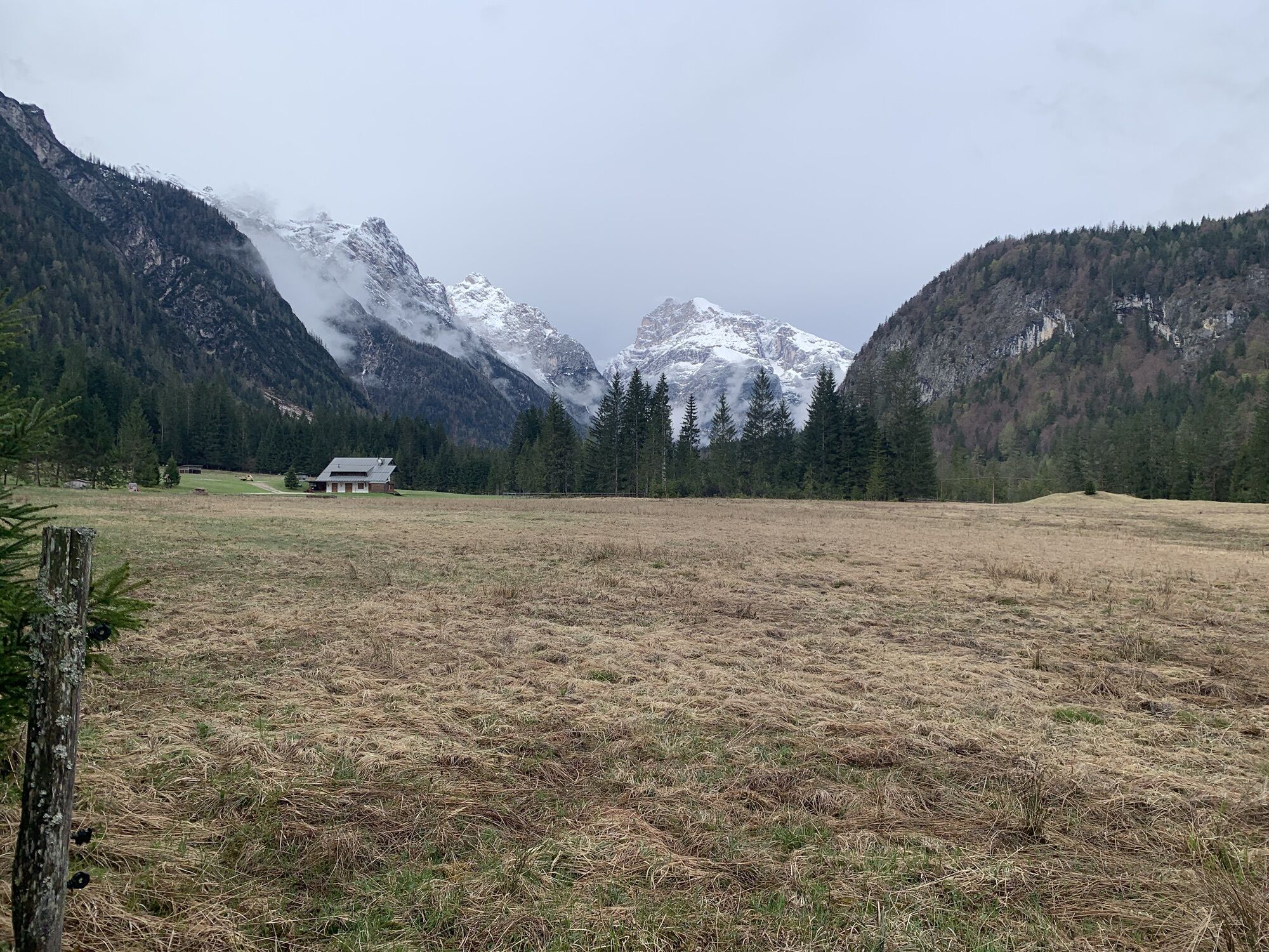
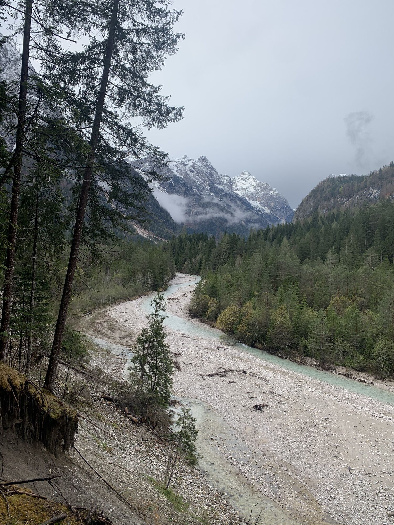
Rana - Störes - Pralongiá - Arabba
mittel
Navigieren
Navigieren
Hol diese Tour auf dein Handy
Rana - Störes - Pralongiá - Arabba
mittel
Wanderung
181,74
km
QR-Code scannen und Navigation in der bergfex App beginnen

Wandern & Tracking


Rana - Störes - Pralongiá - Arabba
mittel
Distanz
181,74
km
Dauer
02:30
h
Aufstieg
4.876
hm
Seehöhe
600 -
2.312
m
Track-Download
Rana - Störes - Pralongiá - Arabba
mittel
Wanderung
181,74
km
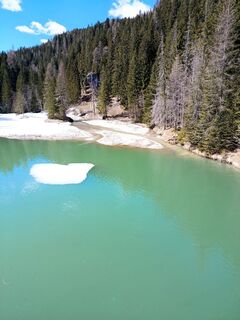
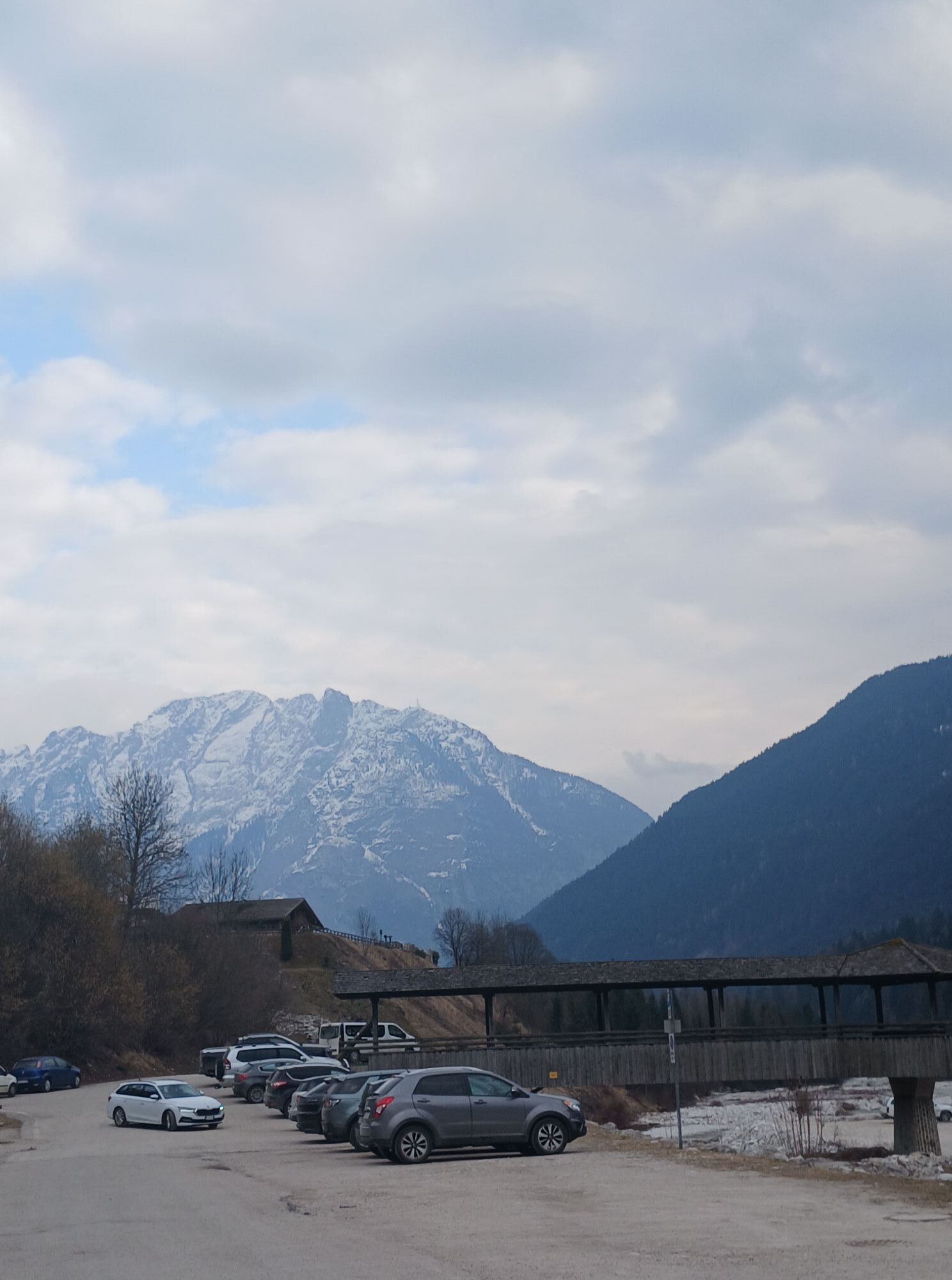
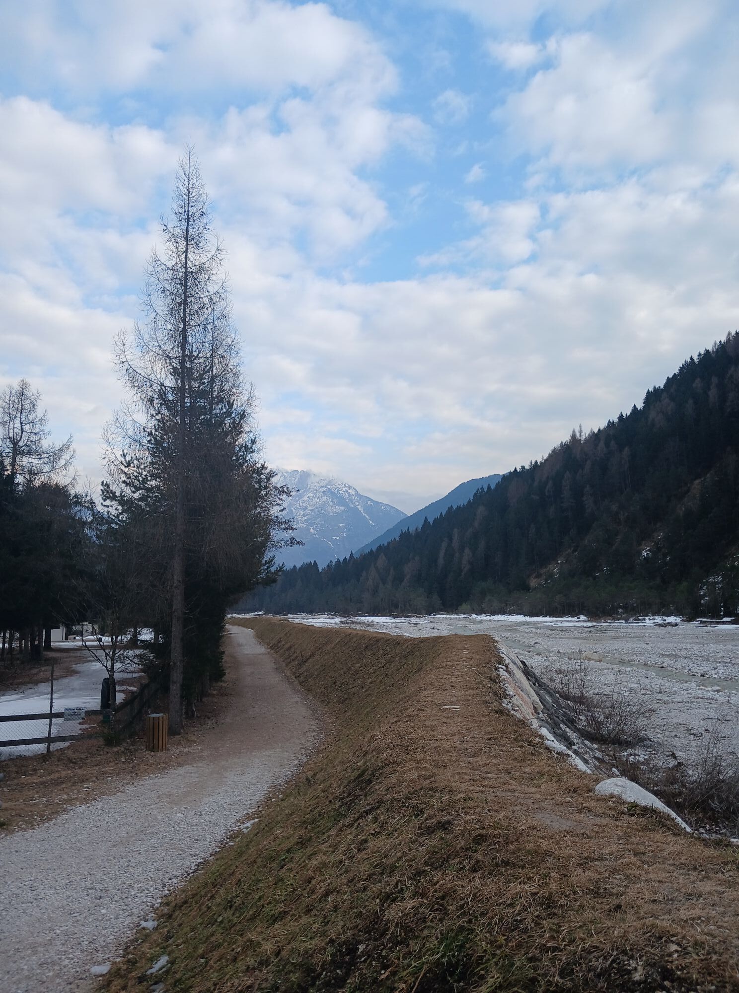
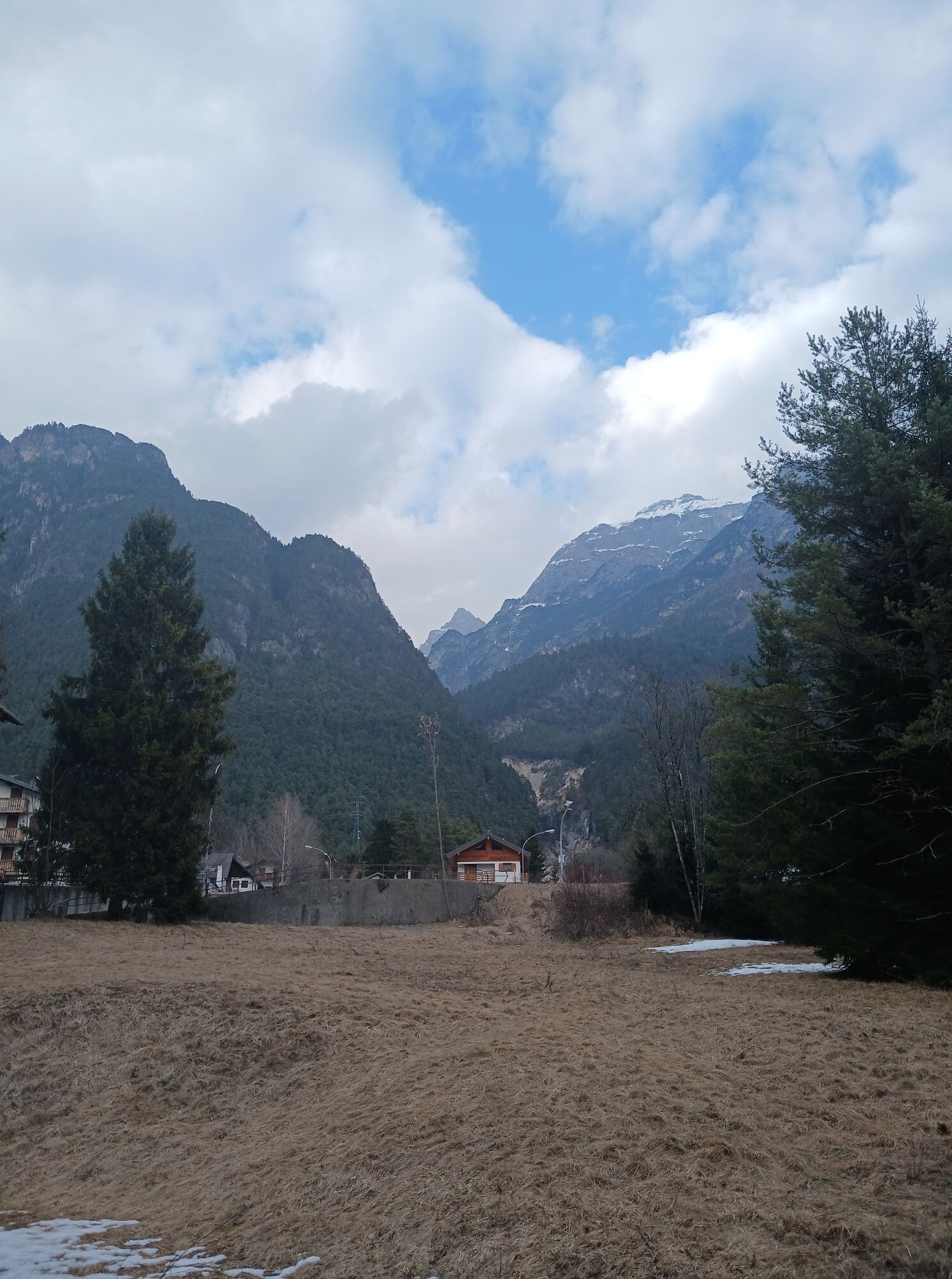
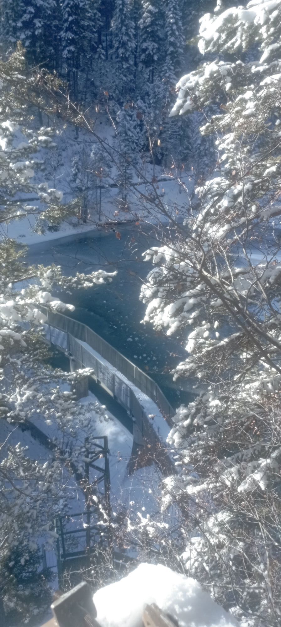
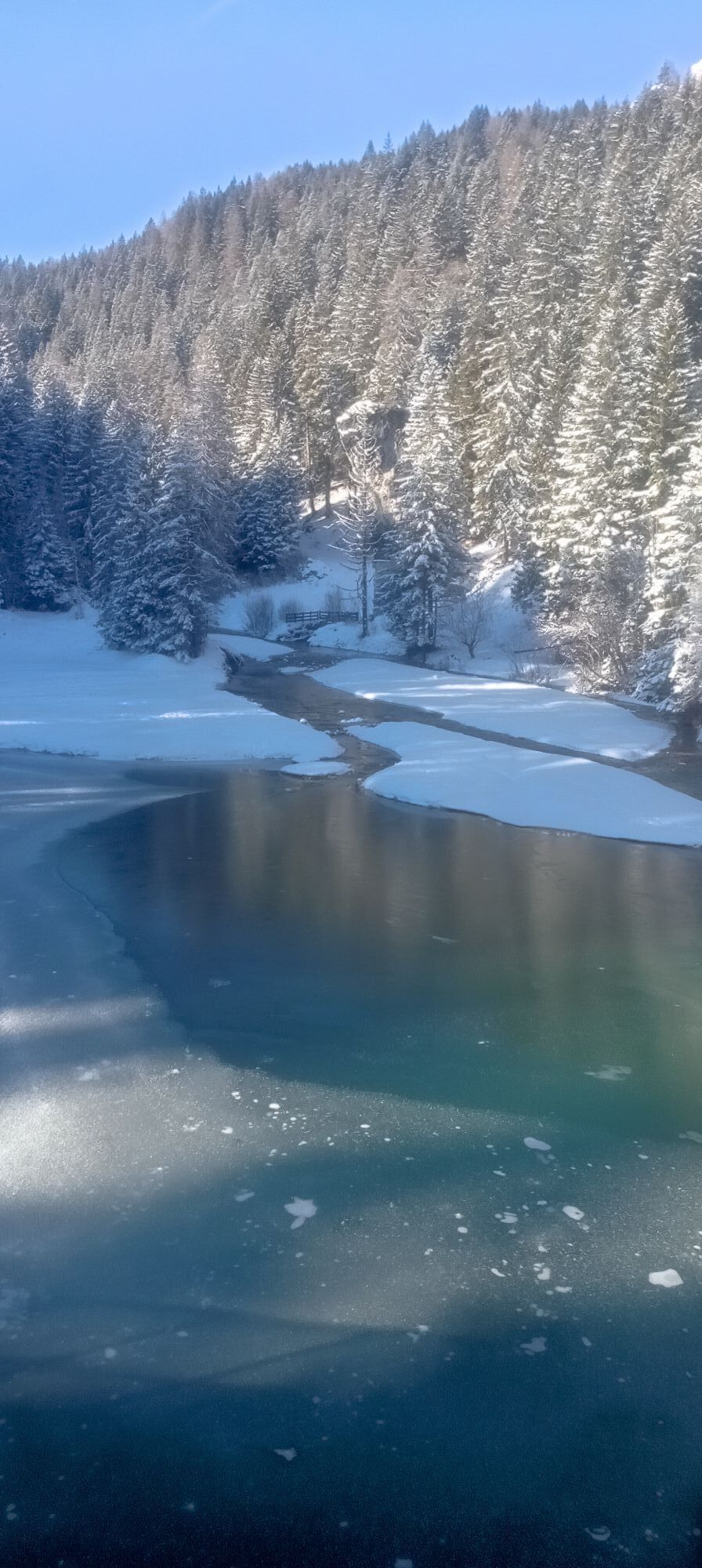
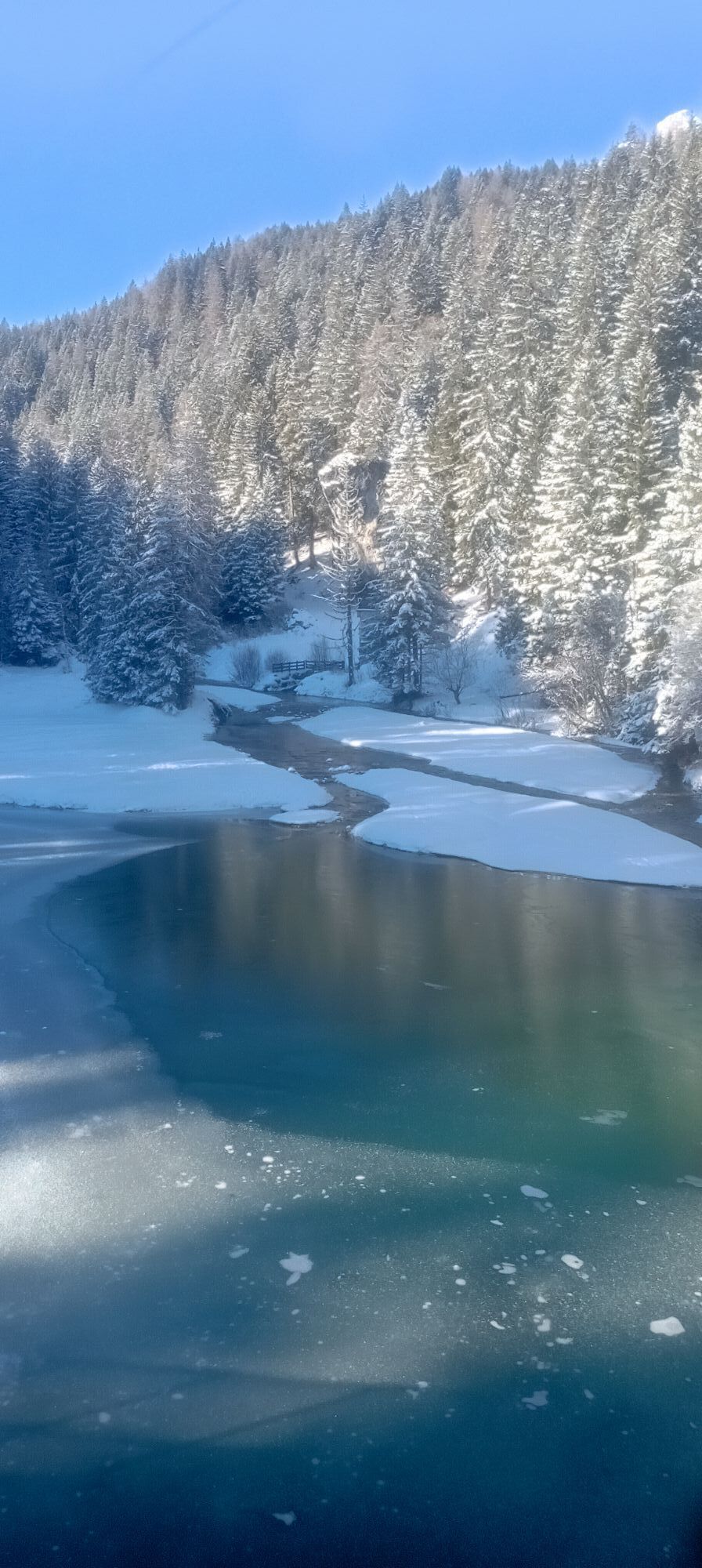
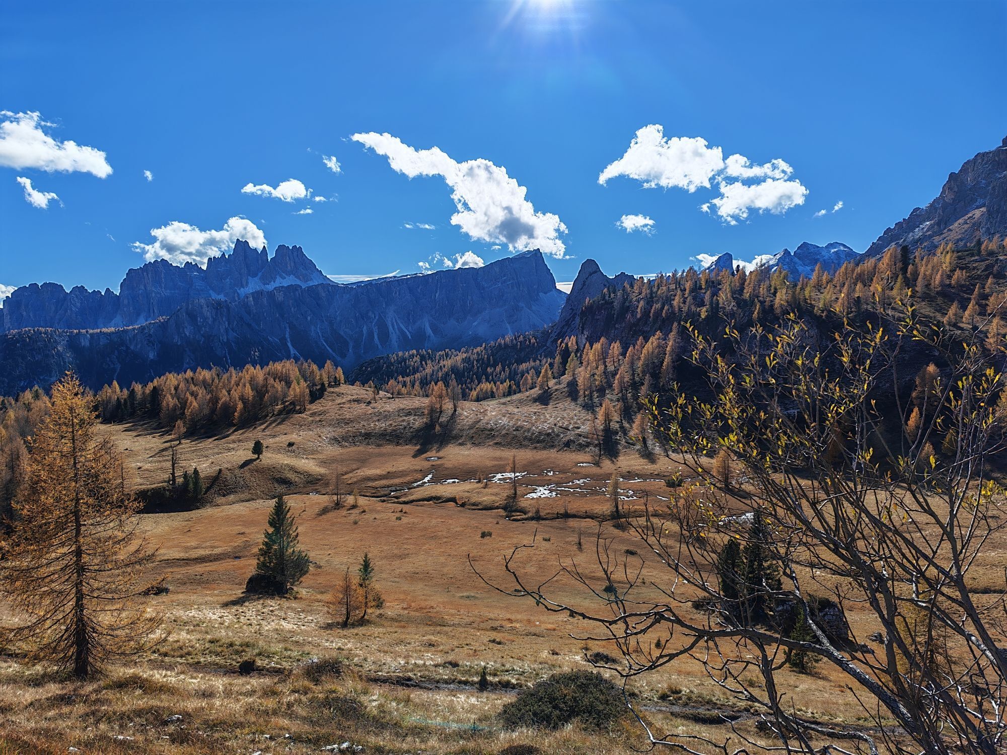
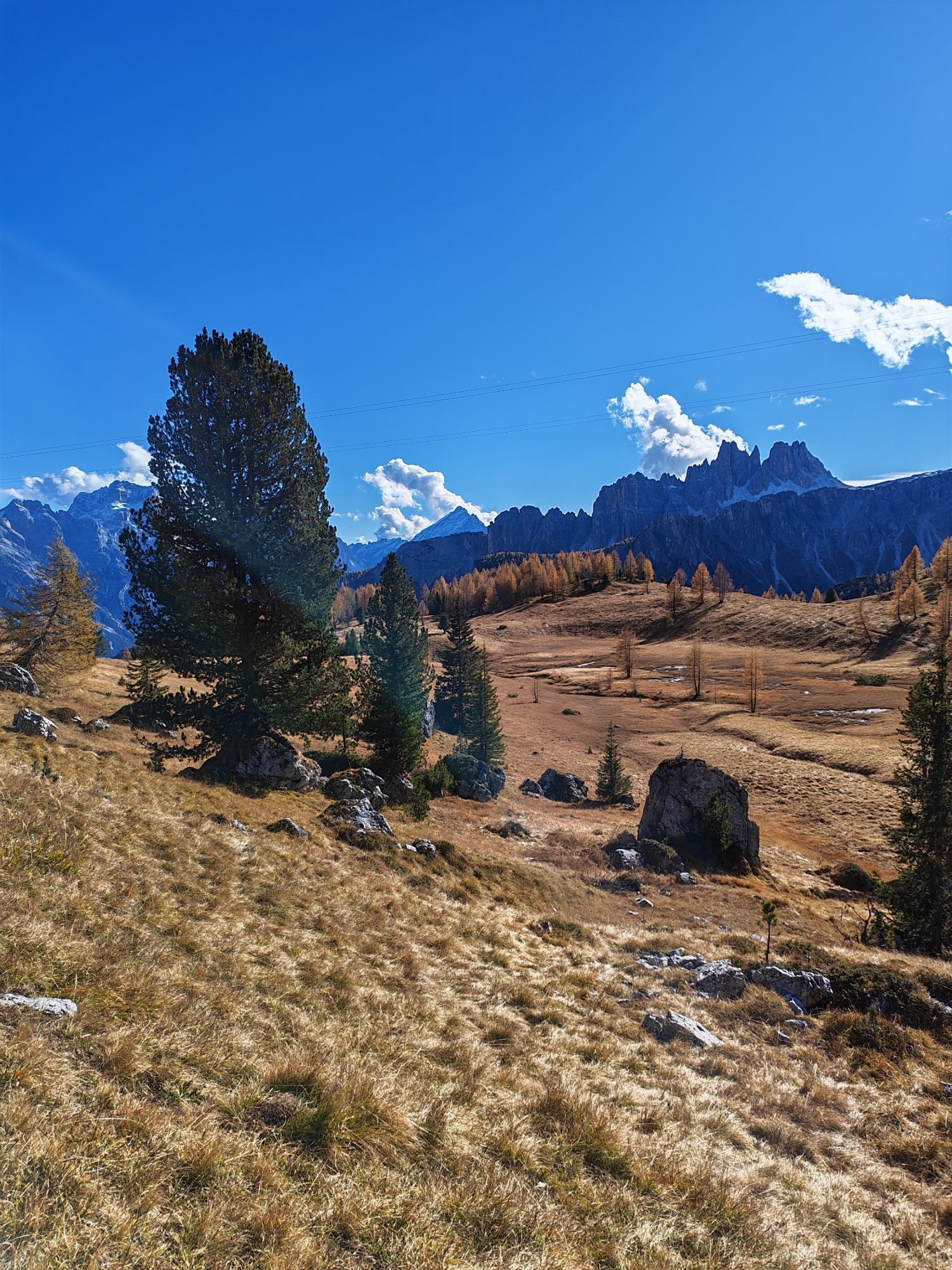
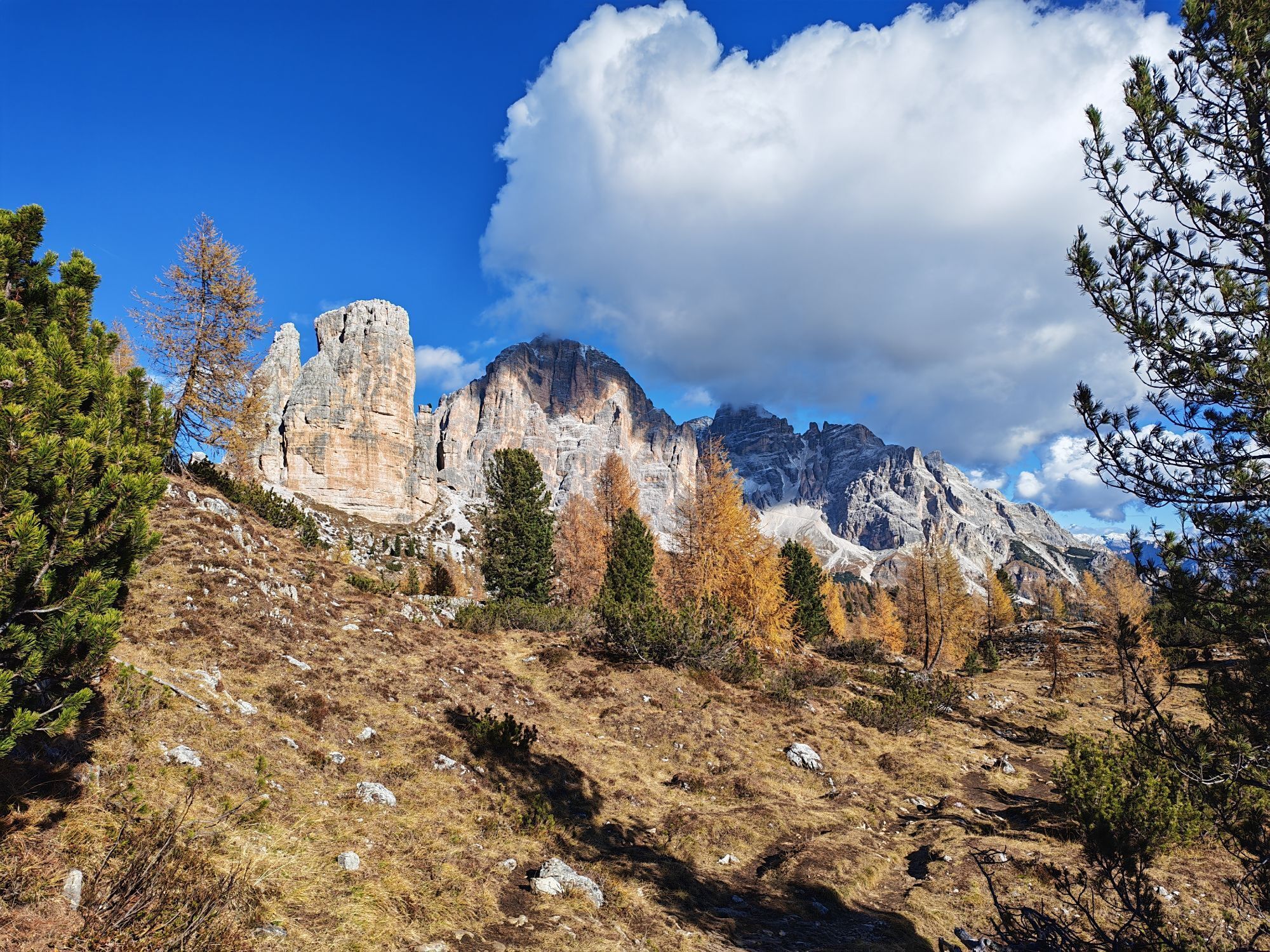
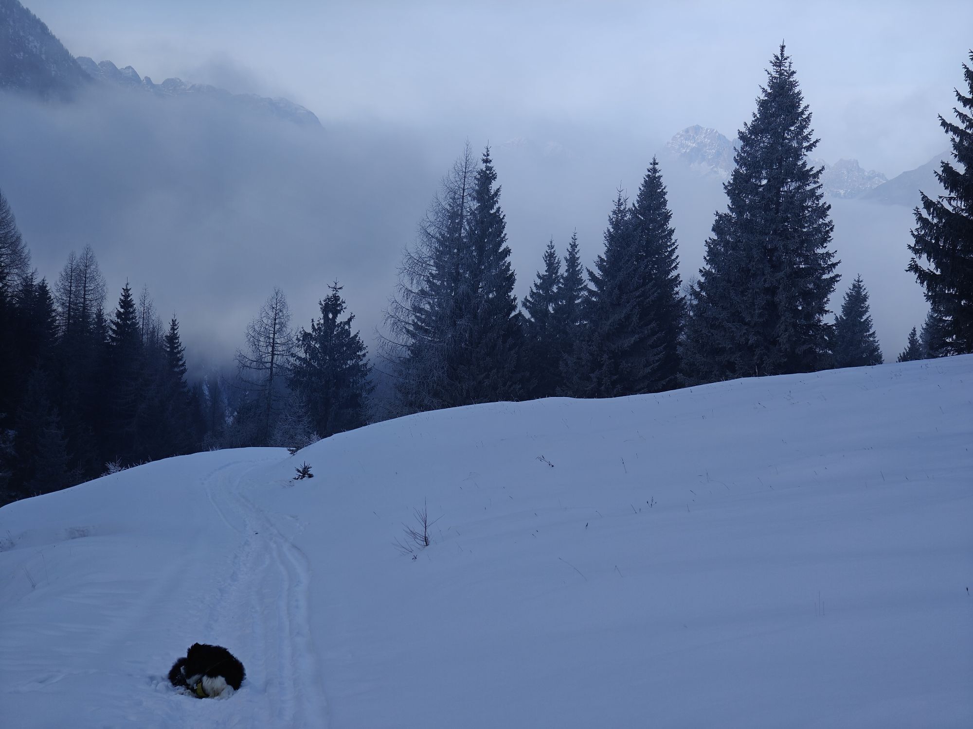
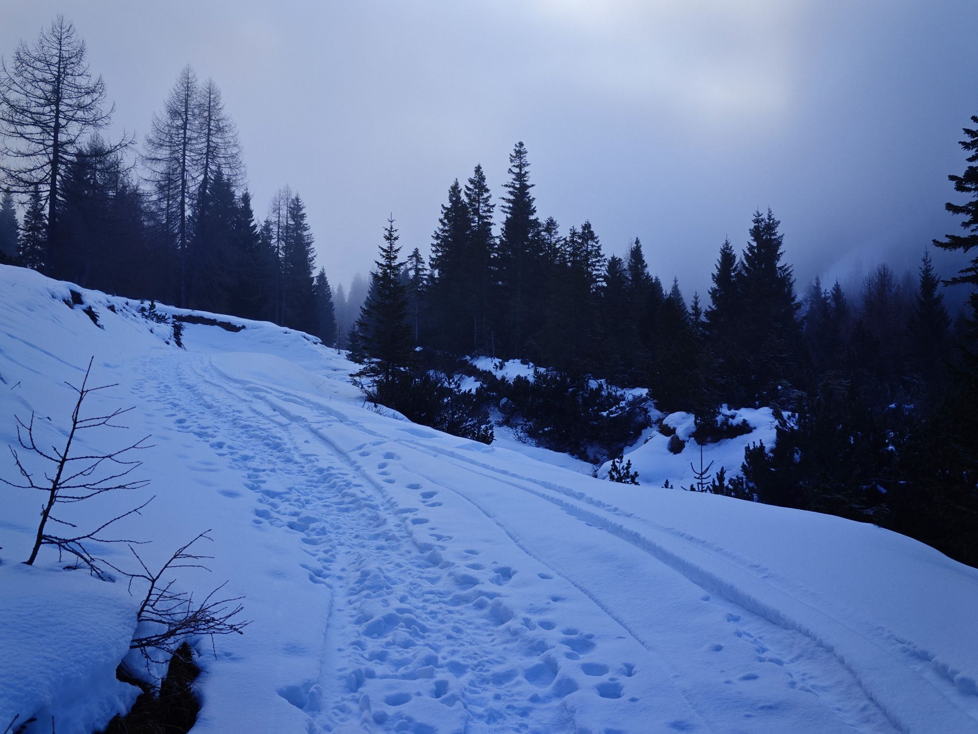
Fotos unserer User
 © Enrico TErstellt am 06.04.2026
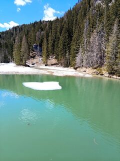 © Enrico TErstellt am 06.04.2026
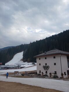
 © AleksandareicErstellt am 10.03.2026
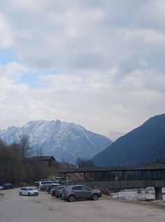 © AleksandareicErstellt am 10.03.2026
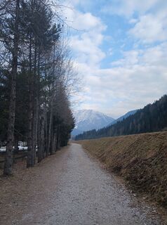 © AleksandareicErstellt am 10.03.2026
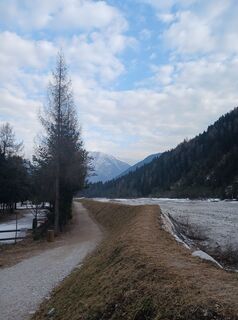 © AleksandareicErstellt am 10.03.2026
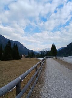 © AleksandareicErstellt am 10.03.2026
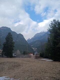 © AleksandareicErstellt am 10.03.2026
 © AleksandareicErstellt am 10.03.2026
 © Enrico TErstellt am 26.12.2025
 © Enrico TErstellt am 26.12.2025
 © Enrico TErstellt am 26.12.2025
 © Fabrizio PlesnizerErstellt am 28.11.2025
 © VESNA PETROVIČErstellt am 26.10.2025
 © VESNA PETROVIČErstellt am 26.10.2025
 © VESNA PETROVIČErstellt am 26.10.2025
 © VESNA PETROVIČErstellt am 26.10.2025
 © Anne-Lise GarnierErstellt am 13.09.2025
 © Anne-Lise GarnierErstellt am 13.09.2025
 © Gianluca BucciantiniErstellt am 06.09.2025
 © Gianluca BucciantiniErstellt am 04.09.2025
 © Gianni VaruttiErstellt am 25.08.2025
 © Gianni VaruttiErstellt am 25.08.2025
 © Fabio CosmaErstellt am 21.08.2025
 © Fabio CosmaErstellt am 21.08.2025
 © Fabio CosmaErstellt am 21.08.2025
 © Michele C.Erstellt am 19.08.2025
 © Gianni VaruttiErstellt am 11.08.2025
 © Gianni VaruttiErstellt am 05.08.2025
 © AleMareErstellt am 18.07.2025
 © AleMareErstellt am 18.07.2025
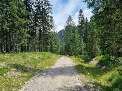 © AleMareErstellt am 18.07.2025
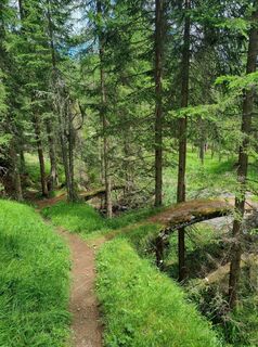 © AleMareErstellt am 18.07.2025
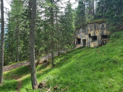 © AleMareErstellt am 18.07.2025
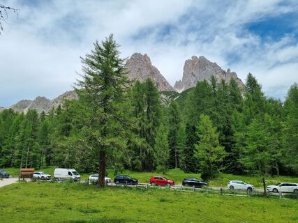 © AleMareErstellt am 18.07.2025
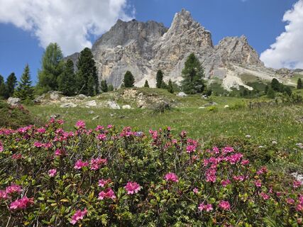
 © Gerti BärnthalerErstellt am 22.06.2025
 © Gerti BärnthalerErstellt am 21.06.2025
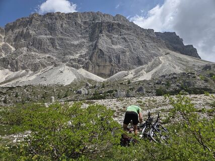 © Gerti BärnthalerErstellt am 21.06.2025
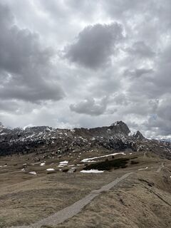 © Christian LentiniErstellt am 11.05.2025
 © Christian LentiniErstellt am 11.05.2025
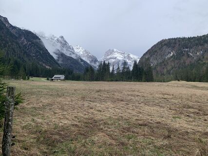
 © Luciano Di LeoErstellt am 25.04.2025
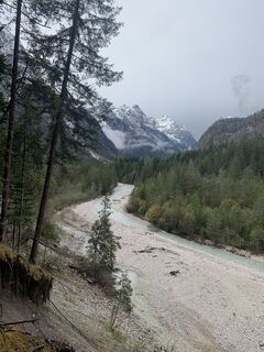 © Luciano Di LeoErstellt am 25.04.2025
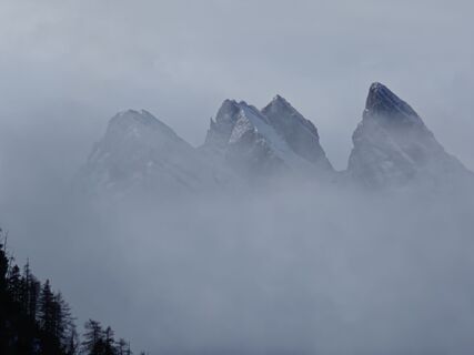
 © Luca SangiorgioErstellt am 22.01.2025
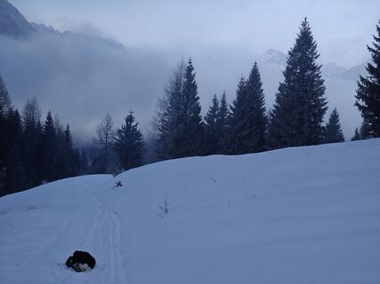 © Luca SangiorgioErstellt am 22.01.2025
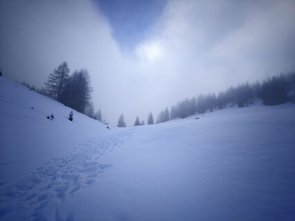 © Luca SangiorgioErstellt am 22.01.2025
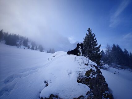 © Luca SangiorgioErstellt am 22.01.2025
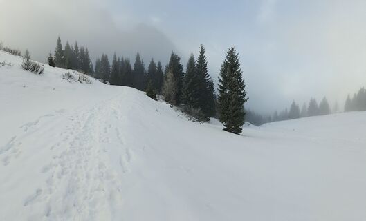 © Luca SangiorgioErstellt am 22.01.2025
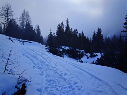 © Luca SangiorgioErstellt am 22.01.2025


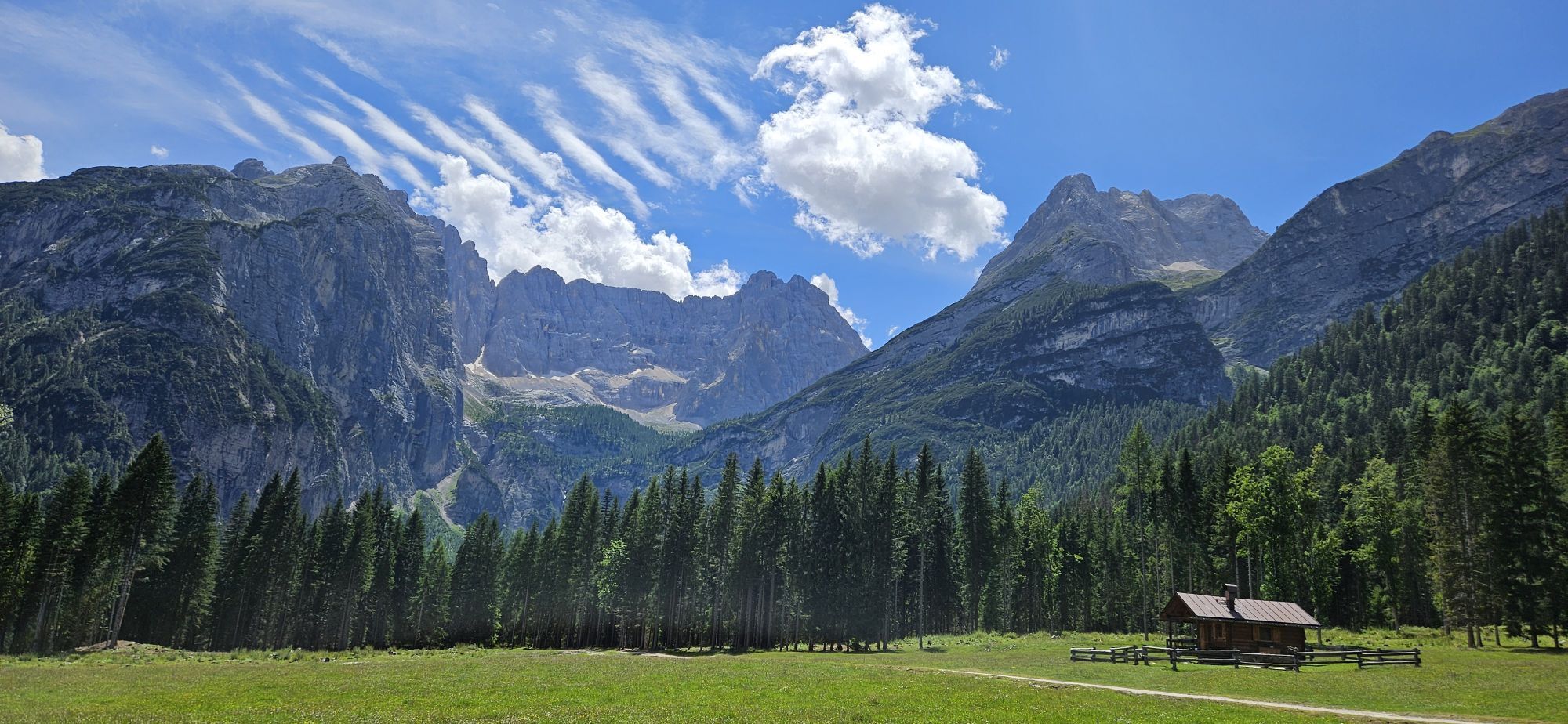
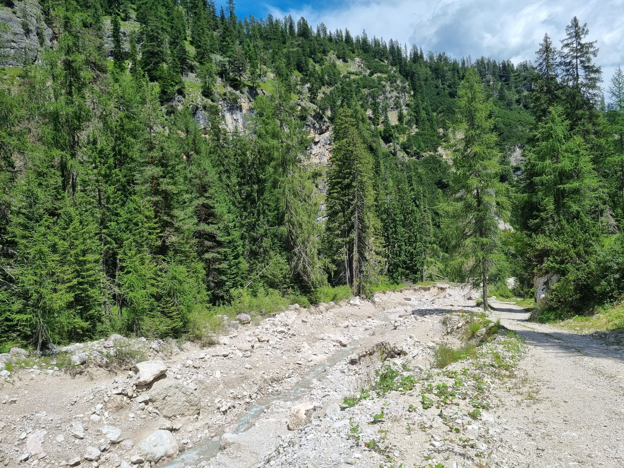
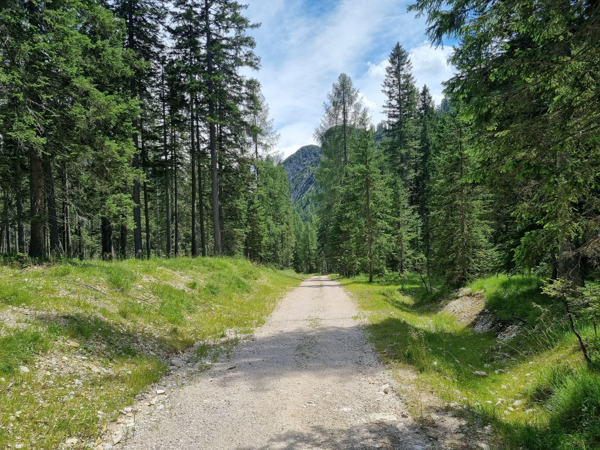


Wegverlauf
Untarlont
(823 m)
Stadtviertel
0,0 km
Chiandelin
(754 m)
Siedlung
11,7 km
Rifugio Sorgenti del Piave
(1.833 m)
Schutzhütte
54,0 km
Rifugio Piani del Cristo
(1.422 m)
Schutzhütte
59,8 km
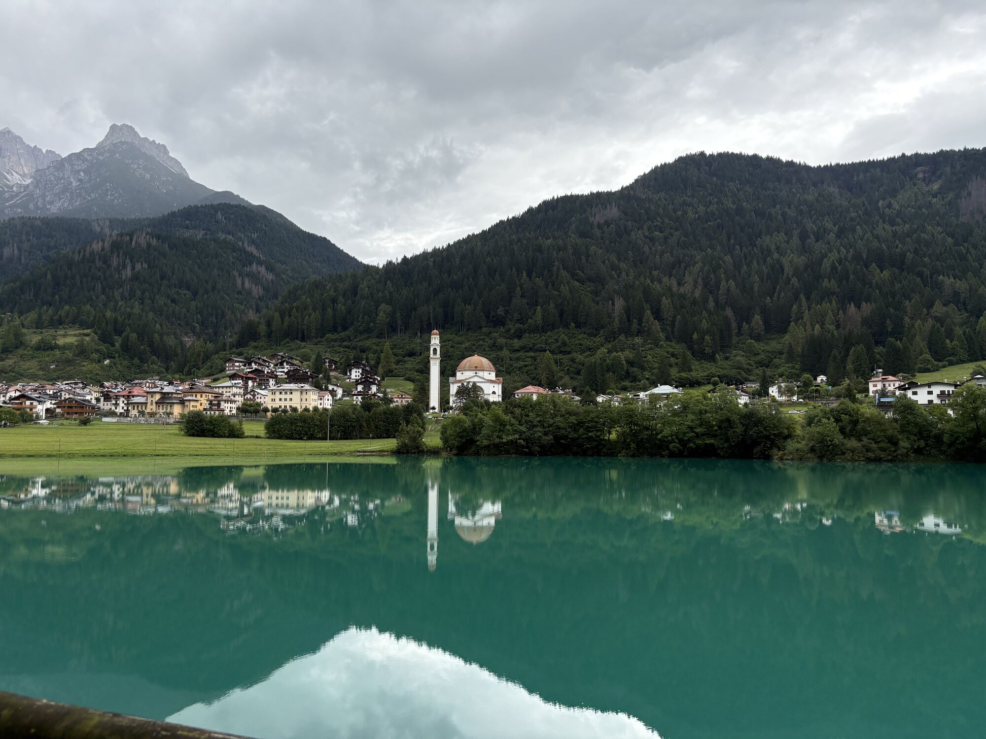
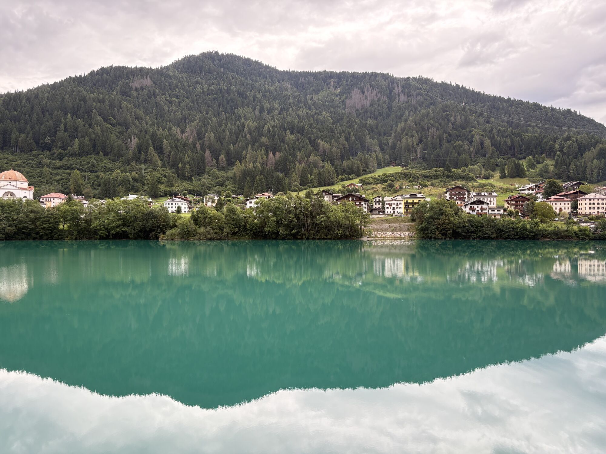
Auronzo di Cadore
(863 m)
Stadt
102,0 km
Rifugio Lago d'Ajal
(1.404 m)
Schutzhütte
149,5 km
Pralongiá
(2.109 m)
Gipfel
172,6 km
Wegverlauf
Rana - Störes - Pralongiá - Arabba
mittel
Wanderung
181,74
km
Untarlont
(823 m)
Stadtviertel
0,0 km
Rana
(823 m)
Stadtviertel
0,0 km
Tischelwang
(822 m)
Dorf
0,0 km
Scholeit
(823 m)
Flur/Gelände
0,1 km
Albergo ristorante Matiz "Da Otto"
(823 m)
Restaurant
0,3 km
Groom
(827 m)
Stadtviertel
0,3 km
Nezz Braida
(827 m)
Stadtviertel
0,4 km
Cleulis
(832 m)
Siedlung
2,1 km
Laipacco
(837 m)
Siedlung
2,3 km
Placcis
(915 m)
Siedlung
2,5 km
Cleulis Centro
(905 m)
Siedlung
2,9 km
Cercivento
(605 m)
Dorf
8,9 km
Cûr di Ludi
(679 m)
Flur/Gelände
10,1 km
Vidal
(715 m)
Siedlung
11,4 km
Chiandelin
(754 m)
Siedlung
11,7 km
Costa
(780 m)
Siedlung
12,0 km
Pît da Pecol
(670 m)
Flur/Gelände
13,2 km
Fratta
(780 m)
Siedlung
14,2 km
Prepaulin
(831 m)
Siedlung
15,5 km
Zovello
(921 m)
Dorf
16,8 km
Ravascletto
(906 m)
Dorf
21,2 km
Alnetto
(906 m)
Siedlung
21,7 km
Salars
(956 m)
Siedlung
22,3 km
Tualis
(918 m)
Siedlung
25,2 km
Gracco
(760 m)
Siedlung
27,8 km
Vuezzis
(878 m)
Siedlung
29,0 km
Stalis
(868 m)
Siedlung
29,7 km
Guksberg
(1.120 m)
Siedlung
30,9 km
Osteria Pura Follia
(1.110 m)
Restaurant
31,0 km
Collinetta
(1.191 m)
Siedlung
35,8 km
Sigilletto
(1.118 m)
Siedlung
38,4 km
Da Gina
(1.110 m)
Restaurant
38,4 km
Chiesa di San Giovanni Battista
(1.088 m)
Andachtsstätte
39,9 km
Frassenetto
(1.053 m)
Siedlung
40,0 km
Forni Avoltri
(894 m)
Dorf
42,0 km
Avoltri
(905 m)
Dorf
42,0 km
Pierabech
(1.063 m)
Flur/Gelände
46,0 km
Casera di Sesis
(1.786 m)
Flur/Gelände
52,9 km
Rifugio Sorgenti del Piave
(1.833 m)
Schutzhütte
54,0 km
Fienili di Sésis
(1.638 m)
Flur/Gelände
56,8 km
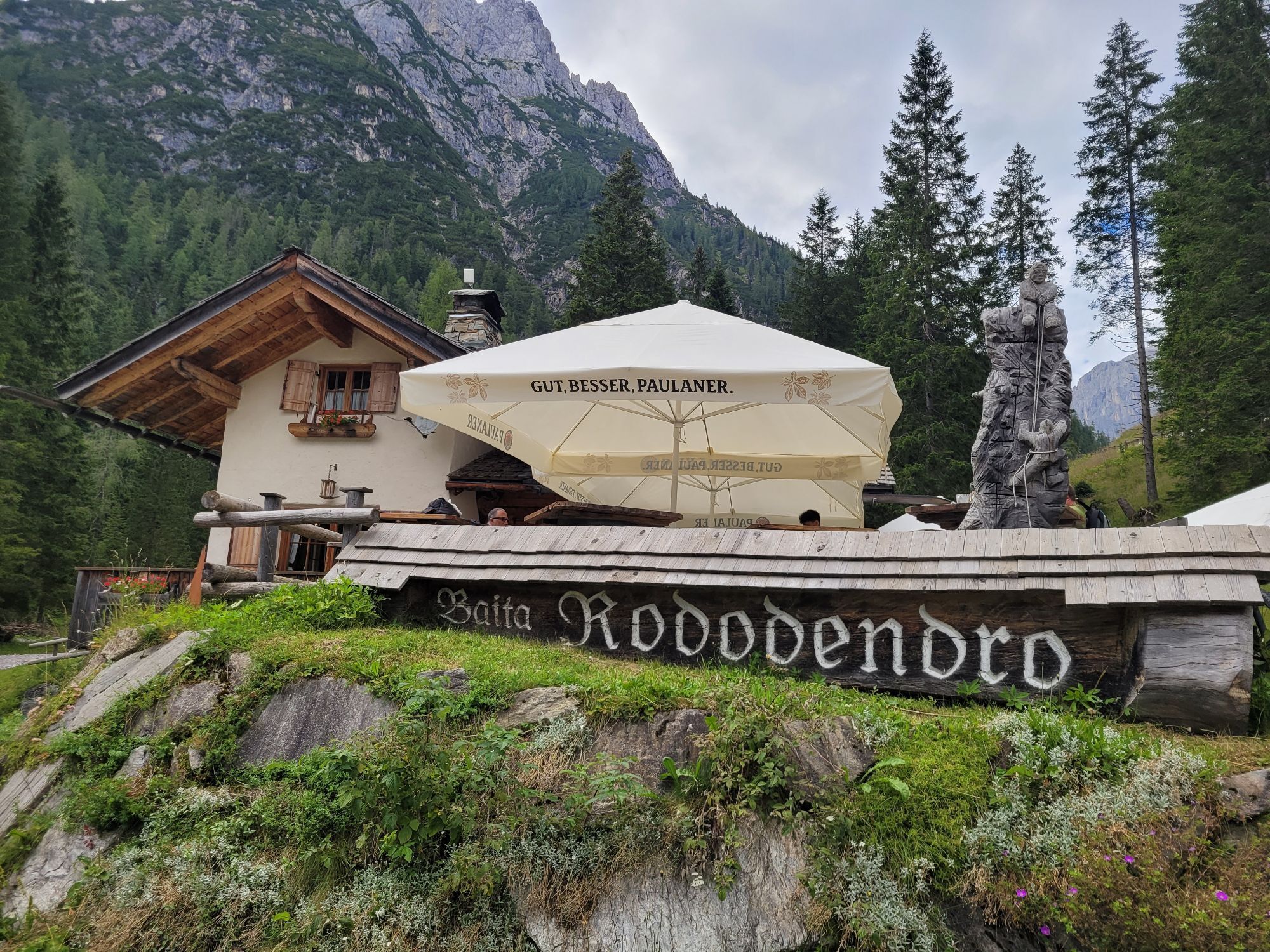
Baita Rododendro
(1.453 m)
Restaurant
58,6 km
Pian delle Bombarde
(1.442 m)
Flur/Gelände
58,8 km
Rifugio Piani del Cristo
(1.422 m)
Schutzhütte
59,8 km
Agriturismo HAIDILLE
(1.316 m)
Restaurant
61,1 km
Cascatine presso antica segheria
(1.269 m)
Wasserfall
61,3 km
Cima Sappada
(1.296 m)
Siedlung
61,6 km
SS. Trinita
(1.249 m)
Andachtsstätte
62,2 km
Borgata Cretta
(1.245 m)
Siedlung
62,3 km
Borgata Puiche
(1.271 m)
Siedlung
62,4 km
Borgata Ecche
(1.265 m)
Siedlung
62,8 km
Borgata Soravia
(1.244 m)
Siedlung
63,5 km
Sappada - Plodn
(1.217 m)
Dorf
65,8 km
Tämer di Dentro
(1.648 m)
Flur/Gelände
71,0 km
Pomaré
(955 m)
Stadtteil
75,9 km
Campolongo
(937 m)
Dorf
76,4 km
Chiesa di Santo Stefano Protomartire
(907 m)
Andachtsstätte
79,0 km
Santo Stefano di Cadore
(907 m)
Dorf
79,1 km
Bus De Val
(881 m)
Flur/Gelände
82,4 km
Tarlisse
(883 m)
Flur/Gelände
87,0 km
Le Prese
(840 m)
Flur/Gelände
89,3 km
Ponte di Campo
(760 m)
Flur/Gelände
97,4 km
Sapade
(874 m)
Flur/Gelände
99,8 km
Santa Caterina
(838 m)
Stadtteil
100,0 km
Agriturismo Al Tabià
(842 m)
Restaurant
101,7 km
Auronzo di Cadore
(863 m)
Stadt
102,0 km
Villagrande
(864 m)
Stadtteil
103,7 km
Restaurant Ribotta Artbar
(860 m)
Restaurant
104,2 km
Reane
(872 m)
Stadtviertel
104,6 km
Giralba
(934 m)
Dorf
107,6 km
Ponte degli Alberi
(1.134 m)
Flur/Gelände
126,3 km
Rio Gere
(1.685 m)
Restaurant
135,8 km
Pian de Federa
(1.776 m)
Flur/Gelände
136,9 km
Lago Scin
(1.481 m)
Siedlung
139,8 km
Staolin
(1.384 m)
Siedlung
141,0 km
SanBrite
(1.381 m)
Restaurant
141,8 km
Alverà
(1.328 m)
Siedlung
142,8 km
Funivia Faloria
(1.222 m)
Gondelstation
144,0 km
Cortina d'Ampezzo
(1.218 m)
Stadt
144,4 km
Basilica dei Santi Filippo e Giacomo
(1.211 m)
Andachtsstätte
144,7 km
Campo di Sopra
(1.142 m)
Siedlung
146,6 km
Rifugio Lago d'Ajal
(1.404 m)
Schutzhütte
149,5 km
Peziè de Parù
(1.536 m)
Restaurant
151,9 km
Baita Bai de Dònes
(1.880 m)
Restaurant
157,0 km
Strobel
(2.057 m)
Restaurant
159,2 km
Passo Falzarego
(2.108 m)
Siedlung
160,0 km
Rifugio "Passo Valparola"
(2.169 m)
Schutzhütte
162,5 km
Störes
(2.185 m)
Gipfel
171,8 km
Pralongiá
(2.109 m)
Gipfel
172,6 km
Incisa
(2.130 m)
Gondelstation
172,7 km
Ütia La Marmotta
(1.942 m)
Restaurant
173,9 km
Ütia Incisa
(1.927 m)
Schutzhütte
174,1 km
Vizza
(2.080 m)
Gondelstation
176,5 km
Cherz
(2.095 m)
Gipfel
176,5 km
Cherz-Hütte
(2.082 m)
Schutzhütte
176,5 km
Hotel Boe
(1.860 m)
Restaurant
179,1 km
Arabba
(1.600 m)
Dorf
181,5 km
Noch keine Bewertungen
Beliebte Touren in der Nähe
- 4,9
Drei Zinnen
mittelWanderung 19,6 km - 4,9
#31: Paternkofel von Auronzohütte, und Schartenweg, B/C
schwerKlettersteig 15,7 km - 4,8
Rotwandwiesen kreuzbergpass rundweg
mittelWanderung 12,0 km - 3,9
Rotwandspitze
mittelKlettersteig 10,6 km - 5,0
Paternkofel_Schartenweg
schwerKlettersteig 20,7 km - 5,0
Karnischer Höhenweg – Etappe 2: Obstansersee Hütte – Porzehütte
schwerFernwanderweg 12,0 km - 4,0
Porze (2.589 m)
schwerWanderung 9 km - 3,0
Klettersteigrunde Alpinisteig - Sentinellascharte (B/C)
Klettersteig 9,80 km - 4,1
Auf die Bullelejoch Hutte
mittelWanderung 8,60 km - 5,0
Tilliacher Joch vom Klapfsee
mittelWanderung 7,27 km

Wandern & Tracking

Über 550.000 Tourenvorschläge, detailliertes Kartenmaterial und ein intuitiver Routenplaner machen die App zum Must-have für alle Naturbegeisterten.

Verpasse keine Angebote und Inspirationen für deinen nächsten Urlaub
Zum Newsletter anmelden
Fehler
Ein Fehler ist aufgetreten. Bitte versuche es erneut.Vielen Dank für deine Anmeldung
Deine E-Mail-Adresse wurde in den Verteiler eingetragen.
Touren in ganz Europa
Österreich Schweiz Deutschland Italien Slowenien Frankreich Niederlande Belgien Polen Liechtenstein Tschechien Slowakei Spanien Kroatien Bosnien und Herzegowina Luxemburg Andorra Portugal Island Vereinigtes Königreich Irland Griechenland Albanien Nordmazedonien Malta Norwegen Montenegro Moldau Kosovo Ungarn San Marino Rumänien Estland Lettland Belarus Zypern Litauen Serbien Bulgarien Monaco Dänemark Schweden Finnland