
Ceroglie / Cerovlje - Kmečki turizem Antonič / AgriRistoro Antonič - Ermada / Grmada - Monte Cocco / Piciganišče
mittel
Hol diese Tour auf dein Handy
Ceroglie / Cerovlje - Kmečki turizem Antonič / AgriRistoro Antonič - Ermada / Grmada - Monte Cocco / Piciganišče
mittel
Wanderung
8,29
km
QR-Code scannen und Navigation in der bergfex App beginnen


Wandern & Tracking




Ceroglie / Cerovlje - Kmečki turizem Antonič / AgriRistoro Antonič - Ermada / Grmada - Monte Cocco / Piciganišče
mittel
Distanz
8,29
km
Dauer
02:17
h
Aufstieg
278
hm
Seehöhe
136 -
316
m

Navigiere deine Tour in der App
Installiere die App kostenlos und behalte die Strecke im Blick, mit GPS-Navigation und Tracking.
Nutze bergfex jetzt in der App
Scanne den QR-Code mit deiner Kamera
Ist die App installiert, öffnet sich der Inhalt direkt. Hast du die App noch nicht, gelangst du zum kostenlosen Download.
Track-Download
Ceroglie / Cerovlje - Kmečki turizem Antonič / AgriRistoro Antonič - Ermada / Grmada - Monte Cocco / Piciganišče
mittel
Wanderung
8,29
km
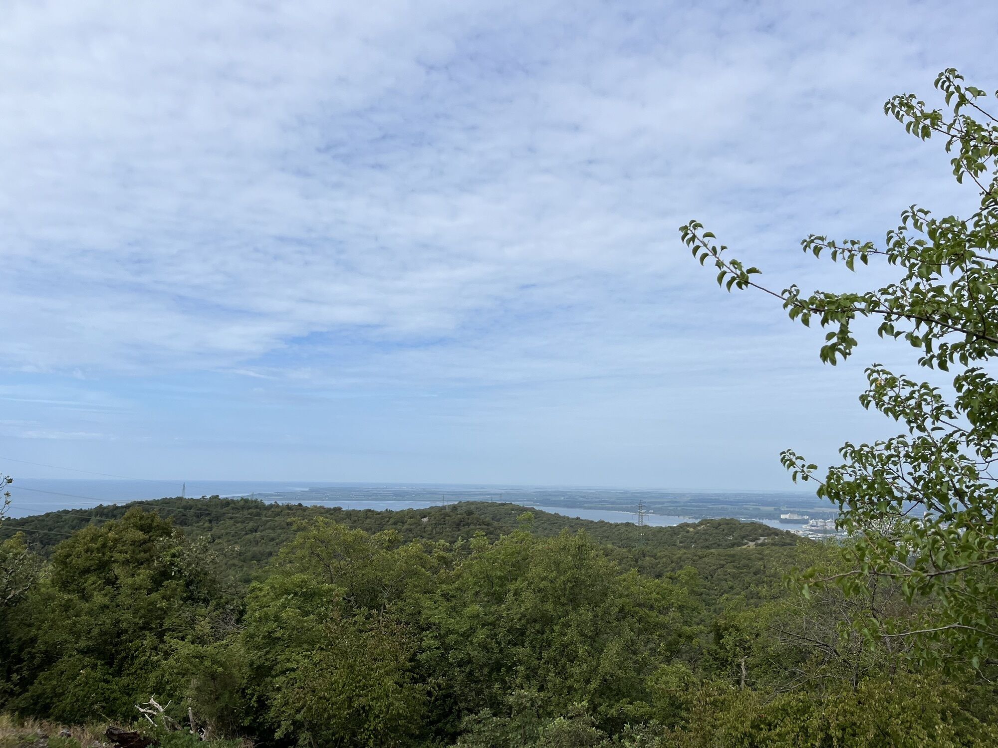
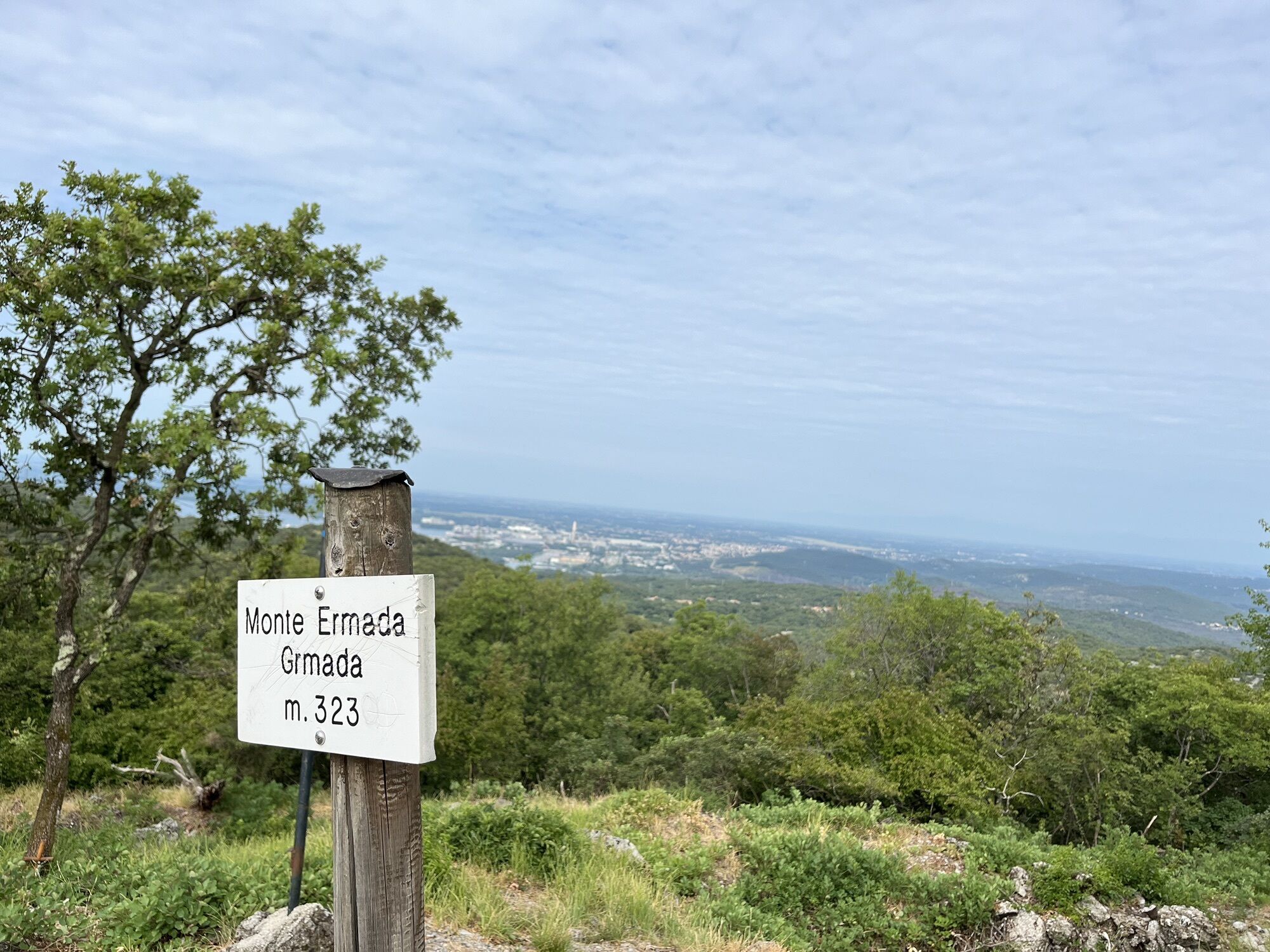
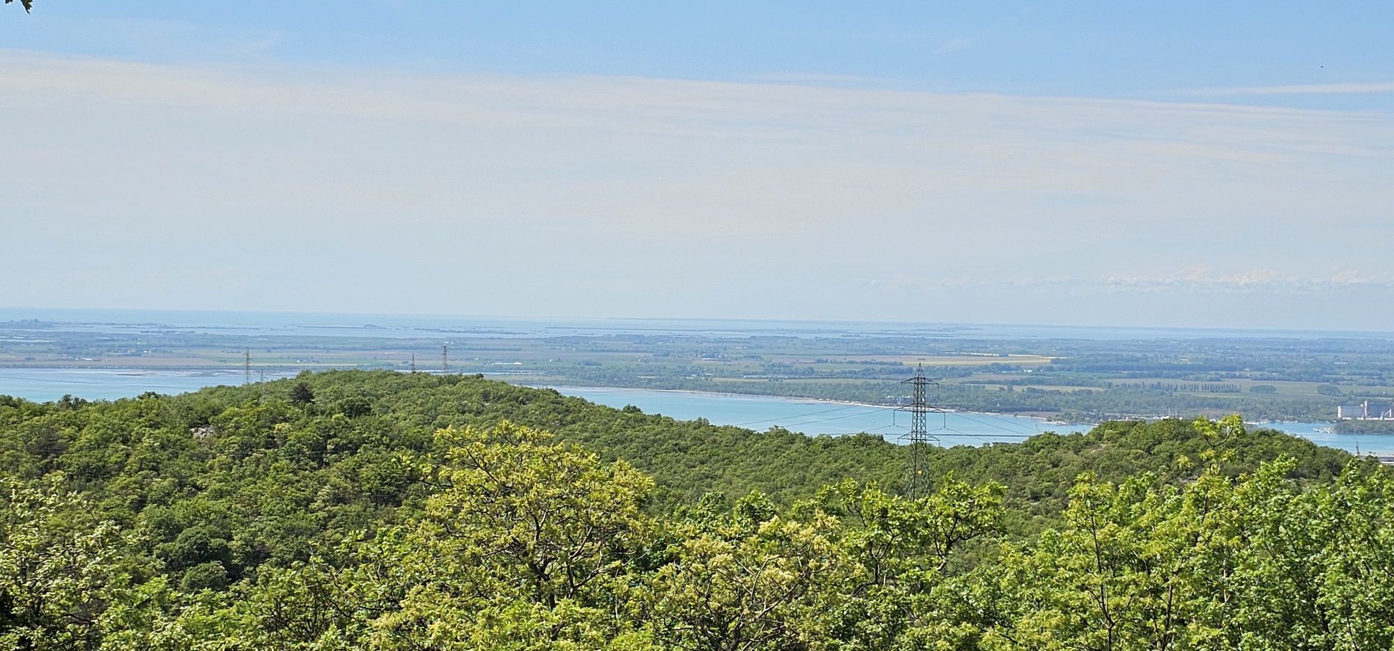
Wegverlauf
Ceroglie / Cerovlje
(139 m)
Dorf
0,0 km
Hermada
(323 m)
Gipfel
2,1 km
Grotta sul Monte Ermada (1° ingresso)
(274 m)
Höhleneingang
2,9 km
Monte Cocco / Piciganišče
(275 m)
Gipfel
4,3 km
Ceroglie / Cerovlje
(139 m)
Dorf
8,2 km
Wegverlauf
Ceroglie / Cerovlje - Kmečki turizem Antonič / AgriRistoro Antonič - Ermada / Grmada - Monte Cocco / Piciganišče
mittel
Wanderung
8,29
km
Ceroglie / Cerovlje
(139 m)
Dorf
0,0 km
Kržada
(140 m)
Flur/Gelände
0,1 km
Kmečki turizem Antonič / AgriRistoro Antonič
(155 m)
Restaurant
0,2 km
Puškinišče
(171 m)
Flur/Gelände
0,7 km
Nadpuškinišče
(180 m)
Flur/Gelände
0,9 km
Grotta Dörfler
(175 m)
Höhleneingang
1,2 km
Grotta del Motore (ingresso naturale)
(221 m)
Höhleneingang
1,6 km
Grotta del Motore (ingresso artificiale)
(212 m)
Höhleneingang
1,6 km
Grotta sul monte Ermada (ingresso artificiale) / Pejca na Grmadi (umetni vhod)
(288 m)
Höhleneingang
1,9 km
Grotta sul Monte Ermada (ingresso naturale) / Pejca na Grmadi (naravni vhod)
(301 m)
Höhleneingang
2,0 km
Hermada
(323 m)
Gipfel
2,1 km
43
(260 m)
Höhleneingang
2,6 km
Grotta sul Monte Ermada (1° ingresso)
(274 m)
Höhleneingang
2,9 km
Grotta presso il Monte Ermada
(255 m)
Höhleneingang
3,1 km
Velika dolina
(252 m)
Flur/Gelände
3,8 km
Grotta di Coisce (1° ingresso)
(251 m)
Höhleneingang
3,9 km
Vrhi
(266 m)
Flur/Gelände
4,3 km
Monte Cocco / Piciganišče
(275 m)
Gipfel
4,3 km
Coisce / Kohišče
(243 m)
Flur/Gelände
4,7 km
Kolo
(233 m)
Flur/Gelände
5,0 km
Crociera / Križpot
(178 m)
Flur/Gelände
6,5 km
Hrbec
(158 m)
Flur/Gelände
7,0 km
Žleb
(164 m)
Flur/Gelände
7,2 km
Hrastičje
(154 m)
Flur/Gelände
7,4 km
Pri pilju
(141 m)
Flur/Gelände
7,9 km
Kržada
(140 m)
Flur/Gelände
8,2 km
Ceroglie / Cerovlje
(139 m)
Dorf
8,2 km


Noch keine Bewertungen
Beliebte Touren in der Nähe
- 4,8
Rilkeweg
leichtWanderung 6,19 km - 4,6
Grado !
leichtRadfahren 45,5 km - 2,7
Grado - Triest (C204)
mittelFernradweg 68,2 km - 4,2
Von Grado nach Punta Sdobba und zurück (P018)
leichtFernradweg 18,2 km - 4,1
Grado - Città Giardino - Grado Pineta - Caramoddo
Radfahren 56,2 km - 5,0
Etappe 34 Alpe-Adria-Trail: Duino - Prosecco
mittelFernwanderweg 24,3 km - 3,0
Die Isola della cona
leichtWanderung 12,7 km - 5,0
Salbeiweg oder Tiziana-Weiss-Weg
leichtWanderung 2,41 km Carsus Trail - ein Fernwanderweg durch die Karstregion in Slowenien und Italien
mittelFernwanderweg 102,2 kmFVG 2/b Variante del Carso (C2V2)
schwerFernradweg 105,1 km
Wandern & Tracking

Über 550.000 Tourenvorschläge, detailliertes Kartenmaterial und ein intuitiver Routenplaner machen die App zum Must-have für alle Naturbegeisterten.

Verpasse keine Angebote und Inspirationen für deinen nächsten Urlaub
Zum Newsletter anmelden
Fehler
Ein Fehler ist aufgetreten. Bitte versuche es erneut.Vielen Dank für deine Anmeldung
Deine E-Mail-Adresse wurde in den Verteiler eingetragen.
Touren in ganz Europa
Österreich Schweiz Deutschland Italien Slowenien Frankreich Niederlande Belgien Polen Liechtenstein Tschechien Slowakei Spanien Kroatien Bosnien und Herzegowina Luxemburg Andorra Portugal Island Vereinigtes Königreich Irland Griechenland Albanien Nordmazedonien Malta Norwegen Montenegro Moldau Kosovo Ungarn San Marino Rumänien Estland Lettland Belarus Zypern Litauen Serbien Bulgarien Monaco Dänemark Schweden Finnland





