





coastal views and old military paths on Babina glava
Close to the coastal city of Budva, this hike is perfect for those who enjoy a long, adventures walk and are keen to get to the heart of Lovcén Natioanl Park. Starting from the village of Brajici on the...
Close to the coastal city of Budva, this hike is perfect for those who enjoy a long, adventures walk and are keen to get to the heart of Lovcén Natioanl Park. Starting from the village of Brajici on the Budva-Cetinje road, this hike follows mostly old military trails up to the open high plateau overlooking the coast and the surrounding mountains. Babina glava might not be a spectacular summit in itself, but it is one of the highest points on the plateau and offers and unforgettable panorama. This is truly one of the most beautiful hikes you can do along the coast of Montenegro.
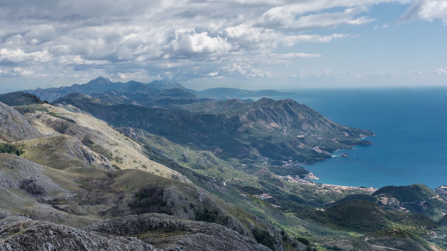
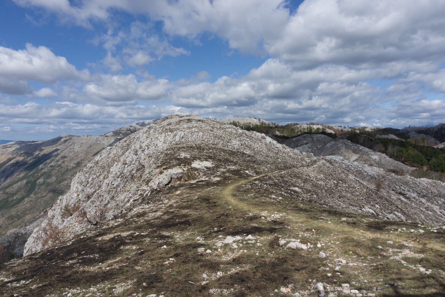
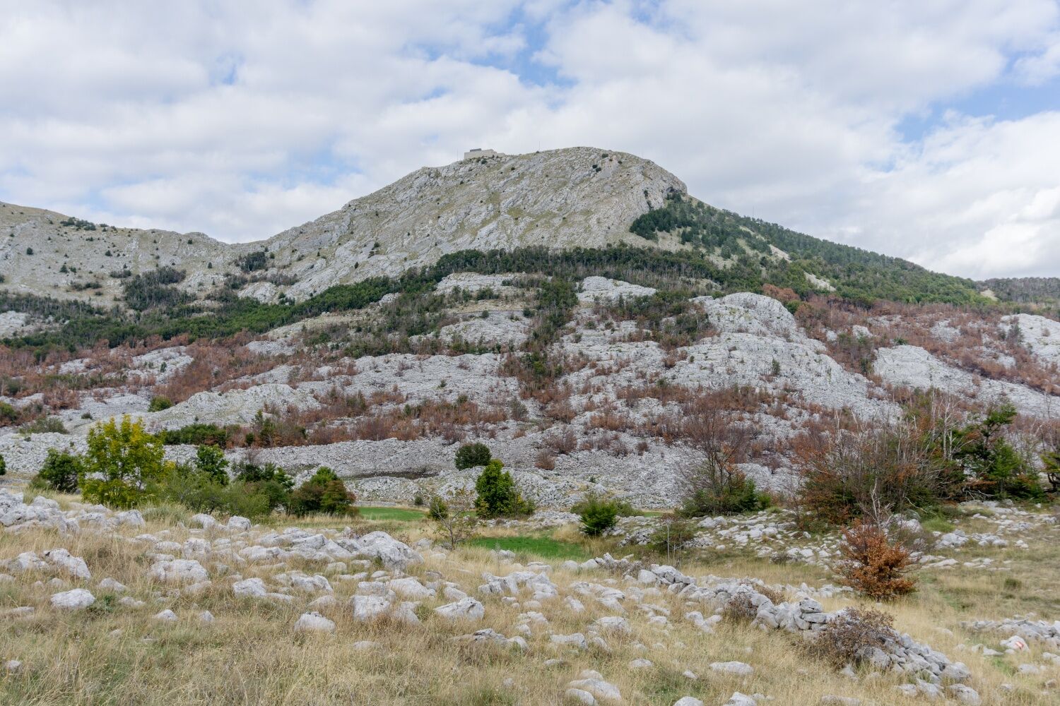

Start from the main road up into the village and follow the road to the church. Shortly after, the road ends and two trails fork off along the slopes. Take the marked one to your right hand and follow it up along the slope (quite steep in parts) until you reach the plateau unter Kuljes hill some 500 meters further up. Here, several paths branch of on both sides. Keep to the left of the hill so you always have the view over the coastline. The path continues into a little valley between the hilltops until it descends to a lower part of the plateau where a dirt road leads off to the right. Don't take the dirt road, but keep left on a trail leading you along the western escarpment to the summit of Babina glava.
After a well-deserved break on the summit, turn back the same way. After about a kilometer, a tral branches off to the left continuing along the ridge and then down the steep slopes in south western direction. When you get to a junction in a small valley, keep left and follow the trail along the slopes until you get to a dirt road. Keep left to stay at the same altitude and follow the dirt road until a little path branches off to the left. Take that one and follow it, always at the same altitude along the slope back to Brajici.
Make sure to take enough water and protection against the sun with you. Also, stay cautious of dogs and try to avoid them, if possible.
From Budva, take the road to Betinje. You'll reach Brajići after about 20-25 minutes by car.
There are regular busses running from Budva via Zavala to Brajići.
Along the main road, there are several possibilities of parking your car.
This hike is perfect for the colder months - in summer you get barbecued by the sun on the open plateau.
Beliebte Touren in der Nähe
- 4,0
Kotor1
mittelWanderung 23,5 km - 5,0
Lovćen tour 11km
mittelWanderung 10,9 km Montenegro: Lovcen - Jezerski
leichtE-MTB 34,4 kmMontenegro Sveti Llija
mittelWanderung 10,2 kmZa Vratlom - Veliko Ćedilo - Subra - Lunje
schwerFernwanderweg 158,4 kmMorinj - Ilijina Glavica - Zanovjetni brijeg - Cetinje
schwerFernradweg 103,2 kmPrijestolnica Cetinje - Sv. Jeremija - Štirovnik - Jančine
schwerWanderung 19,9 kmPrijestolnica Cetinje - Knež Do - Kotor - Đerinski vrh
mittelWanderung 6,10 kmPlagente - Kotor - crkva svetog Mateja - La Ricetta
leichtWanderung 7,37 kmIvanova korita - Nevjesta Jadrana - Dolovi - Prijestolnica Cetinje
leichtWanderung 7,11 km

Wandern & Tracking


Verpasse keine Angebote und Inspirationen für deinen nächsten Urlaub
Deine E-Mail-Adresse wurde in den Verteiler eingetragen.





