
Via Claudia Augusta
schwer
Hol diese Tour auf dein Handy
Via Claudia Augusta
schwer
Radfahren
752,92
km
QR-Code scannen und Navigation in der bergfex App beginnen


Wandern & Tracking





Via Claudia Augusta
schwer
Distanz
752,9
km
Dauer
41:49
h
Aufstieg
6.540
hm
Seehöhe
1 -
1.512
m
Track-Download
Via Claudia Augusta
schwer
Radfahren
752,92
km
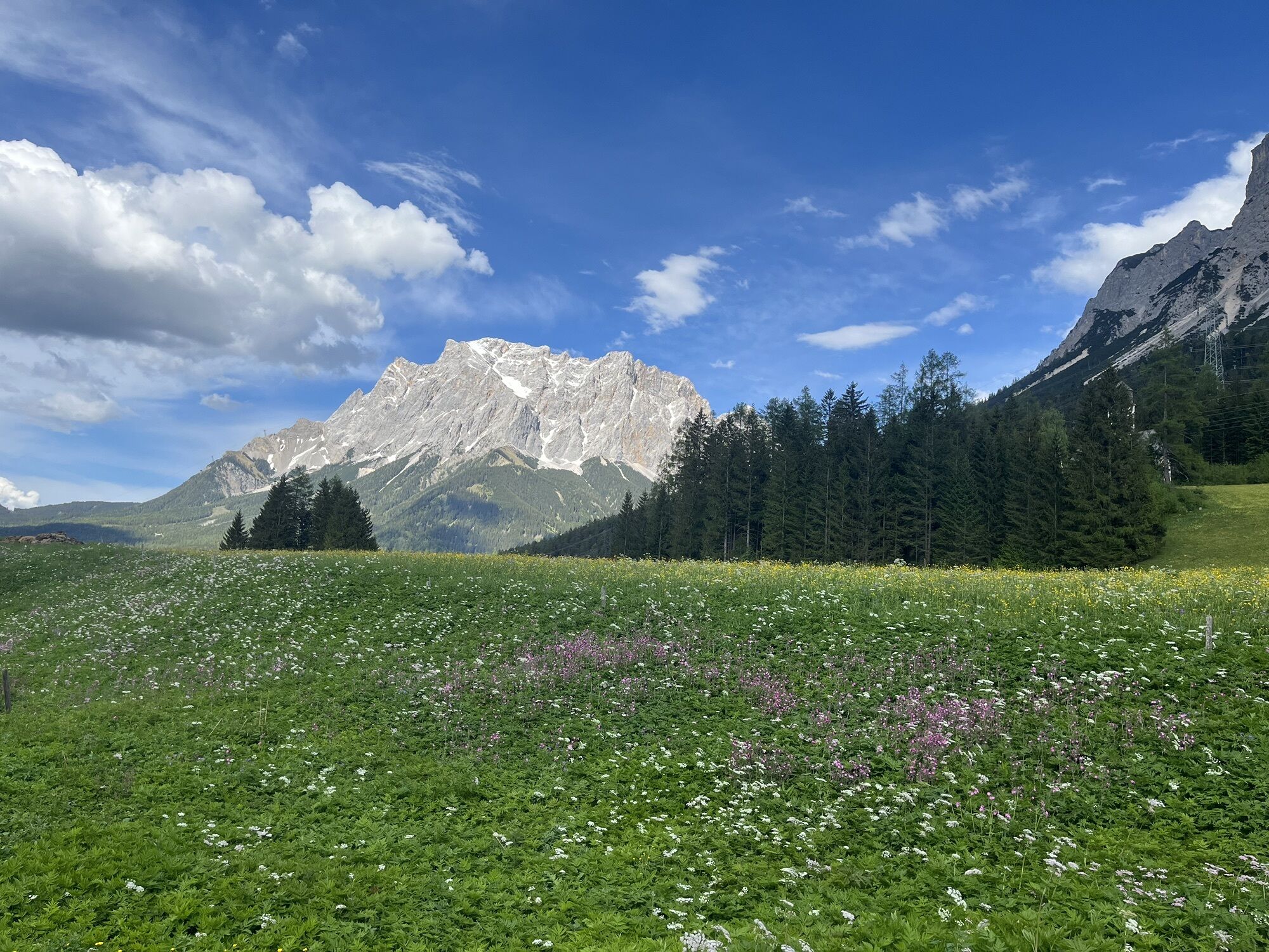
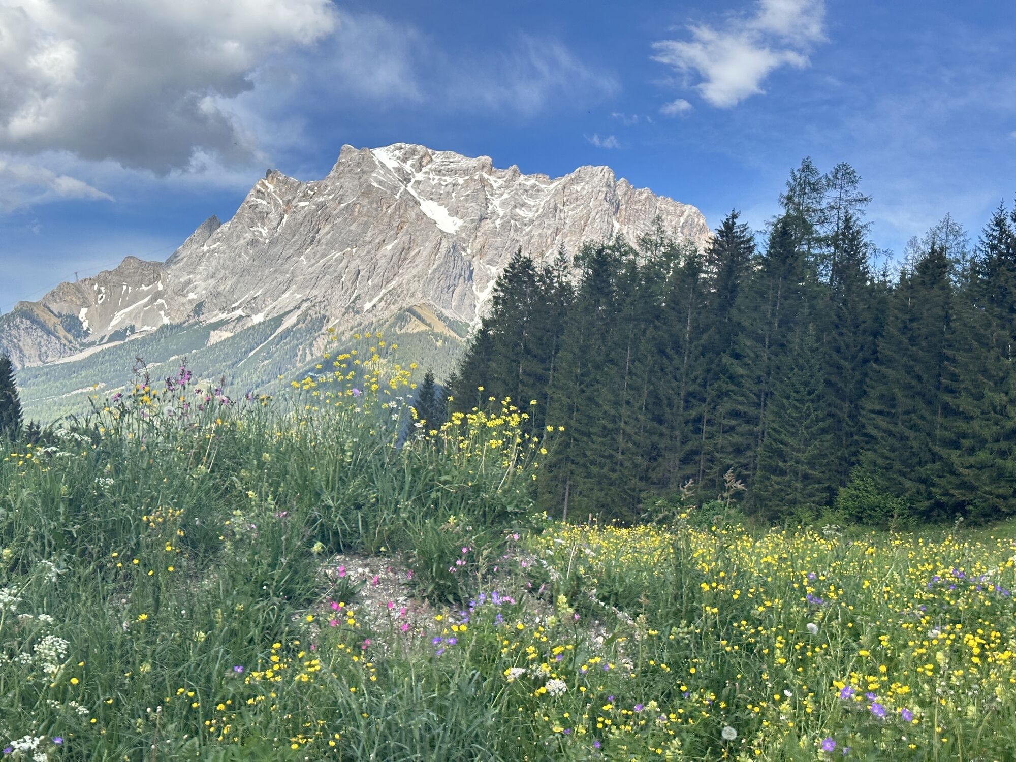
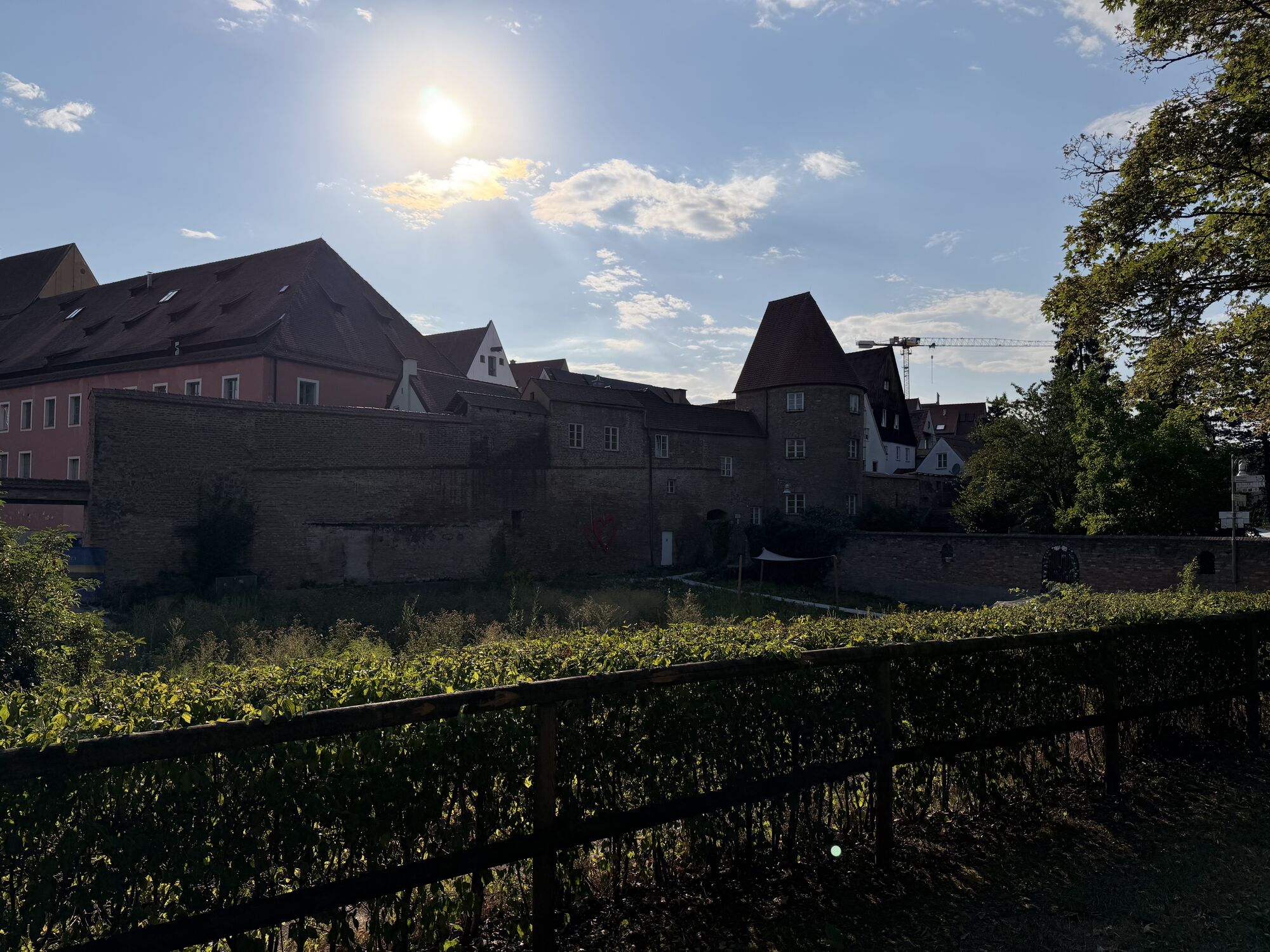
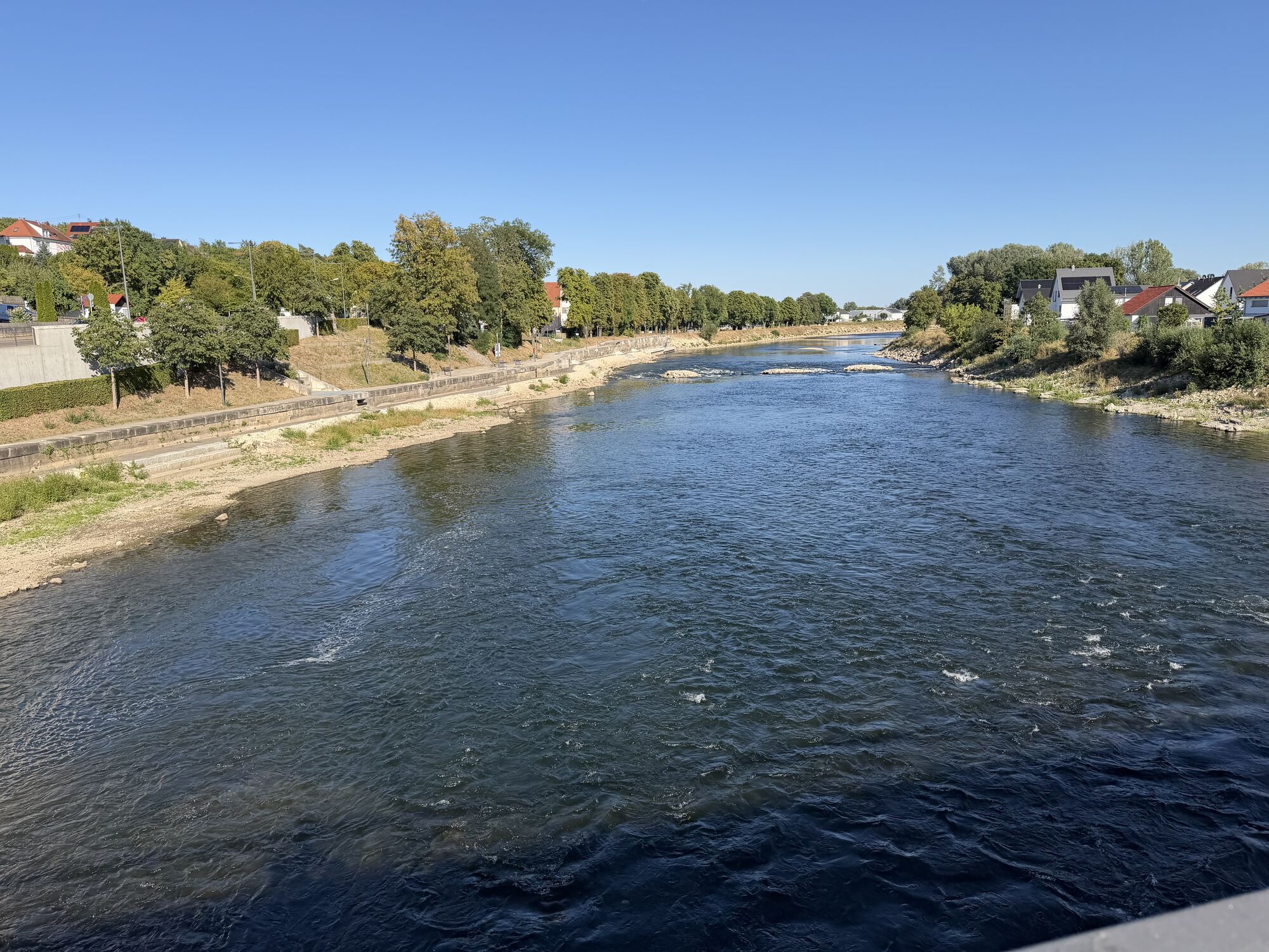
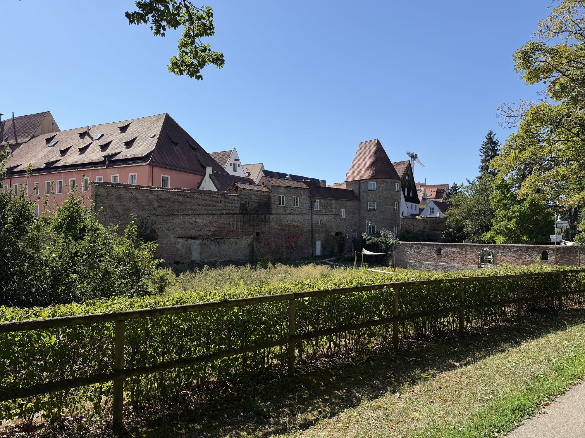
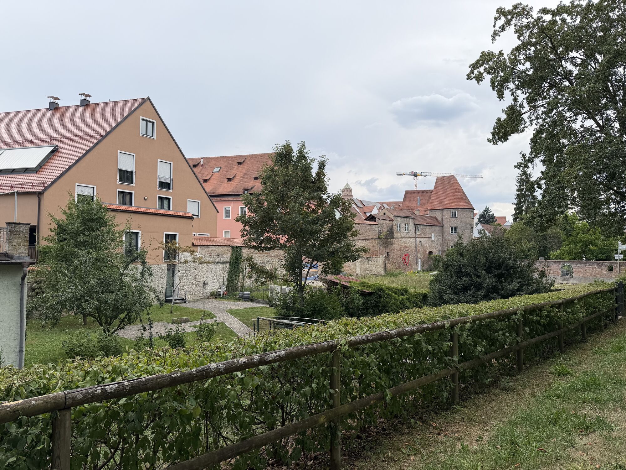
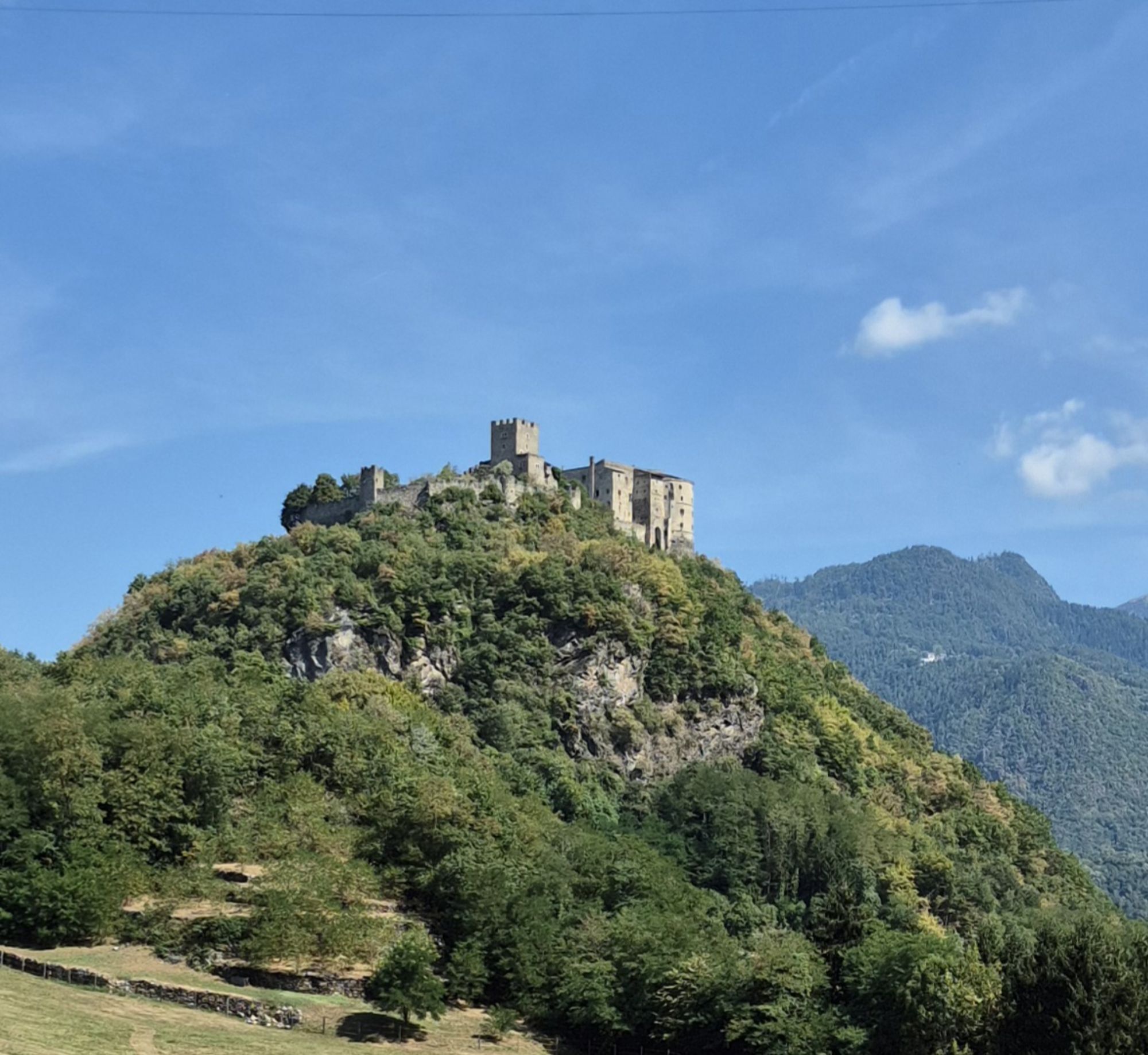
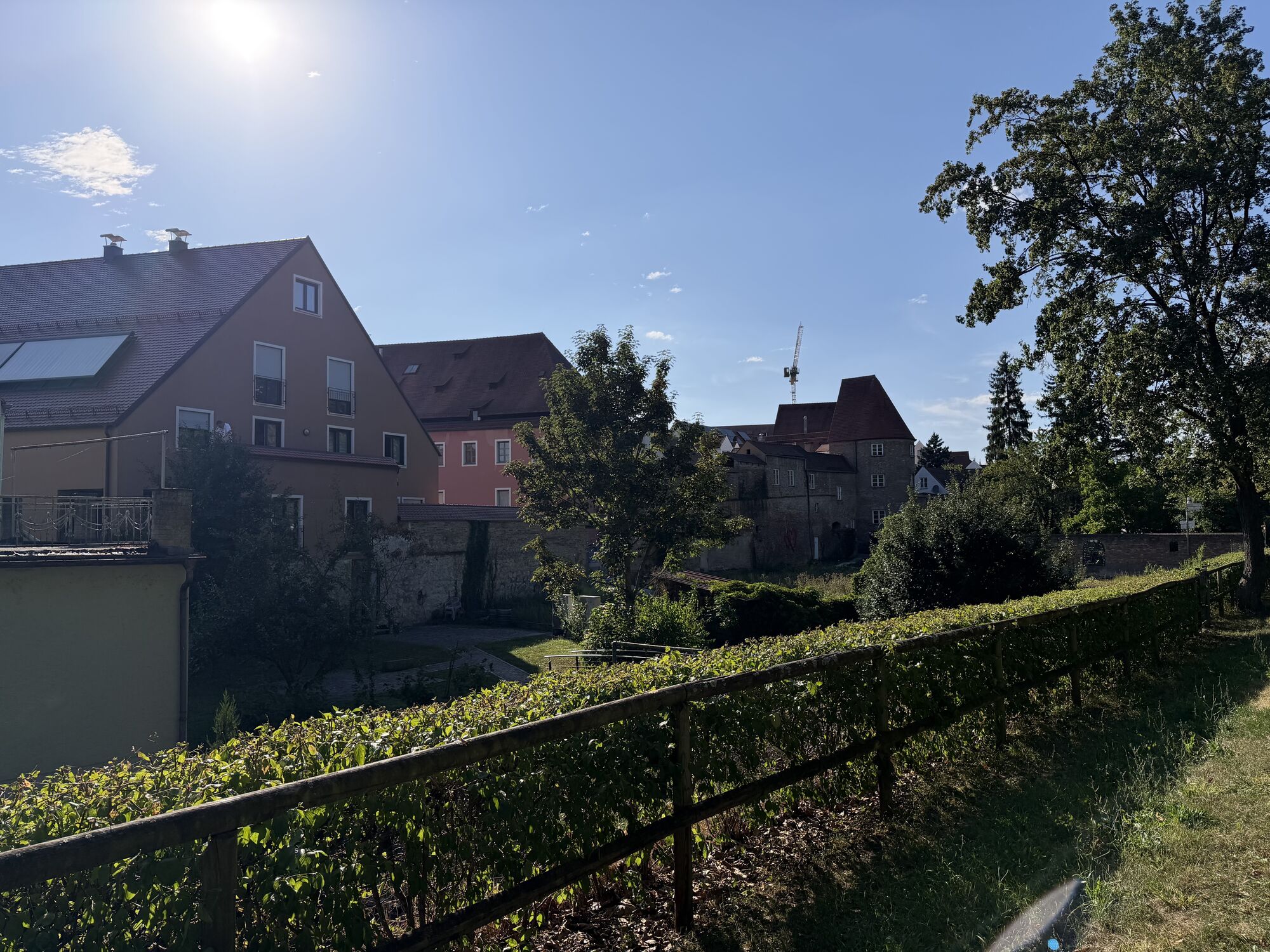
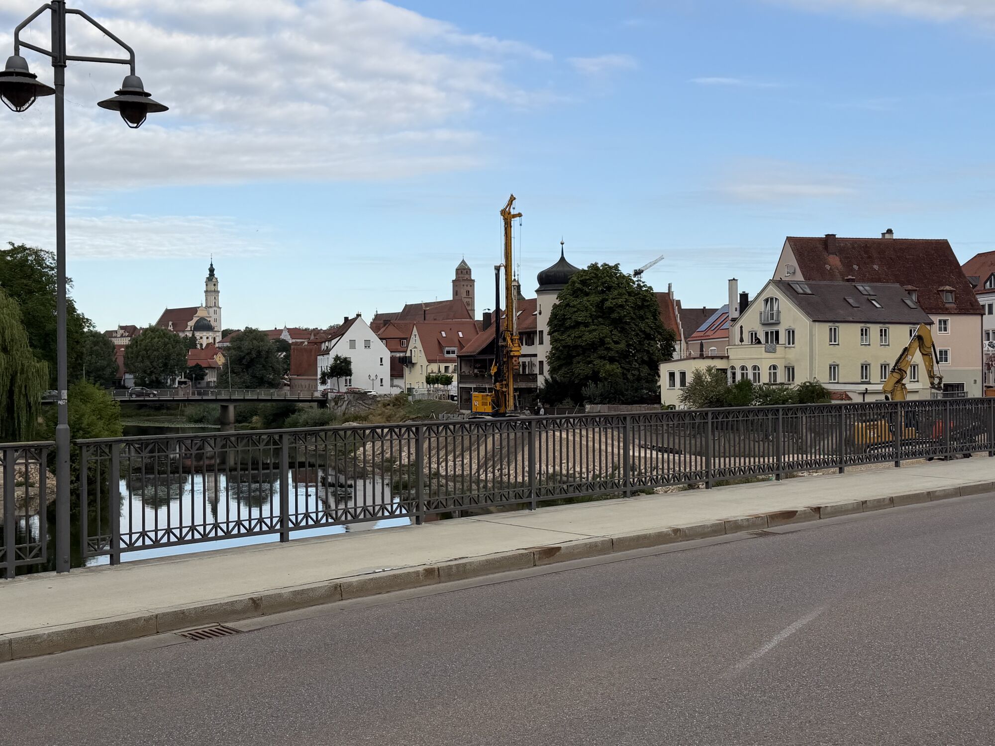
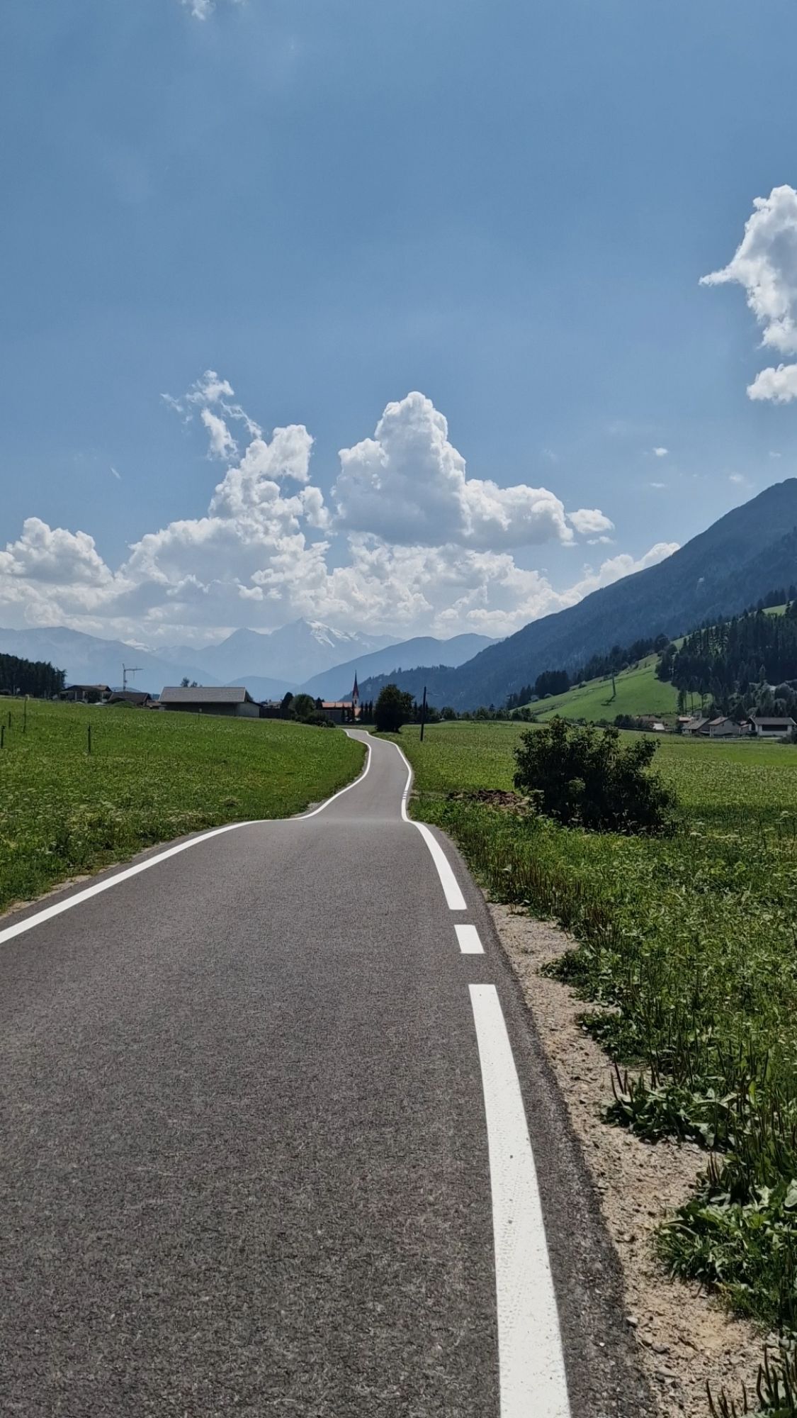
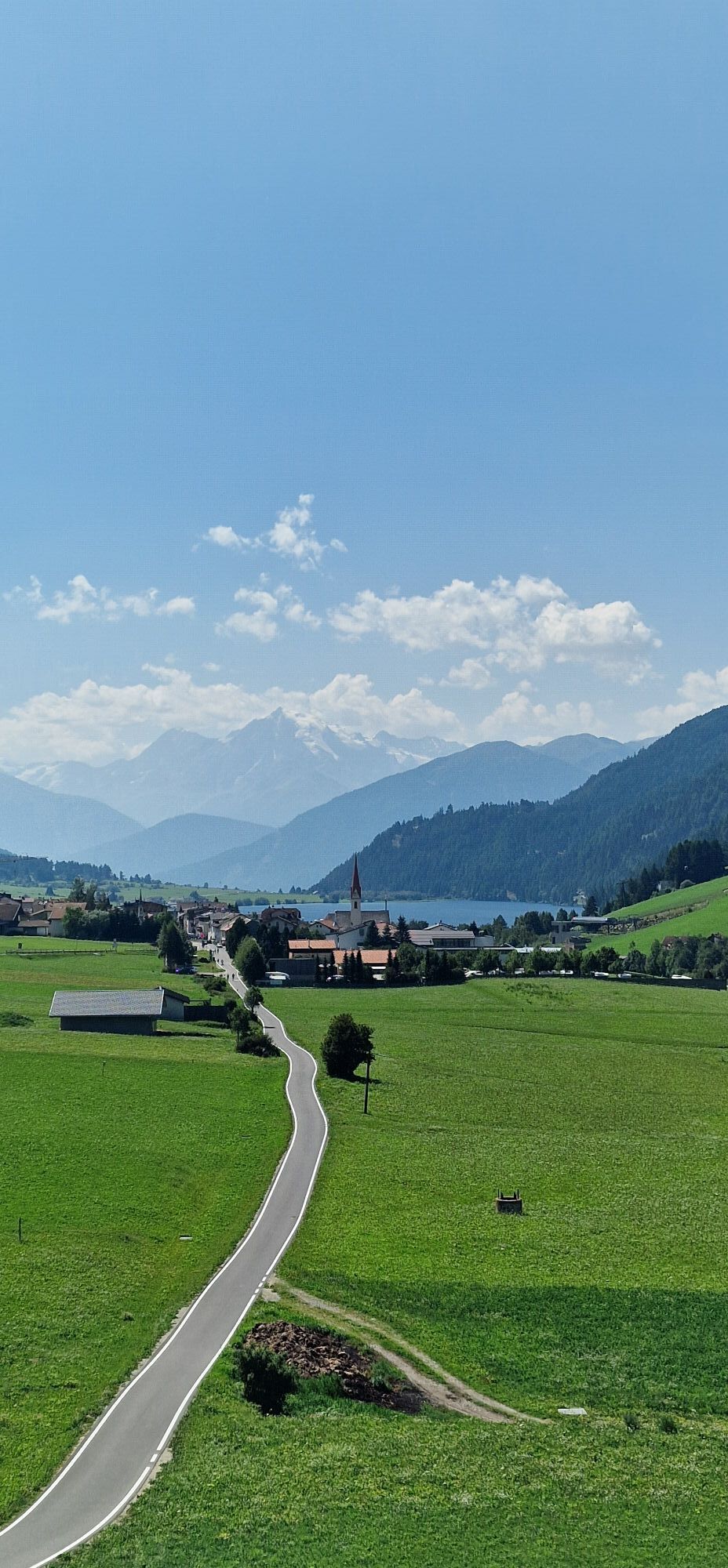
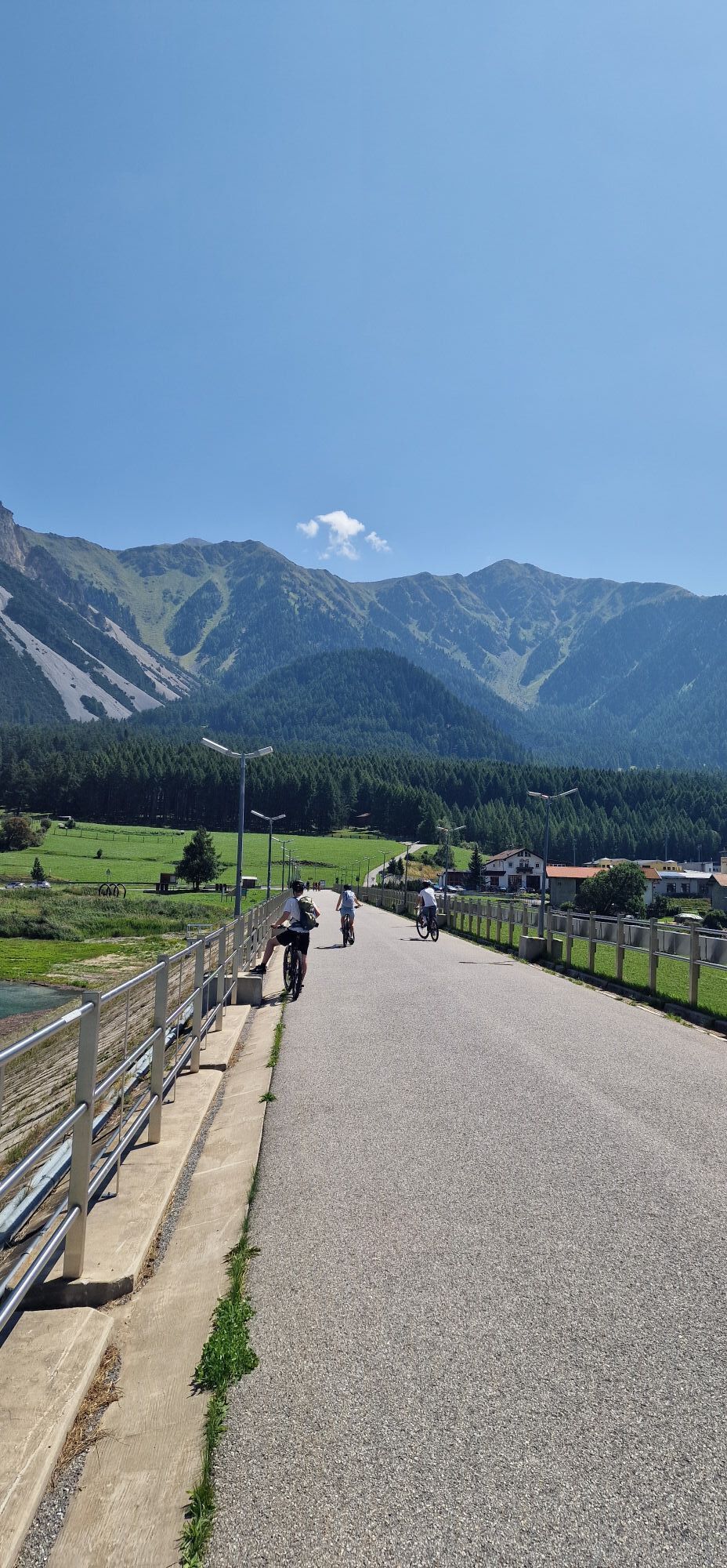
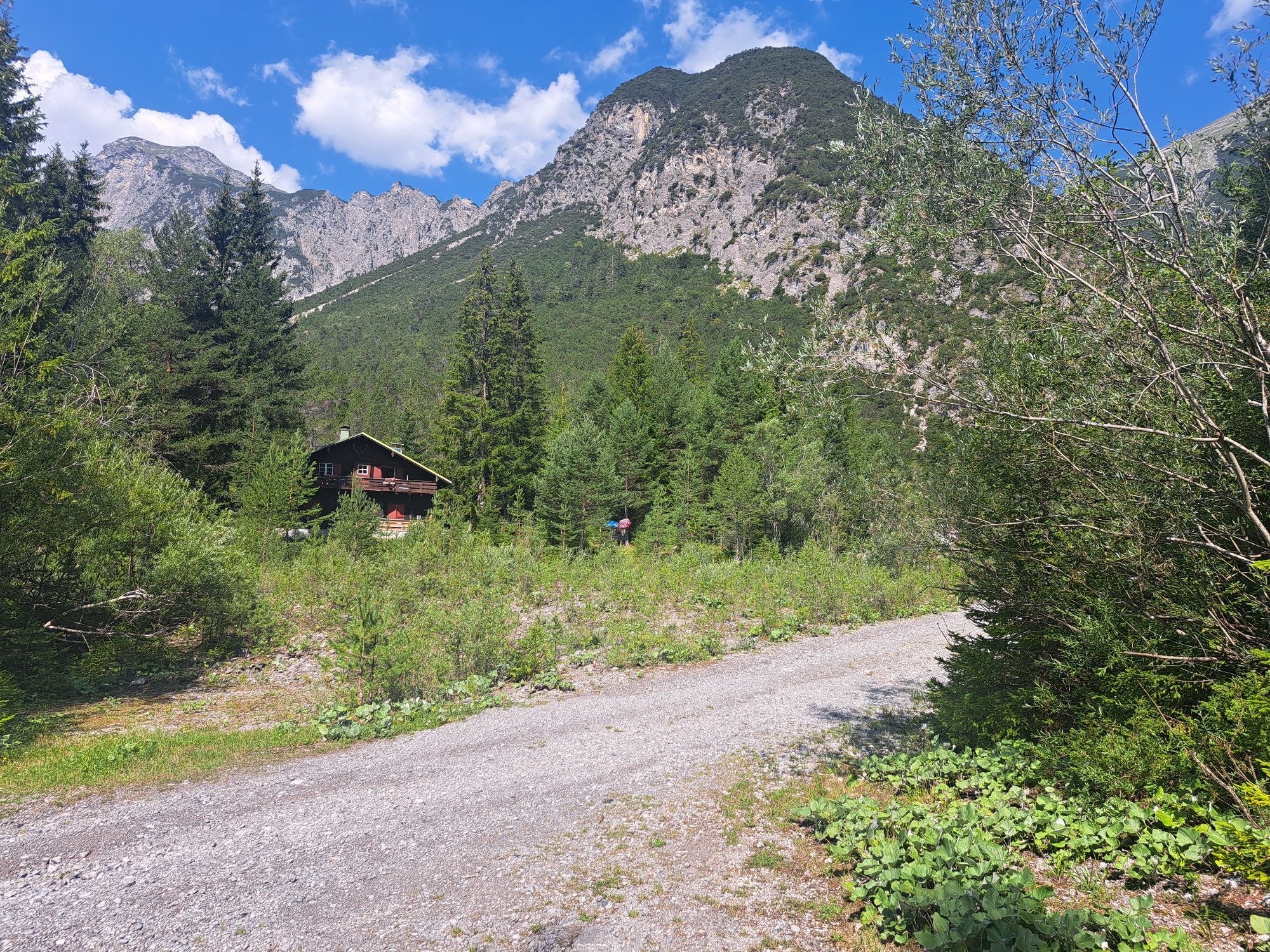
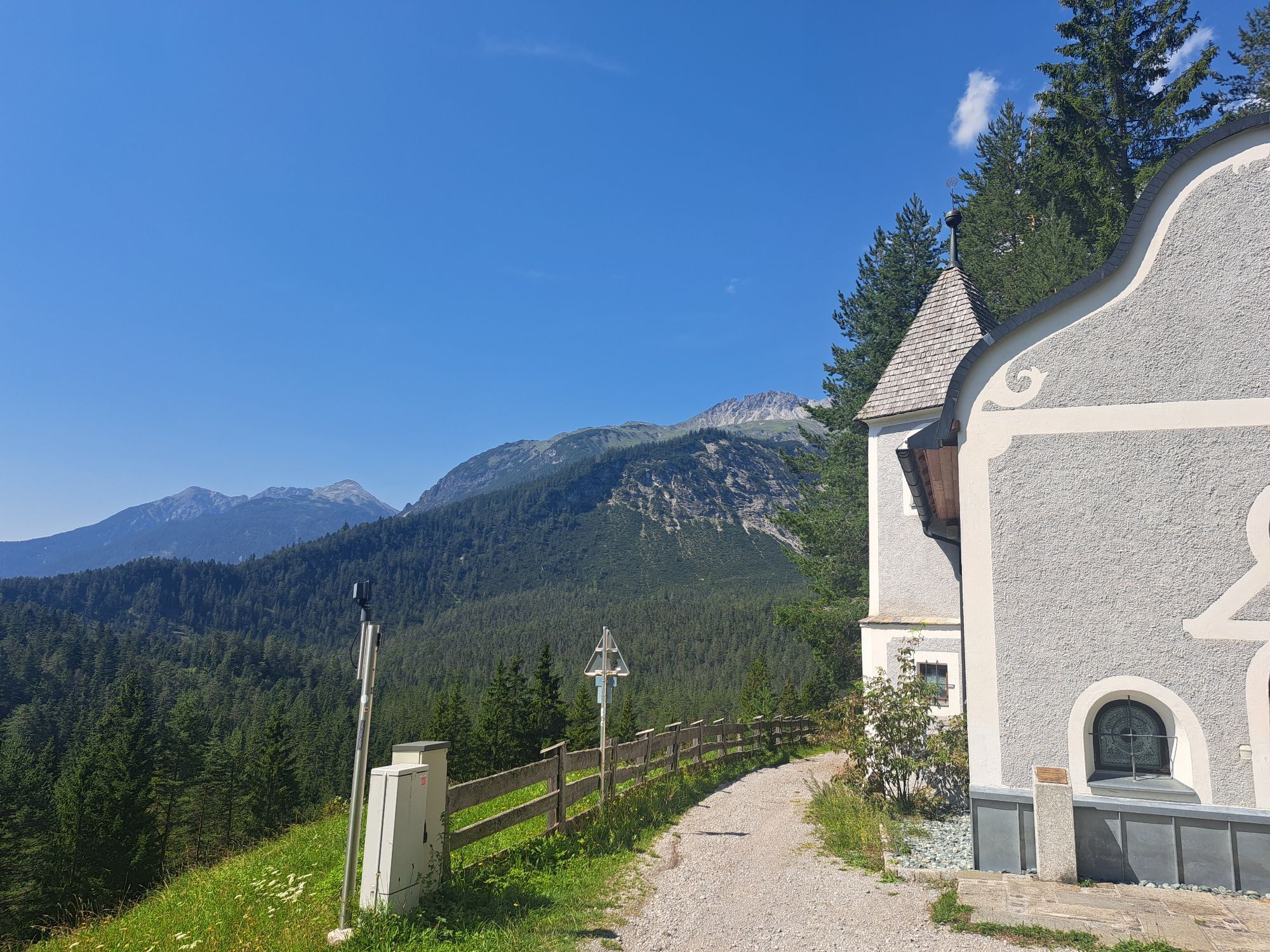
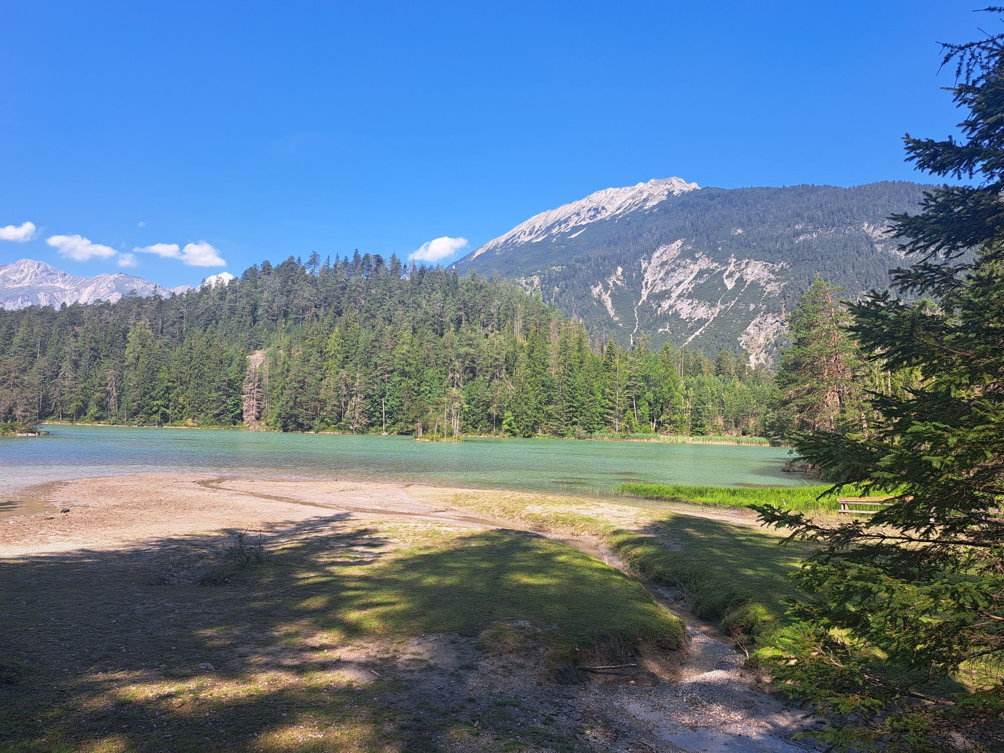
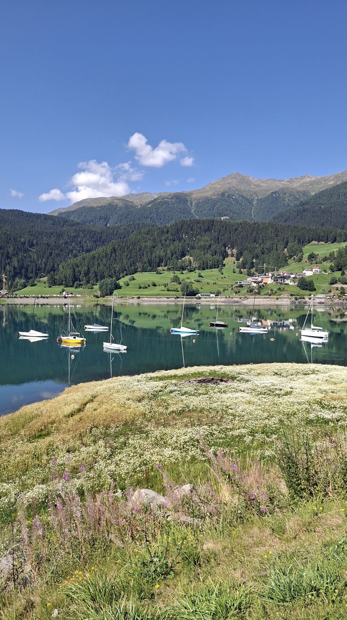
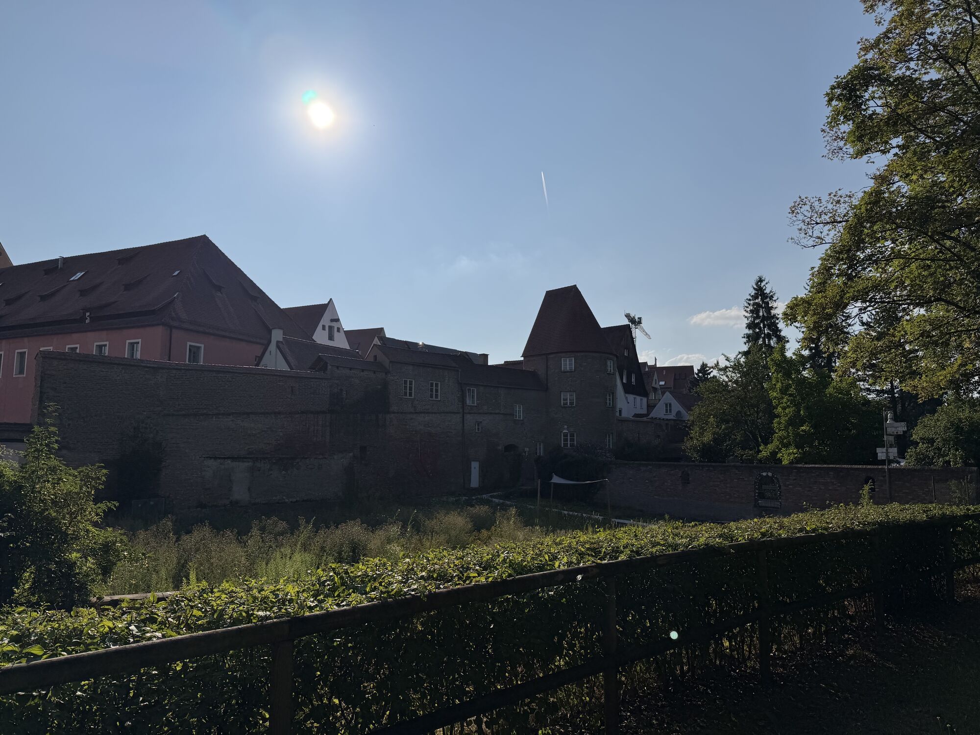
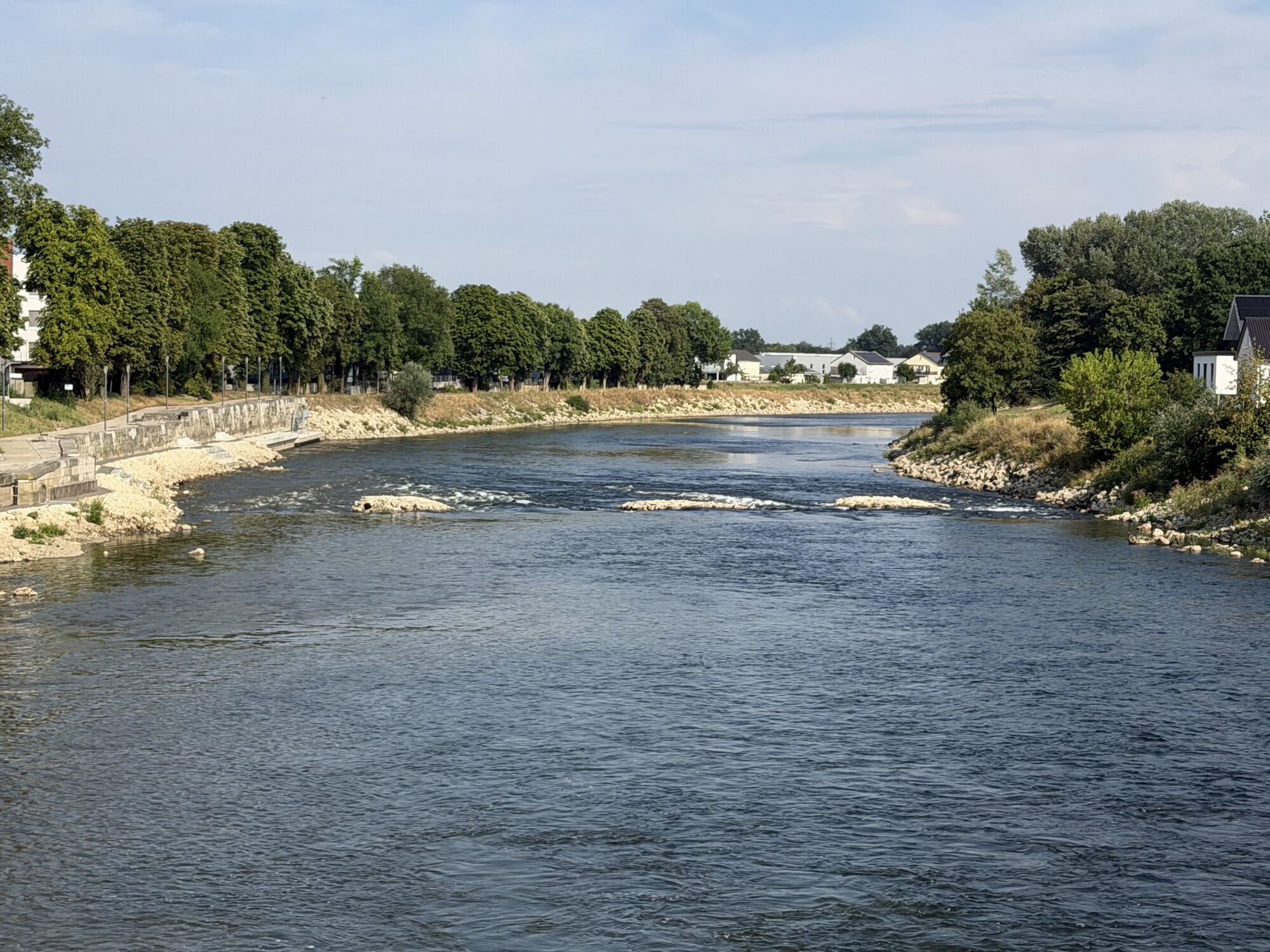
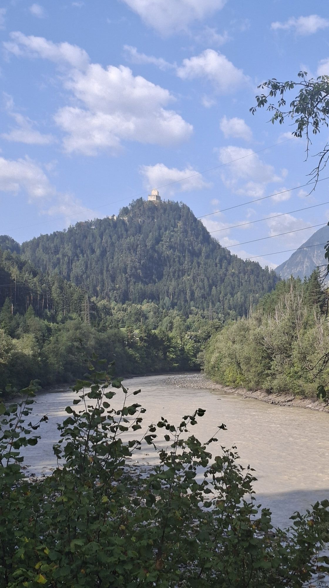
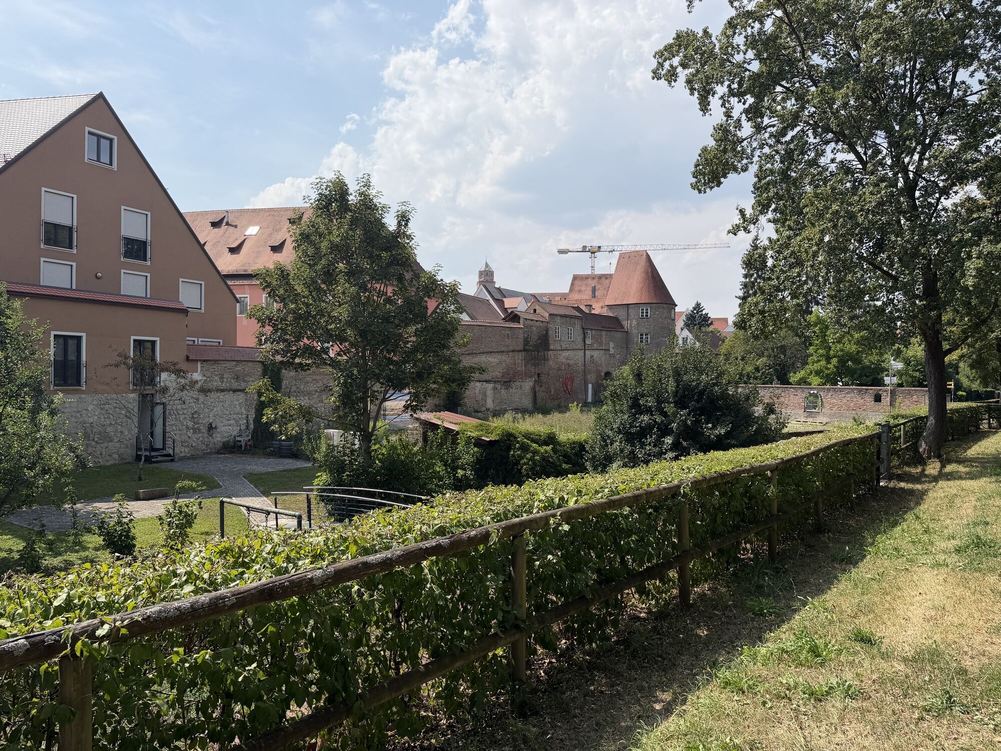
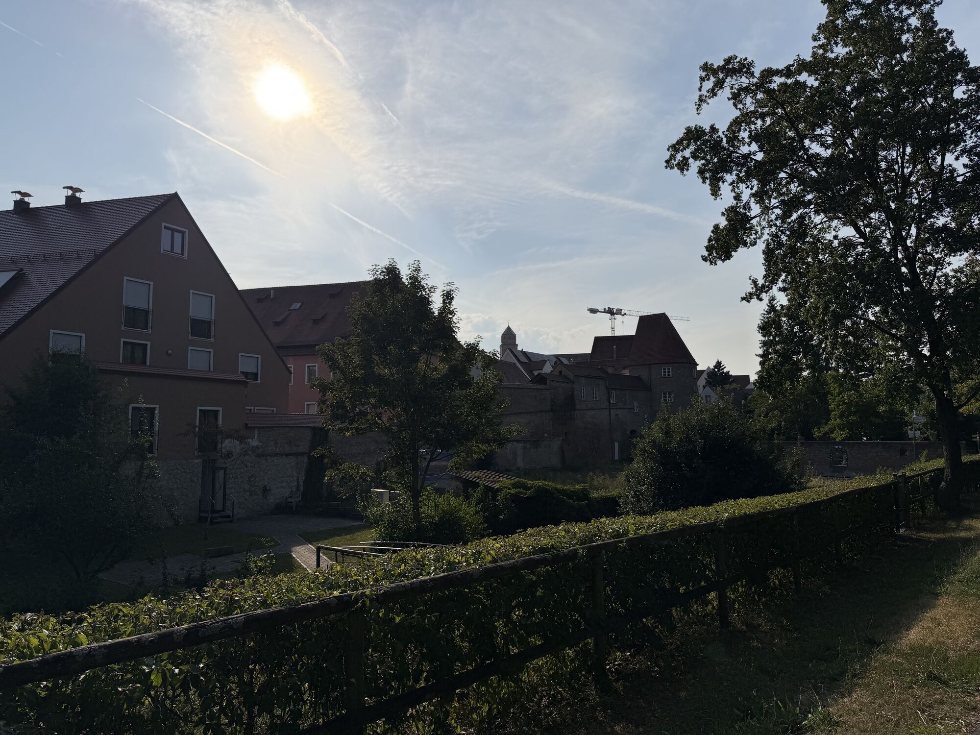
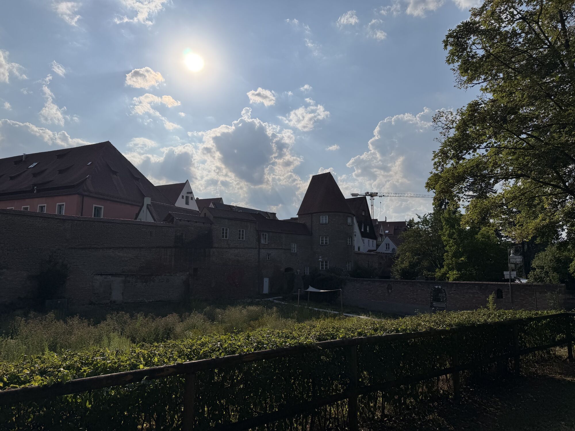

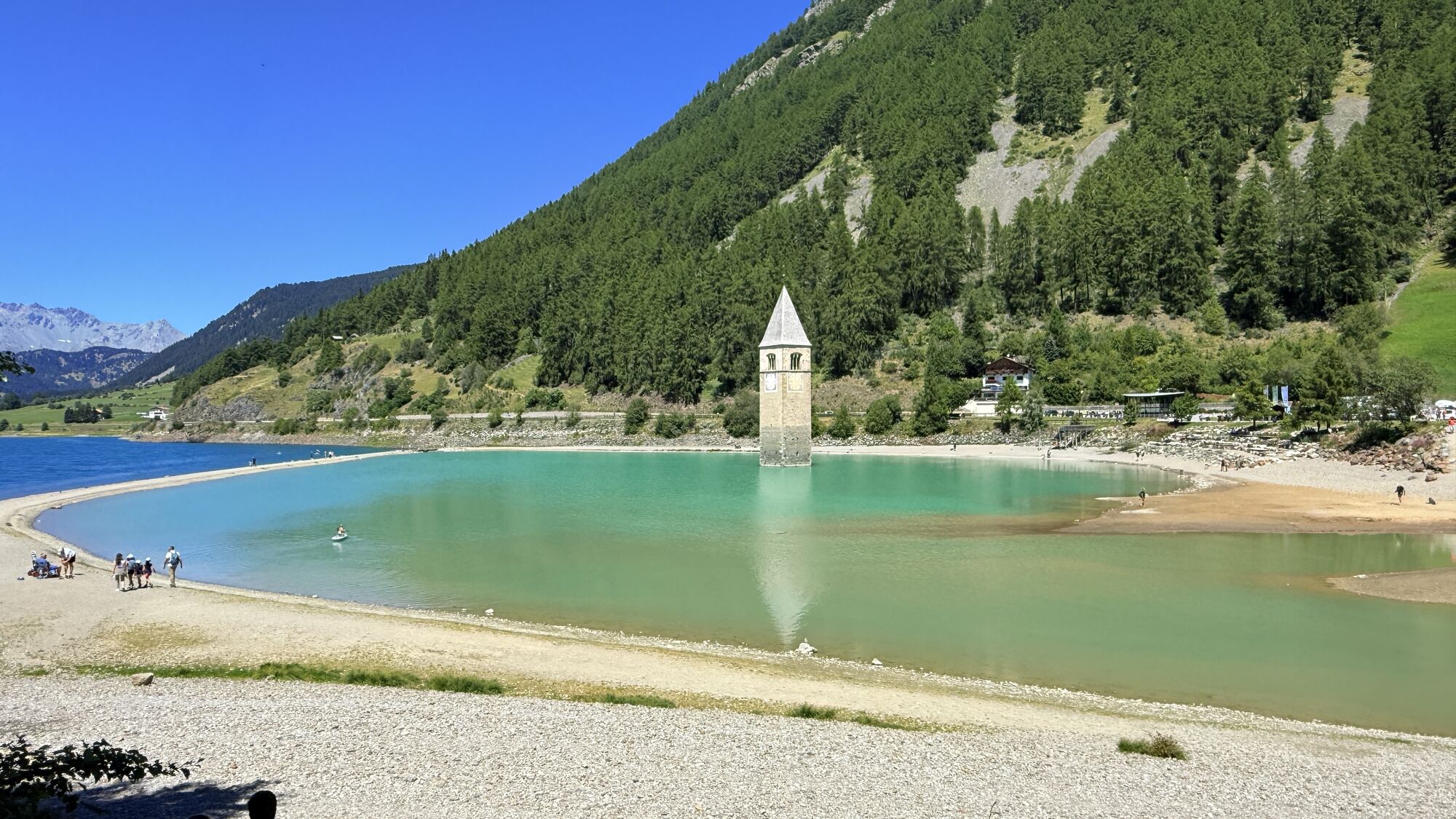
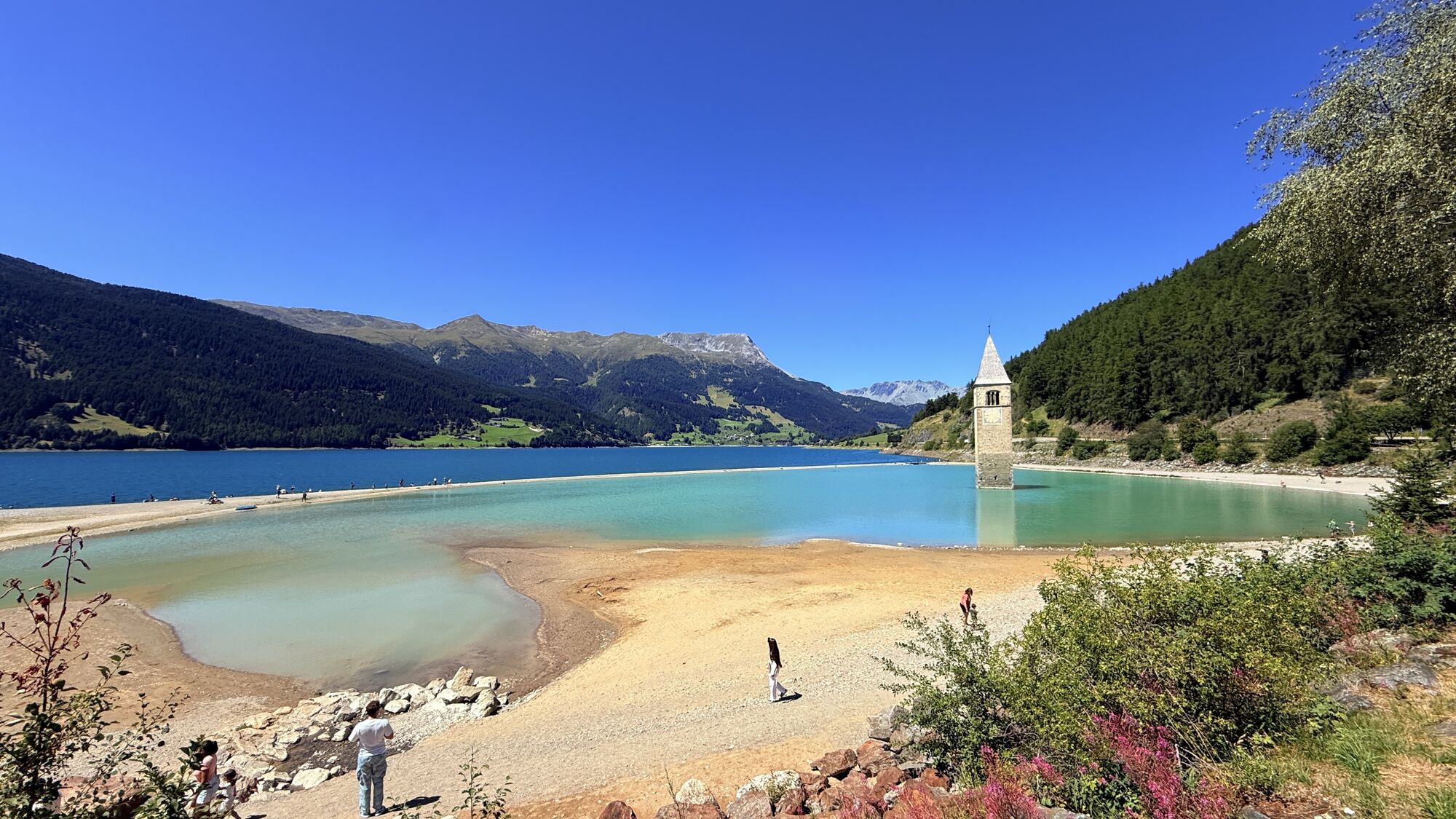
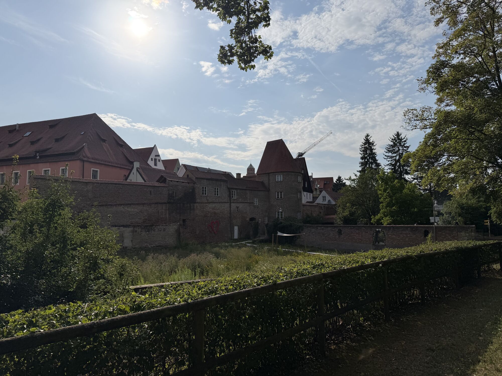
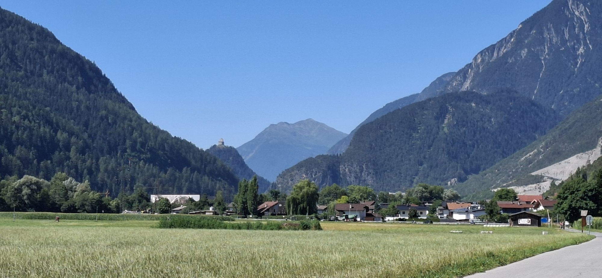
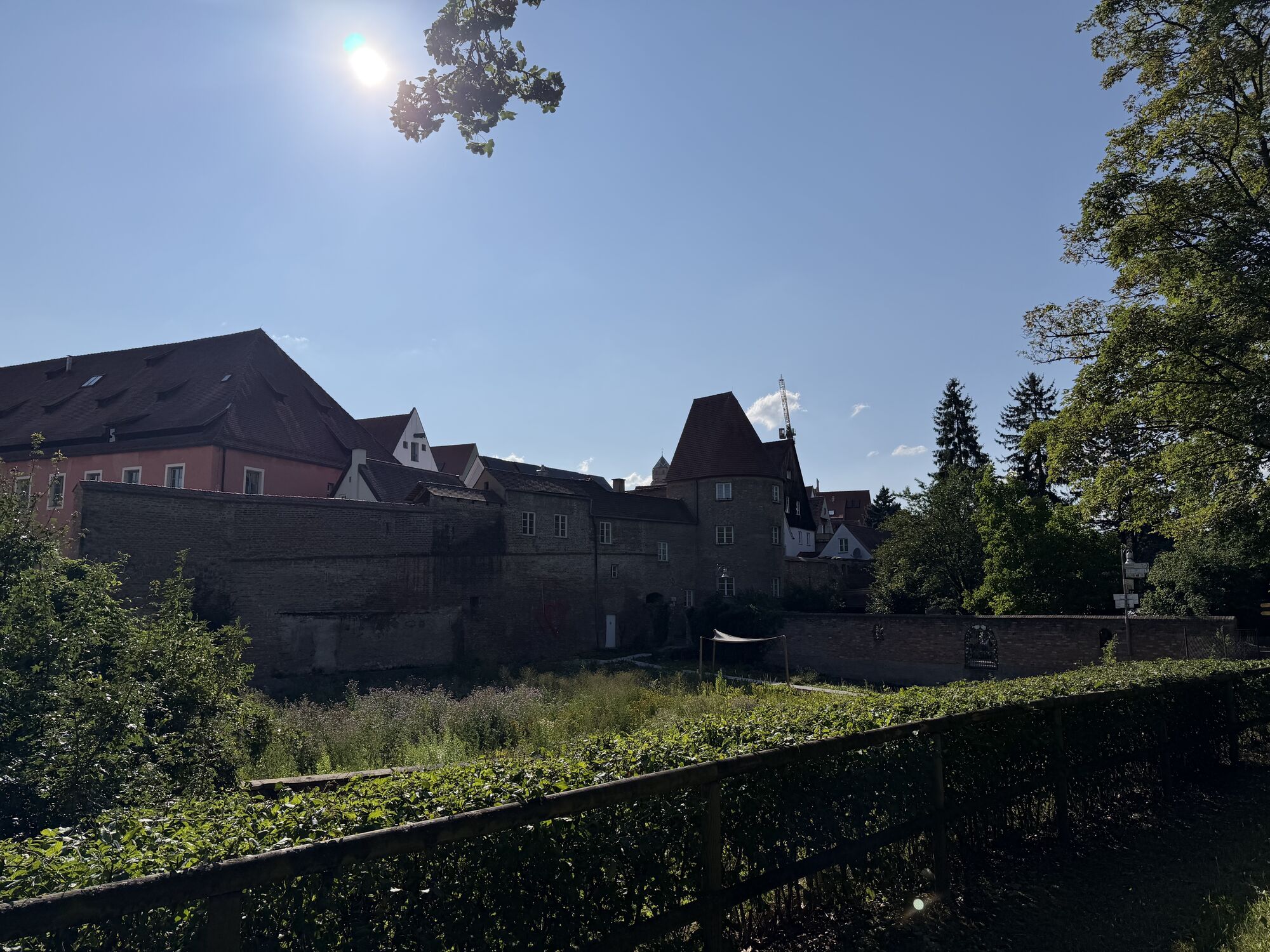
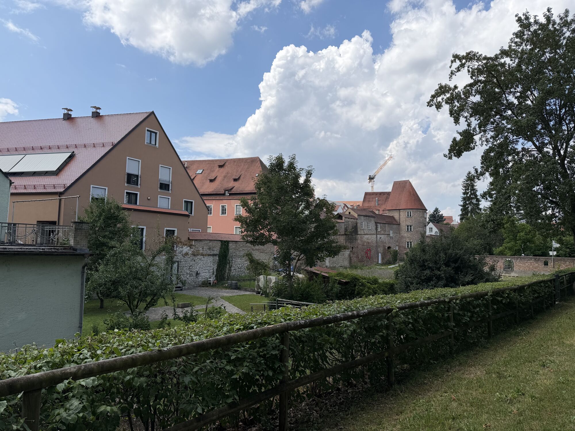
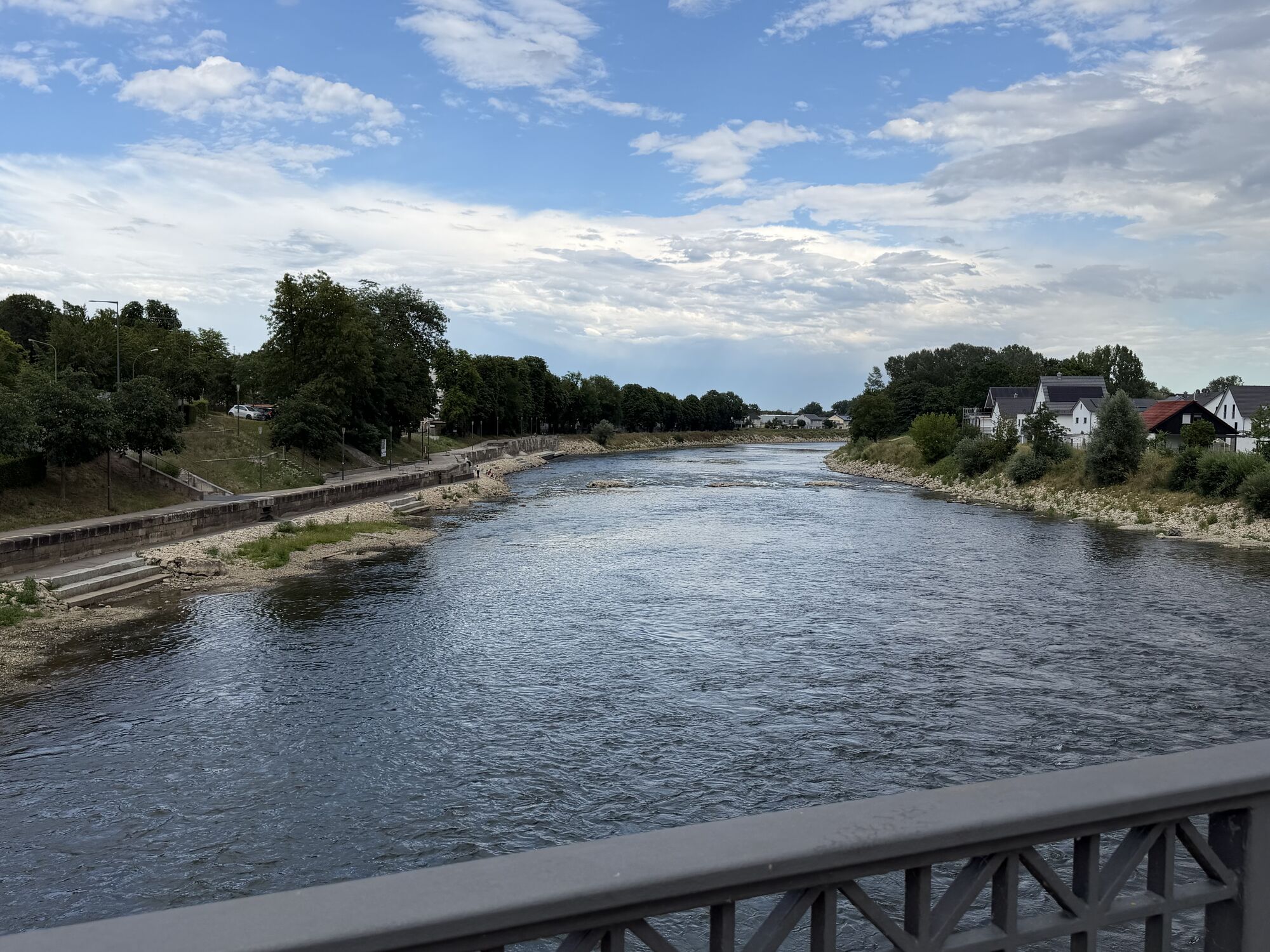
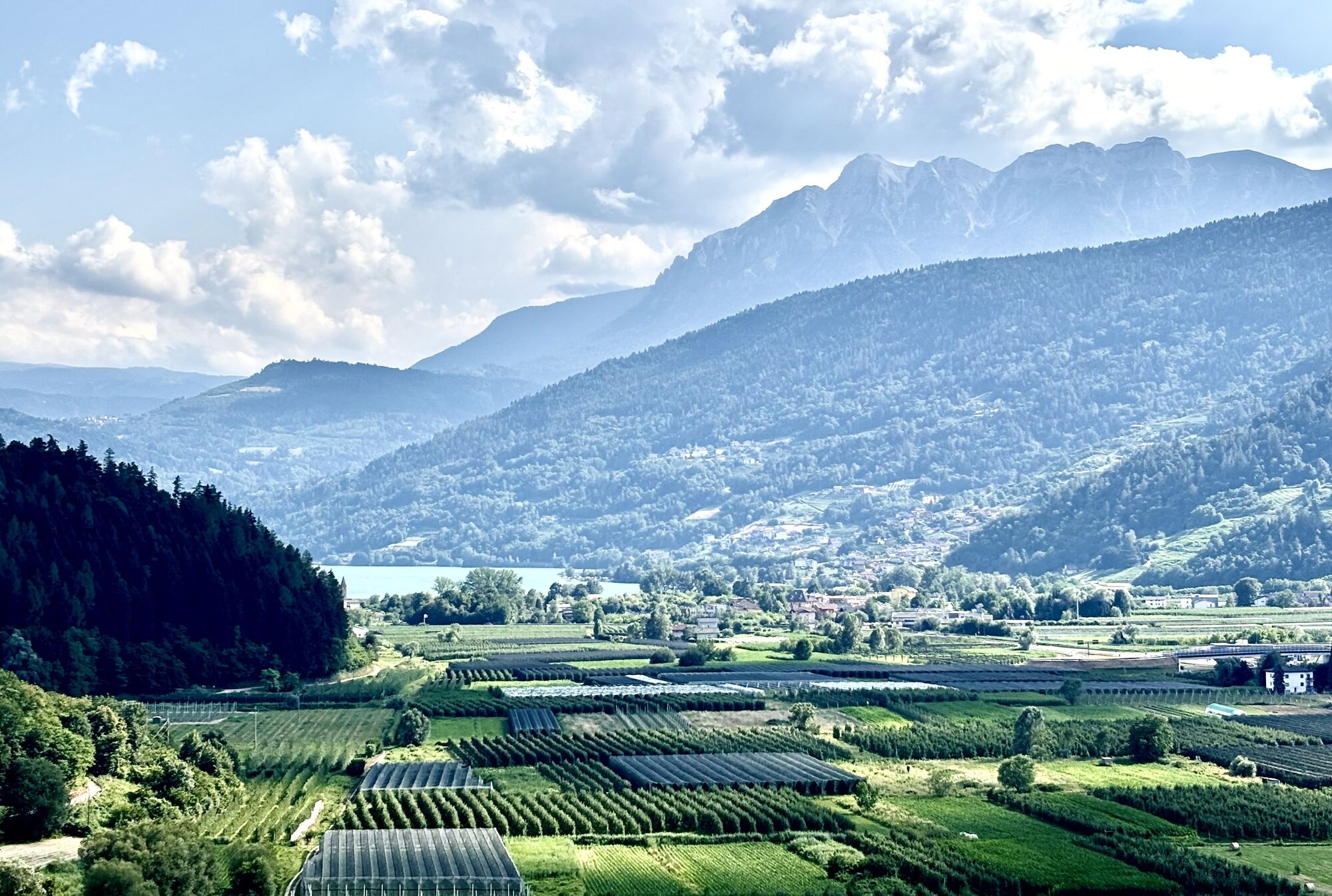
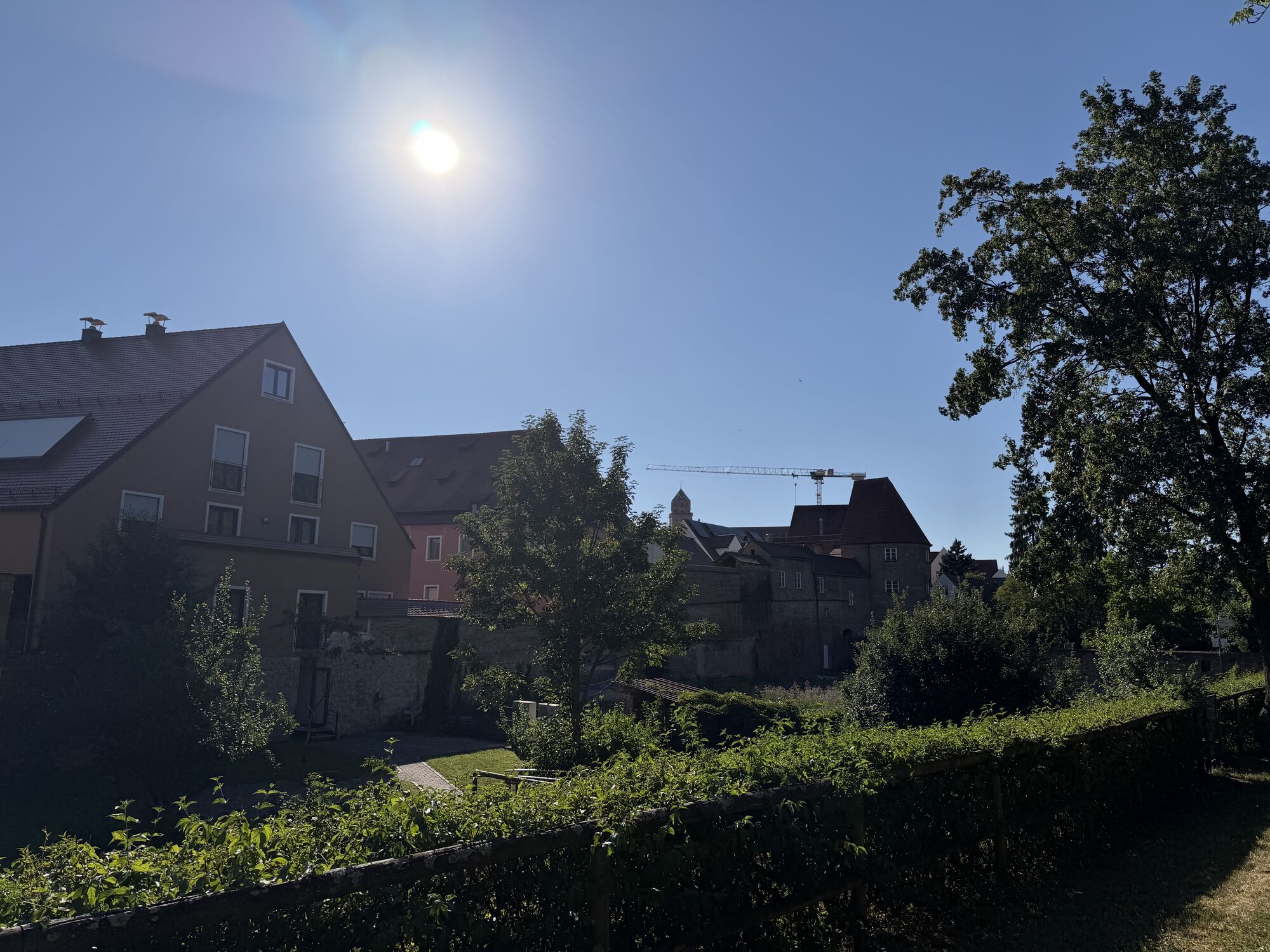
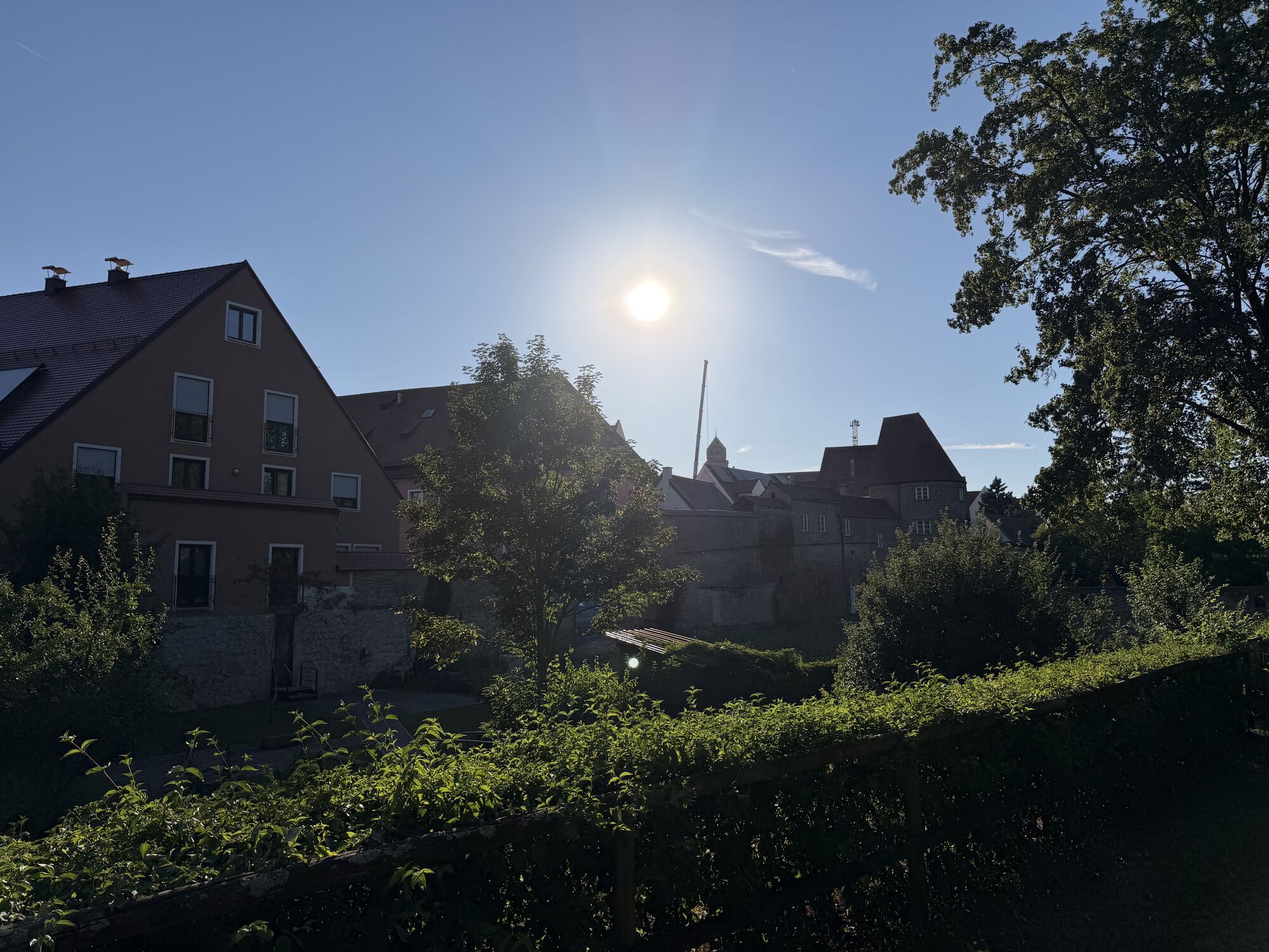
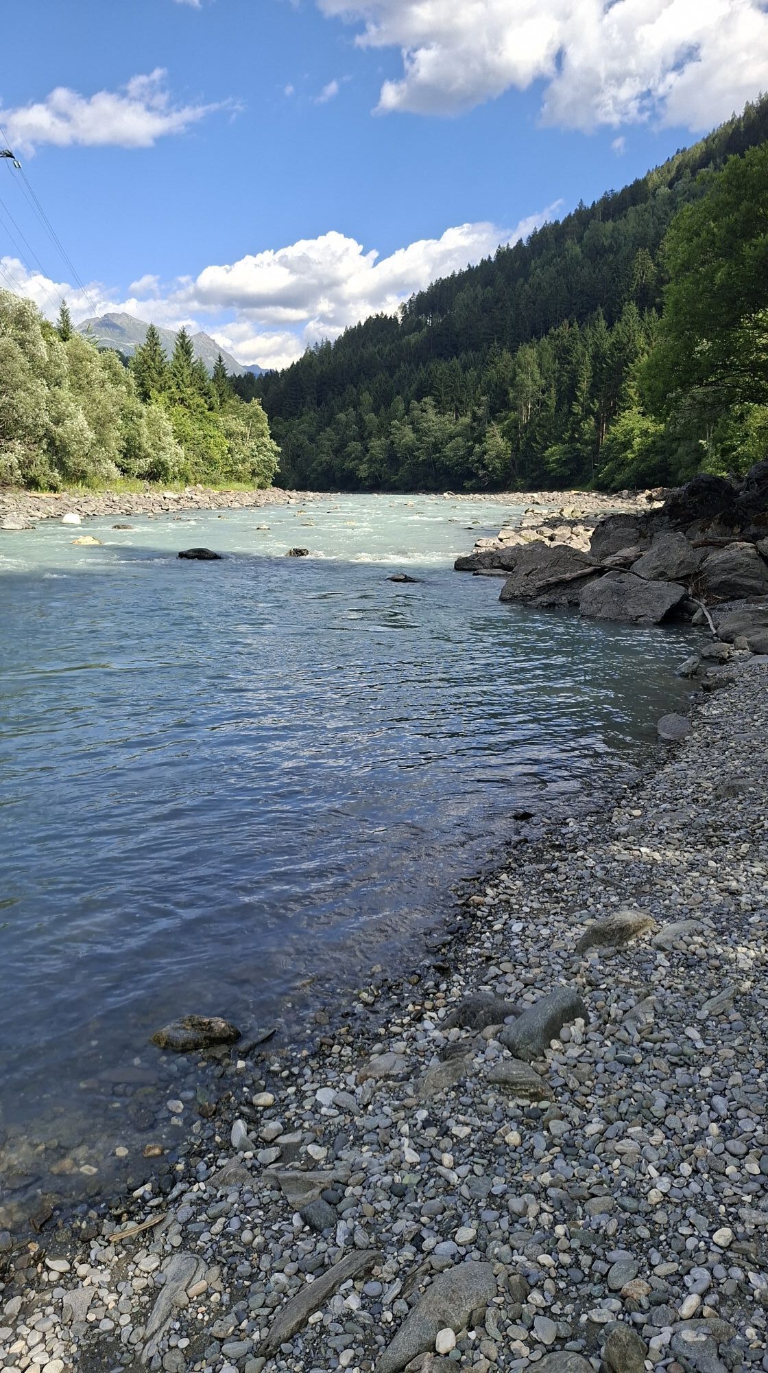
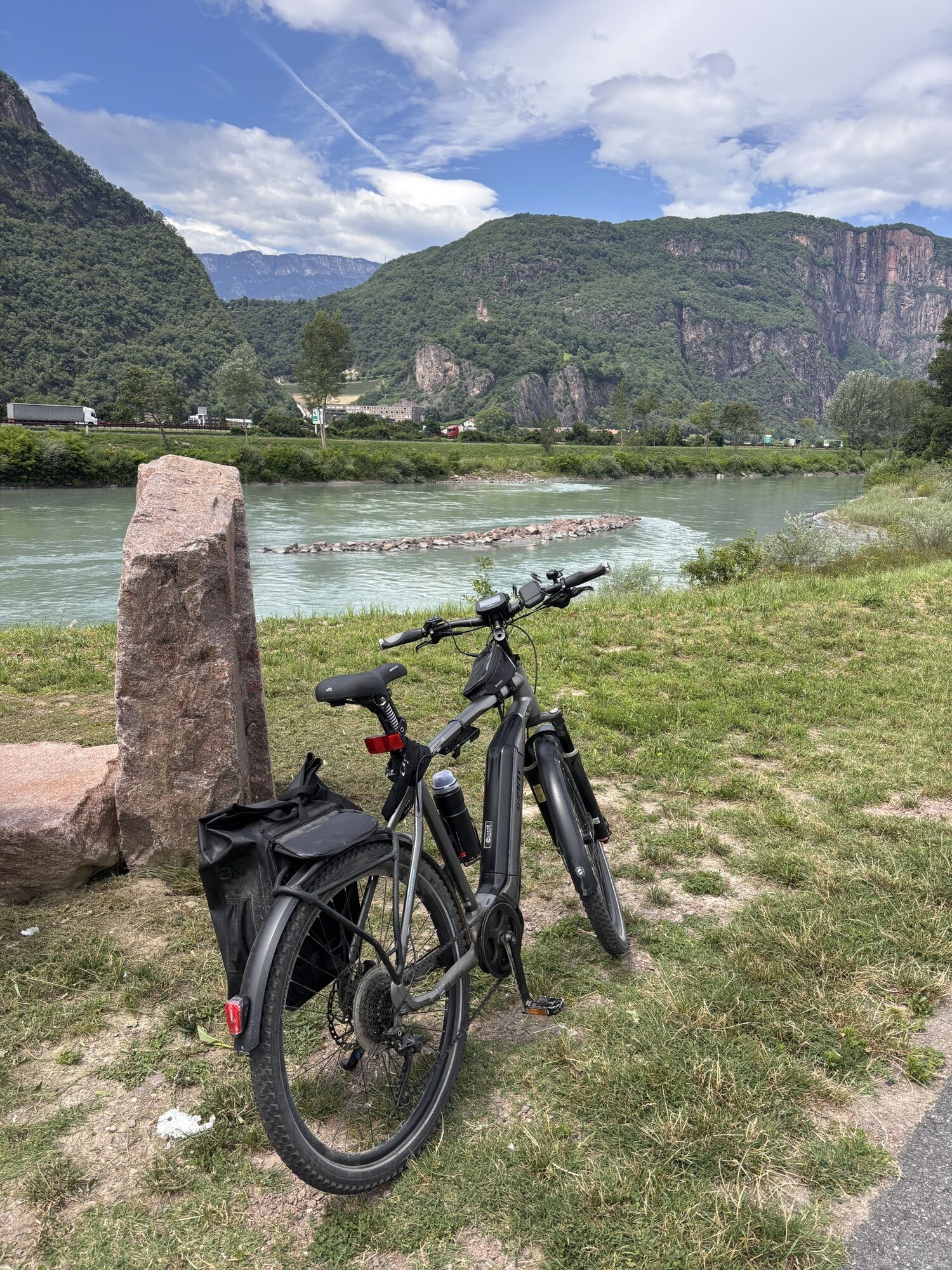
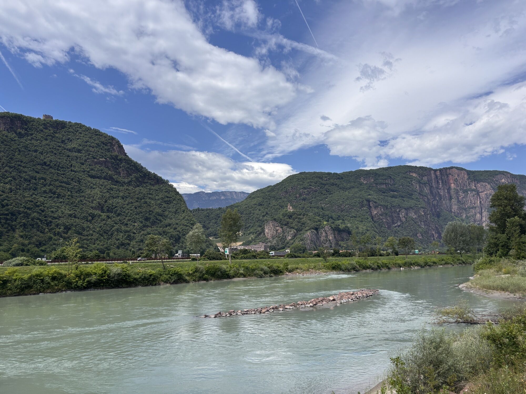
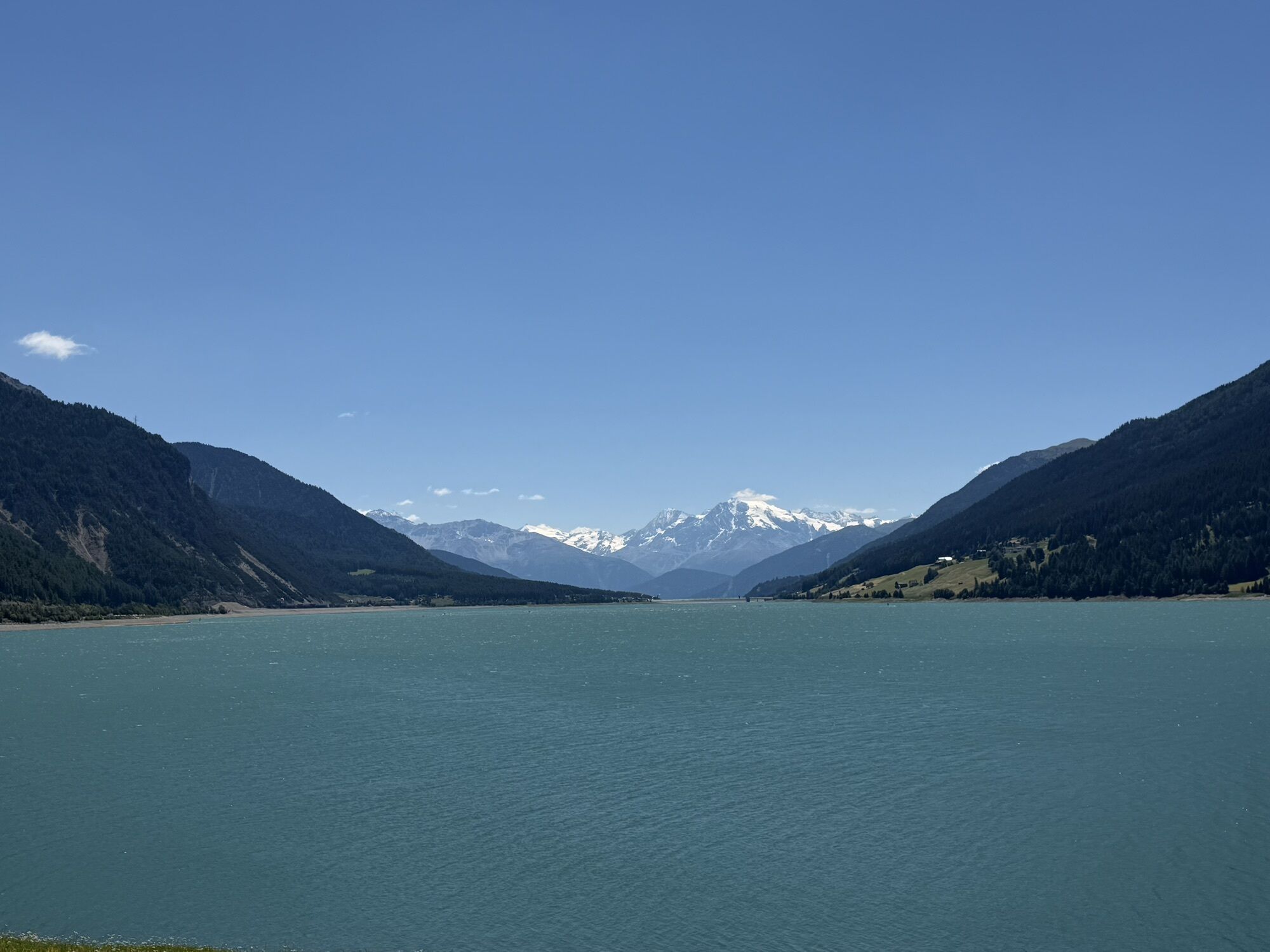
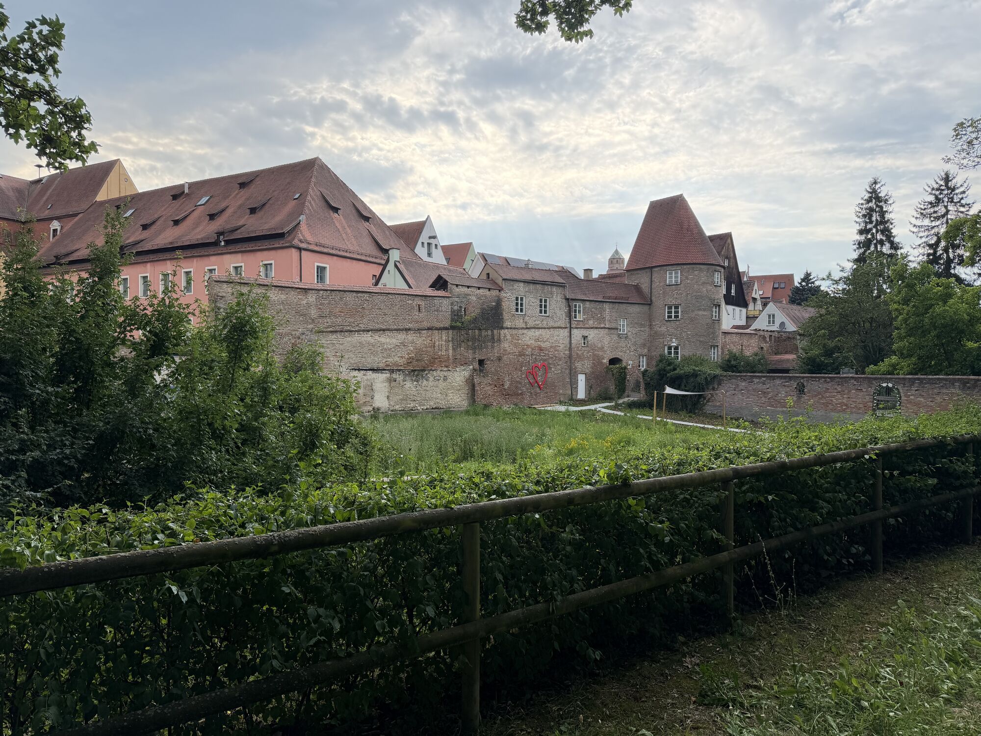
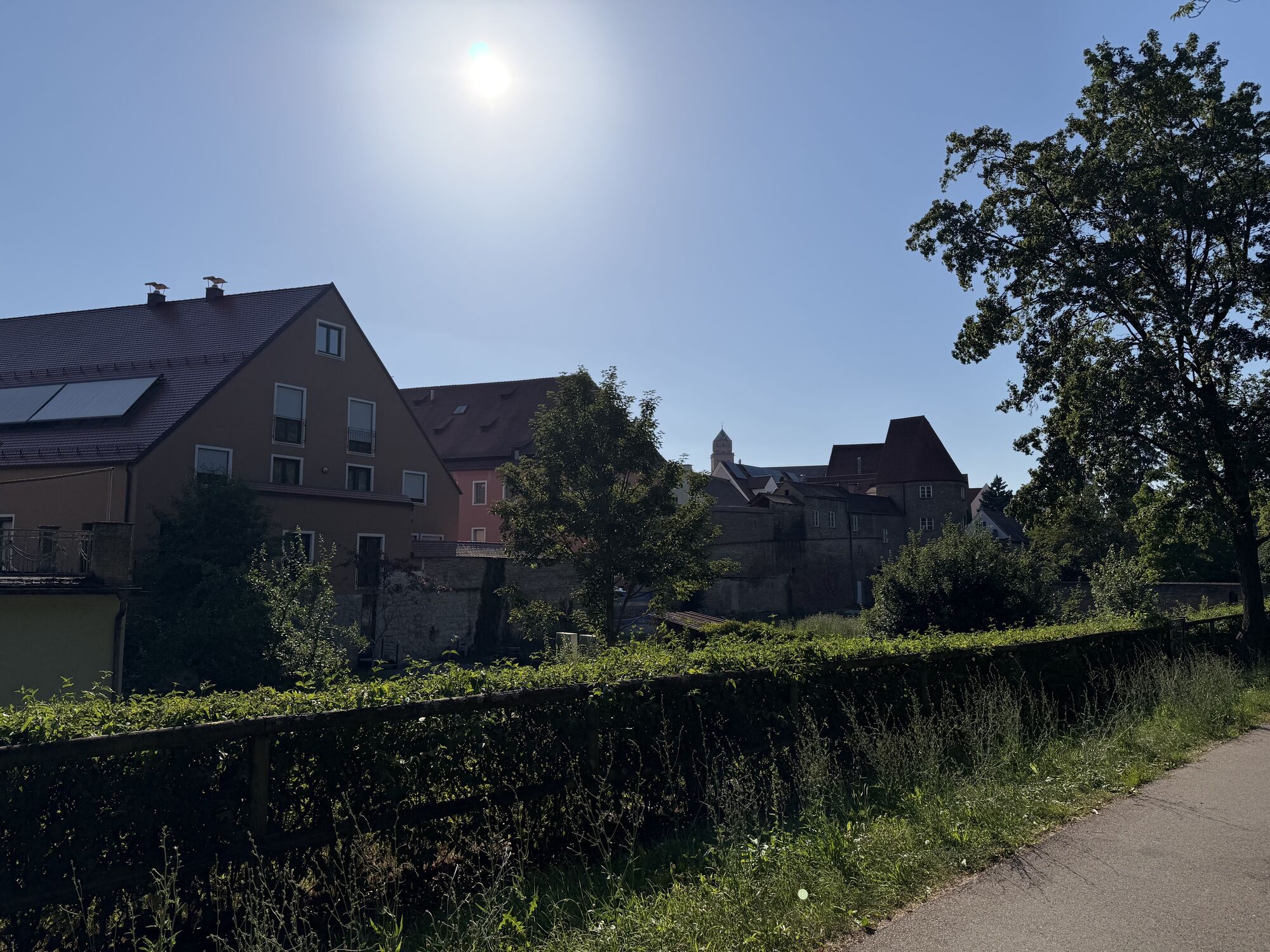
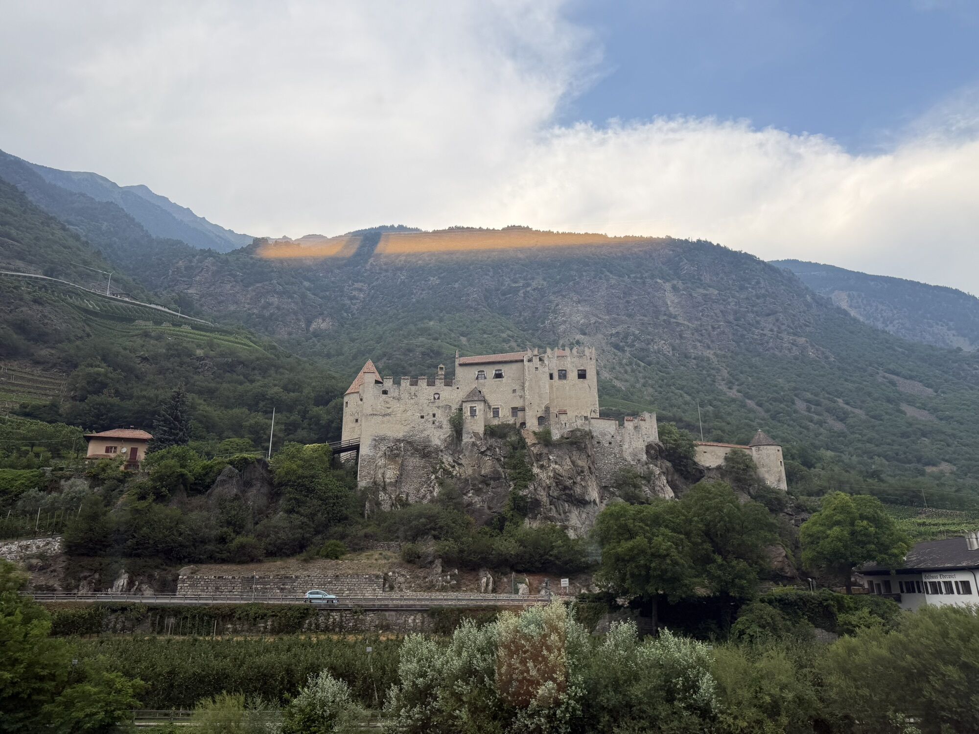
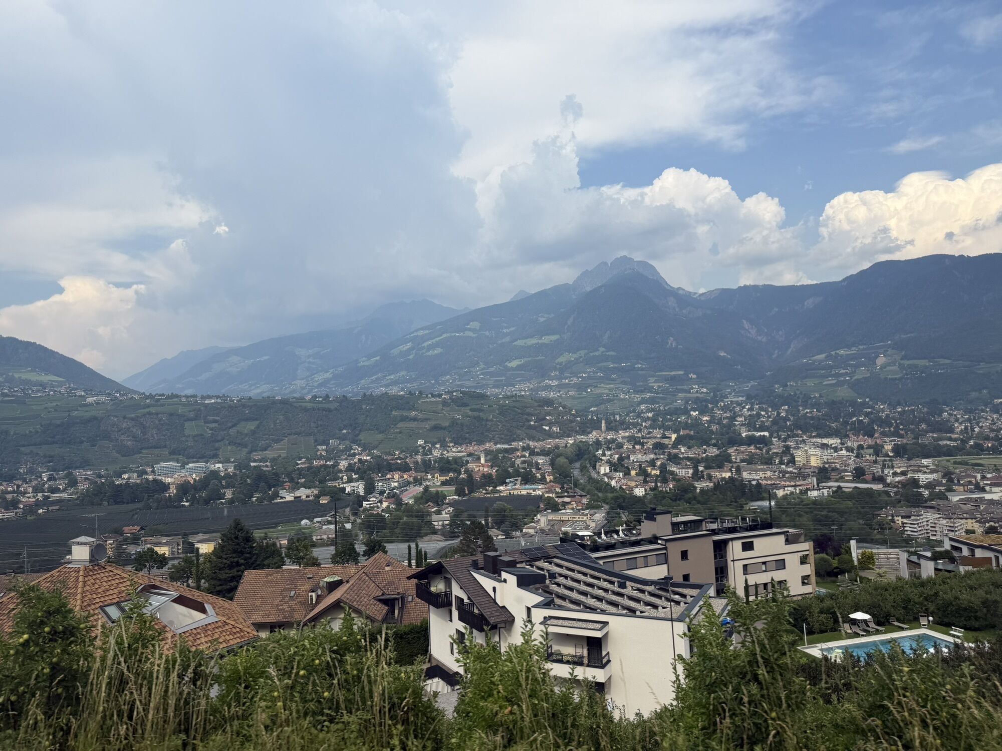
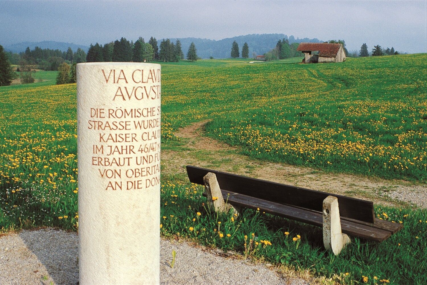
The Via Claudia Augusta began once upon a time in the port of Altinum near Venice and led across the Reschenpass, Landeck , Imst and the Fernpass and further along the Danube to Donauwörth .

Weginformationen
Wegverlauf
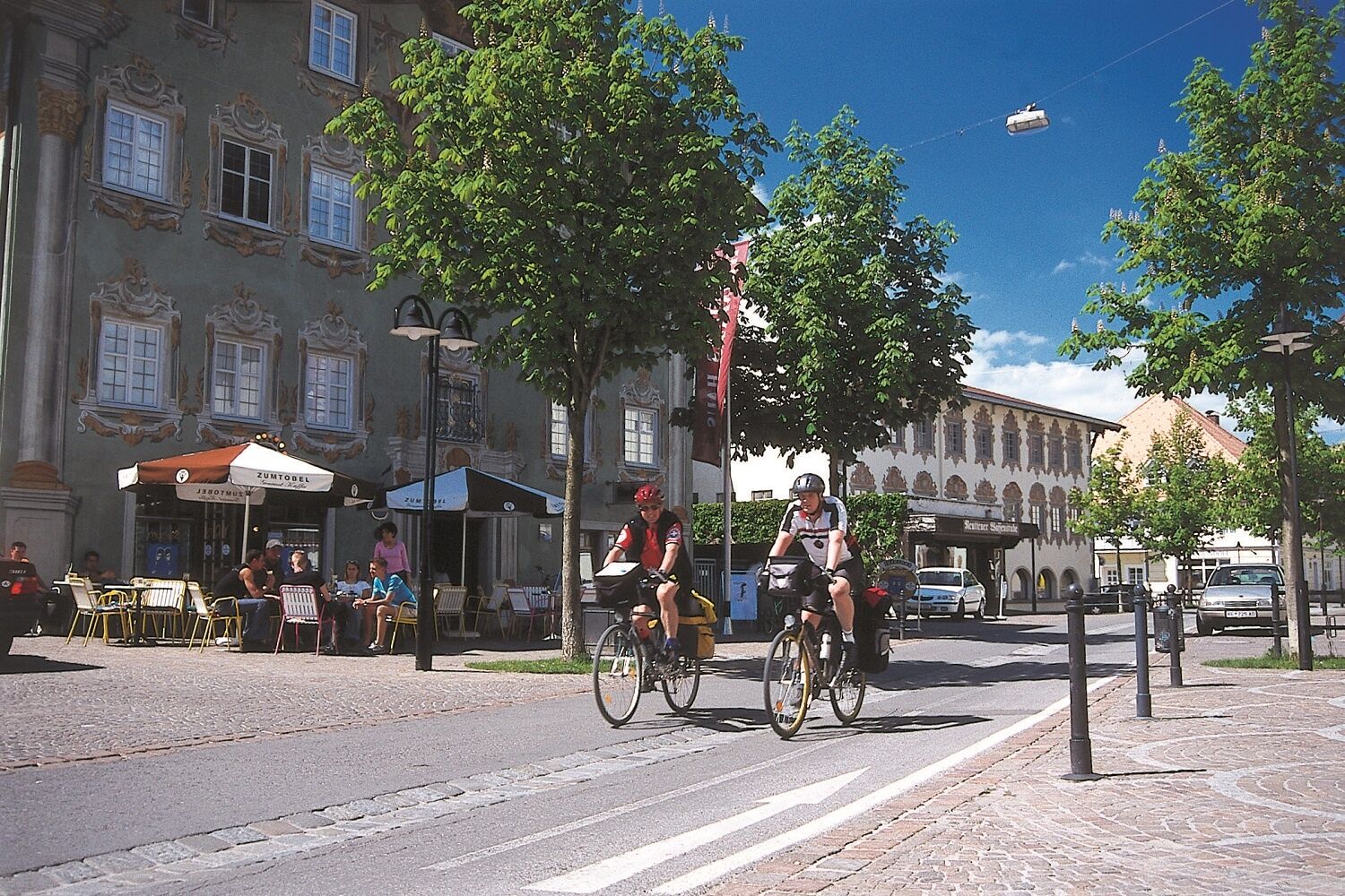
She was even after the Romans, one of the most important north-south connections. The resulting income opportunities, trade and encounters with travelers from many countries shaped the people along this route. Different regions and cultures meet each other here today and take a bike ride on this Roman trail.
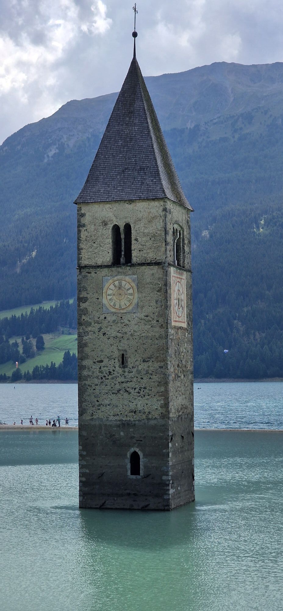
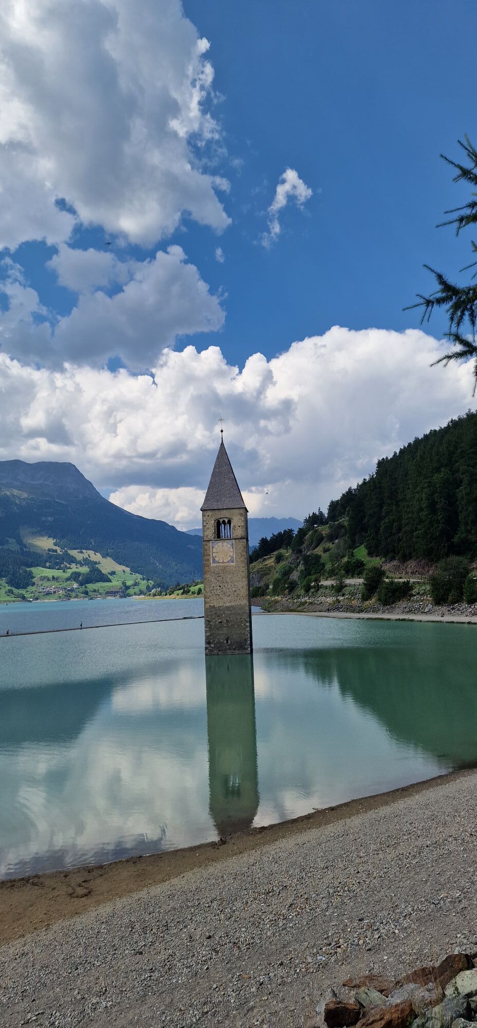
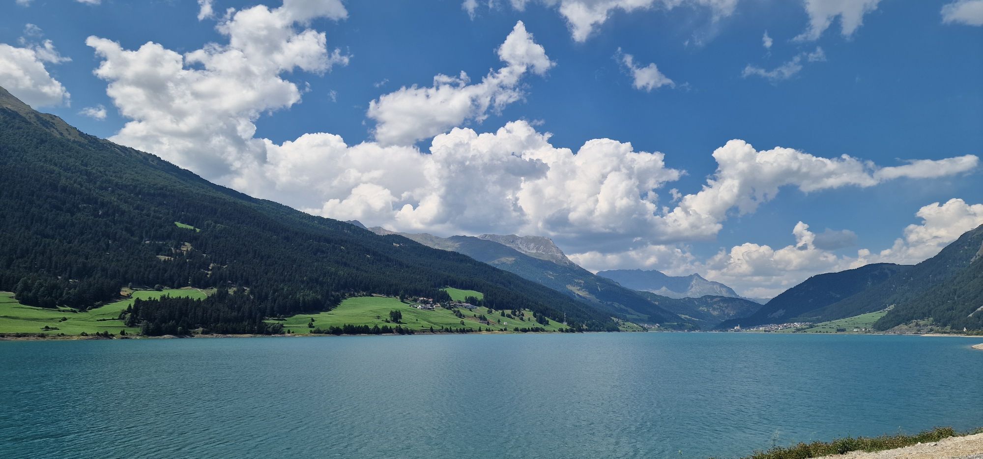
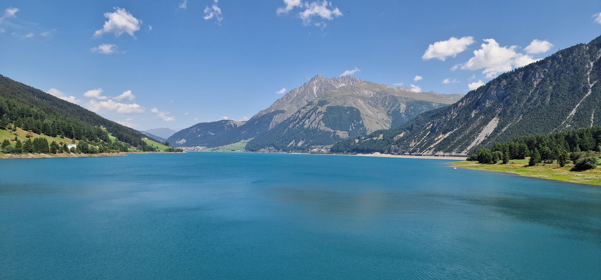
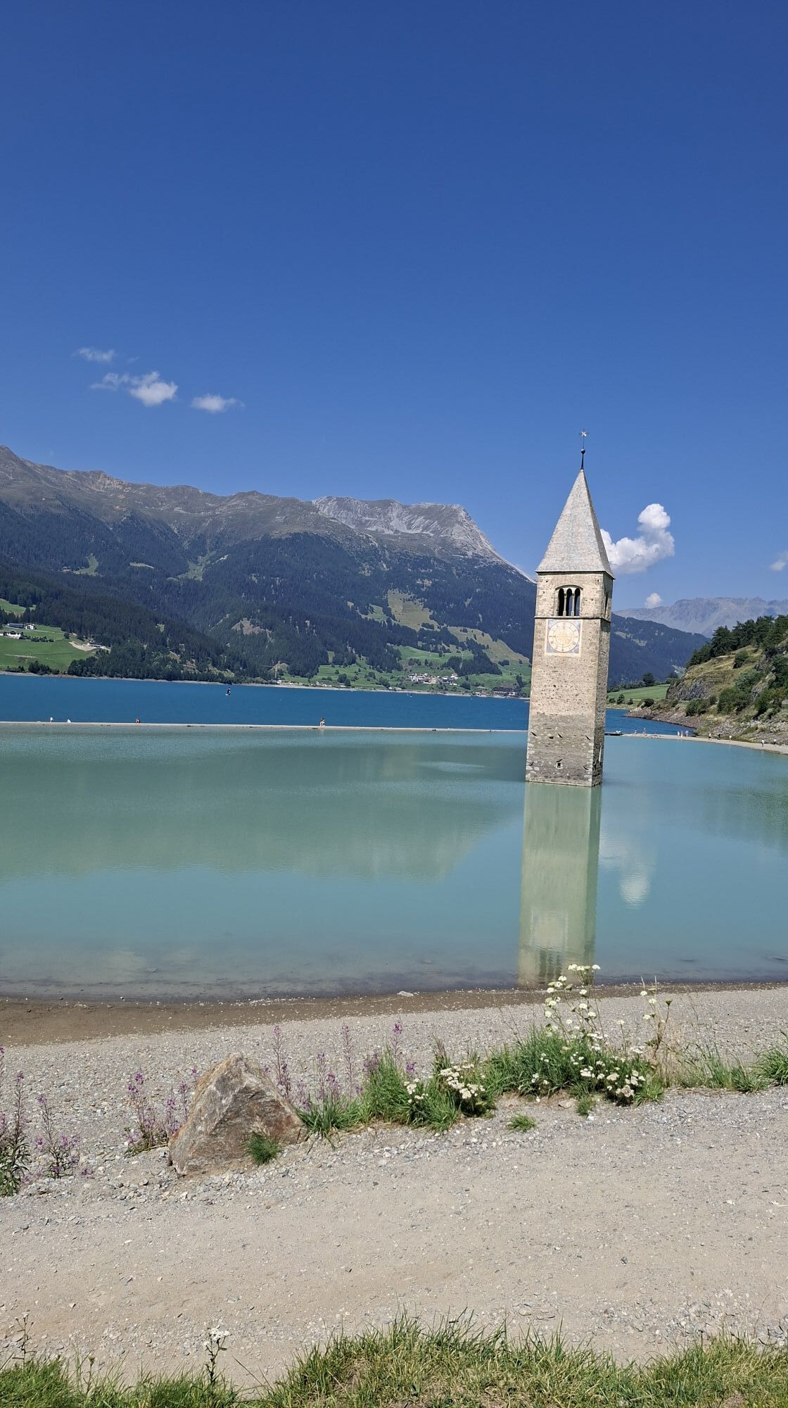
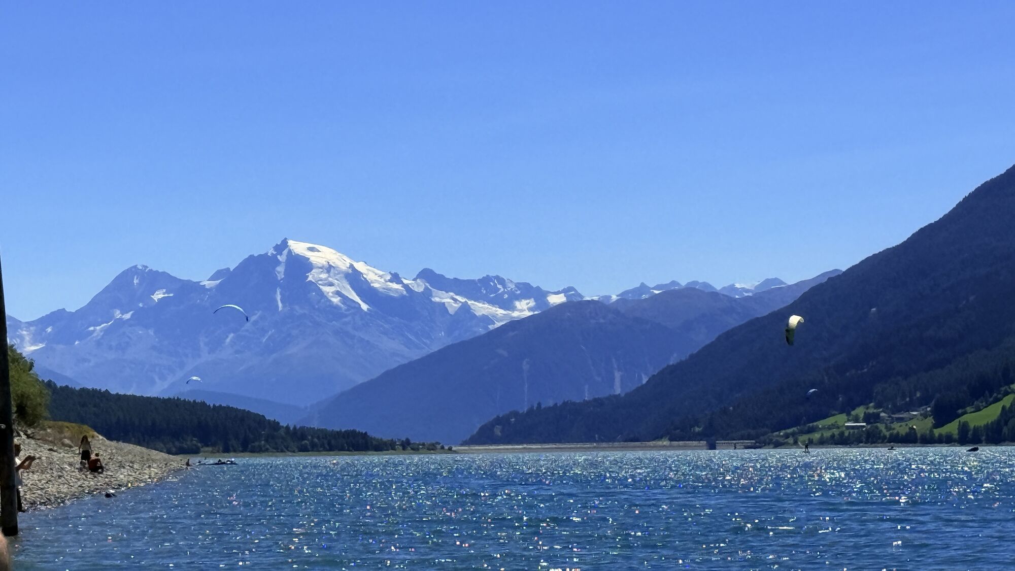
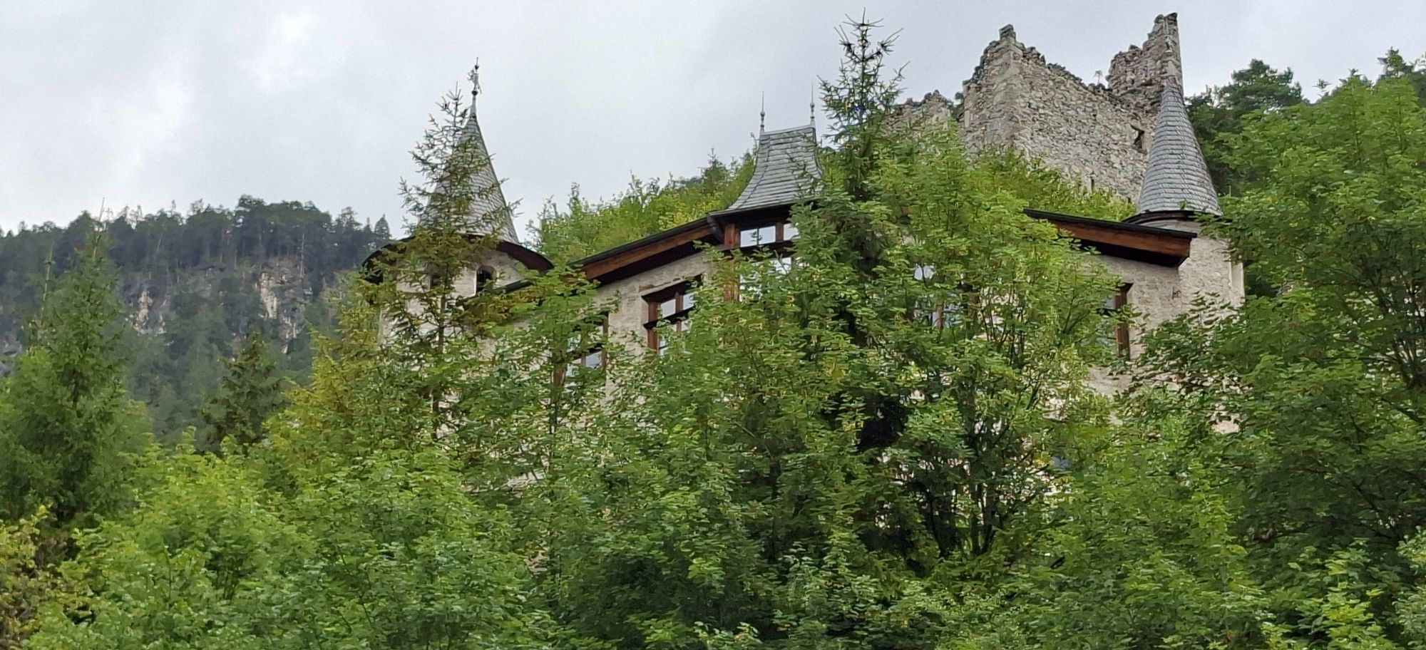
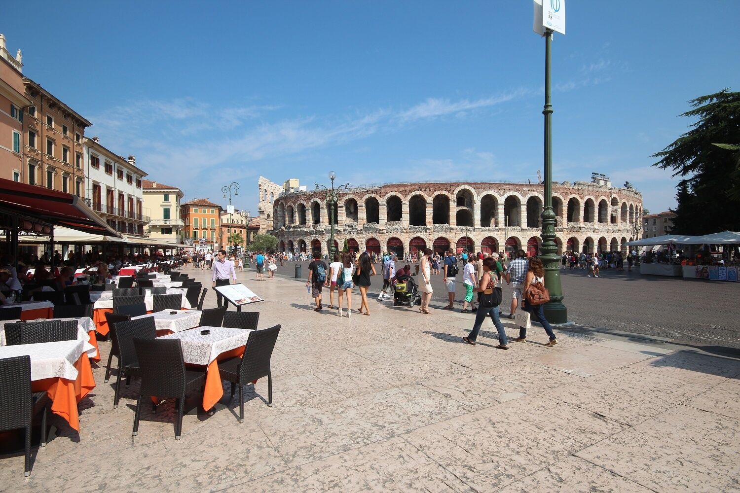
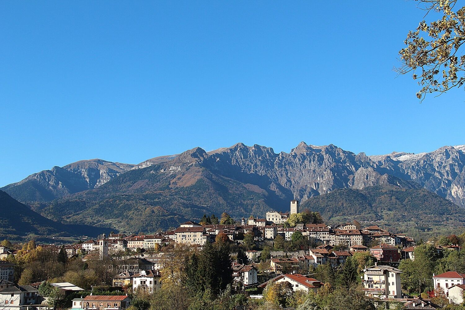
Numerous attractions are lined up togeteher, like glittering pearls on a chain: Starting with the scenic Danube Wörth at the starting point of the tour, with its Romanesque Augsburg and the romantic Neuschwanstein Castle. In the mountains, at the entrance to Tirol, in Reutte, the European Ehrenberg Castle and the picturesque Fern Pass await us. In the wild, romantic valleys follow the House of Fasnacht in Imst, the Tyrolean waterworld in Zams and the Archaeological Museum Fliess, ... before the route goes up onto the Finstermünz and to the Reschenpass. Over this centuries old pass road, the path continues on to South Tyrol, past the idyllic Reschensee and onto the south side of the Alps down to Merano and Bolzano. From the historic city of Trento you finally go either to the former Roman port in Altino near Venice (varied, but with a few hills, for which there will be hopefully soon a shuttle) or Ostiglia on the Po .. A bike ride on a route which the Romans once visited.
Numerous attractions are lined up togeteher, like glittering pearls on a chain: Starting with the scenic Danube Wörth at the starting point of the tour, with its Romanesque Augsburg and the romantic Neuschwanstein Castle. In the mountains, at the entrance to Tirol, in Reutte, the European Ehrenberg Castle and the picturesque Fern Pass await us. In the wild, romantic valleys follow the House of Fasnacht in Imst, the Tyrolean waterworld in Zams and the Archaeological Museum Fliess, ... before the route goes up onto the Finstermünz and to the Reschenpass. Over this centuries old pass road, the path continues on to South Tyrol, past the idyllic Reschensee and onto the south side of the Alps down to Merano and Bolzano. From the historic city of Trento you finally go either to the former Roman port in Altino near Venice (varied, but with a few hills, for which there will be hopefully soon a shuttle) or Ostiglia on the Po .. A bike ride on a route which the Romans once visited.
Sicherheitshinweise
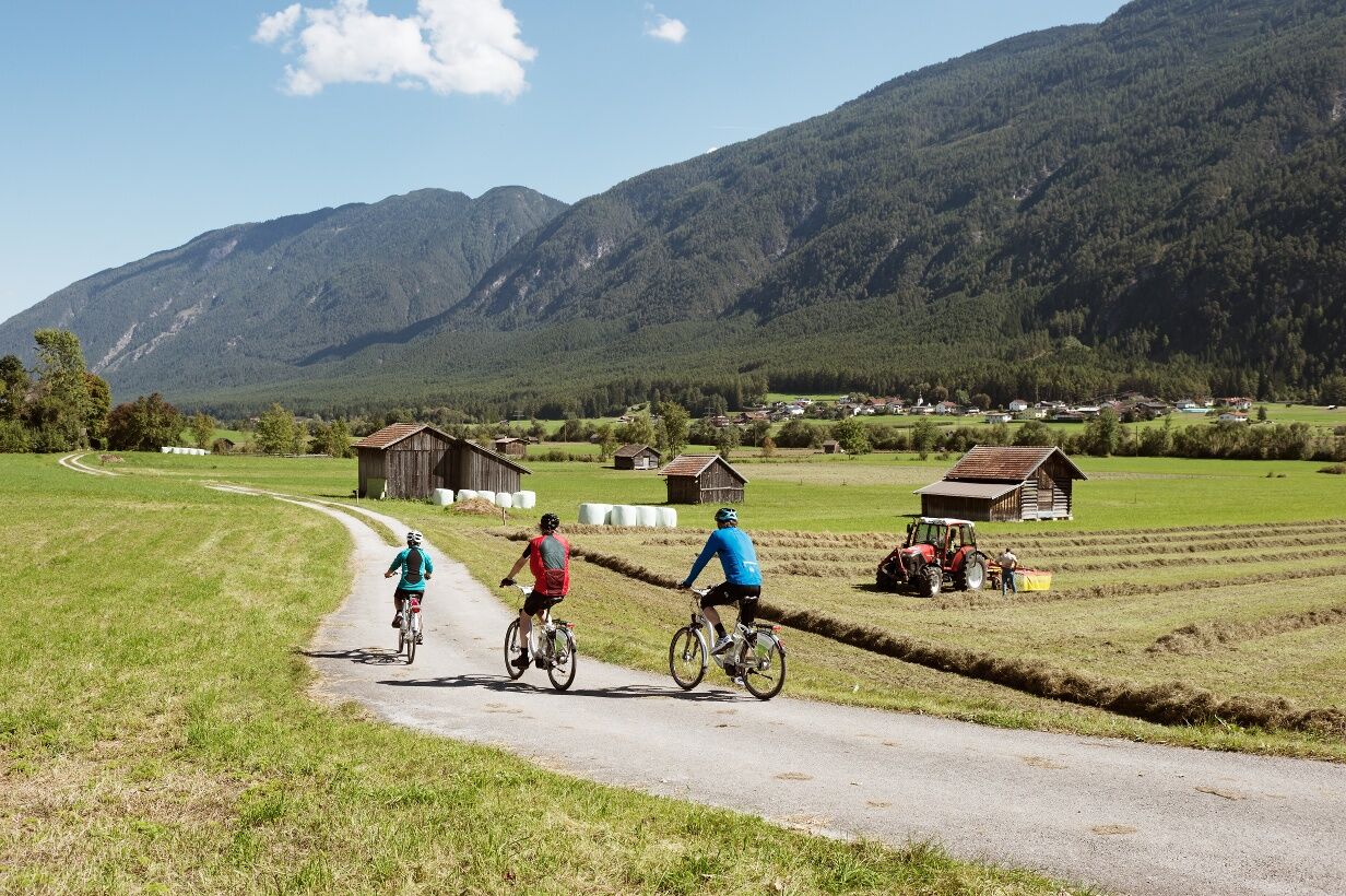
Route: on asphalt or gravel bike paths and quiet side streets. From the Danube to Schongau quite flat, through Allgäu gently undulating. In Tyrol - with slight inclines and descents - through Zwischentoren, the Gurgl- and the Inntal. From the Reschenpass to Trento largely downhill. After Antino by Venice there's still a small hill and 3 passes, but much more varied and interesting . After Verona or Ostiglia, apart from a hill, even.
Anreiseinformationen
Anreise
Getting there: As it is relatively complicated and time consuming to get the train to the starting point of the tour, there is for cyclists in the summer months a return-bus from Altino / Venice or Ostiglia / Verona , which currenlty runs primarily on the weekends, but will in future drive daily and can be used in the opposite direction as luggage service ( Current info and registration on www.viaclaudia.org )
Öffentliche Verkehrsmittel
ÖBB www.oebb.at
Zusatzinfos & Tipps
Tipps
VIA CLAUDIA HUCKEPACK : Via the Fernpass ( 1,215 m) and Reschenpass ( 1,450 m ) from around 1,000 meters optional shuttle transport ( the lightest alpine crossing for cyclists ) . From Reschenpass steady decent.
Noch keine Bewertungen
Beliebte Touren in der Nähe
- 4,4
Rundweg Vernagter See plus Einkehr Finailhof
mittelWanderung 8,73 km - 4,1
Vernagt-Stausee (Seerundgang)
leichtWanderung 6,70 km - 4,5
Schloss Juval
leichtWanderung 9,78 km - 4,8
Hoher Dieb von Steinrast aus
mittelWanderung 13,6 km - 4,1
Orgelspitze (Laaser Spitze)
leichtHochtour 11,8 km - 4,9
Lyfispitze
mittelWanderung 12,3 km - 4,8
Ultener Höfeweg
leichtWanderung 11,0 km - 4,8
Meraner Höhenweg E2/6 Giggelberg-Katharinaberg
Wanderung 13,9 km - 4,6
Tarschersee Runde
mittelWanderung 9,62 km - 5,0
Schnalswaalweg
leichtWanderung 6,91 km

Wandern & Tracking

Über 550.000 Tourenvorschläge, detailliertes Kartenmaterial und ein intuitiver Routenplaner machen die App zum Must-have für alle Naturbegeisterten.

Verpasse keine Angebote und Inspirationen für deinen nächsten Urlaub
Zum Newsletter anmelden
Fehler
Ein Fehler ist aufgetreten. Bitte versuche es erneut.Vielen Dank für deine Anmeldung
Deine E-Mail-Adresse wurde in den Verteiler eingetragen.
Touren in ganz Europa
Österreich Schweiz Deutschland Italien Slowenien Frankreich Niederlande Belgien Polen Liechtenstein Tschechien Slowakei Spanien Kroatien Bosnien und Herzegowina Luxemburg Andorra Portugal Island Vereinigtes Königreich Irland Griechenland Albanien Nordmazedonien Malta Norwegen Montenegro Moldau Kosovo Ungarn San Marino Rumänien Estland Lettland Belarus Zypern Litauen Serbien Bulgarien Monaco Dänemark Schweden Finnland





