







Donaufelsenläufe - Witbergrunde
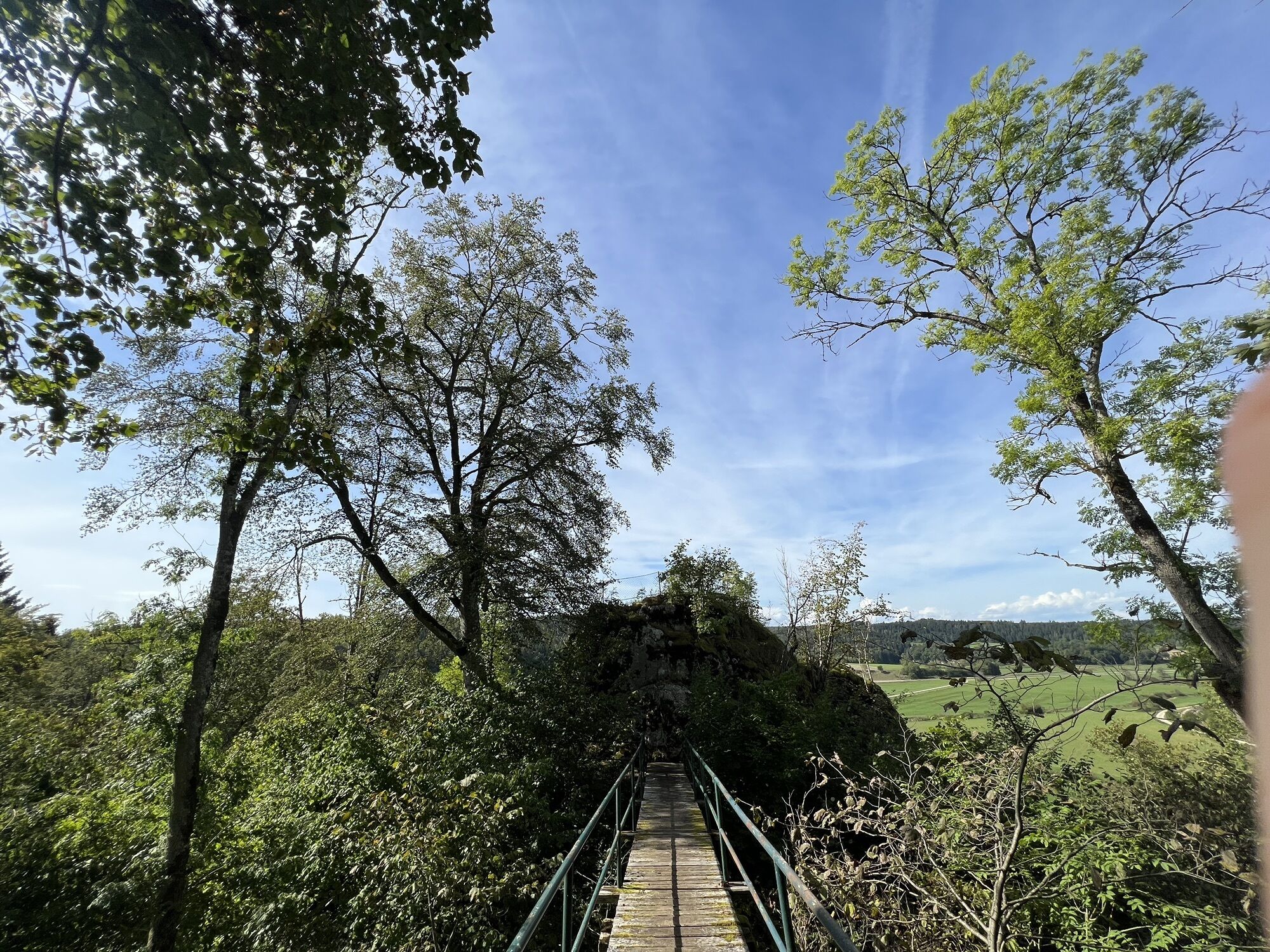
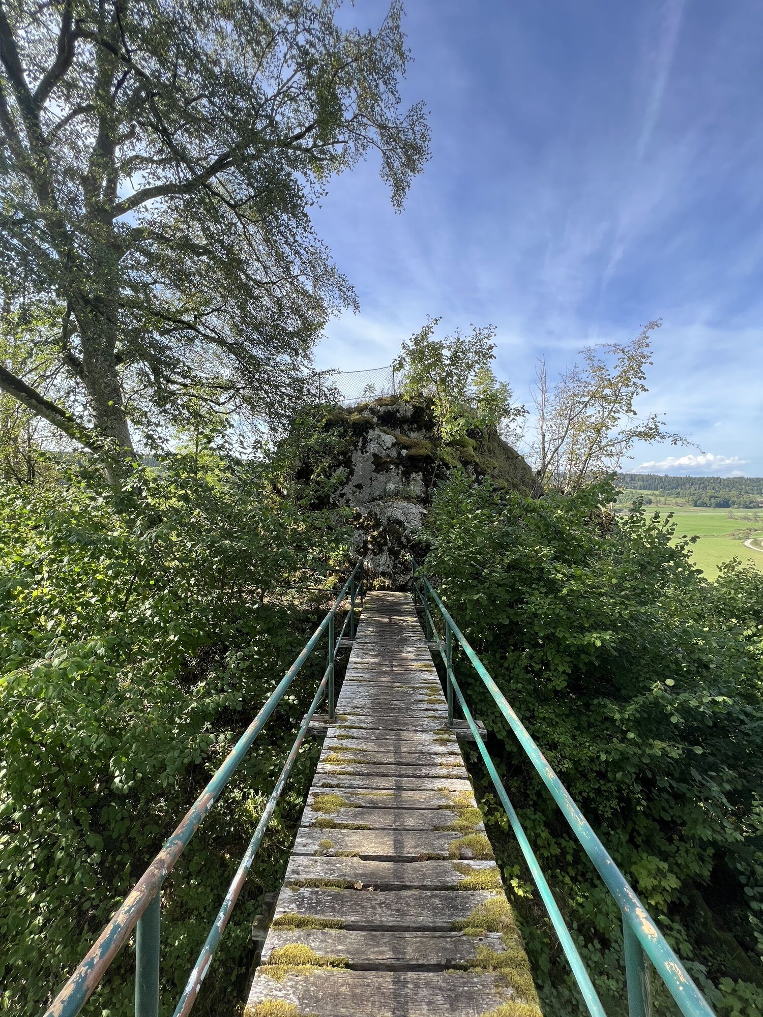
The Witbergrunde leads over six kilometers from the small wood "Sieben Kirschbäume" to the Nägelesfelsen and to the ruin Hertenstein, where beautiful views over the Lauchert valley await in each case....
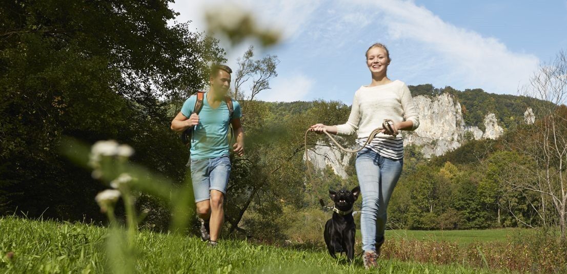
The Witbergrunde leads over six kilometers from the small wood "Sieben Kirschbäume" to the Nägelesfelsen and to the ruin Hertenstein, where beautiful views over the Lauchert valley await in each case. A board at the ruin tells the story of the former castle. The round runs in large parts through a shady beech forest and is therefore especially on hot summer days a pleasure, but because of its length also nice to walk as a "fast round".
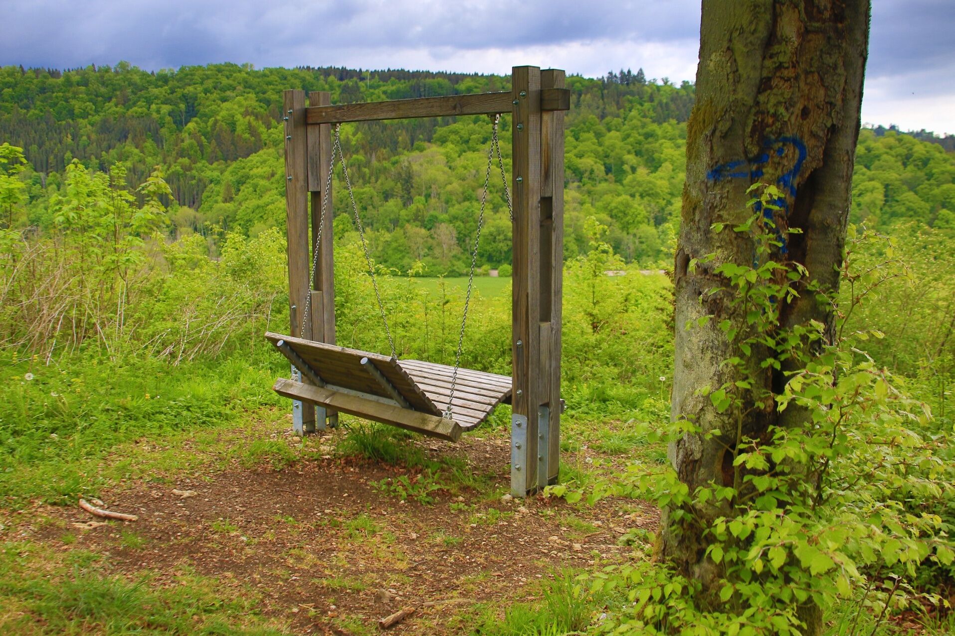
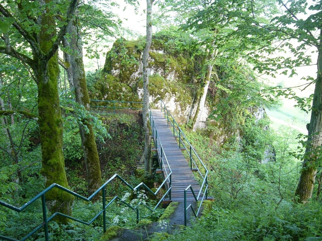
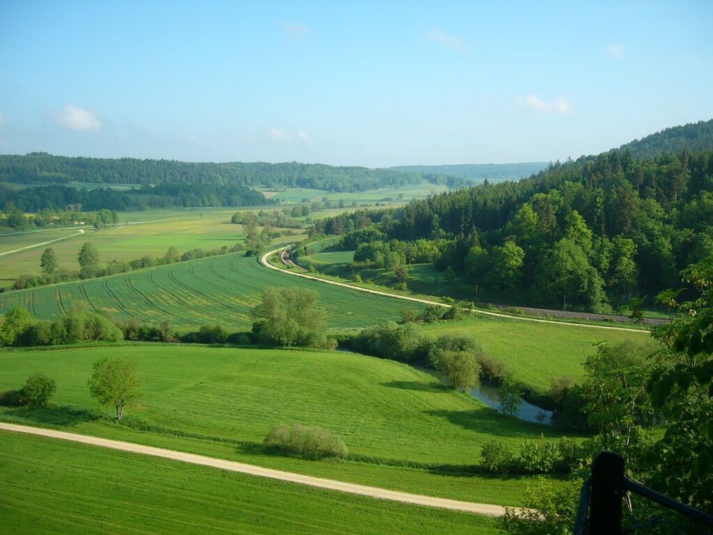

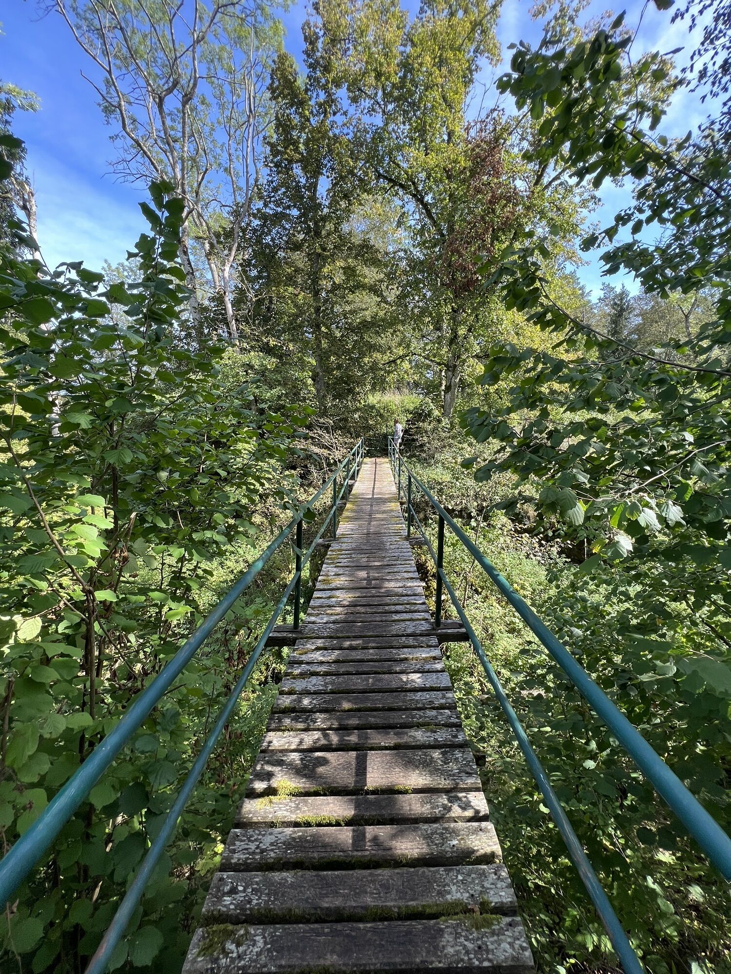
We start our tour at the parking lot near the wood "Sieben Kirschbäume" and follow the path that leads in a northeasterly direction into the forest. Already after a short stretch we meet the Nägelesfelsen and can enjoy the first beautiful view of the Laucherttal. We continue downhill in a southeasterly direction until we reach the bottom of the Laucherttal valley. At this junction we keep to the left and now walk along the gravel path in the Laucherttal valley always following the edge of the forest until it joins the forest again. After about 400 m we turn right and follow the course through the forest until we enter the Lauchert valley again, pause briefly and admire the beautifully overgrown meander loops of the Lauchert. Then we turn right at the fork and follow the edge of the forest steadily on a gravel path until the path branches off to the left again. Now we go up a short climb into the forest until we come to another junction. Now we can make a detour to the "Ruine Hertenstein", a lookout point, which we reach via a forest path and a wooden bridge. The bench at the lookout point Hertenstein invites us to a short rest, where we can let our gaze wander into the picturesque Lauchert valley. Our tour continues in a southerly direction, where we once again have the opportunity to take a look into the Lauchert valley on the left side and then continue until we come across a refuge. Here we turn right and walk until we reach the white cross, a large wooden cross, where we take the path to our left that leads us along a sparse forest edge back to the parking lot.
Those who need refreshment after the hike will certainly find the right gastronomic offer in the nearby Sigmaringen town center.
Think of sturdy shoes, weather appropriate clothing and if necessary walking sticks!
Please note that these are natural trails, which can be slippery, possibly icy, in appropriate weather conditions. Due to this, a complete walk on the path in winter is not recommended for safety reasons.
Navigation: Nollhofstraße (then follow the signs to the hiking-parking lot "Witbergrunde").
You can find more information about public transport here.
Parking lot at the "Sieben Kirschbäume"
The ruin Hertenstein is very suitable for a rest.
Beliebte Touren in der Nähe
- 5,0
Amalienfels Tour
leichtWanderung 14,6 km - 5,0
Donaufelsenläufe - Klosterfelsenweg
mittelWanderung 12,7 km - 1,0
Thiergarten
leichtWanderung 6,13 km Donautal
leichtWanderung 3 kmKelten - Heuneburg Rundwanderung
leichtWanderung 11,5 kmZum Mammutbaum
leichtWanderung 7,12 kmKloster-Felsenweg und Fürstliche Anlagen Inzigkofen
mittelWanderung 20,6 kmDonau-Radweg
leichtRadfahren 203,1 km- 4,0
Donaufelsenläufe - Donaufelsengarten
leichtWanderung 8,64 km Kloster-Felsenweg und Eremitage
leichtWanderung 8,78 km
Wandern & Tracking


Verpasse keine Angebote und Inspirationen für deinen nächsten Urlaub
Deine E-Mail-Adresse wurde in den Verteiler eingetragen.





