


From Friedrichshafen to the picturesque landscape around Markdorf, the town above the lake
The tour starts at the Tourist Information in Friedrichshafen. Head north through the Riedlepark on the signposted and tarred main route. Towards the end of the forest, the tarred path splits - take the...
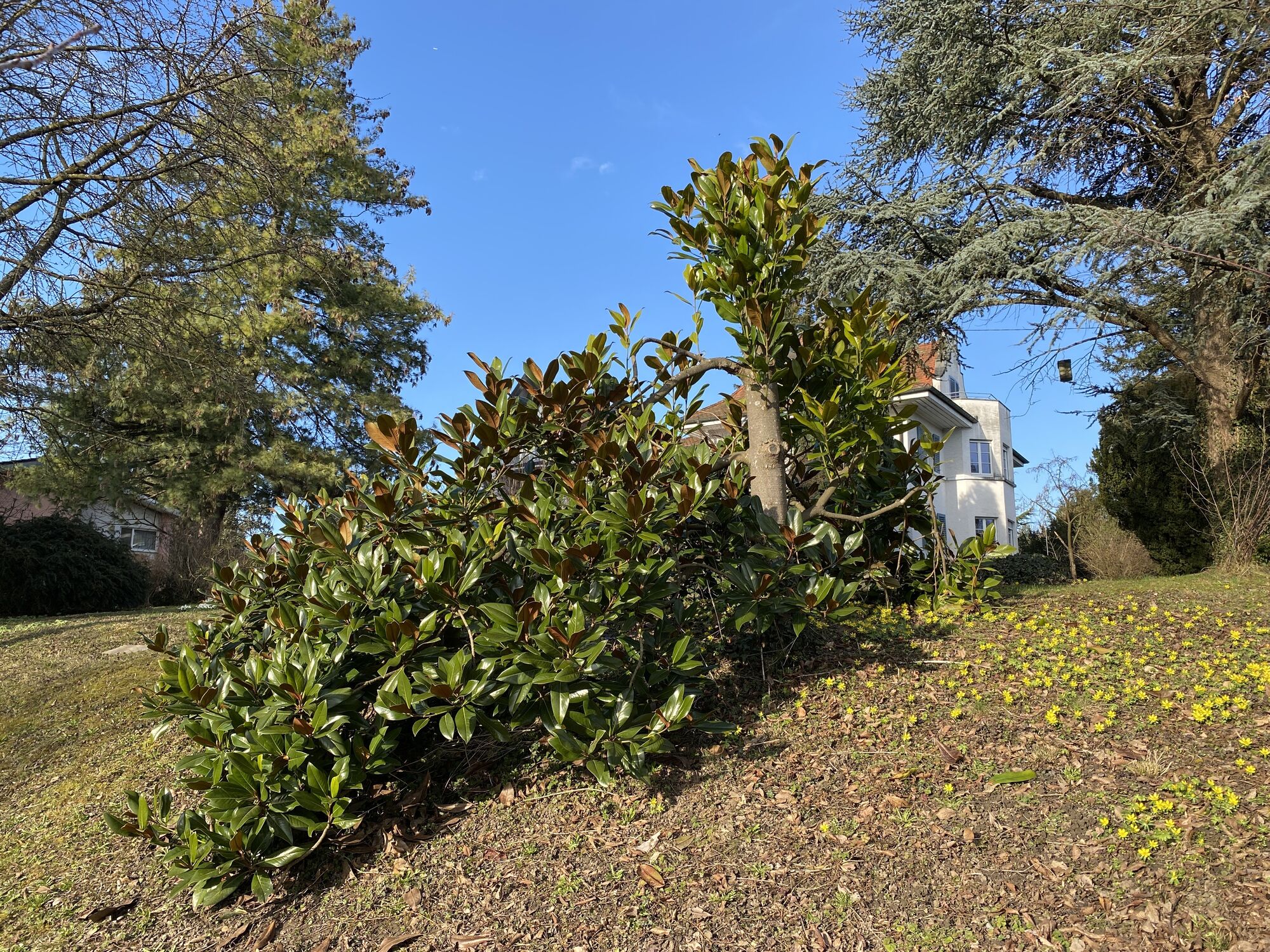
The tour starts at the Tourist Information in Friedrichshafen. Head north through the Riedlepark on the signposted and tarred main route. Towards the end of the forest, the tarred path splits - take the left branch. Out of the forest, the route takes you past the listed Zeppelin village with its show house (May to October, Sundays 12 - 17 h). You leave the town with a view of the suburb of Berg and turn left on the path sloping down to the Rohrbach onto the route of the former Teuring valley railway. Follow this idyllic route. A T-junction at a wooded deck changes the course: you cycle along the tarmac road to the left up the slope to the Kappelhof. A somewhat bumpy dirt road section of about 500 metres leads you to the forest uphill in the direction of Raderach.
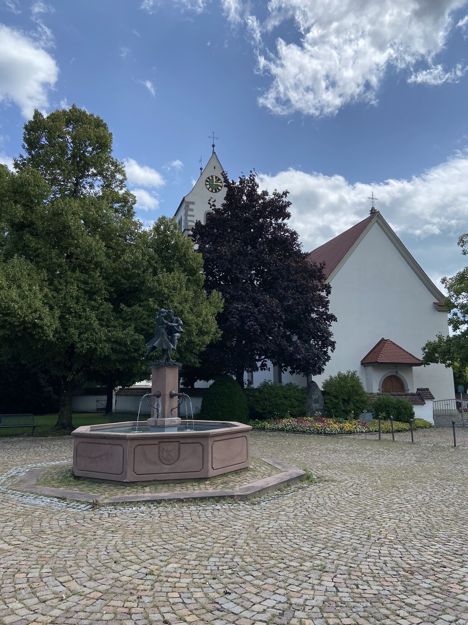
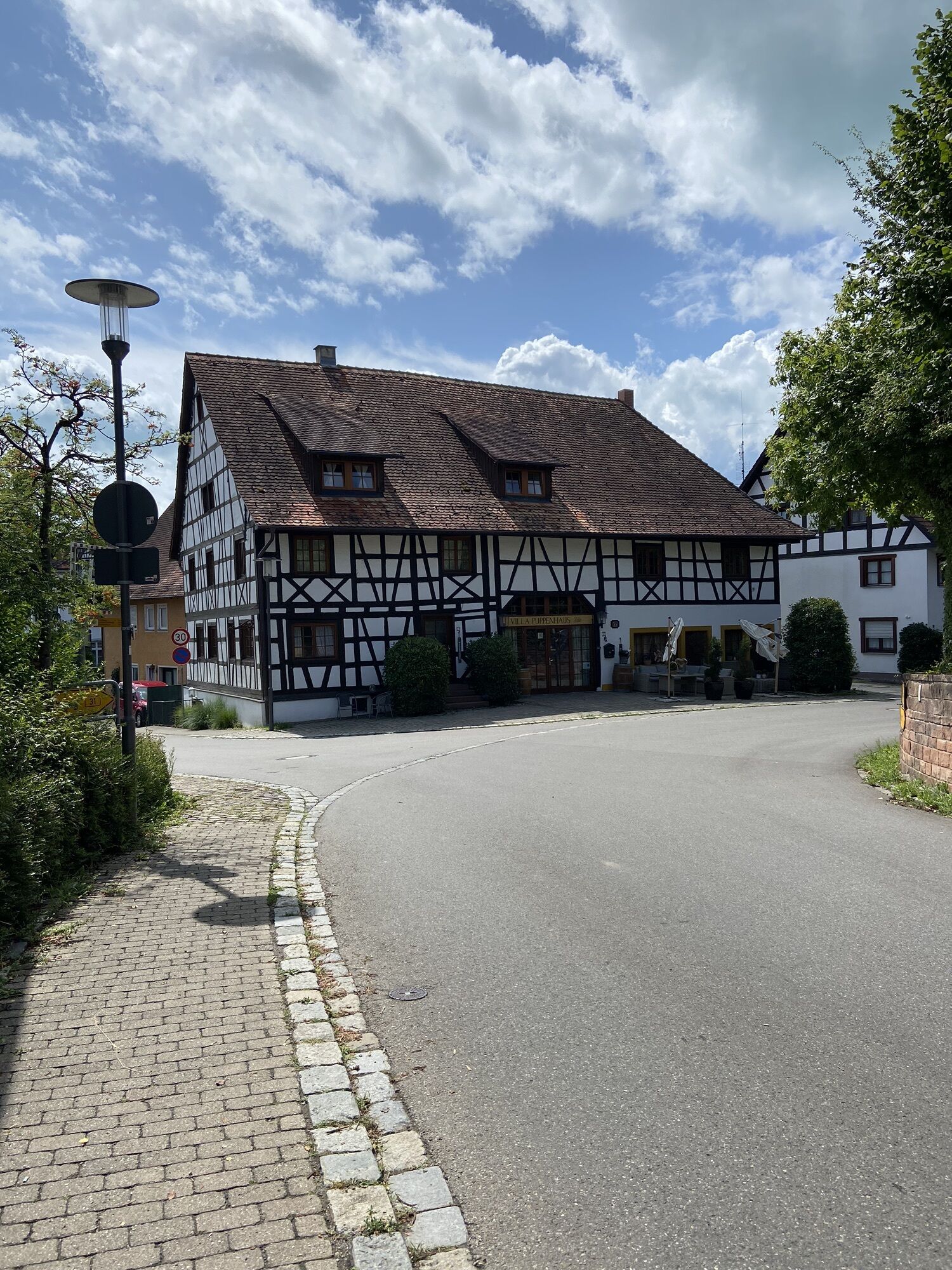
Along the edge of the forest, the trail leads to the Hochkreuzkapelle chapel between Riedheim in the south and Bergheim in the north. The tour meanders on to the historic town of Markdorf. Via the Weinsteige, it goes up to the beautiful old town. You come to the Untertor (lower gate) and can cycle out of town along the main street, which is dotted with many shops. Past meadows and forest edges, you pass through small villages that pave the way to Ittendorf. Through the gently rolling lakeside hinterland of the Linzgau region, the route continues via Hundweiler, Reute and Kippenhausen to the holiday resort of Immenstaad on Lake Constance. Special highlights here are the beach bath and a round trip on the Lädine, a historic sailing ship. You leave the town and follow the signs of the Lake Constance Cycle Path to Fischbach and past the baroque castle church, the landmark of the town of Friedrichshafen, back to the starting point.
The following parking facilities are available in the immediate vicinity: " Parking garage "Am Stadtbahnhof", Franziskusplatz 4 parking garage SEE.STATT, Bahnhofplatz 1-3 Underground car parking Graf-zeppelin-Haus, Olgastraße 20
End the evening at the Manzell leisure area with a barbecue or in the lakeside garden restaurant "Zum Schorsch" and enjoy the cooling waters of Lake Constance.
Beliebte Touren in der Nähe
- 4,8
Bodensee LandGänge "Gehrenberg GuckinsLand"
mittelWanderung 15 km - 3,2
Bodenseeradweg
Radfahren 210,8 km - 2,0
Bodensee LandGänge "Bergtour Höchsten"
schwerWanderung 16,3 km - 4,7
Meersburg - Rebgut Haltnau - Schlosskirche - Kapelle "Zum Frieden"
mittelWanderung 11,3 km - 5,0
Bodensee LandGänge "Bermatinger Waldwiesen"
leichtWanderung 9,20 km - 4,0
Wanderung Rotachweg
leichtWanderung 6,66 km Wanderung rund um Bermatingen und Ahausen
leichtWanderung 10,3 km- 5,0
Planetenweg Kluftern
leichtWanderung 5,61 km - 5,0
Runde durch Wald und Flur
leichtWanderung 7,32 km - 4,0
Hagnauer und Immenstaader Obst- und Weinwanderweg
leichtWanderung 16,2 km
Wandern & Tracking


Verpasse keine Angebote und Inspirationen für deinen nächsten Urlaub
Deine E-Mail-Adresse wurde in den Verteiler eingetragen.