MTB trail 15 - Le grand tour du plateau de Retord - Espace FFC Ain Forestière
schwer
Hol diese Tour auf dein Handy
MTB trail 15 - Le grand tour du plateau de Retord - Espace FFC Ain Forestière
schwer
Mountainbike
58,46
km
QR-Code scannen und Navigation in der bergfex App beginnen

Wandern & Tracking


MTB trail 15 - Le grand tour du plateau de Retord - Espace FFC Ain Forestière
schwer
Distanz
58,46
km
Dauer
06:30
h
Aufstieg
1.148
hm
Seehöhe
804 -
1.340
m
Track-Download
MTB trail 15 - Le grand tour du plateau de Retord - Espace FFC Ain Forestière
schwer
Mountainbike
58,46
km
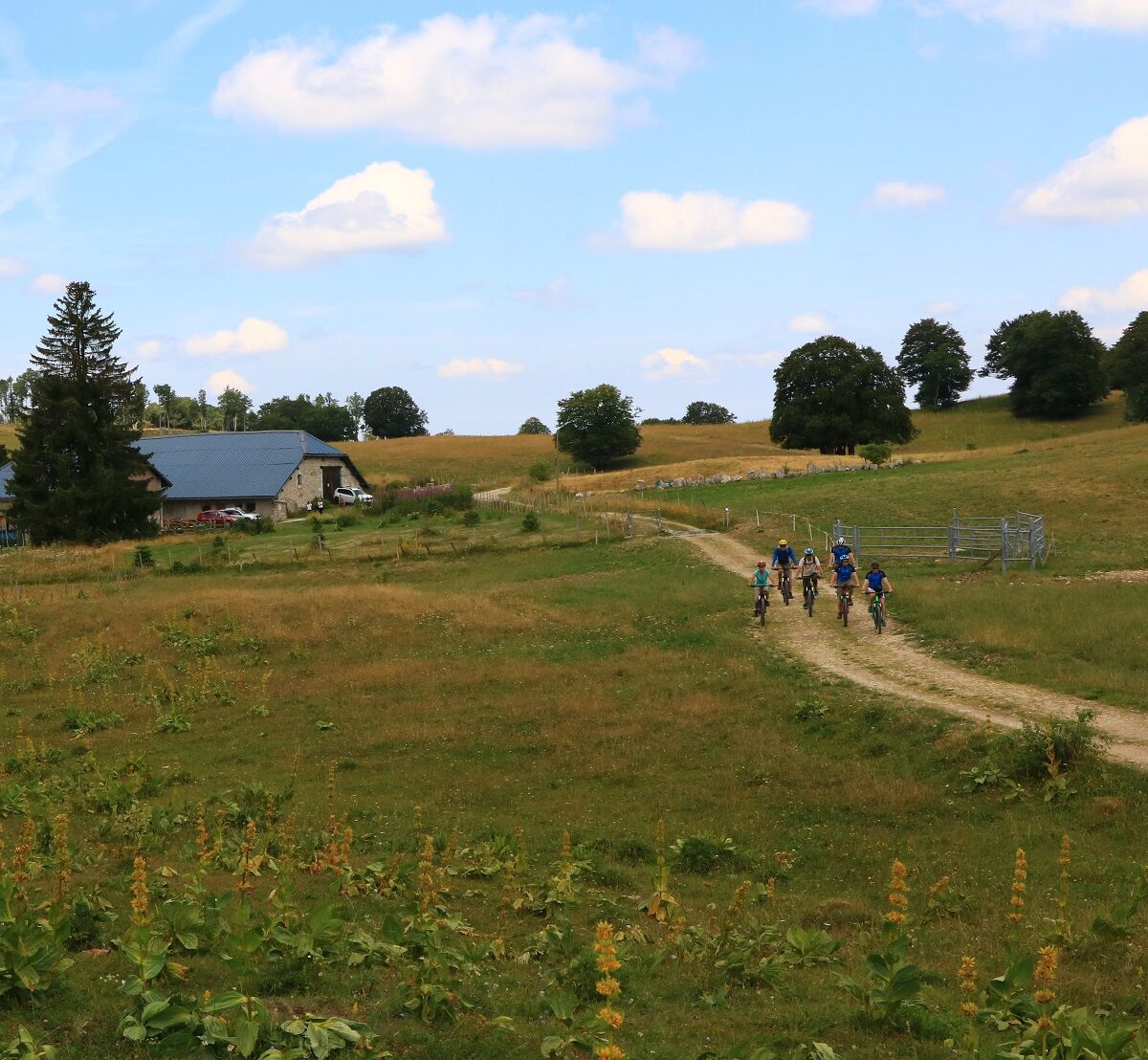
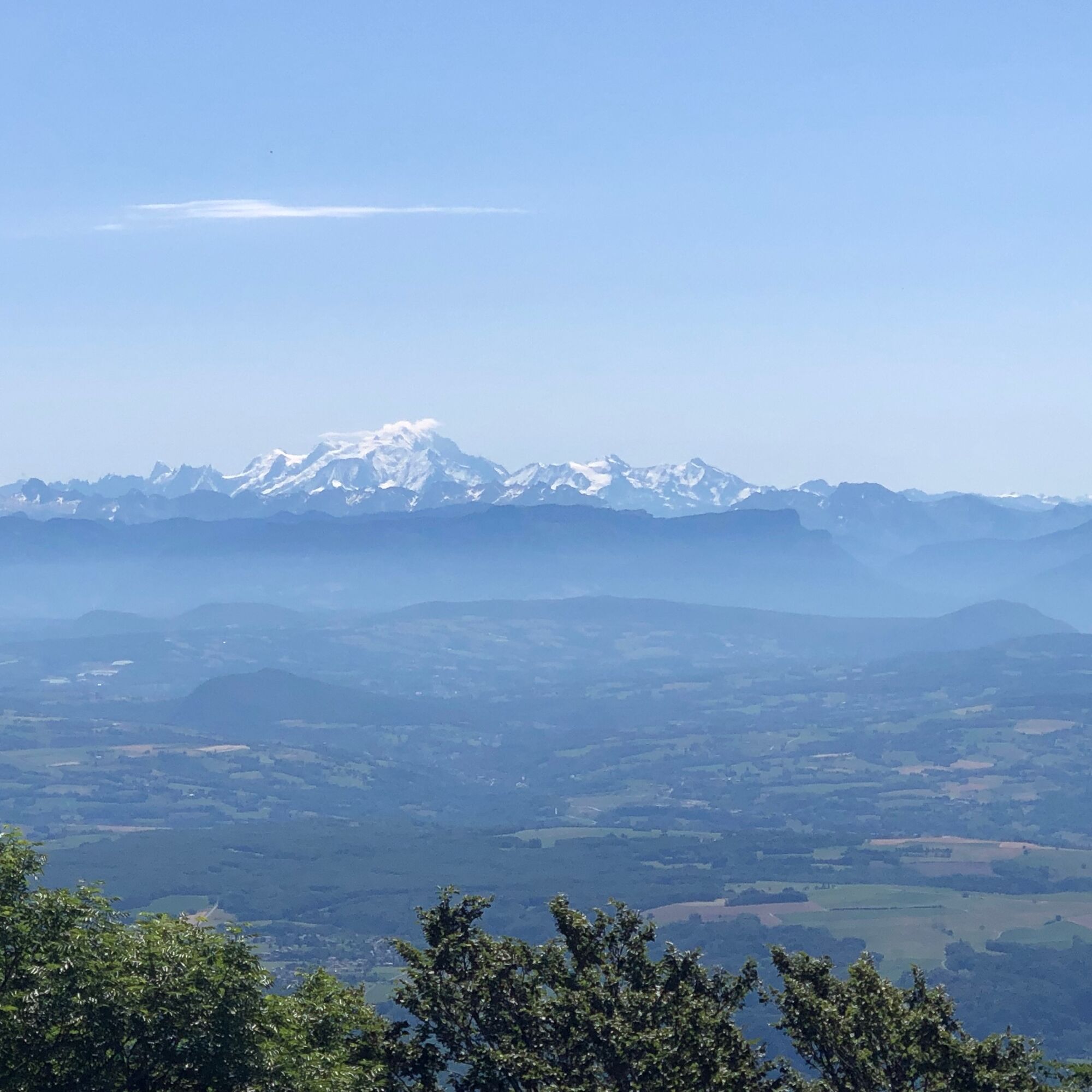
From the resort of Les Plans d'Hotonnes to Lake Lalleyriat, this grand tour du Plateau traverses the vast wilderness of Retord.
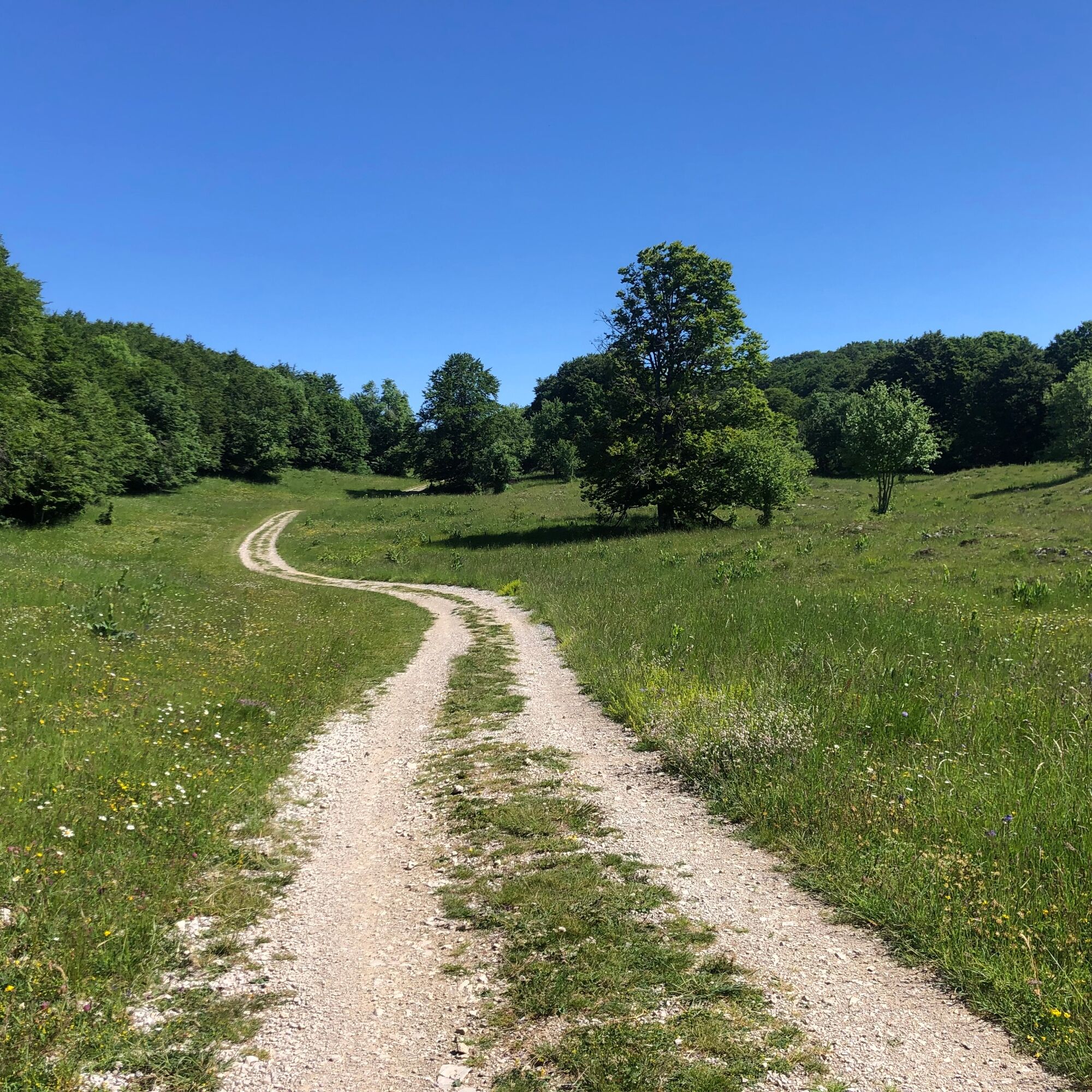
For experienced mountain bikers only, this challenging 60 km route is ideal...
Beschreibung
From the resort of Les Plans d'Hotonnes to Lake Lalleyriat, this grand tour du Plateau traverses the vast wilderness of Retord.
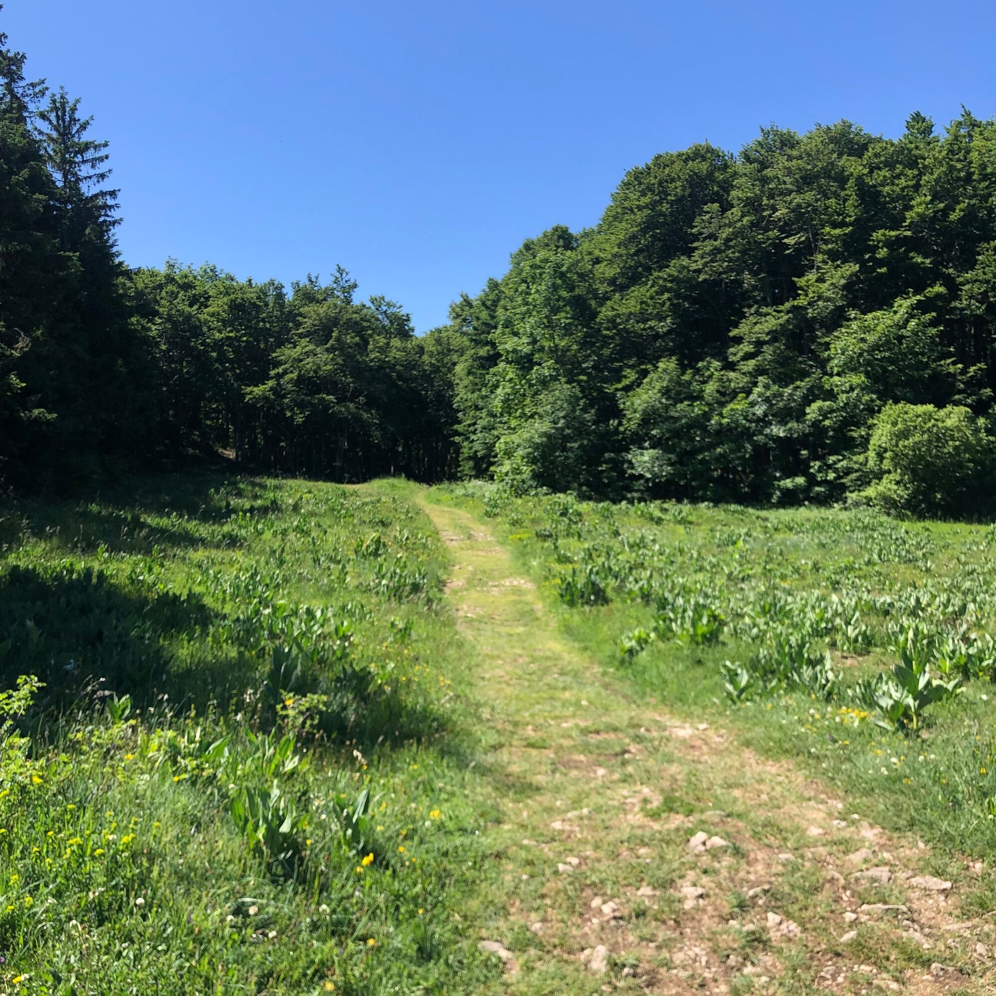
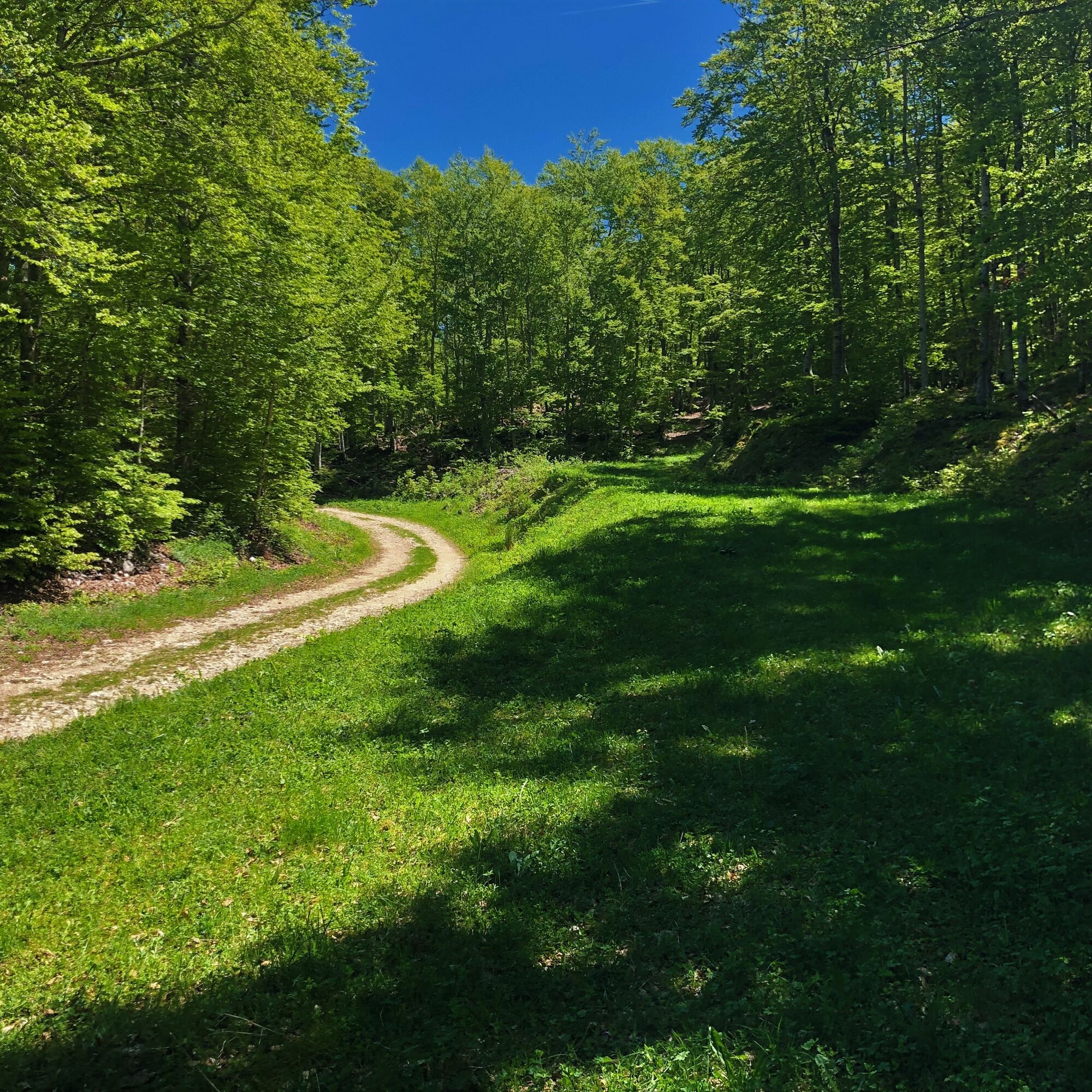
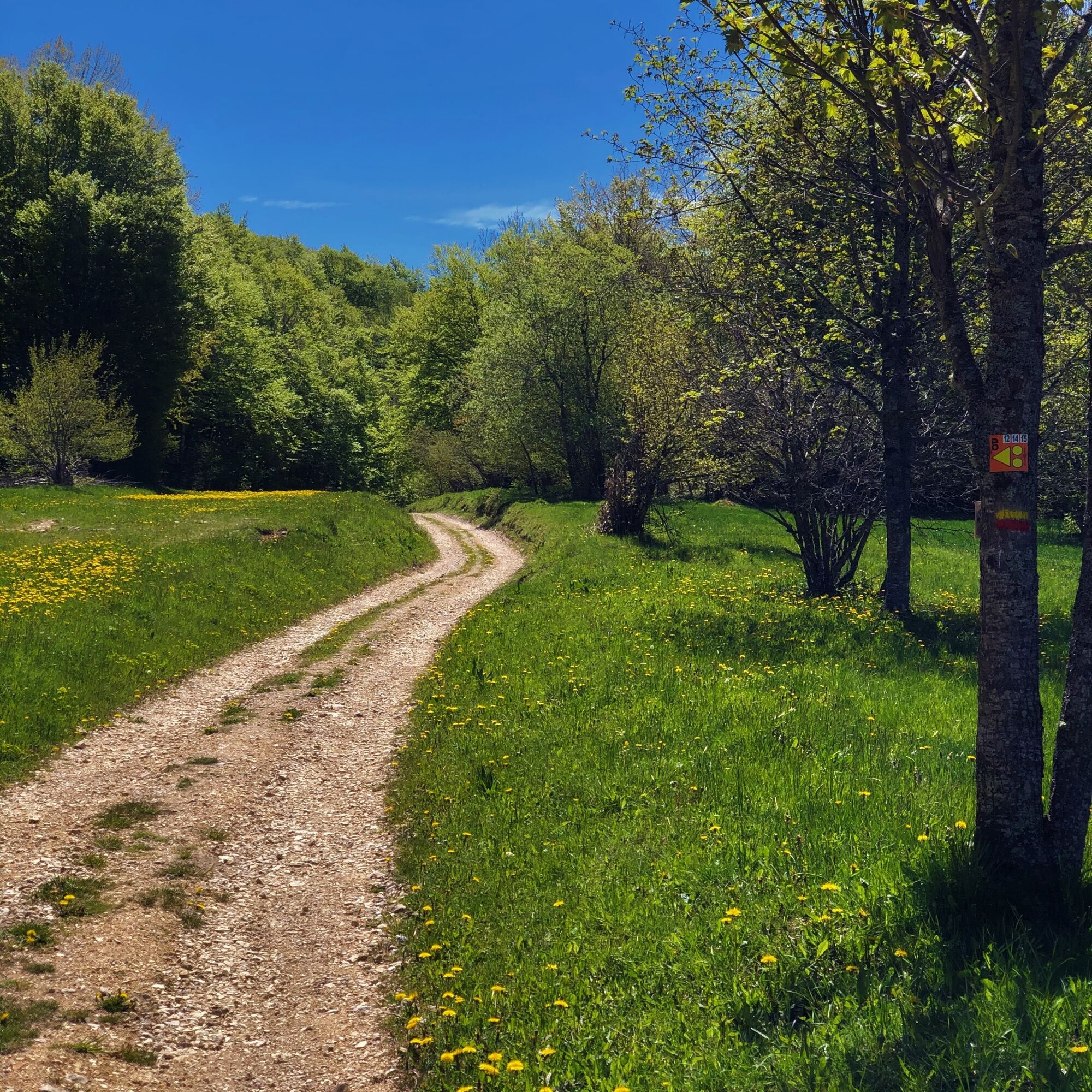
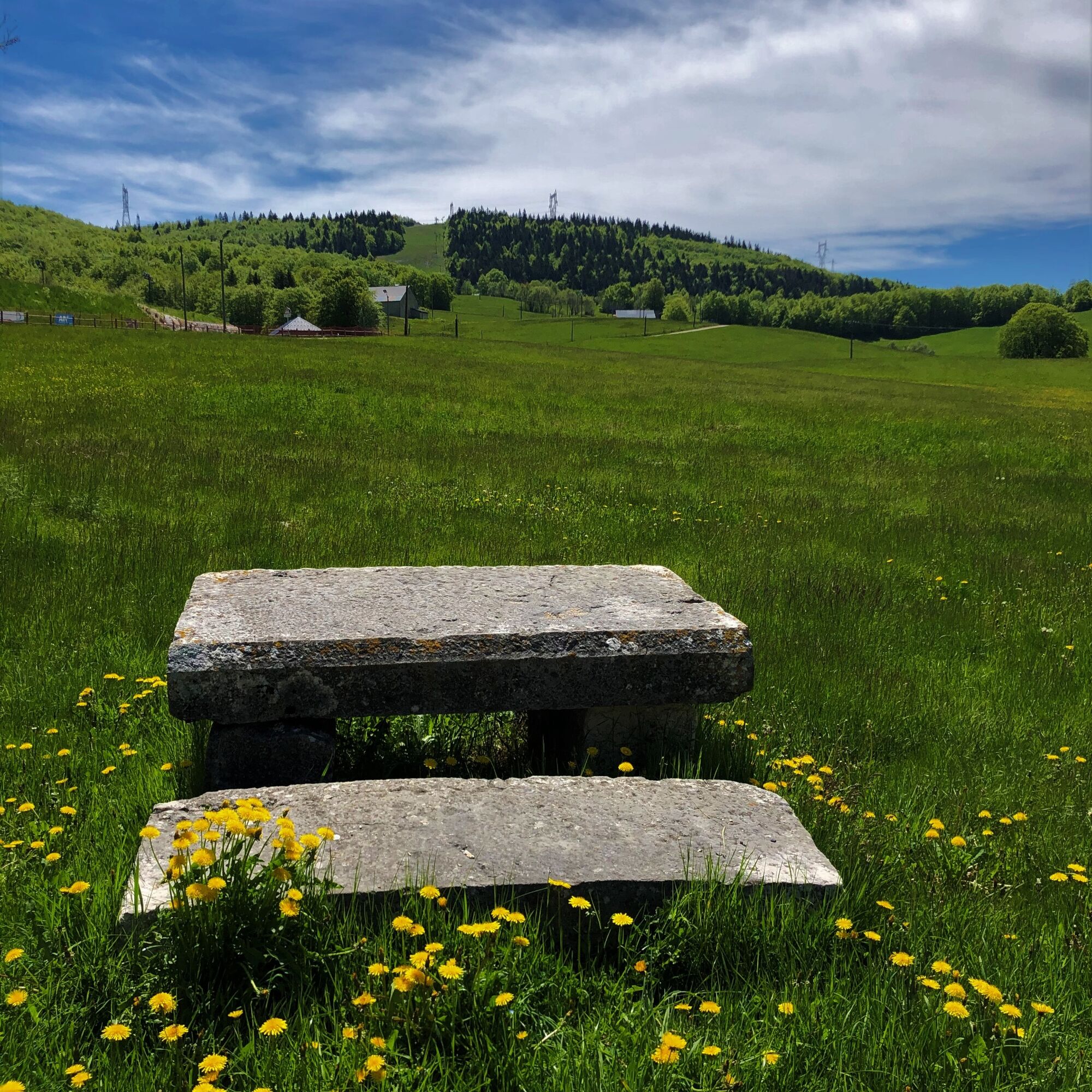
For experienced mountain bikers only, this challenging 60 km route is ideal for a day out. Along the way, you'll find many panoramic views of the Alps. The wide expanses of the Plateau, a paradise for cross-country skiing and snowshoeing in winter, offer a rare spectacle in spring, with its carpet of daffodils, narcissi and other wild flowers as far as the eye can see.
The Les Plans d'Hotonnes sports area caters for all kinds of sporting activities over four seasons. In summer, you can practice biathlon with an instructor, trikke or rollerblading in a safe and privileged learning environment.
Mountain bikes and eMTBs for hire at Sports 360 in Les Plans d'Hotonnes.
Wegverlauf
Pré Brachet
(1.180 m)
Flur/Gelände
3,1 km
Pré Neyret
(1.256 m)
Flur/Gelände
9,0 km
Gouffre du Golet aux Loups
(1.105 m)
Höhleneingang
14,6 km
Lalleyriat
(821 m)
Dorf
19,4 km
Les Granges
(928 m)
Siedlung
24,8 km
Le Raimont
(1.169 m)
Flur/Gelände
45,5 km
Crêt du Nû
(1.351 m)
Gipfel
52,5 km
Wegverlauf
MTB trail 15 - Le grand tour du plateau de Retord - Espace FFC Ain Forestière
schwer
Mountainbike
58,46
km
Pré Brachet
(1.180 m)
Flur/Gelände
3,1 km
La Bauche
(1.247 m)
Flur/Gelände
4,5 km
La Ferme de Retord
(1.270 m)
Restaurant
7,6 km
Pré Neyret
(1.256 m)
Flur/Gelände
9,0 km
Sous la Lade
(1.220 m)
Flur/Gelände
9,6 km
Cuvéry
(1.176 m)
Flur/Gelände
10,6 km
Auberge de Cuvéry
(1.177 m)
Restaurant
10,6 km
Gouffre du Golet aux Loups
(1.105 m)
Höhleneingang
14,6 km
Nerval
(851 m)
Siedlung
18,5 km
Lalleyriat
(821 m)
Dorf
19,4 km
Le Poizat
(895 m)
Dorf
21,0 km
Le Replat
(857 m)
Siedlung
22,6 km
Les Granges
(928 m)
Siedlung
24,8 km
Auberge de Cuvéry
(1.177 m)
Restaurant
45,0 km
Cuvéry
(1.176 m)
Flur/Gelände
45,0 km
Chez Lisa
(1.171 m)
Restaurant
45,5 km
Le Raimont
(1.169 m)
Flur/Gelände
45,5 km
Pra Devant
(1.241 m)
Flur/Gelände
48,1 km
Crêt du Nû
(1.351 m)
Gipfel
52,5 km
Les Terments
(1.197 m)
Gebirgspass
54,6 km
Autor
Bereitgestellt von Bugey Sud Grand Colombier Tourisme
Die Tour MTB trail 15 - Le grand tour du plateau de Retord - Espace FFC Ain Forestière wird von outdooractive.com bereitgestellt.

Noch keine Bewertungen
Beliebte Touren in der Nähe
Wanderung auf der Großen Jura-Durchquerung: 3 Tage vom Plateau de Retord zum Grand Colombier
schwerWanderung 50,9 kmRandonnée le Tour de Retord
schwerWanderung 18,6 kmMountainbike-Strecke 14 rot - Retord - die Balkone des Mont Blanc - FFC Gebiet Ain Forestière
schwerMountainbike 29,5 kmNaturweg "Sentier du Maquis de Retord"
schwerWanderung 17,8 kmRandonnée de la Ronde des Plans
leichtWanderung 13,1 kmTrailstrecke: Der Tour de Retord
schwerTrailrunning 18,6 kmMountainbike-Strecke 11 Blau - Die Ziegentour - FFC-Bereich Ain Forestière
leichtMountainbike 8,30 kmMountainbike-Strecke 13 rot - Der Süden des Plateau de Retord - FFC Raum Ain Forestière
schwerMountainbike 19,5 kmNaturpfad "Sentier de la Boucle d'Oreille"
leichtWanderung 4,64 kmRandonnée du Pont des Tines et des Grottes du Pic
leichtWanderung 9,53 km

Wandern & Tracking

Über 550.000 Tourenvorschläge, detailliertes Kartenmaterial und ein intuitiver Routenplaner machen die App zum Must-have für alle Naturbegeisterten.

Verpasse keine Angebote und Inspirationen für deinen nächsten Urlaub
Zum Newsletter anmelden
Fehler
Ein Fehler ist aufgetreten. Bitte versuche es erneut.Vielen Dank für deine Anmeldung
Deine E-Mail-Adresse wurde in den Verteiler eingetragen.
Touren in ganz Europa
Österreich Schweiz Deutschland Italien Slowenien Frankreich Niederlande Belgien Polen Liechtenstein Tschechien Slowakei Spanien Kroatien Bosnien und Herzegowina Luxemburg Andorra Portugal Island Vereinigtes Königreich Irland Griechenland Albanien Nordmazedonien Malta Norwegen Montenegro Moldau Kosovo Ungarn San Marino Rumänien Estland Lettland Belarus Zypern Litauen Serbien Bulgarien Monaco Dänemark Schweden Finnland