


Soulane de Buzan


Lookout point on the northern ridge with views over the valley and the peaks of the Couserans

Lavoir de Buzan (at the top of the village) 0 h 721 m
Go straight ahead along the level track (marked in red and white) and turn right at the first junction and left a little further on.
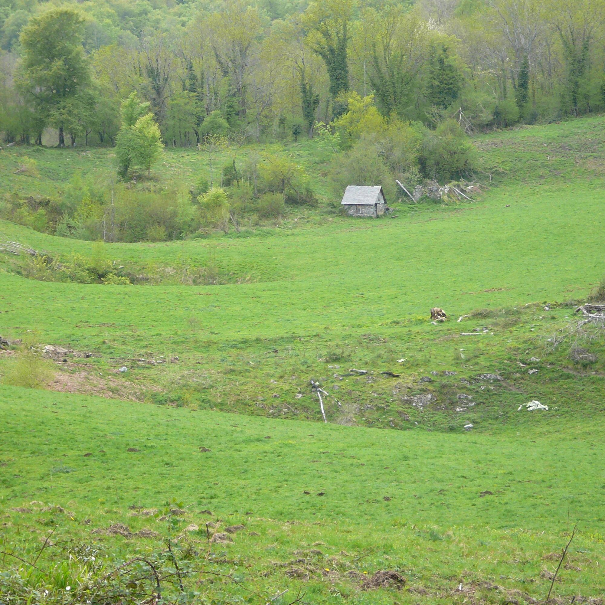
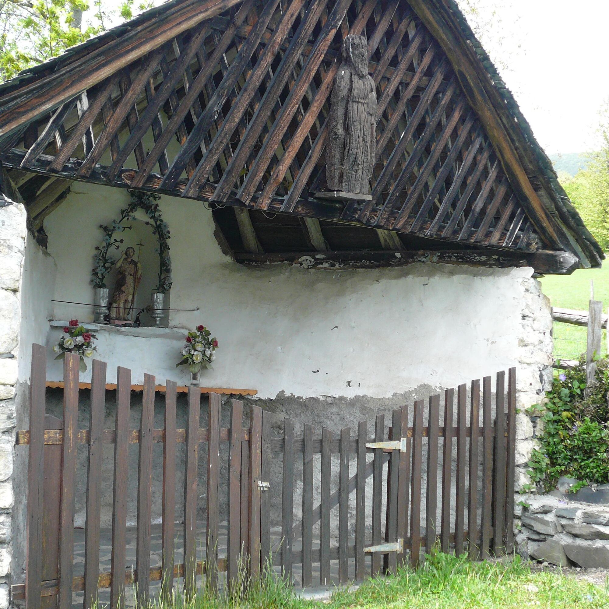
Croix de Casseich (small chapel dating from 1693) 0h 20 821 m (named Cassette on the IGN)
Continue left, then right: a slight descent. Cross a small stream after turning left again. After a bend, the route climbs to the right and then right again. You end up in a meadow dotted with birch trees. Keep level to leave the meadow.
Le Plan 1 h 950 m
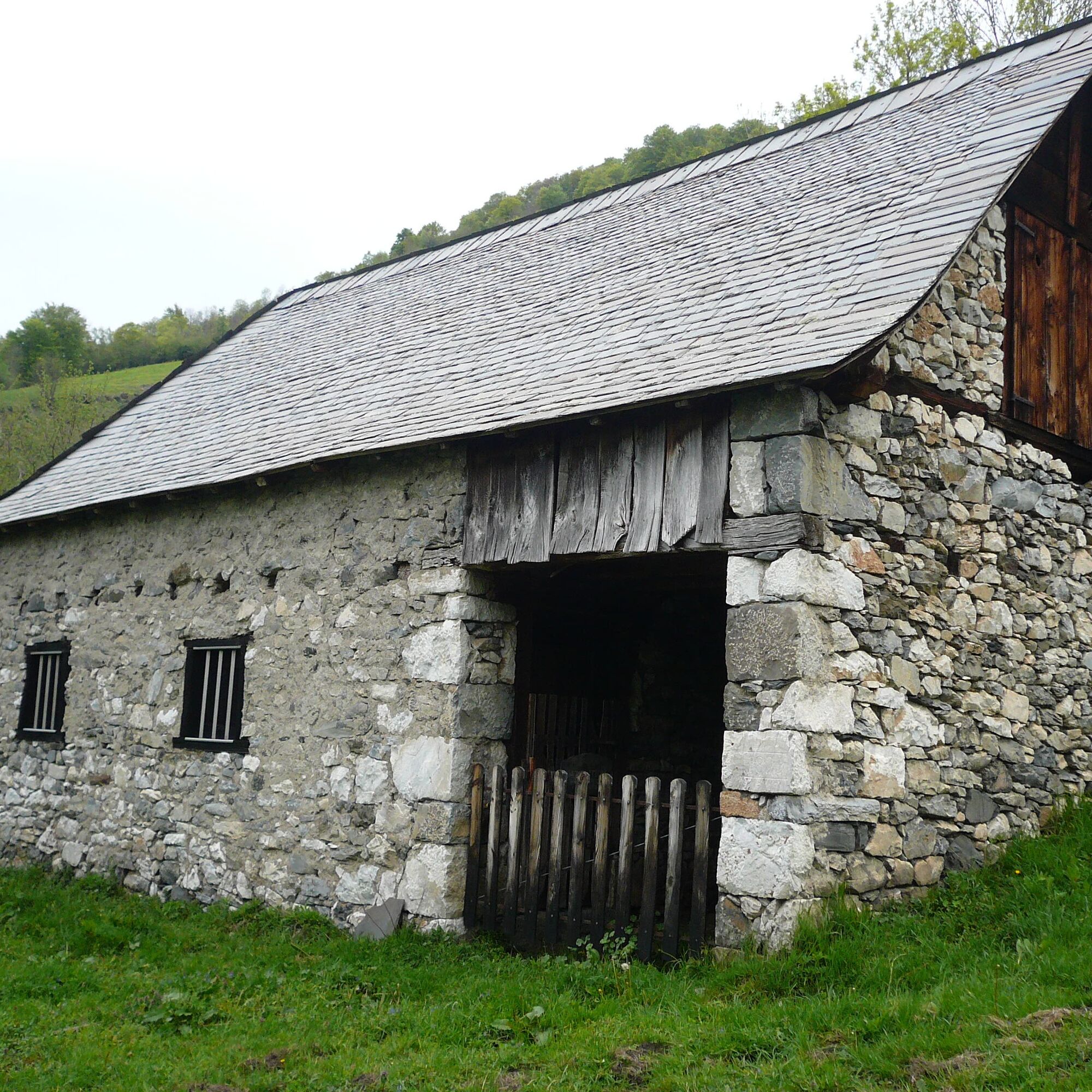
Follow the path to the right (ruined barns), which offers magnificent views from the Col de la Core to the Pic de la Calabasse. As you enter the heathland, you will pass meadows before coming to the fork in the road.
fork (barrier on the right) 1 h 40 1089 m
At this point, on the right, you can descend quickly into the meadow to reach the village of Buzan.
Alternatively, continue left along the track that leads to a turning-off point for a forest track. Take the wide, stony path to the right to reach a fork in the road. You will reach the
Col d'Antys (this pass is not very visible in the forest) 2 h 1053 m
Continue along the path and descend to the left. Be careful to follow the signs at the start of the winding descent.
Cross the forest track 2 h 20 877 m and follow it to the left to reach the village of
Buzan 2 h 45 721 m
Vous êtes au cœur du Parc Naturel des Pyrénées Ariégeoises.
Nous vous encourageons à adopter un comportement responsable dans ce milieu fragile et partagé.
- Rester sur les sentiers et emporter ses déchets.
- Observer la flore sans la cueillir.
- Rester discret, pour les animaux sauvages.
- Dans les zones d’estive, penser à refermer les clôtures et barrières. Ne pas approcher ni nourrir les animaux. Si un Patou (chien de protection des troupeaux) s’approche de vous, écartez-vous lentement et calmement. Pas de grands gestes ni de cris, même s’il aboie, car il vous considérerait comme une menace. S’il vous suit, ignorez-le.
- La baignade dans les lacs est déconseillée. La crème solaire (même bio !) et autres cosmétiques sont source de pollution dans ce milieu fragile.
- Le bivouac est autorisé, mais seulement entre 19h et 9h, et à plus d’une heure de marche d’un parking.
- En période de sécheresse tout feu est interdit. Dans les autres cas, les feux sont autorisés seulement à plus de 200m d’une forêt. Préférer les réchauds aux foyers naturels.
- En cas de rencontre, très peu probable, avec un ours (qui cherche à tout prix à nous éviter) : manifestez-vous calmement, éloignez-vous progressivement, et ne courrez pas.
Beliebte Touren in der Nähe
Tour du Biros
schwerWanderung50,4 kmTour du Mail des Morères
mittelWanderung8,15 kmGR10 Pyrenäenweg Etappe 30
leichtFernwanderweg7,90 kmG 7. Etappe Aucazein-Le Couret, Okzitanien/Frankreich
mittelRadfahren25,7 kmTour du Mail Blanc
leichtWanderung10,8 kmPic du Crabère
schwerWanderung23,4 kmGR 10 Couserans Pyrénées - Castillon
schwerWanderung37,2 kmThe Tour Sainte Catherine
leichtWanderung4,25 kmÉtang d'Araing
schwerWanderung17,5 kmÉtang d'Ayes
leichtWanderung7,32 km
Wandern & Tracking


Verpasse keine Angebote und Inspirationen für deinen nächsten Urlaub
Deine E-Mail-Adresse wurde in den Verteiler eingetragen.