


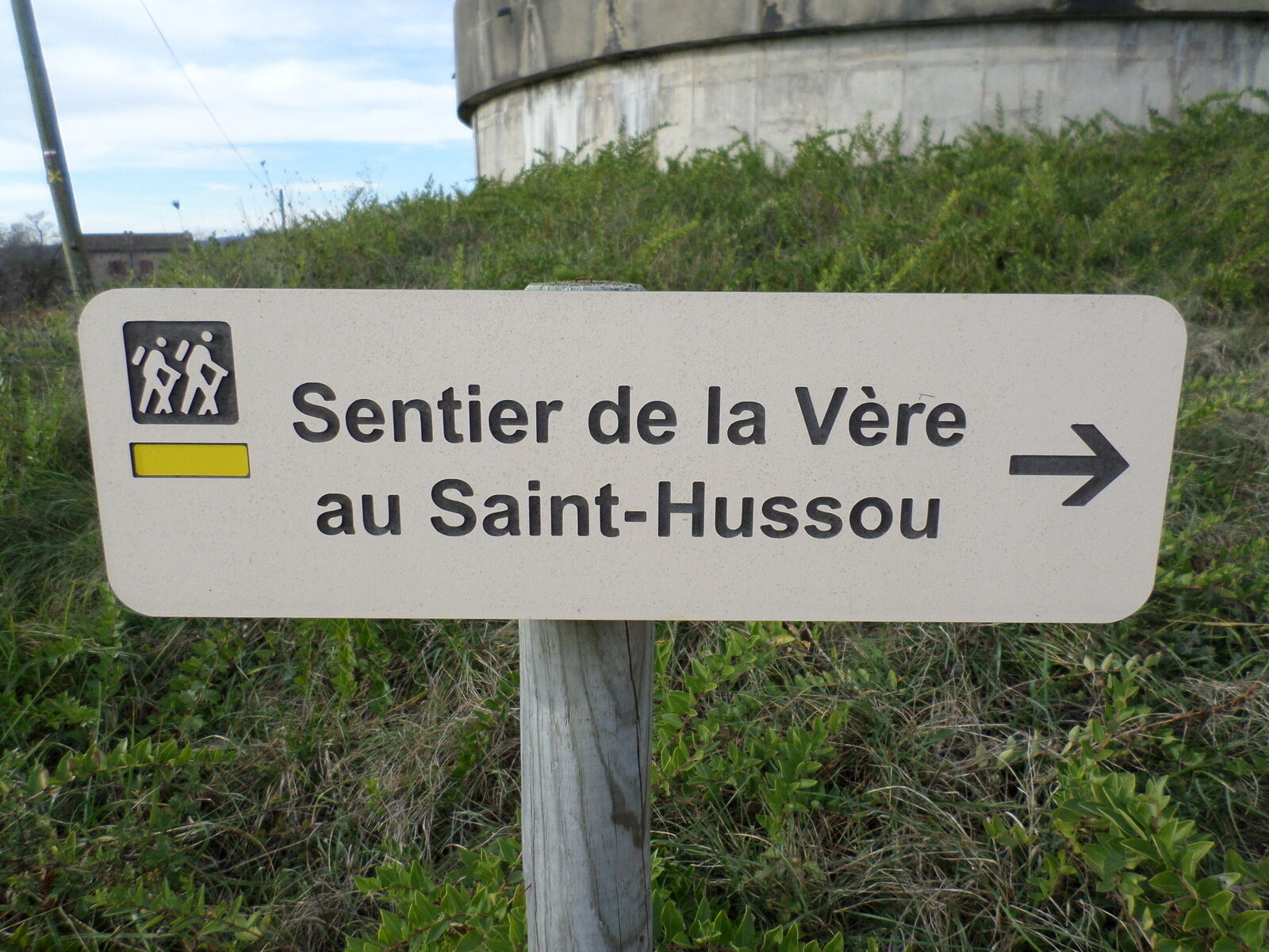
Path from la Vère to the Saint-Hussou


A number of streets and squares in the Gaillac area bear the name Hautpoul, in memory of General Comte d'Hautpoul, who grew up in the Château de Salette (commune of Cahuzac). He was present at all the...
A number of streets and squares in the Gaillac area bear the name Hautpoul, in memory of General Comte d'Hautpoul, who grew up in the Château de Salette (commune of Cahuzac). He was present at all the Napoleonic battles and his actions led to decisive victories, such as at Austerlitz.
Vieux was a very ancient place of pilgrimage, the most important in the Albigeois region until the end of the 15th century, when the bishop of Albi decided to take the relics back to Albi cathedral. The imposing church remains.
1 km from the village is the menhir of Ste Carissime (or Peyre Levade).
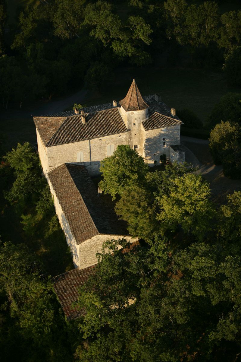
Halfway along the route, take in the pastoral charm of the Château du Cayla, a 15th-century manor house and birthplace of the Romantic poets Maurice and Eugénie de Guérin.
Beliebte Touren in der Nähe
Œnorando® From vine to olive tree
mittelWanderung11,4 kmŒnorando® The winegrowers' round
leichtWanderung7,68 kmCircuit Vélo - C3 De Sainte Cécile au vignoble Gaillacois
leichtRennrad38,6 kmCircuit de Lacapelle Sainte Lucie
leichtWanderung11,5 kmVignoble et Châteaux Path
schwerWanderung17,7 kmPath of the lavoirs
schwerWanderung17,0 kmŒnorando® The Pompirac Path
leichtWanderung7,28 kmSentier du Téroundel
leichtWanderung3,21 km- 5,0
Œnorando® Vignes & Clochers
leichtWanderung8,07 km Sentier du Patrimoine de Cordes sur Ciel
leichtWanderung15,0 km
Wandern & Tracking


Verpasse keine Angebote und Inspirationen für deinen nächsten Urlaub
Deine E-Mail-Adresse wurde in den Verteiler eingetragen.